
Search for another town



Free U.S. delivery 7 to 10 days after you order
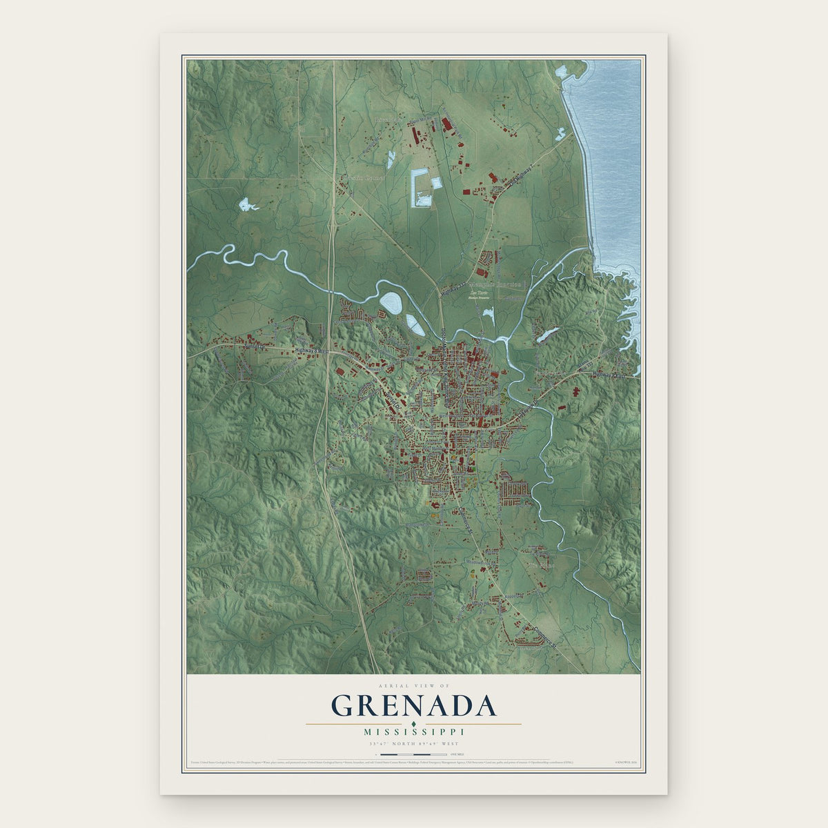
Grenada, Mississippi Map Art
A new map of Grenada, Mississippi, made in 2026 and printed to order on thick archival matte paper.
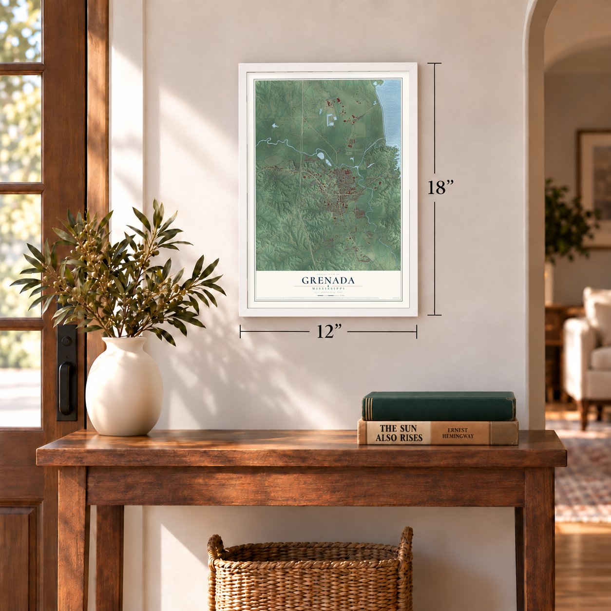
12" x 18" Archival Matte Print
A Map of Home. A Work of Art.
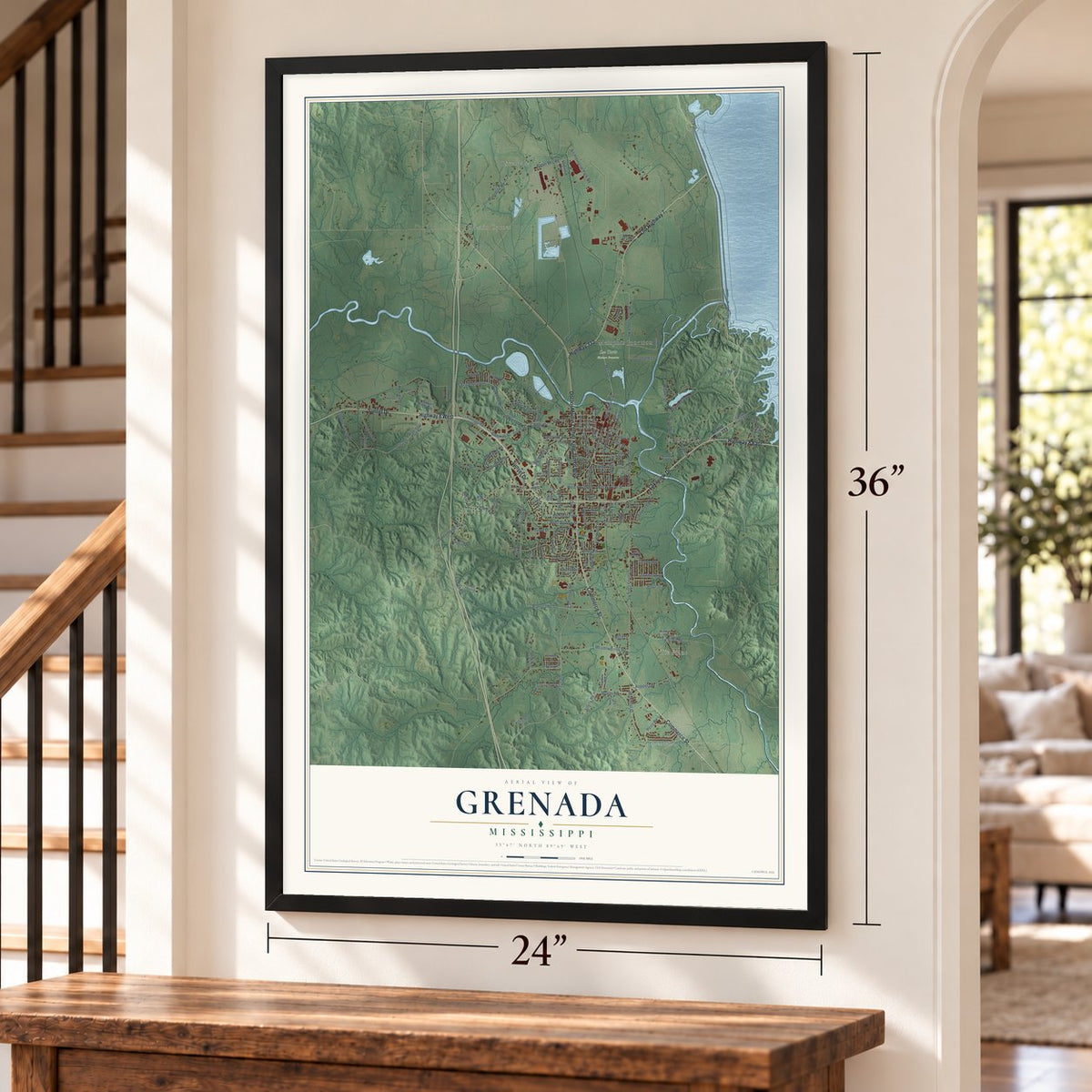
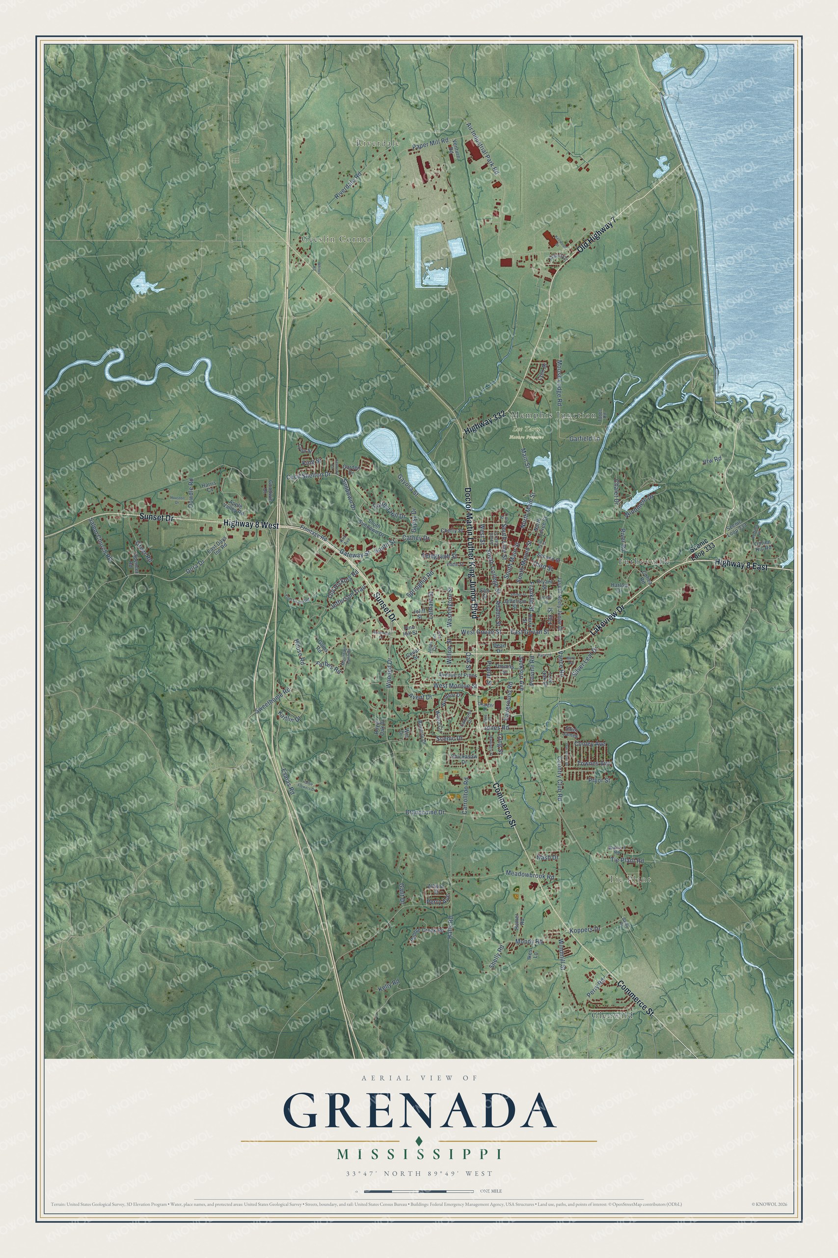
Explore Grenada, Mississippi from a whole new perspective. Created using aerial imagery and detailed geographic data, this map captures Grenada building by building, with labeled streets, familiar landmarks, and shaded topographical relief that highlights the natural contours of the landscape.
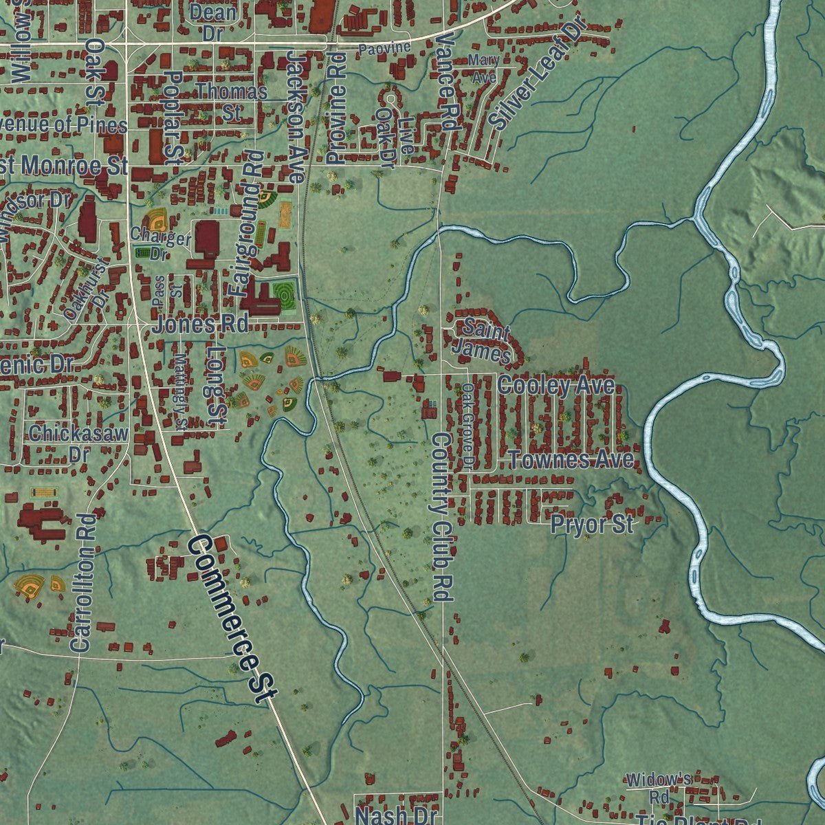
Combining modern data with the timeless character of a vintage atlas, this map is just as interesting up close as it is beautiful on the wall. Whether you grew up in Grenada, spent memorable years there, or call it home today, this unique map is a great way to celebrate a place that means something to you. Zoom in on the preview to look for your street, and then order a print to put your memories on the wall.
Three ways to hang it
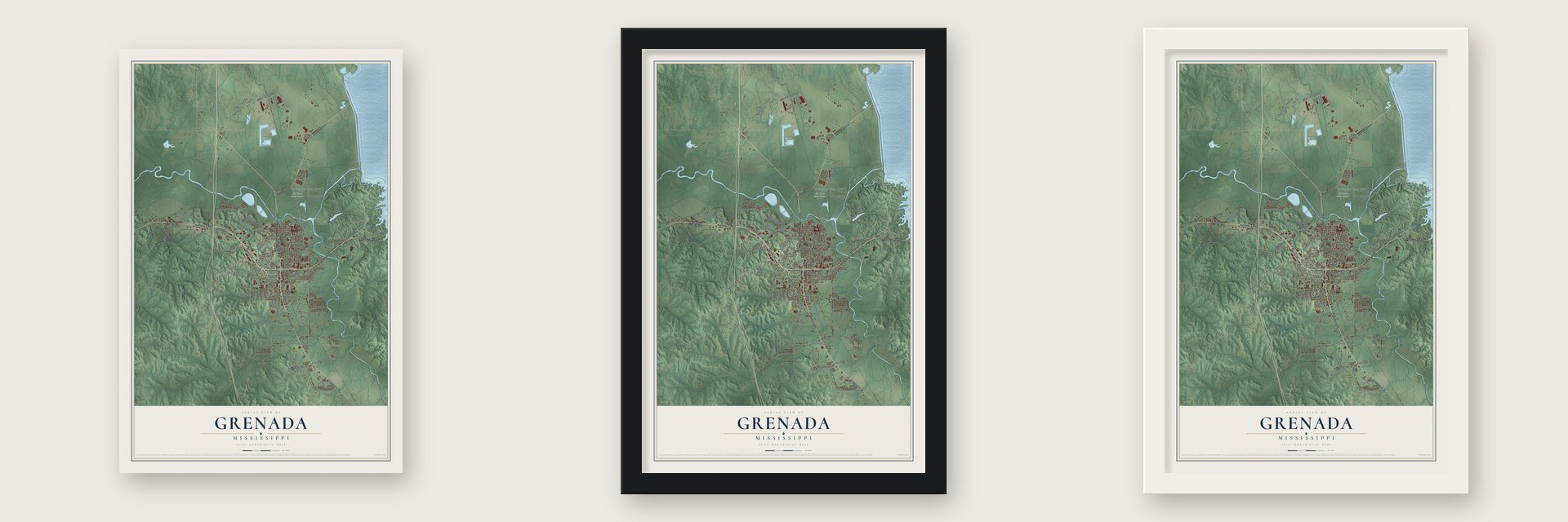
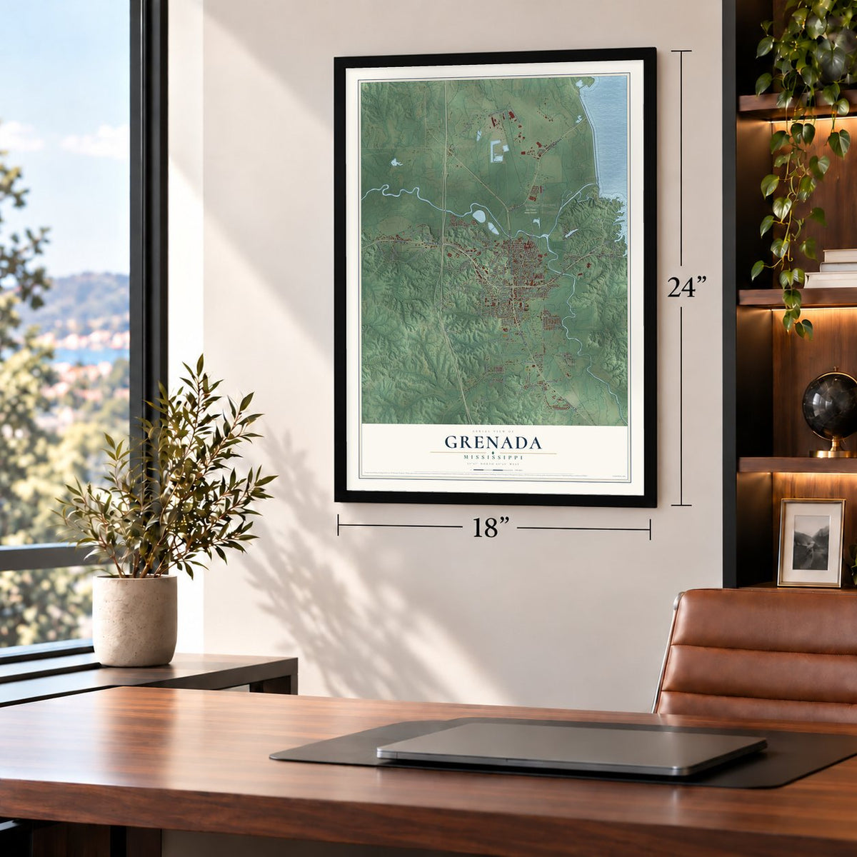
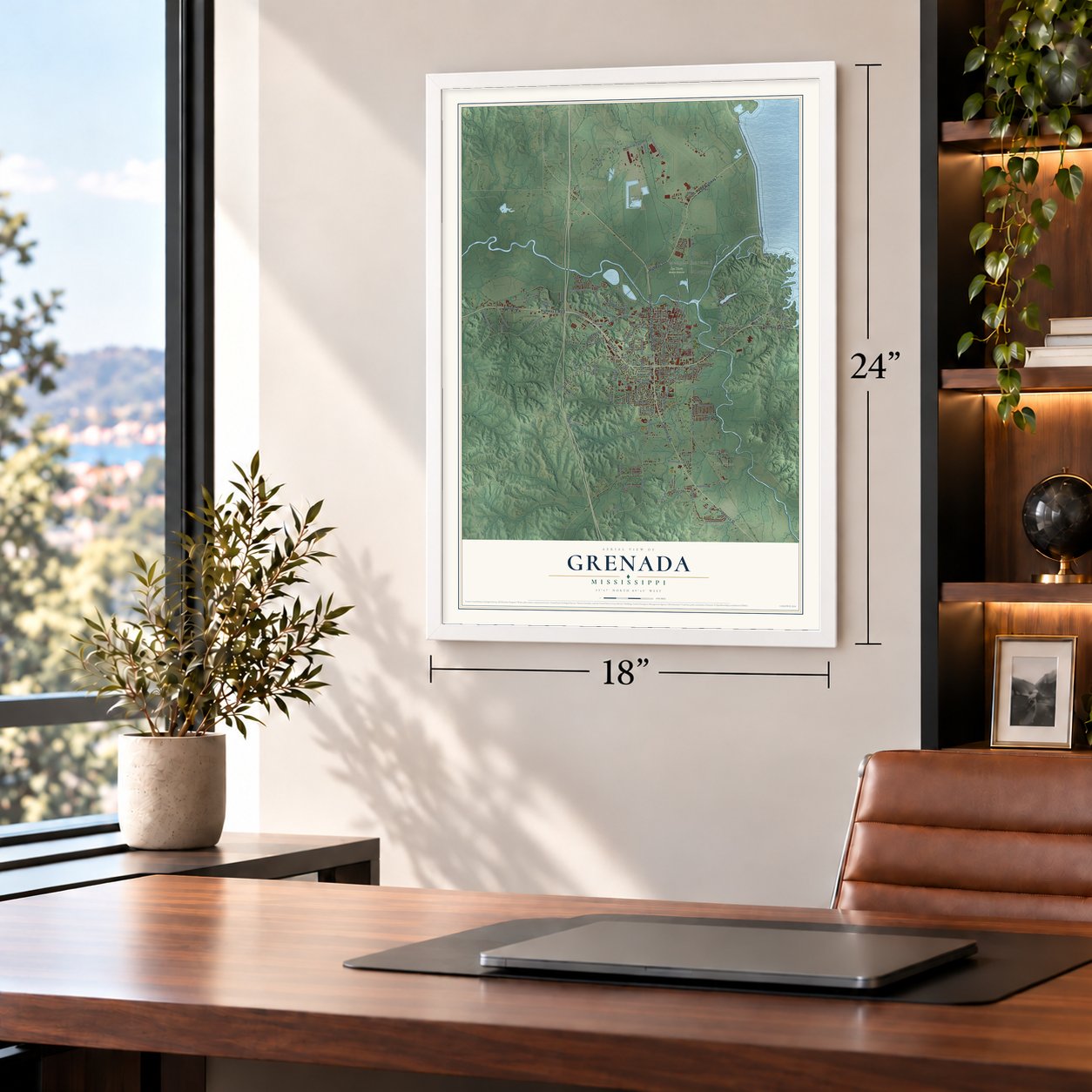
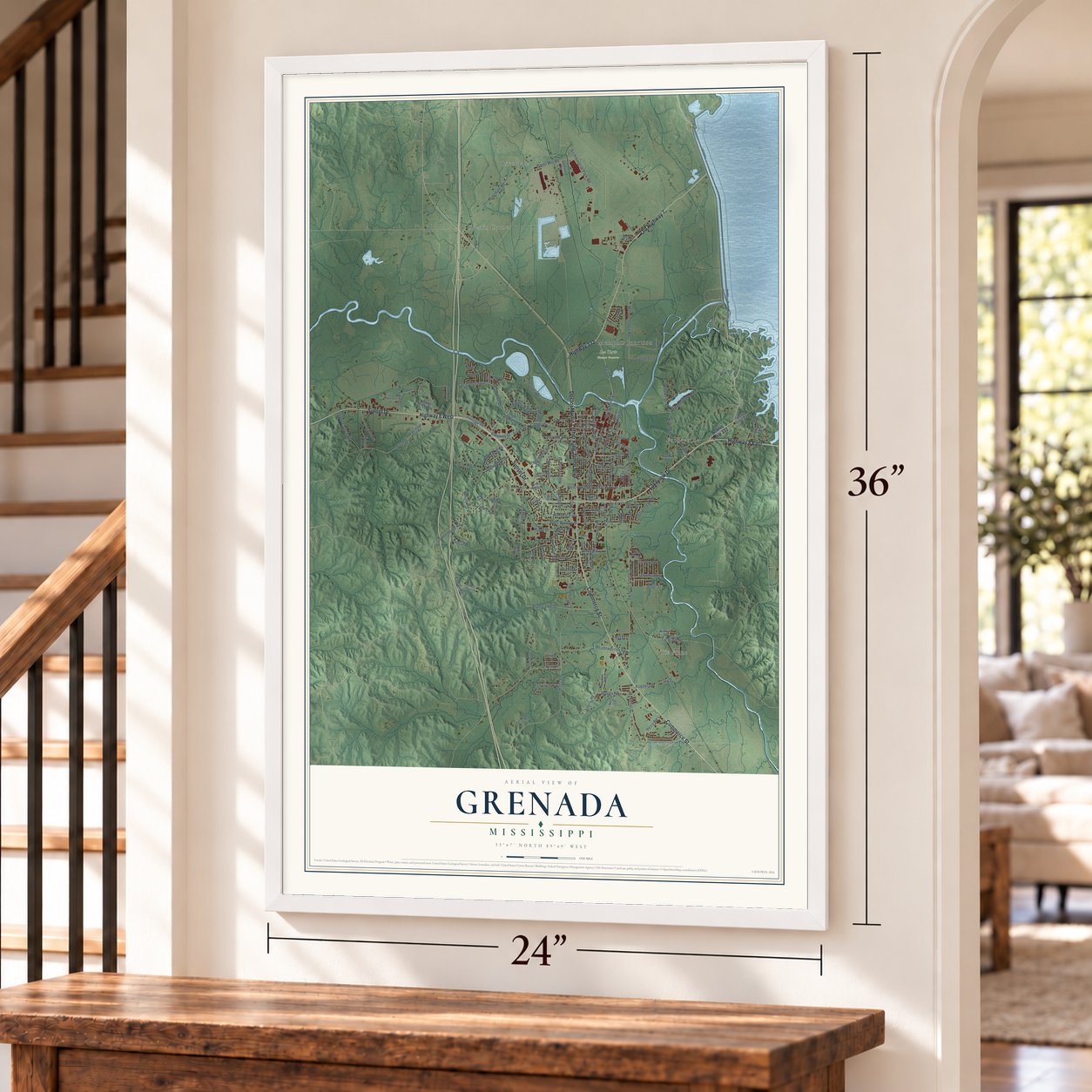
Unframed archival matte, a black wood frame or a white wood frame.
Up close
Geography Worth Displaying
This map was created using accurate cartographic data and authoritative geographic sources, including the U.S. Geological Survey and the Census Bureau. The map brings together terrain, waterways, roads, and building detail. The majority of the streets are labeled, houses are accurately depicted, and the topography is derived from government sources. Combining local data with carefully composed color and shading leads to this beautifully detailed Grenada artwork for your wall.
Rather than simply showing street outlines, we’ve included as many of the street names as we could reasonably fit on the map while keeping their names legible. Zoom in on the high resolution preview to see exactly what’s on the map. We truly set out to create a statement piece for anyone who loves Grenada. So whether it’s for you, or a gift for someone you love, we hope this map of Grenada brings back fond memories.
Read the story behind this map of Grenada, Mississippi from 2026.

About Grenada, Mississippi
Grenada is a city of 12,700 people and the seat of Grenada County, with the Yalobusha River flowing through it. It began in 1836, after the federal government removed the Choctaw people, when two neighboring towns joined together: Pittsburg, founded by Franklin Plummer, and Tulahoma, founded by Hiram Runnels. Present-day Line Street marks where one town ended and the other began.
Planters first cleared land along the Yalobusha because the river gave them water and a way to move their crops. Cotton was the main crop, and it depended on the labor of enslaved Africans. Stores and businesses grew up to serve the county court and market days. On 9 May 1870 the state formed Grenada County from parts of Yalobusha, Tallahatchie and Carroll Counties, and the county and its seat both took their name from Granada, a province of Spain.
- A school for young womenTownspeople opened the Yalobusha Baptist Female Institute in 1851 to educate young white women. The Methodists took it over in 1882 and renamed it Grenada College. By the 20th century it was classed as a junior college, and money troubles during the Great Depression led the church to close it in 1936 and hand its assets to Millsaps College.
- Van Dorn's raid of 1862Confederate troops under General Earl Van Dorn were camped at Grenada in 1862. On December 20, 1862, Van Dorn led his three brigades in a raid on Holly Springs, Mississippi, and they destroyed the Union supply depot there.
- General Walthall settles hereEdward Cary Walthall, a former Confederate general, moved to Grenada in 1871. He became a top lawyer for the railroad companies that came to control travel across Mississippi, spoke for the Democratic Party's push to end Reconstruction, and later served as a United States senator. His home, the Sen. Edward C. Walthall House, joined the National Register in 1988.
- Dr. King's week in 1966Dick Gregory joined Martin Luther King Jr. for a week of marches in Grenada in 1966, protesting discrimination and demanding the right to vote. Six black registrars signed up about 1,000 black residents that week, but once the march moved on, the county fired them and never added the new voters to the rolls. The Southern Christian Leadership Conference stayed on, organizing for at least 11 months.
- The schools open, September 1966A federal judge ruled that August that Grenada had to open its all-white schools to black students. Threats of eviction and firing pushed 200 of 450 students to withdraw. When the other 250 tried to enter on September 12, a white mob chased and beat the children, and reporters too, while local police did nothing. Federal protection began on September 17, and 13 of the attackers were arrested.
Find your street
Names on the Grenada map
Every name below is printed on this map. Look for your street, your school, the park where you played, or the pond down the road.
Places and landmarks7
- Riverdale
- Tie Plant
- Geeslin Corner
- Lee Tartt Nature Preserve
- Futheyville
- Glenwild
- Memphis Junction
Streets and roads157
- Highway 8 East
- Sunset Drive
- Old Highway 7
- Commerce Street
- Lakeview Drive
- Highway 8 West
- Doctor Martin Luther King Junior Boulevard
- Highway 332
- Cecil Shelton Drive
- Koppers Drive
- Vance Road
- Sweethome Road
- Moose Lodge Road
- Wooded Drive
- Springhill Road
- East Govan Street
- Carrollton Road
- Jackson Avenue
- Air Industrial Park Road
- Riverdale Road
- Halls Road
- Paper Mill Road
- South Street
- Tie Plant Road
- Sundown Drive
- Poplar Street
- West Govan Street
- West Monroe Street
- Country Club Road
- Main Street
Show all 157 streets
- North Main Street
- Mondy Road
- South Line Street
- South Mound Street
- Meadowbrook Road
- Fairground Road
- Gayosa Street
- Esaias Road
- Dowdle Road
- Branscome Drive
- Windmill Street
- Dora Drive
- River Road
- Washington Street
- Forrest Hill Drive
- South Main Street
- South College Street
- Silver Leaf Drive
- Salem Church Road
- Latham Street
- Adams Street
- Third Street
- Kaitlin Drive
- Scenic Drive
- Cooley Avenue
- Garfield Lane
- Franklin Street
- Windmere Drive
- Townes Avenue
- Perry Road
- Greer Road
- Gant Drive
- Old Hickory Road
- Jefferson Trail
- Telegraph Street
- Oak Street
- Jones Road
- Gateway Street
- Kelly Road
- Shelly Road
- Pryor Street
- King Street
- Avent Drive
- Provine Road
- Chalet Drive
- Forbes Road
- Cathey Drive
- Perry Avenue
- Nash Drive
- Willow Street
- House Road
- Long Street
- Gypsy Drive
- West Street
- Fox Street
- Vfw Road
- Scenic Loop 333
- Beverly Drive
- Frontage Road
- Jasper Neely Junior Drive
- Apple Valley Road
- Avenue of Pines
- East Days Inn Road
- Obrien Hill Road
- Cherry Street
- Garden Drive
- Second Street
- White Circle
- Pine Hill Street
- Pebble Creek Road
- South Sundown Drive
- Lyon Drive
- Thomas Street
- Royal Oak Drive
- Chickasaw Drive
- Windsor Drive
- Cohea Road
- North Levee Street
- Jefferson Street
- Spencer Road
- Bryant Street
- Dean Drive
- Harris Cv
- Ikes Lane
- Saint James
- Live Oak Drive
- Goodwin Drive
- Homer Road
- Allison Street
- Elm Street
- Lynn Street
- Venture Road
- Berry Street
- Cedar Street
- Harlow Drive
- Joliff Street
- Wet Drive
- Goins Road
- First Street
- Mountain Lane Drive
- Tom Grant Road
- Airport Circle
- Charger Drive
- Eddie Street
- South East Street
- Oakhurst Drive
- Widow's Road
- Kirk Avenue
- Tubbs Road
- Jones Circle
- Line Street
- Kennedy Circle
- Hattie Flowers Drive
- Mattingly Street
- Snider Street
- Oak Grove Drive
- Costilow Road
- Paovine
- Houston Drive
- Pass Street
- Mary Avenue
- Horton Drive
- Rosemont Drive
- Kellwood Drive
- Whites Road
- Bailey Road
- Pike Circle
Names are listed as they appear on the printed map. Zoom into the product photos to find them.
The art of mapping a place
How This Map Was Made
Real places. Remarkable detail. Discover the layers that turn geographic data into a map of home.

The view from above
Aerial imagery reveals the character of the land: woodland, open fields, and the patterns of a place.

The shape of the land
Elevation data brings hills, valleys, and subtle changes in the landscape into view.

The details of home
Roads, waterways, and building footprints come together to make the map feel unmistakably local.

Geography becomes art
Considered color, shading, and typography bring the layers together in a map made for your wall.


Process illustrated with Mendon, Massachusetts. Aerial imagery: USDA NAIP. Terrain: USGS 3D Elevation Program. Map details and finished artwork: KNOWOL.
The Details
About This Print
Choose an archival matte print, or a black or white Ayous wood frame. The archival matte print is unframed.
Select your size and finish above to see the matching product image and price.
Materials & Craftsmanship
A contemporary map with the character of a classic atlas, printed on archival matte paper. Optional frames are made from Ayous wood.
Your printed map does not include the watermark shown in the full-map preview.
Shipping & Delivery
Free shipping within the United States. Every print is made to order in the USA.
Buying a gift? Add a note in your cart and we'll include it. We never put prices in the package.
Prints ship within 2 to 3 business days. Allow 7 to 10 days total from ordering for delivery. Timing may vary during holidays or periods of high order volume.
Read our shipping policy.
Returns and damaged prints
Each print is made to order. Change-of-mind refunds are not available after production.
If your print arrives damaged, misprinted or incorrect, contact support@knowol.com within 30 days of receiving it. Include your order number, photos and a description of the issue.
Read our full refund and replacement policy. For questions about your order, email support@knowol.com.
Find your town
Looking for another city?
Find a map of home in our Mississippi collection, or any town in the country.
Nearby
Maps of towns near Grenada
Know someone from one of these towns? Their map makes a great gift.
 Elliott
, Mississippi
From $39.99See the map
 Holcomb
, Mississippi
From $39.99See the map
 Duck Hill
, Mississippi
From $39.99See the map
More maps nearby: Tillatoba, Coffeeville, North Carrollton, Oakland and Carrollton.