
Search for another town
Free U.S. delivery 7 to 10 days after you order
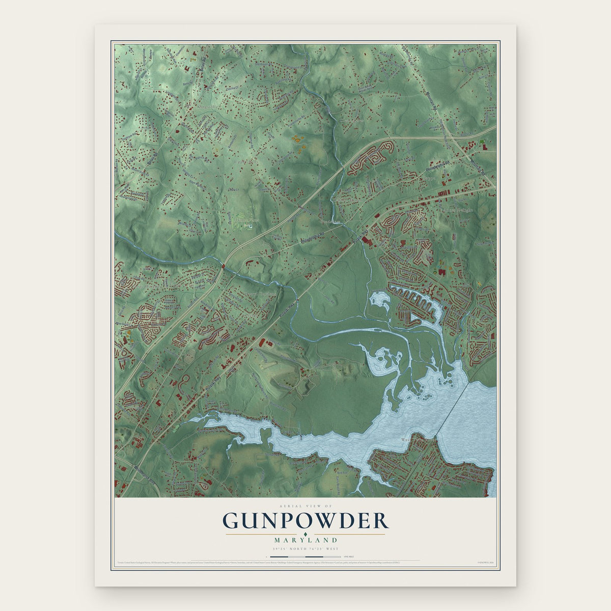
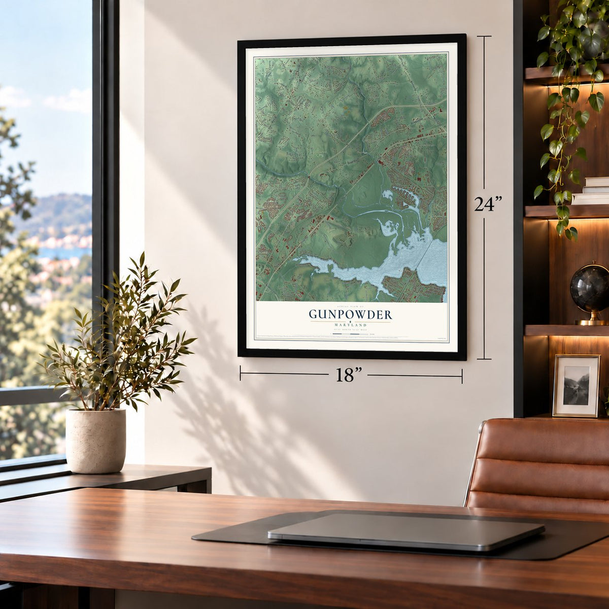
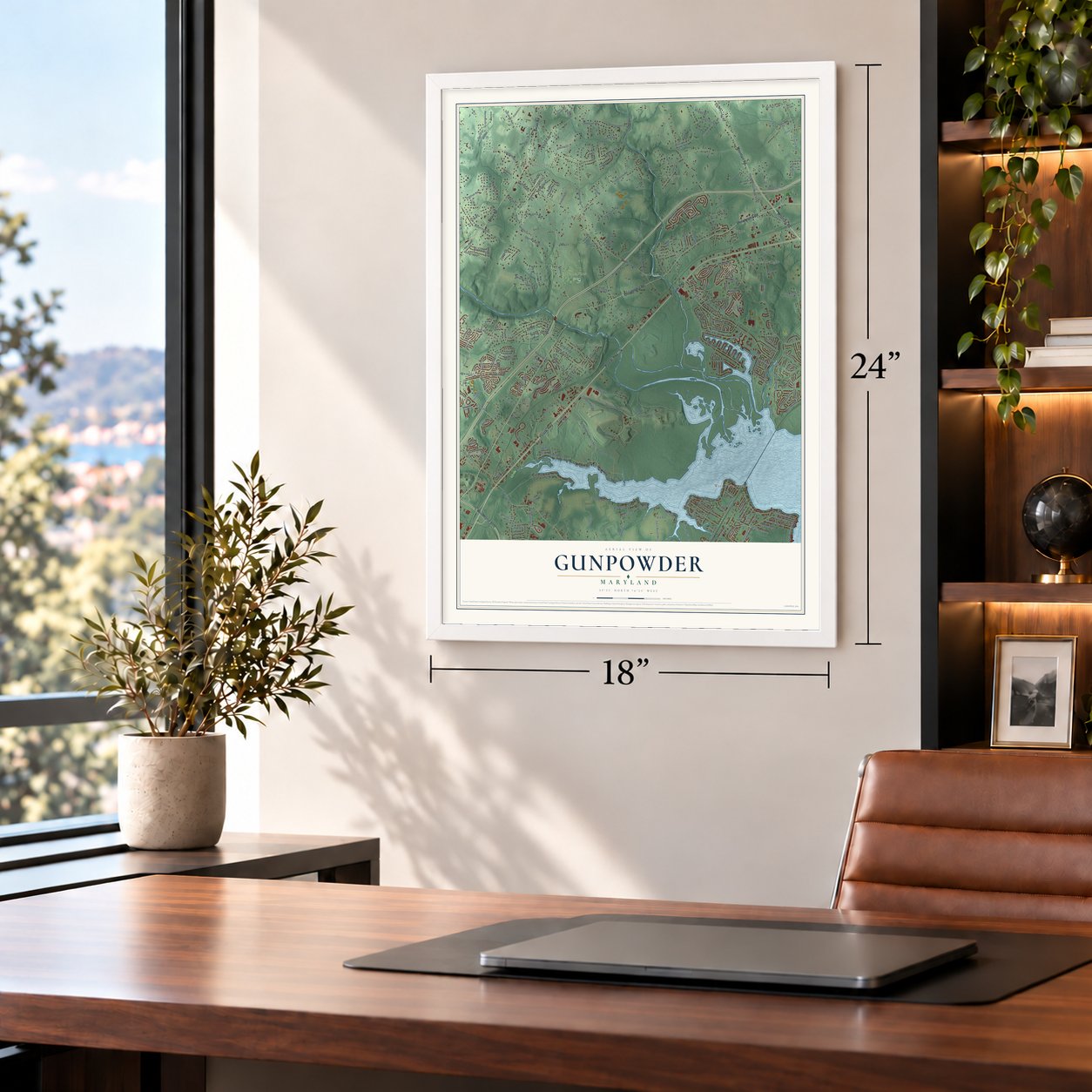
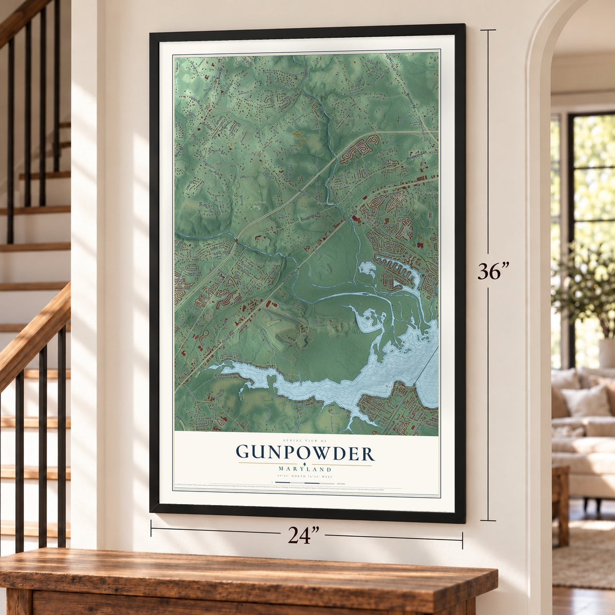
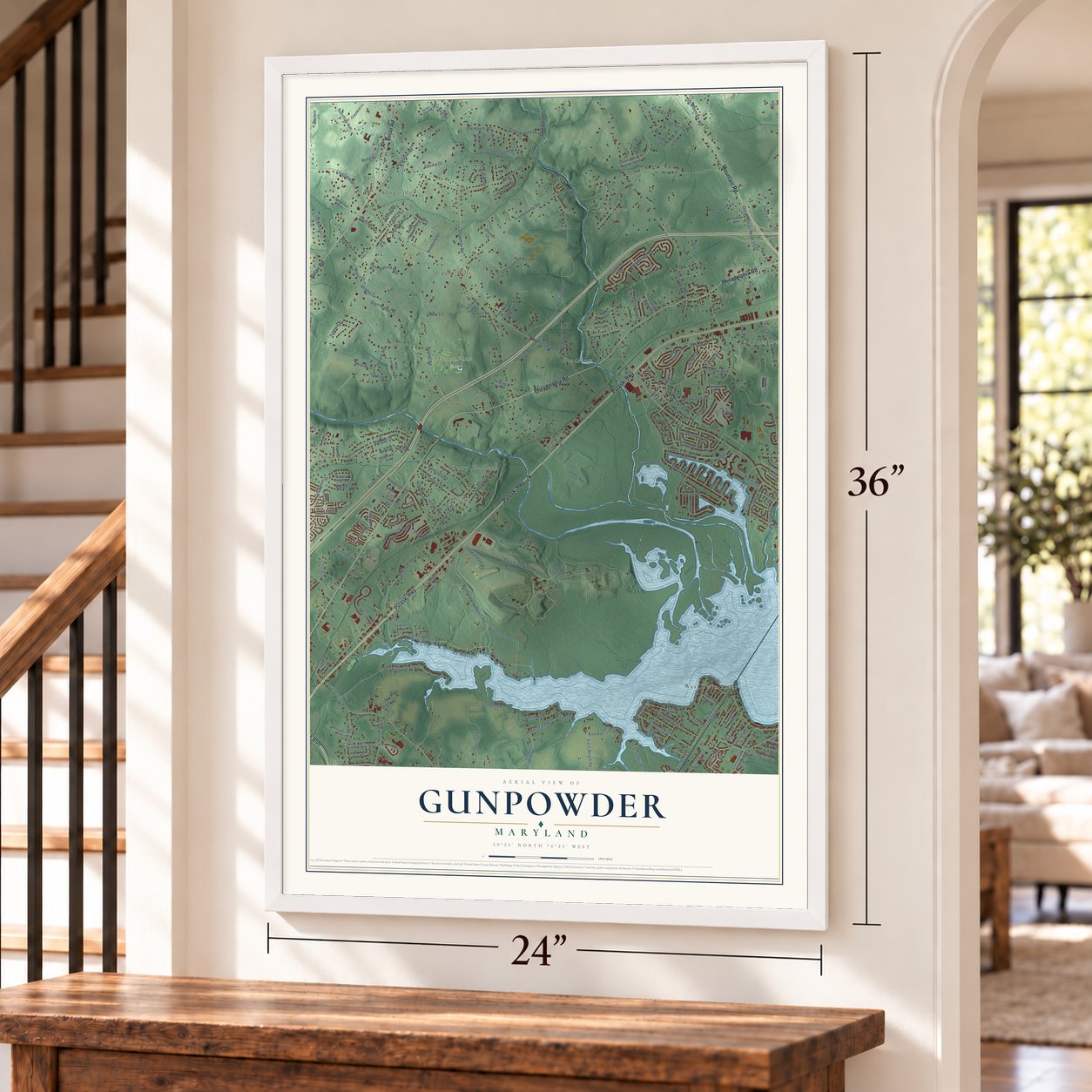
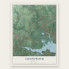
Gunpowder, Maryland Map Art
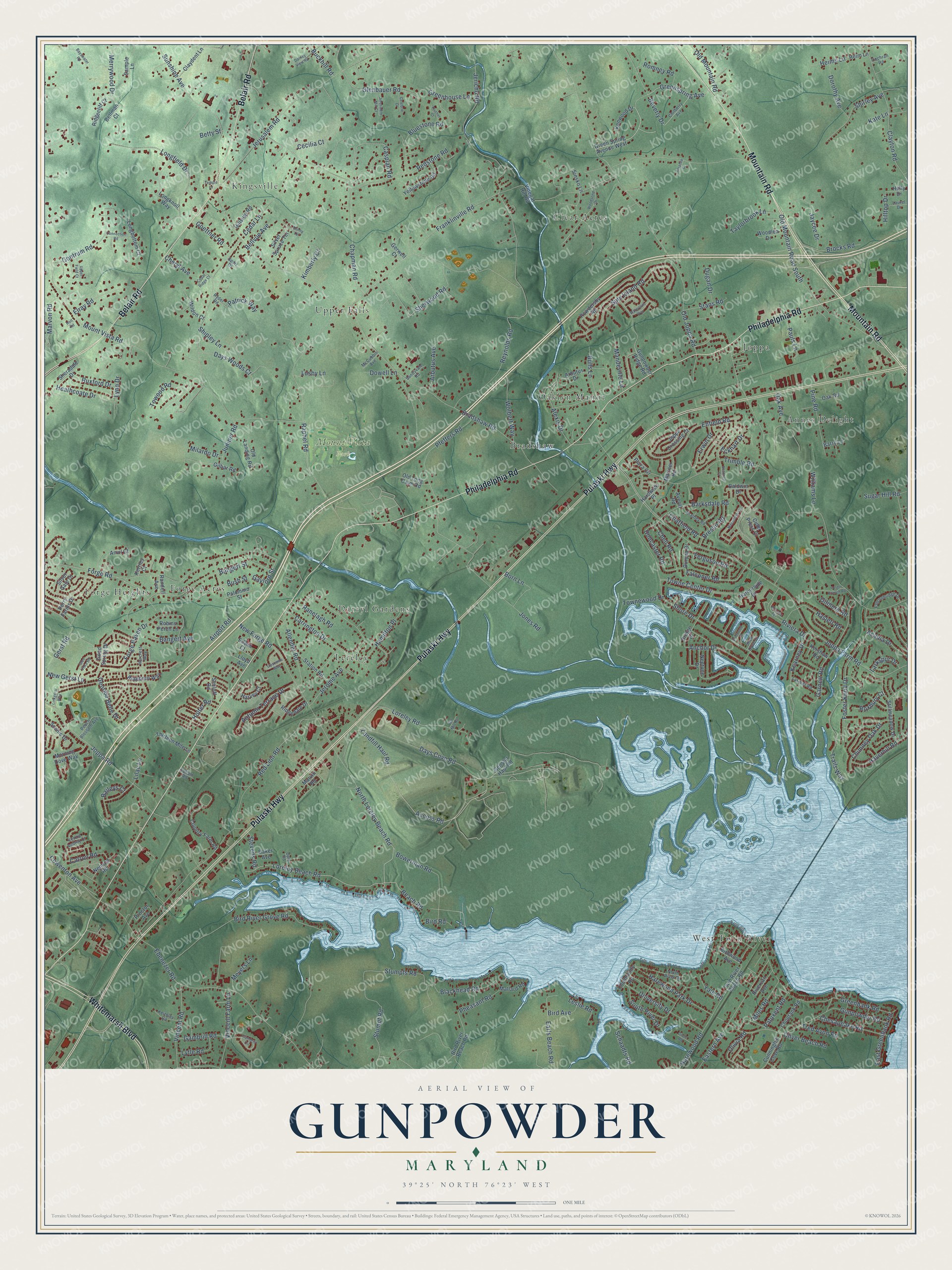
A new map of Gunpowder, Maryland, made in 2026 and printed to order on thick archival matte paper.
12" x 18" Archival Matte Print
A Map of Home. A Work of Art.
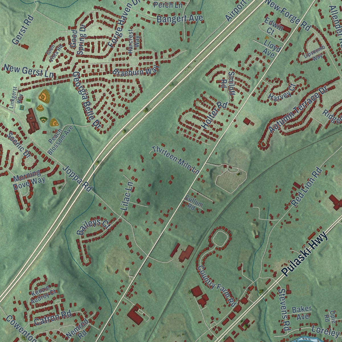
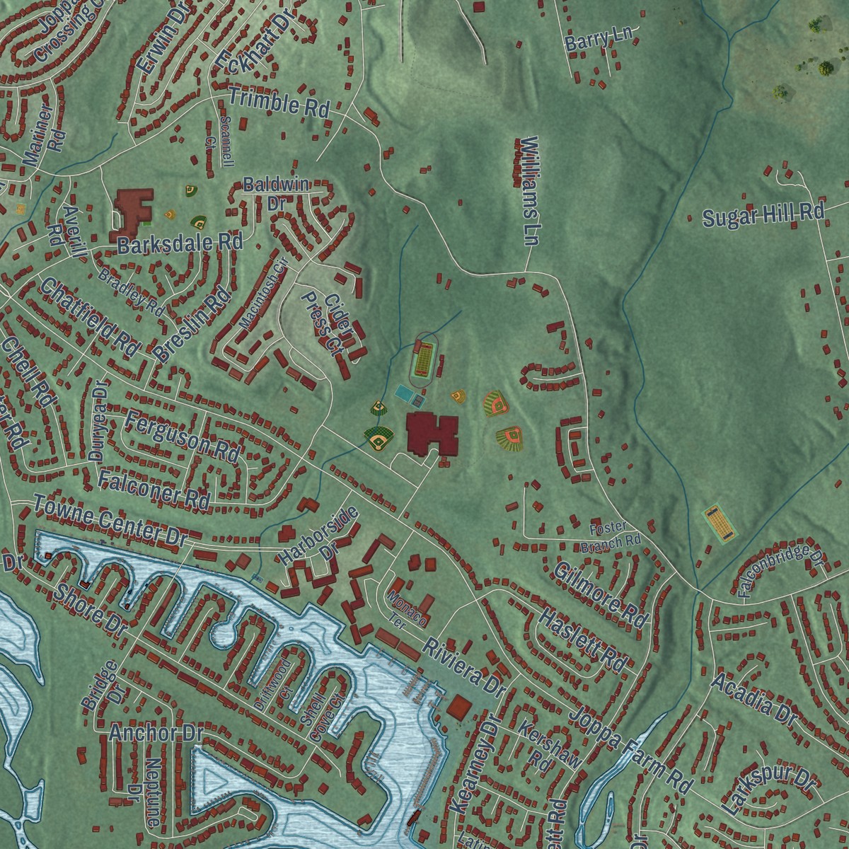
Explore Gunpowder, Maryland from a whole new perspective. Created using aerial imagery and detailed geographic data, this map captures Gunpowder building by building, with labeled streets, familiar landmarks, and shaded topographical relief that highlights the natural contours of the landscape.
Combining modern data with the timeless character of a vintage atlas, this map is just as interesting up close as it is beautiful on the wall. Whether you grew up in Gunpowder, spent memorable years there, or call it home today, this unique map is a great way to celebrate a place that means something to you. Zoom in on the preview to look for your street, and then order a print to put your memories on the wall.
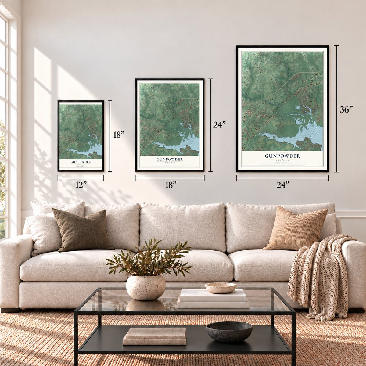
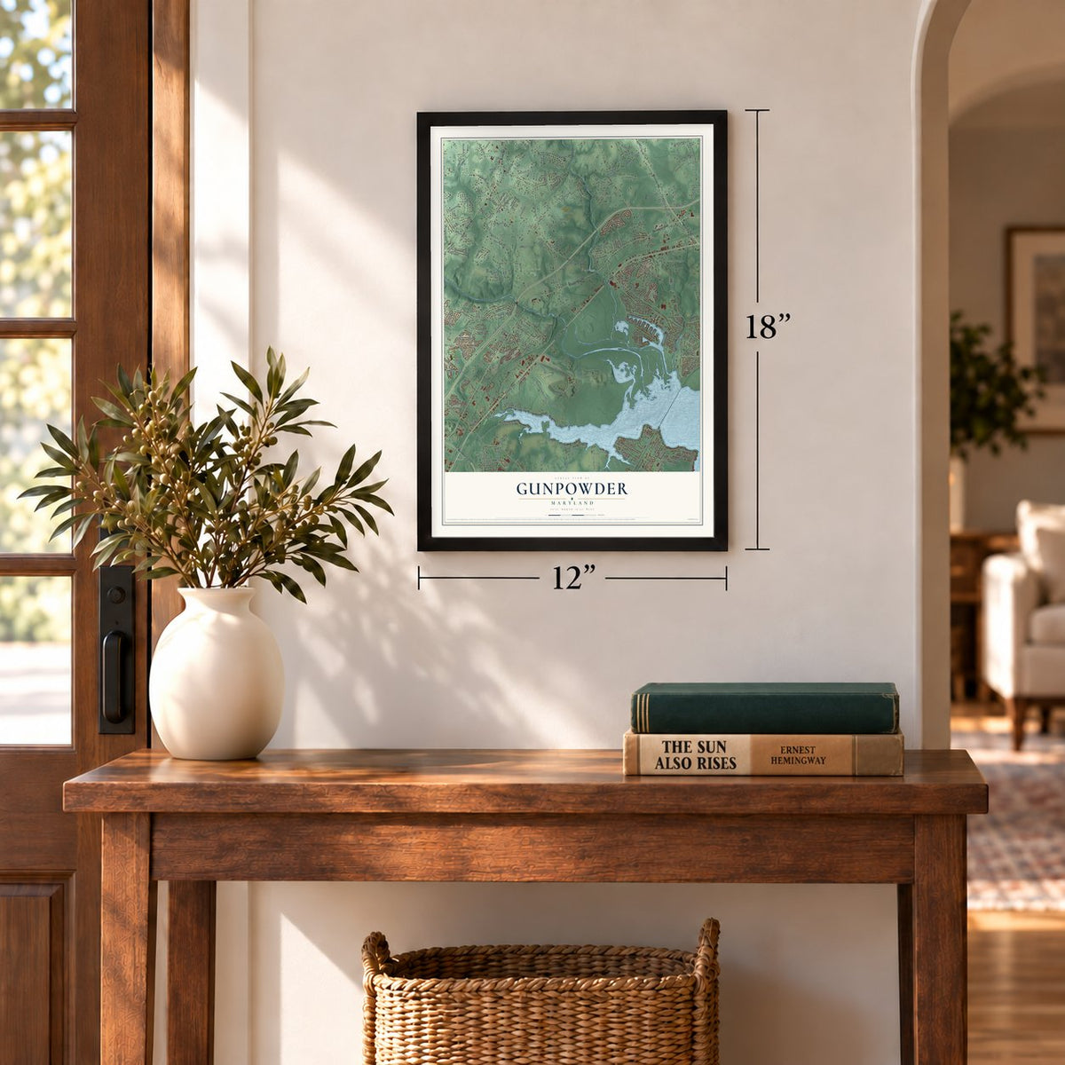
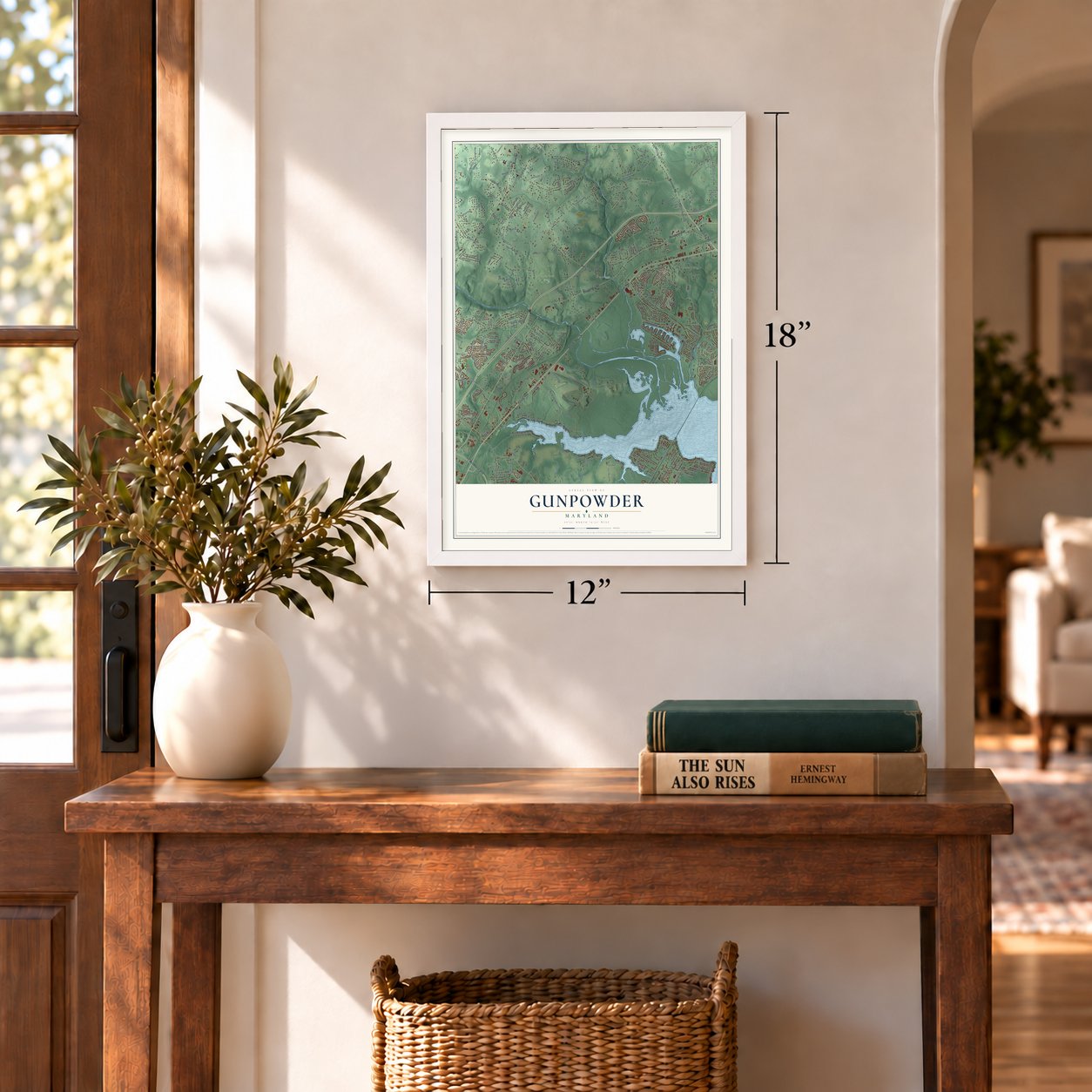
Three ways to hang it
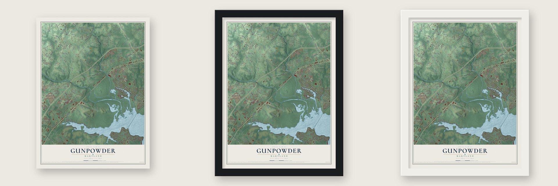
Unframed archival matte, a black wood frame or a white wood frame.
Up close
Geography Worth Displaying
This map was created using accurate cartographic data and authoritative geographic sources, including the U.S. Geological Survey and the Census Bureau. The map brings together terrain, waterways, roads, and building detail. The majority of the streets are labeled, houses are accurately depicted, and the topography is derived from government sources. Combining local data with carefully composed color and shading leads to this beautifully detailed Gunpowder artwork for your wall.
Rather than simply showing street outlines, we’ve included as many of the street names as we could reasonably fit on the map while keeping their names legible. Zoom in on the high resolution preview to see exactly what’s on the map. We truly set out to create a statement piece for anyone who loves Gunpowder. So whether it’s for you, or a gift for someone you love, we hope this map of Gunpowder brings back fond memories.
Read the story behind this map: Detailed Map of Gunpowder, Maryland.
Find your street
Names on the Gunpowder map
Every name below is printed on this map. Look for your street, your school, the park where you played, or the pond down the road.
Places and landmarks13
- Mount Vista Park
- Annes Delight
- West Twin River
- Forge Acres
- Kingsville
- Oaklyn Manor
- Clear Acres
- Upper Falls
- Bradshaw
- Lereley
- Forge Heights
- Joppa
Show all 13 places
- Darryl Gardens
Streets and roads282
- Pulaski Highway
- Mountain Road
- Philadelphia Road
- Belair Road
- Whitemarsh Boulevard
- Landfill Haul Road
- Access Road
- Joppa Farm Road
- Loreley Beach Road
- Georgia Belle Drive
- North Loreley Beach Road
- Old Mountain Road South
- Greenspring Avenue
- Gaylord Street
- Bradshaw Road
- Franklinville Road
- Trimble Road
- Old Joppa Road
- Mount Vista Road
- Cedar Lane
- Red Lion Road
- Ebenezer Road
- Joppa Road
- Forge Road
- Reynolds Road
- Allender Road
- Raphel Road
- Jerusalem Road
- Shore Drive
- Chapman Road
Show all 282 streets
- Pfeffers Road
- Beach Road
- Bird River Grove Road
- Gunpowder Road
- Jones Road
- Towne Center Drive
- Jericho Road
- New Forge Road
- Bangert Street
- Forge Haven Drive
- Greenbank Road
- Clayton Road
- Foster Knoll Drive
- Sunshine Avenue
- Falconer Road
- Spry Island Road
- Glenbauer Road
- Townewood Drive
- Days Cove Road
- Loreley Road
- Eastern Avenue
- Enfield Road
- Stumpfs Road
- Gerst Road
- Sherwood Road
- Haverhill Road
- Garnett Road
- Bowerman Road
- Redstone Road
- Oliver Beach Road
- Carrington Drive
- Harewood Road
- Cowenton Avenue
- Longfield Drive
- Bush Street
- Harewood Park Drive
- University Drive
- Trails Way
- Barksdale Road
- Gontrum Road
- Vincent Road
- Beverly Drive
- Caspian Road
- Doncaster Road
- Holter Road
- Jaycee Drive
- Vincent Farm Lane
- Alexis Drive
- Jerome Avenue
- Blackhead Road
- Shirley Avenue
- Bluestone Road
- Bangert Avenue
- Haslett Road
- Autumn Terrace Drive
- Anchor Drive
- Chesapeake Road
- Arbutus Avenue
- Pine Road
- Riviera Drive
- Merrywood Drive
- Earls Beach Road
- Chimney Oak Drive
- Bulls Lane
- Catron Road
- Stumpf Road
- East Greenbank Road
- Hamilton Place
- Days Woods Court
- Dorothy Avenue
- Heathcoate Drive
- Shipley Lane
- Bellvue Avenue
- Ferguson Road
- Kearney Drive
- Old Mountain Road
- Heims Lane
- Airport Road
- Juniper Road
- Lusby Lane
- South River Drive
- Taylorbrook Lane
- Erwin Drive
- Born Lane
- Mandeville Lane
- Romney Road
- Breslin Road
- Stevens Road
- Olivia Road
- Elray Road
- Leslie Road
- Gambrill Road
- Wolbert Way
- Goettner Road
- Chell Road
- Marvon Road
- Greenhouse Lane
- Eckhart Drive
- Schaadts Road
- Ruxford Drive
- Miles Road
- Ranelagh Road
- Baileys Court
- Pheasant Road
- Acadia Drive
- Towood Road
- Lytle Road
- Pauls Lane
- Stans Road
- Brocks Road
- New Gerst Lane
- Sugar Hill Road
- Chatfield Road
- Cecilia Court
- Patuxent Road
- Williams Lane
- Kimberly Court
- Buckhill Road
- Tred Avon Road
- Hilltop Drive
- Meyers Lane
- Larkspur Drive
- Dugan Drive
- Betty Street
- Patrick Way
- Roxbury Court
- Bird Avenue
- Oak Avenue
- Lilac Lane
- Milardo Drive
- Gilmore Road
- Dowell Lane
- Lynn Drive
- Cheryl Avenue
- Yale Road
- Bird Road
- Kate Lane
- Gilbar Road
- Green Spring Avenue West
- Braeburn Way
- Longknoll Way
- Gunpowder Ridge Road
- Country Farm Road
- Good Spring Drive
- Powdersby Road
- Neptune Drive
- Birdwood Avenue
- Stillmeadow Drive
- Old Landing Road
- Bridge Drive
- Bird River Beach Road
- Claydent Lane
- Sinsko Lane
- Sheradale Drive
- Marvin Road
- Harborside Drive
- Plaza Circle
- Perry Farms Drive
- Yellowstone Road
- Scenic Drive
- Station Road
- Kenwood Drive
- Thirteen Mile Lane
- Silver Spruce Terrace
- Cunninghill Cove Road
- Oak Road
- Anvil Court
- Old Long Calm Road
- Edwin Court
- Heim Lane
- Choptank Road
- Longbottom Court
- Morning Dove Way
- Proctor Avenue
- Ridgedale Drive
- Ridgecliff Court
- Joppa Crossing Court
- Sample Lane
- Duryea Drive
- Twin River Beach Road
- Mallard Road
- Community Road
- Cider Press Court
- Arbutus Drive
- Robins Perch Lane
- Rivervan Avenue
- Smiloff Road
- Woodlea Drive
- Hillside Road
- Genstar Haul Road
- Kershaw Road
- Harvey Court
- Palomino Street
- Mariner Road
- Nemrod Road
- Averill Road
- Hardwick Place
- Silver Gate Court
- Baldwin Drive
- Wildon Court
- Barry Lane
- Vinegar Hill Road
- Bellman Court
- Lloyd Avenue
- Kerries Court
- Baker Avenue
- Gerwell Court
- Randell Avenue
- Holly Drive
- Peach Blossom Avenue
- North River Drive
- Chilberry Avenue
- Harcrest Way
- Falconbridge Drive
- Bradley Road
- Latimer Road
- Keithley Road
- Kenzie Audrey Court
- Opie Road
- Sandyvale Road
- McCubbin Avenue
- Laurel Drive
- Ryder Road
- Cochran Road
- Shell Cove Court
- Cullum Road
- Sparr Drive
- Macintosh Circle
- Woodsend Drive
- Gambrill Circle
- Darney View Road
- Bayswater Road
- Connection Road
- Jerusalem Mill Court
- Monaco Terrace
- Foster Branch Road
- Upper Field Court
- Watertons Way
- Donny Terrace
- Fischer Court
- Celebrie Court
- Cedar Ridge Court
- Glen Vista Road
- Scannell Court
- Circle Road
- Lipscomb Way
- Temple Lane
- Linkgerst Way
- Driftwood Court
- Amadee Drive
- Gin Mill Road
- Holt Road
Names are listed as they appear on the printed map. Zoom into the product photos to find them.
The art of mapping a place
How This Map Was Made
Real places. Remarkable detail. Discover the layers that turn geographic data into a map of home.

The view from above
Aerial imagery reveals the character of the land: woodland, open fields, and the patterns of a place.

The shape of the land
Elevation data brings hills, valleys, and subtle changes in the landscape into view.

The details of home
Roads, waterways, and building footprints come together to make the map feel unmistakably local.

Geography becomes art
Considered color, shading, and typography bring the layers together in a map made for your wall.


Process illustrated with Mendon, Massachusetts. Aerial imagery: USDA NAIP. Terrain: USGS 3D Elevation Program. Map details and finished artwork: KNOWOL.
The Details
About This Print
Choose an archival matte print, or a black or white Ayous wood frame. The archival matte print is unframed.
Select your size and finish above to see the matching product image and price.
Materials & Craftsmanship
A contemporary map with the character of a classic atlas, printed on archival matte paper. Optional frames are made from Ayous wood.
Your printed map does not include the watermark shown in the full-map preview.
Shipping & Delivery
Free shipping within the United States. Every print is made to order in the USA.
Buying a gift? Add a note in your cart and we'll include it. We never put prices in the package.
Prints ship within 2 to 3 business days. Allow 7 to 10 days total from ordering for delivery. Timing may vary during holidays or periods of high order volume.
Read our shipping policy.
Returns and damaged prints
Each print is made to order. Change-of-mind refunds are not available after production.
If your print arrives damaged, misprinted or incorrect, contact support@knowol.com within 30 days of receiving it. Include your order number, photos and a description of the issue.
Read our full refund and replacement policy. For questions about your order, email support@knowol.com.
Find your town
Looking for another city?
Find a map of home in our Maryland collection, or any town in the country.
Nearby
Maps of towns near Gunpowder
Know someone from one of these towns? Their map makes a great gift.
 Joppatowne
, Maryland
From $39.99See the map
 Honeygo
, Maryland
From $39.99See the map
 Kingsville
, Maryland
From $39.99See the map
More maps nearby: White Marsh, Oliver Beach, Perry Hall, Pleasant Hills and Chase.