
Search for another town


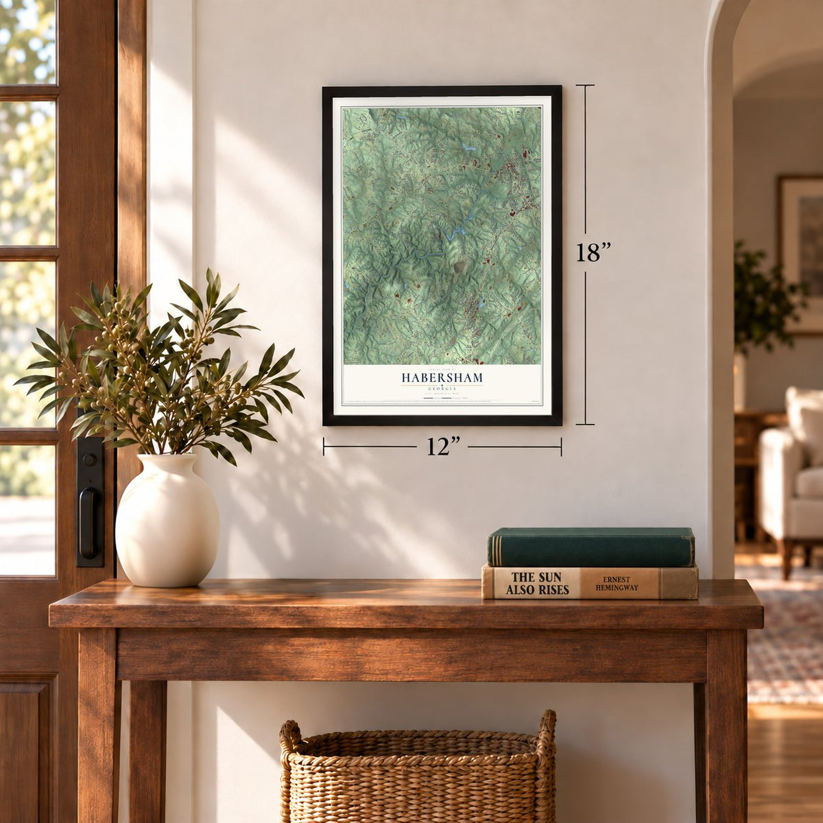
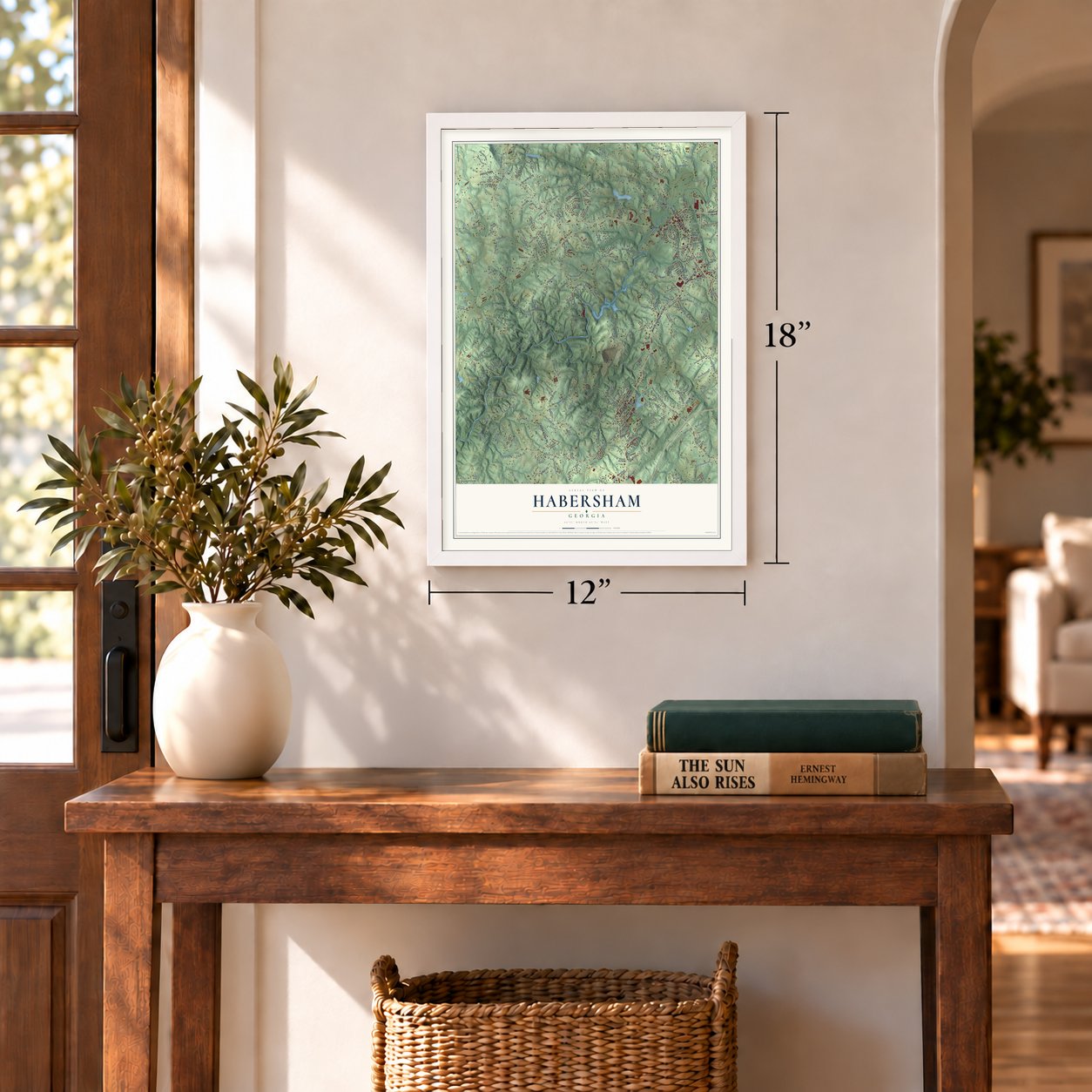

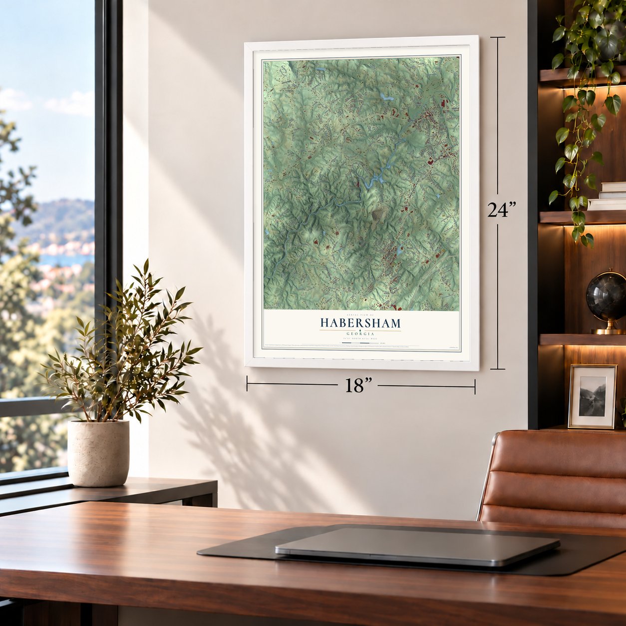

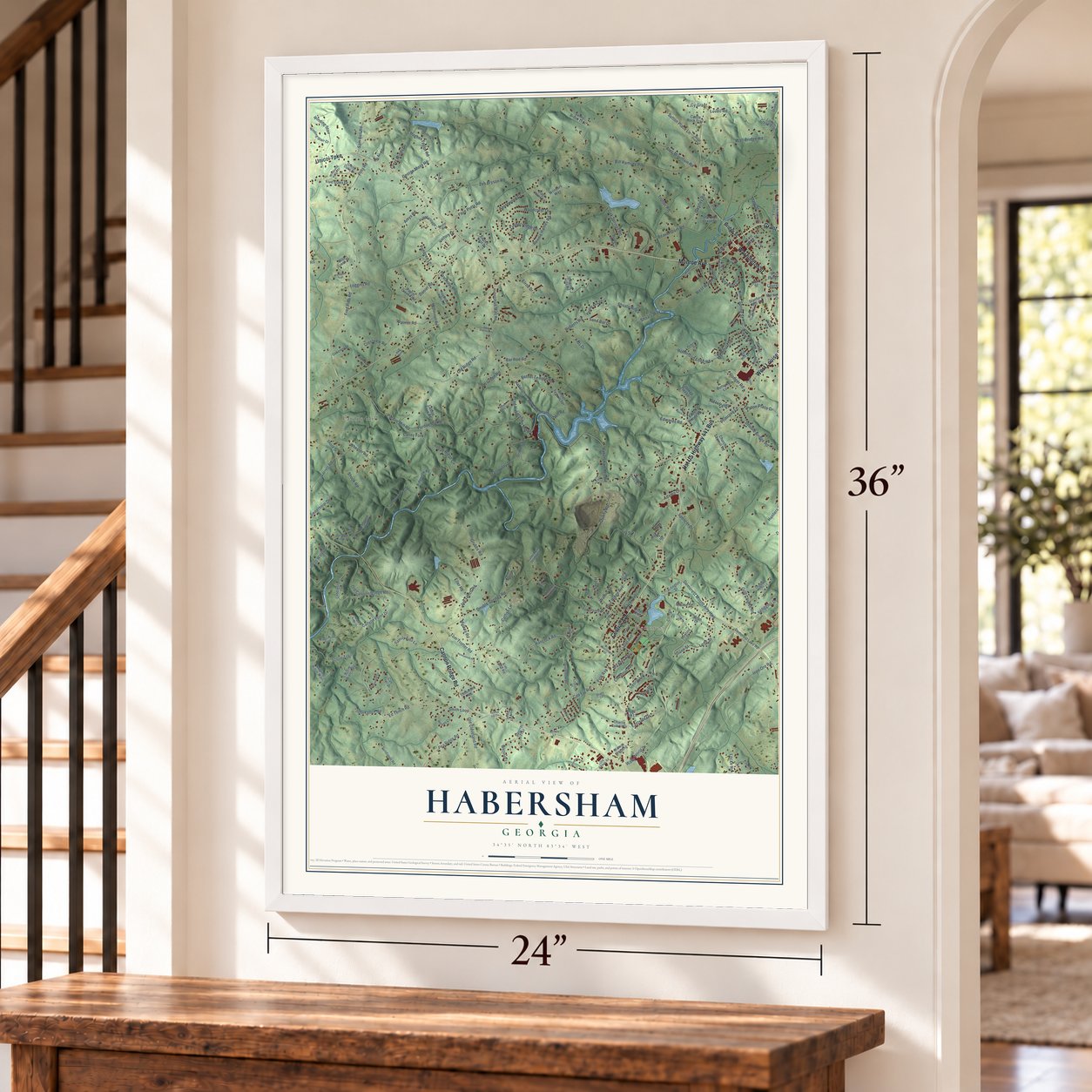
Free U.S. delivery 7 to 10 days after you order
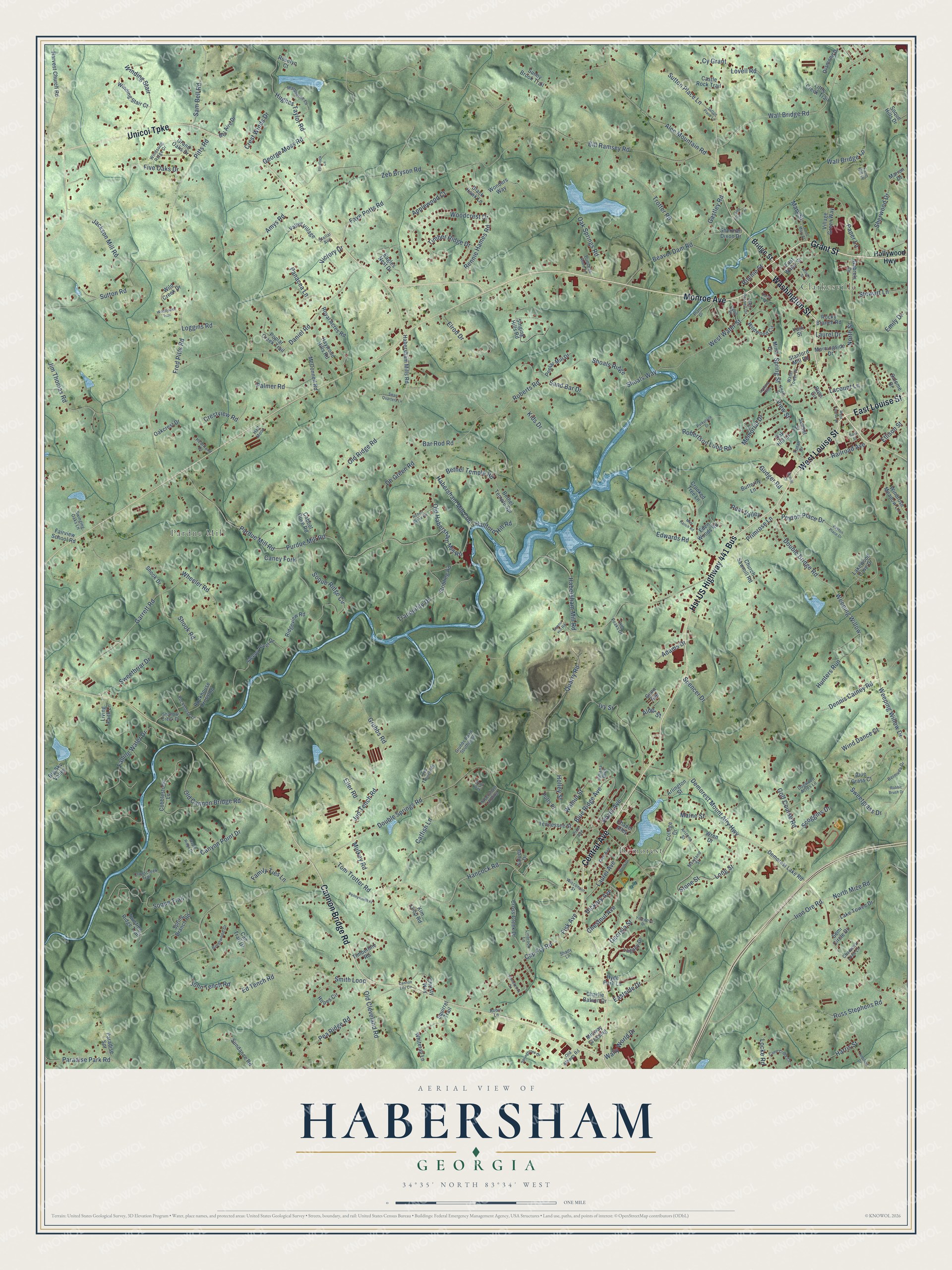
Habersham, Georgia Map Art
Building by building, with labeled streets and shaded relief.
12" x 18" Archival Matte Print
A Map of Home. A Work of Art.
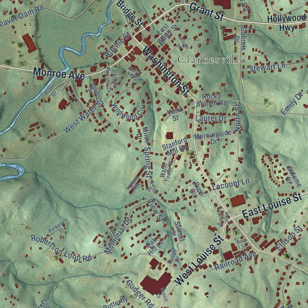
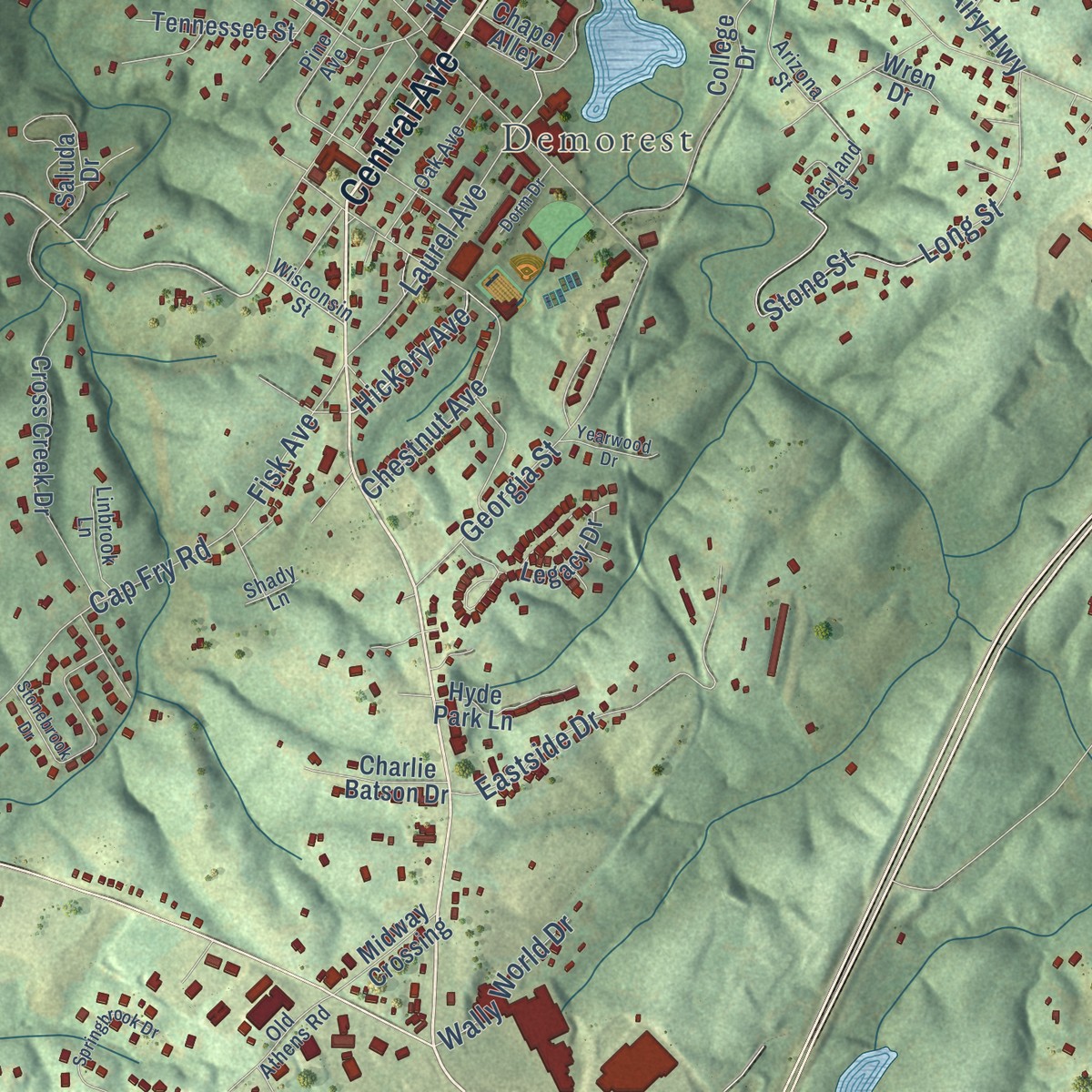
Explore Habersham, Georgia from a whole new perspective. Created using aerial imagery and detailed geographic data, this map captures Habersham building by building, with labeled streets, familiar landmarks, and shaded topographical relief that highlights the natural contours of the landscape.
Combining modern data with the timeless character of a vintage atlas, this map is just as interesting up close as it is beautiful on the wall. Whether you grew up in Habersham, spent memorable years there, or call it home today, this unique map is a great way to celebrate a place that means something to you. Zoom in on the preview to look for your street, and then order a print to put your memories on the wall.
Three ways to hang it
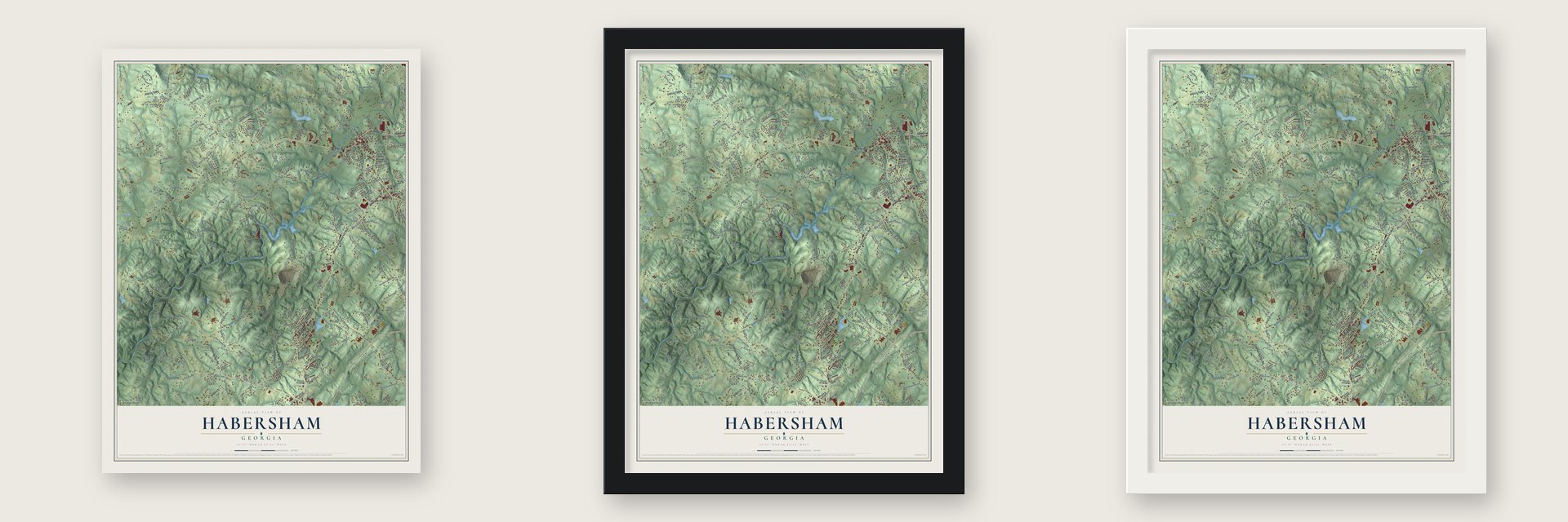
Unframed archival matte, a black wood frame or a white wood frame.
Up close
Geography Worth Displaying
This map was created using accurate cartographic data and authoritative geographic sources, including the U.S. Geological Survey and the Census Bureau. The map brings together terrain, waterways, roads, and building detail. The majority of the streets are labeled, houses are accurately depicted, and the topography is derived from government sources. Combining local data with carefully composed color and shading leads to this beautifully detailed Habersham artwork for your wall.
Rather than simply showing street outlines, we’ve included as many of the street names as we could reasonably fit on the map while keeping their names legible. Zoom in on the high resolution preview to see exactly what’s on the map. We truly set out to create a statement piece for anyone who loves Habersham. So whether it’s for you, or a gift for someone you love, we hope this map of Habersham brings back fond memories.
Read the story behind this map: Detailed Map of Habersham, Georgia.
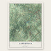
Find your street
Names on the Habersham map
Every name below is printed on this map. Look for your street, your school, the park where you played, or the pond down the road.
Places and landmarks3
- Clarkesville
- Demorest
- Pardue Mill
Streets and roads287
- Washington Street
- Grant Street
- East Louise Street
- Hst US Highway 441 Bus
- Central Avenue
- Cannon Bridge Road
- Unicoi Turnpike
- West Louise Street
- Monroe Avenue
- Hancock Road
- Demorest Mount Airy Highway
- Hickory Avenue
- Double Springs Road
- George Moss Road
- Wall Bridge Road
- Catfish Lane
- Double Bridge Road
- Mulkey Road
- Habersham Mill Con
- Zeb Bryson Road
- Smith Loop
- Fred Pitts Road
- Pardue Mill Road
- Purdue Mill Road
- Bill Ramsey Road
- Robertson Loop Road
- Daniel Road
- Habersham Mill Road
- Soque Ridge Circle
- Wall Bridge Lp
Show all 287 streets
- Roberts Road
- Sweetgrass Drive
- Georgia Street
- Falling Water Drive
- Iron Ore Road
- Wheeler Road
- Sutton Road
- Garrett Road
- Alec Mountain Road
- Jim Thomas Road
- Weeping Willow Drive
- Weeping Willow
- Beaver Dam Road
- West Water Street
- Bethel Temple Road
- Soque Trail
- Golf Course Road
- Ivy Street
- Rennie Hames Road
- Pea Ridge Road
- Amys Road
- Hazel Avenue
- Long Street
- Trotter Road
- Cap Fry Road
- Hughes Taylor Road
- Russ Stephens Road
- Old Cannon Bridge Road
- Maine Street
- Blue Ridge Avenue
- Jud Tench Road
- Faye Potts Road
- Old Ridge Road
- North Mize Road
- Grubbs Road
- Eastside Drive
- Winding Stair
- Holley Street
- Old Habersham Mill Road
- Woodcrest Drive
- Spring Street
- Canyon Point Drive
- Jackson Mill Road
- Quarry Road
- Oak Springs Road
- Old Cleveland Road
- Bar Rod Road
- Sweetbriar Drive
- Paradise Park Road
- Stone Street
- Sam Bell Road
- Sherwood Drive
- Laurel Avenue
- Elrod Drive
- Edwards Road
- Railroad Avenue
- Ed Tench Road
- Harris Street
- Crestview Road
- Dennis Catney Road
- Peyton Place Drive
- Memorial Drive
- Gastley Road
- Shook Road
- Loggins Road
- Applewood Court
- Hunters Run
- Chestnut Avenue
- Timber Ridge Drive
- Tom Trotter Road
- Palmer Road
- Wind Dance Court
- Spencer Drive
- John Tench Road
- Stewart Lane
- Lovell Road
- Shoals Way
- Eller Road
- Dh Green Road
- North Street
- Sand Bar Drive
- Hallford Hill Road
- Tranquility Drive
- Five Oaks Drive
- Ellison Street
- Primrose Lane
- Shoals Ridge
- Gudger Road
- Pitts Road
- Sutton Place Lane
- Fisk Avenue
- Wally World Drive
- Crest Winds Drive
- Kids Drive
- Scoggins Drive
- Family Ties Lane
- View Street
- Paper Lane
- Walnut Street
- Locke Road
- Lacount Lane
- Mary Street
- Victory Drive
- Pear Valley
- Laurel Drive
- Panacea Lane
- Caney Fork
- Adams Drive
- Cy Grant
- Ritchie Street
- Emily Drive
- Alder Street
- Hollywood Highway
- Bridge Street
- Demorest Lake Road
- Stribling Road
- Valley Village
- Kim Loop Road
- East Water Street
- Singing Hills Road
- Church Sawmill Road
- Harvest Church Road
- Eagles Nest Drive
- Lakewood Cove Drive
- Haywood Hills Road
- Cobblestone Lane
- Cross Creek Drive
- Sleepy River Drive
- Wildwood Circle
- Rocky Branch Road
- Bethel Temple Spr
- Twisting Ridge Trail
- College Drive
- Windrose Meadow Lane
- Gabrels Drive
- Legacy Drive
- Hopes Circle
- McConnell Road
- Whitetail Lane
- Sherman Dixon Drive
- Habersham Mills Road
- Timberline Road
- Ridgeview Road
- Semi Circle Drive
- Stanford Mill Road
- Poplar Mill Drive
- Village Green Way
- Poplar Creek Trail
- Arlington Street
- Sundance Road
- Wonders Way
- Grand Oaks Drive
- Winding Stair Court
- Squirrel Trail
- Salome Drive
- Lake Towee Drive
- Royal Acres Road
- Castle Rock Trail
- Rockhouse Crossing
- Wild Creek Drive
- Crooked Tree Lane
- Tennessee Street
- Eden Woods Road
- Butterfly Lane
- Morningside Drive
- Sunny Brook Trail
- Hyde Park Lane
- Spring Branch Road
- Charlie Batson Drive
- Russ Circle
- Diamond Drive
- Fairview School Road
- Sunset Street
- Little Creek Trail
- Shook Drive
- Can Trail Drive
- Midway Crossing
- Blue Grass Court
- Cabbot Cove Road
- Paradise Spr
- Oakcrest Drive
- Black Hawk Lane
- Christy Way
- Bel Aire Drive
- Marion Drive
- Living Faith Lane
- Big Sky Valley
- Saluda Drive
- Chapel Alley
- Minis Drive
- Roselyn Court
- Oak Hill Lane
- Gunn Avenue
- Putts Place
- Soque Hills Drive
- Wren Drive
- York Street
- Maryland Street
- Wisconsin Street
- Windsong Ridge Drive
- Shallow Creek Drive
- Crosscreek Trail
- Marquerite Lane
- Brentwood Drive
- Oak Avenue
- Jud Trench Road
- Dogwood Acres Lane
- Rockhouse Lane
- Old Athens Road
- Arizona Street
- Heartland Drive
- Pine Avenue
- Water Tower Place
- Farm Hill Drive
- Stellar Avenue
- Davis Place
- Grubbs Road Southwest
- Bermuda Drive
- Linbrook Lane
- Habersham Landing
- Princess Anne Lane
- Swinging Oaks Lane
- Plant Drive
- Chadwick Loop Lane
- Allen Russell Drive
- Half Moon
- Twin Peaks Drive
- Indiana Boulevard
- Yonah Drive
- Robin Lane
- Shady Lane
- Camp Creek Circle
- Stonebrook Drive
- Pennyworth Place
- Swain Drive
- Springbrook Drive
- Lunsford Drive
- Parkplace Drive
- Leyland Hills
- Wildflower Trail
- Scovill Drive
- Swan Quarters Lane
- Yearwood Drive
- Robert Burke Road
- Wilson Street
- Flintlock Lane
- Cannon Lily Circle
- Dorm Drive
- Maple Ridge Drive
- Mini Ranch Road
- Gate House Drive
- Saint Mary Street
- Rabbit Brush Drive
- Armour Hill Road
- Daisy Drive
- Bass Street
- Rubil Way
Names are listed as they appear on the printed map. Zoom into the product photos to find them.
About Habersham, Georgia
The village was named for Colonel Joseph Habersham, a Continental Army officer in the Revolution. Jarvis Van Buren arrived in 1838 to run its new iron works. He was a cousin of President Martin Van Buren. The mill closed after a few years, then reopened in the Civil War to make guns and cannon.
In 1906, Atlanta investors bought two woolen mills here and gave the village new life. S. Y. Stribling led the early work of Habersham Mills. The mill switched to cotton and spun fine yarn for fabric and lace makers. Russell Corporation bought it in 1977 and closed it in 1999.
Keep exploring Georgia
Habersham is one of 1,042 Georgia towns we've mapped. Every dot on the map is a print of its own.
The search covers every state, Georgia first.
Near Habersham
Order 2 or more town maps and save 10%. Shown in the size and finish you picked above, so they hang as a set.
- Demorest 12" x 18" / Archival Matte Print $39.99
- Clarkesville 12" x 18" / Archival Matte Print $39.99
- Fairview 12" x 18" / Archival Matte Print $39.99
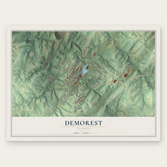
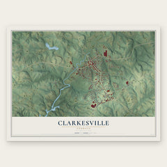

More maps nearby: Cornelia, Mount Airy, Baldwin, Mossy Creek and Alto.
The art of mapping a place
How This Map Was Made
Real places. Remarkable detail. Discover the layers that turn geographic data into a map of home.

The view from above
Aerial imagery reveals the character of the land: woodland, open fields, and the patterns of a place.

The shape of the land
Elevation data brings hills, valleys, and subtle changes in the landscape into view.

The details of home
Roads, waterways, and building footprints come together to make the map feel unmistakably local.

Geography becomes art
Considered color, shading, and typography bring the layers together in a map made for your wall.


Process illustrated with Mendon, Massachusetts. Aerial imagery: USDA NAIP. Terrain: USGS 3D Elevation Program. Map details and finished artwork: KNOWOL.
The Details
About This Print
Choose an archival matte print, or a black or white Ayous wood frame. The archival matte print is unframed.
Select your size and finish above to see the matching product image and price.
Materials & Craftsmanship
A contemporary map with the character of a classic atlas, printed on archival matte paper. Optional frames are made from Ayous wood.
Your printed map does not include the watermark shown in the full-map preview.
Shipping & Delivery
Free shipping within the United States. Every print is made to order in the USA.
Buying a gift? Add a note in your cart and we'll include it. We never put prices in the package.
Prints ship within 2 to 3 business days. Allow 7 to 10 days total from ordering for delivery. Timing may vary during holidays or periods of high order volume.
Read our shipping policy.
Returns and damaged prints
Each print is made to order. Change-of-mind refunds are not available after production.
If your print arrives damaged, misprinted or incorrect, contact support@knowol.com within 30 days of receiving it. Include your order number, photos and a description of the issue.
Read our full refund and replacement policy. For questions about your order, email support@knowol.com.