
Search for another town


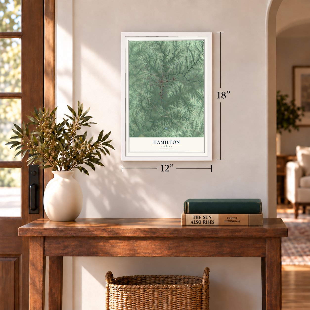

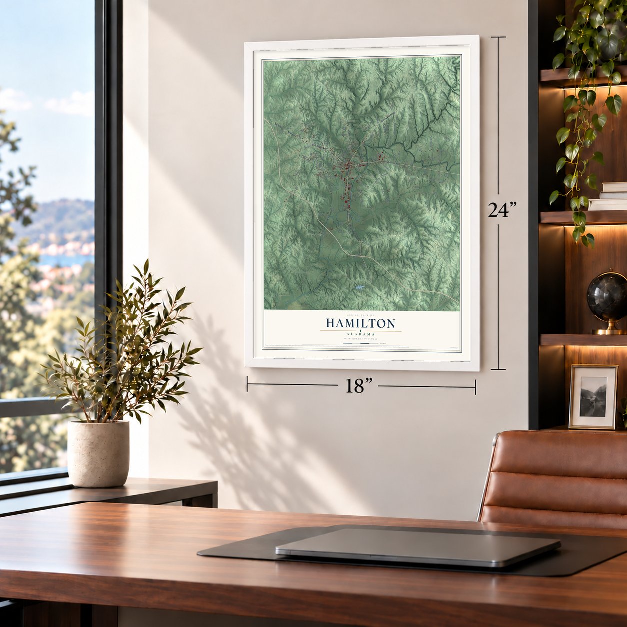

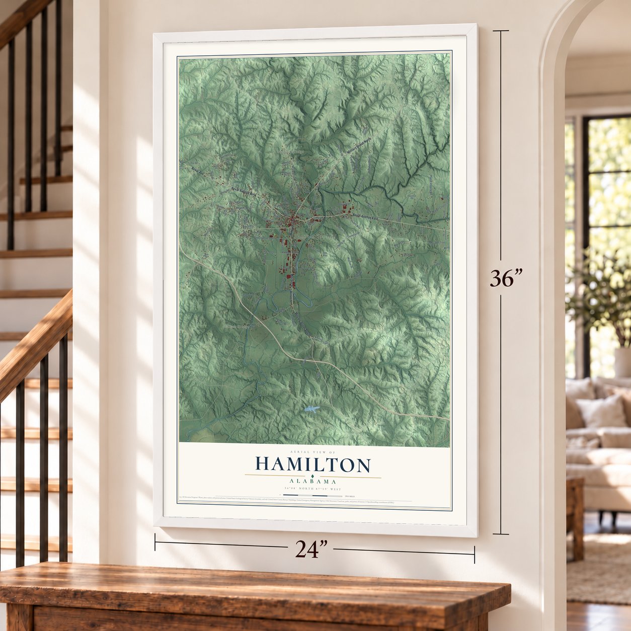
Free U.S. delivery 7 to 10 days after you order
Hamilton, Alabama Map Art
A new map of Hamilton, Alabama, made in 2026 and printed to order on thick archival matte paper.
12" x 18" Archival Matte Print
A Map of Home. A Work of Art.
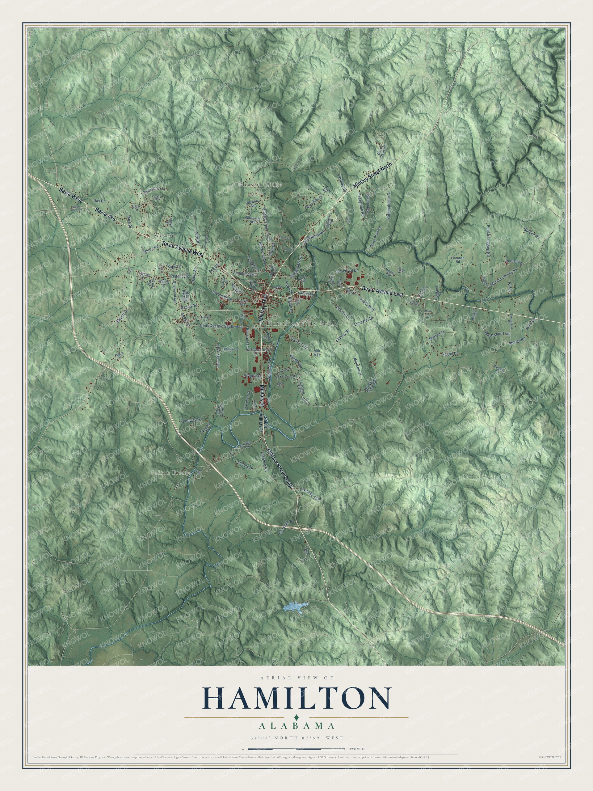
Explore Hamilton, Alabama from a whole new perspective. Created using aerial imagery and detailed geographic data, this map captures Hamilton building by building, with labeled streets, familiar landmarks, and shaded topographical relief that highlights the natural contours of the landscape.
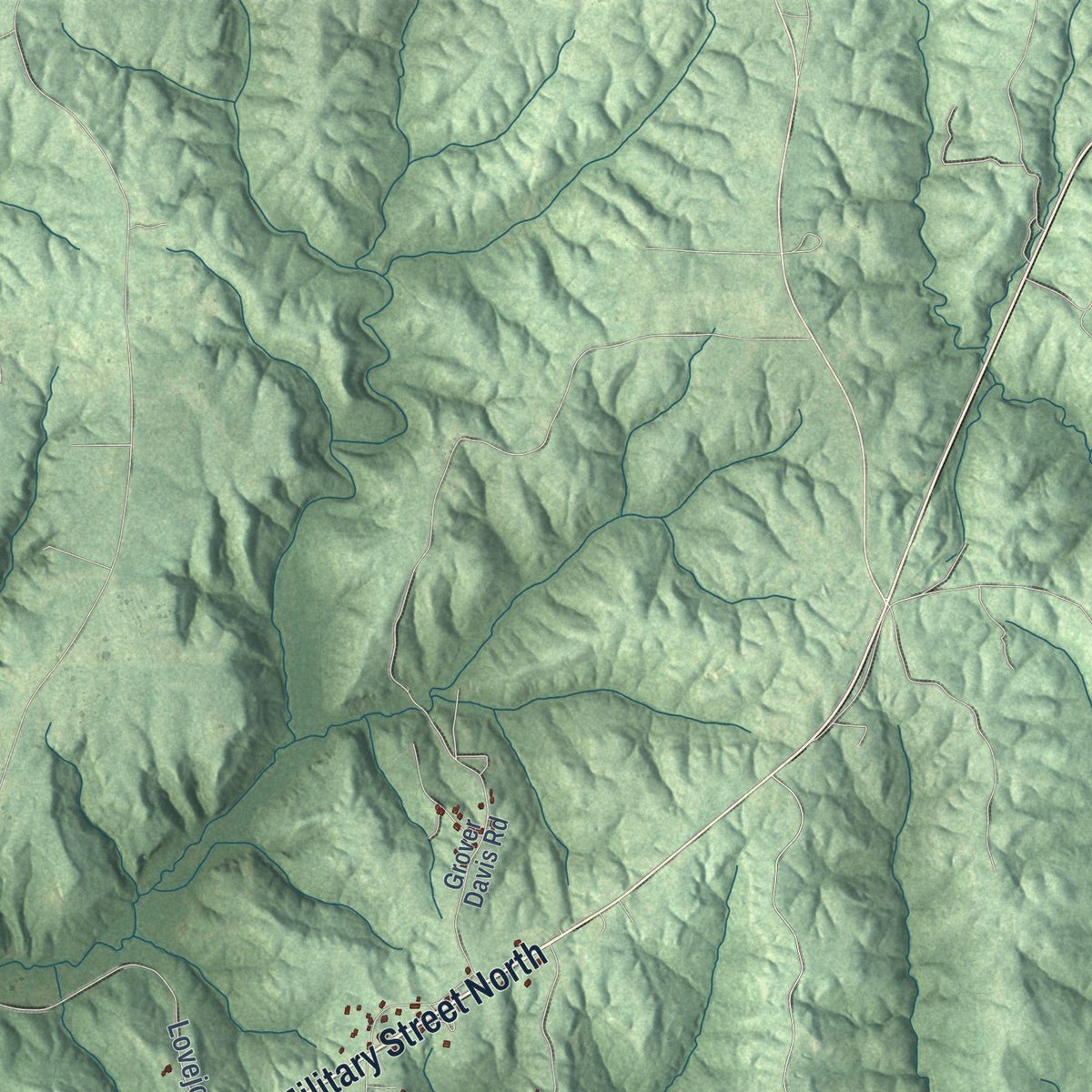
Combining modern data with the timeless character of a vintage atlas, this map is just as interesting up close as it is beautiful on the wall. Whether you grew up in Hamilton, spent memorable years there, or call it home today, this unique map is a great way to celebrate a place that means something to you. Zoom in on the preview to look for your street, and then order a print to put your memories on the wall.
Three ways to hang it
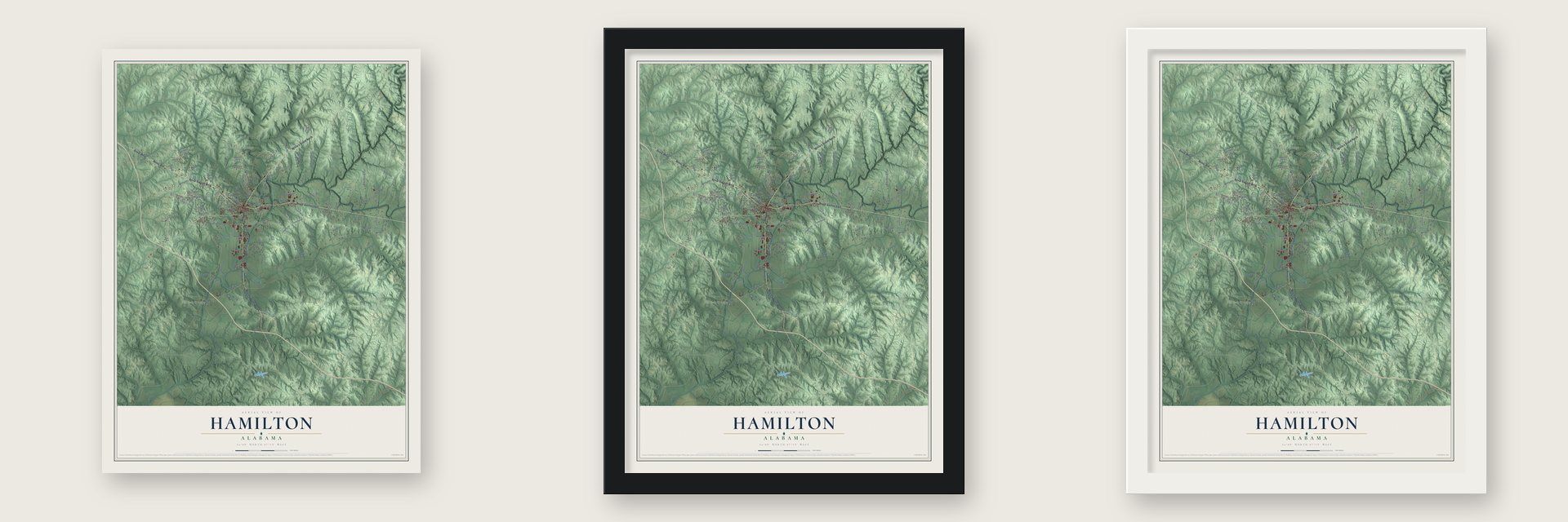
Unframed archival matte, a black wood frame or a white wood frame.
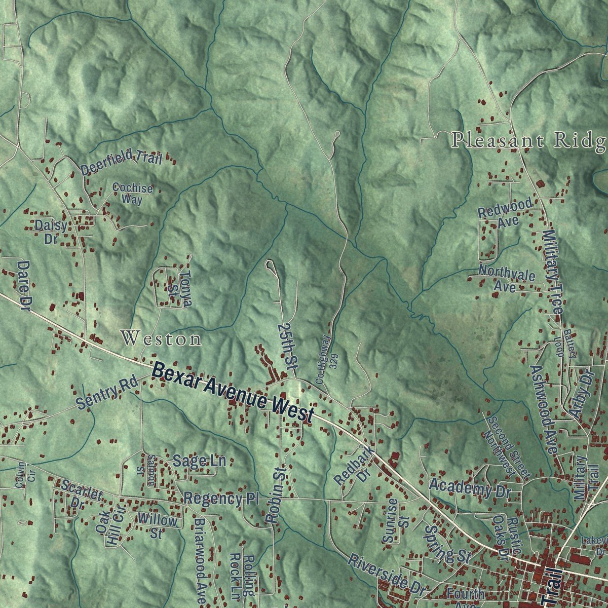
Up close
Geography Worth Displaying
This map was created using accurate cartographic data and authoritative geographic sources, including the U.S. Geological Survey and the Census Bureau. The map brings together terrain, waterways, roads, and building detail. The majority of the streets are labeled, houses are accurately depicted, and the topography is derived from government sources. Combining local data with carefully composed color and shading leads to this beautifully detailed Hamilton artwork for your wall.
Rather than simply showing street outlines, we’ve included as many of the street names as we could reasonably fit on the map while keeping their names legible. Zoom in on the high resolution preview to see exactly what’s on the map. We truly set out to create a statement piece for anyone who loves Hamilton. So whether it’s for you, or a gift for someone you love, we hope this map of Hamilton brings back fond memories.
Read the story behind this map of Hamilton, Alabama from 2026.

About Hamilton, Alabama
Hamilton is a city of 7,042 people near the Mississippi line, set in the Buttahatchee River valley, and it serves as the seat of Marion County. The land was Chickasaw country before white settlers arrived, and the first town here was called Toll Gate. In 1821 the Alabama Legislature placed the state's first toll gate at this spot to pay for upkeep on Andrew Jackson's Military Road, which crews built from 1816 to 1820 as a route between Nashville and New Orleans.
Stagecoaches on the road stopped to rest at the toll house. In 1880 Toll Gate was picked as the new county seat, and when the seat moved over from Pikeville in 1882, the town was renamed for Capt. A. J. Hamilton. Hamilton incorporated in 1896, and since 1980 it has been the largest city in Marion County.
- Named for Capt. HamiltonAlbert James Hamilton sat in the state legislature for Marion County in 1869, 1874 and 1875. He gave 40 acres of his own land to start the new county seat. That ground was cut into lots and sold, and the money helped cover the cost of building the courthouse.
- Courthouses lost to fireThe first courthouse, a wooden building from 1882, burned in April 1887. Its replacement was also wooden, and in 1902 the county built the courthouse that still serves today, since renovated and enlarged. The second courthouse was moved across the street and turned into a hotel, which burned in 1912.
- Wilson's Cavalry rides throughDuring the Civil War, Union troops passed through Toll Gate looking for goods and horses. A detachment of Wilson's Cavalry burned the Helvingston family's plantation on the Military Ford, south of town.
- A festival for a folk potterEvery March, Hamilton holds the Jerry Brown Arts Festival, named for the renowned folk potter. The Northwest Alabama Arts Council sponsors its juried show. Each October the Buttahatchee River Fall Fest brings living-history events to the Hamilton-Sullins House, which dates to about the 1880s.
Find your street
Names on the Hamilton map
Every name below is printed on this map. Look for your street, your school, the park where you played, or the pond down the road.
Places and landmarks4
- Hamilton City Hall
- Weston
- Pleasant Ridge
- Fulton Bridge
Streets and roads130
- Military Street North
- Bexar Avenue West
- Military Street South
- Bexar Avenue
- Bexar West
- Military Trail
- Military Street
- Bexar Avenue East
- Mills Road
- Grandview Drive
- Liberty Street
- Buttahatchee Drive
- First Military Road
- Lonestar Drive
- Lincoln Lane
- Hearts Way
- Steele Street
- Regency Place
- Sentry Road
- Tall Oak Trail
- Military Trce
- Poplar Logging Road
- Old Pike Road
- Marion County 49
- Marion Street
- Millican Street
- Tenth Avenue Southwest
- Robin Street
- Liberty Trail
- Riverside Drive
Show all 130 streets
- National Avenue
- Beecher Street
- Mayflower Trail
- Ranch Road
- Academy Drive
- Industrial Drive
- Evergreen Road
- Ashwood Avenue
- Golden Road
- Pikeville Trail
- Outers Road
- Moses Road
- Day Drive
- Buccaneer Street
- Berryhill Road
- Eighth Street
- Fallon Drive
- Fawn Drive
- Laurel Lane
- Fay Place
- Lovejoy Road
- Gateway Drive
- Airport Road
- Spring Street
- Dare Drive
- Victory Drive
- Boyett Drive
- 25th Street
- Sage Lane
- Arby Drive
- South Military Street
- Deerfield Trail
- Fourth Avenue
- 20th Way
- Old Kelly Road
- Wakefield Street
- Maywood Camp Road
- Highland Street
- Water Plant Road
- Valley View Drive
- Hazel Avenue
- Briarwood Avenue
- Shady Grove Lane
- Grover Davis Road
- Oak Hill Circle
- Georgia Circle
- Raven Lane
- Rustic Oaks Drive
- Northvale Avenue
- Rolling Rock Lane
- Oak Grove Street
- Tuscany Place
- Overland Trail
- Sasser Drive
- Redwood Avenue
- Willow Street
- Scarlet Drive
- Noble Drive
- Redbark Drive
- Harbor Drive
- Florance Road
- Sunrise Street
- Third Avenue
- Daisy Drive
- Quarry Road
- 28th Street
- Tonya Street
- Self Road
- 34th Street
- Shenandoah Road
- Second Street Northwest
- Mangrove Trail
- Harmony Way
- Hidden Acres Way
- Fowler Hill
- Tanglewood Court
- Spruiell Road
- Glory Road
- Cochise Way
- Olive Drive
- Markham Drive
- Skyline Drive
- Battery Loop
- County Highway 42
- Lake Ridge Drive
- Brookview Drive
- Brookstone Place
- Lull Water Circle
- Oak Ridge Drive
- Lakeview Drive
- Normandy Drive
- Smokeybear Road
- Salmon Street
- County Highway 329
- Marion County 94
- Colvin Circle
- Haven Lane
- Warfield Avenue
- March Lane
- Huff Hill Drive
Names are listed as they appear on the printed map. Zoom into the product photos to find them.
The art of mapping a place
How This Map Was Made
Real places. Remarkable detail. Discover the layers that turn geographic data into a map of home.

The view from above
Aerial imagery reveals the character of the land: woodland, open fields, and the patterns of a place.

The shape of the land
Elevation data brings hills, valleys, and subtle changes in the landscape into view.

The details of home
Roads, waterways, and building footprints come together to make the map feel unmistakably local.

Geography becomes art
Considered color, shading, and typography bring the layers together in a map made for your wall.


Process illustrated with Mendon, Massachusetts. Aerial imagery: USDA NAIP. Terrain: USGS 3D Elevation Program. Map details and finished artwork: KNOWOL.
The Details
About This Print
Choose an archival matte print, or a black or white Ayous wood frame. The archival matte print is unframed.
Select your size and finish above to see the matching product image and price.
Materials & Craftsmanship
A contemporary map with the character of a classic atlas, printed on archival matte paper. Optional frames are made from Ayous wood.
Your printed map does not include the watermark shown in the full-map preview.
Shipping & Delivery
Free shipping within the United States. Every print is made to order in the USA.
Buying a gift? Add a note in your cart and we'll include it. We never put prices in the package.
Prints ship within 2 to 3 business days. Allow 7 to 10 days total from ordering for delivery. Timing may vary during holidays or periods of high order volume.
Read our shipping policy.
Returns and damaged prints
Each print is made to order. Change-of-mind refunds are not available after production.
If your print arrives damaged, misprinted or incorrect, contact support@knowol.com within 30 days of receiving it. Include your order number, photos and a description of the issue.
Read our full refund and replacement policy. For questions about your order, email support@knowol.com.
Find your town
Looking for another city?
Find a map of home in our Alabama collection, or any town in the country.
Nearby
Maps of towns near Hamilton
Know someone from one of these towns? Their map makes a great gift.
 Guin
Guin, Alabama
From $39.99See the map
 Hackleburg
, Alabama
From $39.99See the map
 Twin
Twin, Alabama
From $39.99See the map
More maps nearby: Detroit, Hodges, Brilliant, Beaverton and Gu-Win.