
Search for another town



Free U.S. delivery 7 to 10 days after you order
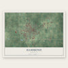
Hammond, Louisiana Map Art
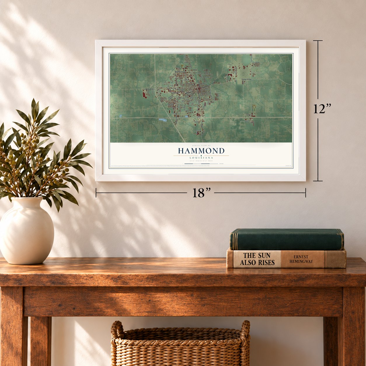
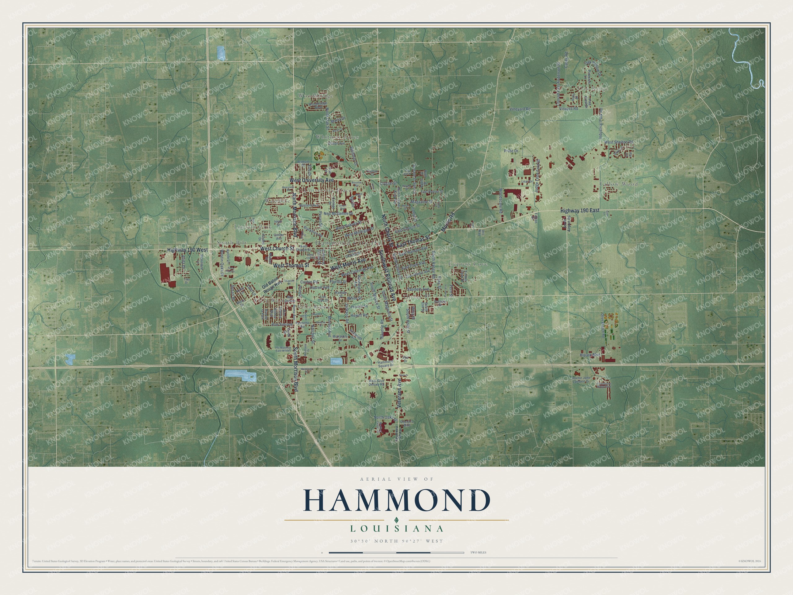
A new map of Hammond, Louisiana, made in 2026 and printed to order on thick archival matte paper.
12" x 18" Archival Matte Print
A Map of Home. A Work of Art.
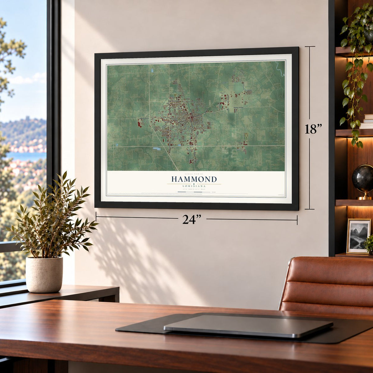
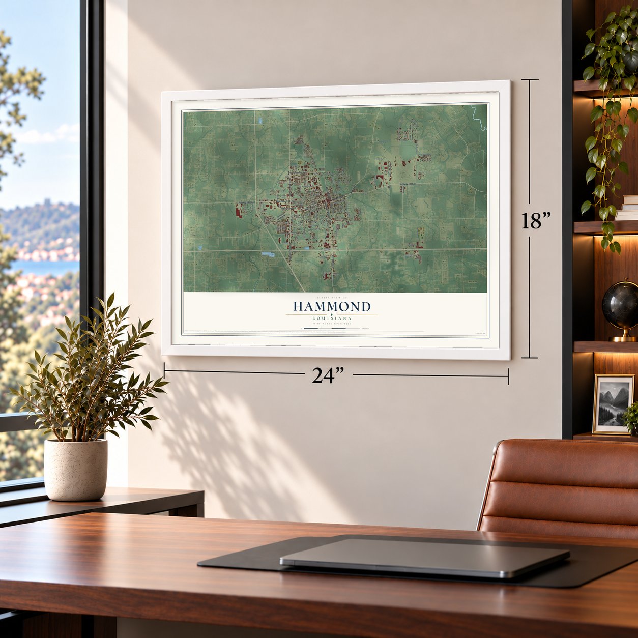
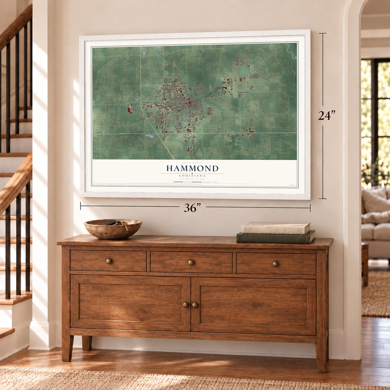
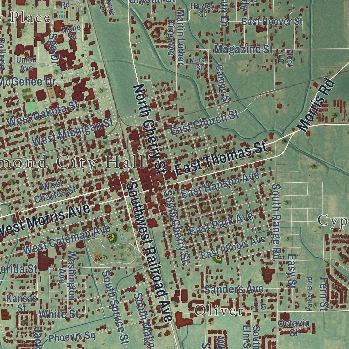
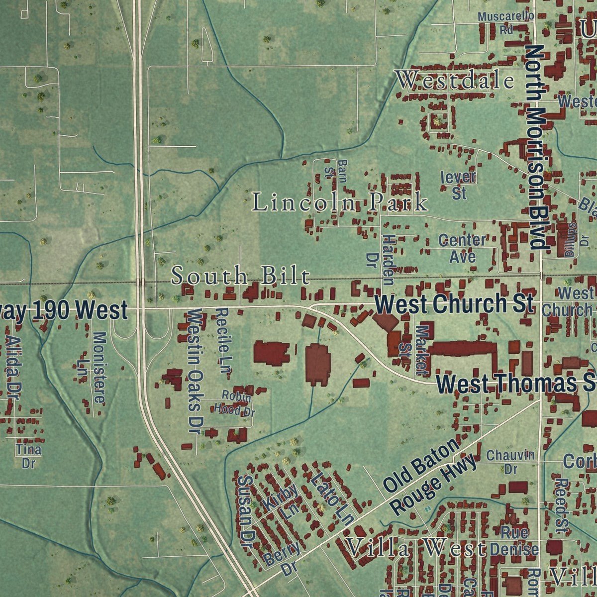
Explore Hammond, Louisiana from a whole new perspective. Created using aerial imagery and detailed geographic data, this map captures Hammond building by building, with labeled streets, familiar landmarks, and shaded topographical relief that highlights the natural contours of the landscape.
Combining modern data with the timeless character of a vintage atlas, this map is just as interesting up close as it is beautiful on the wall. Whether you grew up in Hammond, spent memorable years there, or call it home today, this unique map is a great way to celebrate a place that means something to you. Zoom in on the preview to look for your street, and then order a print to put your memories on the wall.
Three ways to hang it
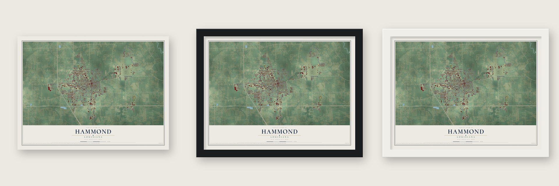
Unframed archival matte, a black wood frame or a white wood frame.
Up close
Geography Worth Displaying
This map was created using accurate cartographic data and authoritative geographic sources, including the U.S. Geological Survey and the Census Bureau. The map brings together terrain, waterways, roads, and building detail. The majority of the streets are labeled, houses are accurately depicted, and the topography is derived from government sources. Combining local data with carefully composed color and shading leads to this beautifully detailed Hammond artwork for your wall.
Rather than simply showing street outlines, we’ve included as many of the street names as we could reasonably fit on the map while keeping their names legible. Zoom in on the high resolution preview to see exactly what’s on the map. We truly set out to create a statement piece for anyone who loves Hammond. So whether it’s for you, or a gift for someone you love, we hope this map of Hammond brings back fond memories.
Read the story behind this map of Hammond, Louisiana from 2026.
About Hammond, Louisiana
Hammond is a city of 19,584 people in Tangipahoa Parish, northwest of Lake Pontchartrain. Its name honors Peter Hammond, a Swedish sailor. During the Napoleonic Wars the British locked him up in Dartmoor Prison, but he broke out in a riot, returned to sea and made his way to New Orleans. Around 1818 he became the first European settler here. He bought cheap land and grew trees, which he turned into masts and charcoal for ships in New Orleans. He hauled them by oxcart to Springfield on the Natalbany River. He held at least 30 enslaved people, and he lost his fortune when Union soldiers raided his land in the Civil War.
Trains of the New Orleans, Jackson and Great Northern line began passing through in 1854. The spot where the tracks crossed the road to Springfield was first called Hammond's Crossing. Near the end of the war, Charles Emery Cate laid out the street grid along the tracks and named several streets for his sons. Hammond was chartered in 1889. By the end of that century, trains brought northern travelers south and carried New Orleans families north, away from summer yellow fever.
- Shoes for the ConfederacyDuring the Civil War, Hammond made shoes for the Confederate army. Charles Emery Cate built the trade after he bought land here in 1860. On that land he raised a house for his family, a sawmill, a tannery and a factory that made the shoes, and Cate Street carries his name.
- 140,000 flats a dayHammond later shipped strawberries, a history it shares with Independence and Ponchatoula on the same rail line. By the 1920s its strawberry auction handled 140,000 flats on an average day. Most went north in refrigerated cars built to keep the berries from bruising. A state plaque downtown calls Hammond the Strawberry Capital of America.
- A university from 1925Southeastern Louisiana University was founded in 1925, largely through the efforts of Linus A. Sims, who was principal of Hammond High School at the time. Its McGehee Hall joined the National Register in 1985, and the high school followed in 1996. In the 1990s the university restored the Columbia Theatre, a downtown movie house from 1928, as a place for the arts.
- A church founded in 1867Charles Daggs, a former slave who had served in the Union navy, formed Greater St. James AME Church in 1867. Alexander Cornelius Evans designed its present building at 311 East Michigan Street. Builder John Noble finished it in 1925 on land that Israel Carter and Albert Gibson had bought. The church joined the National Register in 2017.
Find your street
Names on the Hammond map
Every name below is printed on this map. Look for your street, your school, the park where you played, or the pond down the road.
Places and landmarks13
- Hammond City Hall
- Oak Ridge
- Cypress Cove
- Lincoln Park
- Oliver
- South Bilt
- Tallow Wood
- University Place
- Villa Roma
- Villa West
- Westdale
- Whitmar Acres
Show all 13 places
- Woodbridge
Streets and roads153
- West Thomas Street
- Southwest Railroad Avenue
- North Morrison Boulevard
- Highway 190 West
- North Cherry Street
- Veterans Avenue
- Highway 190 East
- East Thomas Street
- West Church Street
- South Morrison Boulevard
- West University Avenue
- West Morris Avenue
- Morris Road
- South Cherry Street
- White Street
- South Spruce Street
- Susan Drive
- North Oak Street
- Vineyard Road
- Vinyard Road
- Industrial Park Road
- South Holly Street
- Pride Drive
- Jackson Road
- Natchez Street
- South Range Road
- Oak Hollow Drive
- Mooney Avenue
- South Magnolia Street
- Pecan Street
Show all 153 streets
- Whitmar Drive
- East Church Street
- East Park Avenue
- West Coleman Avenue
- Casey Road
- Hewitt Road
- Hipark Boulevard
- East Hanson Avenue
- Magazine Street
- Conrad East Anderson Street
- Ned McGehee Drive
- Woodscale Road
- Sun Lane
- West Dakota Street
- West Michigan Street
- Sanders Avenue
- North Oaks Drive
- Judge Leon Ford Street
- Bauerle Road
- Corbin Road
- West Shelton Road
- Harrell Avenue
- Westin Oaks Drive
- Rue Simone
- Fern Street
- Sga Drive
- Whip Street
- Easy Street
- Alida Drive
- Marta Drive
- Crystal Street
- Carter Street
- Florida Street
- Elm Drive
- Lato Lane
- Old Baton Rouge Highway
- West Charles Street
- Phoenix Square
- Blackburn Road
- West Club Deluxe Road
- Forbes Farm Drive
- Hammond Square Drive
- South Elm Street
- Pine Crest Drive
- Pinecrest Lane
- Delmar Boulevard
- Lion Lane
- Palmetto Road
- College Drive
- Martin Luther King Avenue
- Rue Cannes
- East Illinois Avenue
- East Hoover Street
- Washington Avenue
- Holly Drive
- Rue de la Paix
- Olive Branch Road
- Doctor John Lambert Drive
- Western Avenue
- Sunlane Street
- Harden Drive
- Apple Street
- Monistere Lane
- Rue Denise
- Silman Avenue
- Woodbridge Boulevard
- Pine Lane
- Roma Avenue
- Richsmith Lane
- Par Lane
- Scanlan Street
- Live Oak Drive
- Campo Street
- Reed Street
- Market Street
- Center Avenue
- McKaskle Drive
- Doctor's Boulevard
- Recile Lane
- Kirby Lane
- Rumsie Drive
- Derek Drive
- Clinton Court
- Octavia Street
- Lear Drive
- Kansas Street
- Berry Drive
- Falcon Drive
- Duo Drive
- Arc Way
- Ruth Drive
- Iever Street
- South Airport Road
- Providence Ridge Boulevard
- Medical Center Drive
- Pfc Matthew East Wildes
- Harvey Street
- Lovett Street
- Windrush Drive
- Chauvin Drive
- Union Avenue
- Amar Drive
- Top Hat Street
- Mane Street
- Roomie Road
- Fleet Lane
- Tina Drive
- Southwest RR Avenue
- Robin Hood Drive
- West Clark Street
- Billups Drive
- Montecino Drive
- Palmetto Street
- Barn Street
- Parker Boulevard
- Muscarello Road
- Moran Street
- Seale Drive
- Skinner Lane
- Tower Drive
- Janes Lane
- Gahn Lane
- Elm Court
Names are listed as they appear on the printed map. Zoom into the product photos to find them.
The art of mapping a place
How This Map Was Made
Real places. Remarkable detail. Discover the layers that turn geographic data into a map of home.

The view from above
Aerial imagery reveals the character of the land: woodland, open fields, and the patterns of a place.

The shape of the land
Elevation data brings hills, valleys, and subtle changes in the landscape into view.

The details of home
Roads, waterways, and building footprints come together to make the map feel unmistakably local.

Geography becomes art
Considered color, shading, and typography bring the layers together in a map made for your wall.


Process illustrated with Mendon, Massachusetts. Aerial imagery: USDA NAIP. Terrain: USGS 3D Elevation Program. Map details and finished artwork: KNOWOL.
The Details
About This Print
Choose an archival matte print, or a black or white Ayous wood frame. The archival matte print is unframed.
Select your size and finish above to see the matching product image and price.
Materials & Craftsmanship
A contemporary map with the character of a classic atlas, printed on archival matte paper. Optional frames are made from Ayous wood.
Your printed map does not include the watermark shown in the full-map preview.
Shipping & Delivery
Free shipping within the United States. Every print is made to order in the USA.
Buying a gift? Add a note in your cart and we'll include it. We never put prices in the package.
Prints ship within 2 to 3 business days. Allow 7 to 10 days total from ordering for delivery. Timing may vary during holidays or periods of high order volume.
Read our shipping policy.
Returns and damaged prints
Each print is made to order. Change-of-mind refunds are not available after production.
If your print arrives damaged, misprinted or incorrect, contact support@knowol.com within 30 days of receiving it. Include your order number, photos and a description of the issue.
Read our full refund and replacement policy. For questions about your order, email support@knowol.com.
Find your town
Looking for another city?
Find a map of home in our Louisiana collection, or any town in the country.
Nearby
Maps of towns near Hammond
Know someone from one of these towns? Their map makes a great gift.
 Natalbany
, Louisiana
From $39.99See the map
 Ponchatoula
, Louisiana
From $39.99See the map
 Tickfaw
, Louisiana
From $39.99See the map
More maps nearby: Albany, Springfield, Independence, Killian and Amite City.