
Search for another town

Free U.S. delivery 7 to 10 days after you order
Hannibal, Missouri Map Art
Building by building, with labeled streets and shaded relief.
12" x 18" Archival Matte Print
A Map of Home. A Work of Art.
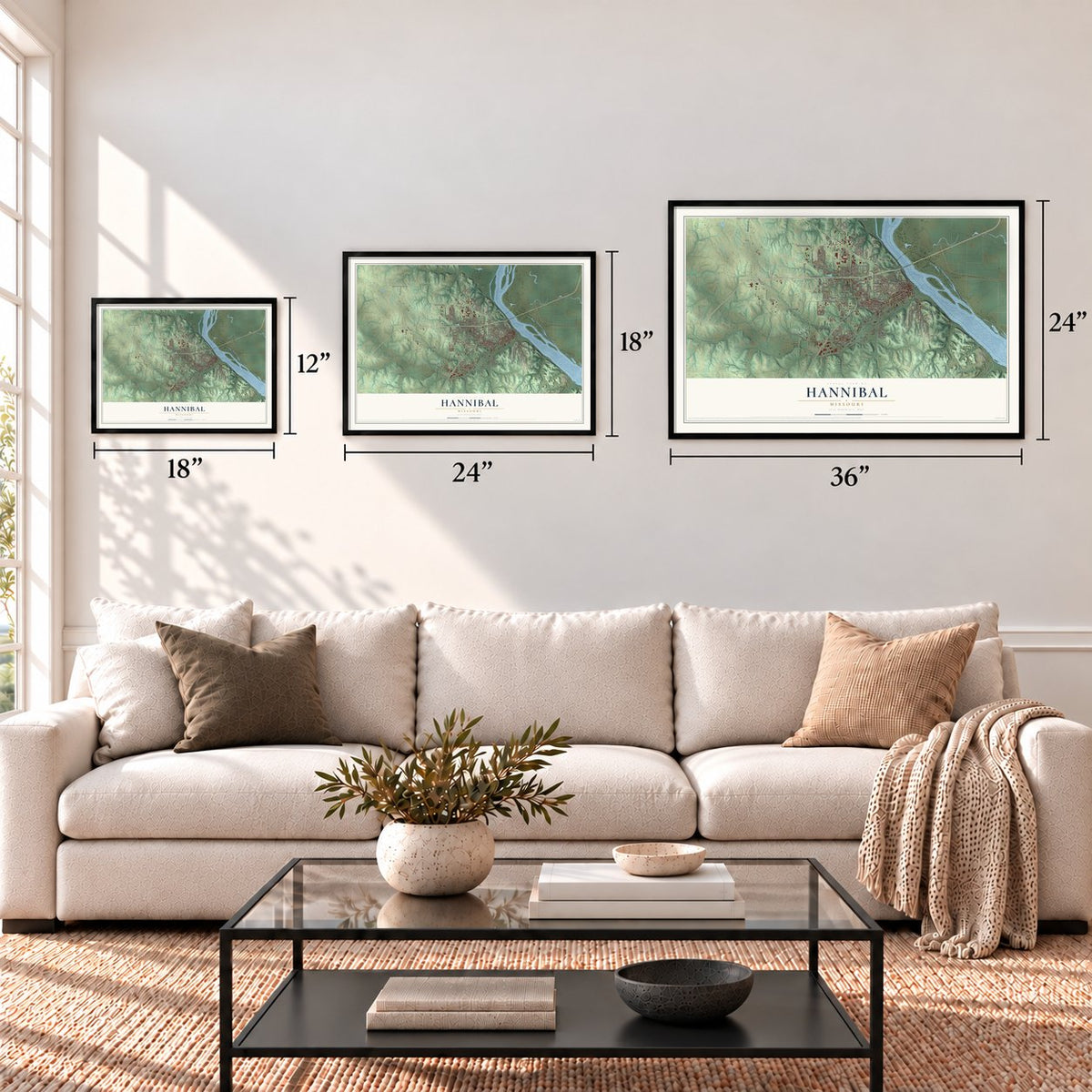
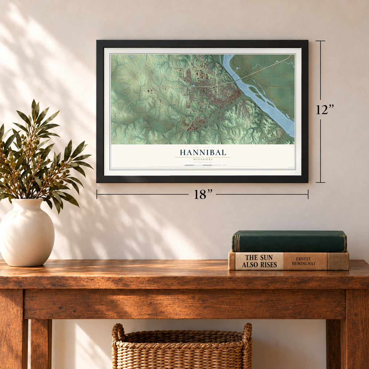
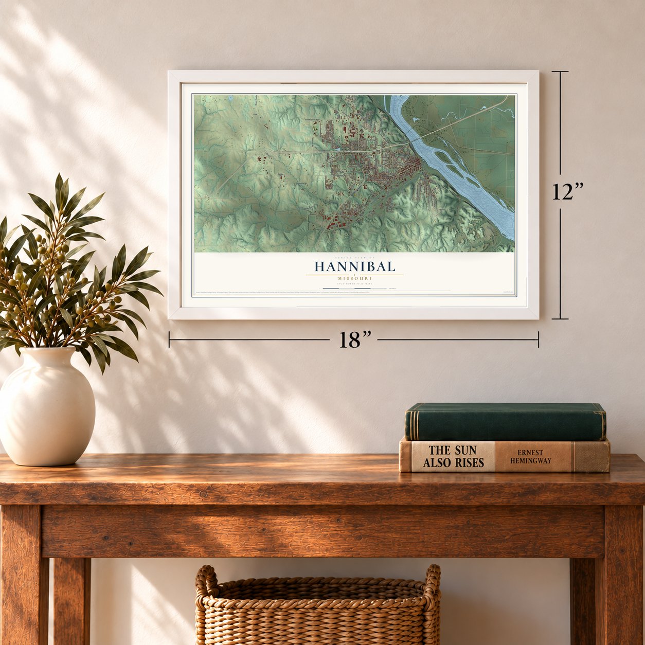
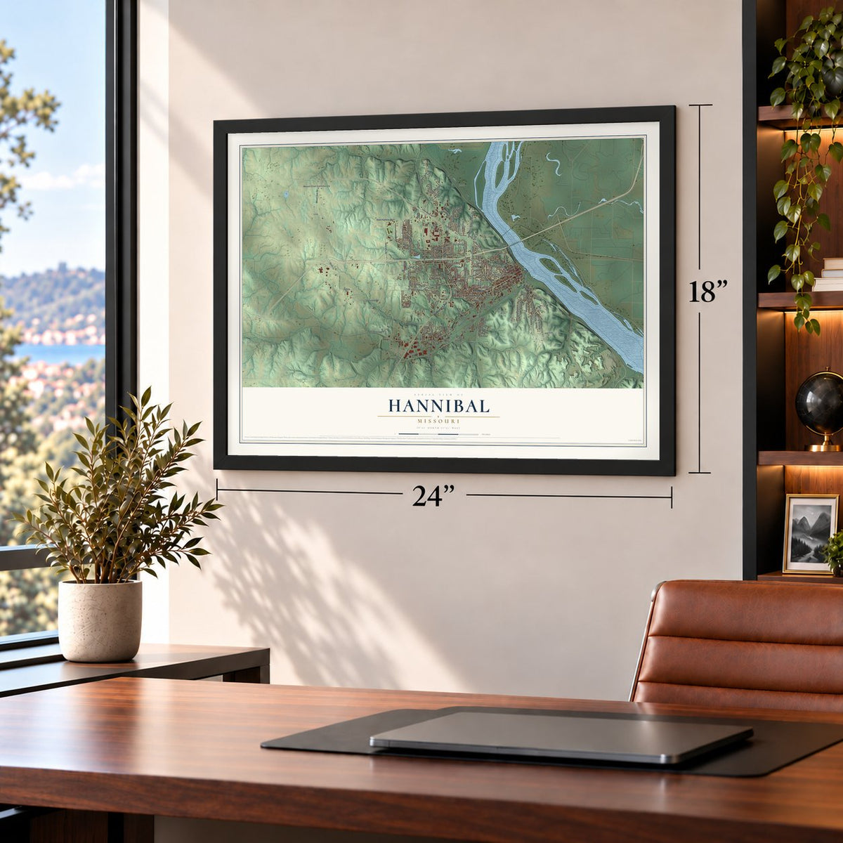
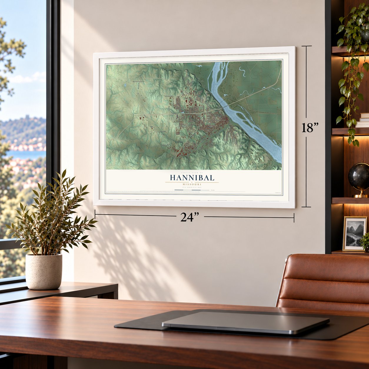
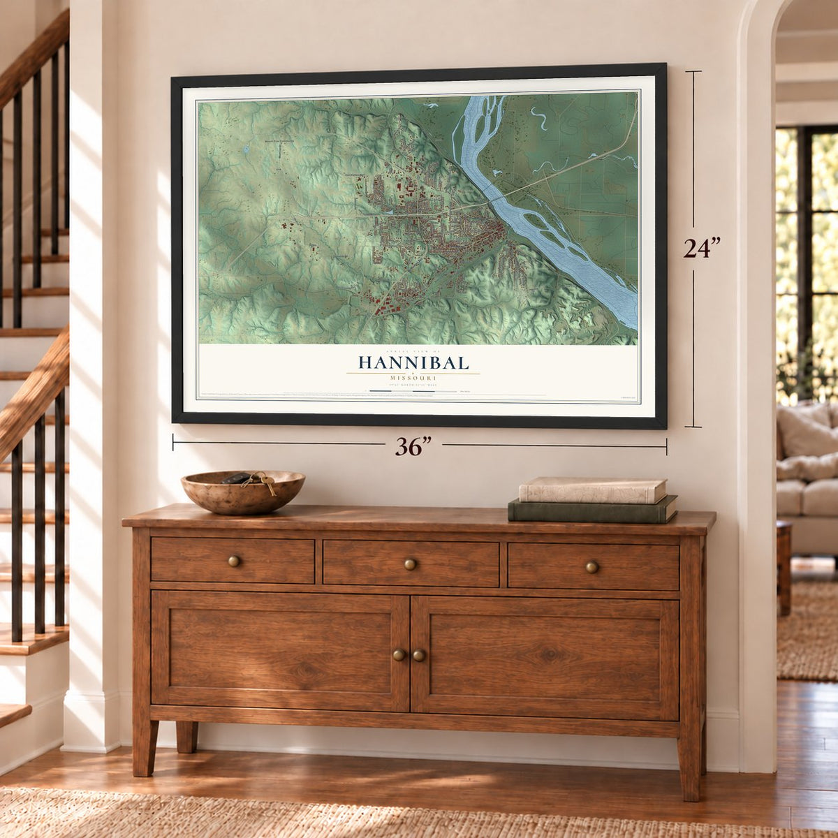
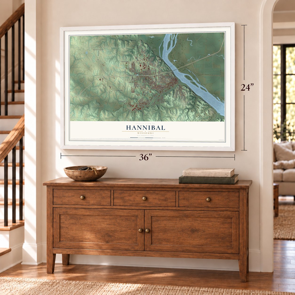
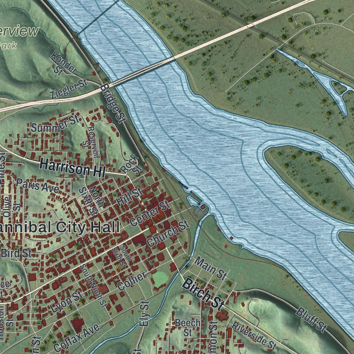
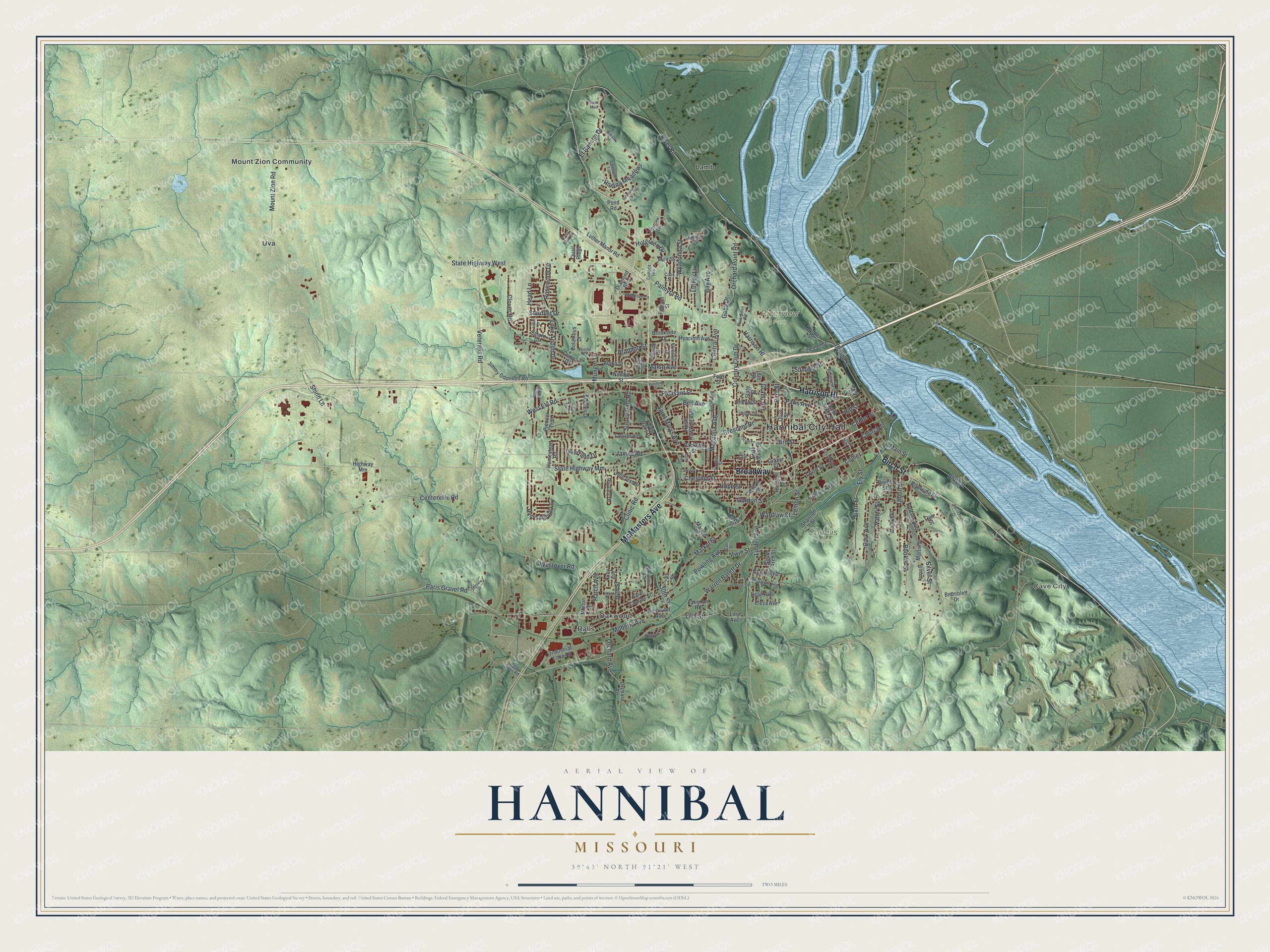
Explore Hannibal, Missouri from a whole new perspective. Created using aerial imagery and detailed geographic data, this map captures Hannibal building by building, with labeled streets, familiar landmarks, and shaded topographical relief that highlights the natural contours of the landscape.
Combining modern data with the timeless character of a vintage atlas, this map is just as interesting up close as it is beautiful on the wall. Whether you grew up in Hannibal, spent memorable years there, or call it home today, this unique map is a great way to celebrate a place that means something to you. Zoom in on the preview to look for your street, and then order a print to put your memories on the wall.
Three ways to hang it
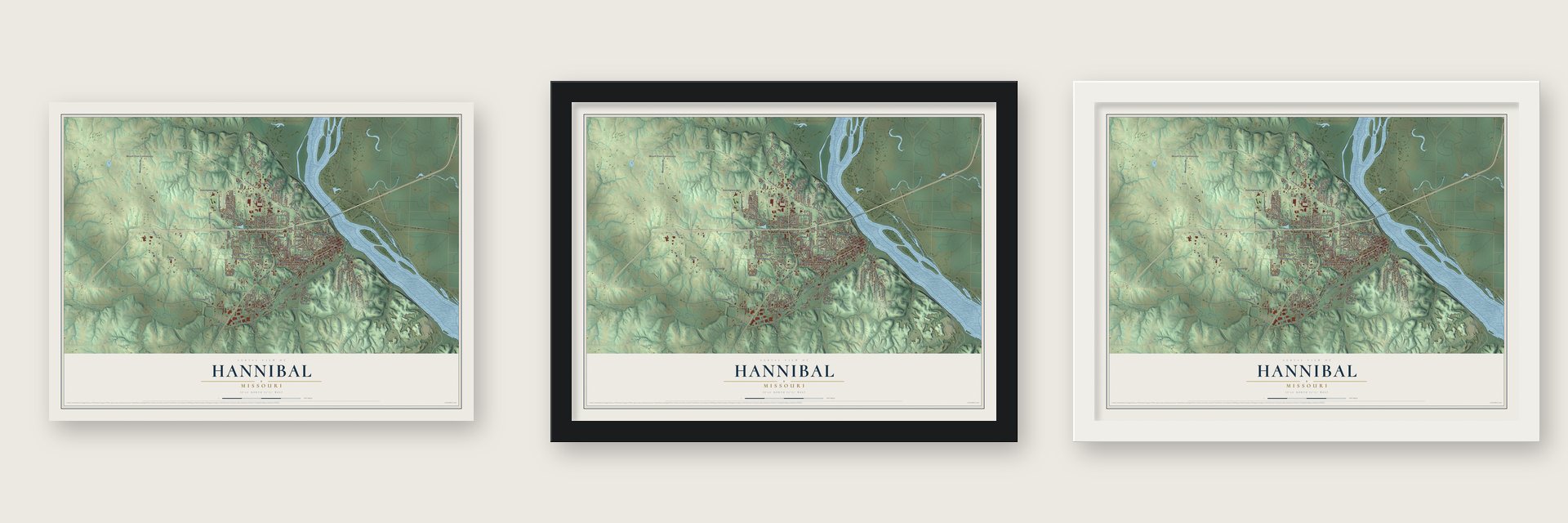
Unframed archival matte, a black wood frame or a white wood frame.
Up close
Geography Worth Displaying
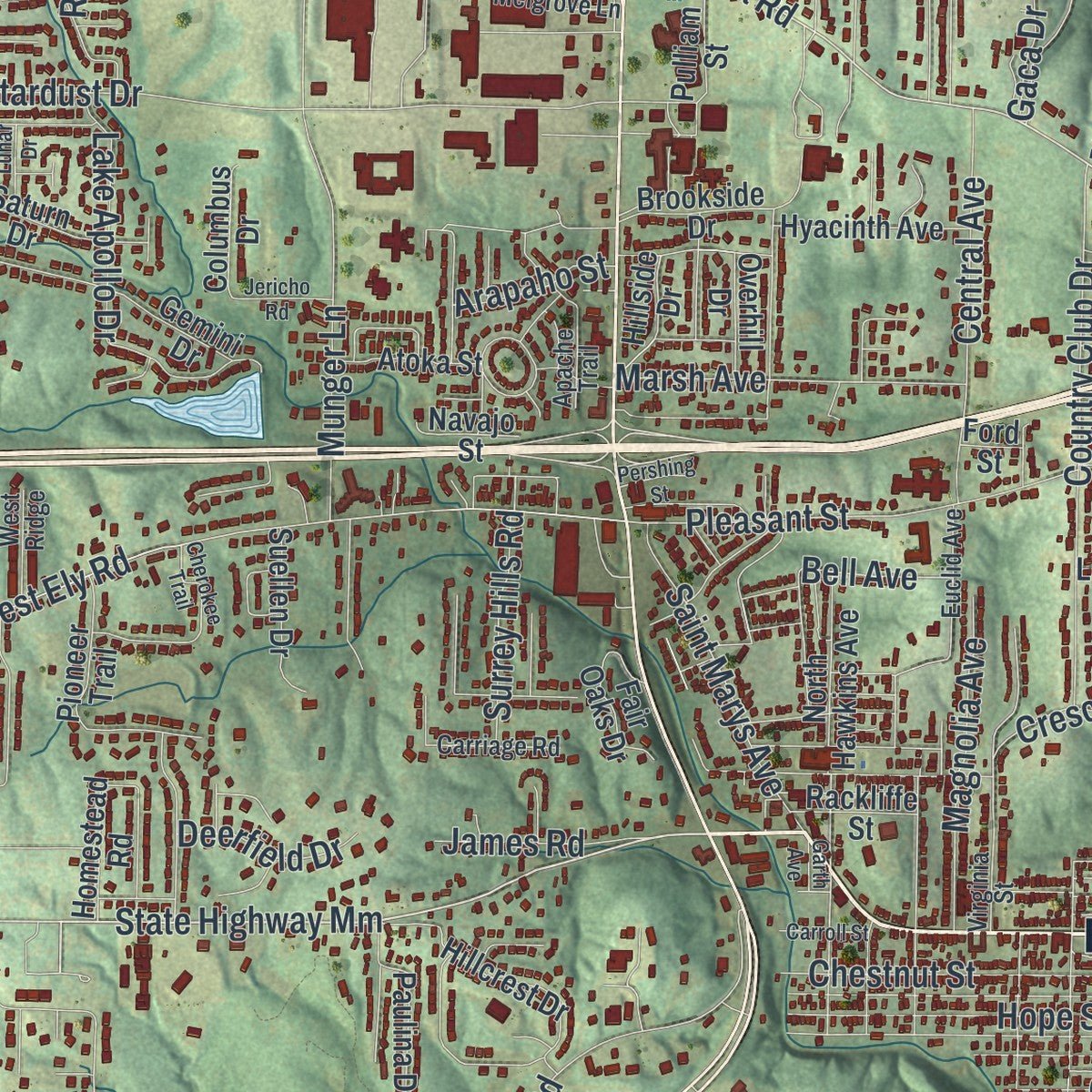
This map was created using accurate cartographic data and authoritative geographic sources, including the U.S. Geological Survey and the Census Bureau. The map brings together terrain, waterways, roads, and building detail. The majority of the streets are labeled, houses are accurately depicted, and the topography is derived from government sources. Combining local data with carefully composed color and shading leads to this beautifully detailed Hannibal artwork for your wall.
Rather than simply showing street outlines, we’ve included as many of the street names as we could reasonably fit on the map while keeping their names legible. Zoom in on the high resolution preview to see exactly what’s on the map. We truly set out to create a statement piece for anyone who loves Hannibal. So whether it’s for you, or a gift for someone you love, we hope this map of Hannibal brings back fond memories.
Read the story behind this map of Hannibal, Missouri from 2026.
Find your street
Names on the Hannibal map
Every name below is printed on this map. Look for your street, your school, the park where you played, or the pond down the road.
Places and landmarks9
- Hannibal City Hall
- Cave City
- Riverview Park
- Sodalis Park
- Lamb
- Mount Zion Community
- Oakwood
- Ralls
- Uva
Streets and roads179
- Broadway
- Harrison Hl
- McMasters Avenue
- Birch Street
- Market Street
- Paris Gravel Road
- State Highway Mm
- Warren Barett Drive
- Lemon Street
- Grand Avenue
- Wardlaw Street
- Palmyra Road
- Bluff Street
- Lilly Street
- Veterans Road
- West Ely Road
- Collier
- 30th Street
- Bird Street
- James Road
- State Highway West
- River Road
- Stardust Drive
- Fulton Avenue
- Hill Street
- Pleasant Street
- Mount Zion Road
- Centerville Road
- Sixth Street
- Munger Lane
Show all 179 streets
- Lindell Avenue
- Head Lane
- Lyon Street
- Country Club Drive
- Center Street
- Orchard Point Road
- Church Street
- Colfax Avenue
- Ely Street
- Bridge Street
- Central Avenue
- Hope Street
- Union Street
- Clinic Road
- Chestnut Street
- Lake Apollo Drive
- Gordon Street
- Westover Road
- Bowling Avenue
- Park Avenue
- Rolling Meadows
- El Rancho Drive
- Marsh Avenue
- Moberly Avenue
- Saint Marys Avenue
- Clover Road
- Shinn Lane
- Magnolia Avenue
- Orchard Avenue
- Paris Avenue
- Wyaconda Street
- Valley Street
- Booker Street
- 36th Street
- Rosewood Drive
- Gaca Drive
- Crescent Drive
- Silver Street
- Pine Street
- Bay Avenue
- Surrey Hills Road
- Hatch Avenue
- Luther Lane
- Hutgreen Drive
- Irwin Street
- Deerfield Drive
- Clark Avenue
- Summer Street
- Arapaho Street
- Bell Avenue
- Main Street
- Highway Mm
- North Sixth Street
- North Hawkins Avenue
- Rock Street
- Lilly Avenue
- Eleza Avenue
- Jimmy Odonnell Road
- South Arch Street
- Hummingbird Lane
- Pioneer Trail
- Grace Street
- Walnut Street
- Shannon Street
- Pulliam Street
- Homestead Road
- Gemini Drive
- Bramblett Drive
- Industrial Loop Road
- Diamond Boulevard
- Olive Street
- Willow Street
- 29th Street
- Saint Charles Street
- Holiday Drive
- Hillcrest Drive
- Luther Manor Road
- Ruby Avenue
- Riverside Street
- Hyacinth Avenue
- Fair Oaks Drive
- Saturn Drive
- Heimer Lane
- Paulina Drive
- Brookside Drive
- Lincoln Street
- Atoka Street
- Orchard Road
- Hillside Drive
- Marion Street
- Columbus Drive
- Kenwood Avenue
- Lakenan Road
- Suellen Drive
- Dean Avenue
- Rackliffe Street
- Overhill Drive
- Ziegler Street
- Muir Street
- Martin Street
- North Locust Street
- Oak Street
- Houston Street
- Navajo Street
- Morton Street
- State Street
- Konder Street
- Beech Street
- Quail Ridge
- Davis Street
- Pond Road
- 18th Street
- Ford Street
- Red Devil Road
- Virginia Street
- South Ninth Street
- Euclid Avenue
- Singleton Avenue
- Robinson Avenue
- Carriage Road
- Reservoir Street
- College Heights
- Melgrove Lane
- Stuart Street
- Riverpoint Road
- West Ridge
- Apache Trail
- Siesta Drive
- 20th Street
- River Bluff Drive
- Cook Street
- Carr Street
- Cherokee Trail
- Butternut Drive
- Timberline Trail
- Johnson Street
- Skyview Drive
- South Sixth Street
- Tilden Street
- Recreation Drive
- Benton Street
- Ledbetter Lane
- Jericho Road
- Locust Lane
- Carroll Street
- Lunar Drive
- Pershing Street
- Garth Avenue
- Saint Maur
Names are listed as they appear on the printed map. Zoom into the product photos to find them.
About Hannibal, Missouri
Hannibal is a city of 17,108 people on the west bank of the Mississippi River. Most of it lies in Marion County, with a small piece reaching into Ralls County. Moses Bates laid out the town in 1819 and named it for Hannibal Creek, now called Bear Creek, which took its name from a hero of ancient Carthage. Growth came slowly at first, and only 30 people lived here in 1830.
Steamboats on the river and plans for railroads changed that. Hannibal took in the town of South Hannibal in 1843 and was a city by 1845. In 1846, when it ranked as Missouri's third-largest city, John M. Clemens and his partners organized the Hannibal and St. Joseph Railroad. The line ran west to St. Joseph, then the second city in the state, and later carried mail to the first Pony Express outpost. By 1850 Hannibal had 2,020 residents.
- Mark Twain's boyhood townSamuel Langhorne Clemens, the son of John M. Clemens, grew up here in the middle of the 19th century and later wrote as Mark Twain. He drew on Hannibal for The Adventures of Tom Sawyer in 1876 and Adventures of Huckleberry Finn in 1884. His Boyhood Home on Hill Street joined the National Register in 1966, and the Mark Twain Historic District around it followed in 1978.
- Cement for the Empire State BuildingIn the late 19th and early 20th centuries, Hannibal was the market town where the region sold its livestock and grain, and local plants made shoes and cement. The Atlas Portland Cement Company, in the company town of Ilasco just outside the city, made cement for the Panama Canal and for the Empire State Building, finished in 1931.
- The Unsinkable Molly BrownMargaret Brown, who survived the sinking of the Titanic and became known after her death as the "Unsinkable Molly Brown," was born in Hannibal. Her birth cottage now houses the Molly Brown Birthplace and Museum.
- A lighthouse lit by three presidentsThe Mark Twain Memorial Lighthouse went up in 1933 as a public works project under Franklin D. Roosevelt. Roosevelt, John F. Kennedy and Bill Clinton have each lit it for a ceremony. It is the only lighthouse built inland, and 244 steps climb to its view over the town and the river.
- Home of the Lear Jet's inventorWilliam P. Lear, who invented the car radio and built the Lear Jet, grew up in Hannibal. In 2003 the city's airport was renamed William P. Lear Field in his honor.
Keep exploring Missouri
Hannibal is one of 1,207 Missouri towns we've mapped. Every dot on the map is a print of its own.
The search covers every state, Missouri first.
Near Hannibal
Order 2 or more town maps and save 10%. Shown in the size and finish you picked above, so they hang as a set.
- Saverton 12" x 18" / Archival Matte Print $39.99
- Rensselaer 12" x 18" / Archival Matte Print $39.99
- New London 12" x 18" / Archival Matte Print $39.99
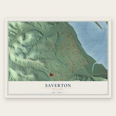
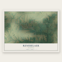
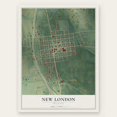
More maps nearby: Palmyra, Frankford, Center, Ashburn and Monroe City.
The art of mapping a place
How This Map Was Made
Real places. Remarkable detail. Discover the layers that turn geographic data into a map of home.

The view from above
Aerial imagery reveals the character of the land: woodland, open fields, and the patterns of a place.

The shape of the land
Elevation data brings hills, valleys, and subtle changes in the landscape into view.

The details of home
Roads, waterways, and building footprints come together to make the map feel unmistakably local.

Geography becomes art
Considered color, shading, and typography bring the layers together in a map made for your wall.


Process illustrated with Mendon, Massachusetts. Aerial imagery: USDA NAIP. Terrain: USGS 3D Elevation Program. Map details and finished artwork: KNOWOL.
The Details
About This Print
Choose an archival matte print, or a black or white Ayous wood frame. The archival matte print is unframed.
Select your size and finish above to see the matching product image and price.
Materials & Craftsmanship
A contemporary map with the character of a classic atlas, printed on archival matte paper. Optional frames are made from Ayous wood.
Your printed map does not include the watermark shown in the full-map preview.
Shipping & Delivery
Free shipping within the United States. Every print is made to order in the USA.
Buying a gift? Add a note in your cart and we'll include it. We never put prices in the package.
Prints ship within 2 to 3 business days. Allow 7 to 10 days total from ordering for delivery. Timing may vary during holidays or periods of high order volume.
Read our shipping policy.
Returns and damaged prints
Each print is made to order. Change-of-mind refunds are not available after production.
If your print arrives damaged, misprinted or incorrect, contact support@knowol.com within 30 days of receiving it. Include your order number, photos and a description of the issue.
Read our full refund and replacement policy. For questions about your order, email support@knowol.com.