
Search for another town




Free U.S. delivery 7 to 10 days after you order
Harlingen, Texas Map Art
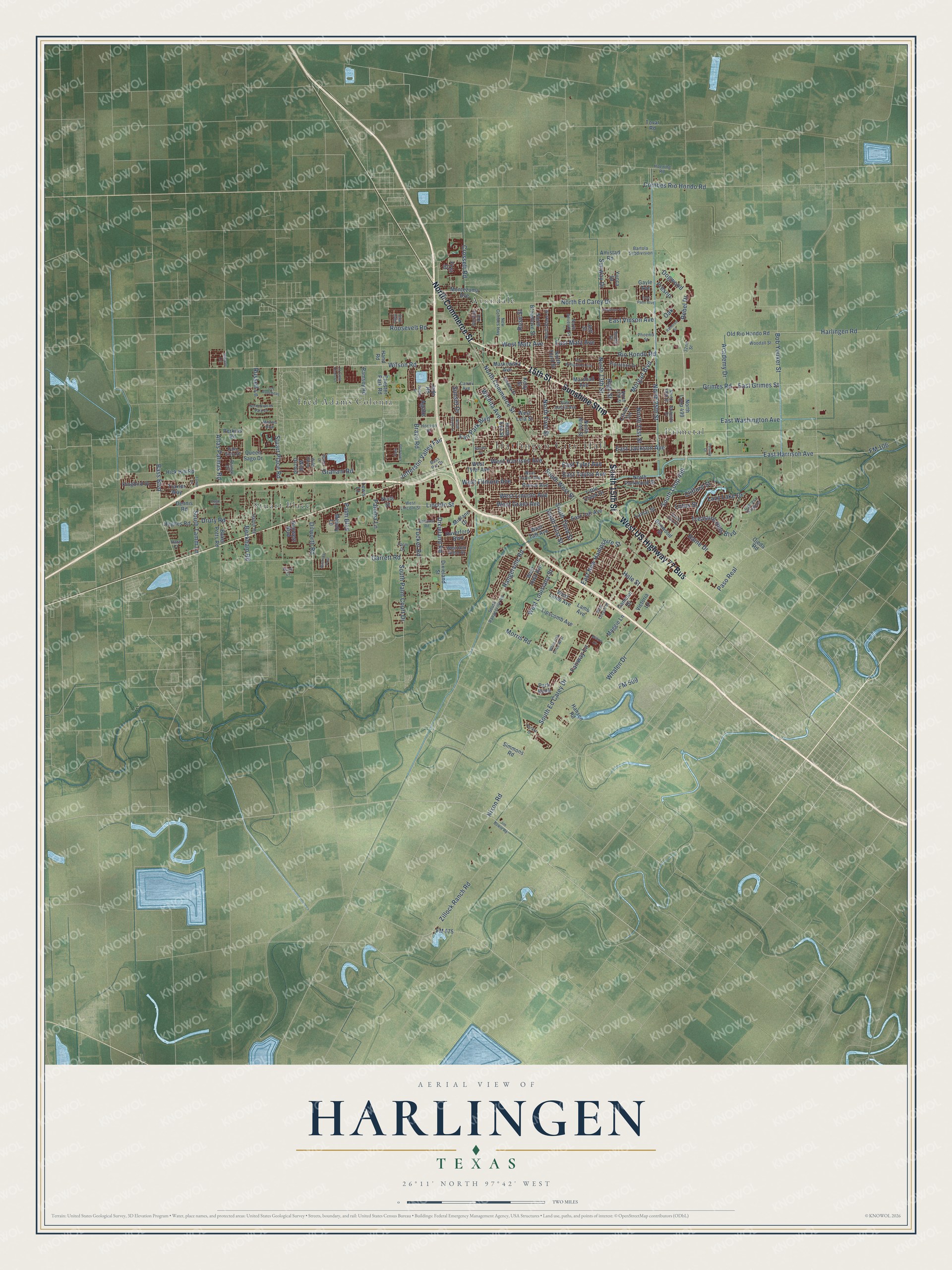
A new map of Harlingen, Texas, made in 2026 and printed to order on thick archival matte paper.
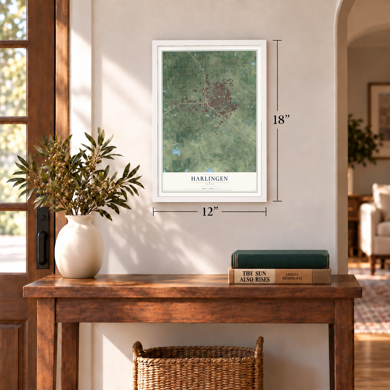
12" x 18" Archival Matte Print
A Map of Home. A Work of Art.
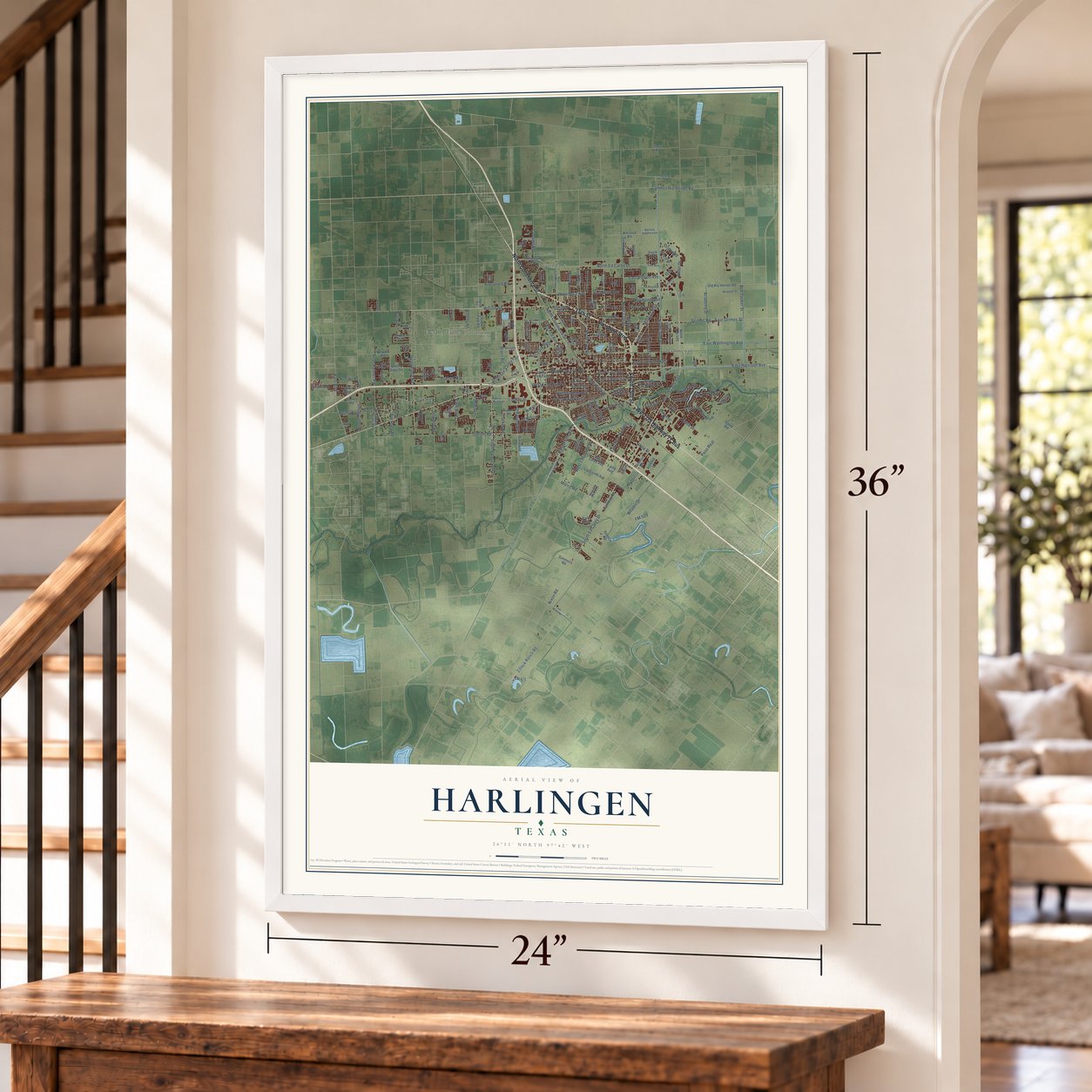
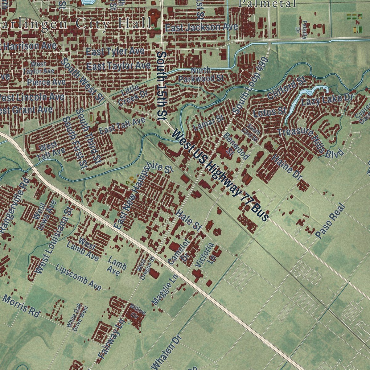
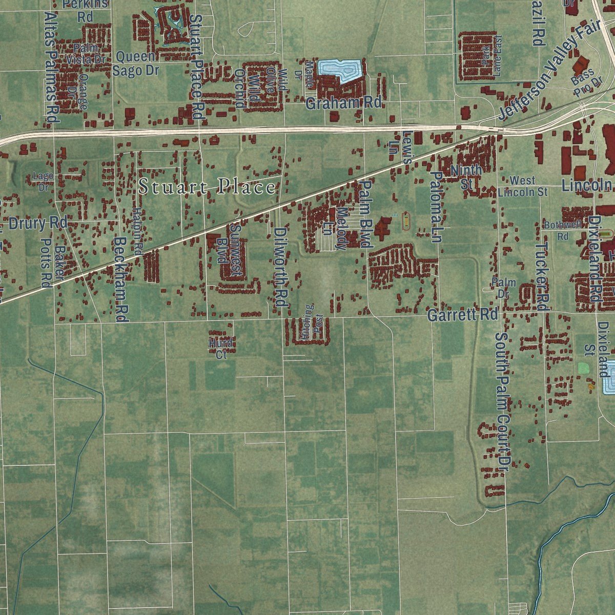
This beautifully detailed map of Harlingen, Texas was created in 2026 using aerial imagery combined with modern topographical, census, street and landmark data. It's a modern aerial view of Harlingen in Cameron County, Texas, that combines modern data with a vintage aesthetic. Zoom in on the preview and look for your block.
Three ways to hang it
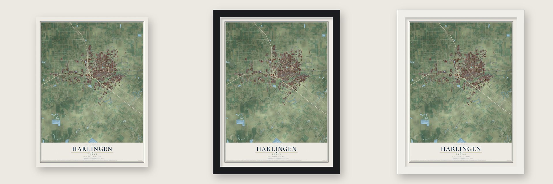
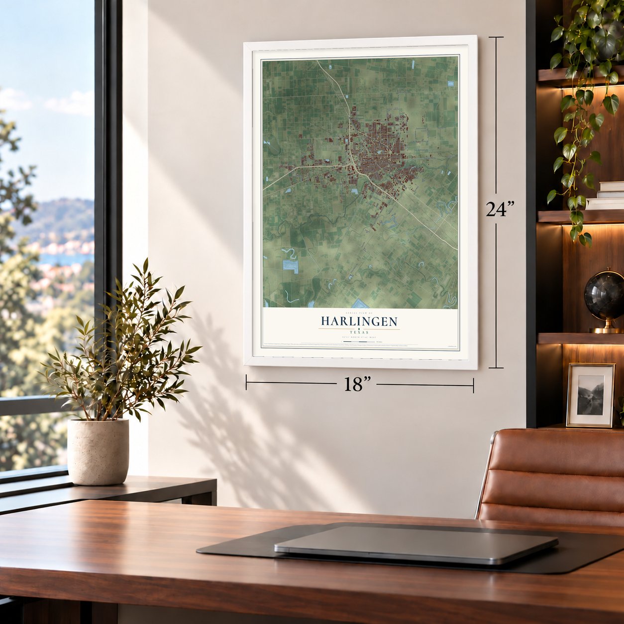
Unframed archival matte, a black wood frame or a white wood frame.
Up close
Real geography. Art worth displaying.
This map was created using accurate cartographic data and authoritative geographic sources, including the U.S. Geological Survey and the Census Bureau. The map brings together terrain, waterways, roads, and building detail. The majority of the streets are labeled, houses are accurately depicted, and the topography is derived from government sources. Combining local data with carefully composed color and shading leads to this beautifully detailed Harlingen artwork for your wall.
Rather than simply showing street outlines, we’ve included as many of the street names as we could reasonably fit on the map while keeping their names legible. Zoom in on the high resolution preview to see exactly what’s on the map. We truly set out to create a statement piece for anyone who loves Harlingen. So whether it’s for you, or a gift for someone you love, we hope this map of Harlingen brings back fond memories.
Read the story behind this map of Harlingen, Texas from 2026.

About Harlingen, Texas
Harlingen is a Cameron County city in the central Rio Grande Valley. Founded by Lon C. Hill in 1904 and named for a city in Holland, it developed from an agricultural community into a shipping, industrial, service, and health care center. The Census Bureau counted 71,829 residents in 2020.
- Highway CrossroadsHarlingen's position at U.S. highways 77 and 83 encouraged its growth as a distribution, shipping, and industrial center.
- First SchoolThe community's first school welcomed 15 pupils in 1905 near Lon C. Hill's home, Harlingen's earliest residence.
- Military EraMilitary installations helped raise the population from 23,000 in 1950 to 41,000 by 1960, before Harlingen Air Force Base closed in 1962.
- Hospital GrowthHarlingen's first hospital opened in 1923, and the later Valley Baptist Hospital developed into Valley Baptist Medical Center.
- Music TraditionThe Rio Grande Valley International Music Festival takes place in Harlingen each March.
Find your street
Names on the Harlingen map
Every name below is printed on this map. Look for your street, your school, the park where you played, or the pond down the road.
Places and landmarks5
- Harlingen City Hall
- Avondale
- Fred Adams Colonia
- Palmetal
- Stuart Place
Streets and roads199
- 15th Street
- West US Highway 77 Bus
- North Commerce Street
- Sunshine Strip
- South 15th Street
- North First Street
- East Tyler Avenue
- East Jackson Avenue
- West Harrison Avenue
- Hale Street
- East Matz Avenue
- Treasure Hills Boulevard
- South West Street
- FM 509
- East Harrison Avenue
- South Ed Carey Drive
- North Ed Carey Drive
- South Loop 499
- Wilson Road
- Morgan Boulevard
- Dixieland Road
- Garrett Road
- East Grimes Street
- Jefferson Valley Fair
- East Washington Avenue
- North 25th Street
- Rio Hondo Road
- South Palm Court Drive
- Altas Palmas Road
- Stuart Place Road
Show all 199 streets
- North 13th Street
- Beckham Road
- Grimes Road
- Bob Youker Street
- Dilworth Road
- Academy Drive
- Tucker Road
- Bass Boulevard
- Nixon Road
- Morris Road
- North 21st Street
- Combes Rio Hondo Road
- Rangerville Road
- South First Street
- South Third Street
- West Filmore Avenue
- Palm Boulevard
- Lazy Lake Drive
- East Vinson Avenue
- West Lincoln Avenue
- West Louisiana Street
- South Tamm Lane
- Clifford Street
- Fair Park Boulevard
- Haine Drive
- East Taylor Avenue
- West Grant Avenue
- Brazil Road
- Harlingen Road
- East New Hampshire Street
- Lincoln Street
- Paloma Lane
- West Matz Avenue
- Zillock Ranch Road
- Whalen Drive
- High Street
- Roosevelt Road
- Crossett Road
- Paso Real
- Drury Road
- Rebel Drive
- Graham Road
- Fairway Lane
- Wichita Avenue
- Russell Lane
- Dogwood
- Sunway Drive
- Sunset Drive
- Oak
- Rose Street
- Lotus Street
- Fresno
- FM 106
- Agate
- West Tyler Avenue
- Camelot Drive
- Montezuma Avenue
- North Third Street
- Chester Park Road
- Hick Hill Road
- North Breedlove Street
- Queen Sago Drive
- East Taft Avenue
- Amistad Road
- Old Rio Hondo Road
- Little Creek Drive
- Haverford Boulevard
- North Ninth Street
- Lipscomb Avenue
- North Parkwood Street
- Markowsky Avenue
- Park Bend
- Baker Potts Road
- Maggie Lane
- First Street
- West Lamb Avenue
- Ninth Street
- Marshall Avenue
- Hansen Road
- Pierce Avenue
- Ramsey Road
- Citrus Terrace
- North Loop 499
- Kingbird Drive
- West Taft Avenue
- Kelly Street
- North Eye Street
- Hughes Road
- Midlane Drive
- Lamb Avenue
- Lamar Street
- Traxler Way
- Dixieland Street
- Simmons Road
- Hand Road
- Gayle Avenue
- West Iowa Avenue
- Dennis Road
- Perkins Road
- Benwood Street
- Sunwest Boulevard
- West Lela Street
- Victoria Lane
- FM 675
- Lewis Lane
- Melody Lane
- Yucca Drive
- Wild Orchid
- Ojeda Road
- Tovar Road
- Jade Road
- Jeff Street
- North Seventh Street
- New Combes Highway
- East Austin Avenue
- South Rangerville Road
- West Lincoln Street
- Bass Pro Drive
- Halpin Road
- North 17th Street
- Orange Drive
- North Blake Street
- Plantation Drive
- Woodall Street
- West Taylor Avenue
- Findley Street
- North 29th Street
- Palm Vista Drive
- Bartola Subdivision
- West Ann Arbor Street
- Cypress Gardens
- Carrol Avenue
- Horizon Drive
- Hoening Road
- Sterling Avenue
- Sonesta Drive
- Phoenix Street
- Wild Olive
- Spring Court
- 32nd Street
- Palm Drive
- Hurd Court
- Hara Court
- East Williamson Avenue
- Tamm Lane
- North Nueces Park Lane
- East Palm Boulevard
- Park Lane East
- Willow Circle
- Jim Bowie Road
- Christian Circle
- South 23rd Street
- Raintree Street
- Bothwell Road
- White Oak Drive West
- Los Ranchitos
- Hitching Post
- West Oregon Street
- Polara Drive
- Maple Drive
- Masters Boulevard
- El Cielo Lindo Court
- Jasper Drive
- North South Street
- Seagull Lane
- Barton Street
- Faoulty Drive
- Date Palm
- Lago Drive
Names are listed as they appear on the printed map. Zoom into the product photos to find them.
The art of mapping a place
How This Map Was Made
Real places. Remarkable detail. Discover the layers that turn geographic data into a map of home.

The view from above
Aerial imagery reveals the character of the land: woodland, open fields, and the patterns of a place.

The shape of the land
Elevation data brings hills, valleys, and subtle changes in the landscape into view.

The details of home
Roads, waterways, and building footprints come together to make the map feel unmistakably local.

Geography becomes art
Considered color, shading, and typography bring the layers together in a map made for your wall.


Process illustrated with Mendon, Massachusetts. Aerial imagery: USDA NAIP. Terrain: USGS 3D Elevation Program. Map details and finished artwork: KNOWOL.
The Details
About This Print
Choose an archival matte print, or a black or white Ayous wood frame. The archival matte print is unframed.
Select your size and finish above to see the matching product image and price.
Materials & Craftsmanship
A contemporary map with the character of a classic atlas, printed on archival matte paper. Optional frames are made from Ayous wood.
Your printed map does not include the watermark shown in the full-map preview.
Shipping & Delivery
Free shipping within the United States. Every print is made to order in the USA.
Buying a gift? Add a note in your cart and we'll include it. We never put prices in the package.
Prints ship within 2 to 3 business days. Allow 7 to 10 days total from ordering for delivery. Timing may vary during holidays or periods of high order volume.
Read our shipping policy.
Returns and damaged prints
Each print is made to order. Change-of-mind refunds are not available after production.
If your print arrives damaged, misprinted or incorrect, contact support@knowol.com within 30 days of receiving it. Include your order number, photos and a description of the issue.
Read our full refund and replacement policy. For questions about your order, email support@knowol.com.
Find your town
Looking for another city?
Find a map of home in our Texas collection.
Nearby
Maps of towns near Harlingen
Know someone from one of these towns? Their map makes a great gift.
 Juarez
, Texas
From $39.99See the map
Juarez
Juarez, Texas
From $39.99See the map
 Las Palmas II
, Texas
From $39.99See the map
Las Palmas II
Las Palmas II, Texas
From $39.99See the map
 Palm Valley
, Texas
From $39.99See the map
Palm Valley
Palm Valley, Texas
From $39.99See the map
More maps nearby: Primera, Combes, Lasana, Arroyo Colorado Estates and San Benito.