
Search for another town
Free U.S. delivery 7 to 10 days after you order
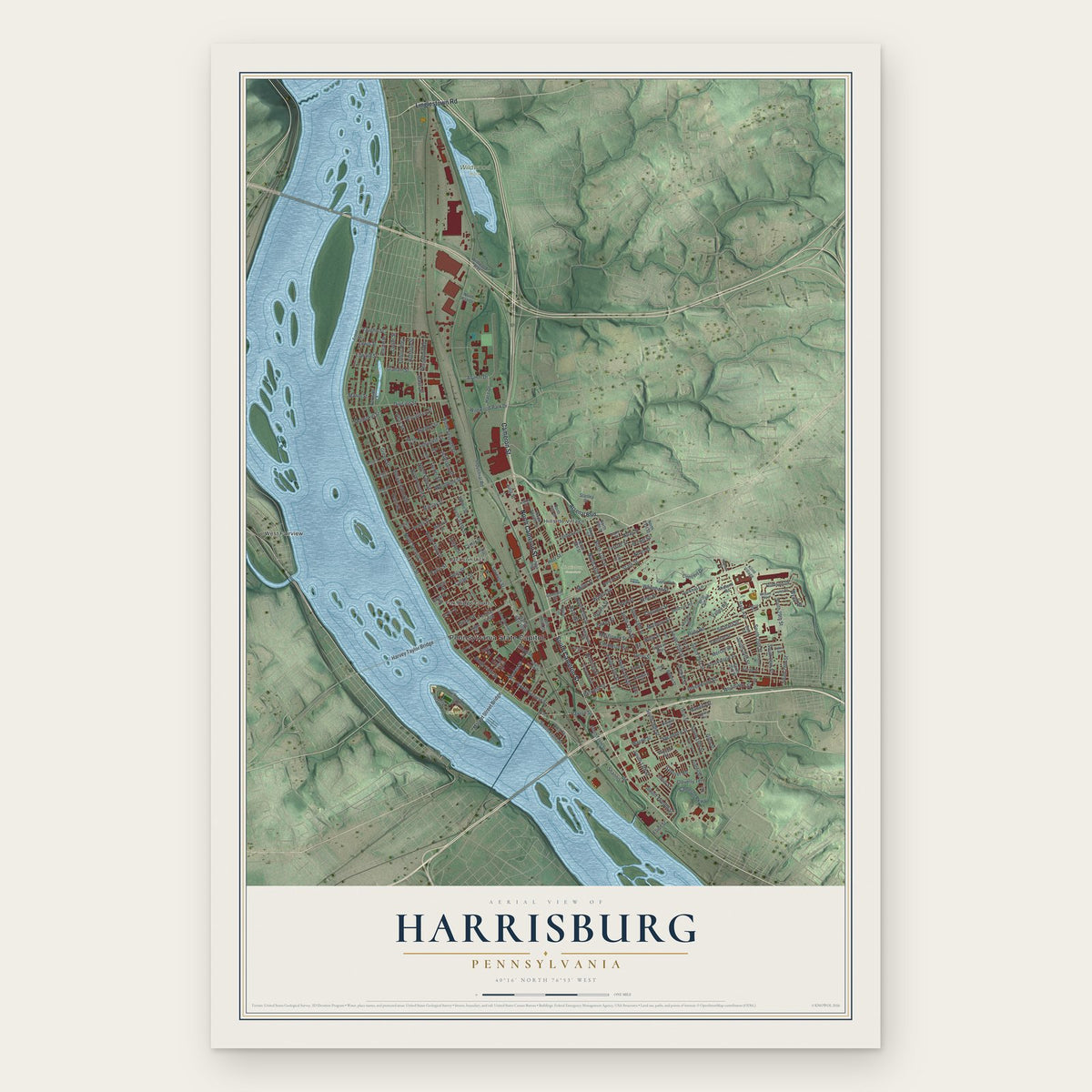
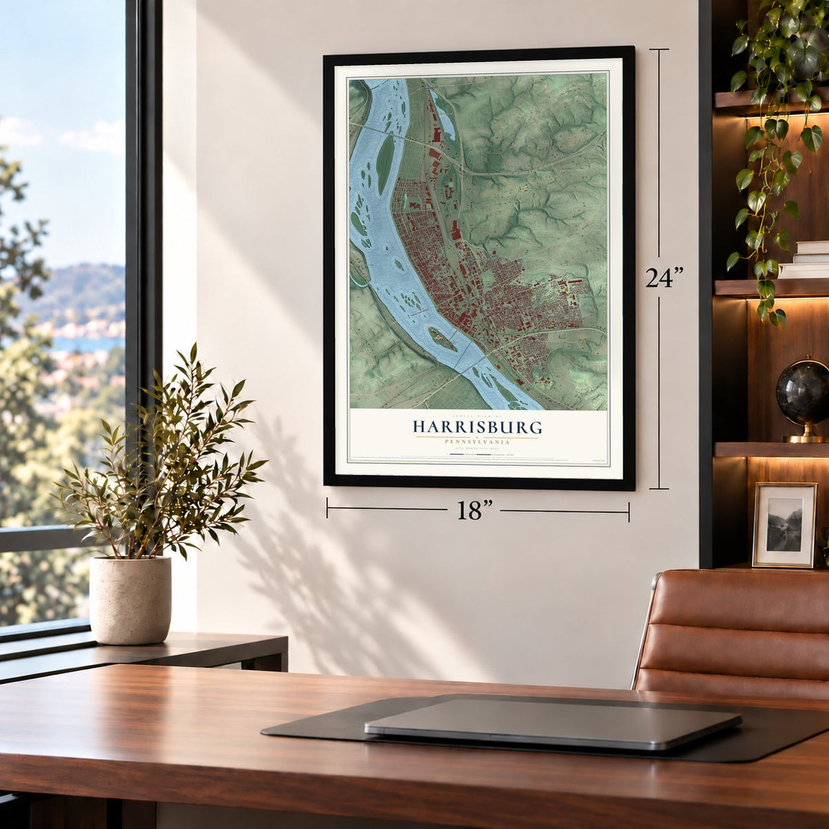
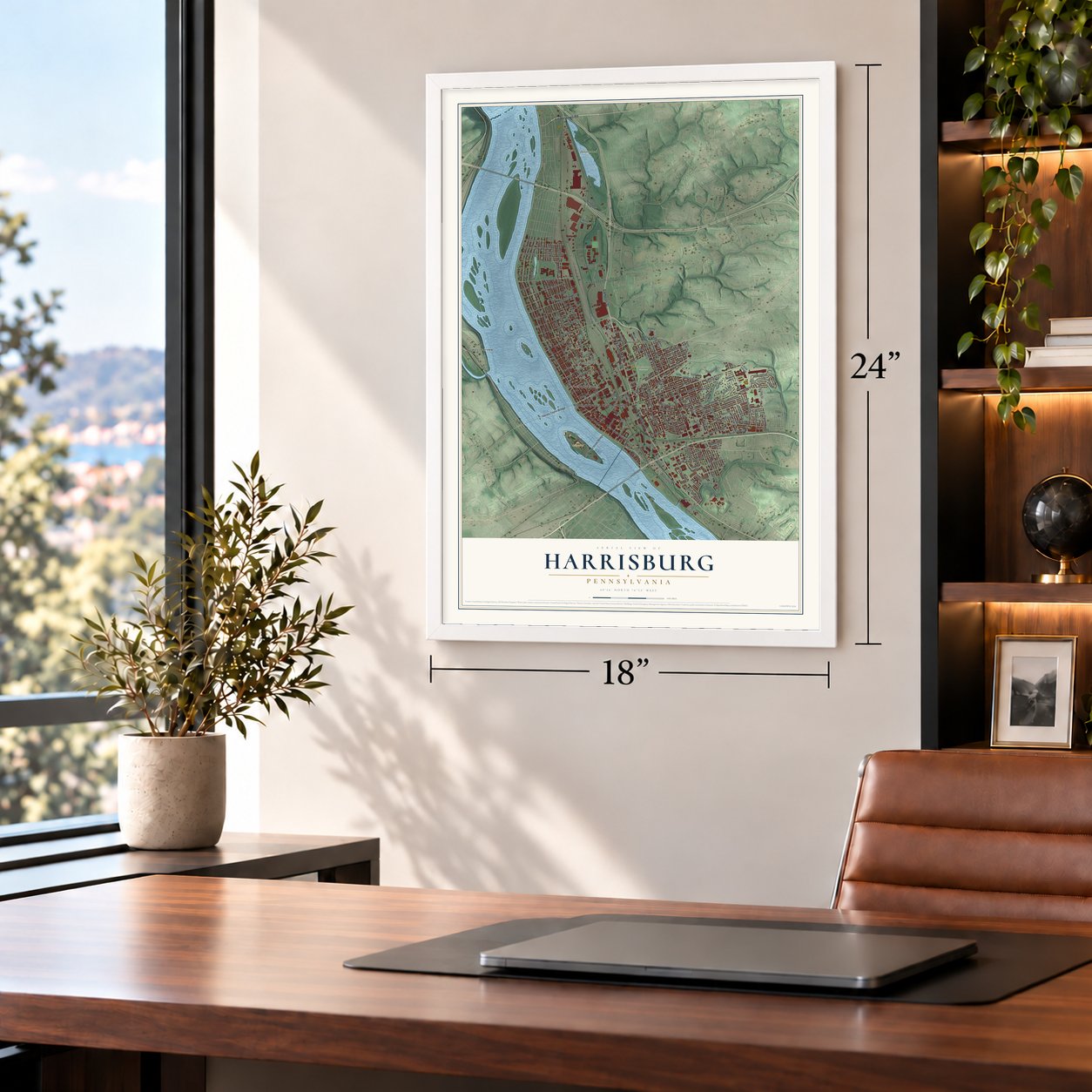
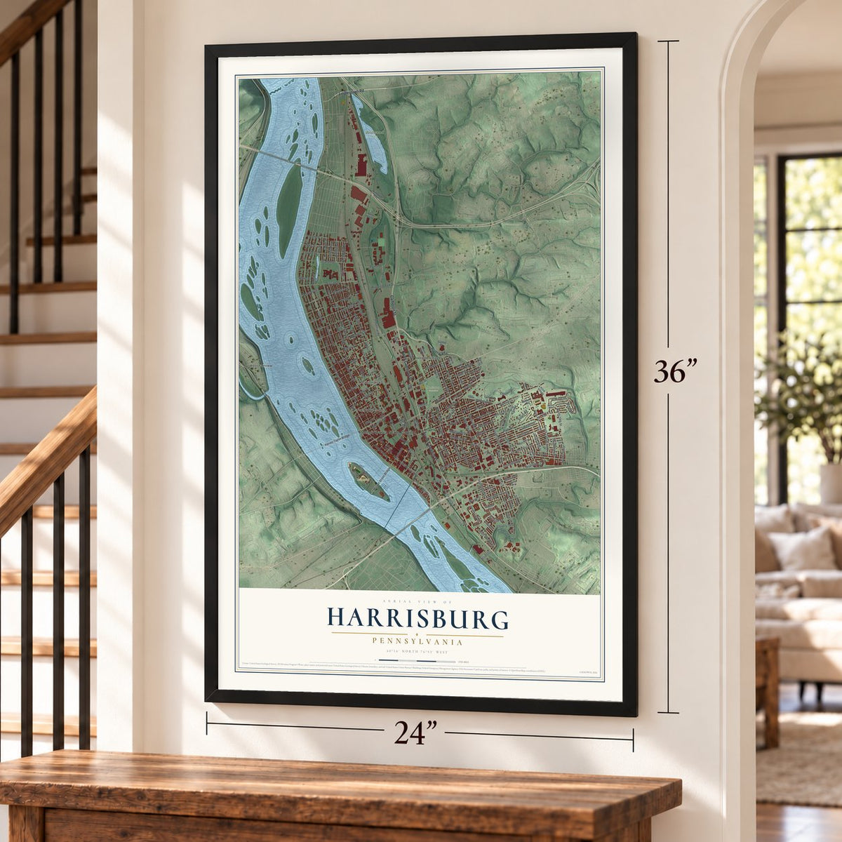
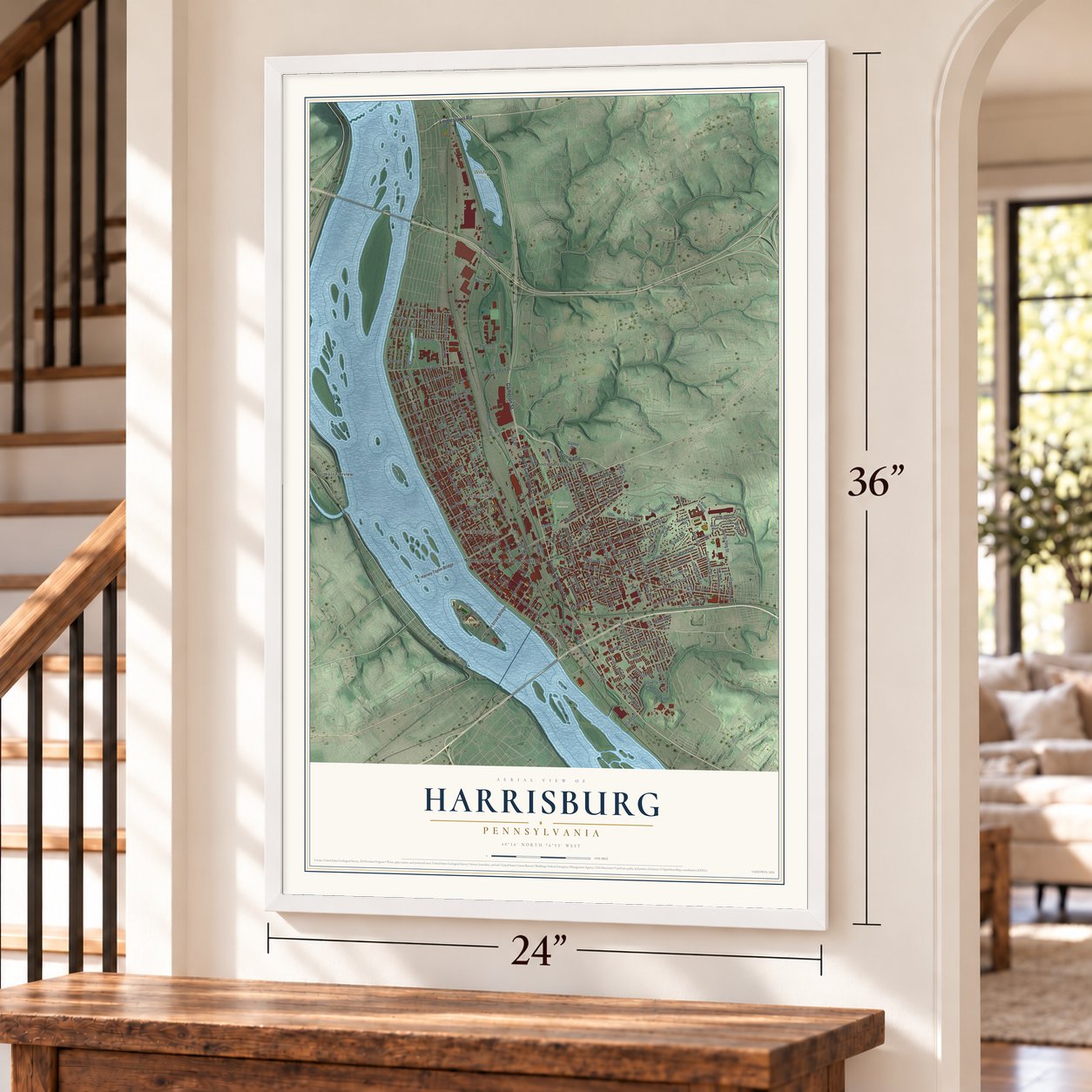
Harrisburg, Pennsylvania Map Art
Building by building, with labeled streets and shaded relief.
12" x 18" Archival Matte Print
A Map of Home. A Work of Art.
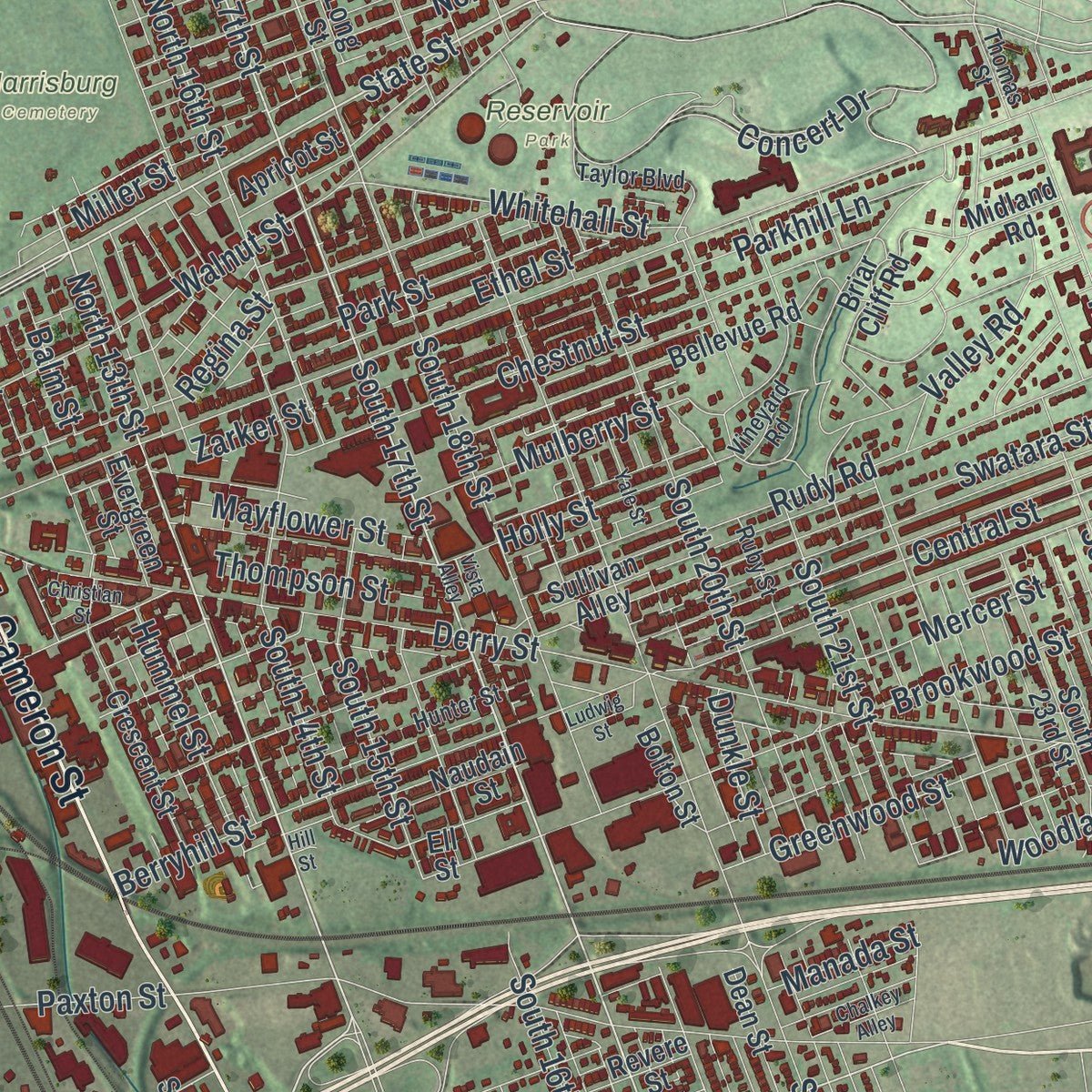
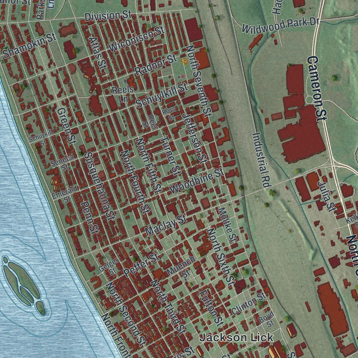
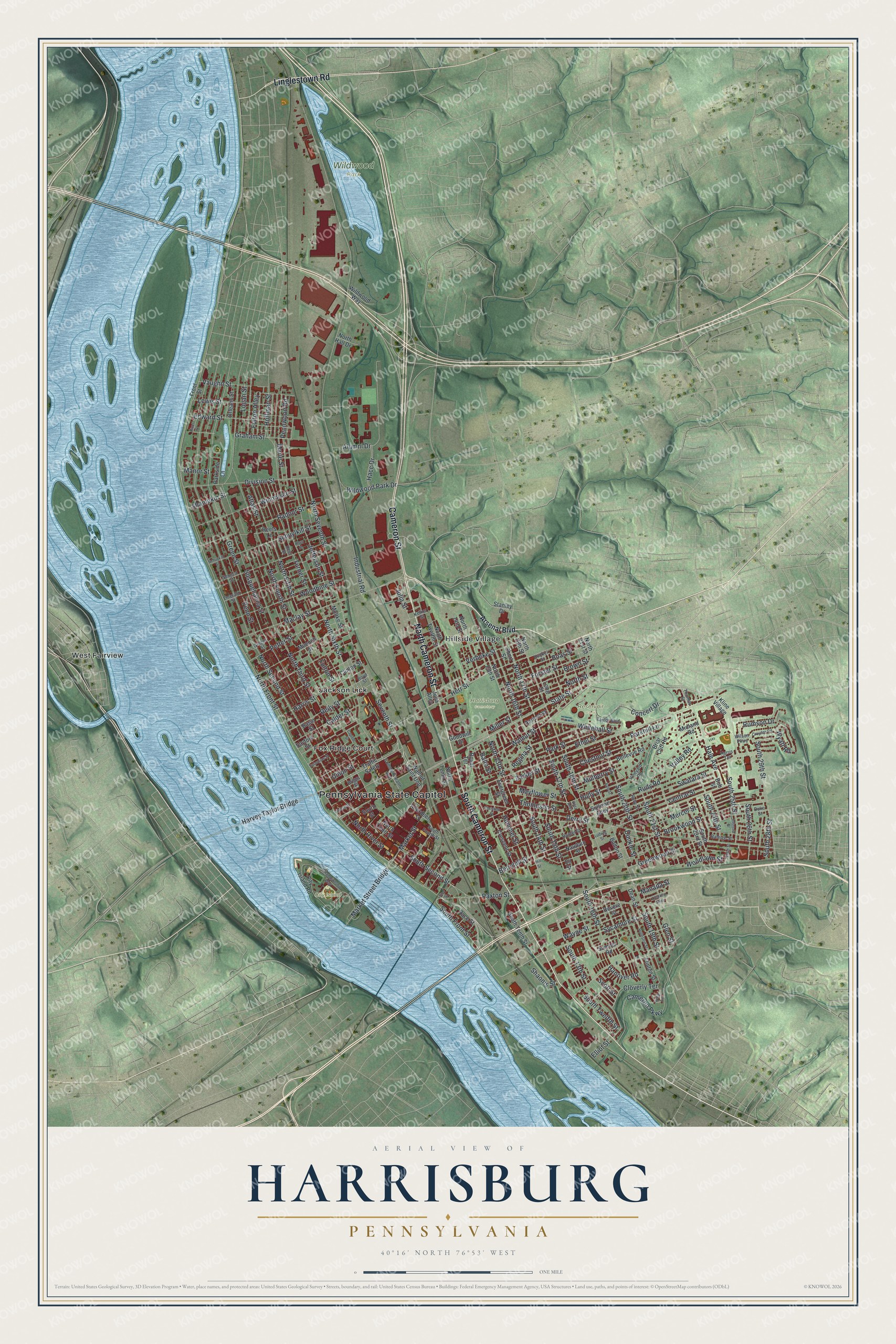
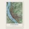
Explore Harrisburg, Pennsylvania from a whole new perspective. Created using aerial imagery and detailed geographic data, this map captures Harrisburg building by building, with labeled streets, familiar landmarks, and shaded topographical relief that highlights the natural contours of the landscape.
Combining modern data with the timeless character of a vintage atlas, this map is just as interesting up close as it is beautiful on the wall. Whether you grew up in Harrisburg, spent memorable years there, or call it home today, this unique map is a great way to celebrate a place that means something to you. Zoom in on the preview to look for your street, and then order a print to put your memories on the wall.
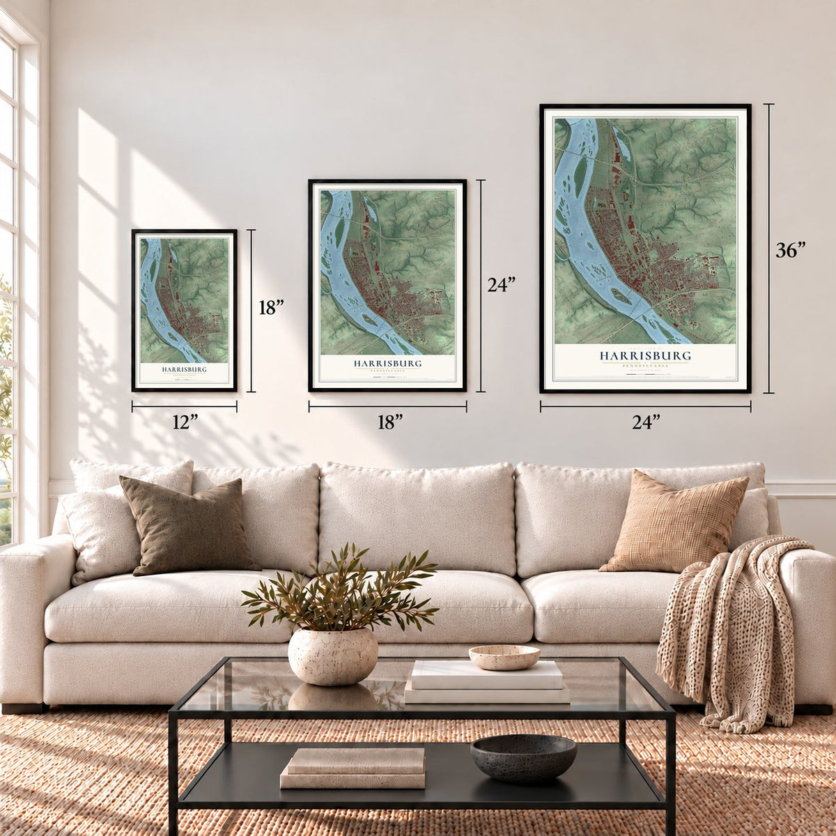
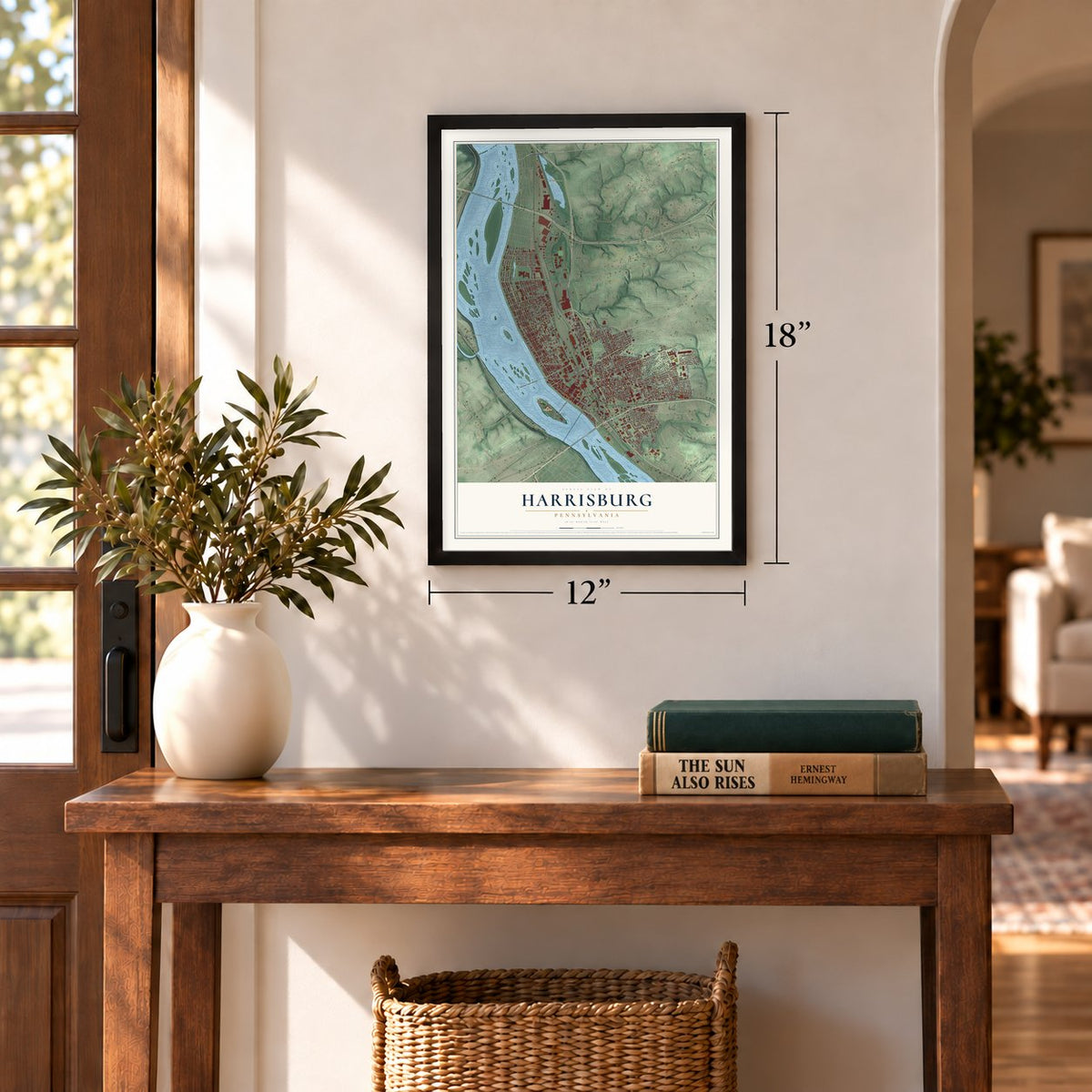
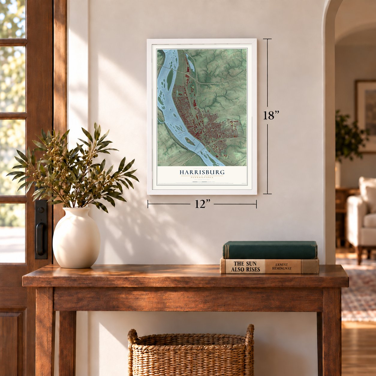
Three ways to hang it
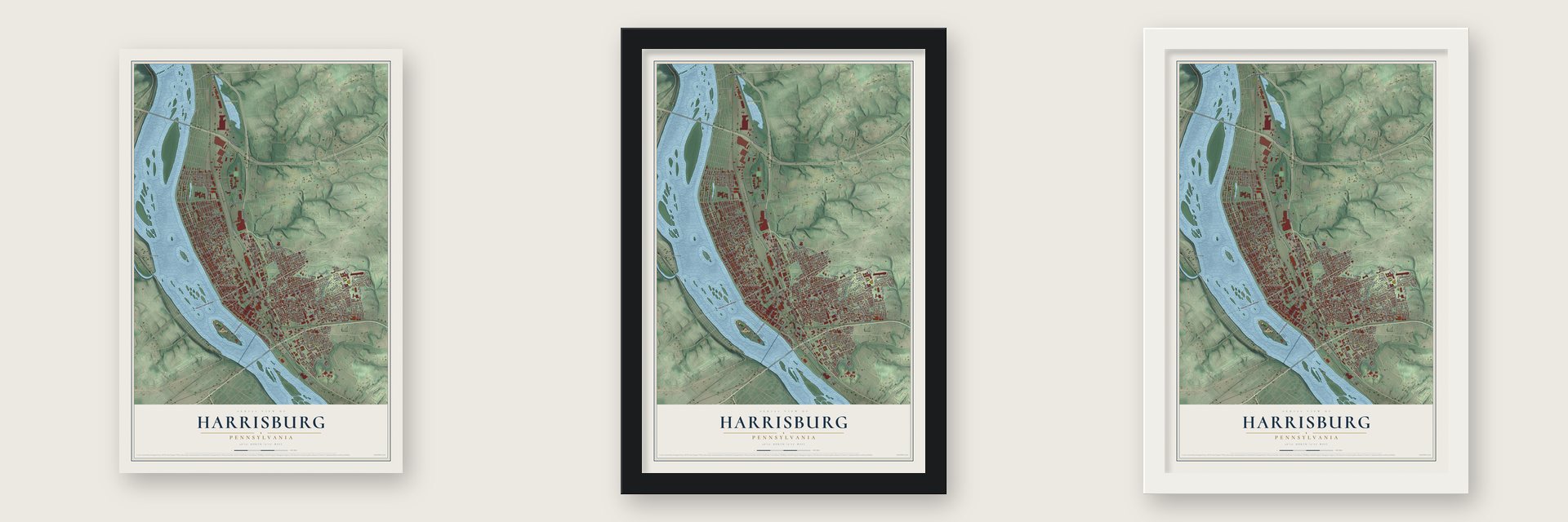
Unframed archival matte, a black wood frame or a white wood frame.
Up close
Geography Worth Displaying
This map was created using accurate cartographic data and authoritative geographic sources, including the U.S. Geological Survey and the Census Bureau. The map brings together terrain, waterways, roads, and building detail. The majority of the streets are labeled, houses are accurately depicted, and the topography is derived from government sources. Combining local data with carefully composed color and shading leads to this beautifully detailed Harrisburg artwork for your wall.
Rather than simply showing street outlines, we’ve included as many of the street names as we could reasonably fit on the map while keeping their names legible. Zoom in on the high resolution preview to see exactly what’s on the map. We truly set out to create a statement piece for anyone who loves Harrisburg. So whether it’s for you, or a gift for someone you love, we hope this map of Harrisburg brings back fond memories.
Read the story behind this map of Harrisburg, Pennsylvania from 2026.
Find your street
Names on the Harrisburg map
Every name below is printed on this map. Look for your street, your school, the park where you played, or the pond down the road.
Places and landmarks9
- Pennsylvania State Capitol
- City Island
- Harrisburg Cemetery
- Reservoir Park
- Wildwood Park
- Fox Ridge Court
- Hillside Village
- Jackson Lick
- West Fairview
Streets and roads205
- South Cameron Street
- North Cameron Street
- Cameron Street
- Linglestown Road
- State Street
- South 13th Street
- South 17th Street
- North 17th Street
- North 13th Street
- South Front Street
- Sycamore Street
- Forster Street
- Seventh Street
- Hanover Road
- Park Street
- North Front Street
- Harvey Taylor Bridge
- Herr Street
- Maclay Street
- Thompson Street
- Walnut Street
- South 14th Street
- North 16th Street
- Regina Street
- South 16th Street
- North Second Street
- Industrial Road
- North Third Street
- Green Street
- North Sixth Street
Show all 205 streets
- North Fourth Street
- Market Street
- Susquehanna Street
- Penn Street
- North Seventh Street
- Derry Street
- North Fifth Street
- Berryhill Street
- Chestnut Street
- Logan Street
- South 19th Street
- Paxton Street
- Brookwood Street
- Swatara Street
- South 18th Street
- South 20th Street
- Boas Street
- Rudy Road
- North Street
- Jefferson Street
- Mulberry Street
- Verbeke Street
- South 15th Street
- South 25th Street
- Atlas Street
- Division Street
- Alumni Drive
- Fulton Street
- South 29th Street
- Calder Street
- South 21st Street
- Market Street Bridge
- Zarker Street
- Woodbine Street
- Greenwood Street
- Wiconisco Street
- Peffer Street
- Radnor Street
- Central Street
- Cameron Parkway
- Reily Street
- Ethel Street
- Harris Street
- Parkhill Lane
- Edward Street
- Woodlawn Street
- South Second Street
- Hacc Drive
- Hale Avenue
- Marie Street
- Rumson Drive
- Concert Drive
- Miller Street
- Schuylkill Street
- South 24th Street
- Whitehall Street
- Graham Street
- Lewis Street
- Mercer Street
- Vaughn Street
- Hoffman Street
- Turner Street
- Holly Street
- Brown Street
- Hummel Street
- Wildwood Park Drive
- Wayne Street
- Cloverly Terrace
- Valley Road
- South 26th Street
- South Twelfth Street
- North River Street
- Mayflower Street
- Pennwood Road
- Manada Street
- Fulton Alley
- South 28th Street
- Julia Street
- Shamokin Street
- Union Street
- Dunkle Street
- Glen Street
- Shaonis Street
- Wyatt Road
- Balm Street
- Manor Street
- Scott Street
- Elliot Street
- Arsenal Boulevard
- Walnut Saint Unp
- Stanley Drive
- Traffic Safety
- North 18th Street
- Bolton Street
- North 15th Street
- Bellevue Road
- Muench Street
- North Twelfth Street
- North 14th Street
- Clinton Street
- Dean Street
- Evergreen Street
- City Island Road
- Sullivan Alley
- Moltke Street
- South 23rd Street
- South Tenth Street
- Flinton Street
- Sayford Street
- Revere Street
- Midland Road
- Crescent Street
- North Tenth Street
- Apricot Street
- South Street
- Briar Cliff Road
- Naudain Street
- North Court Street
- Basin Street
- Long Street
- Front Street
- Parkside Lane
- Orleans Street
- Reels Lane
- Race Street
- Wildwood Way
- Kline Village
- Sumner Road
- North Hall Drive
- Aberdeen Street
- Julia Alley
- Goodwill Drive
- North 21st Street
- Royal Terrace
- Bob Street
- Short Street
- Ell Street
- Vineyard Road
- Kelker Street
- Briggs Street
- Emerald Street
- Seneca Street
- Hunter Street
- Geiger Street
- Commonwealth Avenue
- Reel Street
- Kunkel Street
- Boyd Street
- Raleigh Street
- Wilson Parkway
- Duke Street
- Taylor Boulevard
- Ivey Lane
- South Fourth Street
- Ruby Street
- Harris Terrace
- Thomas Street
- Liberty Street
- Rolleston Street
- Sassafras Street
- River Street
- Capitol Street
- Schuykill Street
- Croyden Road
- Vine Street
- Championship Way
- Ross Street
- Vista Alley
- Chalkey Alley
- Elder Street
- Yale Street
- Johnson Street
- Christian Street
- Ludwig Street
- Hill Street
Names are listed as they appear on the printed map. Zoom into the product photos to find them.
About Harrisburg, Pennsylvania
Harrisburg is the capital of Pennsylvania, a city of 50,099 people and the seat of Dauphin County, on the east bank of the Susquehanna River. John Harris Sr., an English trader, settled here in 1719, and in December 1733 he won the right to run a ferry across the river. Pioneers bound west left their boats at his landing to start the overland trip through the mountains, and the place went by the name Harris' Ferry for more than 50 years.
In 1785 his son, John Harris Jr., laid out a town on his father's land and named it Harrisburg, and William Maclay, the elder Harris's son-in-law, surveyed it that spring. Harris Jr. also reserved a four-acre lot for the state. The town was incorporated in 1791. In 1810 the Legislature accepted the gift and picked Harrisburg as the capital, lawmakers began meeting here in 1812, and in 1822 they moved into a brick capitol that cost $200,000.
- A new Capitol in 1906Fire destroyed the brick capitol on February 2, 1897. The Legislature moved into Grace Methodist Church on State Street while a replacement was planned. Joseph M. Huston designed the new building, crews put it up from 1902 to 1906, and the Pennsylvania State Capitol was dedicated on October 4, 1906.
- Camp Curtin, 1861When the Civil War began, the Union opened Camp Curtin here on April 18, 1861, naming it for Governor Andrew Gregg Curtin. Tens of thousands of soldiers trained and passed through the camp on their way to the war.
- The Confederates turned backIts railroads made Harrisburg a target. In 1863 Robert E. Lee sent Lt. Gen. Richard S. Ewell's Second Corps to capture it. Union troops under Maj. Gen. Darius N. Couch fought them in skirmishes such as Sporting Hill in Camp Hill. Ewell couldn't break the defenses or cross the swollen Susquehanna, so he retreated south, and no Confederate army came farther north. On July 3, 1863, the city heard cannon fire opening Pickett's Charge at Gettysburg, almost 40 miles away.
- The first church, 1787In 1785 John Harris granted land in the new town for religious use. A log church went up on it in 1787, the first church building in present-day Harrisburg, and in 1822 the congregation replaced it with the church that still stands there.
- Farm Show since 1917The Pennsylvania Farm Show opened in Harrisburg in 1917 and has returned every January since. It has grown into the biggest indoor agricultural show in the country.
Keep exploring Pennsylvania
Harrisburg is one of 3,725 Pennsylvania towns we've mapped. Every dot on the map is a print of its own.
The search covers every state, Pennsylvania first.
Near Harrisburg
Order 2 or more town maps and save 10%. Shown in the size and finish you picked above, so they hang as a set.
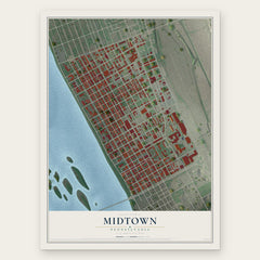
- Midtown 12" x 18" / Archival Matte Print $39.99
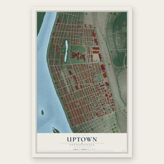
- Uptown 12" x 18" / Archival Matte Print $39.99
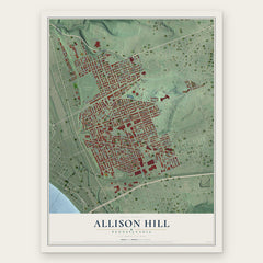
- Allison Hill 12" x 18" / Archival Matte Print $39.99
More maps nearby: Wormleysburg, West Fairview, Penbrook, East Harrisburg and West Creek Hills.
The art of mapping a place
How This Map Was Made
Real places. Remarkable detail. Discover the layers that turn geographic data into a map of home.

The view from above
Aerial imagery reveals the character of the land: woodland, open fields, and the patterns of a place.

The shape of the land
Elevation data brings hills, valleys, and subtle changes in the landscape into view.

The details of home
Roads, waterways, and building footprints come together to make the map feel unmistakably local.

Geography becomes art
Considered color, shading, and typography bring the layers together in a map made for your wall.


Process illustrated with Mendon, Massachusetts. Aerial imagery: USDA NAIP. Terrain: USGS 3D Elevation Program. Map details and finished artwork: KNOWOL.
The Details
About This Print
Choose an archival matte print, or a black or white Ayous wood frame. The archival matte print is unframed.
Select your size and finish above to see the matching product image and price.
Materials & Craftsmanship
A contemporary map with the character of a classic atlas, printed on archival matte paper. Optional frames are made from Ayous wood.
Your printed map does not include the watermark shown in the full-map preview.
Shipping & Delivery
Free shipping within the United States. Every print is made to order in the USA.
Buying a gift? Add a note in your cart and we'll include it. We never put prices in the package.
Prints ship within 2 to 3 business days. Allow 7 to 10 days total from ordering for delivery. Timing may vary during holidays or periods of high order volume.
Read our shipping policy.
Returns and damaged prints
Each print is made to order. Change-of-mind refunds are not available after production.
If your print arrives damaged, misprinted or incorrect, contact support@knowol.com within 30 days of receiving it. Include your order number, photos and a description of the issue.
Read our full refund and replacement policy. For questions about your order, email support@knowol.com.