
Search for another town
Free U.S. delivery 7 to 10 days after you order
Hartsville, South Carolina Map Art
Building by building, with labeled streets and shaded relief.
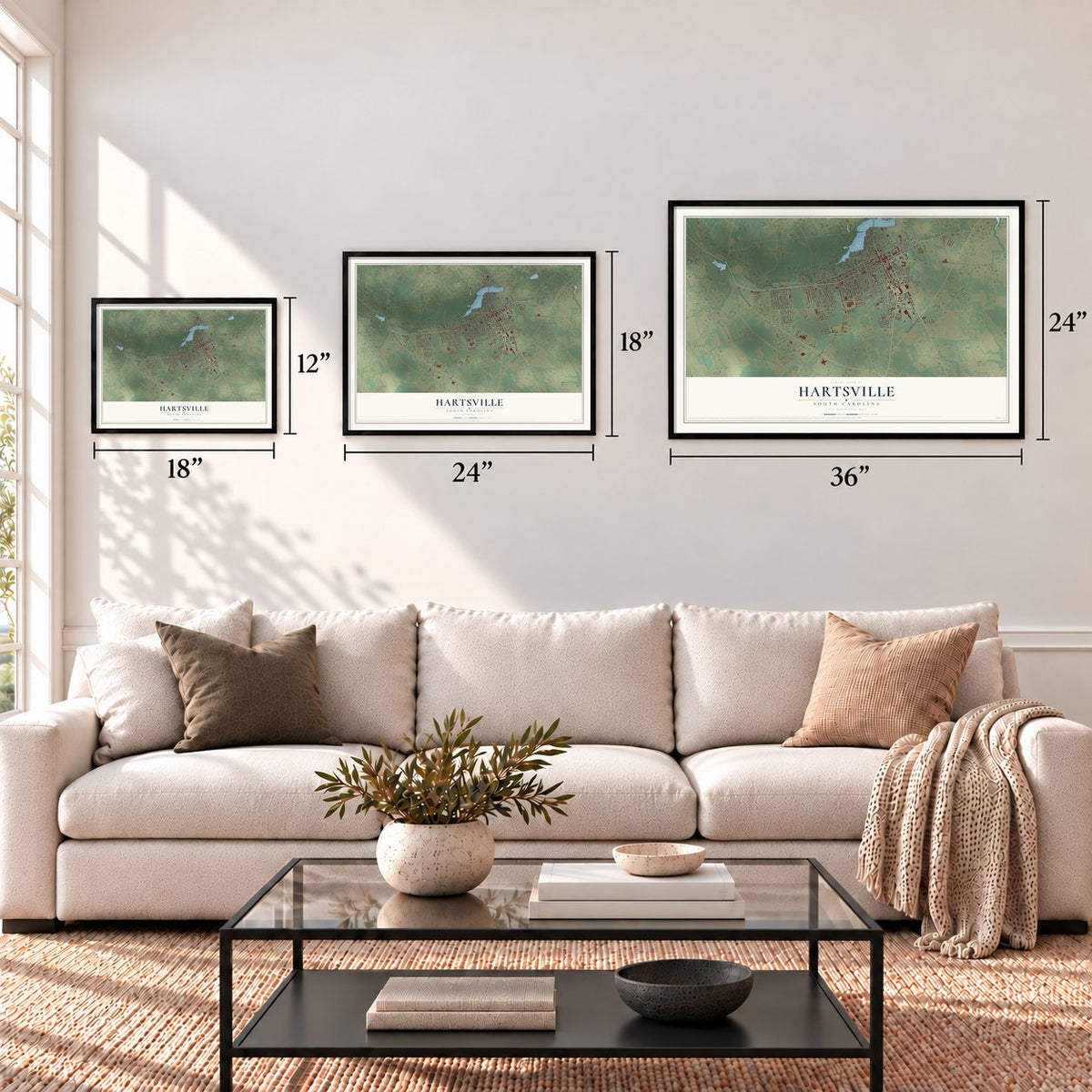
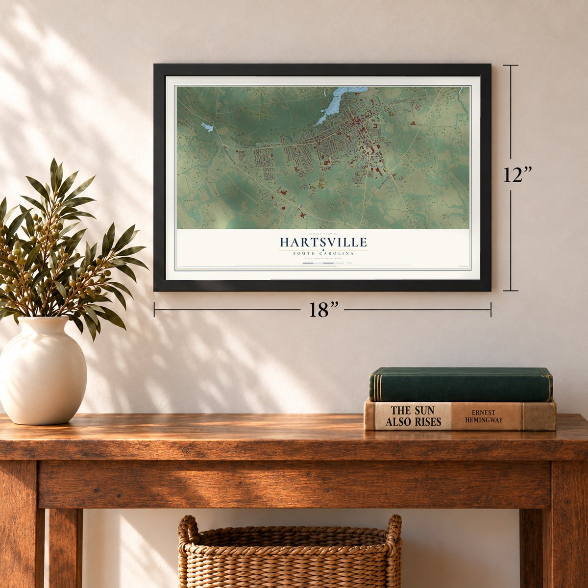
12" x 18" Archival Matte Print
A Map of Home. A Work of Art.
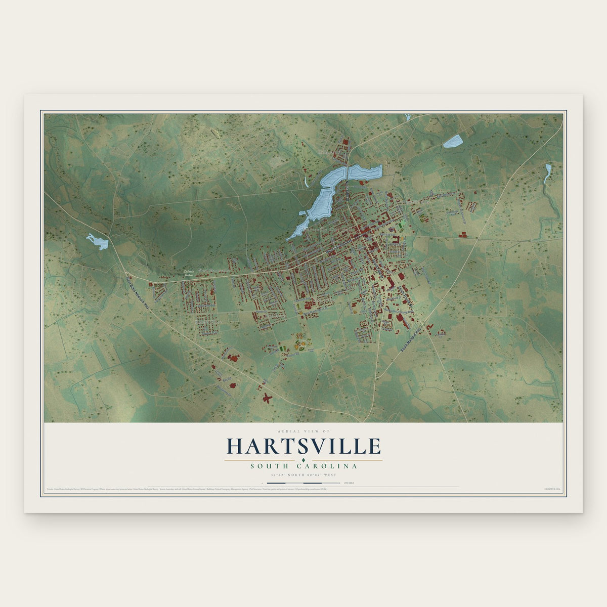
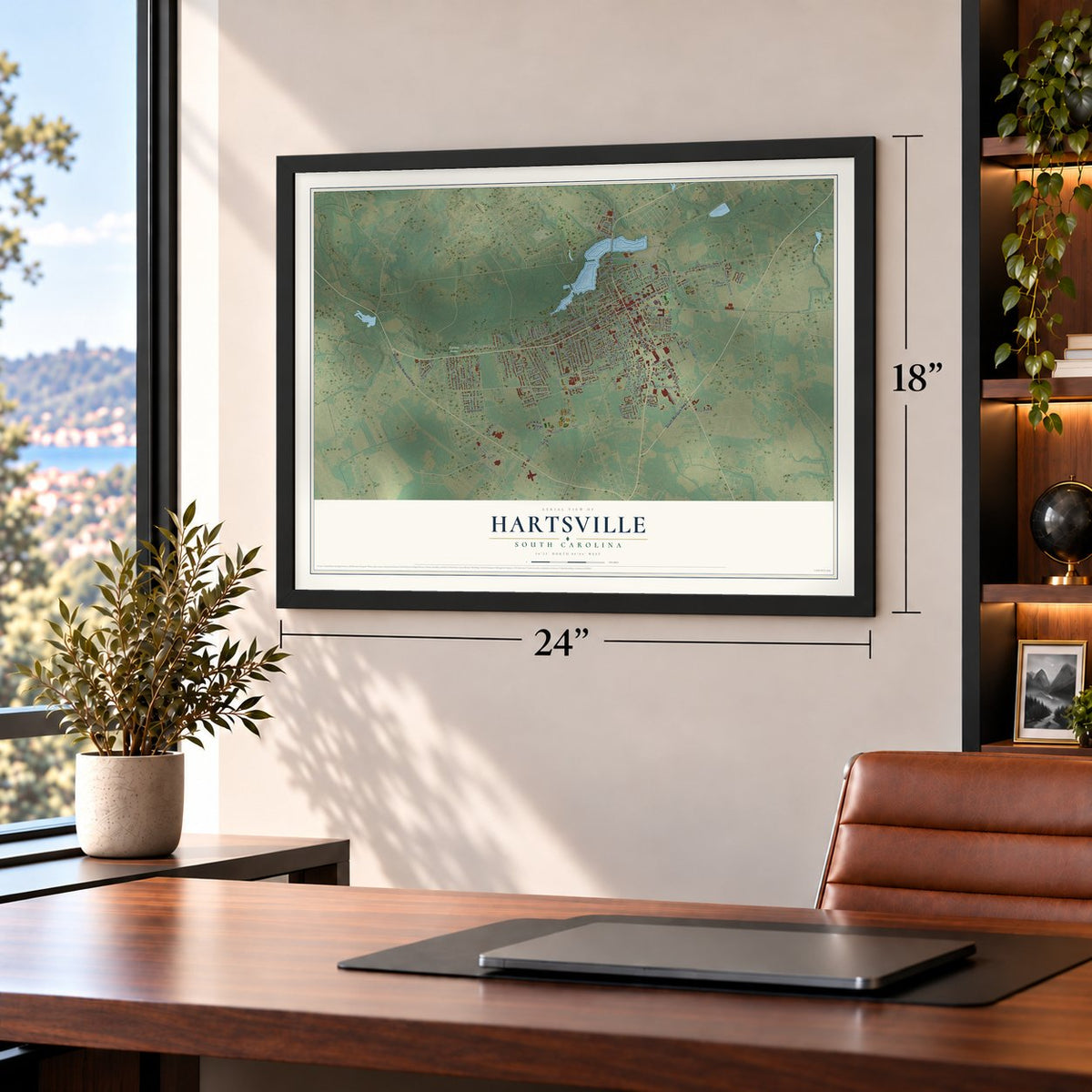
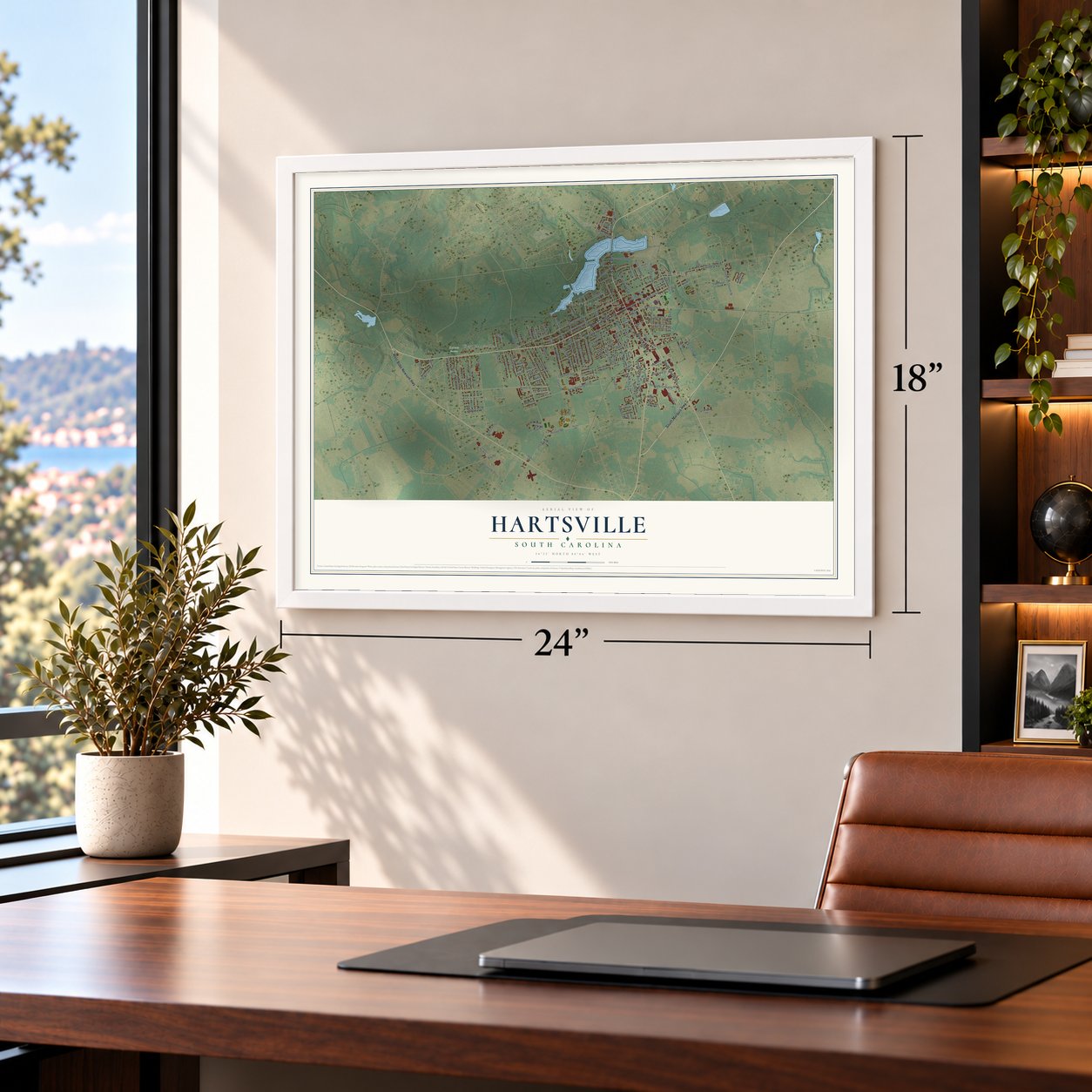
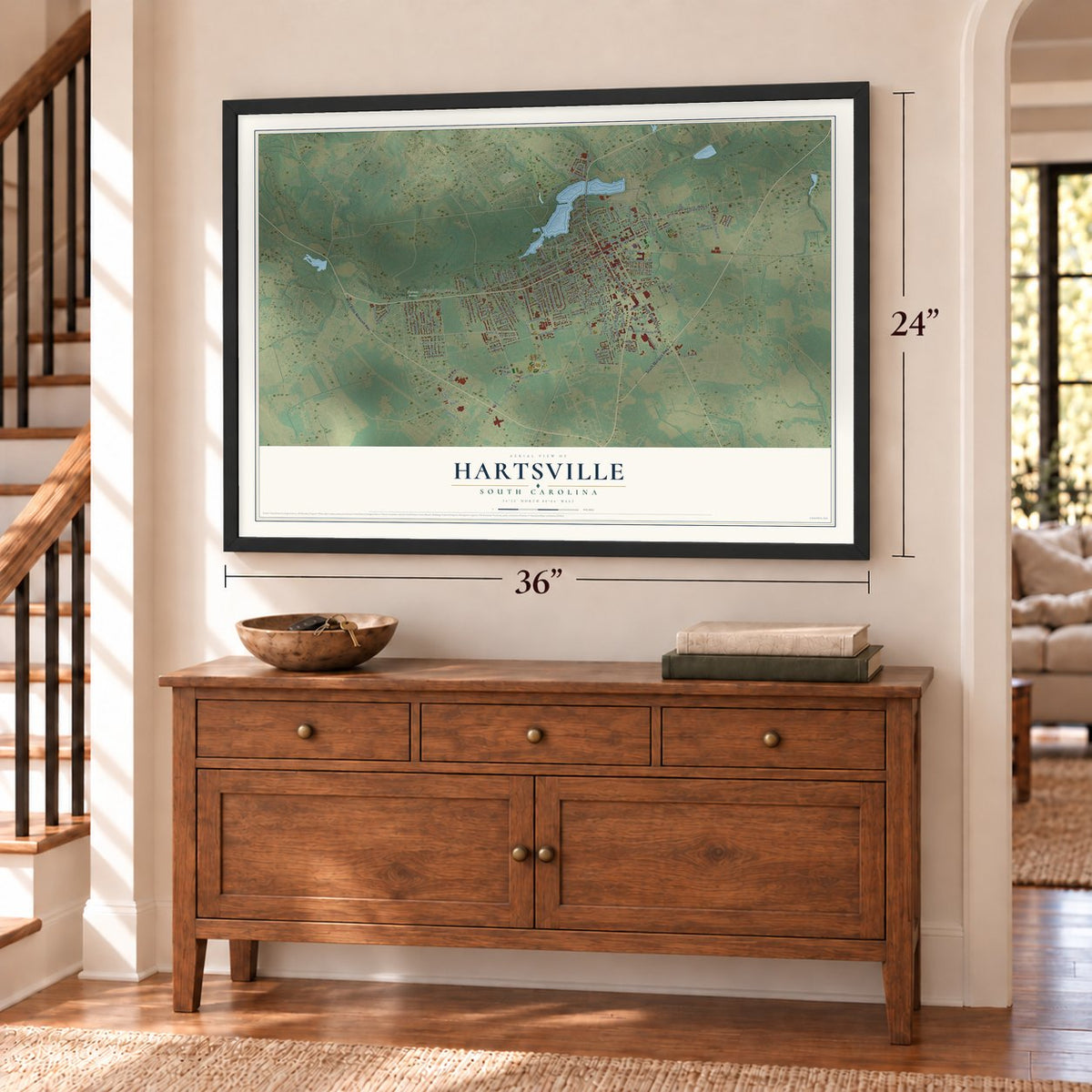
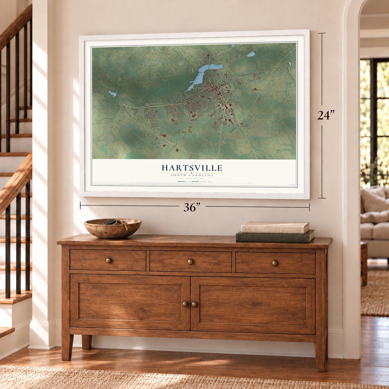
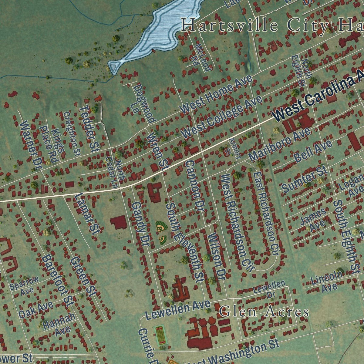
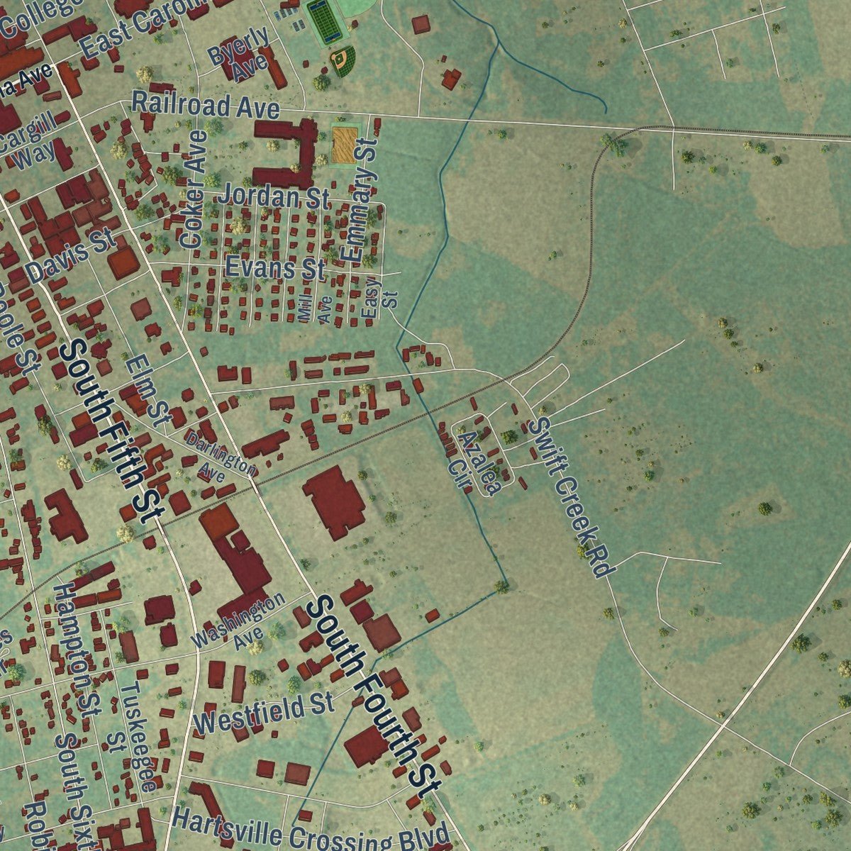
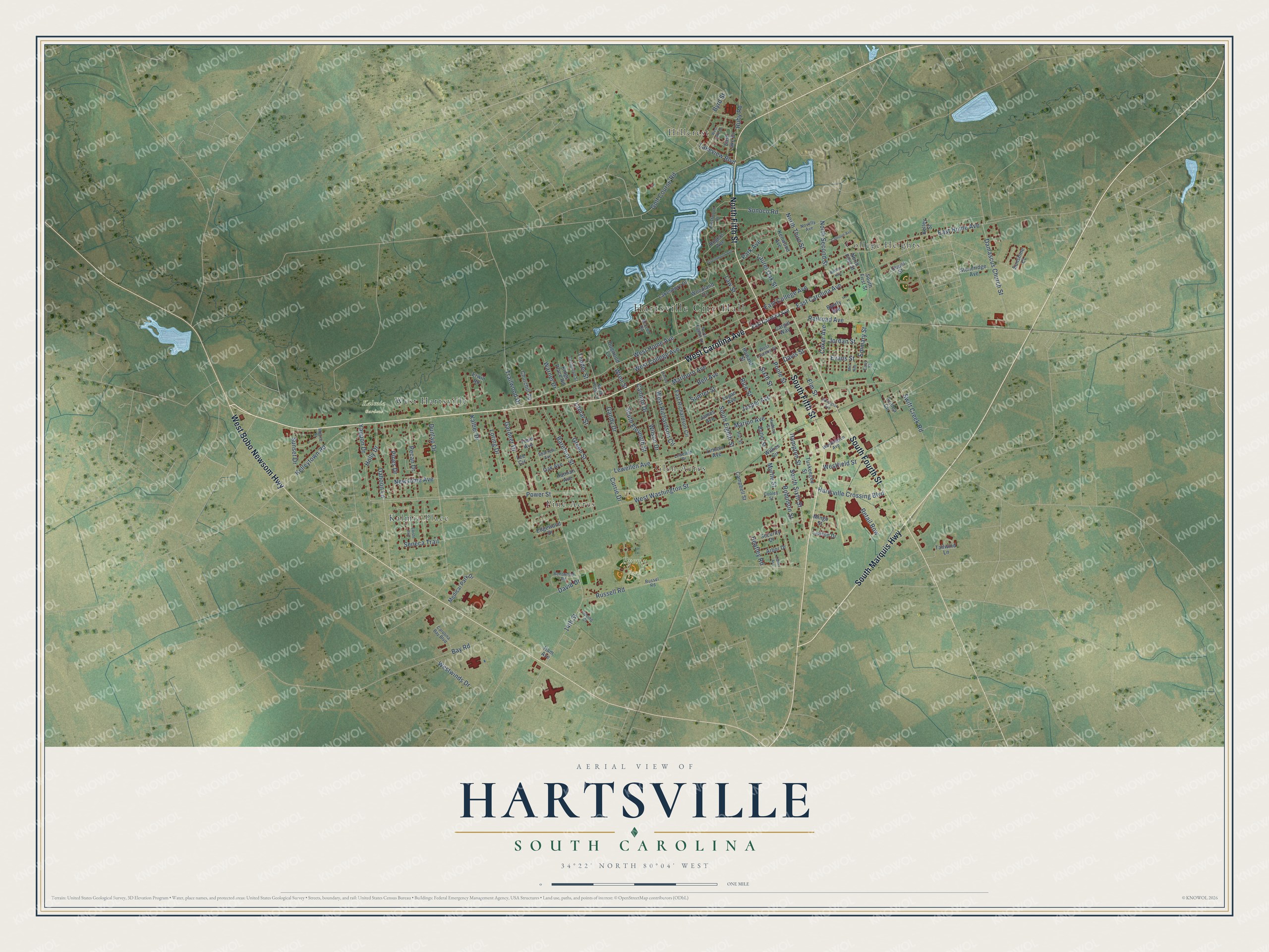
Explore Hartsville, South Carolina from a whole new perspective. Created using aerial imagery and detailed geographic data, this map captures Hartsville building by building, with labeled streets, familiar landmarks, and shaded topographical relief that highlights the natural contours of the landscape.
Combining modern data with the timeless character of a vintage atlas, this map is just as interesting up close as it is beautiful on the wall. Whether you grew up in Hartsville, spent memorable years there, or call it home today, this unique map is a great way to celebrate a place that means something to you. Zoom in on the preview to look for your street, and then order a print to put your memories on the wall.
Three ways to hang it
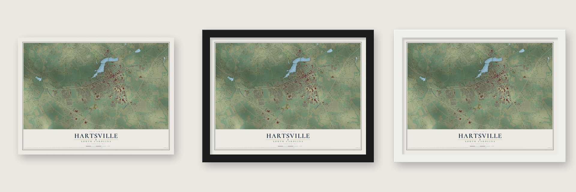
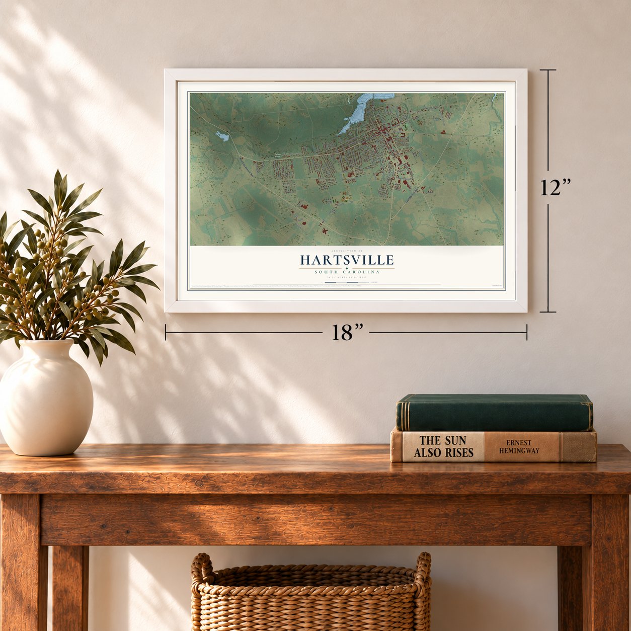
Unframed archival matte, a black wood frame or a white wood frame.
Up close
Geography Worth Displaying
This map was created using accurate cartographic data and authoritative geographic sources, including the U.S. Geological Survey and the Census Bureau. The map brings together terrain, waterways, roads, and building detail. The majority of the streets are labeled, houses are accurately depicted, and the topography is derived from government sources. Combining local data with carefully composed color and shading leads to this beautifully detailed Hartsville artwork for your wall.
Rather than simply showing street outlines, we’ve included as many of the street names as we could reasonably fit on the map while keeping their names legible. Zoom in on the high resolution preview to see exactly what’s on the map. We truly set out to create a statement piece for anyone who loves Hartsville. So whether it’s for you, or a gift for someone you love, we hope this map of Hartsville brings back fond memories.
Read the story behind this map of Hartsville, South Carolina from 2026.
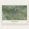
Find your street
Names on the Hartsville map
Every name below is printed on this map. Look for your street, your school, the park where you played, or the pond down the road.
Places and landmarks9
- Hartsville City Hall
- Byerly Park
- Kalmia Gardens
- College Heights
- Glen Acres
- Hillcrest
- Kalmia Place
- Pine Acres
- West Hartsville
Streets and roads148
- West Carolina Avenue
- South Marquis Highway
- South Fourth Street
- South Fifth Street
- North Fifth Street
- West Bobo Newsom Highway
- Lewellen Avenue
- 14th Street
- East Home Avenue
- West Home Avenue
- Power Street
- West Washington Street
- Sixth Street
- South Sixth Street
- West College Avenue
- East Carolina Avenue
- Railroad Avenue
- Marlboro Avenue
- Hartsville Crossing Boulevard
- Swift Creek Road
- South Eighth Street
- Barefoot Street
- Retail Row
- Myrtle Street
- Dunlap Drive
- Damascus Church Street
- Russell Road
- East College Avenue
- Golf Course Road
- Poole Street
Show all 148 streets
- Jasper Avenue
- Sumter Street
- Robinson Street
- Kelleytown Road
- Holly Drive
- South Eleventh Street
- Coker Avenue
- Pecan Drive
- Green Street
- Loring Drive
- Gandy Drive
- Marion Avenue
- North Second Street
- Bell Avenue
- West Richardson Circle
- Bay Road
- Pines Drive
- North Third Street
- Gardner Drive
- Trailwood Drive
- Evans Street
- Hampton Street
- Lakeview Boulevard
- Byrd Street
- Sonoco Road
- Warner Drive
- Law Street
- Davis Street
- Emmary Street
- Dahoon Lane
- Park Avenue
- Elm Street
- Westwinds Drive
- Rice Street
- Sunset Drive
- Jordan Street
- Laurel Oak Street
- Westfield Street
- Newsome Avenue
- Seneca Trail
- Ruby Road
- Wilson Drive
- Kalber Drive
- Cannon Drive
- Yaupon Drive
- David Drive
- Currie Drive
- Heatley Road
- Tedder Street
- Wren Street
- Lamar Street
- Campbell Street
- Medical Park Drive
- Woodland Drive
- Kenwood Avenue
- East Richardson Circle
- Howard Street
- Erwin Road
- Lakeshore Drive
- Edgewood Drive
- Lincoln Avenue
- James Avenue
- Logan Avenue
- South First Street
- Azalea Circle
- Tuskeegee Street
- North First Street
- Oak Avenue
- Stoneridge Avenue
- Tailwind Lane
- East Lake Drive
- Rogers Avenue
- Churchill Road
- Butler Street
- Security Drive
- Kelley Street
- Arbor Drive
- Lawton Drive
- Sunshine Court
- Kings Place Road
- Wilkes Circle
- Dogwood Lane
- Cargill Way
- Lee Circle
- Byerly Avenue
- Field Avenue
- Hannah Avenue
- Mingo Street
- Depot Street
- Ham Avenue
- Lewellen Drive
- North Cedar Lane
- Russel Road
- Prestwood Drive
- Carolina Bay Boulevard
- Cooley Street
- Bentwood Road
- Novelty Avenue
- Washington Avenue
- Easy Street
- Creighton Street
- Sparrow Avenue
- Hudson Street
- McLeod Road
- North Eighth Street
- West Laurens Street
- Moore Street
- Pitt Street
- Spring Court
- West Lake Drive
- Calhoun Avenue
- Darlington Avenue
- Edisto Run
- Greenwood Avenue
- Mill Avenue
- Bedford Avenue
- Carter Avenue
- Armory Street
Names are listed as they appear on the printed map. Zoom into the product photos to find them.
About Hartsville, South Carolina
Hartsville is a city of 7,446 people in Darlington County, the largest city in the county, with Prestwood Lake on its northern edge. Settlement here began around 1760, and the town carries the name of Captain Thomas E. Hart, who came to own most of the land. Hart built up a profitable trading business, but the depression of 1837 and 1838 cost him the business and his land alike.
In 1845 his son, John Lide Hart, bought 495 acres from Colonel Law in what is now downtown. There he set up a carriage factory, a steam sawmill, a grist mill, a general store and Hartsville Baptist Church. Caleb Coker bought the carriage factory in 1855 for his son, James Lide Coker, who moved to Hartsville in 1857.
- A railroad of their ownJames Lide Coker meant to try farming methods he had studied at Harvard College, but the Civil War came first. He served as a Confederate major and came home wounded to a ruined plantation. As he rebuilt, he opened a seed company, an oil mill, a fertilizer plant, a bank and a general store. No other local businessmen would help build a rail spur, so the Cokers built the Hartsville Railroad themselves and finished it in 1889.
- Chartered in 1891The town got its first charter on December 11, 1891, at a time when its businesses were booming. W. K. Bell took the oath as the first mayor in 1892. He served only part of a term, and Major Coker followed him in the office.
- A school and a paper companyCoker founded Welsh Neck High School, which grew into Coker University. He also started the Southern Novelty Company, which joined with the Carolina Fiber Company to become Sonoco Products Company. Sonoco grew into a worldwide business on the Fortune 500 list and is still one of the largest employers in the Hartsville area.
- A 1938 pavilion on the lakeThe city built the pavilion at Lawton Park in 1938 with money from the Works Progress Administration, on 3.5 acres beside Prestwood Lake. It is a New Deal recreation building, restored in 2007 and 2008, and Lawton Park and Pavilion is listed on the National Register.
- Pride Park's schoolhousePride Park stands where the Hartsville Graded School, the town's first public school for Black children, taught from about 1900 to 1921. The later Butler School there was named for its longtime principal, the Rev. Henry H. Butler. In 1922 the Rev. T.J. James began a Sunday school on the site that became Mt. Pisgah Presbyterian Church, and he opened a nursery school in the old building. His family gave the land for the park, which opened in 1986.
Keep exploring South Carolina
Hartsville is one of 540 South Carolina towns we've mapped. Every dot on the map is a print of its own.
The search covers every state, South Carolina first.
Near Hartsville
Order 2 or more town maps and save 10%. Shown in the size and finish you picked above, so they hang as a set.
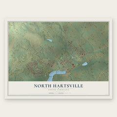
- North Hartsville 12" x 18" / Archival Matte Print $39.99
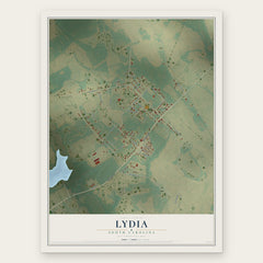
- Lydia 12" x 18" / Archival Matte Print $39.99
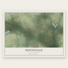
- Dovesville 12" x 18" / Archival Matte Print $39.99
More maps nearby: McBee, Darlington, Lamar, Bishopville and Patrick.
The art of mapping a place
How This Map Was Made
Real places. Remarkable detail. Discover the layers that turn geographic data into a map of home.

The view from above
Aerial imagery reveals the character of the land: woodland, open fields, and the patterns of a place.

The shape of the land
Elevation data brings hills, valleys, and subtle changes in the landscape into view.

The details of home
Roads, waterways, and building footprints come together to make the map feel unmistakably local.

Geography becomes art
Considered color, shading, and typography bring the layers together in a map made for your wall.


Process illustrated with Mendon, Massachusetts. Aerial imagery: USDA NAIP. Terrain: USGS 3D Elevation Program. Map details and finished artwork: KNOWOL.
The Details
About This Print
Choose an archival matte print, or a black or white Ayous wood frame. The archival matte print is unframed.
Select your size and finish above to see the matching product image and price.
Materials & Craftsmanship
A contemporary map with the character of a classic atlas, printed on archival matte paper. Optional frames are made from Ayous wood.
Your printed map does not include the watermark shown in the full-map preview.
Shipping & Delivery
Free shipping within the United States. Every print is made to order in the USA.
Buying a gift? Add a note in your cart and we'll include it. We never put prices in the package.
Prints ship within 2 to 3 business days. Allow 7 to 10 days total from ordering for delivery. Timing may vary during holidays or periods of high order volume.
Read our shipping policy.
Returns and damaged prints
Each print is made to order. Change-of-mind refunds are not available after production.
If your print arrives damaged, misprinted or incorrect, contact support@knowol.com within 30 days of receiving it. Include your order number, photos and a description of the issue.
Read our full refund and replacement policy. For questions about your order, email support@knowol.com.