
Search for another town





Free U.S. delivery 7 to 10 days after you order
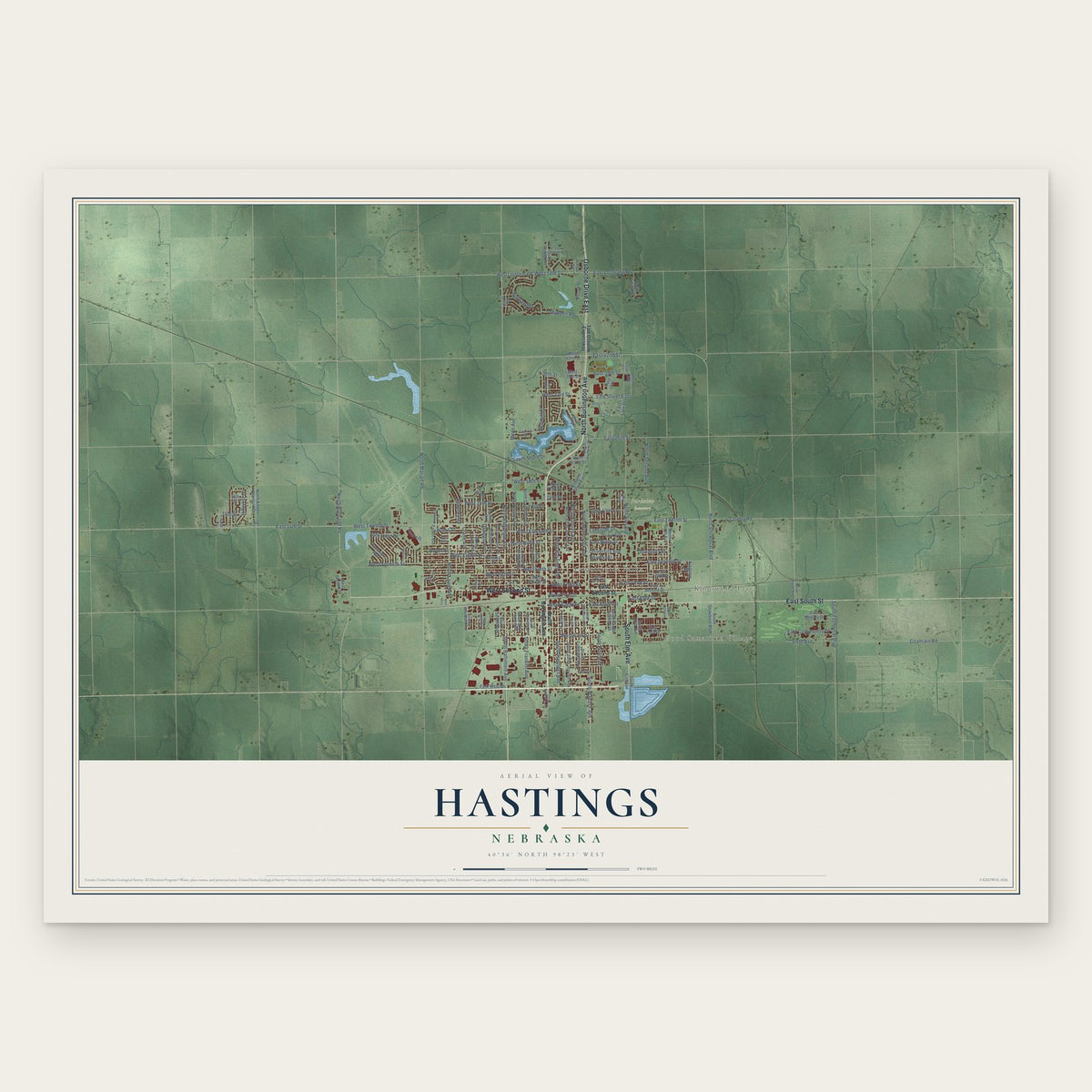
Hastings, Nebraska Map Art
A new map of Hastings, Nebraska, made in 2026 and printed to order on thick archival matte paper.
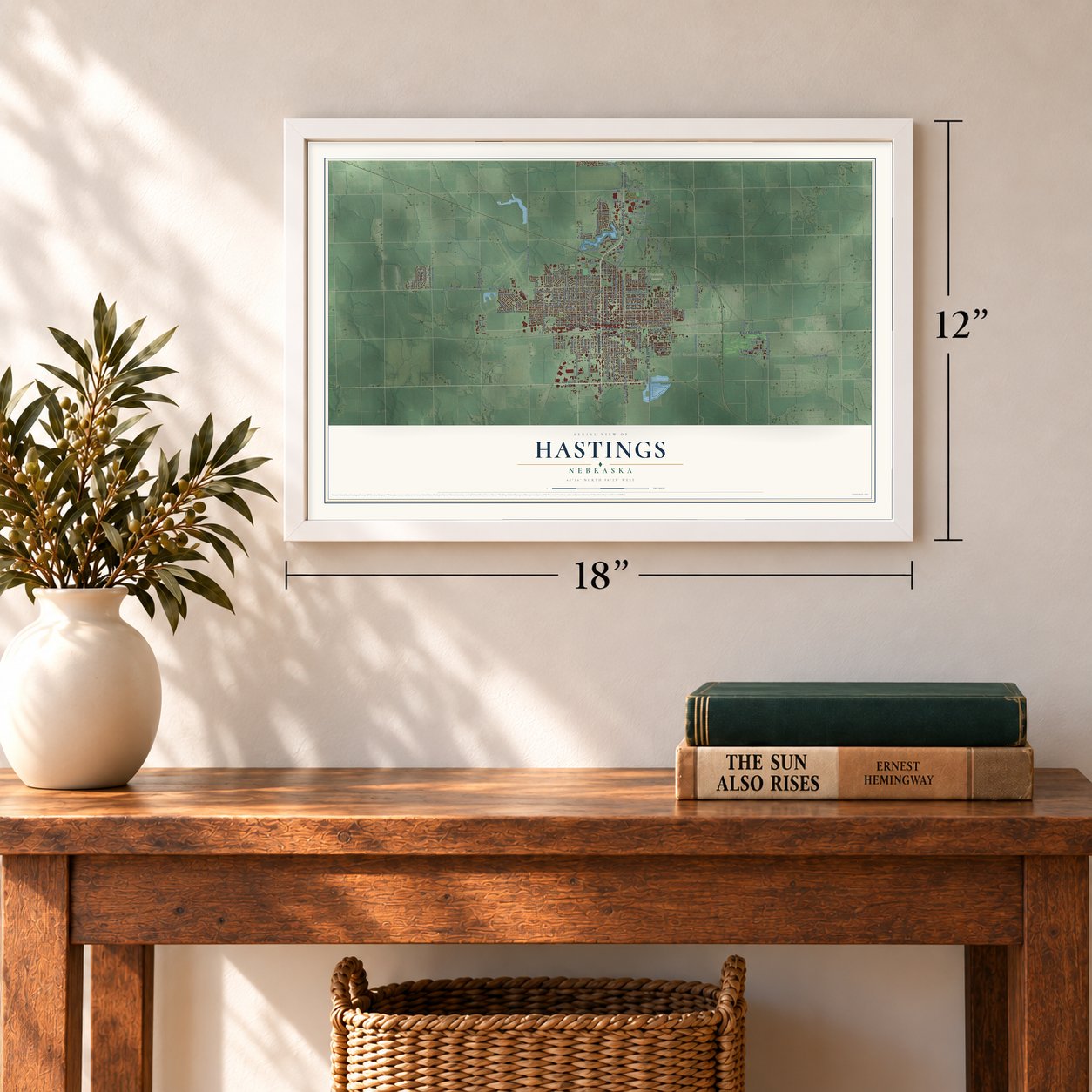
12" x 18" Archival Matte Print
A Map of Home. A Work of Art.
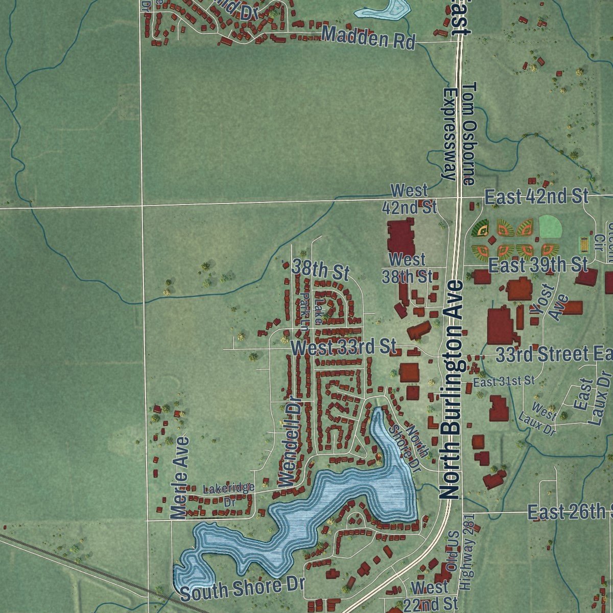
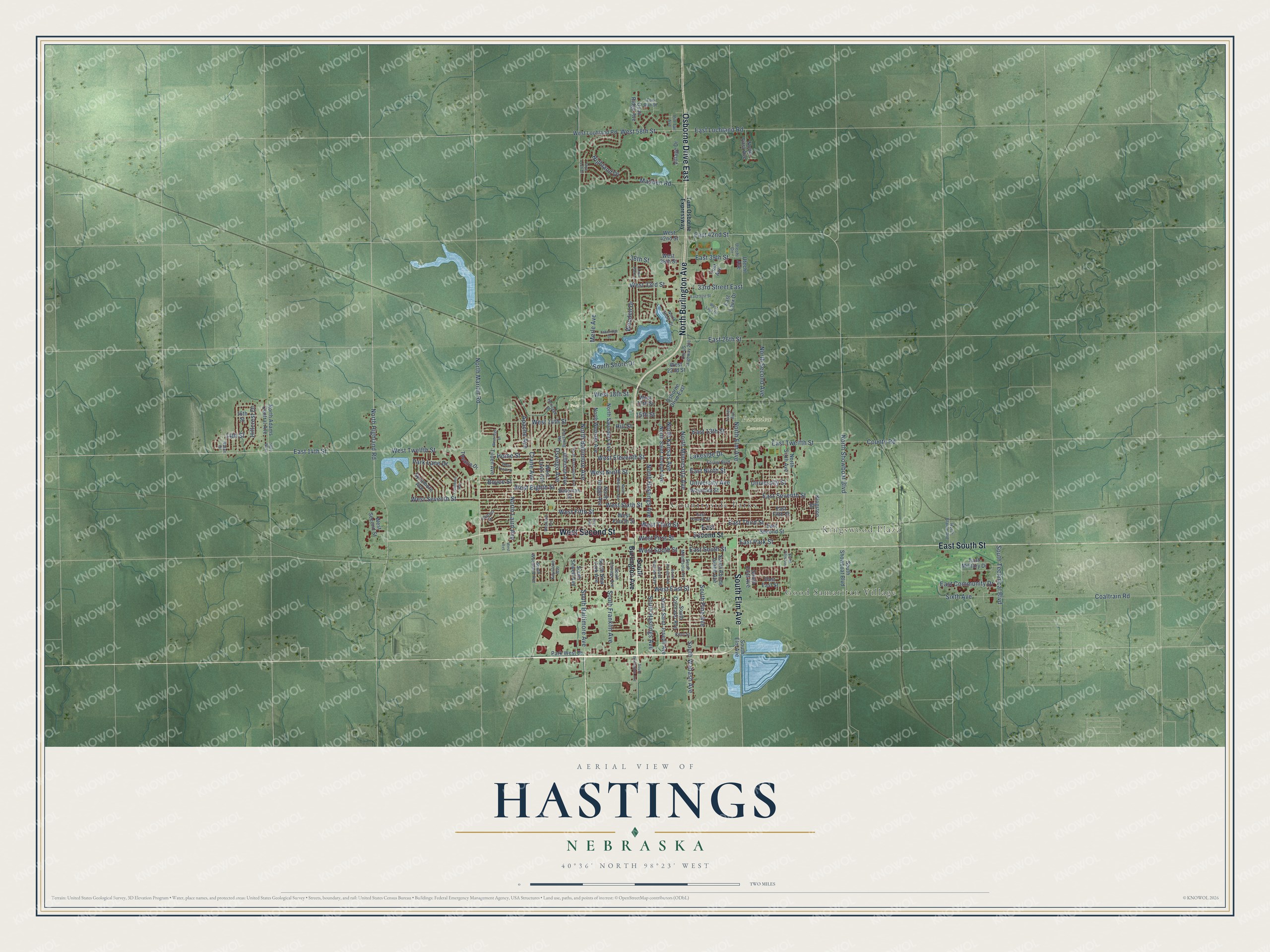
Explore Hastings, Nebraska from a whole new perspective. Created using aerial imagery and detailed geographic data, this map captures Hastings building by building, with labeled streets, familiar landmarks, and shaded topographical relief that highlights the natural contours of the landscape.
Combining modern data with the timeless character of a vintage atlas, this map is just as interesting up close as it is beautiful on the wall. Whether you grew up in Hastings, spent memorable years there, or call it home today, this unique map is a great way to celebrate a place that means something to you. Zoom in on the preview to look for your street, and then order a print to put your memories on the wall.
Three ways to hang it
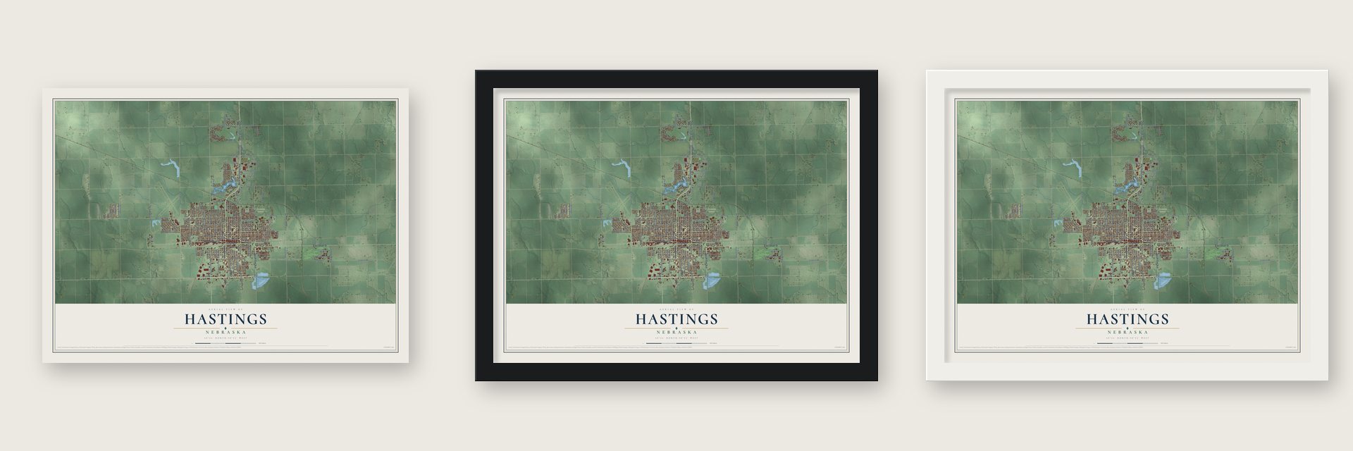
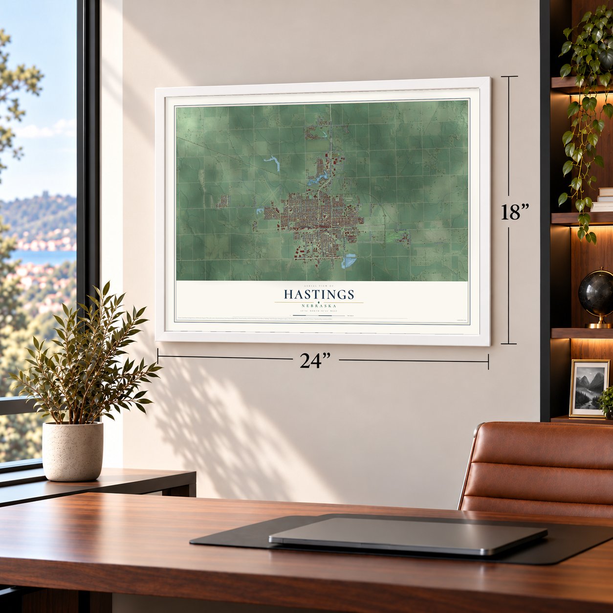
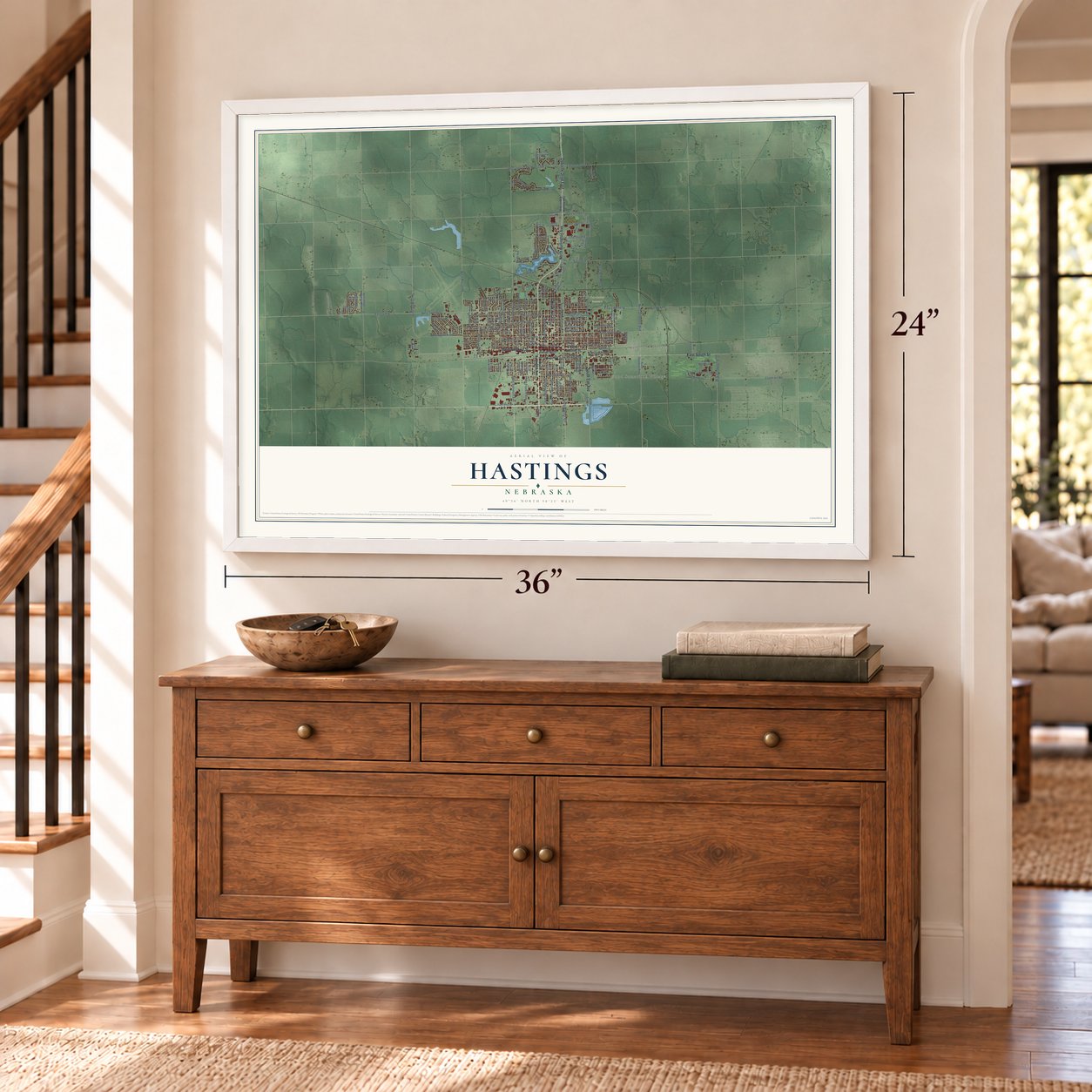
Unframed archival matte, a black wood frame or a white wood frame.
Up close
Geography Worth Displaying
This map was created using accurate cartographic data and authoritative geographic sources, including the U.S. Geological Survey and the Census Bureau. The map brings together terrain, waterways, roads, and building detail. The majority of the streets are labeled, houses are accurately depicted, and the topography is derived from government sources. Combining local data with carefully composed color and shading leads to this beautifully detailed Hastings artwork for your wall.
Rather than simply showing street outlines, we’ve included as many of the street names as we could reasonably fit on the map while keeping their names legible. Zoom in on the high resolution preview to see exactly what’s on the map. We truly set out to create a statement piece for anyone who loves Hastings. So whether it’s for you, or a gift for someone you love, we hope this map of Hastings brings back fond memories.
Read the story behind this map of Hastings, Nebraska from 2026.

About Hastings, Nebraska
Hastings is a city of 25,152 people and the county seat of Adams County. It was founded in 1872 where the Burlington and Missouri River Railroad crossed the St. Joseph and Denver City Railroad. The town took its name from Colonel D. T. Hastings, who helped build the St. Joseph and Grand Island line through the county. Its first settlers came from Liverpool, England, and they were soon joined by Irish, Danish and German families and by Germans from Russia.
The town grew fast. Hastings became an incorporated town in April 1874. After a five-year fight with Juniata, it won the county seat in September 1878. A fire in 1879 burned 33 buildings downtown. Between 1880 and 1890 Hastings rebuilt its center with fireproof materials, and many of its ornate Victorian blocks were designed by Charles C. Rittenhouse, Adams County's first working architect, who also served ten years as mayor. The population climbed to 13,500, then dropped to 7,000 in the drought and farm depression of the 1890s.
“The country between the Blue and the Platte is beautiful beyond compare. Never have I seen so varied a country so suitable to cultivation.”
- Kool-Aid in 1927Edwin Perkins ran his experiments in his mother's kitchen in Hastings. To cut his shipping costs, in 1927 he found a way to take the liquid out of his drink concentrate, Fruit Smack, and he sold the powder that was left as Kool-Aid. He moved production to Chicago in 1931, and General Foods bought the brand in 1953. Every August, on its second weekend, Hastings holds Kool-Aid Days.
- The Navy's biggest depotIn 1942 the Navy picked Hastings for its central location and built an ammunition depot on 49,000 acres southeast of town. In 1945 the depot employed 6,692 civilians, 125 officers and 1,800 enlistees.
- Bricks and cigarsHastings had four brickyards, and in 1911 it made more bricks than any other city in Nebraska, including all of the state's paving bricks. It was also Nebraska's cigar-making capital. The Kipp Cigar Company hand-rolled one-fifth of the state's cigars by 1921 and half of them in 1925, 10 million in all, before cigarettes won out between the two World Wars.
- The Rainbow FountainEdward R. Howard built the Electric Fountain as a temporary show for the 1932 Adams County Fair. It was so popular during the Depression and Dust Bowl years that it was moved to Highland Park for good. Schoolchildren renamed it, and two winning entries were joined: Rainbow Fountain, and Fisher Fountain for Mayor Jacob Fisher. After vandals dynamited it in 1984, the town raised $63,000 and rededicated it on Mother's Day in 1985.
Find your street
Names on the Hastings map
Every name below is printed on this map. Look for your street, your school, the park where you played, or the pond down the road.
Places and landmarks5
- Good Samaritan Village
- Kingswood Plaza
- Libs Park
- Parkview Cemetery
- Countryside Parks
Streets and roads147
- West Second Street
- North Burlington Avenue
- South Elm Avenue
- Osborne Drive East
- East South Street
- North Marian Road
- West South Street
- North Highland Road
- East 14th Street
- South Wabash Avenue
- South Baltimore Avenue
- North Baltimore Avenue
- West Twelfth Street
- East Twelfth Street
- 14th Street
- South Shore Drive
- West 18th Street
- West Seventh Street
- West Ninth Street
- West Third Street
- West Fifth Street
- East Seventh Street
- West 14th Street
- West Sixth Street
- West Eleventh Street
- North Elm Avenue
- North Kansas Avenue
- West Eighth Street
- Crane Avenue
- North Laird Avenue
Show all 147 streets
- North Hastings Avenue
- West East Street
- University Avenue
- University Street
- North Minnesota Avenue
- North Second Avenue
- West 58th Street
- South Hastings Avenue
- Madden Road
- South Pine Avenue
- Boyce Street
- County Road
- East Third Street
- Highland Drive
- Coaltrain Road
- East Ninth Street
- East Park Street
- Wendell Drive
- West 33rd Street
- Oswego Avenue
- Park Lane Drive
- East 26th Street
- East Lochland Road
- Home Street
- Sixth Avenue
- South Technical Boulevard
- South Franklin Avenue
- West First Street
- East Community Drive
- North Showboat Boulevard
- 33rd Street East
- Apache Avenue
- Hillcrest Drive
- Lakeside Drive
- East 13th Street
- East 42nd Street
- East 39th Street
- Merle Avenue
- 38th Street
- 15th Street
- Hill Street
- South Burlington Avenue
- East Second Street
- South First Avenue
- North Adams Central Avenue
- West 22nd Street
- Village Drive
- West Fourth Street
- North Saunders Avenue
- North Saint Joseph Avenue
- West Lochland Road
- North Briggs Avenue
- South Saint Joseph Avenue
- East Fifth Street
- South Colorado Avenue
- Bateman Street
- North Webster Avenue
- North Sixth Avenue
- West Lawn Avenue
- Waynoka Street
- Jefferson Avenue
- Kingston Drive
- Sycamore Avenue
- South Rhode Island Avenue
- South Showboat Boulevard
- East East Street
- Quail Ridge Avenue
- East Military Drive
- North First Avenue
- South New York Avenue
- Park West Drive
- East Laux Drive
- South Sewell Avenue
- 16th Street
- Yost Avenue
- Utecht Avenue
- Theatre Drive
- West 42nd Street
- Tilden Avenue
- West 38th Street
- West 17th Street
- Tom Osborne Expressway
- South Woodland Avenue
- North Shore Drive
- Old US Highway 281
- South Denver Avenue
- East Fourth Street
- Turner Avenue
- South Minnesota Avenue
- Heritage Drive
- South Chicago Avenue
- Forest Boulevard
- Pershing Road
- North Blaine Avenue
- Nalan Drive
- Fox Run Street
- Sunset Drive
- Keystone Avenue
- Pin Tail Avenue
- Kent Street
- Utecht Circle
- North Bellevue Avenue
- West Tenth Street
- Westlawn Avenue
- South Kansas Avenue
- Lake Park Lane
- North Washington Avenue
- East 31st Street
- Kerr Avenue
- Westridge Drive
- Lakeridge Drive
- West Avenue
- Creighton Avenue
- West Laux Drive
- South Fifth Avenue
- Skye Loch Drive
- 5600 West
Names are listed as they appear on the printed map. Zoom into the product photos to find them.
The art of mapping a place
How This Map Was Made
Real places. Remarkable detail. Discover the layers that turn geographic data into a map of home.

The view from above
Aerial imagery reveals the character of the land: woodland, open fields, and the patterns of a place.

The shape of the land
Elevation data brings hills, valleys, and subtle changes in the landscape into view.

The details of home
Roads, waterways, and building footprints come together to make the map feel unmistakably local.

Geography becomes art
Considered color, shading, and typography bring the layers together in a map made for your wall.


Process illustrated with Mendon, Massachusetts. Aerial imagery: USDA NAIP. Terrain: USGS 3D Elevation Program. Map details and finished artwork: KNOWOL.
The Details
About This Print
Choose an archival matte print, or a black or white Ayous wood frame. The archival matte print is unframed.
Select your size and finish above to see the matching product image and price.
Materials & Craftsmanship
A contemporary map with the character of a classic atlas, printed on archival matte paper. Optional frames are made from Ayous wood.
Your printed map does not include the watermark shown in the full-map preview.
Shipping & Delivery
Free shipping within the United States. Every print is made to order in the USA.
Buying a gift? Add a note in your cart and we'll include it. We never put prices in the package.
Prints ship within 2 to 3 business days. Allow 7 to 10 days total from ordering for delivery. Timing may vary during holidays or periods of high order volume.
Read our shipping policy.
Returns and damaged prints
Each print is made to order. Change-of-mind refunds are not available after production.
If your print arrives damaged, misprinted or incorrect, contact support@knowol.com within 30 days of receiving it. Include your order number, photos and a description of the issue.
Read our full refund and replacement policy. For questions about your order, email support@knowol.com.
Find your town
Looking for another city?
Find a map of home in our Nebraska collection, or any town in the country.
Nearby
Maps of towns near Hastings
Know someone from one of these towns? Their map makes a great gift.
 Juniata
, Nebraska
From $39.99See the map
 Trumbull
, Nebraska
From $39.99See the map
 Inland
, Nebraska
From $39.99See the map
More maps nearby: Glenvil, Ayr, Prosser, Doniphan and Roseland.