
Search for another town





Free U.S. delivery 7 to 10 days after you order
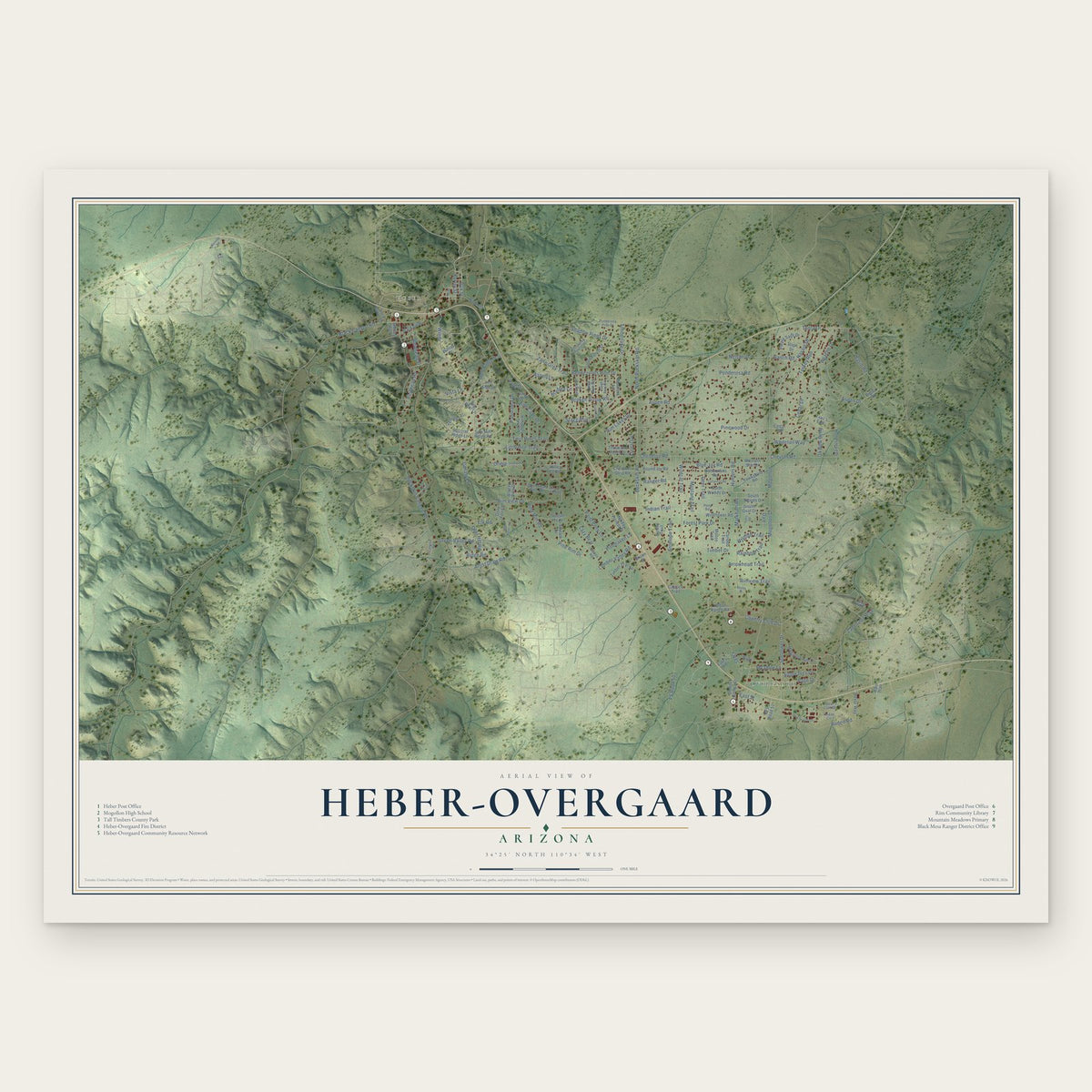
Heber-Overgaard, Arizona Map Art
Building by building, with labeled streets and shaded relief.
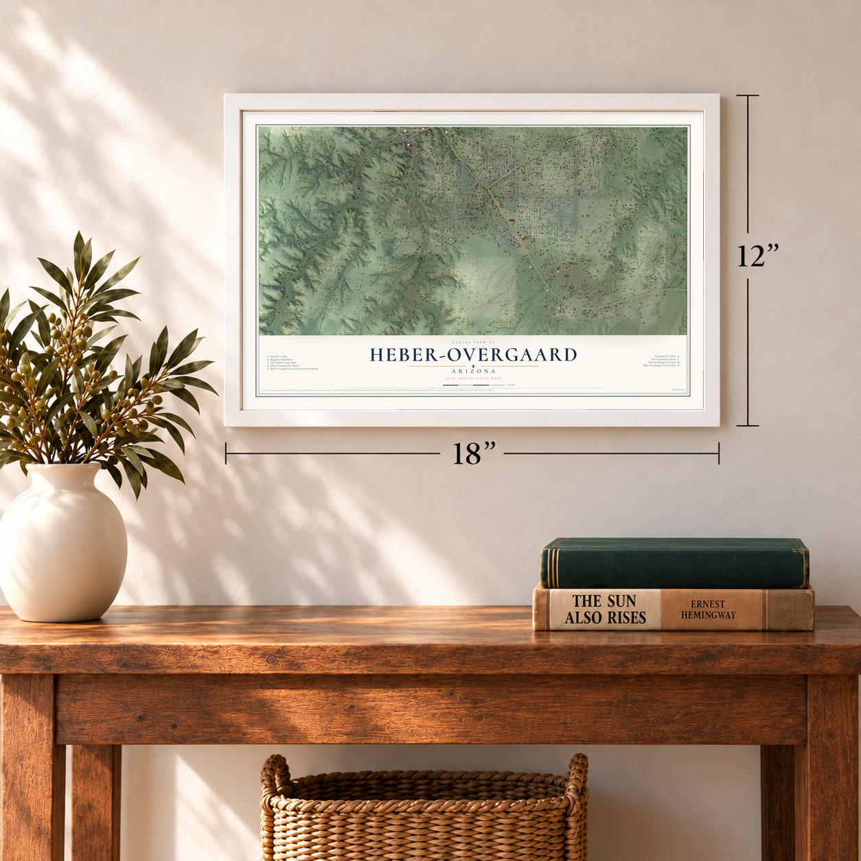
12" x 18" Archival Matte Print
A Map of Home. A Work of Art.
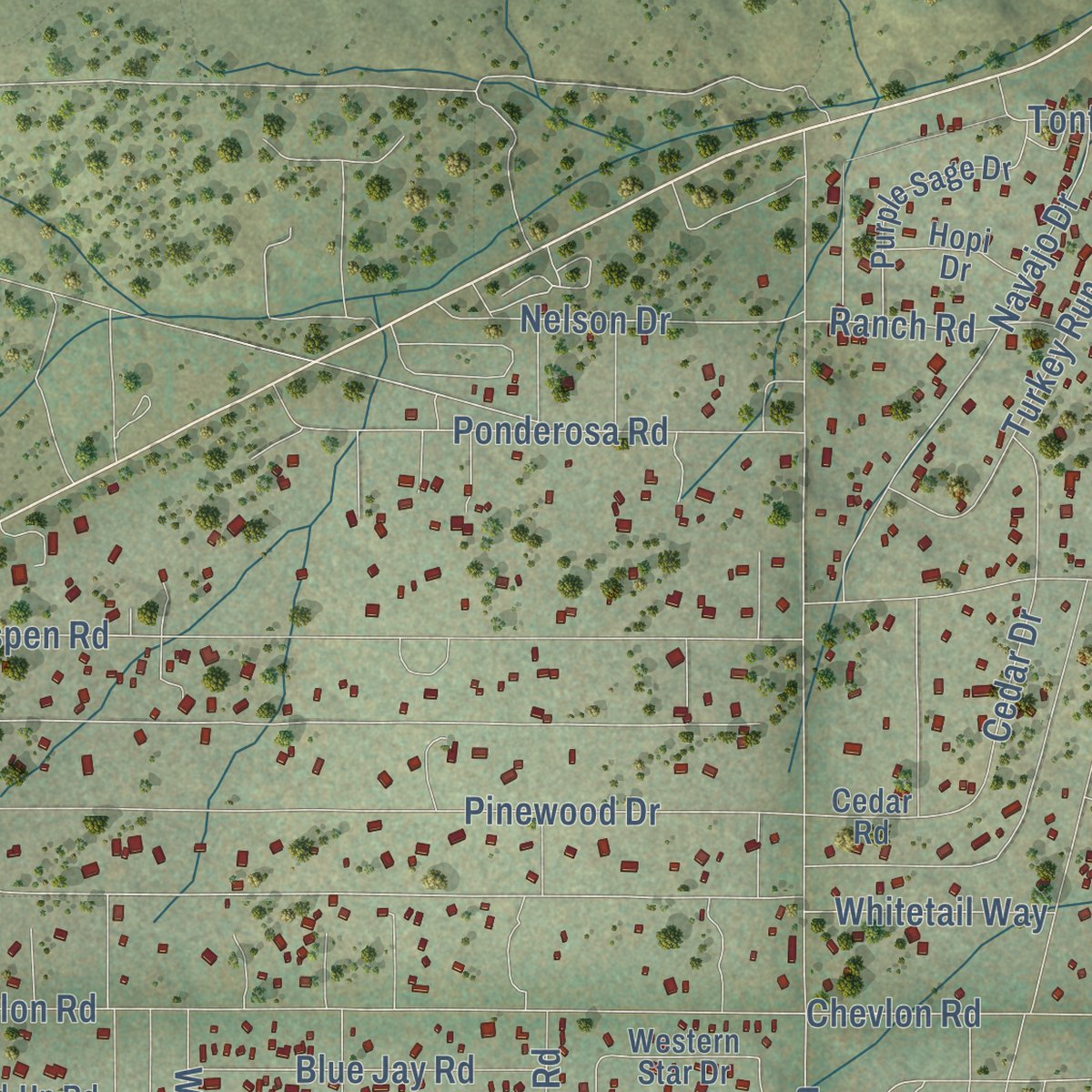
Explore Heber-Overgaard, Arizona from a whole new perspective. Created using aerial imagery and detailed geographic data, this map captures Heber-Overgaard building by building, with labeled streets, familiar landmarks, and shaded topographical relief that highlights the natural contours of the landscape.
Combining modern data with the timeless character of a vintage atlas, this map is just as interesting up close as it is beautiful on the wall. Whether you grew up in Heber-Overgaard, spent memorable years there, or call it home today, this unique map is a great way to celebrate a place that means something to you. Zoom in on the preview to look for your street, and then order a print to put your memories on the wall.

Three ways to hang it
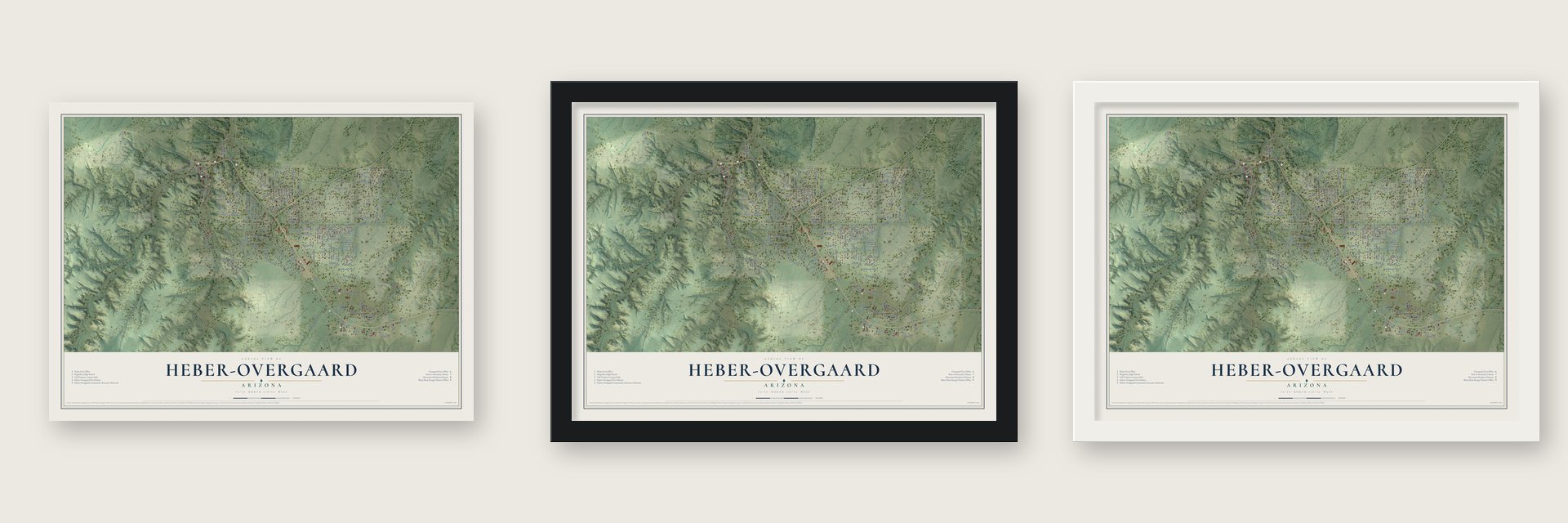
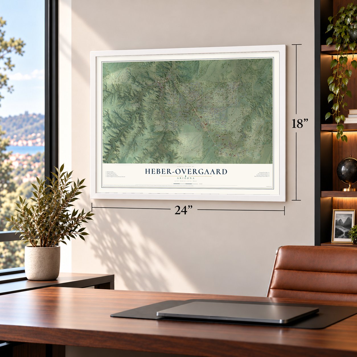
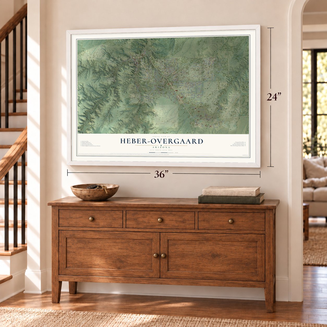
Unframed archival matte, a black wood frame or a white wood frame.
Up close
Geography Worth Displaying
This map was created using accurate cartographic data and authoritative geographic sources, including the U.S. Geological Survey (USGS) and FEMA. The map brings together terrain, waterways, roads, and building detail. The majority of the streets are labeled, houses are accurately depicted, and the topography is derived from government sources. Combining local data with carefully composed color and shading leads to this beautifully detailed Heber-Overgaard artwork for your wall.
Rather than simply showing street outlines, we’ve included as many of the street names as we could reasonably fit on the map while keeping their names legible. Zoom in on the high resolution preview to see exactly what’s on the map. We truly set out to create a statement piece for anyone who loves Heber-Overgaard. So whether it’s for you, or a gift for someone you love, we hope this map of Heber-Overgaard brings back fond memories.
Explore the full map of Heber-Overgaard, Arizona and read about the local places it shows.

Find your street
Names on the Heber-Overgaard map
Every name below is printed on this map. Look for your street, your school, the park where you played, or the pond down the road.
Places and landmarks2
- Overgaard
- Heber
Streets and roads159
- Oak Street
- Reidhead Street
- Zane Grey Trail
- Windy
- Wildcat Trail
- Sunflower Drive
- Aspen Drive
- Mogollon
- Tonto Drive
- Zane Grey Boulevard
- Mogollon Drive
- Chevelon Road
- Buckskin Canyon Road
- Pine Rim Drive
- Aspen Road
- Pinewood Drive
- Buckskin Road
- Pine Rim Road
- Forest Park Drive
- Apache Drive
- Artist Draw Road
- Little Doe Trail
- Deer Trail
- FS Road 50
- Navajo Drive
- Indian Trail
- Mustang Trail
- Markham Road
- Black Canyon Road
- Antelope Trail
Show all 159 streets
- Timberlake Drive
- Paint Pony Lane
- Shadow Pines Drive
- Meadow Lane
- Deer Hill Road
- Ponderosa Road
- Broken Arrow Road
- Turkey Run
- Twin Pines Trail
- Rodeo Road
- Green Valley Road
- Rimview Trail
- Country Club Drive
- Arrowhead Trail
- Cedar Drive
- Rendezvous Pine Drive
- Rim Lakes Drive
- Nelson Drive
- Rainbow Trail
- Blue Jay Road
- Pinehaven Lane
- Pine Cone Drive
- Basin Road
- Lumber Valley Road
- North Buckskin Road
- Aspen Lane
- Panorama Drive
- Ridge Road
- Ox Bow Bend
- Ranch Road
- Reidhead Road
- Whitetail Way
- Lazy Bear
- Sitgreaves Drive
- Page Drive
- Hunters Road
- Parkview
- Canary Lane
- Stagg Run
- Ranger Road
- Timber Drive
- Chevlon Road
- Rim View Lane
- Porter Street
- Wildlife Trail
- Elk Road
- Forest Drive
- Bradley Lane
- Vista Lane
- Yates
- Oriole
- East Street
- Pine Drive
- Dale
- Tenney Lane
- Winter Place
- Squirrel Ridge Lane
- Trevor Way
- South Oval Drive
- Saw Mill Ridge Road
- Senior Center Street
- Hill Side Drive
- Bain Trail
- Stone Bridge Trail
- Mogollon Rim Drive
- South Woods Drive
- North Woods Drive
- Quail Run Road
- Western Star Drive
- Fishermans Road
- Kelton Ranch Road
- Homestead Drive
- Timber Trail Lp
- Purple Sage Drive
- Green Forest Drive
- Valley Forge
- Round-Up Road
- Wildflower Road
- Tewksbury Road
- Holiday Forrest Drive
- Sunset Trail
- Moose Trail
- Caribou Trail
- Skylark Drive
- Westfork Lane
- Cherokee Strip Road
- Thousand Pines Drive
- Gray Fox Lane
- Christmas Pine Road
- Breezy Pine Drive
- Yates Road
- Hopi Drive
- NFS Road 51
- Bigler Road
- Turkey Trail
- Mill Avenue
- Caprice Trail
- Cedar Road
- Trail's End
- Big Bear Lane
- Shelley Avenue
- Brown Street
- Ruby
- Circle
- Evergreen Drive
- Black Bear Run
- Ponderosa Pine Drive
- Country View Lane
- Whispering Pine Drive
- Pine Hill Drive
- Enchanted Forest Drive
- Black Canyon Lane
- Canyon Road
- Wahoo Road
- Pine Top Drive
- Bear Claw Drive
- Kodak Circle
- Pony Road
- Parkway
- Red Cinder Road
- Cottontail Road
- Deer Track Trail
- Old Crooks Trail
- Lone Tree Lane
- Goshawk Lane
- Concord
- Tracy Road
- Mainline Road
- Devins Place
Names are listed as they appear on the printed map. Zoom into the product photos to find them.
About Heber-Overgaard, Arizona
Heber-Overgaard is a community of 2,898 people in Navajo County, set at 6,627 feet atop the Mogollon Rim. By 1882, drought had nearly emptied the Mormon settlements on the Little Colorado River. Lot Smith sent John Bushman of Allen's Camp south to look over the pine forests, where more rain promised easier dry farming. Bushman and five other men left on December 6, 1882, dug wells, and by April 13, 1883, had raised two cabins and planted grain.
The Hewards, Scarlets, Nielsons and Shelleys were the four families who stayed that spring, and in the end only James and Margaret Shelley put down lasting roots. Heber J. Grant, an apostle who traveled through Arizona so often he was called "The Arizona Apostle," slept in the Shelleys' cabin on a trip to Phoenix, and the settlers later named the town for him. Its post office opened in 1890, with Shelley as postmaster sorting the mail that a buckboard brought from Holbrook each Wednesday.
- Hoyle's store, 1891Johann Frederick Heil came from Baden, Germany, cooked for the Hashknife Outfit, and kept a store at Wilford until that settlement failed. He opened Heber's first store in 1891, and because cowboys stumbled over his name, everyone called him John Hoyle. He also farmed down Buckskin Wash and ran the store until he died on August 2, 1912. With no heirs in the country, a German consulate tracked down twenty-eight distant relatives, who split $3,046.
- Oklahoma Flats becomes OvergaardChris Overgaard came to Arizona in 1936 for the ponderosa pine. His sawmill traveled in pieces by train to Holbrook, then by wagon to a spot called Oklahoma Flats, which later took his name. A post office opened there on October 14, 1938. He ran the mill until money troubles forced a sale. A senior center later stood on the mill site, and after the Rodeo-Chediski Fire destroyed it in 2002, the Rim Country Senior/Community Center was rebuilt.
- Rain in time for the FourthMay 1898 was so dry that Heber hauled household water from the wells at Wilford. The rains finally came in July, so that Independence Day the town fired guns and firecrackers and held a dance that night. The holiday stayed big. The first parade ran in 1976 and now draws upwards of 20,000, and Les Parham put on 39 years of fireworks shows, from July 4, 1980, to July 6, 2019, all paid for by the people watching.
- A fire district by voteIn 1971 the sheriff's posse began pushing for a fire department, but it disbanded in 1972 when members moved away. American Legion Post 86 took over in early 1973, collected signatures and paid for an election. On June 4, 1973, voters unanimously created the Heber-Overgaard Fire District, covering 102 square miles, and Ivan Wilson was elected its first chief on June 14.
Keep exploring Arizona
Heber-Overgaard is one of 519 Arizona towns we've mapped. Every dot on the map is a print of its own.
The search covers every state, Arizona first.
Near Heber-Overgaard
Order 2 or more town maps and save 10%. Shown in the size and finish you picked above, so they hang as a set.
- Forest Lakes 12" x 18" / Archival Matte Print $39.99
- Clay Springs 12" x 18" / Archival Matte Print $39.99
- Pinedale 12" x 18" / Archival Matte Print $39.99


More maps nearby: Christopher Creek, Hunter Creek, Haigler Creek, Linden and Cibecue.
The art of mapping a place
How This Map Was Made
Real places. Remarkable detail. Discover the layers that turn geographic data into a map of home.

The view from above
Aerial imagery reveals the character of the land: woodland, open fields, and the patterns of a place.

The shape of the land
Elevation data brings hills, valleys, and subtle changes in the landscape into view.

The details of home
Roads, waterways, and building footprints come together to make the map feel unmistakably local.

Geography becomes art
Considered color, shading, and typography bring the layers together in a map made for your wall.


Process illustrated with Mendon, Massachusetts. Aerial imagery: USDA NAIP. Terrain: USGS 3D Elevation Program. Map details and finished artwork: KNOWOL.
The Details
About This Print
Choose an archival matte print, or a black or white Ayous wood frame. The archival matte print is unframed.
Select your size and finish above to see the matching product image and price.
Materials & Craftsmanship
A contemporary map with the character of a classic atlas, printed on archival matte paper. Optional frames are made from Ayous wood.
Your printed map does not include the watermark shown in the full-map preview.
Shipping & Delivery
Free shipping within the United States. Every print is made to order in the USA.
Buying a gift? Add a note in your cart and we'll include it. We never put prices in the package.
Prints ship within 2 to 3 business days. Allow 7 to 10 days total from ordering for delivery. Timing may vary during holidays or periods of high order volume.
Read our shipping policy.
Returns and damaged prints
Each print is made to order. Change-of-mind refunds are not available after production.
If your print arrives damaged, misprinted or incorrect, contact support@knowol.com within 30 days of receiving it. Include your order number, photos and a description of the issue.
Read our full refund and replacement policy. For questions about your order, email support@knowol.com.