
Search for another town




Free U.S. delivery 7 to 10 days after you order
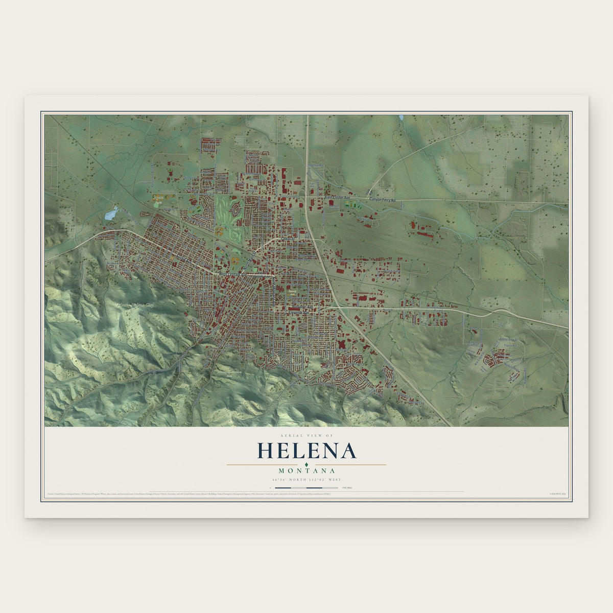
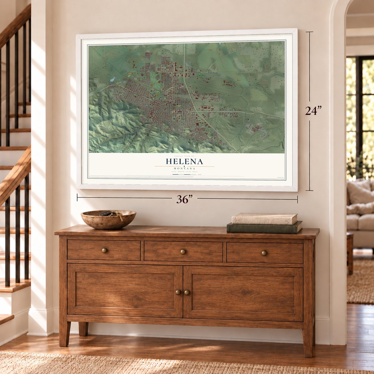
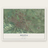
Helena, Montana Map Art
A new map of Helena, Montana, made in 2026 and printed to order on thick archival matte paper.
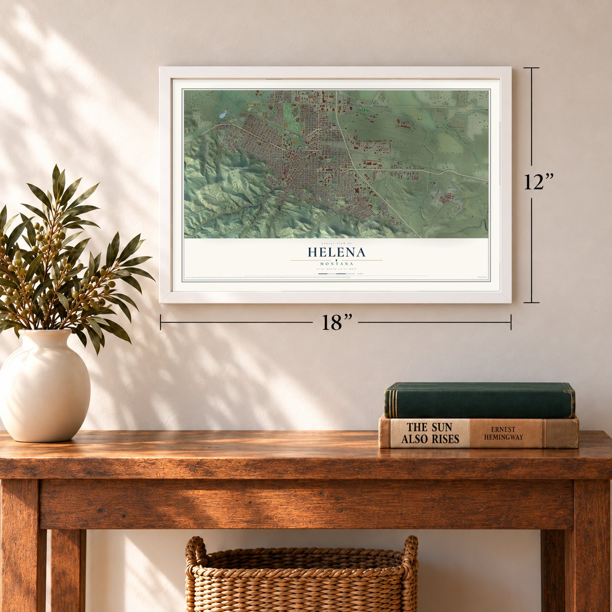
12" x 18" Archival Matte Print
A Map of Home. A Work of Art.
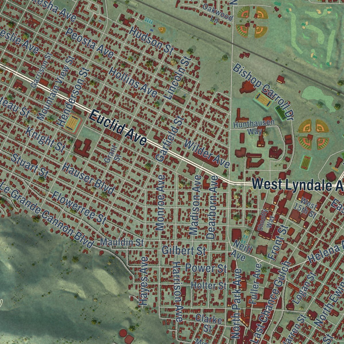
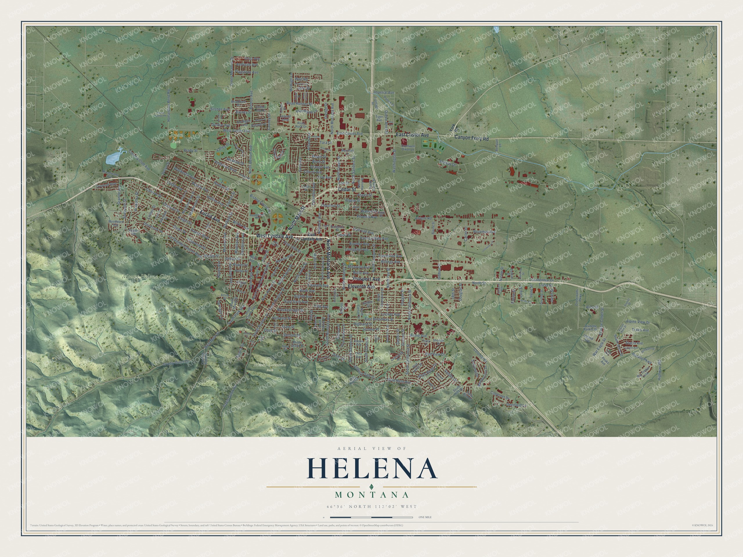
Explore Helena, Montana from a whole new perspective. Created using aerial imagery and detailed geographic data, this map captures Helena building by building, with labeled streets, familiar landmarks, and shaded topographical relief that highlights the natural contours of the landscape.
Combining modern data with the timeless character of a vintage atlas, this map is just as interesting up close as it is beautiful on the wall. Whether you grew up in Helena, spent memorable years there, or call it home today, this unique map is a great way to celebrate a place that means something to you. Zoom in on the preview to look for your street, and then order a print to put your memories on the wall.
Three ways to hang it
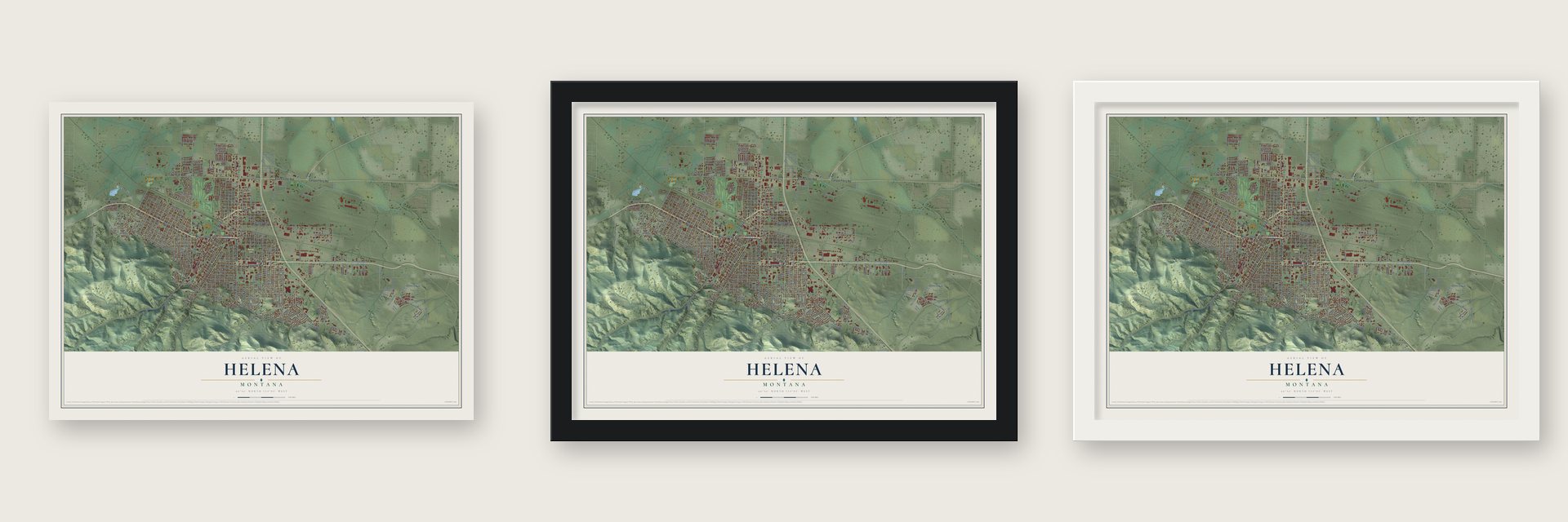
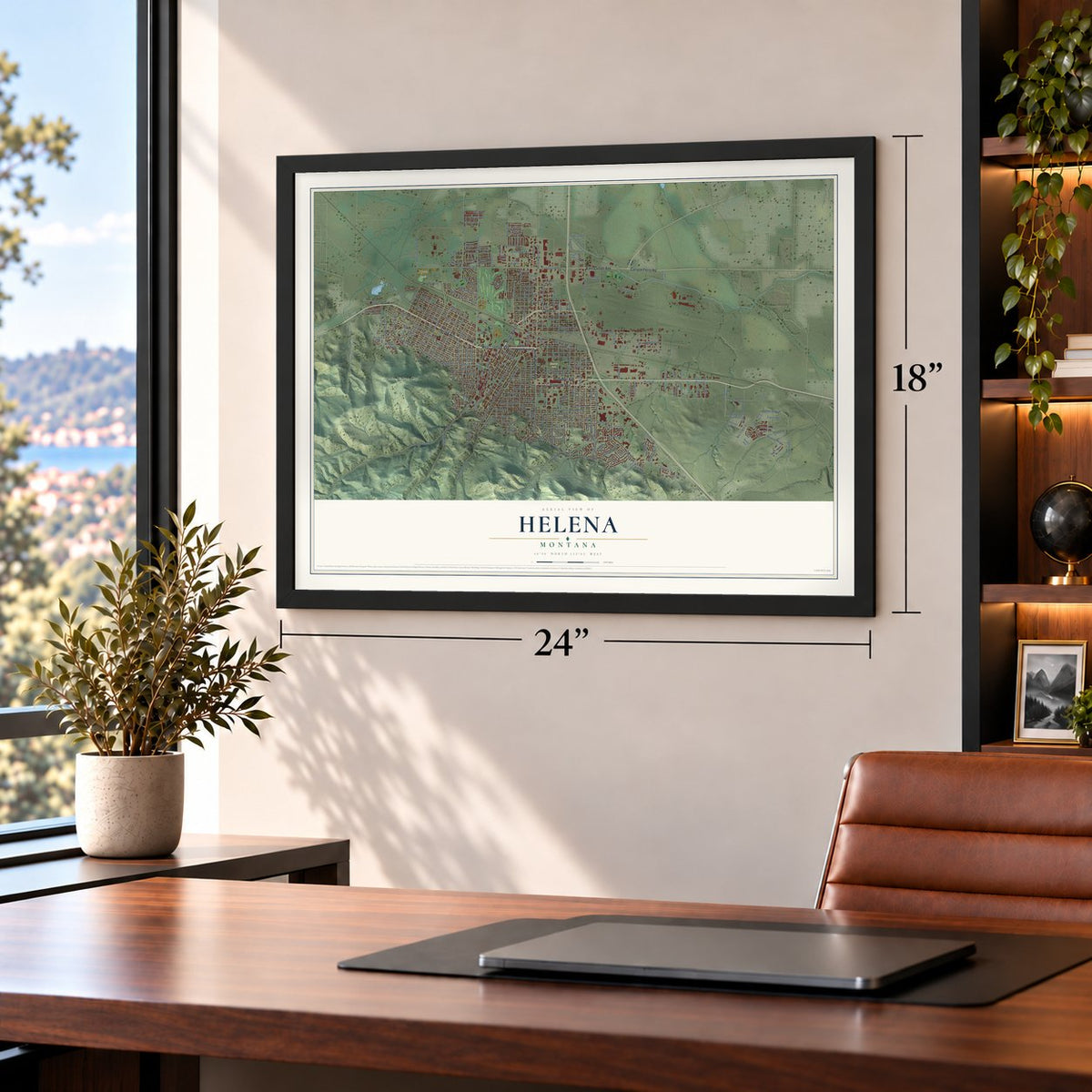
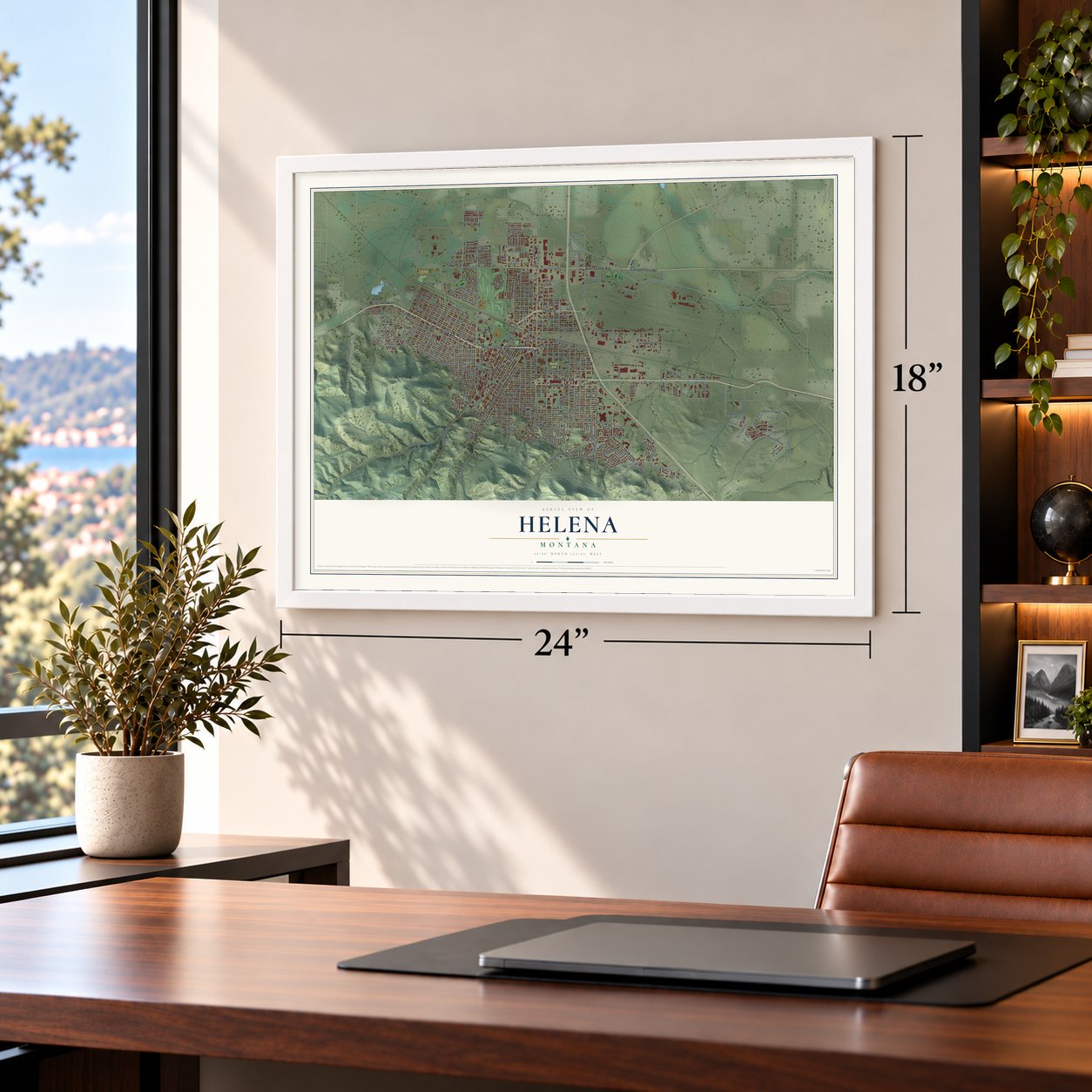
Unframed archival matte, a black wood frame or a white wood frame.
Up close
Geography Worth Displaying
This map was created using accurate cartographic data and authoritative geographic sources, including the U.S. Geological Survey and the Census Bureau. The map brings together terrain, waterways, roads, and building detail. The majority of the streets are labeled, houses are accurately depicted, and the topography is derived from government sources. Combining local data with carefully composed color and shading leads to this beautifully detailed Helena artwork for your wall.
Rather than simply showing street outlines, we’ve included as many of the street names as we could reasonably fit on the map while keeping their names legible. Zoom in on the high resolution preview to see exactly what’s on the map. We truly set out to create a statement piece for anyone who loves Helena. So whether it’s for you, or a gift for someone you love, we hope this map of Helena brings back fond memories.
Read the story behind this map of Helena, Montana from 2026.
About Helena, Montana
From the Historical Marker Database: "While Virginia City enjoyed the prestige of being the territorial capital, its population was shifting, and Helena, where gold was discovered on July 14, 1864, was growing."
Find your street
Names on the Helena map
Every name below is printed on this map. Look for your street, your school, the park where you played, or the pond down the road.
Places and landmarks4
- Mount Ascension Park
- Mount Helena City Park
- Ramey Park
- Ryan Park
Streets and roads276
- Euclid Avenue
- West Lyndale Avenue
- North Montana Avenue
- Eleventh Avenue
- Prospect Avenue
- Cedar Street
- North Main Street
- East Custer Avenue
- Canyon Ferry Road
- Helena Avenue
- North Park Avenue
- South Park Avenue
- Railroad Avenue
- North Lamborn Street
- Carriage Lane
- Washington Street
- North Benton Avenue
- North Sanders Street
- South Montana Avenue
- Benton Avenue
- West Main Street
- North Last Chance Gulch
- Gilbert Street
- North California Street
- Colonial Drive
- West Custer Avenue
- Phoenix Avenue
- East Broadway Street
- Airport Road
- Skyway Drive
Show all 276 streets
- Knight Street
- Hauser Boulevard
- East Sixth Avenue
- North Roberts Street
- Highland Street
- Eighth Avenue
- Stuart Street
- Ninth Avenue
- Saddle Drive
- Flowerree Street
- Fifth Avenue
- Henderson Street
- Winne Avenue
- Cole Avenue
- Cannon Street
- Le Grande Cannon Boulevard
- Joslyn Street
- National Avenue
- Choteau Street
- Gold Rush Avenue
- Davis Gulch Road
- Wilder Avenue
- McHugh Lane
- Leslie Avenue
- Billings Avenue
- North Cooke Street
- Poplar Street
- Hollins Avenue
- Peosta Avenue
- Boulder Avenue
- Alice Street
- South California Street
- North Ewing Street
- Waukesha Avenue
- Butte Avenue
- Harrison Avenue
- East Lyndale Avenue
- Belt View Drive
- University Street
- North Rodney Street
- Centennial Drive
- Missoula Avenue
- Livingston Avenue
- Chestnut Street
- Aspen Street
- Green Meadow Drive
- Lockey Avenue
- Madison Avenue
- Villard Avenue
- Lincoln Street
- North Davis Street
- Linden Street
- Breckenridge Street
- Bozeman Avenue
- Ptarmigan Lane
- Townsend Avenue
- Runkle Parkway
- Garfield Street
- South Rodney Street
- Walnut Street
- Bishop Carroll Drive
- North Street
- State Street
- Road Runner Street
- Columbia Avenue
- North Fee Street
- Alpine View Drive
- Hudson Street
- Jerome Place
- Idaho Avenue
- Elm Street
- Maple Street
- Orange Avenue
- Birch Street
- Granite Avenue
- Monroe Avenue
- Barney Street
- Gold Avenue
- Oregon Street
- Grizzly Gulch Drive
- Carter Drive
- South Alice Street
- Dearborn Avenue
- Cherry Avenue
- Silverette Street
- South Oakes Street
- South Sanders Street
- Sonoma Drive
- Stacia Avenue
- Horseshoe Bend Road
- War Eagle Street
- Queen Anns Street
- Country Club Avenue
- Third Street
- Cabernet Drive
- Brady Street
- Hayes Avenue
- Deerfield Lane
- Elaine Street
- 18th Street
- Virginia Dale Street
- Tricia Street
- Anderson Boulevard
- Highway 282
- Elouise Cobell Street
- Power Street
- Hiawatha Street
- Wolf Road
- Graham Street
- Dredge Drive
- Jade Street
- Diehl Drive
- Lewis Street
- Cooney Drive
- Meadow Drive
- Valley Drive
- Front Street
- South Ridge Drive
- Hillsdale Street
- Sparta Street
- Flagstone Avenue
- Travis Avenue
- Mendocino Drive
- East 16th Street
- Second Street
- Silsbee Avenue
- Andesite Avenue
- Tara Court
- Janet Street
- Lola Street
- Nicole Street
- Imperial Avenue
- Douglas Street
- Geddis Street
- Irene Street
- Gibbon Street
- Dunbar Avenue
- Grizz Avenue
- Alta Street
- York Road
- Neill Avenue
- Cloverview Drive
- North Hannaford Street
- North Harris Street
- Glendale Street
- North Warren Street
- North Dakota Street
- North Oakes Street
- Mountain View Street
- Logan Street
- Crossroads Parkway
- Legend Loop
- Frontage Drive
- Colter Loop Drive
- Oro Fino Gulch Drive
- Holter Street
- South Roberts Street
- Ohio Avenue
- Cromwell Dixon Lane
- Overlook Boulevard
- Clarke Street
- Northgate Loop
- Reber Road
- Broadwater Avenue
- South Fee Street
- Fuller Avenue
- Illinois Avenue
- Blaine Street
- South Cruse Avenue
- Jeanette Rankin Drive
- South Howie Street
- Comstock Road
- Golden Street
- Brookfield Drive
- Big Timber Loop
- Rhode Island Street
- Dorothy Street
- Roberts Street
- Peaks Avenue
- Russell Lane
- North Carson Street
- South Dakota Street
- Mauldin Street
- Lime Kiln Road
- Palace Street
- Woodward Avenue
- River Rock Drive
- Wallace Street
- Upland Avenue
- Marshall Lane
- Bozeman Street
- South Hills Drive
- Easy Street
- Shodair Drive
- Bompart Lane
- Early Bird Drive
- Red Letter Street
- Colleen Street
- Tracy Drive
- Lode Street
- Colton Drive
- Iowa Street
- Tiger Avenue
- Adam Street
- Laurel Street
- Grant Street
- Garrison Street
- North Hoback Street
- Hunthausen Way
- Briarwood Lane
- Twilight Avenue
- Stillwater Street
- Oakwood Lane
- Ming Place
- Washington Drive
- Fee Street
- First Street
- Paxon Street
- Stabern Street
- Florence Street
- Curlew Street
- Shepard Way
- Favor Avenue
- Alyson Rain Street
- West 15th Street
- District Street
- Butler Street
- Shootly Way
- Humbolt Loop
- Insulator Avenue
- Strawberry Drive
- Mitchell Avenue
- Pine Street
- Argyle Street
- Blake Street
- Clancy Street
- Yellowstone Drive
- Snow Goose Street
- 17th Street
- Crystal Springs Road
- Beech Street
- Enterprise Drive
- Hialeah Court
- Bailey Avenue
- Rea Avenue
- Flora Street
Names are listed as they appear on the printed map. Zoom into the product photos to find them.
The art of mapping a place
How This Map Was Made
Real places. Remarkable detail. Discover the layers that turn geographic data into a map of home.

The view from above
Aerial imagery reveals the character of the land: woodland, open fields, and the patterns of a place.

The shape of the land
Elevation data brings hills, valleys, and subtle changes in the landscape into view.

The details of home
Roads, waterways, and building footprints come together to make the map feel unmistakably local.

Geography becomes art
Considered color, shading, and typography bring the layers together in a map made for your wall.


Process illustrated with Mendon, Massachusetts. Aerial imagery: USDA NAIP. Terrain: USGS 3D Elevation Program. Map details and finished artwork: KNOWOL.
The Details
About This Print
Choose an archival matte print, or a black or white Ayous wood frame. The archival matte print is unframed.
Select your size and finish above to see the matching product image and price.
Materials & Craftsmanship
A contemporary map with the character of a classic atlas, printed on archival matte paper. Optional frames are made from Ayous wood.
Your printed map does not include the watermark shown in the full-map preview.
Shipping & Delivery
Free shipping within the United States. Every print is made to order in the USA.
Buying a gift? Add a note in your cart and we'll include it. We never put prices in the package.
Prints ship within 2 to 3 business days. Allow 7 to 10 days total from ordering for delivery. Timing may vary during holidays or periods of high order volume.
Read our shipping policy.
Returns and damaged prints
Each print is made to order. Change-of-mind refunds are not available after production.
If your print arrives damaged, misprinted or incorrect, contact support@knowol.com within 30 days of receiving it. Include your order number, photos and a description of the issue.
Read our full refund and replacement policy. For questions about your order, email support@knowol.com.
Find your town
Looking for another city?
Find a map of home in our Montana collection, or any town in the country.
Nearby
Maps of towns near Helena
Know someone from one of these towns? Their map makes a great gift.
 South Hills
, Montana
From $39.99See the map
 Unionville
, Montana
From $39.99See the map
 Helena West Side
, Montana
From $39.99See the map
More maps nearby: East Helena, Helena Valley West Central, Helena Valley Southeast, Montana City and Helena Valley Northeast.