
Search for another town
Free U.S. delivery 7 to 10 days after you order
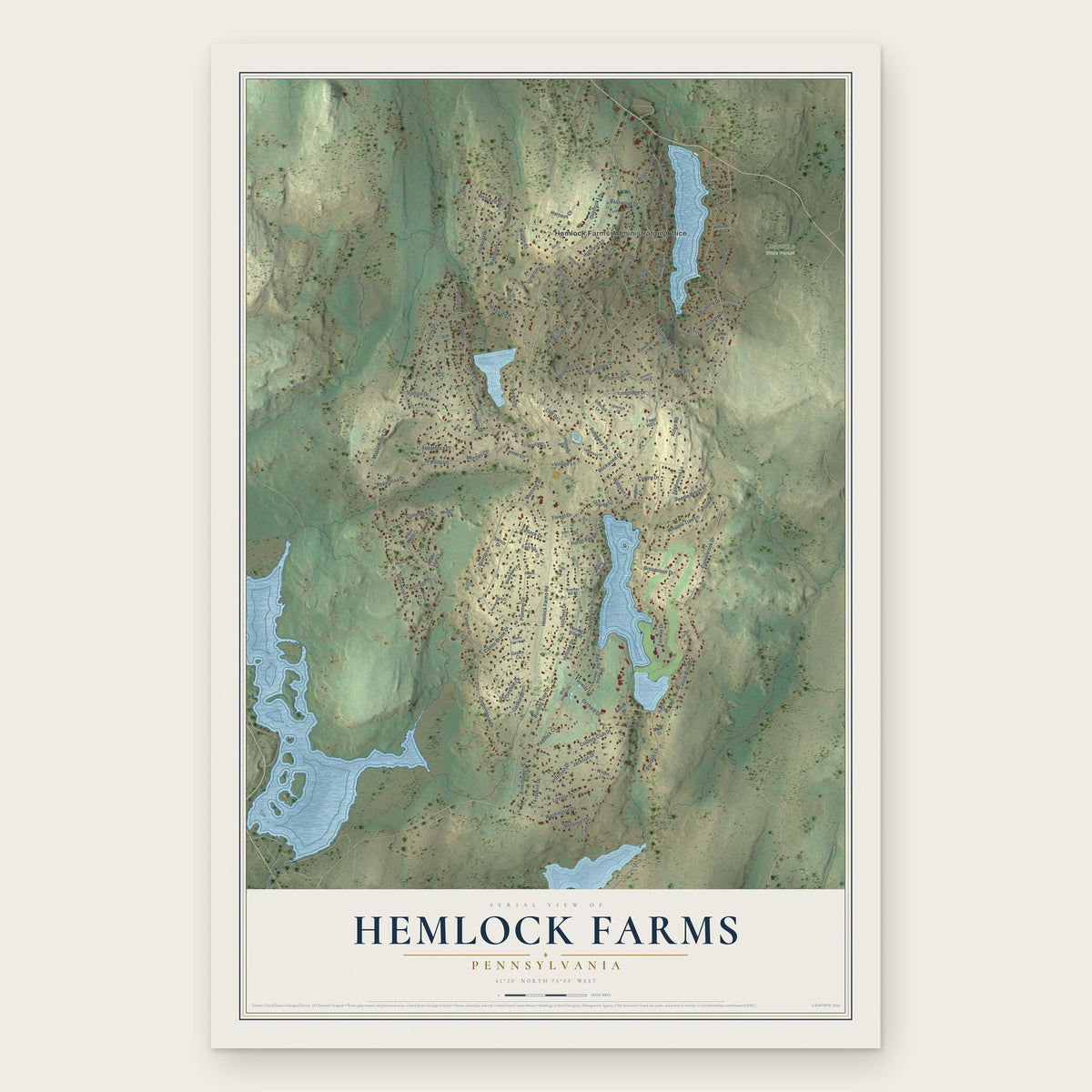
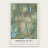
Hemlock Farms, Pennsylvania Map Art
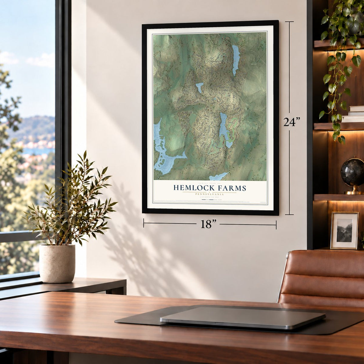
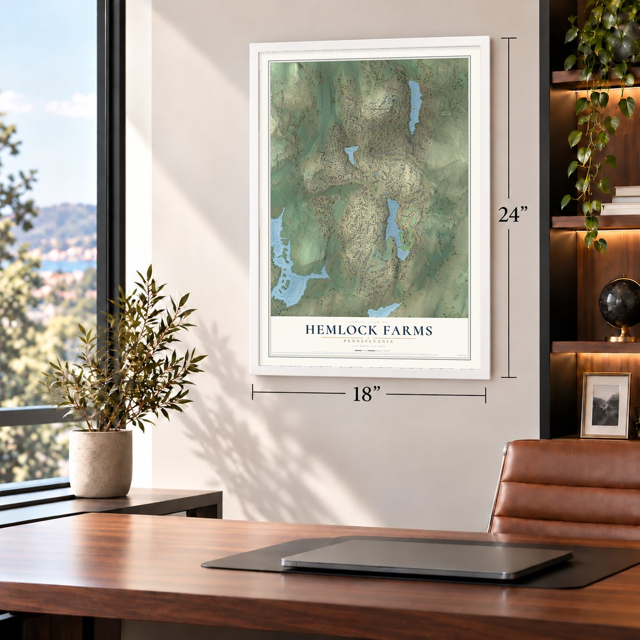
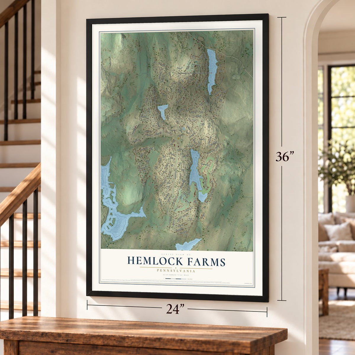
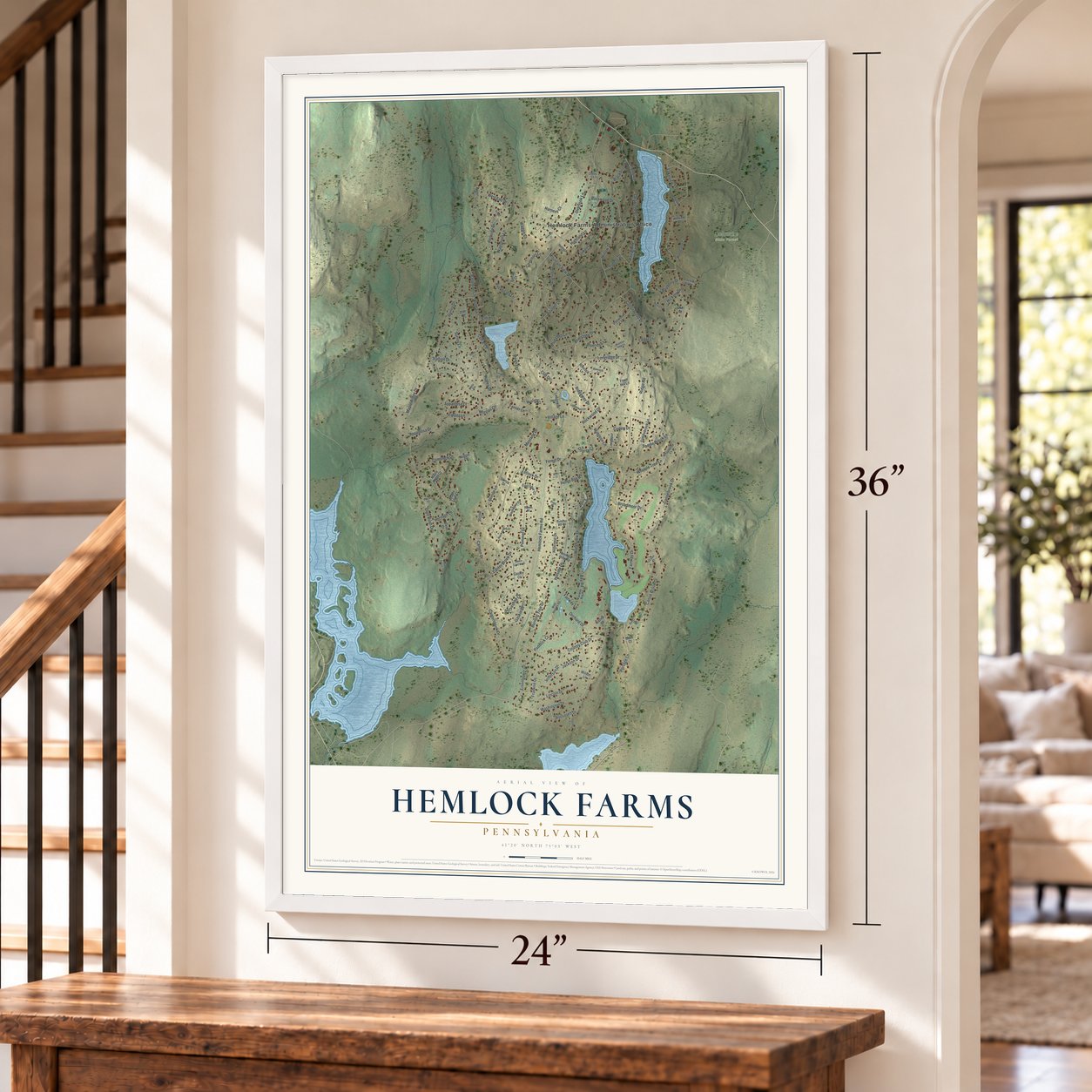
Building by building, with labeled streets and shaded relief.
12" x 18" Archival Matte Print
A Map of Home. A Work of Art.
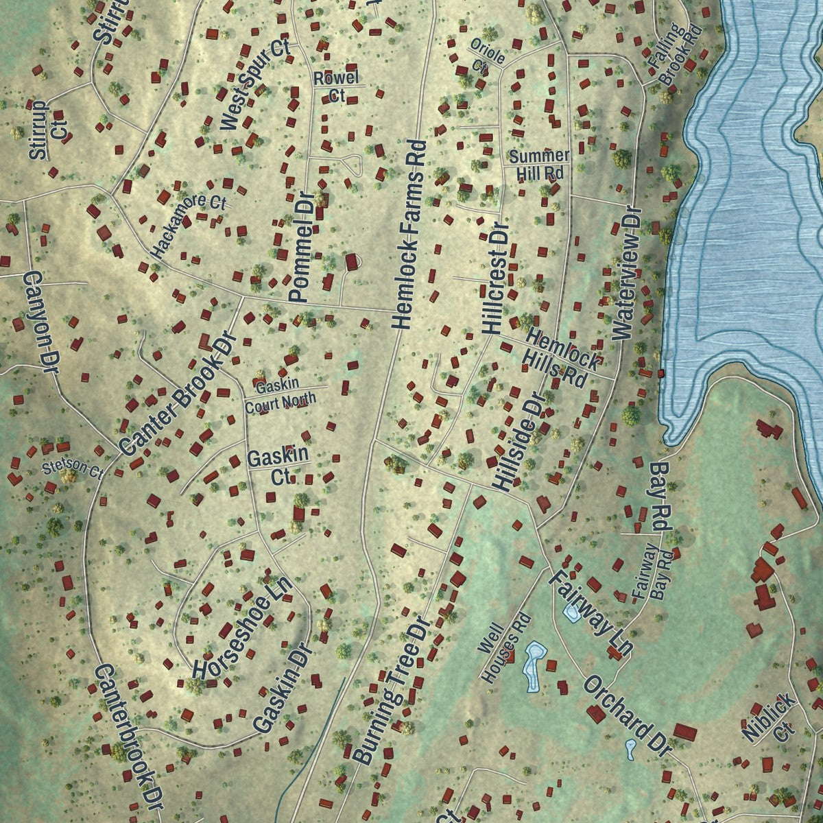
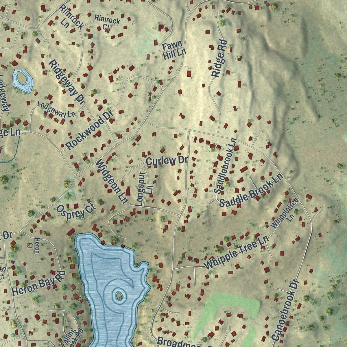
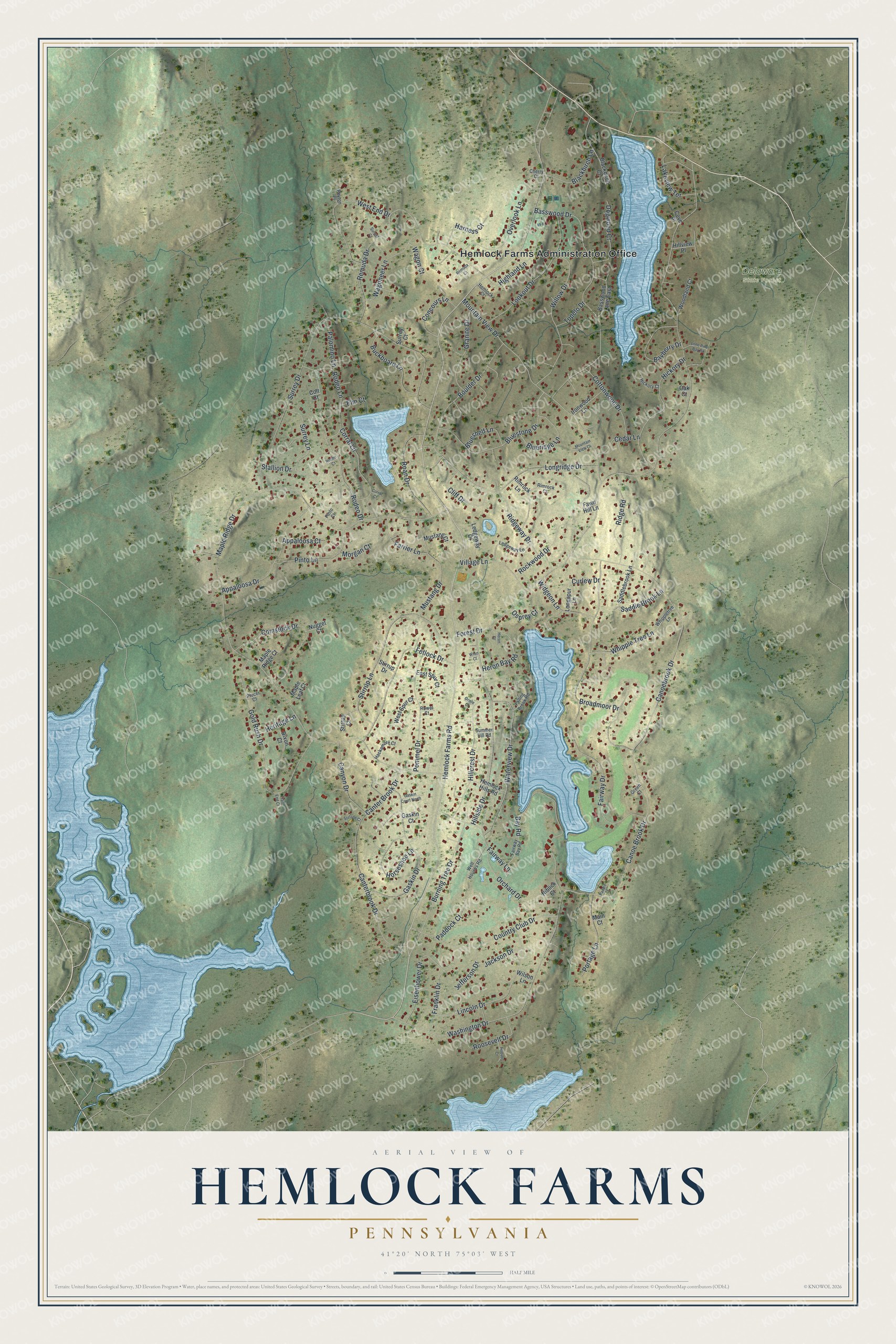
Explore Hemlock Farms, Pennsylvania from a whole new perspective. Created using aerial imagery and detailed geographic data, this map captures Hemlock Farms building by building, with labeled streets, familiar landmarks, and shaded topographical relief that highlights the natural contours of the landscape.
Combining modern data with the timeless character of a vintage atlas, this map is just as interesting up close as it is beautiful on the wall. Whether you grew up in Hemlock Farms, spent memorable years there, or call it home today, this unique map is a great way to celebrate a place that means something to you. Zoom in on the preview to look for your street, and then order a print to put your memories on the wall.
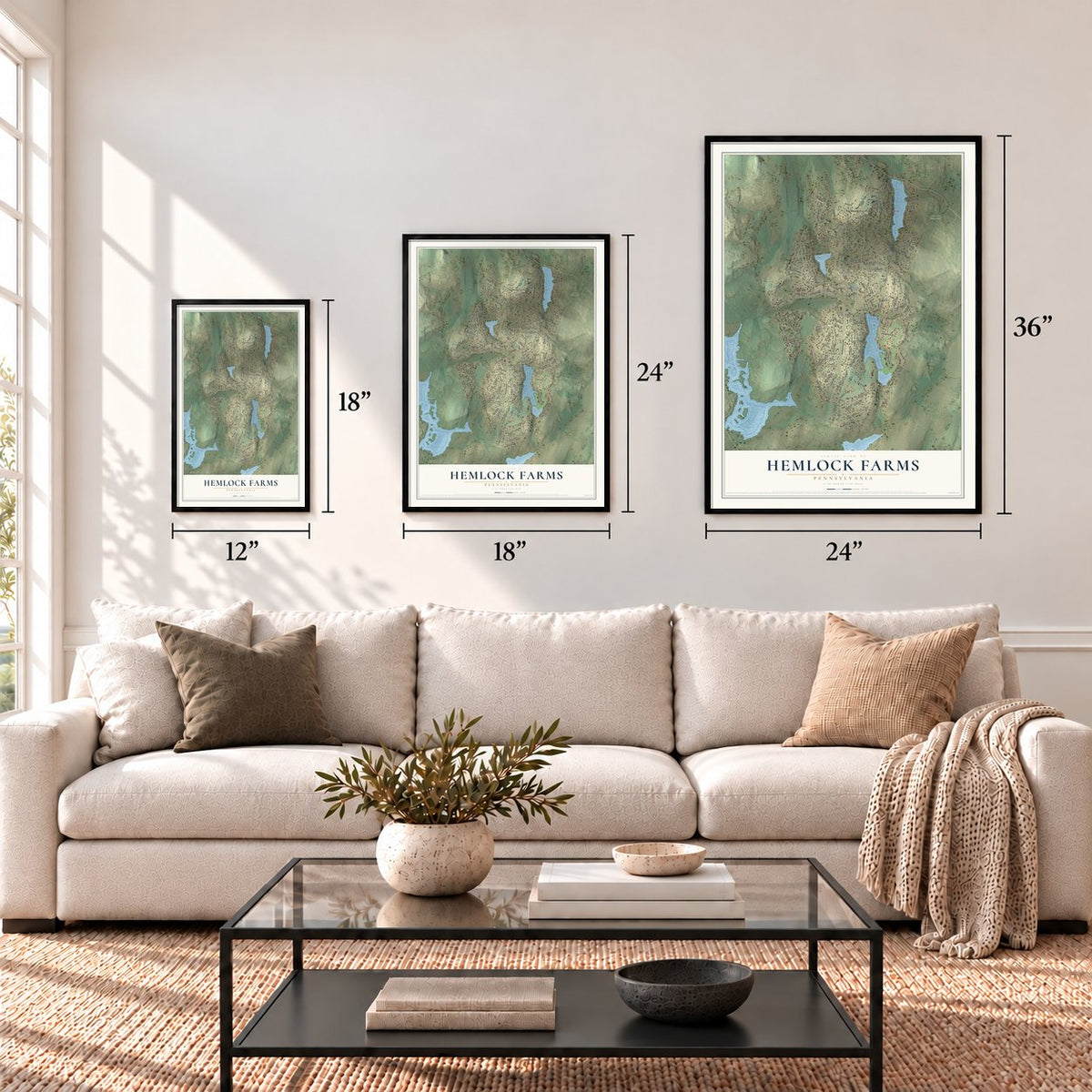
Three ways to hang it
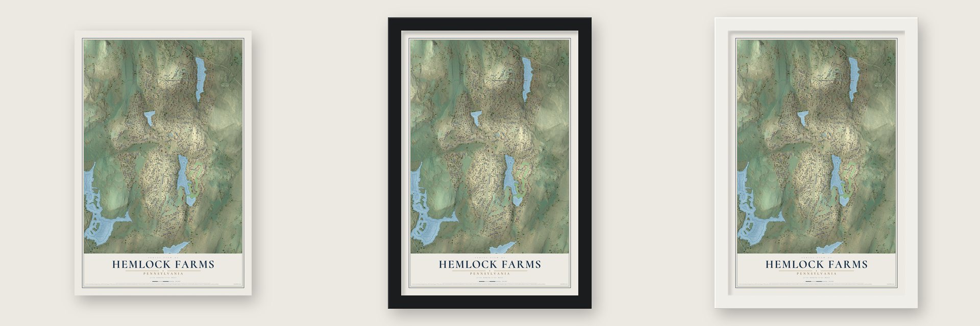
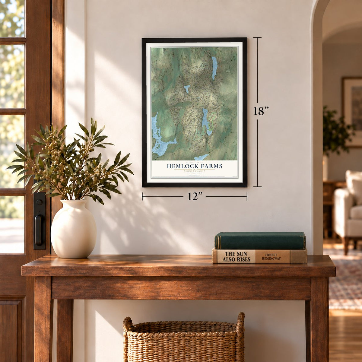
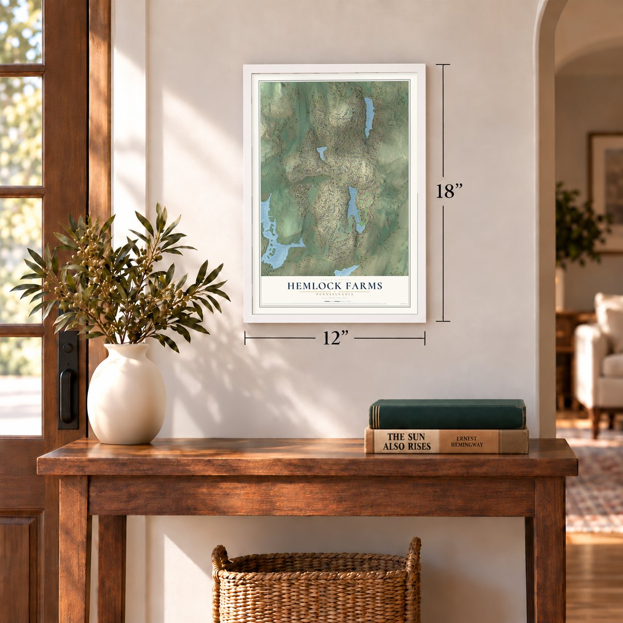
Unframed archival matte, a black wood frame or a white wood frame.
Up close
Geography Worth Displaying
This map was created using accurate cartographic data and authoritative geographic sources, including the U.S. Geological Survey and the Census Bureau. The map brings together terrain, waterways, roads, and building detail. The majority of the streets are labeled, houses are accurately depicted, and the topography is derived from government sources. Combining local data with carefully composed color and shading leads to this beautifully detailed Hemlock Farms artwork for your wall.
Rather than simply showing street outlines, we’ve included as many of the street names as we could reasonably fit on the map while keeping their names legible. Zoom in on the high resolution preview to see exactly what’s on the map. We truly set out to create a statement piece for anyone who loves Hemlock Farms. So whether it’s for you, or a gift for someone you love, we hope this map of Hemlock Farms brings back fond memories.
Read the story behind this map of Hemlock Farms, Pennsylvania from 2026.
Find your street
Names on the Hemlock Farms map
Every name below is printed on this map. Look for your street, your school, the park where you played, or the pond down the road.
Places and landmarks2
- Hemlock Farms Administration Office
- Delaware State Forest
Streets and roads146
- Hemlock Farms Road
- Canter Brook Drive
- Bay Road
- Maple Ridge Drive
- Forest Drive
- Canoe Brook Drive
- Surrey Drive
- Canoebrook Drive
- Country Club Drive
- Basswood Drive
- Remuda Drive
- Broadmoor Drive
- Mountain View Drive
- Washington Drive
- Canterbrook Drive
- Gold Rush Drive
- Longridge Drive
- Hillside Drive
- Stirrup Lane
- Fairway Drive
- Rodeo Drive
- Waterview Drive
- Orchard Drive
- Gaskin Drive
- Willow Drive
- Fetlock Drive
- Bluestone Drive
- Lincoln Drive
- Comstock Drive
- Burning Tree Drive
Show all 146 streets
- Lookout Drive
- Hickory Drive
- Hillcrest Drive
- Appaloosa Drive
- Boulder Drive
- West End Drive
- Overlook Lane
- Pommel Drive
- Mustang Drive
- Roan Drive
- Whipple Tree Lane
- Rodeo Lane
- Blackbirch Lane
- Ridgeway Drive
- Eisenhower Drive
- Ridge Road
- Rockwood Drive
- Wagoneer Lane
- Bayberry Drive
- Stallion Drive
- Franklin Drive
- Saddle Brook Lane
- Pinto Lane
- Corral Lane
- Horseshoe Lane
- Highland Lane
- Buckboard Lane
- Granite Drive
- Portage Lane
- Lakeview Terrace
- Cottonwood Drive
- Roosevelt Drive
- Blueridge Lane
- Heron Bay Road
- Canyon Drive
- Cliff Drive
- Surrey Lane
- Village Lane
- Harness Court
- Dogwood Court
- Jefferson Drive
- Widgeon Lane
- Concours Lane
- Farrier Lane
- Paddock Court
- Blueshelf Lane
- Curlew Drive
- Palomino Lane
- Cedar Lane
- Jackson Drive
- Fairway Lane
- Appaloosa Court
- Heritage Lane
- Tupelo Drive
- Wagon Court
- Morgan Court
- Osprey Court
- Elm Court
- Saddlebrook Lane
- Fawn Hill Lane
- Rimrock Lane
- Basswood Lane East
- Ironwood Lane
- Ledgeway Court
- Blackbirch Court
- Hemlock Hills Road
- Woodland Court
- West Spur Court
- East Spur Court
- Stirrup Court
- Mustang Court
- Longspur Lane
- Dixon Court
- Maple Leaf Court
- Hillview Place
- Maple Ridge Court
- Nugget Court
- Stirrup Drive
- Surrey Court
- Wilson Lane
- Gaskin Court
- Niblick Court
- Main Court
- Cove Place
- Oak Court
- Colt Court
- Whippletree Lane
- Falling Brook Road
- Ledgeway Lane
- Well Houses Road
- Summer Hill Road
- Fairway Bay Road
- Hackamore Court
- Rimrock Court
- Hickory Court
- Hemlock Court
- Peyton Place
- Cherry Court
- Rowel Court
- Plocer Court
- Green Court
- Pinto Court
- Lone Pine Bay Road
- Gaskin Court North
- Hoover Court
- Mountain View Court
- Stetson Court
- Remuda Court
- Trail End Court
- Paddle Court
- Sunset Court
- Corral Court
- Rodeo Court
- Heron Court
- Oriole Court
- Wren Court
Names are listed as they appear on the printed map. Zoom into the product photos to find them.
About Hemlock Farms, Pennsylvania
Hemlock Farms is a gated community of 3,901 people in Pike County, spread across Blooming Grove, Porter and Dingman Townships around Hemlock Lake. The land began as a private estate. William Brewster started buying it in 1927, and after his house went up in 1931 he added a pool, an eight-hole golf course, a two-lane bowling alley and a billiards room.
In 1963 Home Smith International bought 4,500 acres of the estate for $700,000 and divided it into 3,726 lots. Owners now hold 95 percent of those lots, and more than 3,400 homes stand on them. Over 2,000 of those homes are lived in year-round, and the rest are used on weekends or in summer. Every owner belongs to the Hemlock Farms Community Association, a nonprofit that owns the roads, lakes and common land.
- From estate links to country clubBrewster's pool, golf course, bowling alley and billiards room were renovated as part of the Lords Valley Country Club. The club started in 1945 as the Pocono Skyline Golf Club at the Monomonock Inn in Monroe County, went inactive as Mountain Resorts in 1954 after money troubles, and took the Lords Valley name in 1963 under a 20-year lease here. Added holes made it eighteen in 1964, and in 1973 Home Smith sold it to its members.
- Its own firefighters since 1969Hemlock Farms Volunteer Fire and Rescue has answered fire and ambulance calls in the community since 1969. A 1975 Army Corps of Engineers report on land use pointed to Hemlock Farms as a development that ran its own fire and emergency service. The same report noted that Hudson Transit Lines offered one bus run in each direction to New York City.
- Four lakes, 90 miles of roadThe association maintains nearly 90 miles of roads and draws its drinking water from its own deep wells in the Catskill Formation. Each of its four lakes has a beach and a bathhouse, and the Steer Barn Clubhouse holds an indoor pool, a fitness center and a theater. In winter, members skate on a private rink.
Keep exploring Pennsylvania
Hemlock Farms is one of 3,725 Pennsylvania towns we've mapped. Every dot on the map is a print of its own.
The search covers every state, Pennsylvania first.
Near Hemlock Farms
Order 2 or more town maps and save 10%. Shown in the size and finish you picked above, so they hang as a set.
- Conashaugh Lakes 12" x 18" / Archival Matte Print $39.99
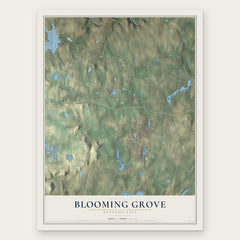
- Blooming Grove 12" x 18" / Archival Matte Print $39.99
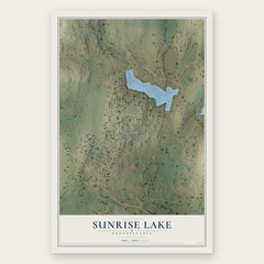
- Sunrise Lake 12" x 18" / Archival Matte Print $39.99

More maps nearby: Gold Key Lake, Dingman, Porter, Pocono Woodland Lakes and Delaware.
The art of mapping a place
How This Map Was Made
Real places. Remarkable detail. Discover the layers that turn geographic data into a map of home.

The view from above
Aerial imagery reveals the character of the land: woodland, open fields, and the patterns of a place.

The shape of the land
Elevation data brings hills, valleys, and subtle changes in the landscape into view.

The details of home
Roads, waterways, and building footprints come together to make the map feel unmistakably local.

Geography becomes art
Considered color, shading, and typography bring the layers together in a map made for your wall.


Process illustrated with Mendon, Massachusetts. Aerial imagery: USDA NAIP. Terrain: USGS 3D Elevation Program. Map details and finished artwork: KNOWOL.
The Details
About This Print
Choose an archival matte print, or a black or white Ayous wood frame. The archival matte print is unframed.
Select your size and finish above to see the matching product image and price.
Materials & Craftsmanship
A contemporary map with the character of a classic atlas, printed on archival matte paper. Optional frames are made from Ayous wood.
Your printed map does not include the watermark shown in the full-map preview.
Shipping & Delivery
Free shipping within the United States. Every print is made to order in the USA.
Buying a gift? Add a note in your cart and we'll include it. We never put prices in the package.
Prints ship within 2 to 3 business days. Allow 7 to 10 days total from ordering for delivery. Timing may vary during holidays or periods of high order volume.
Read our shipping policy.
Returns and damaged prints
Each print is made to order. Change-of-mind refunds are not available after production.
If your print arrives damaged, misprinted or incorrect, contact support@knowol.com within 30 days of receiving it. Include your order number, photos and a description of the issue.
Read our full refund and replacement policy. For questions about your order, email support@knowol.com.