
Search for another town




Free U.S. delivery 7 to 10 days after you order
Hermitage, Pennsylvania Map Art
A new map of Hermitage, Pennsylvania, made in 2026 and printed to order on thick archival matte paper.
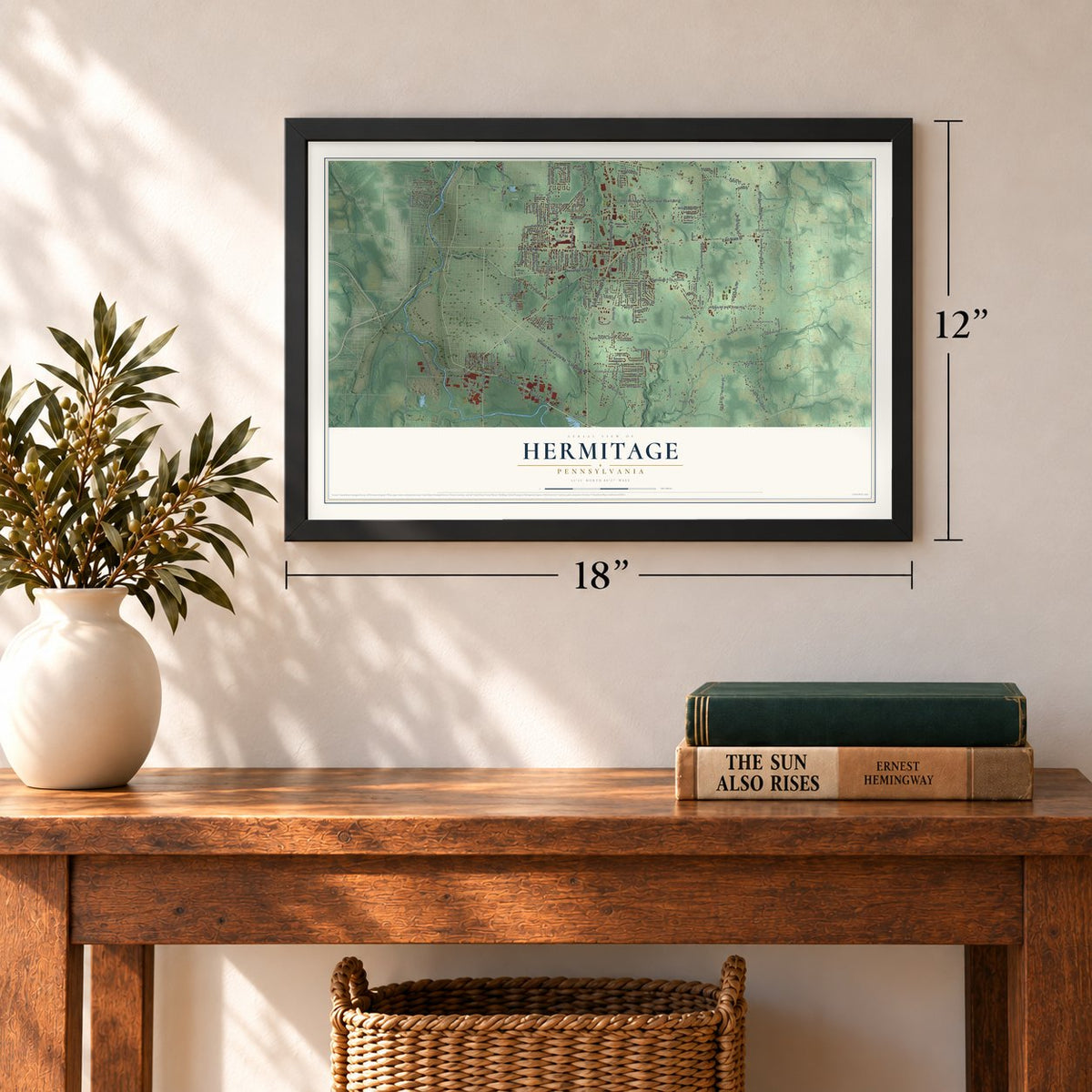
12" x 18" Archival Matte Print
A Map of Home. A Work of Art.
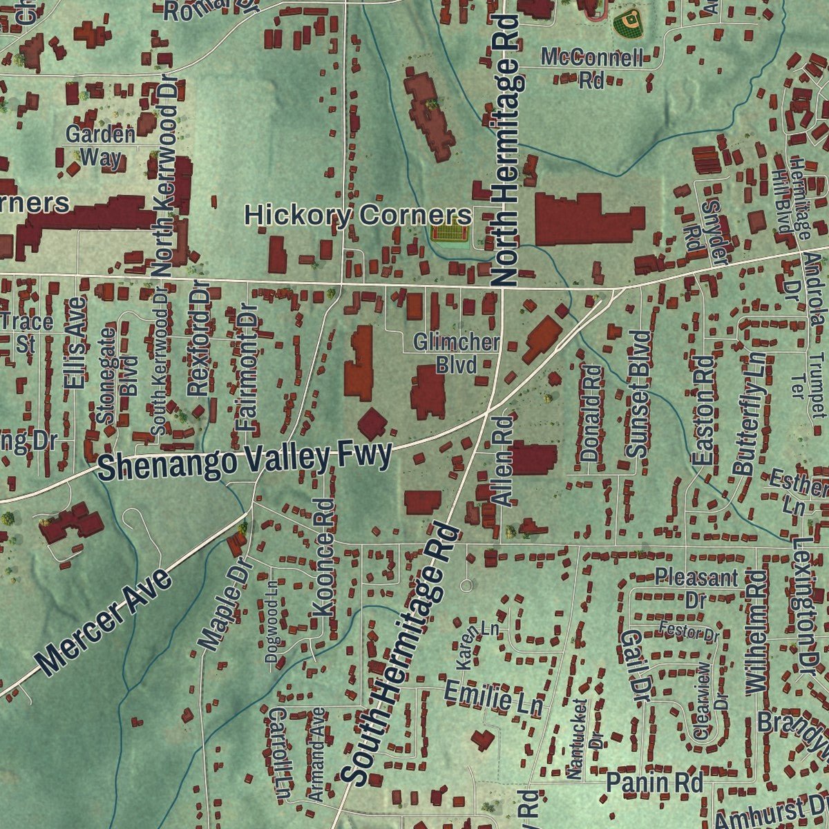
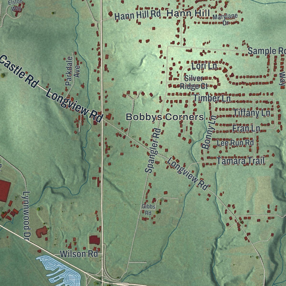
This beautifully detailed map of Hermitage, Pennsylvania was created in 2026 using aerial imagery combined with modern topographical, census, street and landmark data. It's a modern aerial view of Hermitage in Mercer County, Pennsylvania, that combines modern data with a vintage aesthetic. Zoom in on the preview and look for your block.

Three ways to hang it
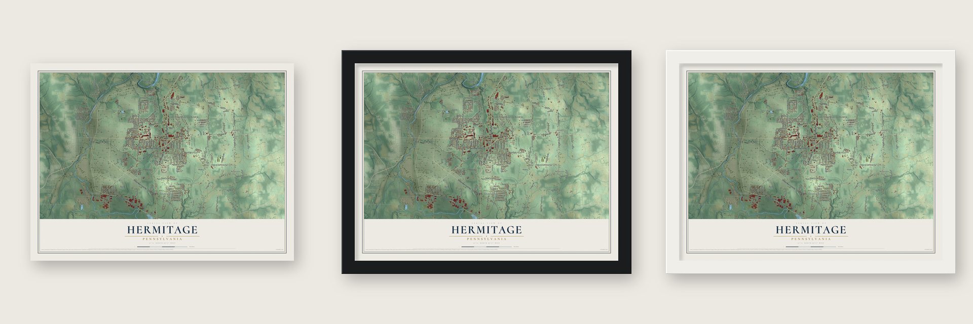
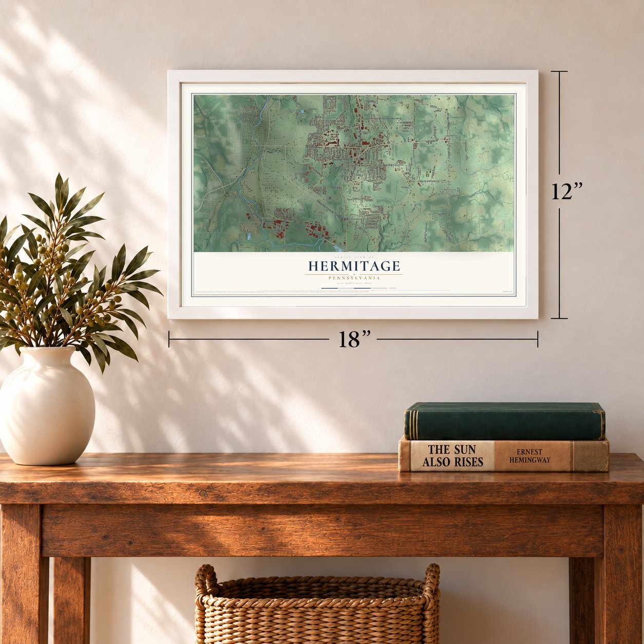
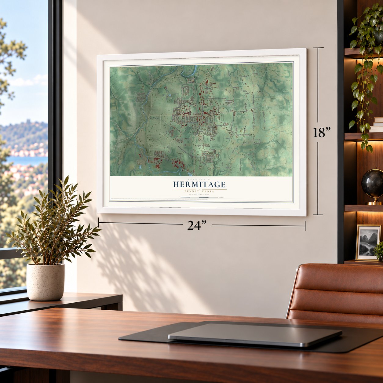
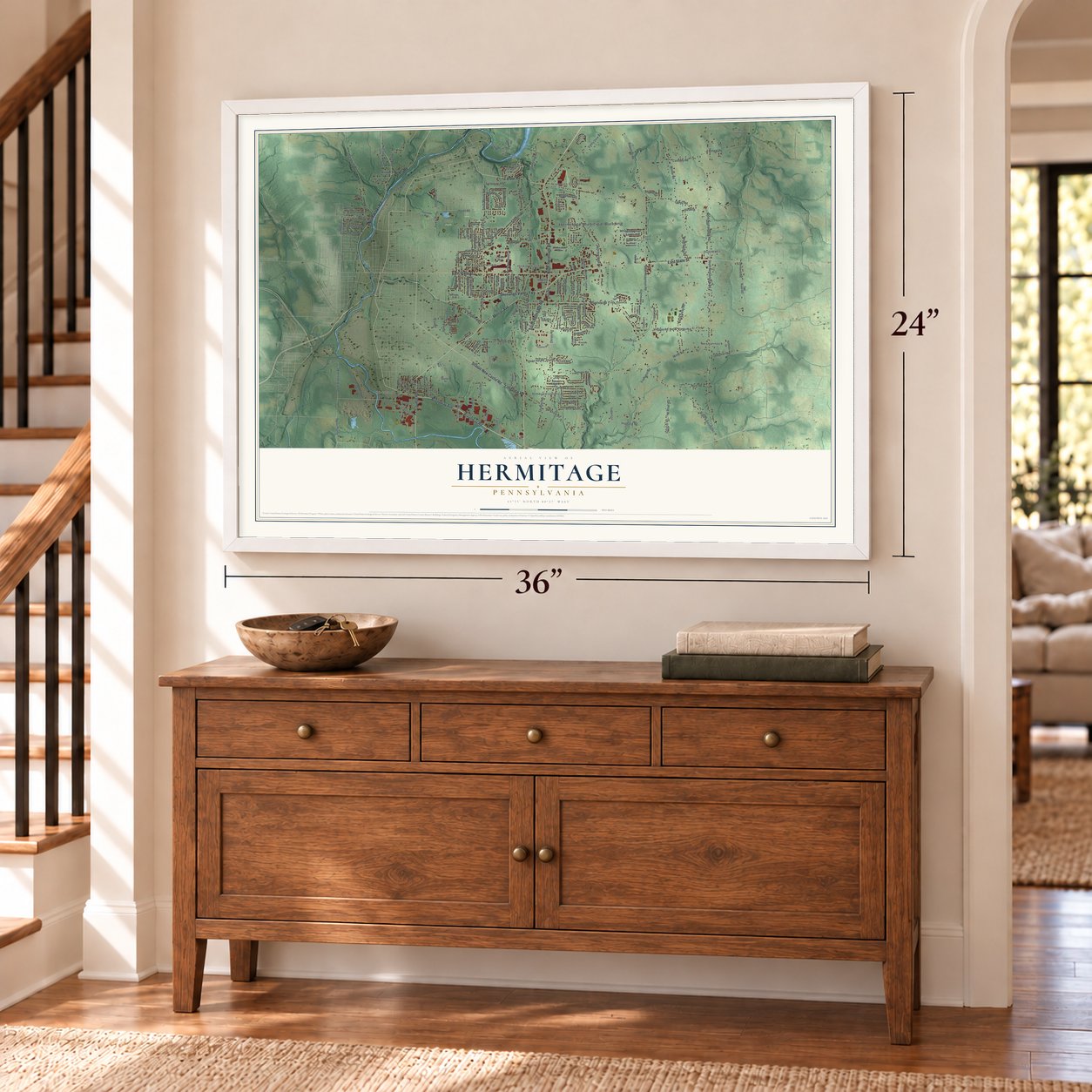
Unframed archival matte, a black wood frame or a white wood frame.
Up close
Real geography. Art worth displaying.
This map was created using accurate cartographic data and authoritative geographic sources, including the U.S. Geological Survey and the Census Bureau. The map brings together terrain, waterways, roads, and building detail. The majority of the streets are labeled, houses are accurately depicted, and the topography is derived from government sources. Combining local data with carefully composed color and shading leads to this beautifully detailed Hermitage artwork for your wall.
Rather than simply showing street outlines, we’ve included as many of the street names as we could reasonably fit on the map while keeping their names legible. Zoom in on the high resolution preview to see exactly what’s on the map. We truly set out to create a statement piece for anyone who loves Hermitage. So whether it’s for you, or a gift for someone you love, we hope this map of Hermitage brings back fond memories.
Read the story behind this map of Hermitage, Pennsylvania from 2026.

About Hermitage, Pennsylvania
Hermitage is a city in Mercer County, Pennsylvania. The Census Bureau recorded 16,230 residents in 2020. The community is one of the locally named places that make up this part of the Commonwealth.
- County settingHermitage is located in Mercer County, within Pennsylvania.
- 16,230 residentsThe Census Bureau recorded this population in 2020.
- National Register recordBuhl, Frank H., Mansion, Pierce, Jonas J., House, and First Universalish Church of Sharpsville appear in the source packet's National Register results.
Find your street
Names on the Hermitage map
Every name below is printed on this map. Look for your street, your school, the park where you played, or the pond down the road.
Places and landmarks14
- Hermitage Municipal Building
- Patagonia
- Wheatland
- Buhl Park
- Kite Field
- Bobbys Corners
- Dutch Hill
- Five Points
- Hann Hill
- Hickory Corners
- Lamonts Corners
- Neshannock
Show all 14 places
- New Virginia
- Trouts Corners
Streets and roads216
- Shenango Valley Fwy
- Broadway Road
- Mercer Avenue
- Broadway Avenue
- South Hermitage Road
- North Hermitage Road
- Lamor Road
- Sharon New Castle Road
- Longview Road
- East State Street
- North Water Avenue
- Council Avenue
- River Road
- County Route 3015
- Wilson Road
- Forker Boulevard
- South Tenth Street
- Dutch Lane
- South State Line Road
- State Line Road
- Maple Drive
- South Mercer Avenue
- Downing Lane
- Hazen Road
- North Buhl Farm Drive
- Station Street
- South Keelridge Road
- South Neshannock Road
- Robertson Road
- North Neshannock Road
Show all 216 streets
- Sample Road
- South Darby Road
- Lynnwood Drive
- Morefield Road
- Highland Road
- Orangeville Road
- Spangler Road
- Valley View Road
- Winner Road
- Christy Road
- Frampton Road
- Virginia Road
- Cassady Road
- Hogback Road
- Wise Road
- Clarksville Road
- Miller Road
- Ohio Street
- North Darby Road
- South Buhl Farm Drive
- Trout Island Road
- Spencer Road
- Twp Road 442
- Cohasset Drive
- Rombold Road
- Lori Lane
- Lyle Drive
- Pine Hollow Boulevard
- Smith Avenue
- Pierce Bluffs Drive
- Whippoorwill Drive
- Easton Road
- Timber Lane
- Hassel Road
- Hofius Lane
- Dermond Road
- Sunset Boulevard
- Brandywine Drive
- Hoezle Road
- Frogtown Road
- Lexington Drive
- Tamara Trail
- Twp Road 388
- King Drive
- South Robertson Road
- Hann Hill Road
- Wilhelm Road
- Wakefield Drive
- Theresa Avenue
- Koonce Road
- Panin Road
- Jack O'Donnell Drive
- North Kerrwood Drive
- Greenwood Avenue
- Butterfly Lane
- Crawford Drive
- Chestnut Street
- Boyd Drive
- Ellis Avenue
- Gail Drive
- Bonny Lane
- Grove Street
- Woodside Drive
- Quality Lane
- Fran Lane
- Freedland Road
- Tiffany Lane
- Twitmeyer Avenue
- Wick Avenue
- Ridgewood Drive
- Fairmont Drive
- Lillian Drive
- Emilie Lane
- Scott Drive
- Amhurst Drive
- Sheridan Street
- Skyline Drive
- Charlotte Avenue
- Kirila Boulevard
- Baker Avenue
- Sonoff Lane
- Schwartz Lane
- Allen Road
- Rettig Drive
- Herr Street
- Elmo Avenue
- Madison Street
- Knapp Avenue
- Rexford Drive
- Romar Drive
- Donna Drive
- Tenth Street
- North State Line Road
- Androla Drive
- North Keel Ridge Road
- Quaker Circle
- Foxwood Drive
- American Way
- McConnell Road
- Kelly Road
- Richmond Drive
- Trace Street
- South Crescent Drive
- Lorenwood Drive
- Morton Street
- Bobwhite Drive
- Canal Street
- Stonegate Boulevard
- Church Street
- Anderwood Drive
- West Park Street
- Todd Avenue
- Emerson Avenue
- Carroll Lane
- Parkdale Avenue
- Royal Oaks Court
- Lee Run Road
- Silver Ridge Court
- Pleasant Drive
- Teaberry Lane
- Shady Avenue
- Clinton Street
- Thornton Avenue
- Donald Road
- Hoffman Lane
- Garden Way
- Industrial Road
- Glimcher Boulevard
- Stockton Road
- Fairlawn Drive
- Saint Marys Road
- Twp Road 492
- Daniel Drive
- Camelot Drive
- Snyder Road
- Kossuth Street
- Avalon Drive
- Llodio Drive
- Mary Street
- Kieffer Drive
- Esther Lane
- Hermitage Hill Boulevard
- South Kerrwood Drive
- Innovation Way
- Superior Street
- Clearview Drive
- Main Street
- Hasenflu Drive
- Monticello Avenue
- Marylane Drive
- Clay Furnace Road
- Parke Drive
- Lakeview Drive
- Tuscany Court
- Briarwood Road
- Karen Lane
- Pine Cone Drive
- Woodlawn Drive
- Armand Avenue
- Coolidge Drive
- Nantucket Drive
- Audubon Drive
- Trumpet Terrace
- Diana Avenue
- Lunn Boulevard
- Anne Lane
- George Street
- Stone Ridge Boulevard
- Ashland Drive
- Saratoga Drive
- Brookshire Drive
- Elston Way
- Festor Drive
- East Street
- Dogwood Lane
- Mary Jude Court
- Fairfield Drive
- Orange Drive
- Cherry Hill Lane
- Flint Drive
- Reon Street
- Revere Drive
- Golden Run Lane
- Dalton Avenue
- Gibbs Road
- Fred Street
Names are listed as they appear on the printed map. Zoom into the product photos to find them.
The art of mapping a place
How This Map Was Made
Real places. Remarkable detail. Discover the layers that turn geographic data into a map of home.

The view from above
Aerial imagery reveals the character of the land: woodland, open fields, and the patterns of a place.

The shape of the land
Elevation data brings hills, valleys, and subtle changes in the landscape into view.

The details of home
Roads, waterways, and building footprints come together to make the map feel unmistakably local.

Geography becomes art
Considered color, shading, and typography bring the layers together in a map made for your wall.


Process illustrated with Mendon, Massachusetts. Aerial imagery: USDA NAIP. Terrain: USGS 3D Elevation Program. Map details and finished artwork: KNOWOL.
The Details
About This Print
Choose an archival matte print, or a black or white Ayous wood frame. The archival matte print is unframed.
Select your size and finish above to see the matching product image and price.
Materials & Craftsmanship
A contemporary map with the character of a classic atlas, printed on archival matte paper. Optional frames are made from Ayous wood.
Your printed map does not include the watermark shown in the full-map preview.
Shipping & Delivery
Free shipping within the United States. Every print is made to order in the USA.
Buying a gift? Add a note in your cart and we'll include it. We never put prices in the package.
Prints ship within 2 to 3 business days. Allow 7 to 10 days total from ordering for delivery. Timing may vary during holidays or periods of high order volume.
Read our shipping policy.
Returns and damaged prints
Each print is made to order. Change-of-mind refunds are not available after production.
If your print arrives damaged, misprinted or incorrect, contact support@knowol.com within 30 days of receiving it. Include your order number, photos and a description of the issue.
Read our full refund and replacement policy. For questions about your order, email support@knowol.com.
Find your town
Looking for another city?
Find a map of home in our Pennsylvania collection.
Nearby
Maps of towns near Hermitage
Know someone from one of these towns? Their map makes a great gift.
 Sharpsville
, Pennsylvania
From $39.99See the map
 Sharon
, Mercer County, Pennsylvania
From $39.99See the map
 Farrell
, Pennsylvania
From $39.99See the map
More maps nearby: West Middlesex, Clark, Lackawannock, Shenango and Jefferson.