
Search for another town




Free U.S. delivery 7 to 10 days after you order
Houston, Texas Map Art
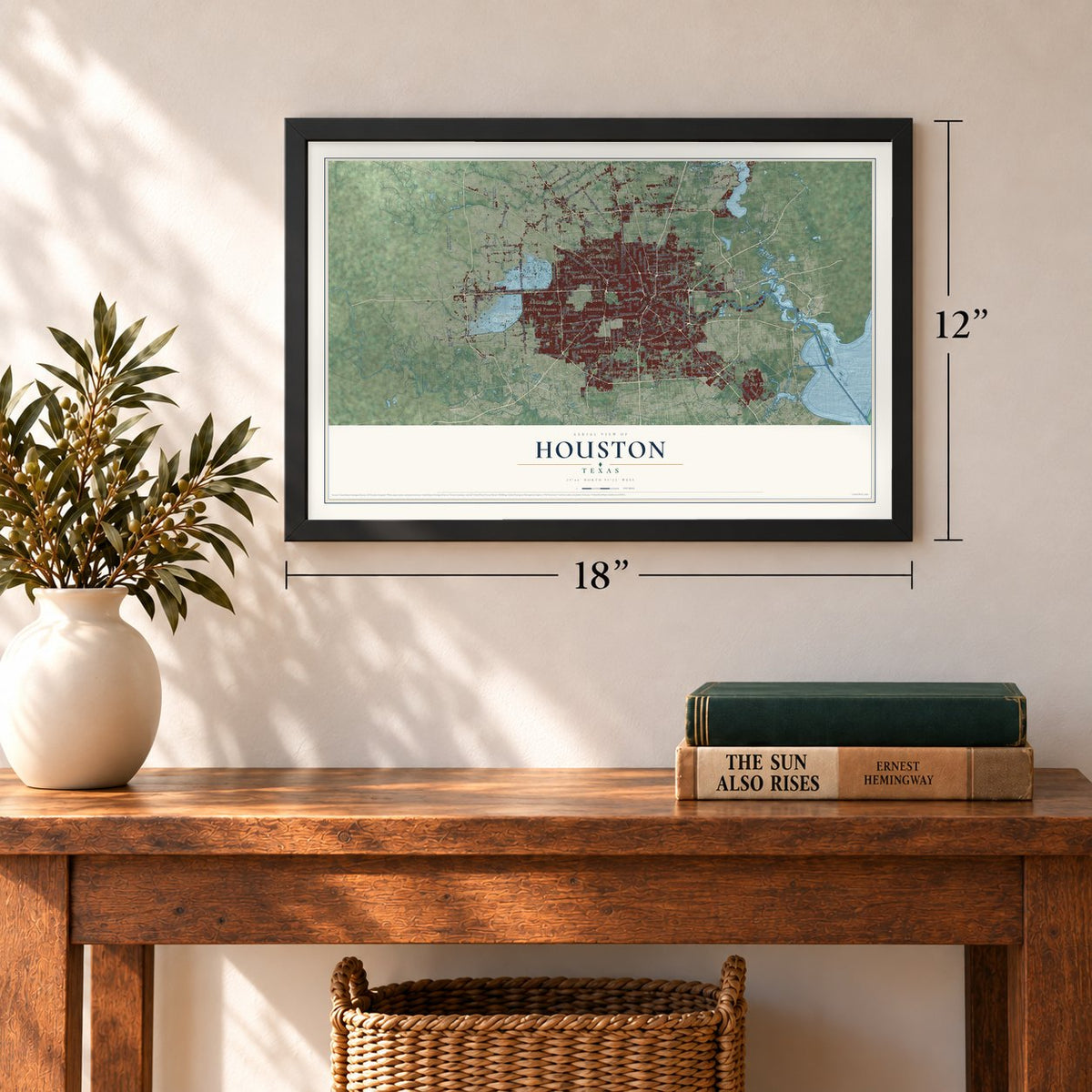
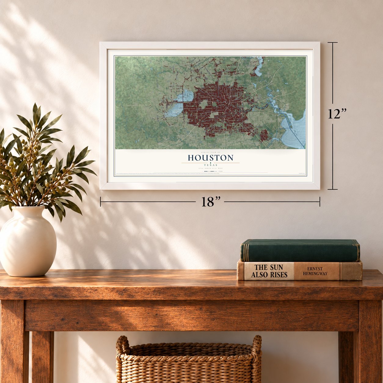
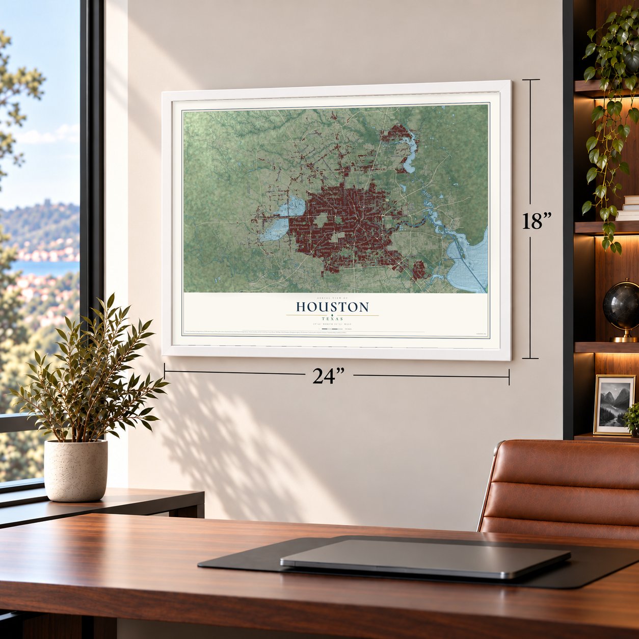
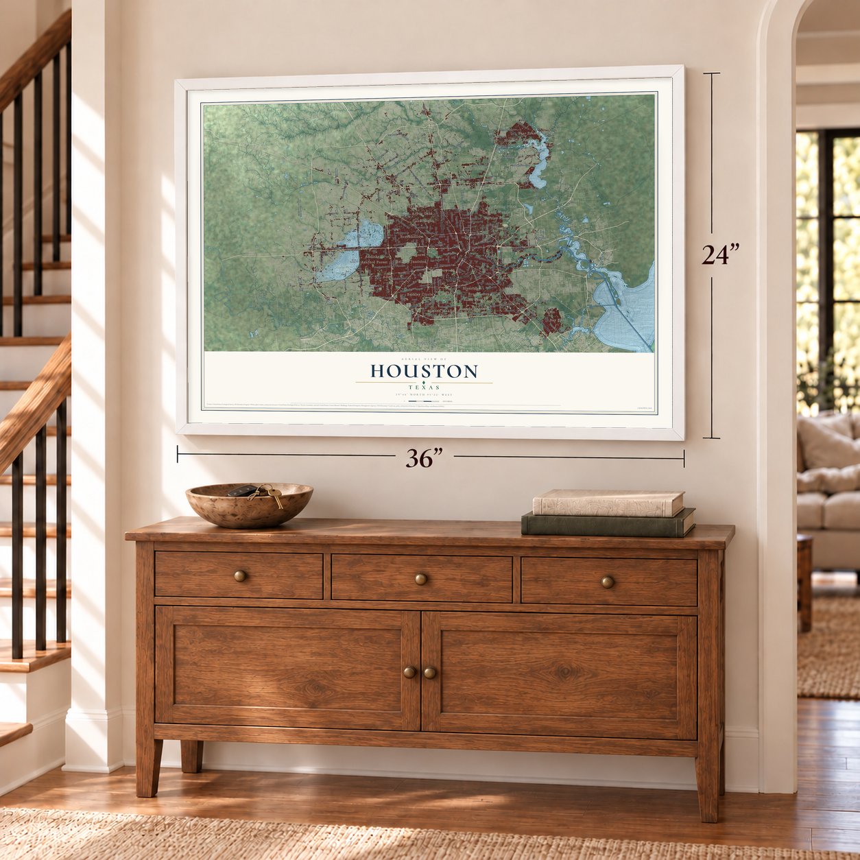
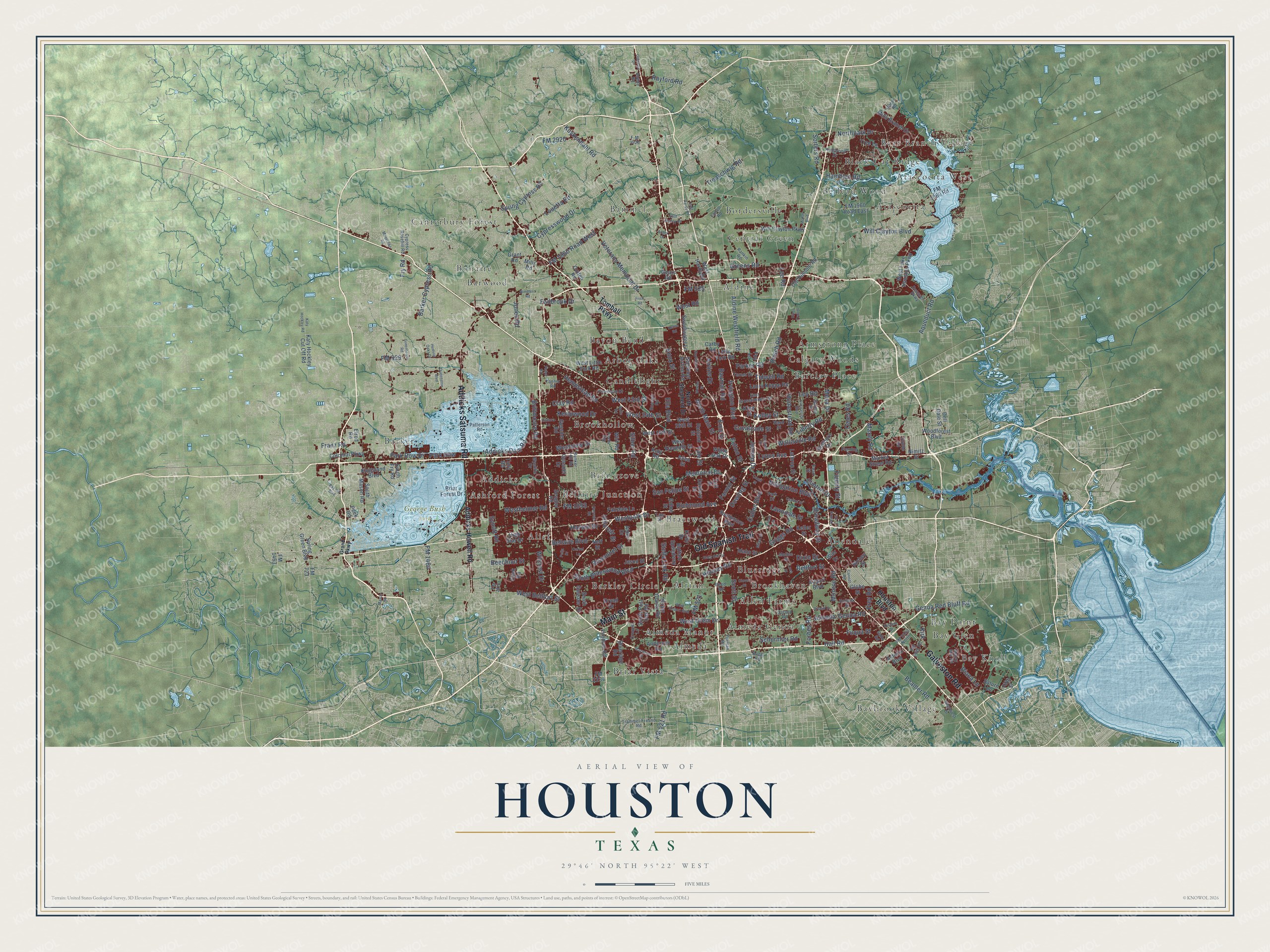
A new map of Houston, Texas, made in 2026 and printed to order on thick archival matte paper.
12" x 18" Archival Matte Print
A Map of Home. A Work of Art.
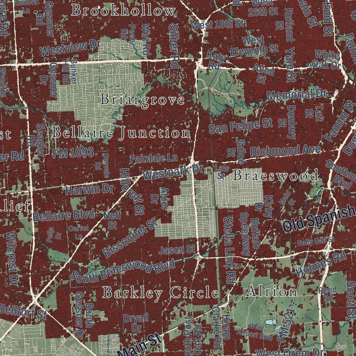
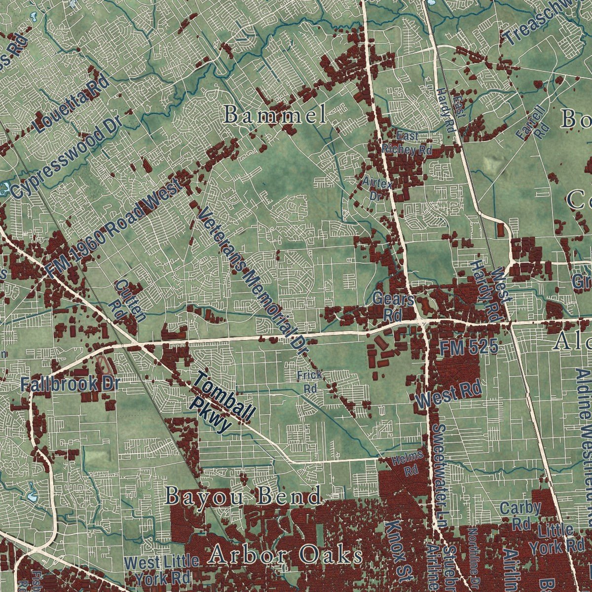
This beautifully detailed map of Houston, Texas was created in 2026 using aerial imagery combined with modern topographical, census, street and landmark data. It's a modern aerial view of Houston in Harris County, Texas, that combines modern data with a vintage aesthetic. Zoom in on the preview and look for your block.
Three ways to hang it
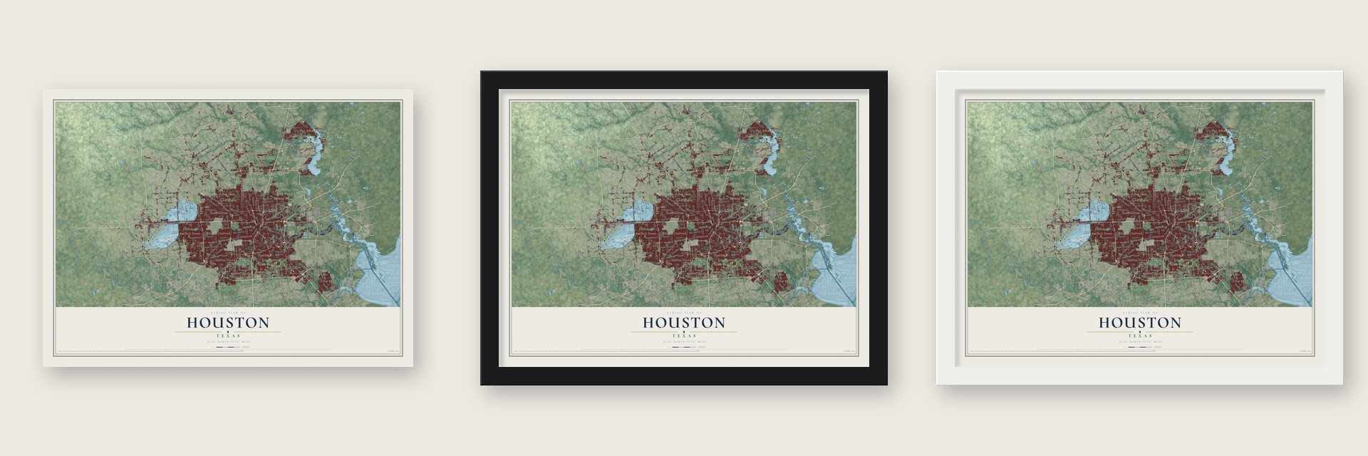
Unframed archival matte, a black wood frame or a white wood frame.
Up close
Real geography. Art worth displaying.
This map was created using accurate cartographic data and authoritative geographic sources, including the U.S. Geological Survey and the Census Bureau. The map brings together terrain, waterways, roads, and building detail. The majority of the streets are labeled, houses are accurately depicted, and the topography is derived from government sources. Combining local data with carefully composed color and shading leads to this beautifully detailed Houston artwork for your wall.
Rather than simply showing street outlines, we’ve included as many of the street names as we could reasonably fit on the map while keeping their names legible. Zoom in on the high resolution preview to see exactly what’s on the map. We truly set out to create a statement piece for anyone who loves Houston. So whether it’s for you, or a gift for someone you love, we hope this map of Houston brings back fond memories.

About Houston, Texas
Houston was founded by land investors on August 30, 1836, where Buffalo Bayou meets White Oak Bayou, at the spot now called Allen's Landing. It was named for Sam Houston, president of the Republic of Texas, and served briefly as the republic's capital in the late 1830s.
- Space CityNASA's Johnson Space Center, home to Mission Control, is here.
- Texas Medical CenterThe city holds the world's largest concentration of healthcare and research institutions.
- The Ship ChannelGalveston's decline after the 1900 hurricane and the new Houston Ship Channel turned Houston into a major port.
- 2,304,580 peopleCounted in the 2020 census, the fourth most of any city in the country.
Find your street
Names on the Houston map
Every name below is printed on this map. Look for your street, your school, the park where you played, or the pond down the road.
Places and landmarks41
- George Bush Park
- Addicks
- Aldine
- Alief
- Allen Farms
- Allendale
- Almeda
- Almeda Genoa
- Almeda Manor
- Alrion
- Arbor Oaks
- Armstrong Place
Show all 41 places
- Ashford Forest
- Atascocita
- Atascocita West
- Bammel
- Barclay Place
- Barker
- Barkley Circle
- Barwood
- Bay Glen
- Bay Knoll
- Bay Point
- Baybrook Village
- Bayou Bend
- Bear Branch Village
- Bellaire Junction
- Belleau Wood
- Black Cat Ridge
- Blueridge
- Bonaire
- Bordersville
- Braeswood
- Briar Vista
- Briargrove
- Brookhaven
- Brookhollow
- Calgary Woods
- Candlelight
- Canterbury Forest
- Central Green
Streets and roads267
- Main Street
- Old Spanish Trail
- Galveston Road
- Addicks Satsuma Road
- FM 1093
- Westheimer Road
- Memorial Drive
- Aldine Westfield Road
- Cullen Boulevard
- Cypresswood Drive
- Richmond Avenue
- Barker Cypress Road
- FM 521
- Westpark Drive
- Almeda-Genoa Road
- Clay Road
- Bellaire Boulevard
- FM 1960 Road West
- Bissonnet Street
- Homestead Road
- Kuykendahl Road
- West Bellfort Street
- Beechnut Street
- Fry Road
- Tidwell Road
- Hillcroft Street
- Airline Drive
- Spring Cypress Road
- West Orem Drive
- Hempstead Road
Show all 267 streets
- Wallisville Road
- Northpark Drive
- Bellfort Street
- Fuqua Street
- Louetta Road
- Beamer Road
- Cavalcade Street
- Scott Street
- San Felipe Street
- South Braeswood Boulevard
- Irvington Boulevard
- Wilcrest Drive
- Yale Street
- Veterans Memorial Drive
- Fallbrook Drive
- Fannin Street
- Mesa Drive
- Jensen Drive
- Ella Boulevard
- Greens Road
- Hirsch Road
- Addicks Dam Road
- Clinton Drive
- FM 529
- Kelley Street
- Parker Road
- Fulton Street
- Lawndale Street
- Holmes Road
- Lee Road
- Synott Road
- Westview Drive
- West 43rd Street
- Brittmoore Road
- Harwin Drive
- Liberty Road
- Jones Road
- North Main Street
- Kempwood Drive
- Park Row Drive
- West 34th Street
- Griggs Road
- Navigation Boulevard
- Monroe Road
- Broadway Street
- Dixie Drive
- Genoa Red Bluff Road
- West Road
- Aqueduct Road
- FM 2920
- Lyons Avenue
- Bauman Road
- Ley Road
- Oates Road
- Schurmier Road
- Rayford Road
- Park Row
- Franz Road
- Knox Street
- Will Clayton Boulevard
- Hall Road
- FM 525
- Dowling Street
- Treaschwig Road
- Hamblen Road
- Stella Link Road
- Fidelity Street
- Maxey Road
- Diana Lane
- Sorters Road
- FM 1464
- FM 521 Road
- Silber Road
- Forbes Road
- Frey Road
- Enid Street
- Kirk
- Addicks Howell Road
- Tomball Parkway
- Houston Boulevard
- West Lake Houston Parkway
- West Little York Road
- Fondren Road
- Airport Boulevard
- Will Clayton Parkway
- Little York Road
- Briar Forest Drive
- South Mason Road
- Kirby Drive
- Buffalo Speedway
- Kingsland Boulevard
- South Post Oak Road
- Peek Road
- Woodforest Boulevard
- Gessner Road
- West Hardy Road
- FM 1960 Road East
- South Fry Road
- FM 1960 Road
- Laura Koppe Road
- Grant Road
- Gellhorn Drive
- FM 2234
- Spring Green Boulevard
- Market Street Road
- Colonial Parkway
- Hiram Clarke Road
- Anderson Road
- High Star Drive
- Stuebner Airline Road
- West 18th Street
- Cook Road
- Jason Street
- South Gessner Drive
- Katy Hockley Cut Off Road
- Neff Street
- West Eleventh Street
- Fairdale Lane
- Mills Road
- Mills Branch Drive
- Gessner Drive
- Wirt Road
- Cutten Road
- Sweetwater Lane
- Allen Street
- White Oak Drive
- King Street
- Southmore Boulevard
- Old Humble Road
- Rutland Street
- Dunlavy Street
- Blueridge Road
- Edloe Street
- Lathrop Street
- Nimitz Street
- West 26th Street
- Alder Drive
- Idaho Street
- Saturn Lane
- Dryad Drive
- Dell Dale Street
- Tree Lane
- Gears Road
- Seagler Road
- Astoria Boulevard
- Keller Street
- Globe Street
- Taft Street
- Fifth Street
- Richey Street
- Carby Road
- Elrod Road
- FM 723
- Tully Road
- Katy Road
- Wier Drive
- FM 1463
- Foy Lane
- North Shepherd Drive
- Kingwood Drive
- Reed Road
- Pinemont Drive
- Rankin Road
- East Crosstimbers Street
- Turner Drive
- Wycliffe Drive
- Deussen Parkway
- Moline Street
- Trammel-Fresno Road
- Tanner Road
- Farrell Road
- Rand Street
- Cypress Rosehill Road
- Uvalde Road
- Glenwest Drive
- Rosslyn Road
- Fleming Drive
- Furman Road
- Patterson Road
- Pearl Street
- Russell Street
- Bunker Hill Road
- Pech Road
- Sabo Road
- Bacher Street
- Croquet Lane
- Budde Road
- Hueni Road
- FM 2553 North
- Hollock Street
- FM 1959 Road
- Mabry Mill Road
- Carson Road
- Park Drive
- Dagg Road
- F-M 2920
- FM 1876
- Law Street
- Grand Parkway
- West Airport Boulevard
- East Hardy Road
- Greenhouse Road
- Queenston Boulevard
- Canal Street
- Windfern Road
- Carvel Lane
- Capitol Street
- Emnora Lane
- Werner Street
- Mason Road
- East Richey Road
- Bay Hill Boulevard
- Kirkpatrick Boulevard
- Mueschke Road
- Holly Hall Street
- Central Street
- Northline Drive
- Katy Hockley Road
- McKay Boulevard
- Milart Street
- Clover Street
- Luce Street
- Braniff Street
- Pella Drive
- Maywood Street
- Dunvale Road
- Oakridge Drive
- Canniff Road
- Hudson Oaks Drive
- Kurland Drive
- River Trail Drive
- Bolin Road
- Jean Street
- Airtex Drive
- Helms Road
- Fisher Road
- Frick Road
Names are listed as they appear on the printed map. Zoom into the product photos to find them.
The art of mapping a place
How This Map Was Made
Real places. Remarkable detail. Discover the layers that turn geographic data into a map of home.

The view from above
Aerial imagery reveals the character of the land: woodland, open fields, and the patterns of a place.

The shape of the land
Elevation data brings hills, valleys, and subtle changes in the landscape into view.

The details of home
Roads, waterways, and building footprints come together to make the map feel unmistakably local.

Geography becomes art
Considered color, shading, and typography bring the layers together in a map made for your wall.


Process illustrated with Mendon, Massachusetts. Aerial imagery: USDA NAIP. Terrain: USGS 3D Elevation Program. Map details and finished artwork: KNOWOL.
The Details
About This Print
Choose an archival matte print, or a black or white Ayous wood frame. The archival matte print is unframed.
Select your size and finish above to see the matching product image and price.
Materials & Craftsmanship
A contemporary map with the character of a classic atlas, printed on archival matte paper. Optional frames are made from Ayous wood.
Your printed map does not include the watermark shown in the full-map preview.
Shipping & Delivery
Free shipping within the United States. Every print is made to order in the USA.
Buying a gift? Add a note in your cart and we'll include it. We never put prices in the package.
Prints ship within 2 to 3 business days. Allow 7 to 10 days total from ordering for delivery. Timing may vary during holidays or periods of high order volume.
Read our shipping policy.
Returns and damaged prints
Each print is made to order. Change-of-mind refunds are not available after production.
If your print arrives damaged, misprinted or incorrect, contact support@knowol.com within 30 days of receiving it. Include your order number, photos and a description of the issue.
Read our full refund and replacement policy. For questions about your order, email support@knowol.com.
Find your town
Looking for another city?
Find a map of home in our Texas collection.
Nearby
Maps of towns near Houston
Know someone from one of these towns? Their map makes a great gift.
 West University Place
, Texas
From $39.99See the map
 Hilshire Village
, Texas
From $39.99See the map
 Southside Place
, Texas
From $39.99See the map
More maps nearby: Hunters Creek Village, Spring Valley Village, Bellaire, Hedwig Village and Piney Point Village.