
Search for another town
Free U.S. delivery 7 to 10 days after you order
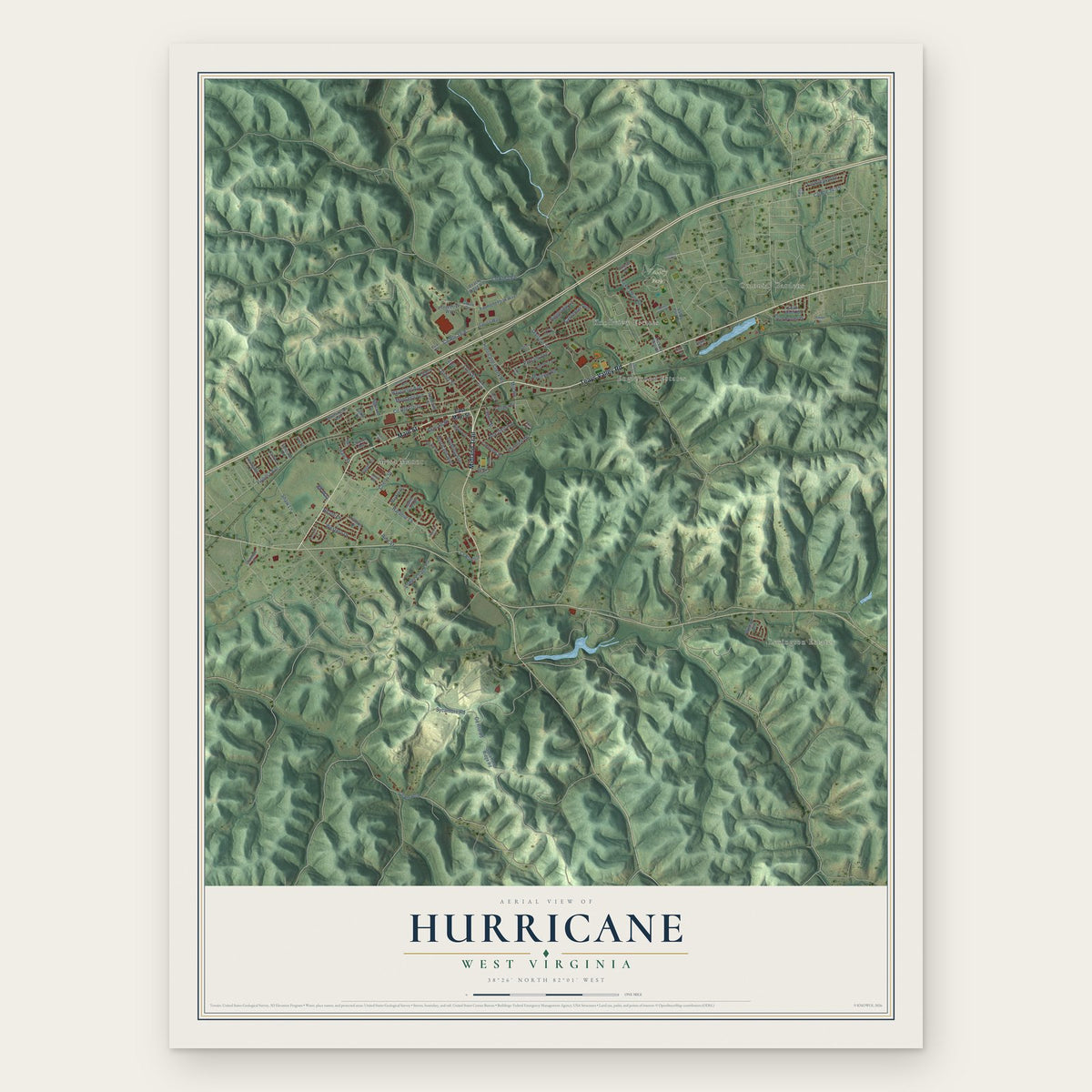
Hurricane, West Virginia Map Art
Building by building, with labeled streets and shaded relief.
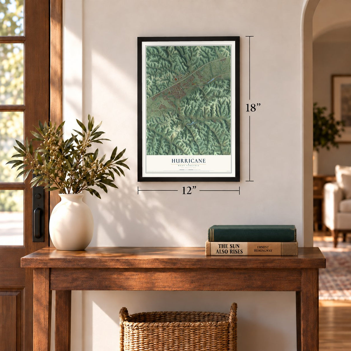
12" x 18" Archival Matte Print
A Map of Home. A Work of Art.
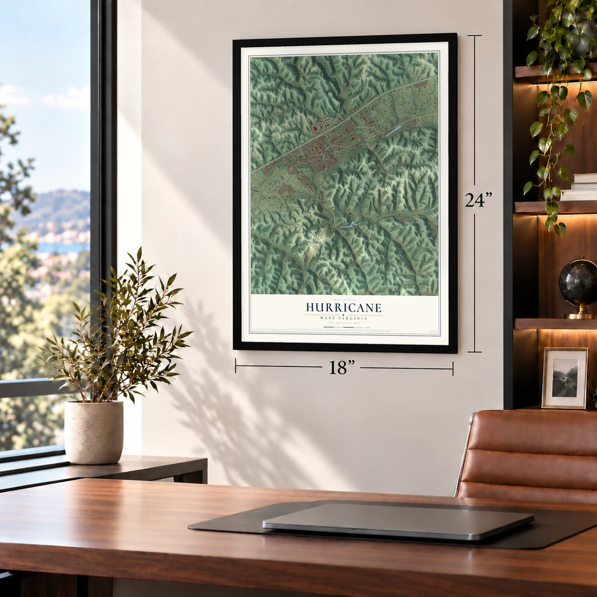
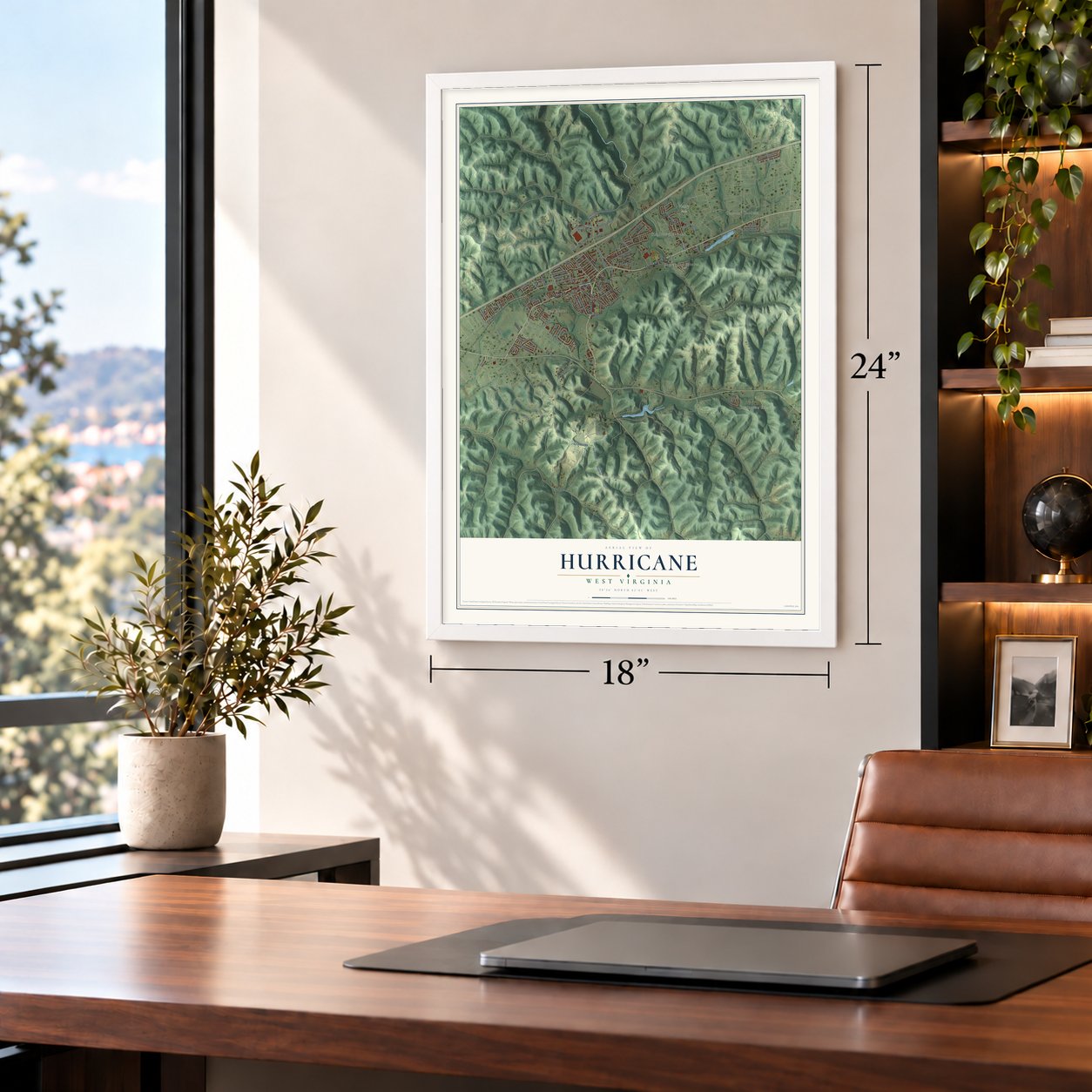
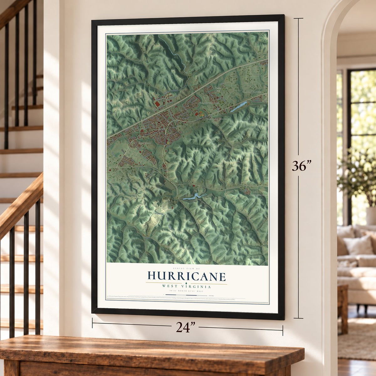
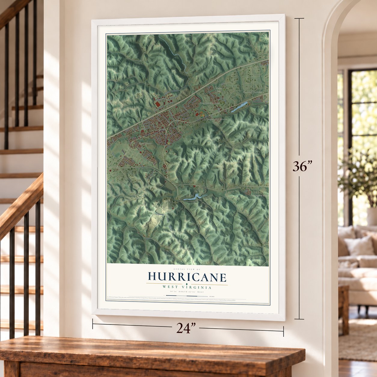
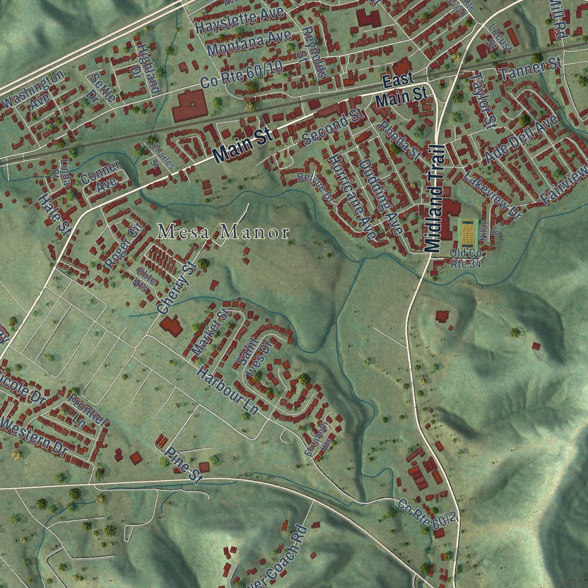
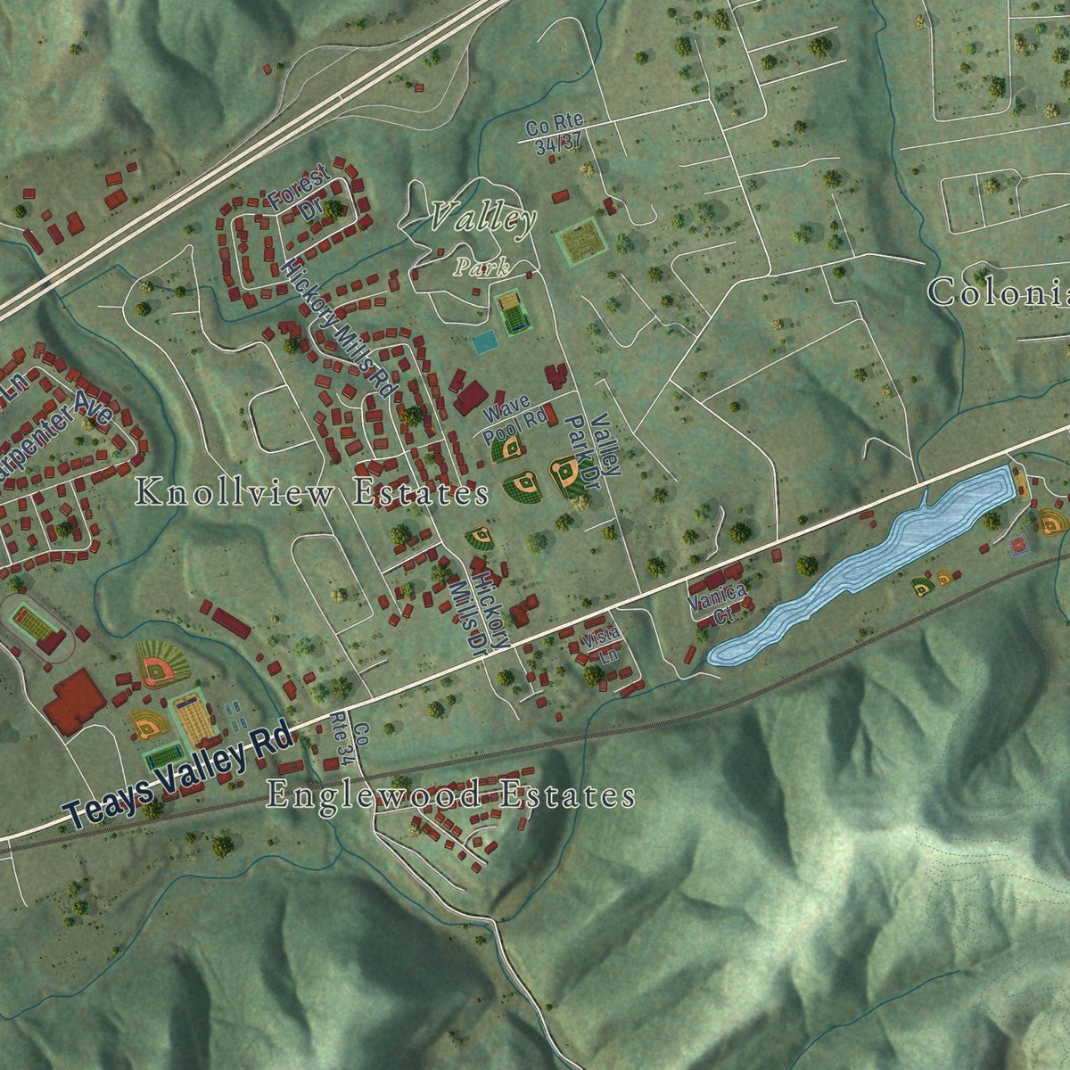
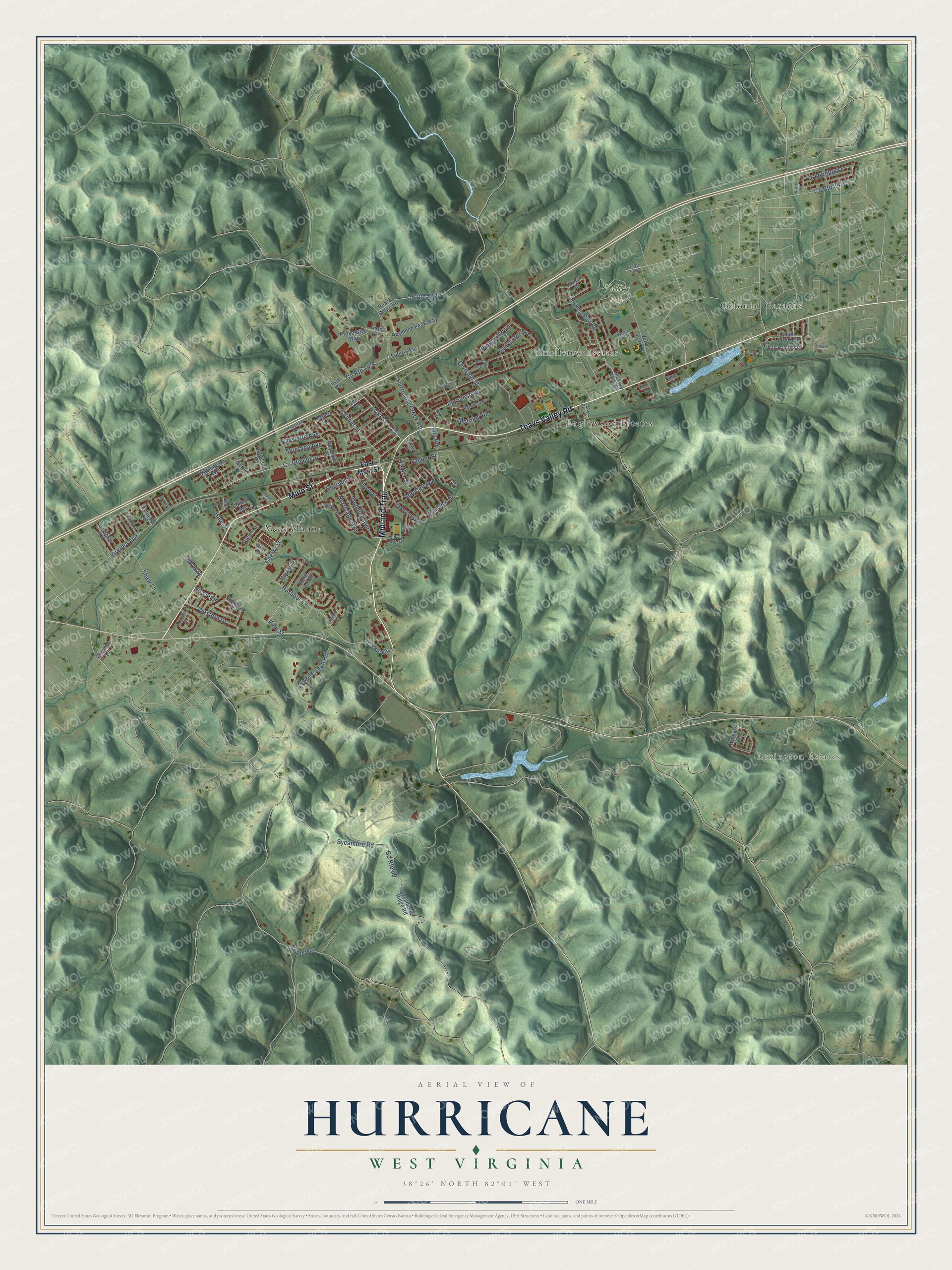
Explore Hurricane, West Virginia from a whole new perspective. Created using aerial imagery and detailed geographic data, this map captures Hurricane building by building, with labeled streets, familiar landmarks, and shaded topographical relief that highlights the natural contours of the landscape.
Combining modern data with the timeless character of a vintage atlas, this map is just as interesting up close as it is beautiful on the wall. Whether you grew up in Hurricane, spent memorable years there, or call it home today, this unique map is a great way to celebrate a place that means something to you. Zoom in on the preview to look for your street, and then order a print to put your memories on the wall.
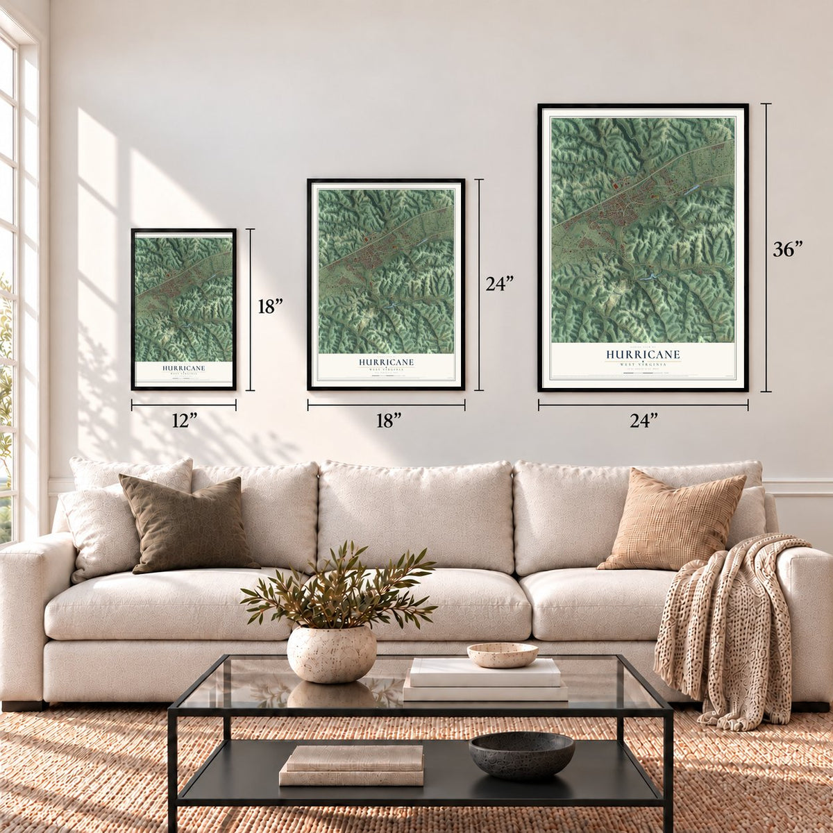
Three ways to hang it
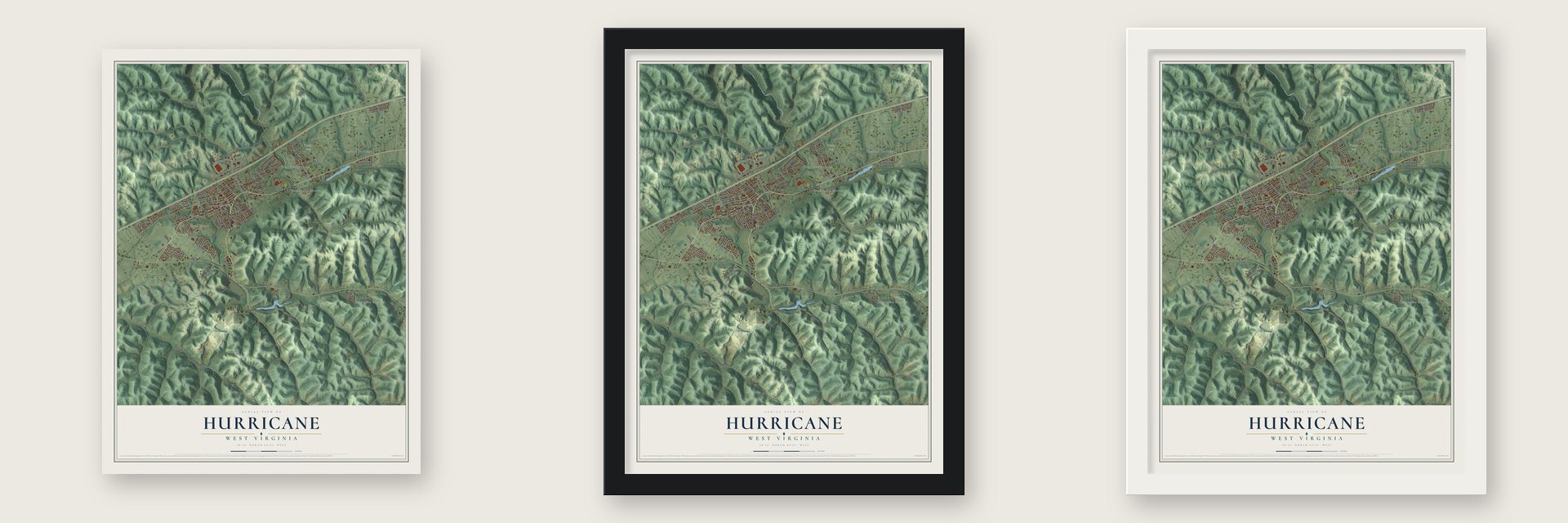
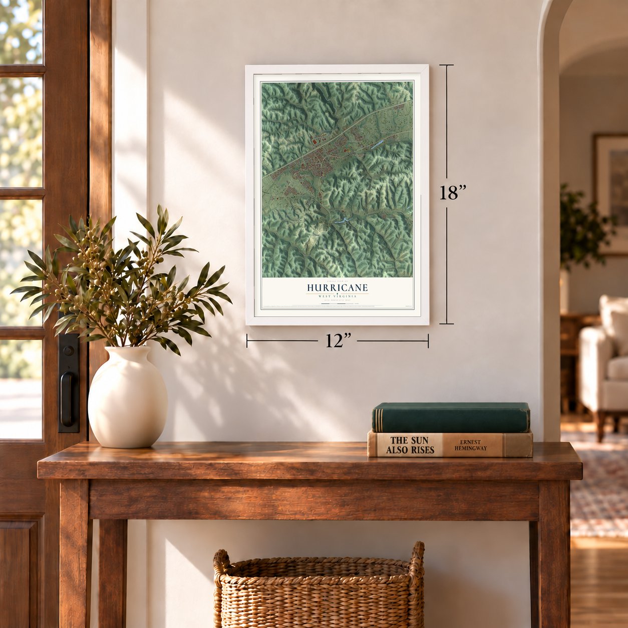
Unframed archival matte, a black wood frame or a white wood frame.
Up close
Geography Worth Displaying
This map was created using accurate cartographic data and authoritative geographic sources, including the U.S. Geological Survey and the Census Bureau. The map brings together terrain, waterways, roads, and building detail. The majority of the streets are labeled, houses are accurately depicted, and the topography is derived from government sources. Combining local data with carefully composed color and shading leads to this beautifully detailed Hurricane artwork for your wall.
Rather than simply showing street outlines, we’ve included as many of the street names as we could reasonably fit on the map while keeping their names legible. Zoom in on the high resolution preview to see exactly what’s on the map. We truly set out to create a statement piece for anyone who loves Hurricane. So whether it’s for you, or a gift for someone you love, we hope this map of Hurricane brings back fond memories.
Read the story behind this map of Hurricane, West Virginia from 2026.
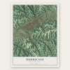
Find your street
Names on the Hurricane map
Every name below is printed on this map. Look for your street, your school, the park where you played, or the pond down the road.
Places and landmarks6
- Lexington Estates
- Valley Park
- Colonial Gardens
- Englewood Estates
- Knollview Estates
- Mesa Manor
Streets and roads88
- Teays Valley Road
- Main Street
- Midland Trail
- Putnam Avenue
- Lynn Street
- Virginia Avenue
- Hurricane Creek Road
- Second Street
- Sycamore Road
- Pine Street
- Harbour Lane
- County Route 50
- Cherry Street
- Carpenter Avenue
- Farmington Drive
- Shaw Lane
- Montana Avenue
- Dudding Avenue
- Western Drive
- Ridgeview Lane
- Conner Street
- Mill Road
- Lower Coach Road
- Ade Dell Avenue
- Nicole Drive
- Hurricane Avenue
- Fairview Drive
- Hale Street
- Division Street
- Hayslette Avenue
Show all 88 streets
- Morning Road
- Tanner Street
- Taylor Street
- BB Way
- East Main Street
- Lee Avenue
- South Brooke Drive
- Grace Drive
- Hickory Mills Drive
- Sycamore Ridge Road
- Washington Avenue
- Hickory Mills Road
- Peach Ridge Road
- South Brook Drive
- Winners Circle
- Saint Ives Drive
- Market Street
- Frontier Lane
- Raymond Peak Way
- Vaturia Drive
- Conner Avenue
- Forest Drive
- Emerald Drive
- Lakeview Drive
- Progessive Way
- Reynolds Street
- Roger Circle
- Rhoda Street
- Hampton Lane
- Valley Park Drive
- Saturn Way
- Clarmor Drive
- Settle Drive
- Highland Drive
- Park Road
- Kanawha Avenue
- Wave Pool Road
- Belvue Drive
- Elite Heights
- Old County Route 34
- Cardinal Lane
- Vanica Court
- County Route 34
- Locust Street
- Kathy Drive
- Linda Street
- Ariel Drive
- Carlisle Street
- Victorian Place
- Henderson Avenue
- Sapphire
- Rose Crest Drive
- Elizabeth Heights
- Nilan Drive
- Charles Street
- Chase Drive
- Baker Street
- Vista Lane
Names are listed as they appear on the printed map. Zoom into the product photos to find them.
About Hurricane, West Virginia
Hurricane is a city of 6,961 people in Putnam County, about halfway between Charleston and Huntington. It takes its name from Hurricane Creek. Surveyors sent out by George Washington found a stand of trees there all bent the same way, as if a hurricane had blown through, and the creek and later the town carried the name. Locals say HURR-i-KINN, not HURR-i-CANE.
The town grew up around the railroad. When the track came through in 1873 with a small depot, stores opened and Main Street took shape. Hurricane became a town in 1888, and in the early 1900s tobacco growers and other farmers came here to trade and to live. It became a city in the 1970s. New subdivisions in the 1990s brought so many people that Route 34 was widened and Hurricane High School was expanded. Around the same time the old depot came down, and a small gazebo now stands in its place.
- Battle of Hurricane Bridge, 1863Hurricane Bridge, a settlement on an 1811 Virginia map, stood where Route 34 crosses the creek and was mostly one large inn. On March 28, 1863, Albert G. Jenkins led Confederate cavalry of the 8th and 16th Virginia against William R. Brown's Union 13th West Virginia Infantry there. Beaten, the Confederates rode on to attack Point Pleasant for supplies. The win helped the Union keep the Kanawha Valley and the James River and Kanawha Turnpike to the war's end.
- A church burned in the warHurricane Baptist Church was organized on May 26, 1860, close to the old Hurricane Bridge, with F.H. Reynolds as its first clerk and James Mitchell as its first moderator. Its members met in a log meeting-house, which Civil War soldiers burned in 1863.
- In business since 1900The town's oldest businesses have never closed their doors. The weekly Hurricane Breeze started printing in October 1900. Putnam County Bank opened on October 25, 1901, and Rappold's Barber Shop began cutting hair in June 1906.
- An organ with 456 stopsAllen Harrah, who once worked for Rodgers Organs, built a six-manual organ for Forrest Burdette Memorial United Methodist Church that mixes pipes with digital voices. It was inaugurated on September 28, 2003. Its 456 stops now bring visiting organists to a concert series there, among them Frederick Swann, Paul Jacobs and Isabelle Demers.
Keep exploring West Virginia
Hurricane is one of 514 West Virginia towns we've mapped. Every dot on the map is a print of its own.
The search covers every state, West Virginia first.
Near Hurricane
Order 2 or more town maps and save 10%. Shown in the size and finish you picked above, so they hang as a set.
- Culloden 12" x 18" / Archival Matte Print $39.99
- Teays Valley 12" x 18" / Archival Matte Print $39.99
- Milton 12" x 18" / Archival Matte Print $39.99
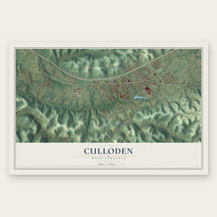

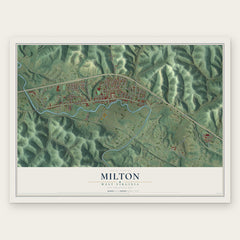
More maps nearby: Eleanor, Winfield, Rock Branch, Tornado and Bancroft.
The art of mapping a place
How This Map Was Made
Real places. Remarkable detail. Discover the layers that turn geographic data into a map of home.

The view from above
Aerial imagery reveals the character of the land: woodland, open fields, and the patterns of a place.

The shape of the land
Elevation data brings hills, valleys, and subtle changes in the landscape into view.

The details of home
Roads, waterways, and building footprints come together to make the map feel unmistakably local.

Geography becomes art
Considered color, shading, and typography bring the layers together in a map made for your wall.


Process illustrated with Mendon, Massachusetts. Aerial imagery: USDA NAIP. Terrain: USGS 3D Elevation Program. Map details and finished artwork: KNOWOL.
The Details
About This Print
Choose an archival matte print, or a black or white Ayous wood frame. The archival matte print is unframed.
Select your size and finish above to see the matching product image and price.
Materials & Craftsmanship
A contemporary map with the character of a classic atlas, printed on archival matte paper. Optional frames are made from Ayous wood.
Your printed map does not include the watermark shown in the full-map preview.
Shipping & Delivery
Free shipping within the United States. Every print is made to order in the USA.
Buying a gift? Add a note in your cart and we'll include it. We never put prices in the package.
Prints ship within 2 to 3 business days. Allow 7 to 10 days total from ordering for delivery. Timing may vary during holidays or periods of high order volume.
Read our shipping policy.
Returns and damaged prints
Each print is made to order. Change-of-mind refunds are not available after production.
If your print arrives damaged, misprinted or incorrect, contact support@knowol.com within 30 days of receiving it. Include your order number, photos and a description of the issue.
Read our full refund and replacement policy. For questions about your order, email support@knowol.com.