
Search for another town
Free U.S. delivery 7 to 10 days after you order
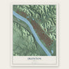
Ironton, Ohio Map Art
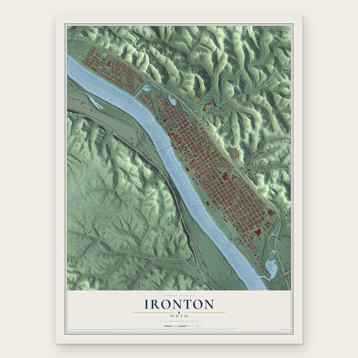
Building by building, with labeled streets and shaded relief.
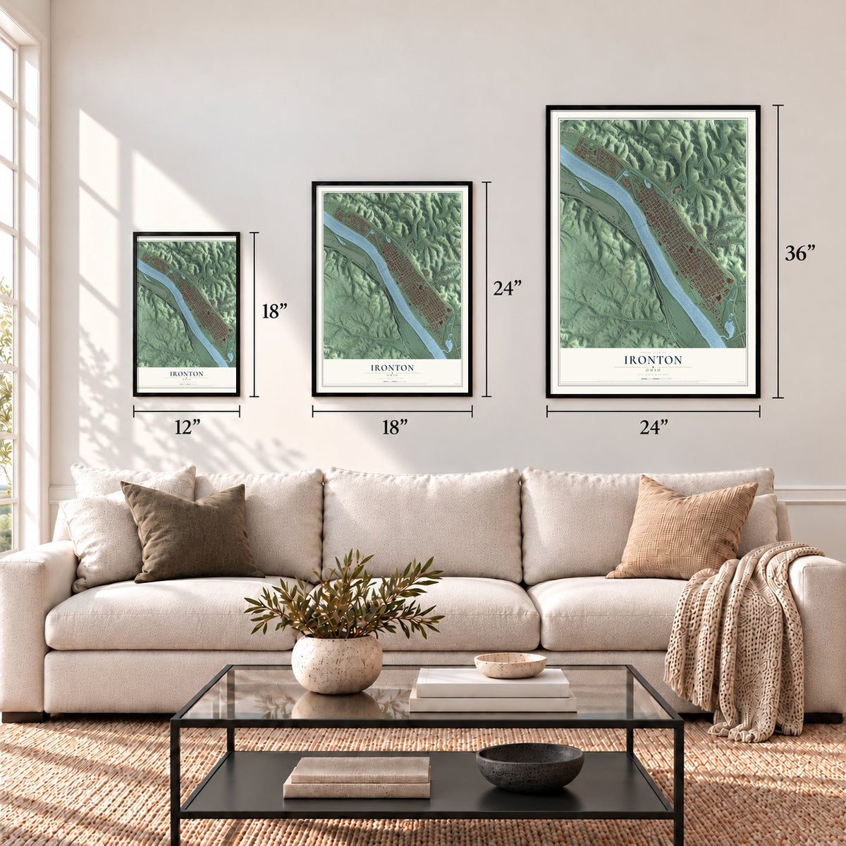
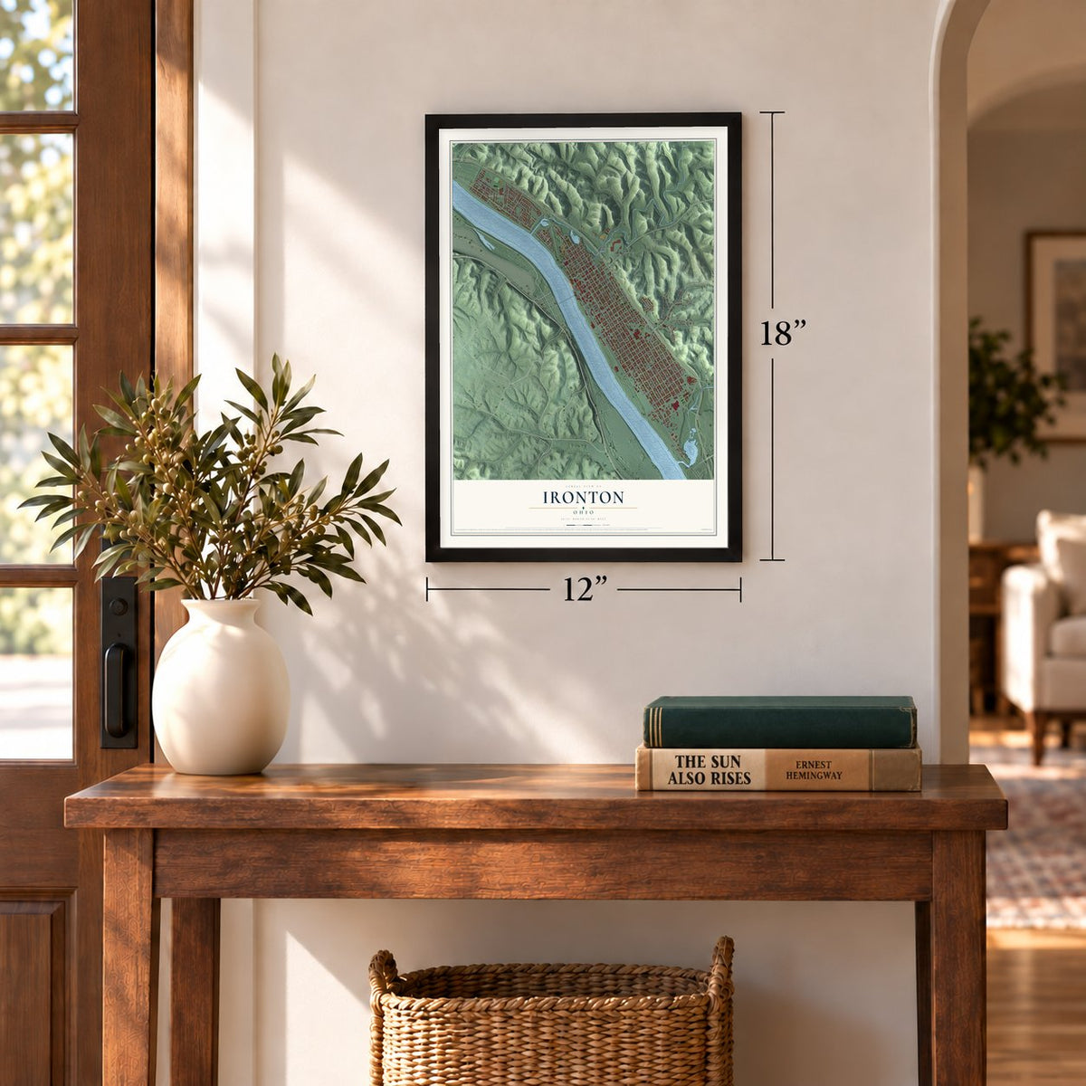
12" x 18" Archival Matte Print
A Map of Home. A Work of Art.
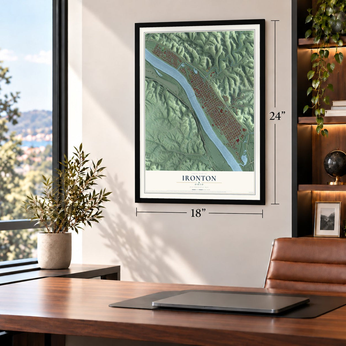
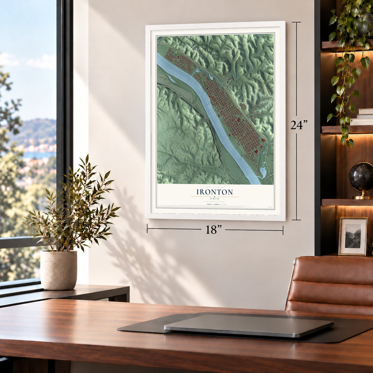
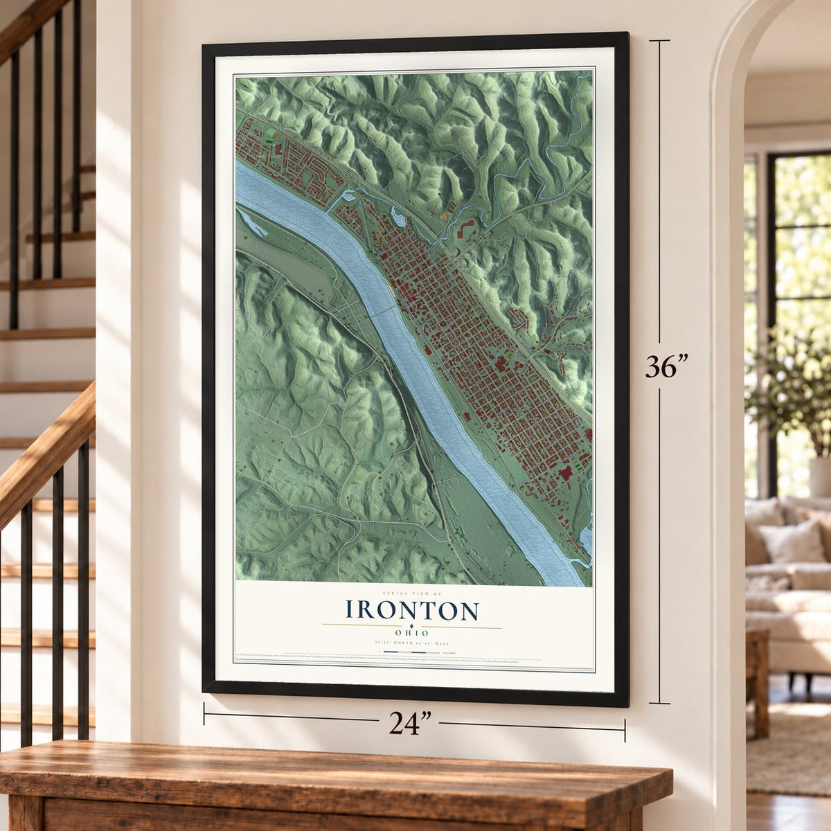
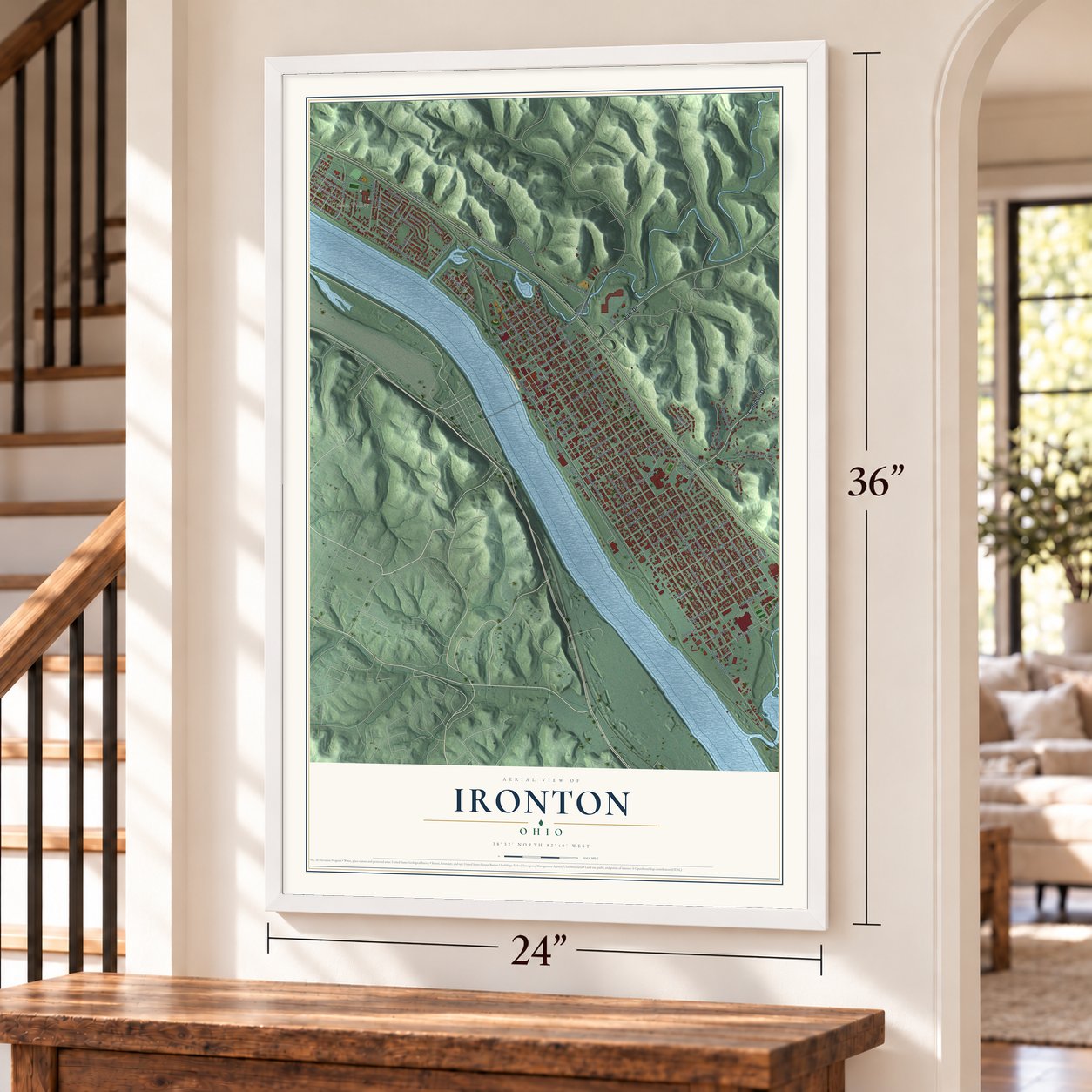
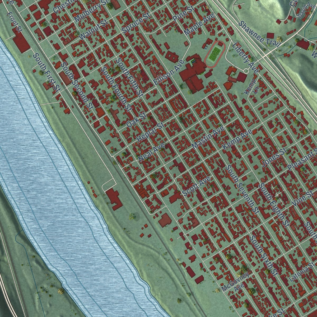
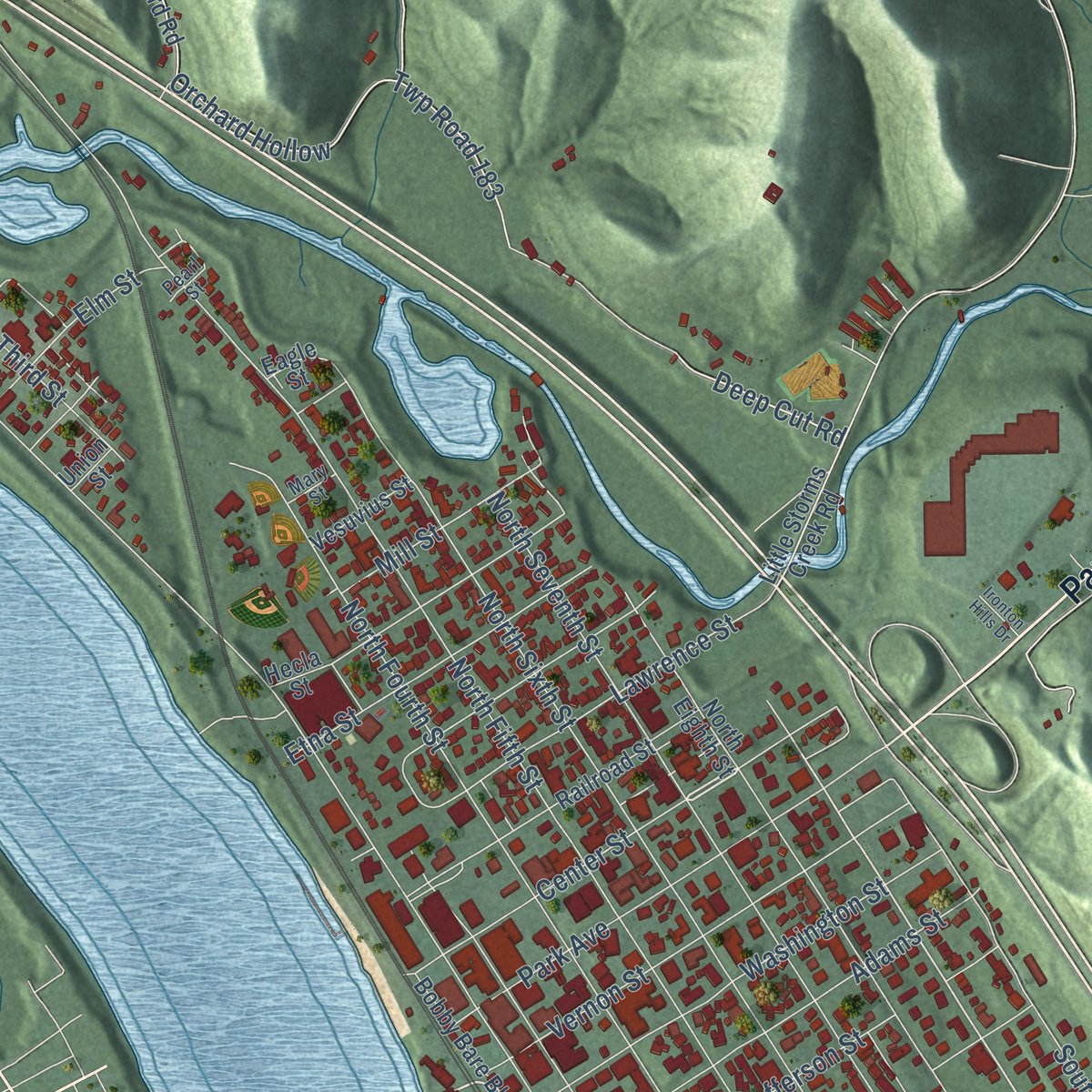
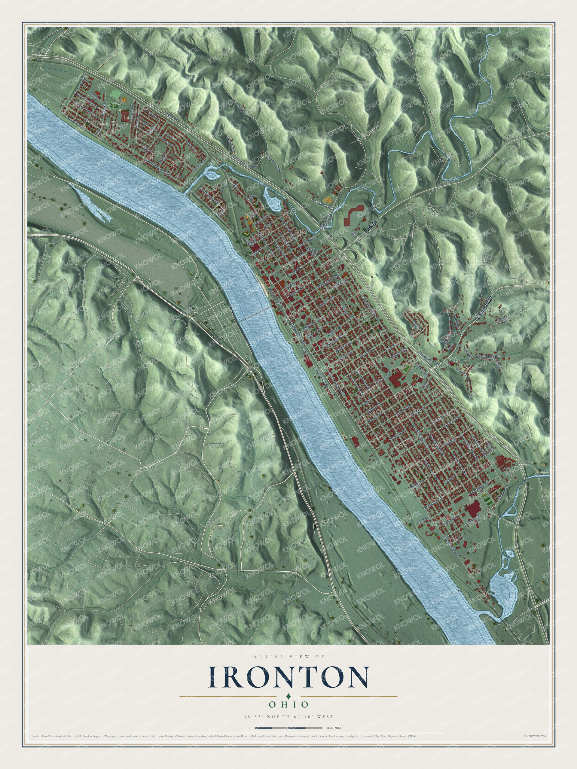
Explore Ironton, Ohio from a whole new perspective. Created using aerial imagery and detailed geographic data, this map captures Ironton building by building, with labeled streets, familiar landmarks, and shaded topographical relief that highlights the natural contours of the landscape.
Combining modern data with the timeless character of a vintage atlas, this map is just as interesting up close as it is beautiful on the wall. Whether you grew up in Ironton, spent memorable years there, or call it home today, this unique map is a great way to celebrate a place that means something to you. Zoom in on the preview to look for your street, and then order a print to put your memories on the wall.
Three ways to hang it
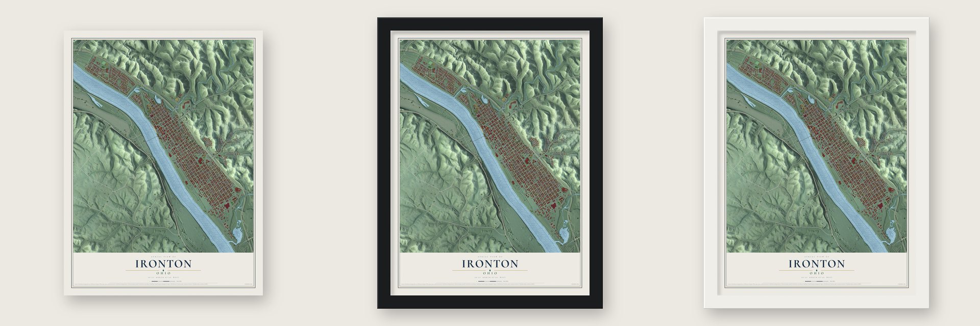
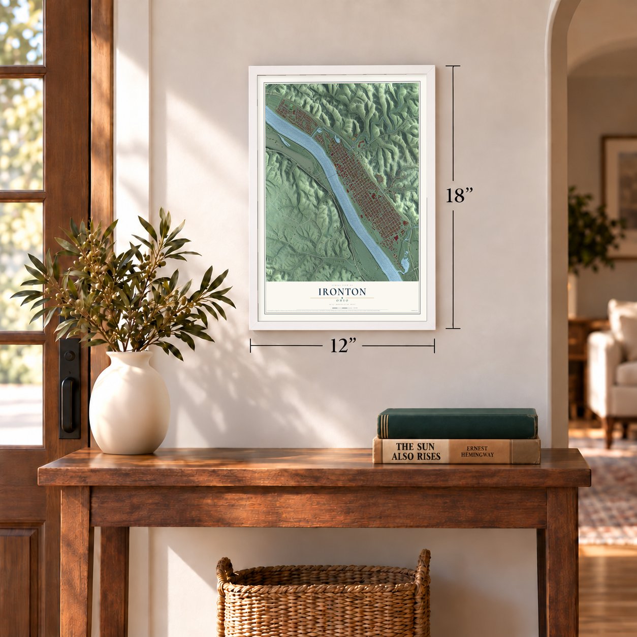
Unframed archival matte, a black wood frame or a white wood frame.
Up close
Geography Worth Displaying
This map was created using accurate cartographic data and authoritative geographic sources, including the U.S. Geological Survey and the Census Bureau. The map brings together terrain, waterways, roads, and building detail. The majority of the streets are labeled, houses are accurately depicted, and the topography is derived from government sources. Combining local data with carefully composed color and shading leads to this beautifully detailed Ironton artwork for your wall.
Rather than simply showing street outlines, we’ve included as many of the street names as we could reasonably fit on the map while keeping their names legible. Zoom in on the high resolution preview to see exactly what’s on the map. We truly set out to create a statement piece for anyone who loves Ironton. So whether it’s for you, or a gift for someone you love, we hope this map of Ironton brings back fond memories.
Find your street
Names on the Ironton map
Every name below is printed on this map. Look for your street, your school, the park where you played, or the pond down the road.
Places and landmarks1
- Green Valley
Streets and roads111
- Campbell Drive
- Park Drive
- Campbell Avenue
- South Second Street
- South First Street
- Center Street
- Adams Lane
- South Eleventh Street
- Cliff Street
- Liberty Avenue
- South Ninth Street
- North First Street
- South Third Street
- South Fourth Street
- South Fifth Street
- South Sixth Street
- North Second Street
- South Seventh Street
- South Eighth Street
- South Tenth Street
- North Fifth Street
- South Twelfth Street
- Deep Cut Road
- North Fourth Street
- North Sixth Street
- Vine Street
- Kemp Avenue
- Adams Street
- Pleasant Street
- Twp Road 183
Show all 111 streets
- Walnut Street
- Spruce Street
- Pine Street
- Wyanoke Street
- Mulberry Street
- Ashtabula Street
- Mastin Avenue
- Park Avenue
- Vernon Street
- Quincy Street
- Washington Street
- Lawrence Street
- Chestnut Street
- Shawnee Trail
- Jefferson Street
- Thomas Street
- Jones Street
- Neal Avenue
- Heplar Street
- Orchard Hollow
- North Seventh Street
- North Third Street
- Ellison Avenue
- Ora Ritchey Road
- Etna Street
- Karin Street
- Monroe Street
- Lorain Street
- Means Street
- North Fourth Avenue
- Delaware Street
- Scott Avenue
- Madison Street
- Woodlawn Drive
- Mill Street
- Clinton Street
- Carl Drive
- Elm Street
- North Third Avenue
- Rock Avenue
- Oak Street
- Woodland Drive
- Maple Avenue
- Orchard Street
- Depot Square
- Waldo Drive
- Front Street
- Bessemer Alley
- Nash Street
- McGovney Avenue
- Little Storms Creek Road
- Railroad Street
- Scherer Road
- Orchard Road
- Latonia Street
- Hecla Street
- South 13th Street
- North Eighth Street
- Ellison Street
- Bobby Bare Boulevard
- Penobscot Trail
- Batham Lane
- Echo Drive
- Jeannine Street
- Vesuvius Street
- Dayton Lane
- Kemp Lane
- Eagle Street
- Union Street
- Yellow Branch Road
- Charlotte Street
- David Avenue
- Murdock Street
- Pearl Street
- Kevin Street
- Mary Street
- Rose Street
- North Fifth Avenue
- Gray Street
- Cemetery Lane
- Ironton Hills Drive
Names are listed as they appear on the printed map. Zoom into the product photos to find them.
About Ironton, Ohio
Ironton is a city of 10,571 people and the seat of Lawrence County, on the Ohio River at the southern tip of Ohio. John Campbell, an ironmaster who made pig iron in the area, founded it in 1849 with railroad men and investors. He picked this riverbank so the iron could travel downstream by boat, and the name is a shortened form of "iron town."
From 1850 to 1890 Ironton ranked among the world's leading iron makers, with more than 90 furnaces working at the peak. England, France and Russia bought its iron for warships, and it went into the USS Monitor, the first American ironclad. The boom faded as the country turned from iron to steel, and floods in 1917 and 1937 badly damaged the city and its industries.
- Campbell's Underground Railroad stopIn 1850 John Campbell, an abolitionist as well as an ironmaster, built a house and barn at North Fifth and Lawrence Streets. People escaping slavery in Kentucky crossed the river and hid there, then rode north in furnace wagons past Campbell's iron furnaces. Other city leaders also took refugees into their homes.
- A parade since 1868The Ironton-Lawrence County Memorial Day Parade began in 1868, and no Memorial Day parade in the country has run every year for longer. A historical marker at Center and South Fifth Streets tells its story, and the holiday also brings a Charity Fair with carnival games, crafts, food and music.
- The Tanks beat the BearsThe Ironton Tanks began in 1919 and played semi-pro teams and clubs from the league that became the NFL, beating both the Chicago Bears and the New York Giants. Over twelve seasons they won 85, lost 19 and tied 14, from 1926 at Tanks Memorial Stadium beside Ironton High School, still one of the few roofed high school stadiums. The team broke up in 1931, and Glenn Presnell and other players moved on to the Portsmouth Spartans.
- Football on ThanksgivingThe Tanks beat the Huntington Boosters 12-0 on Thanksgiving Day, November 30, 1922, and played on the holiday every year through 1930. The Spartans kept the custom until 1933. When G.A. Richards bought that team, moved it to Detroit and renamed it the Lions, his players told him holiday crowds were always good, so he scheduled Detroit's first Thanksgiving game.
- A depot from 1906The Norfolk and Western Railway built a new station downtown in 1906, and trains kept using it into the mid-20th century. The Norfolk and Western Railroad Depot joined the National Register in 1978.
Keep exploring Ohio
Ironton is one of 1,389 Ohio towns we've mapped. Every dot on the map is a print of its own.
The search covers every state, Ohio first.
Near Ironton
Order 2 or more town maps and save 10%. Shown in the size and finish you picked above, so they hang as a set.
- Hanging Rock 12" x 18" / Archival Matte Print $39.99
- Coal Grove 12" x 18" / Archival Matte Print $39.99
- South Point 12" x 18" / Archival Matte Print $39.99
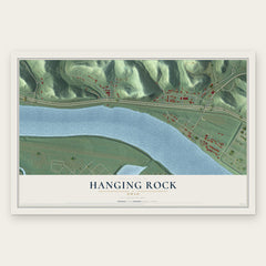
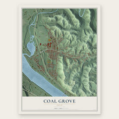
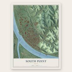
More maps nearby: Franklin Furnace, Burlington, Chesapeake, Wheelersburg and Proctorville.
The art of mapping a place
How This Map Was Made
Real places. Remarkable detail. Discover the layers that turn geographic data into a map of home.

The view from above
Aerial imagery reveals the character of the land: woodland, open fields, and the patterns of a place.

The shape of the land
Elevation data brings hills, valleys, and subtle changes in the landscape into view.

The details of home
Roads, waterways, and building footprints come together to make the map feel unmistakably local.

Geography becomes art
Considered color, shading, and typography bring the layers together in a map made for your wall.


Process illustrated with Mendon, Massachusetts. Aerial imagery: USDA NAIP. Terrain: USGS 3D Elevation Program. Map details and finished artwork: KNOWOL.
The Details
About This Print
Choose an archival matte print, or a black or white Ayous wood frame. The archival matte print is unframed.
Select your size and finish above to see the matching product image and price.
Materials & Craftsmanship
A contemporary map with the character of a classic atlas, printed on archival matte paper. Optional frames are made from Ayous wood.
Your printed map does not include the watermark shown in the full-map preview.
Shipping & Delivery
Free shipping within the United States. Every print is made to order in the USA.
Buying a gift? Add a note in your cart and we'll include it. We never put prices in the package.
Prints ship within 2 to 3 business days. Allow 7 to 10 days total from ordering for delivery. Timing may vary during holidays or periods of high order volume.
Read our shipping policy.
Returns and damaged prints
Each print is made to order. Change-of-mind refunds are not available after production.
If your print arrives damaged, misprinted or incorrect, contact support@knowol.com within 30 days of receiving it. Include your order number, photos and a description of the issue.
Read our full refund and replacement policy. For questions about your order, email support@knowol.com.