

Vintage Map of Jacksonville Florida 1876 | Restored Historic Print
Beautifully designed. Printed on archival paper for modern walls.
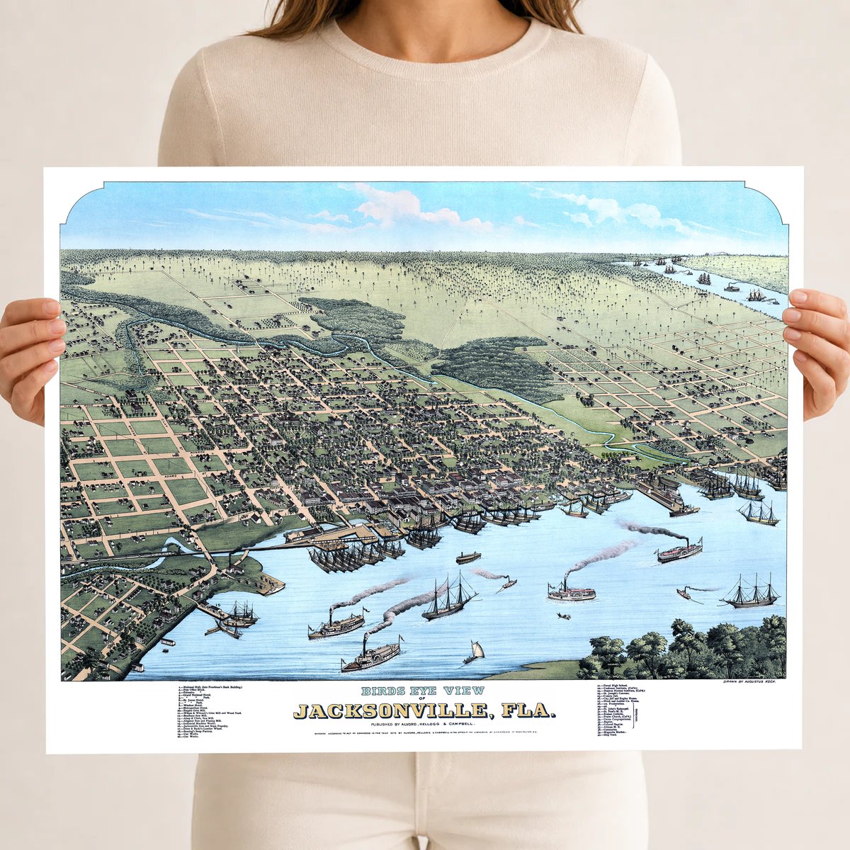
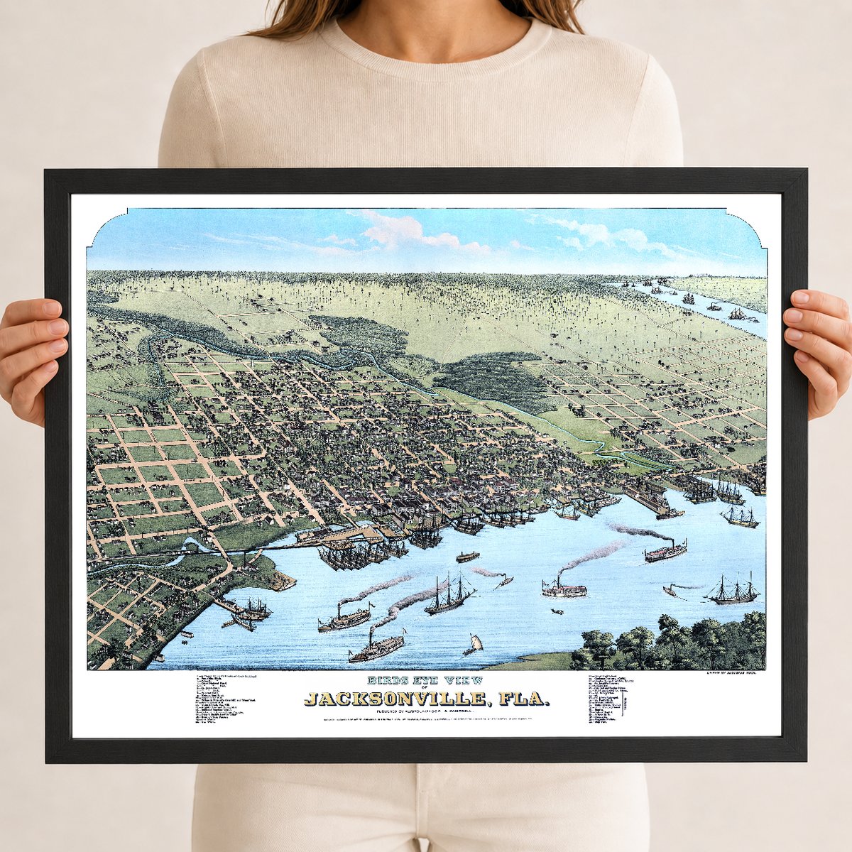
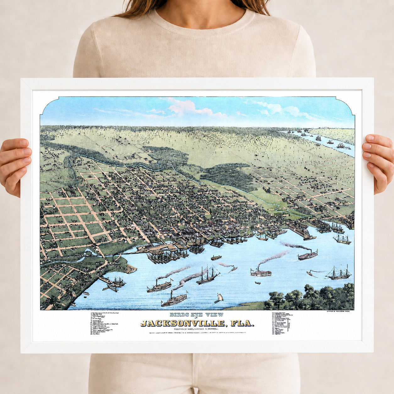
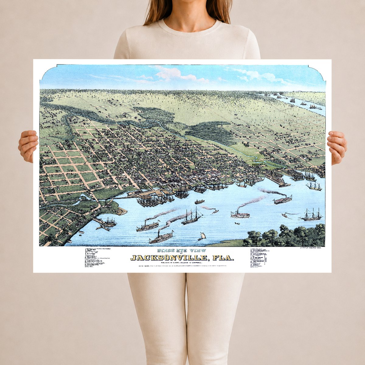
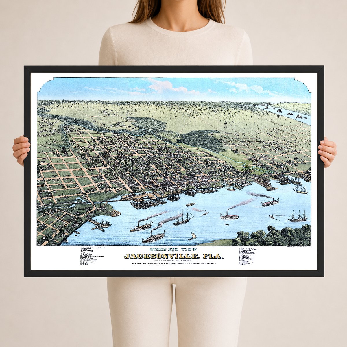
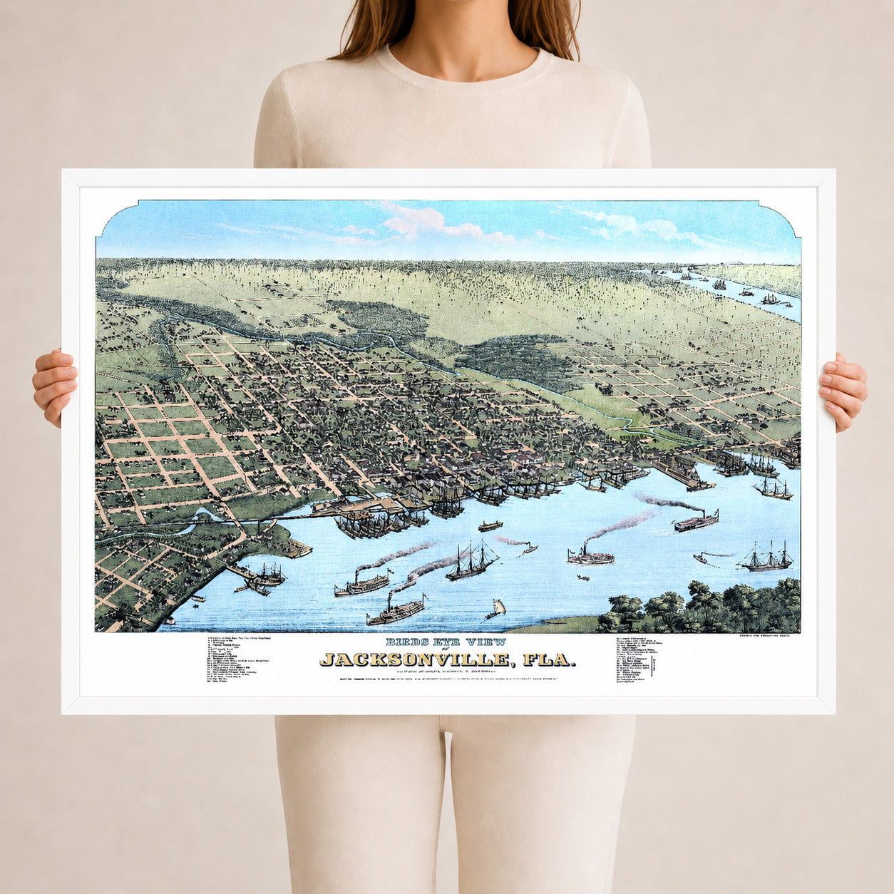
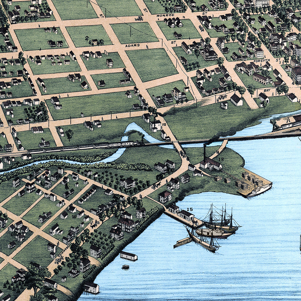
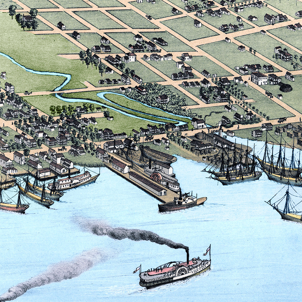
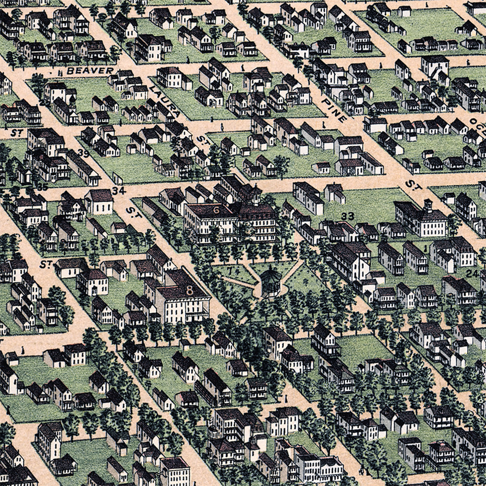
This vintage map of Jacksonville, Florida was created in 1876 by Augustus Koch, a prominent 19th-century mapmaker known for his detailed bird’s-eye views of American cities. This restored edition brings the historic Jacksonville map to life while preserving the original linework, street names, buildings, hotels, churches, factories, schools, public landmarks, riverfront activity, ships, docks, and details along the St. Johns River.
About This Historic Map
Drawn from an elevated bird’s-eye perspective, this map presents Jacksonville in the years after the Civil War, when the city was rebuilding, expanding, and emerging as one of Florida’s most important urban centers. The view looks across Jacksonville toward the St. Johns River, showing the city’s street grid, waterfront, public buildings, hotels, churches, factories, rail connections, residential neighborhoods, and river traffic.
In 1876, Jacksonville was still a young city, but its location on the St. Johns River made it a natural center for trade, travel, shipping, tourism, and commerce. Bird’s-eye maps like this were created before aerial photography was common, giving viewers a remarkably detailed look at the city as it appeared in the late 19th century.
Notable landmarks shown on the map include Duval High School, Cookman Institute, City Jail & Engine House, Hook and Ladder Company House, Magnolia Market, Jacksonville Ship Yard, National Hall, Industrial Machine Works, Grand National Hotel, St. James Hotel, Buesing’s Soap Factory, and many other historic churches, schools, businesses, residences, public buildings, factories, riverfront scenes, and ships along the St. Johns River.
A statement piece for any room, this reproduction is printed using KNOWOL’s restored version of the 1876 Jacksonville, Florida map, preserving the historic character of the original while adding clarity, depth, and visual detail. It offers a rare look at Jacksonville before the enormous changes of the late 19th and early 20th centuries. A meaningful piece of art for anyone with roots in Jacksonville, an interest in Florida history, or a love of old city maps.
Click here to learn more about the history of Jacksonville, Florida in 1876.
The Details
About This Print
A physical reproduction of the artwork shown. Choose the available size and format above. The product description provides the subject and edition details.
A frame is included only when the product or selected option is described as framed.
Materials & Craftsmanship
This reproduction is printed on archival paper. Framing materials for framed editions are listed in the product description. Decorative room props shown in display photographs are not included.
Shipping & Delivery
Free shipping within the United States. Every print is made to order in the USA.
Buying a gift? Add a note in your cart and we'll include it. We never put prices in the package.
Prints ship within 2 to 3 business days. Allow 7 to 10 days total from ordering for delivery. Timing may vary during holidays or periods of high order volume.
Read our shipping policy.
Returns & Quality Guarantee
Each print is made to order. Change-of-mind refunds are not available after production.
If your print arrives damaged, misprinted or incorrect, contact support@knowol.com within 30 days of receiving it. Include your order number, photos and a description of the issue.
Read our full refund and replacement policy. For questions about your order, email support@knowol.com.