
Search for another town





Free U.S. delivery 7 to 10 days after you order
Jefferson City, Missouri Map Art
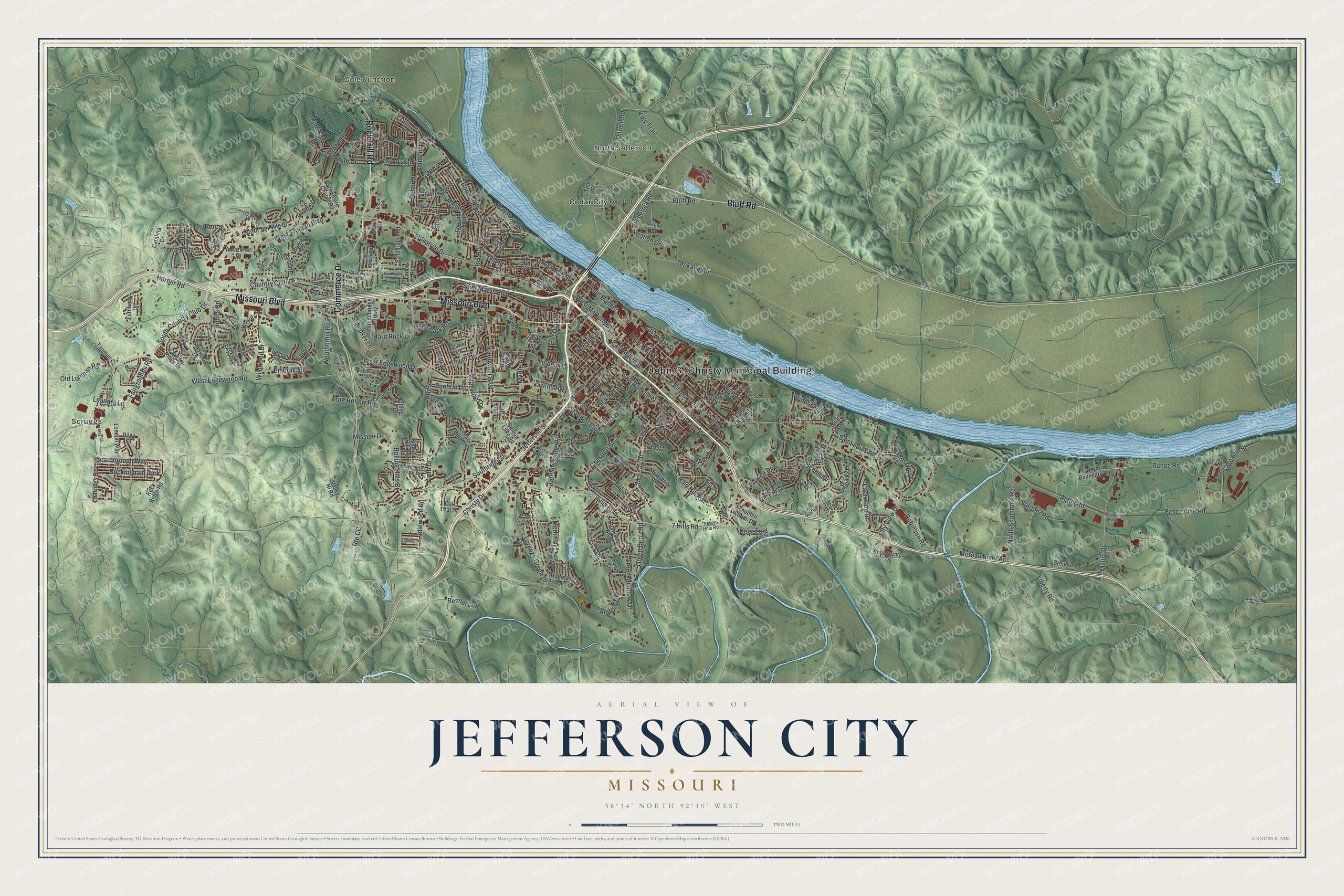
A new map of Jefferson City, Missouri, made in 2026 and printed to order on thick archival matte paper.
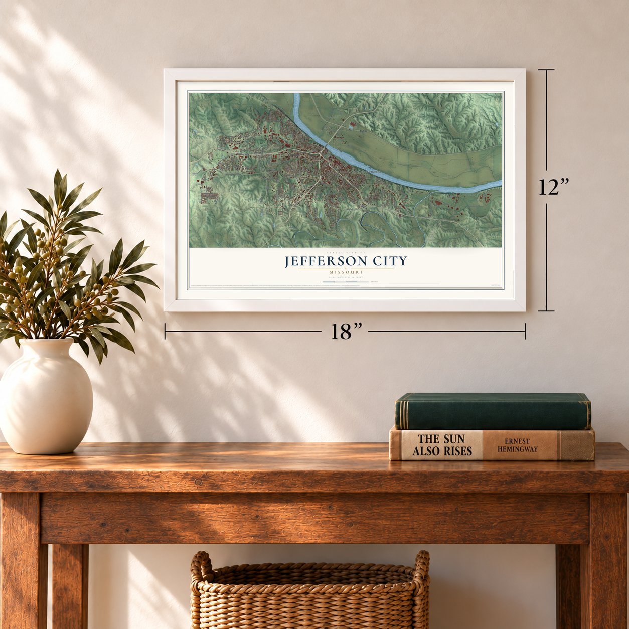
12" x 18" Archival Matte Print
A Map of Home. A Work of Art.
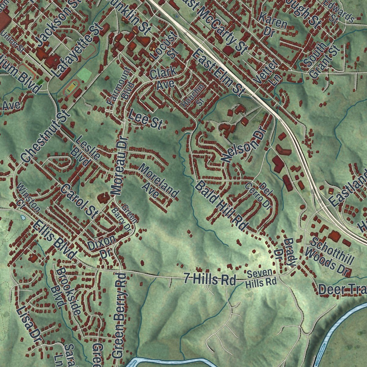
Explore Jefferson City, Missouri from a whole new perspective. Created using aerial imagery and detailed geographic data, this map captures Jefferson City building by building, with labeled streets, familiar landmarks, and shaded topographical relief that highlights the natural contours of the landscape.
Combining modern data with the timeless character of a vintage atlas, this map is just as interesting up close as it is beautiful on the wall. Whether you grew up in Jefferson City, spent memorable years there, or call it home today, this unique map is a great way to celebrate a place that means something to you. Zoom in on the preview to look for your street, and then order a print to put your memories on the wall.
Three ways to hang it
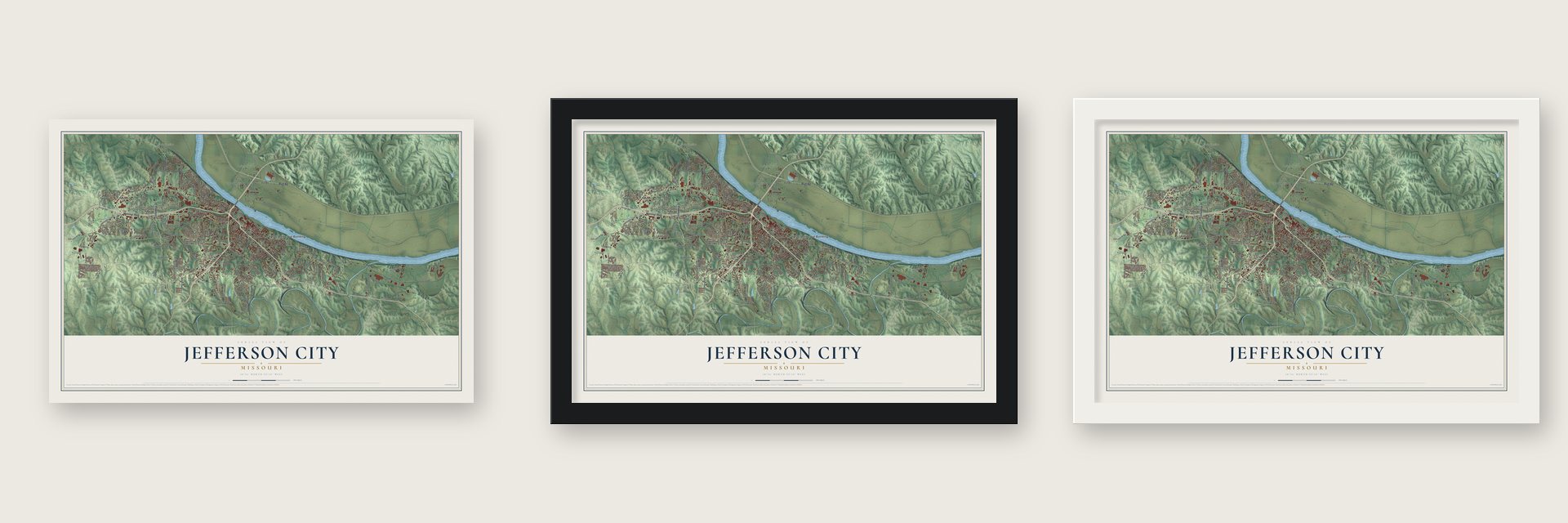
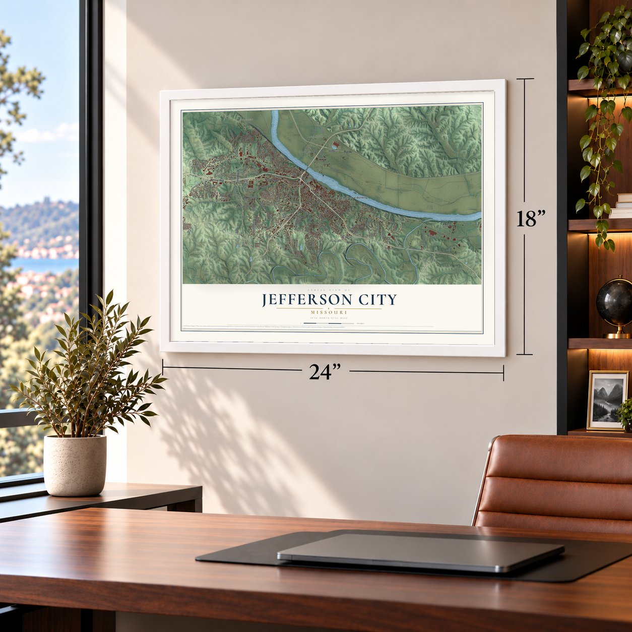
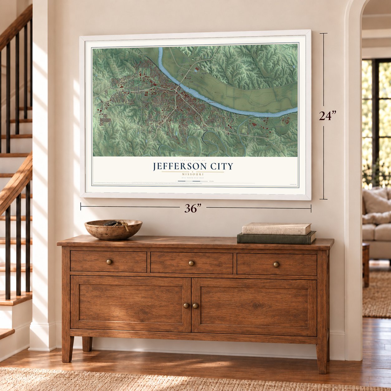
Unframed archival matte, a black wood frame or a white wood frame.
Up close
Geography Worth Displaying
This map was created using accurate cartographic data and authoritative geographic sources, including the U.S. Geological Survey and the Census Bureau. The map brings together terrain, waterways, roads, and building detail. The majority of the streets are labeled, houses are accurately depicted, and the topography is derived from government sources. Combining local data with carefully composed color and shading leads to this beautifully detailed Jefferson City artwork for your wall.
Rather than simply showing street outlines, we’ve included as many of the street names as we could reasonably fit on the map while keeping their names legible. Zoom in on the high resolution preview to see exactly what’s on the map. We truly set out to create a statement piece for anyone who loves Jefferson City. So whether it’s for you, or a gift for someone you love, we hope this map of Jefferson City brings back fond memories.
Read the story behind this map of Jefferson City, Missouri from 2026.

About Jefferson City, Missouri
Jefferson City is the capital of Missouri and the county seat of Cole County, a city of 43,228 people on the south bank of the Missouri River. The village here was first called Lohman's Landing. Missouri joined the Union as the 24th state, and in 1821 lawmakers chose this spot for their new capital. They thought about the name Missouriopolis but settled on Jefferson, after former President Thomas Jefferson.
Daniel Morgan Boone, a son of Daniel Boone, laid out and platted the town. For years it was not much more than a trading post in the woods, about halfway between St. Louis and Kansas City. The settlement was incorporated in 1825. A year later the General Assembly moved here, and it has met here ever since. Most people said Jefferson City, and that name stuck, though the official name is still City of Jefferson.
- Lewis and Clark in 1804The Corps of Discovery went past the bluff here on its trip up the Missouri in 1804. The domed Missouri State Capitol now rises from that same bluff above the river.
- A state prison from 1836Lawmakers also picked the city for the Missouri State Penitentiary, which opened in 1836. Its inmates included the boxer Sonny Liston, the bank robber Pretty Boy Floyd and James Earl Ray. It was the oldest working prison west of the Mississippi until September 2004, when the Jefferson City Correctional Center took its place. The Missouri State Penitentiary Warden's House joined the National Register in 1991.
- Lincoln University, 1866In 1866, one year after the Civil War ended, Black Union veterans founded Lincoln University. They had served in the 62nd U.S. Colored Troops, the unit known in Missouri as the First Missouri Regiment of Colored Infantry. Soldiers of the Second Missouri Regiment helped them. Today it is a public, historically Black land-grant university.
- A capital under Union gunsUnion troops held the city during the Civil War. General Nathaniel Lyon drove the elected legislature out of town. Some of those lawmakers met again in Neosho, where they voted to take Missouri out of the Union.
- The 2019 tornadoJust before midnight on May 22, 2019, an EF3 tornado cut through the city's southwest side. It injured at least 20 people, but no one died.
Find your street
Names on the Jefferson City map
Every name below is printed on this map. Look for your street, your school, the park where you played, or the pond down the road.
Places and landmarks6
- John G. Christy Municipal Building
- Scruggs
- North Jefferson
- Cole Junction
- Cedar City
- Buckingham Park
Streets and roads237
- Rock Hill Road
- Missouri Boulevard
- Bluff Road
- Commerce Drive
- Industrial Drive
- Vieth Drive
- Moreau Drive
- City View Drive
- Robinson Road
- Katy Trail
- West Edgewood Drive
- West Truman Boulevard
- Edgewood Drive
- Satinwood Drive
- West Edgewood Road
- East McCarty Street
- Algoa Road
- Country Club Drive
- West Main Street
- Jefferson Street
- Christy Drive
- Southridge Drive
- South Country Club Drive
- Mokane Road
- Tanner Bridge Road
- Boonville Road
- Stadium Boulevard
- East Elm Street
- Southwest Boulevard
- East Miller Street
Show all 237 streets
- West McCarty Street
- Saint Marys Boulevard
- Fence Line Road
- Chestnut Street
- Ellis Boulevard
- Militia Drive
- East High Street
- Saint Louis Road
- Eastland Drive
- Bald Hill Road
- Monroe Street
- Lorenzo Green Drive
- East Dunklin Street
- Jackson Street
- Lafayette Street
- Oilwell Road
- Green Berry Road
- West High Street
- Dix Road
- Swifts Highway
- Fairgrounds Road
- North Shamrock Road
- Belair Drive
- Hayselton Drive
- Sue Drive
- Frog Hollow Road
- Wildwood Drive
- Scenic Drive
- Green Meadow Drive
- 7 Hills Road
- Gettysburg Place
- Stertzer Road
- Horner Road
- Bennet Lane
- Broadway
- Idlewood Road
- Hobbs Road
- Aviation Drive
- Scarborough Way
- Norris Drive
- Liberty Road
- Myrtle Avenue
- Shawn Drive
- Hutton Lane
- Tower Drive
- Rolling Hills Drive
- Leandra Lane
- Range Road
- Nelson Drive
- Old Lohman Road
- Morris Drive
- Moreau River Acc
- Hibernia Road
- Lisa Drive
- Linden Drive
- Weatherhill Road
- Emerald Lane
- Osage Elm Street
- Mohawk Drive
- Eastwood Drive
- Livingston Street
- Terra Bella Drive
- Carol Street
- Deer Trail
- Hyde Park Road
- Buehrle Drive
- East State Street
- Belmont Drive
- Mission Drive
- Windriver Drive
- Hough Street
- Schepker Lane
- Hard Rock Drive
- Knipp Drive
- Binder Drive
- Route CC
- Cari Ann Drive
- Andrea Drive
- Merlin Drive
- Ohio Street
- Lee Street
- Kent Street
- Ella Street
- Clark Avenue
- Rock Ridge Road
- Lola Drive
- West Miller Street
- Turnberry Drive
- North Ten Mile Drive
- Schellridge Road
- Constitution Drive
- Fourth Street
- Landwehr Hills Road
- Leslie Boulevard
- Jennifer Drive
- Diamond Ridge
- London Way
- Sherwood Drive
- Schumate Chapel Road
- Brenner Lane
- Cedar Hill Road
- Mesa Avenue
- Creek Trail Drive
- North Boundary Road
- Sunset Lake Road
- Bunker Hill Road
- Modot Drive
- Fredricks Lane
- Locust Street
- Catalina Drive
- Country Ridge Drive
- Hastings Road
- Stonebridge Parkway
- Supercenter Drive
- Dover Street
- Brookside Boulevard
- Sarah Lane
- Hoffman Drive
- Allen Drive
- Twin Hills Road
- Moreland Avenue
- Hogan Drive
- East Circle Drive
- Marilyn Drive
- Tanman Court
- Amazonas Drive
- Riley Court
- Notting Hill Drive
- Orchard Lane
- Schotthill Woods Drive
- Forest Hill Avenue
- Joe Lane
- Valley Hi Road
- Sardonyx Drive
- Dixon Drive
- Vetter Lane
- David Street
- Del Mar Drive
- Louis Drive
- Metro Drive
- South Grant Street
- Oak Leaf Drive
- Buena Vista Street
- Karen Drive
- Brady Drive
- Burke Place
- Teal Street
- Ladue Road
- Debra Street
- Haaf Drive
- Hub Street
- Pike Street
- Chapel Hill Road
- Madison Street
- Seven Hills Road
- Del Cerro Drive
- Winston Court
- Plymouth Rock Drive
- Fairmount Boulevard
- Nob Hill Road
- Edwards Street
- Hillsdale Drive
- Amador Avenue
- Knight Valley Drive
- Harmony Grove
- Valley View Terrace
- Airport Road
- Kenwood Drive
- Flora Drive
- Old Gibler Road
- Lecar Drive
- Kaylyn Drive
- Trenton Court
- West Circle Drive
- Wakoda Drive
- Autumn Lane
- Iven Road
- Hoover Road
- Darice Lane
- Walz Court
- Green Barry Drive
- West Stadium Boulevard
- South Ten Mile Drive
- Westinghouse Road
- Bolivar Street
- Virginia Trail
- Crest Drive
- Union Street
- Shermans Hollow
- Huntleigh Place
- Harvest Drive
- Monterey Drive
- Houchin Street
- Knaebel Lane
- Waverly Street
- Aurora Avenue
- Redwing Drive
- Starling Drive
- Rolling Hills Road
- Crestmere
- One Color Way
- Oak Valley Drive
- Kenborg Hills
- Dale Street
- Maytag Drive
- Merry Lane
- Ford Street
Names are listed as they appear on the printed map. Zoom into the product photos to find them.
The art of mapping a place
How This Map Was Made
Real places. Remarkable detail. Discover the layers that turn geographic data into a map of home.

The view from above
Aerial imagery reveals the character of the land: woodland, open fields, and the patterns of a place.

The shape of the land
Elevation data brings hills, valleys, and subtle changes in the landscape into view.

The details of home
Roads, waterways, and building footprints come together to make the map feel unmistakably local.

Geography becomes art
Considered color, shading, and typography bring the layers together in a map made for your wall.


Process illustrated with Mendon, Massachusetts. Aerial imagery: USDA NAIP. Terrain: USGS 3D Elevation Program. Map details and finished artwork: KNOWOL.
The Details
About This Print
Choose an archival matte print, or a black or white Ayous wood frame. The archival matte print is unframed.
Select your size and finish above to see the matching product image and price.
Materials & Craftsmanship
A contemporary map with the character of a classic atlas, printed on archival matte paper. Optional frames are made from Ayous wood.
Your printed map does not include the watermark shown in the full-map preview.
Shipping & Delivery
Free shipping within the United States. Every print is made to order in the USA.
Buying a gift? Add a note in your cart and we'll include it. We never put prices in the package.
Prints ship within 2 to 3 business days. Allow 7 to 10 days total from ordering for delivery. Timing may vary during holidays or periods of high order volume.
Read our shipping policy.
Returns and damaged prints
Each print is made to order. Change-of-mind refunds are not available after production.
If your print arrives damaged, misprinted or incorrect, contact support@knowol.com within 30 days of receiving it. Include your order number, photos and a description of the issue.
Read our full refund and replacement policy. For questions about your order, email support@knowol.com.
Find your town
Looking for another city?
Find a map of home in our Missouri collection, or any town in the country.
Nearby
Maps of towns near Jefferson City
Know someone from one of these towns? Their map makes a great gift.
 Wardsville
, Missouri
From $39.99See the map
 Holts Summit
, Missouri
From $39.99See the map
 Taos
Taos, Missouri
From $39.99See the map
More maps nearby: St. Martins, Lohman, New Bloomfield, Hartsburg and Tebbetts.