
Search for another town

Free U.S. delivery 7 to 10 days after you order
Johnstown, Pennsylvania Map Art
Building by building, with labeled streets and shaded relief.
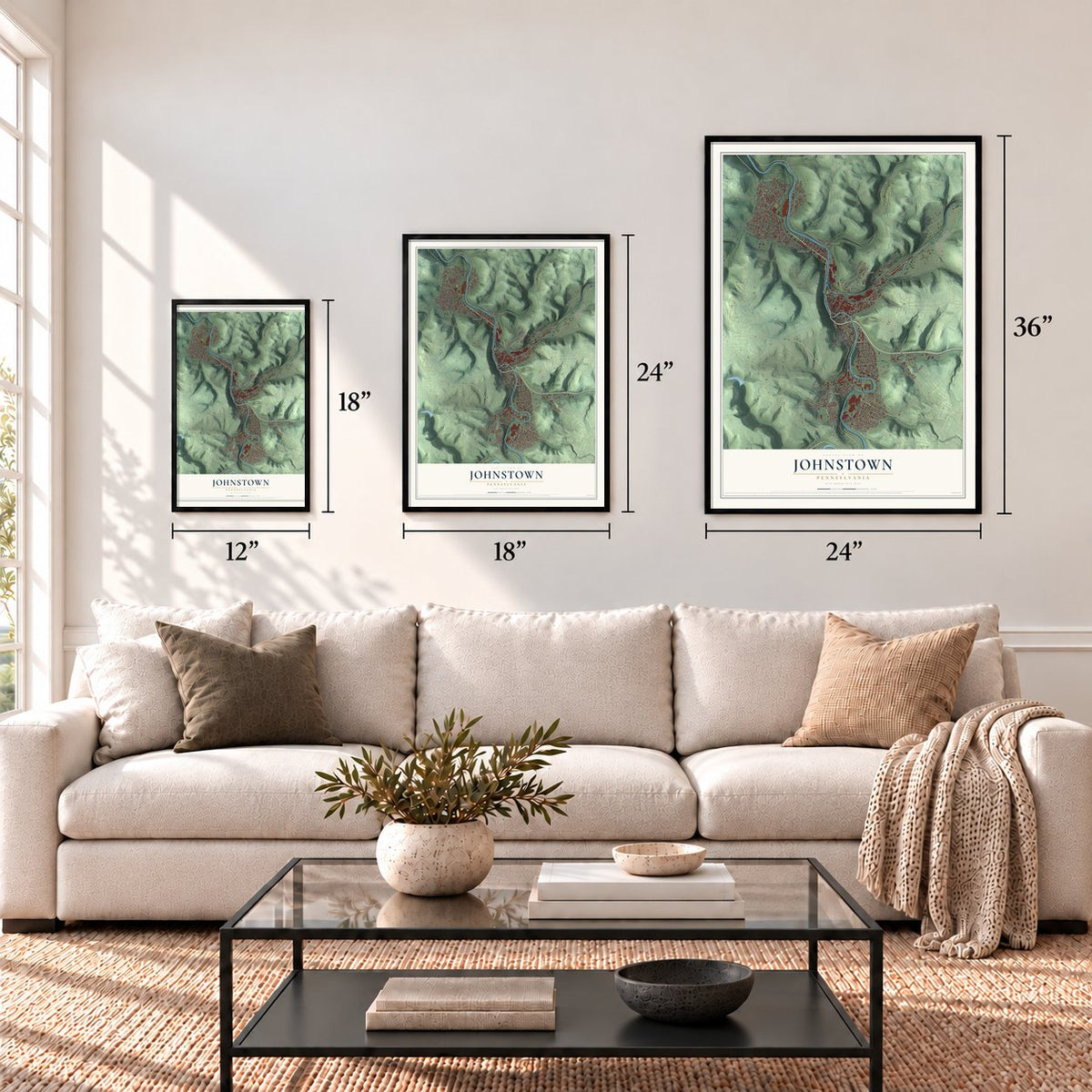
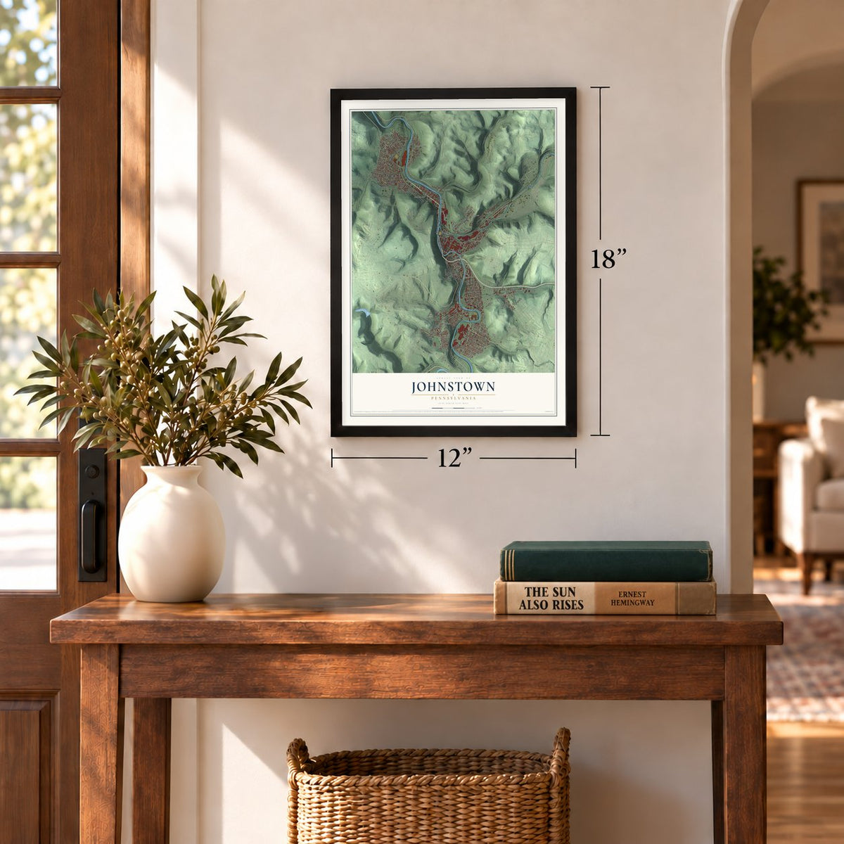
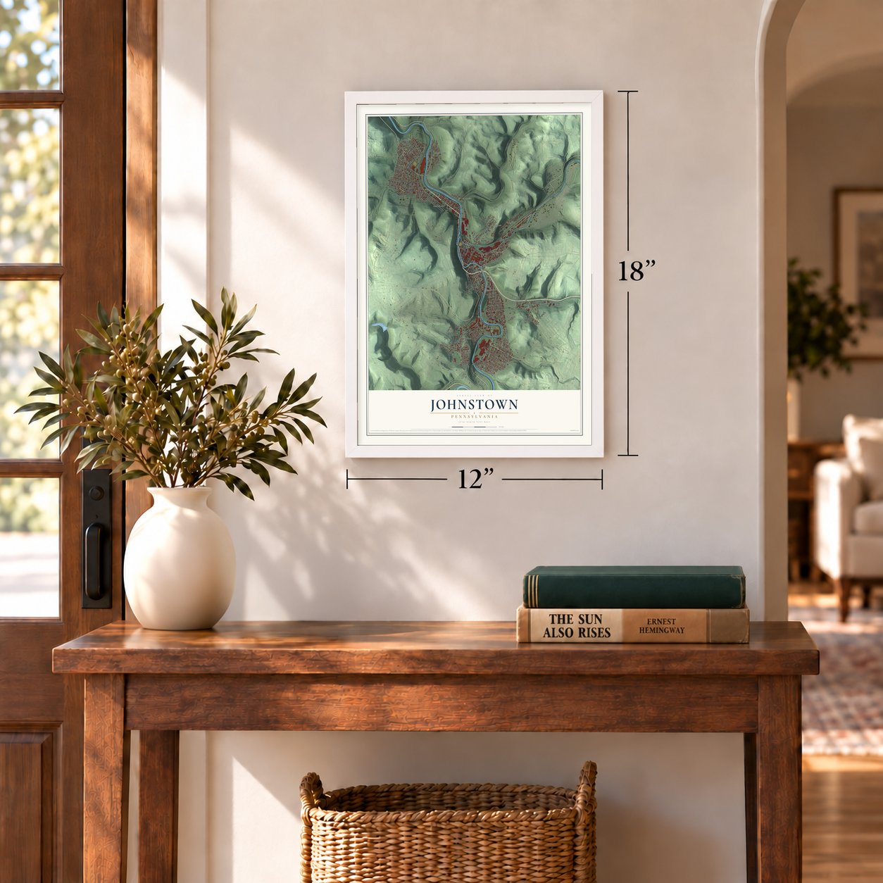
12" x 18" Archival Matte Print
A Map of Home. A Work of Art.
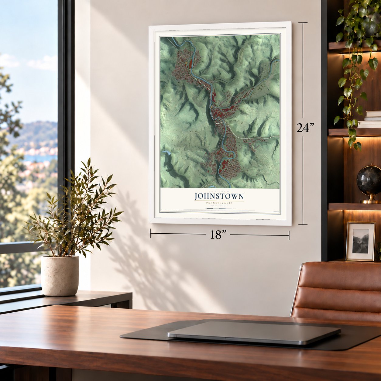
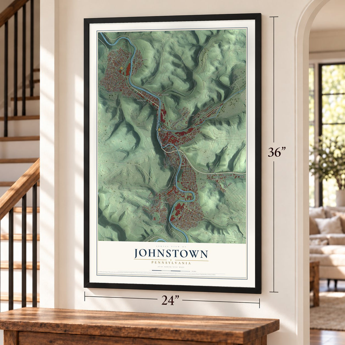
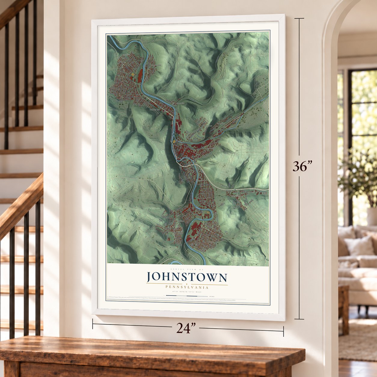
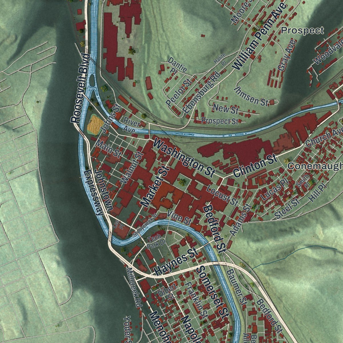
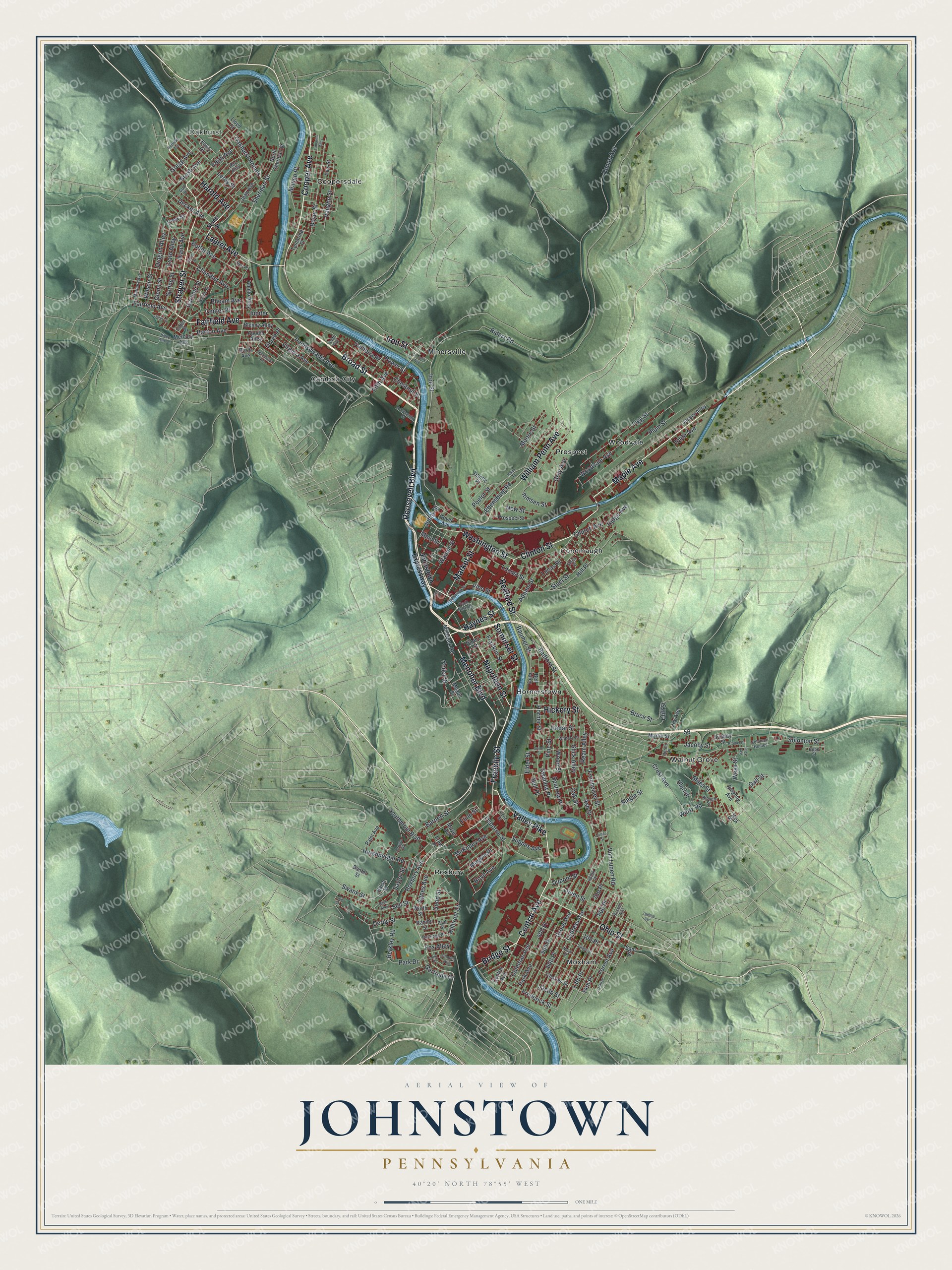
Explore Johnstown, Pennsylvania from a whole new perspective. Created using aerial imagery and detailed geographic data, this map captures Johnstown building by building, with labeled streets, familiar landmarks, and shaded topographical relief that highlights the natural contours of the landscape.
Combining modern data with the timeless character of a vintage atlas, this map is just as interesting up close as it is beautiful on the wall. Whether you grew up in Johnstown, spent memorable years there, or call it home today, this unique map is a great way to celebrate a place that means something to you. Zoom in on the preview to look for your street, and then order a print to put your memories on the wall.
Three ways to hang it
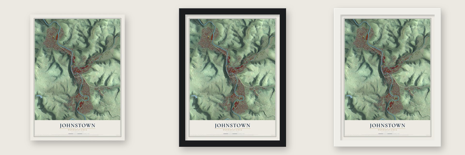
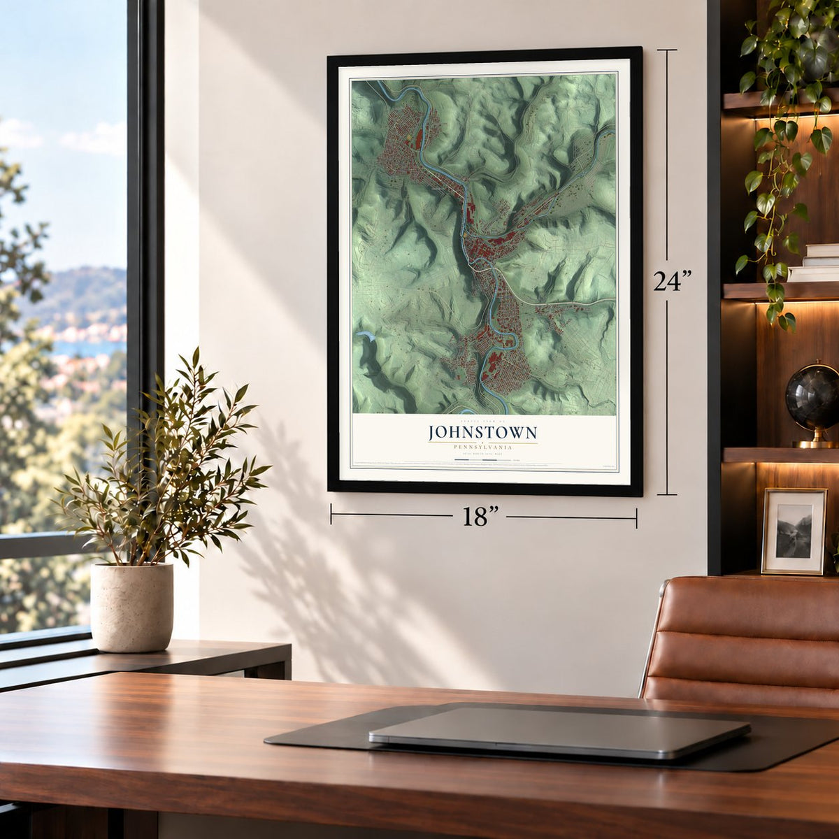
Unframed archival matte, a black wood frame or a white wood frame.
Up close
Geography Worth Displaying
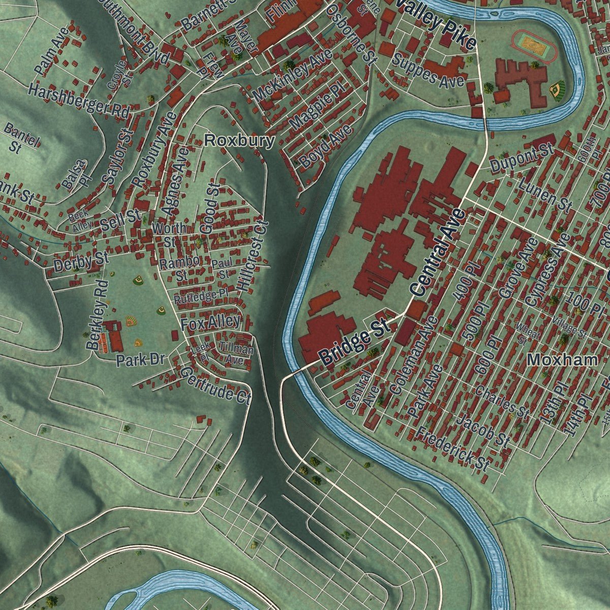
This map was created using accurate cartographic data and authoritative geographic sources, including the U.S. Geological Survey and the Census Bureau. The map brings together terrain, waterways, roads, and building detail. The majority of the streets are labeled, houses are accurately depicted, and the topography is derived from government sources. Combining local data with carefully composed color and shading leads to this beautifully detailed Johnstown artwork for your wall.
Rather than simply showing street outlines, we’ve included as many of the street names as we could reasonably fit on the map while keeping their names legible. Zoom in on the high resolution preview to see exactly what’s on the map. We truly set out to create a statement piece for anyone who loves Johnstown. So whether it’s for you, or a gift for someone you love, we hope this map of Johnstown brings back fond memories.
Read the story behind this map of Johnstown, Pennsylvania from 2026.
Find your street
Names on the Johnstown map
Every name below is printed on this map. Look for your street, your school, the park where you played, or the pond down the road.
Places and landmarks11
- Oakhurst
- Cambria City
- Conemaugh
- Coopersdale
- Hornerstown
- Minersville
- Moxham
- Prospect
- Roxbury
- Walnut Grove
- Woodvale
Streets and roads220
- Broad Street
- Strayer Street
- Cooper Avenue
- Fairfield Avenue
- Bridge Street
- Iron Street
- Harold Avenue
- Menoher Boulevard
- Central Avenue
- Somerset Street
- Napoleon Street
- Bedford Street
- Franklin Street
- Roosevelt Boulevard
- Maple Avenue
- William Penn Avenue
- Clinton Street
- Washington Street
- Ohio Street
- Laurel Avenue
- Valley Pike
- Hickory Street
- Haynes Street
- Market Street
- Power Street
- Walnut Street
- Harshberger Road
- Jacob Street
- 500 Place
- Leroy Street
Show all 220 streets
- Barnett Street
- Riders Road
- Honan Avenue
- Horner Street
- Sheridan Street
- Von Lunen Road
- Grove Avenue
- 600 Place
- Ash Street
- 700 Place
- Cypress Avenue
- Woodvale Avenue
- Solomon Street
- Swallow Place
- Pine Street
- Park Avenue
- Sparrow Place
- Locust Street
- Wood Street
- Plum Street
- Coleman Avenue
- Oak Street
- Boyer Street
- Chestnut Street
- Main Street
- Ebensburg Road
- Wilson Street
- Chandler Avenue
- 800 Place
- Agnes Avenue
- Fronheiser Street
- Ream Alley
- Oakhurst Homes
- 400 Place
- 13th Place
- Figg Street
- Mango Place
- Vine Street
- Bell Place
- Lunen Street
- Forest Avenue
- 14th Place
- Hill Place
- Osborne Street
- Garfield Street
- Swank Street
- Steel Street
- Derby Street
- Virginia Avenue
- Cambria Place
- Spring Street
- Slick Alley
- Sell Street
- Roxbury Avenue
- Jacoby Street
- Barron Avenue
- Diana Avenue
- Dupont Street
- Pennsylvania Avenue
- Dragon Alley
- Butler Avenue
- Vaughn Street
- Glenn Street
- Iolite Avenue
- Brush Avenue
- McKinley Avenue
- Decker Avenue
- Ihmsen Street
- Baumer Street
- Erato Alley
- New Street
- Frederick Street
- Southmont Boulevard
- Center Place
- Hillcrest Court
- Lucas Place
- Edith Avenue
- Jupiter
- 100 Place
- Saylor Street
- Church Avenue
- Boyd Avenue
- Cedar Street
- Crest Avenue
- Good Street
- Bheam Avenue
- Adams Street
- Yoder Street
- Wess Street
- Wertz Road
- Bruce Street
- Park Drive
- Moore Street
- Johns Street
- Peelor Street
- Miles Street
- Gertrude Court
- Berkley Road
- Gray Avenue
- Suppes Avenue
- Ridge Avenue
- Elder Street
- Gregg Avenue
- Magpie Place
- Cliff Street
- Fifth Avenue
- Slagle Street
- Doree Place
- Gail Street
- Fox Alley
- Flinn Street
- Ulerich
- Johnstown Expressway
- North Sheridan Street
- Millcreek Road
- Blenny Alley
- Jasper Alley
- Apodel Alley
- Charles Street
- Sunday Street
- Worth Street
- Dibert Street
- Prospect Street
- Yew Street
- Bell Alley
- Dantie Place
- Palm Avenue
- Meade Street
- Apollo Alley
- Joy Avenue
- Jean Avenue
- Balsa Place
- Tamarind Place
- Mercury Avenue
- Martin Street
- Rambo Street
- River Avenue
- Ringling Avenue
- Cook Street
- Birch Avenue
- Frew Place
- Emily Place
- Bantel Street
- Mayer Avenue
- Lloyd Court
- Bay Street
- Sam Street
- Stone Street
- Russell Avenue
- Roy Alley
- Smith Place
- Walters Place
- Croyle Street
- Blaine Street
- Reo Place
- Tillman Avenue
- Marbury Avenue
- Rutledge Place
- Gull Place
- Paul Street
- Solomon Homes
- Blough Street
- Tech Park Drive
- Hope Street
- Esther Street
- 600th Place
- Heron Place
- Irene Street
- Tenth Avenue
- Tamarino Alley
- Village Street
- Golde Street
- Halite Place
- Wheat Street
- 15th Place
- Culin Street
- Connelly Avenue
- Stonycreek Street
- McConaughy Street
- Tennessee Avenue
- Kramer Place
- Beck Alley
- Gates Street
- Billow Park Lane
- Hoffman Avenue
- Thelma Avenue
- James Street
- Lee Place
- Leek Place
- Frick Avenue
Names are listed as they appear on the printed map. Zoom into the product photos to find them.
About Johnstown, Pennsylvania
Johnstown is a city of 18,411 people in Cambria County. In 1800 Joseph Johns, a Swiss German immigrant born Josef Schantz, laid out Conemaugh Old Town. People first called it Schantzstadt, but the English form, Johnstown, soon took over. It became Conemaugh borough on January 12, 1831, and took the Johnstown name on April 14, 1834. For the next twenty years it was a busy canal port. Boats hauled over the mountains on the Allegheny Portage Railroad went back into the water here for the trip to Pittsburgh. The Pennsylvania Railroad replaced the canal in 1854 and brought new growth.
In the 1880s the valley flooded nearly every year. Rain began on May 30, 1889, and the next day the South Fork Dam gave way about 14 miles upstream. An estimated 20 million tons of water rushed down the gorge, picking up trees, animals and houses. Johnstown was wrecked in about 10 minutes, and fire spread through the wreckage piled against the old stone railroad bridge, which still stands. At least 2,209 of roughly 30,000 people died. The mills were running again within a month, and on April 7, 1890, Johnstown merged with six nearby boroughs and became a city.
- America's top steelmaker by 1860Iron, coal and limestone lay close at hand, and the Cambria Iron Company grew fast. By 1860 it made more steel than any other company in the country, beating the big mills of Pittsburgh and Cleveland. Johnstown also turned out much of the nation's barbed wire for the West. Twenty years after it started, the Cambria Works covered 60 acres, employed 7,000 people and owned 40,000 acres of mineral land.
- Clara Barton stayed five monthsClara Barton, founder of the American Red Cross, reached Johnstown on June 5, 1889, at age 67. She brought 50 doctors and nurses, put up tent hospitals and temporary hotels for families who had lost their homes, and stayed five months, helping 25,000 people. The work made the Red Cross the country's leading disaster relief group.
- Concrete rivers from 1938The St. Patrick's Day flood of 1936 struck a city already hurt by the Great Depression, and residents wrote to President Franklin Roosevelt asking for help. In August 1938 the Army Corps of Engineers began five years of work to deepen, widen and reroute 9.2 miles of river through the city, with concrete and steel along the banks. Johnstown stayed dry during Hurricane Agnes in 1972, but another major flood hit in 1977.
- A church born in a tanneryWorkers at the Woodvale Tannery began holding services in the tannery's loft in 1873. A year later the congregation took the name Cambria Chapel A.M.E. Zion Church and met where Napoleon and Dibert Streets cross, and about 1877 it moved to Haynes Street. The 1889 flood knocked the building off its foundation, but it was restored, and as First Cambria AME Zion Church it joined the National Register in 2025.
- The first high school, 1868S. B. McCormick organized Johnstown's first high school in 1868. By the time the county history was written in 1907, the building where its classes began had become the Baltimore & Ohio railroad's station.
Keep exploring Pennsylvania
Johnstown is one of 3,725 Pennsylvania towns we've mapped. Every dot on the map is a print of its own.
The search covers every state, Pennsylvania first.
Near Johnstown
Order 2 or more town maps and save 10%. Shown in the size and finish you picked above, so they hang as a set.
- Daisytown 12" x 18" / Archival Matte Print $39.99
- Brownstown 12" x 18" / Archival Matte Print $39.99
- Dale 12" x 18" / Archival Matte Print $39.99
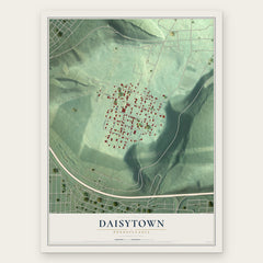
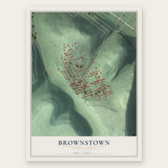
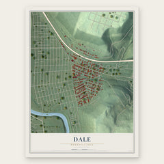
More maps nearby: Southmont, Westmont, Franklin, East Conemaugh and Lorain.
The art of mapping a place
How This Map Was Made
Real places. Remarkable detail. Discover the layers that turn geographic data into a map of home.

The view from above
Aerial imagery reveals the character of the land: woodland, open fields, and the patterns of a place.

The shape of the land
Elevation data brings hills, valleys, and subtle changes in the landscape into view.

The details of home
Roads, waterways, and building footprints come together to make the map feel unmistakably local.

Geography becomes art
Considered color, shading, and typography bring the layers together in a map made for your wall.


Process illustrated with Mendon, Massachusetts. Aerial imagery: USDA NAIP. Terrain: USGS 3D Elevation Program. Map details and finished artwork: KNOWOL.
The Details
About This Print
Choose an archival matte print, or a black or white Ayous wood frame. The archival matte print is unframed.
Select your size and finish above to see the matching product image and price.
Materials & Craftsmanship
A contemporary map with the character of a classic atlas, printed on archival matte paper. Optional frames are made from Ayous wood.
Your printed map does not include the watermark shown in the full-map preview.
Shipping & Delivery
Free shipping within the United States. Every print is made to order in the USA.
Buying a gift? Add a note in your cart and we'll include it. We never put prices in the package.
Prints ship within 2 to 3 business days. Allow 7 to 10 days total from ordering for delivery. Timing may vary during holidays or periods of high order volume.
Read our shipping policy.
Returns and damaged prints
Each print is made to order. Change-of-mind refunds are not available after production.
If your print arrives damaged, misprinted or incorrect, contact support@knowol.com within 30 days of receiving it. Include your order number, photos and a description of the issue.
Read our full refund and replacement policy. For questions about your order, email support@knowol.com.