
Search for another town
Free U.S. delivery 7 to 10 days after you order
Kansas City, Missouri Map Art
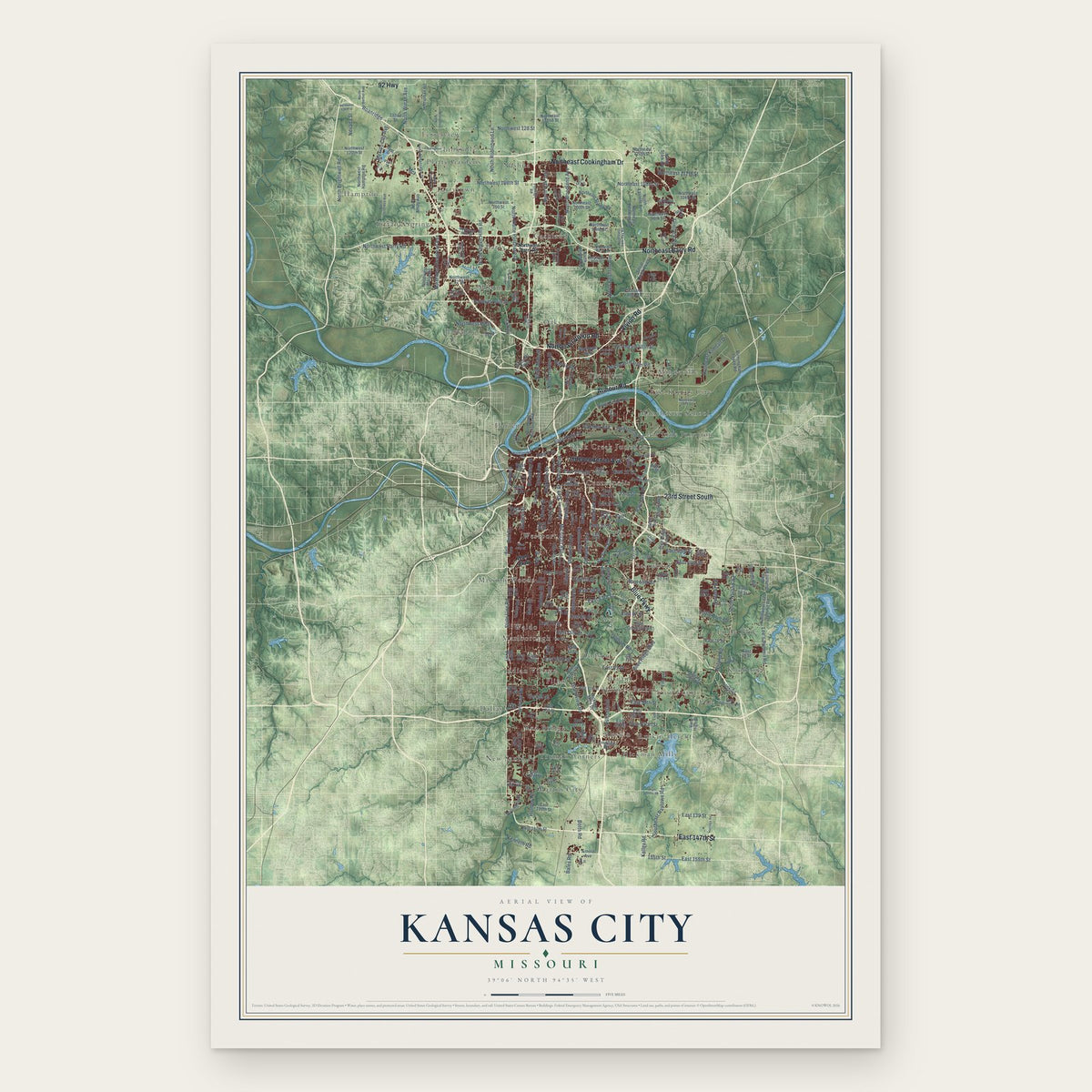
Building by building, with labeled streets and shaded relief.
12" x 18" Archival Matte Print
A Map of Home. A Work of Art.
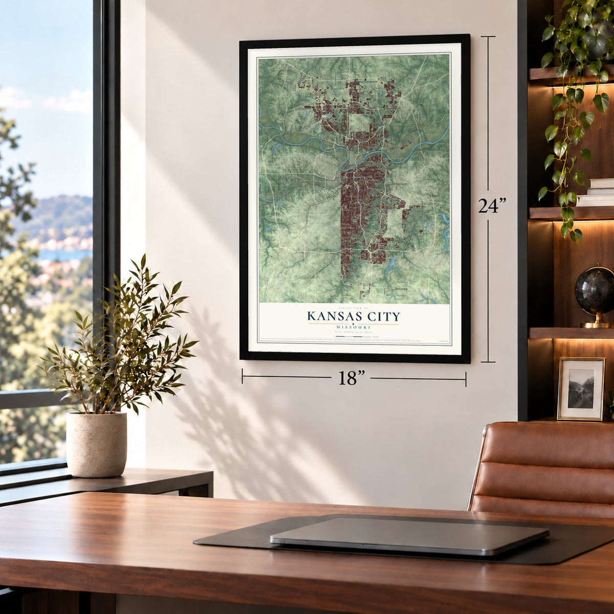
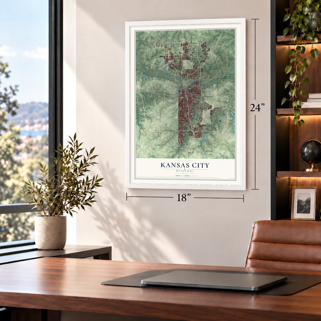
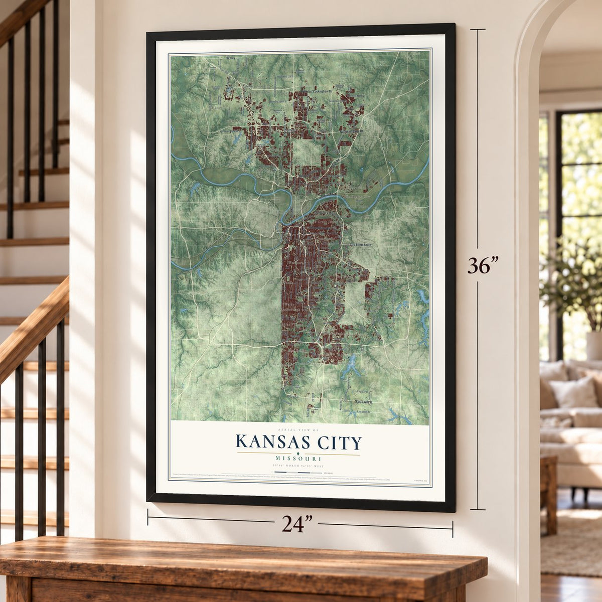
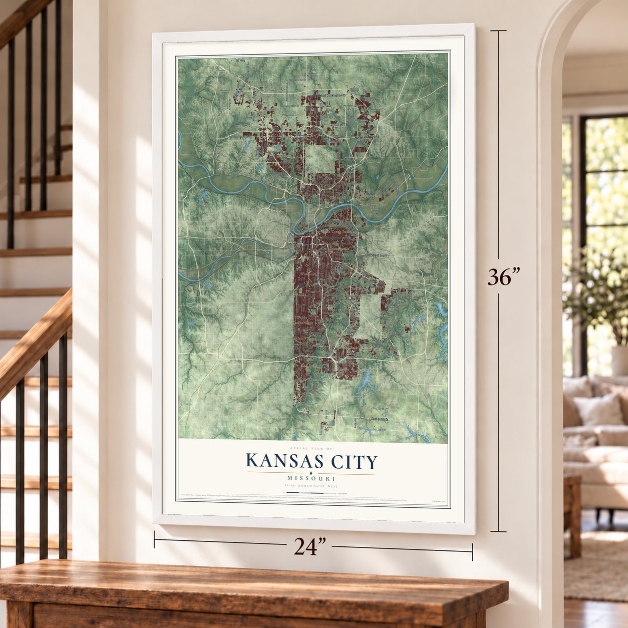
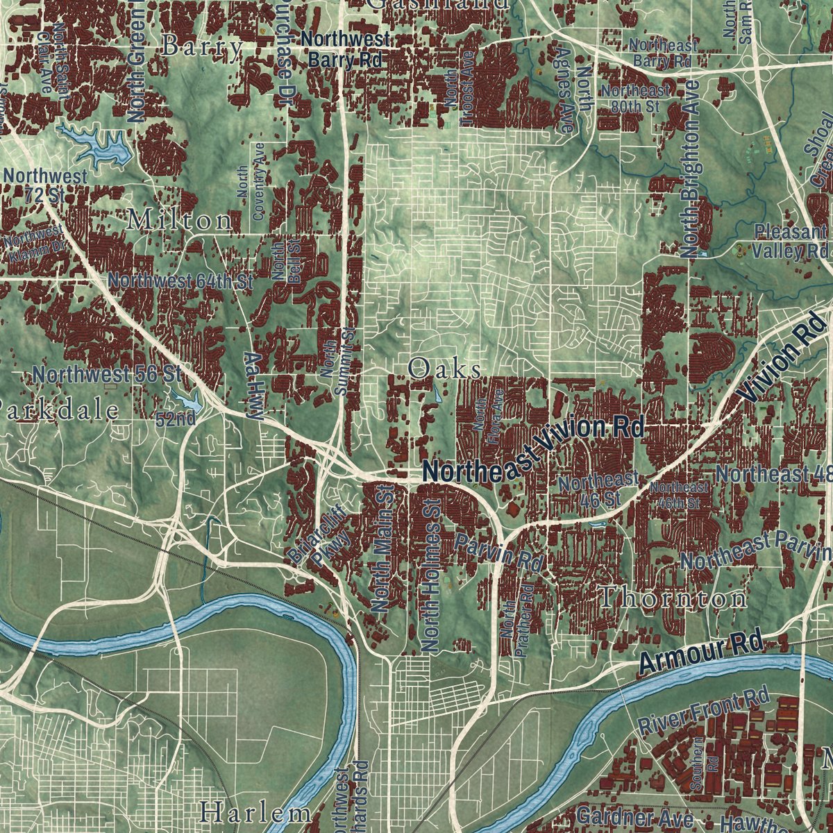
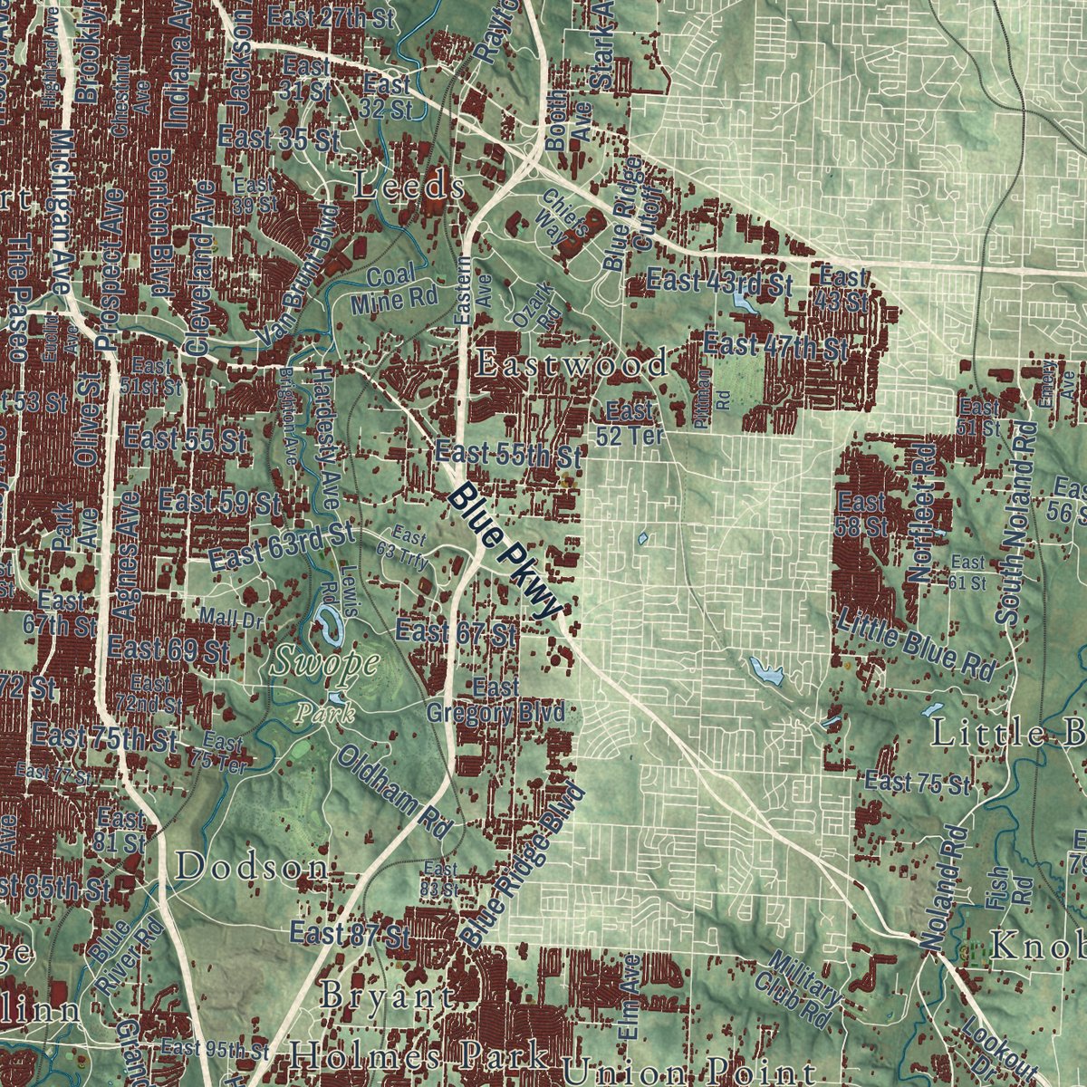
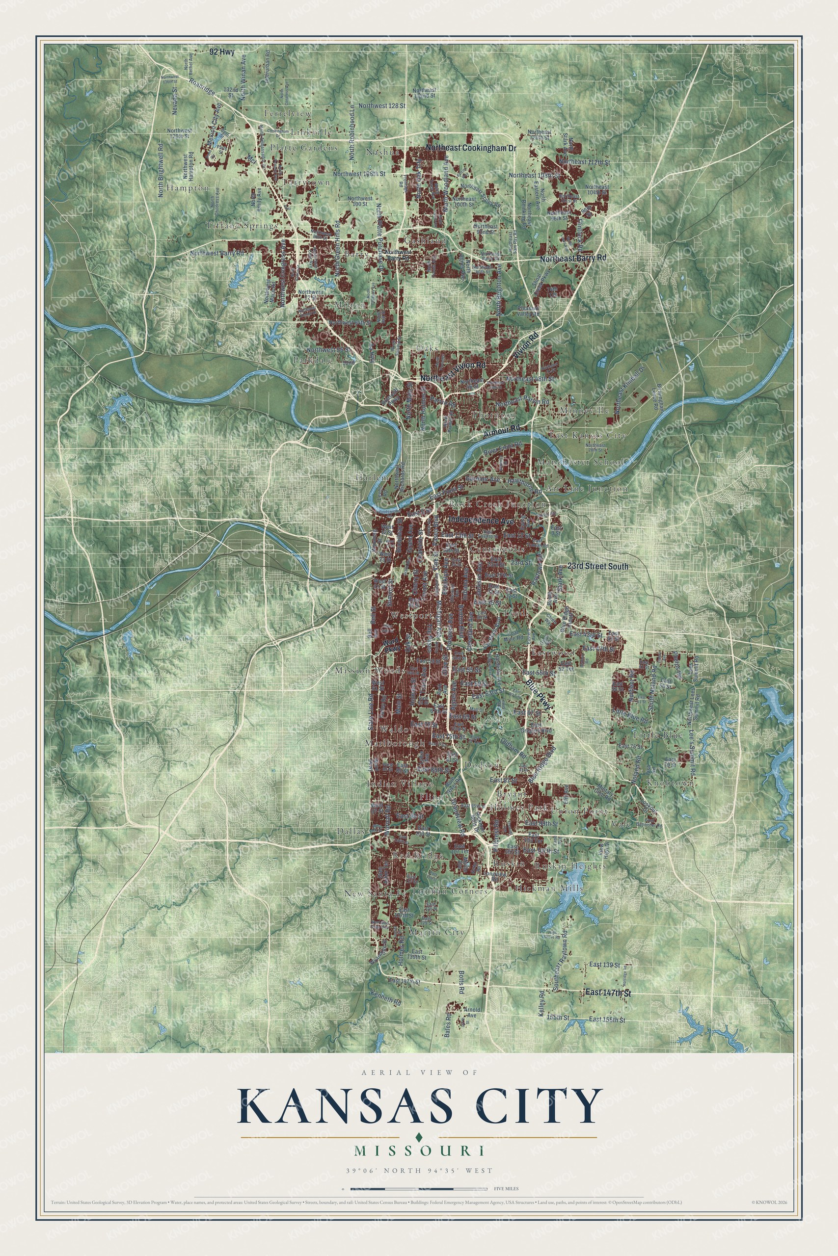
Explore Kansas City, Missouri from a whole new perspective. Created using aerial imagery and detailed geographic data, this map captures Kansas City building by building, with labeled streets, familiar landmarks, and shaded topographical relief that highlights the natural contours of the landscape.
Combining modern data with the timeless character of a vintage atlas, this map is just as interesting up close as it is beautiful on the wall. Whether you grew up in Kansas City, spent memorable years there, or call it home today, this unique map is a great way to celebrate a place that means something to you. Zoom in on the preview to look for your street, and then order a print to put your memories on the wall.
Three ways to hang it
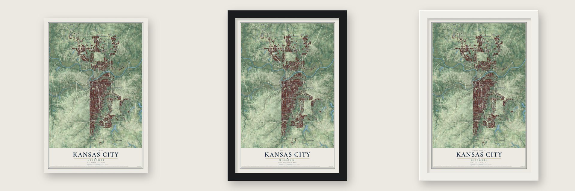
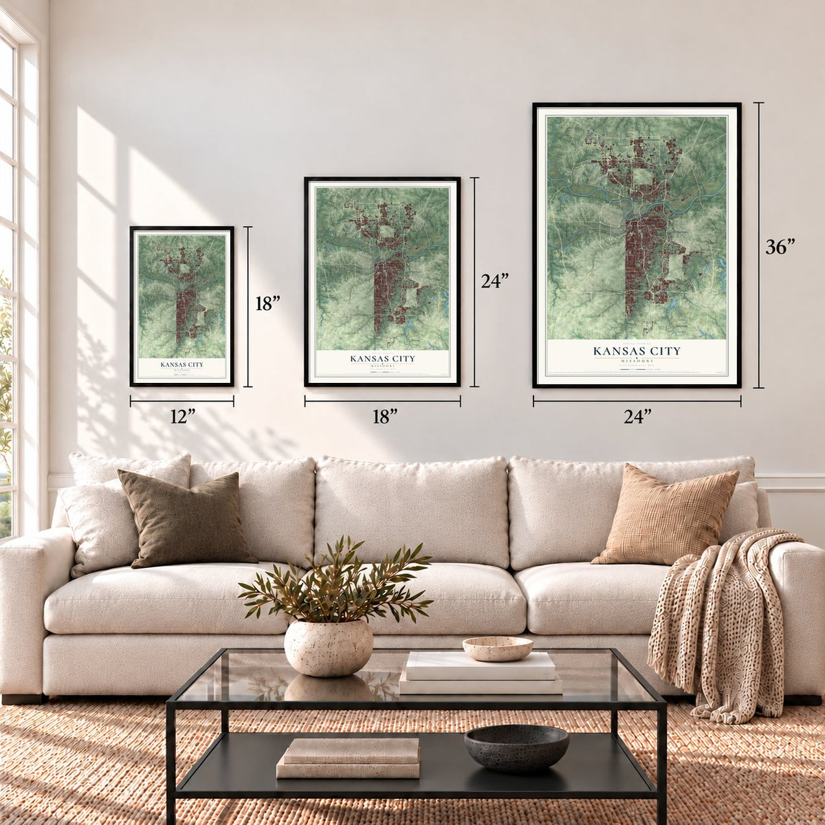
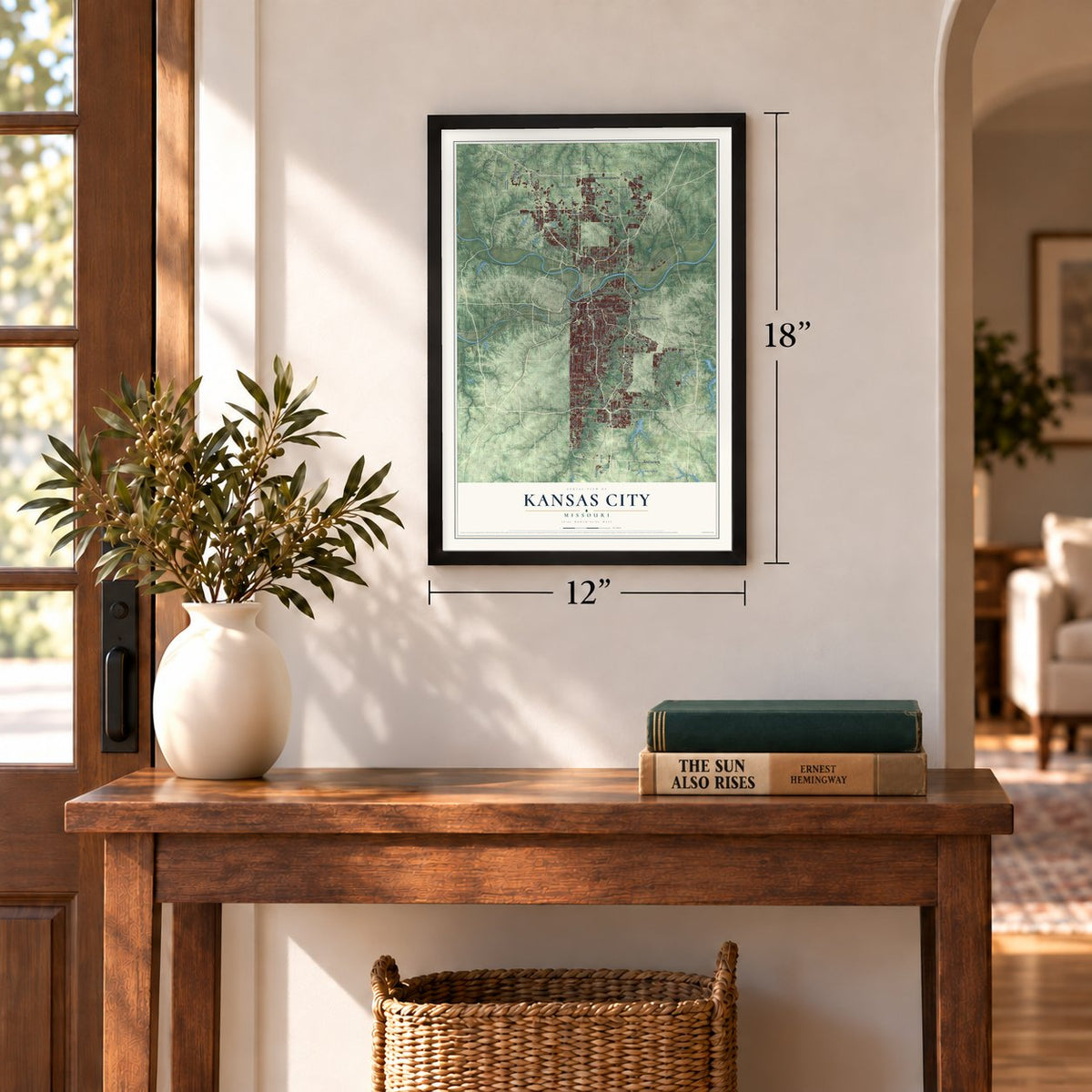
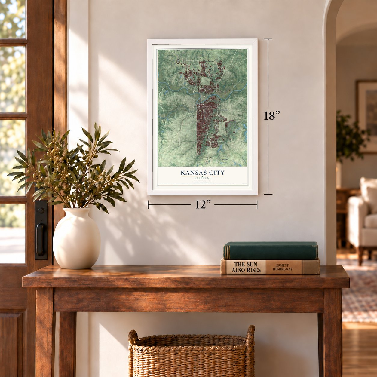
Unframed archival matte, a black wood frame or a white wood frame.
Up close
Geography Worth Displaying
This map was created using accurate cartographic data and authoritative geographic sources, including the U.S. Geological Survey and the Census Bureau. The map brings together terrain, waterways, roads, and building detail. The majority of the streets are labeled, houses are accurately depicted, and the topography is derived from government sources. Combining local data with carefully composed color and shading leads to this beautifully detailed Kansas City artwork for your wall.
Rather than simply showing street outlines, we’ve included as many of the street names as we could reasonably fit on the map while keeping their names legible. Zoom in on the high resolution preview to see exactly what’s on the map. We truly set out to create a statement piece for anyone who loves Kansas City. So whether it’s for you, or a gift for someone you love, we hope this map of Kansas City brings back fond memories.
Read the story behind this map of Kansas City, Missouri from 2026.

Find your street
Names on the Kansas City map
Every name below is printed on this map. Look for your street, your school, the park where you played, or the pond down the road.
Places and landmarks44
- Swope Park
- Nashua
- Martin City
- Minneville
- Hampton
- Ruskin
- Parkdale
- Rock Creek Junction
- Little Blue
- Barry
- Westport
- Waldo
Show all 44 places
- Oaks
- Platte Gardens
- Dallas
- Vale
- Leeds
- Mission Woods
- Centropolis
- Bryant
- Indian Village
- Linkville
- Thornton
- Knobtown
- Gashland
- Eastwood
- East Kansas City
- Milton
- Holmes Park
- Truman Corners
- New Santa Fe
- Tarrytown
- Dodson
- Tiffany Springs
- Harlem
- Union Point
- Red Bridge
- Manchester School
- Ferrelview
- Hickman Mills
- Flinn
- Marlborough
- Ruskin Heights
- Air Line Junction
Streets and roads273
- Blue Parkway
- Northeast Vivion Road
- Northeast Barry Road
- Northeast Cookingham Drive
- Armour Road
- Independence Avenue
- 23rd Street South
- East 147th Street
- Vivion Road
- 92 Highway
- Holmes Street
- State Line Road
- Wornall Road
- North Brighton Avenue
- Grand Avenue
- South Noland Road
- Noland Road
- East 155th Street
- North Main Street
- Benton Boulevard
- East 75th Street
- Broadway Street
- Gardner Avenue
- East 99th Street
- East 13th Street
- 155th Street
- Hawthorne Road
- Stark Avenue
- Paseo Boulevard
- Prospect Avenue
Show all 273 streets
- Raytown Road
- Indiana Avenue
- Summit Street
- Holmes Road
- Troost Avenue
- Cleveland Avenue
- Oak Street
- The Paseo
- Main Street
- Northwest Barry Road
- Brooklyn Avenue
- Blue Ridge Boulevard
- Charlotte Street
- Cherry Street
- River Front Road
- Olive Street
- Tracy Avenue
- Jackson Avenue
- Hillcrest Road
- Agnes Avenue
- North Oak Trfy
- Northeast Parvin Road
- East 63rd Street
- East Front Street
- North Platte Purchase Drive
- North Woodland Avenue
- East 43rd Street
- East 59 Street
- East 12 Street
- East 55 Street
- East 55th Street
- Michigan Avenue
- Grandview Road
- Lee's Summit Road
- East 67 Street
- Northwest 128 Street
- North Green Hills Road
- East 87 Street
- Northeast 108th Street
- East 47th Street
- North Robinhood Lane
- Northwest 108th Street
- Little Blue Road
- East 99 Street
- Northeast 48th Street
- Flintlock Road
- Southeast Raytown Road
- East 139 Street
- Aa Highway
- East 107th Street
- North Holmes Street
- East 35 Street
- Northwest 56 Street
- North Winan Avenue
- East 72 Street
- East 85th Street
- Northeast Kimball Drive
- Northwest Congress Avenue
- East 69 Street
- North Brightwell Road
- Oldham Road
- Northeast 112th Street
- Bell Street
- Nevada Street
- Mexico City Avenue
- Norfleet Road
- Kelley Road
- Roanridge
- Phelps Road
- Vine Street
- McI
- Kenneth Road
- 23rd Street
- Parvin Road
- Botts Road
- Bales Road
- East 5 Street
- Ward Parkway
- Shoal Creek Parkway
- Northeast 96th Street
- East 75 Street
- Longview Road
- Northeast 46 Street
- Northeast Staley Road
- Pleasant Valley Road
- West 23 Street
- Arnold Avenue
- Birmingham Levee Road
- Van Brunt Boulevard
- Blue River Road
- Wyandotte Street
- East Gregory Boulevard
- Hardesty Avenue
- Hickman Mills Drive
- Myrtle Avenue
- Lydia Avenue
- East 43 Street
- Park Avenue
- Wyoming Street
- East 58 Street
- East 27th Street
- East 9 Street
- East 56 Street
- East 31 Street
- East 67th Street
- Booth Avenue
- North Eastern Avenue
- Northwest Hampton Road
- East 53 Street
- View High Drive
- East 18th Street
- East 23rd Street
- East 79 Street
- East 107 Street
- East 36 Street
- North Agnes Avenue
- Northeast Reinking Road
- Ewing Avenue
- Northwest Lees Summit Road
- East 85 Street
- Interurban Road
- East 103 Street
- North Amity Avenue
- Northeast 92nd Street
- Levee Road
- East 139th Street
- Northeast 100th Street
- North Stark Avenue
- Northwest Mace Road
- East 81 Street
- Blue Ridge Cutoff
- Coal Mine Road
- Northwest 120th Street
- Bell Avenue
- Northeast 120th Street
- Northeast 104th Street
- East 107 Terrace
- Northwest 72 Street
- Northwest 64th Street
- East 52 Terrace
- Elm Avenue
- Northwest 100 Street
- Northwest Richards Road
- East 32 Street
- West 31 Street
- West 12 Street
- Valley Road
- Lees Summit Road
- Briarcliff Parkway
- West 61 Street
- Northeast 132nd Street
- Military Club Road
- East 103 Terrace
- Glen Arbor Terrace
- West 97 Street
- East 127th Street
- 74th Terrace
- Fish Road
- Lookout Drive
- 132nd Street
- 52nd
- 96th Street
- North Ambassador Drive
- East 117 Street
- East Bannister Road
- East Truman Road
- Chestnut Avenue
- East 51st Street
- East Twelfth Street
- Eastern Avenue
- East 39 Street
- East 51 Street
- East 95th Street
- North Summit Street
- North Tracy Avenue
- North Troost Avenue
- East 72nd Street
- North Childress Avenue
- East 24 Street
- Northeast 101st Street
- Northeast 80th Street
- Northwest 88th Street
- North Bethel Avenue
- North Saint Clair Avenue
- Lane Avenue
- East 75 Terrace
- North Prather Road
- East 65 Street
- North Bell Street
- East 129 Street
- Northeast Sam Ray Road
- Frontage Road
- Ozark Road
- West 85 Street
- Northeast 28th Street
- Chiefs Way
- Paris Street
- Mall Drive
- Lewis Road
- Bern Street
- Norby Road
- East 125 Street
- North Congress Avenue
- Highland Avenue
- Northeast 46th Street
- North Pomona Avenue
- Northeast 51 Street
- High Grove Road
- Forest Avenue
- Locust Street
- Euclid Avenue
- East 56th Street
- East 61 Street
- Fremont Avenue
- Brighton Avenue
- North Lewis Avenue
- Grand Boulevard
- East 83 Street
- North Flora Avenue
- East 77 Street
- North Lydia Avenue
- East 63 Trfy
- Horridge Road
- Pittman Road
- Cookingham Drive
- Wilson Avenue
- North Coventry Avenue
- East 106th Street
- Woodswether Road
- East 116 Street
- North Avalon Street
- Northwest 136th Street
- Northwest Klamm Drive
- West 103 Street
- Southern Road
- West 17 Street
- Bonn Circle
- West 44th Street
- West Blue Ridge Boulevard
- Emery Avenue
- Falcon Way
- 157th Street
- Polo
Names are listed as they appear on the printed map. Zoom into the product photos to find them.
About Kansas City, Missouri
Kansas City is a city of 508,090 people and the largest in Missouri, set where the Kansas River flows into the Missouri. In 1821 François Chouteau of the St. Louis fur-trading family built warehouses and homes here, a post called Chouteau's Landing that became the first permanent settlement on the site. Floods forced it to move several times, but the Chouteaus and the French Canadian traders who came with them stayed.
In 1833 John Calvin McCoy founded West Port, a stop on the trails west to Santa Fe, Oregon and California, set three miles back from the river. A year later he opened Westport Landing on a rocky ledge at a bend in the Missouri. Fourteen investors bought Gabriel Prudhomme's 257 acres along the river at auction in 1838 for $4,220, and by February 1850 every lot was sold. The landing became the town of Kansas in 1850 and the City of Kansas in 1853, with 2,500 people on 0.70 square miles. Once Kansas Territory was created, people confused the city with the territory, so in 1889 the name became Kansas City.
“Pendergast may bear comparison to various big-city bosses, but his open alliance with hardened criminals, his cynical subversion of the democratic process, his monarchistic style of living, his increasingly insatiable gambling habit, his grasping for a business empire, and his promotion of Kansas City as a wide-open town with every kind of vice imaginable, combined with his professed compassion for the poor and very real role as city builder, made him bigger than life, difficult to characterize.”
- The Battle of Westport, 1864Union troops held Kansas City through the Civil War, and its defenses were too strong for the Confederates to attack. In October 1864, Sterling Price's army won the Second Battle of Independence on October 21 and 22. The next day Price was badly beaten at the Battle of Westport, and the South never again seriously tried to retake Missouri.
- The Hannibal Bridge, 1869After the war, railroad builders picked Kansas City instead of Leavenworth, Kansas, as the place where the Hannibal and St. Joseph Railroad would cross the Missouri. Octave Chanute designed the bridge, and once it opened in 1869 the population took off. Westport joined the city on December 2, 1897, and by 1900 Kansas City ranked 22nd in the nation with 163,752 people.
- Walt Disney's first studioElias Disney moved his family from Marceline to a new house at 3028 Bellefontaine in 1911 and built a garage behind it, where his son Walt made his first animation. Walt came home in 1919 after driving a Red Cross ambulance in France and started Laugh-O-Gram Studio. When it went bankrupt he left for Hollywood, and there, on October 16, 1923, he founded The Walt Disney Company. The house and garage are on the National Register.
- Union Station and Liberty MemorialThe new Union Station opened in 1914 and replaced the old Union Depot in the West Bottoms. The Liberty Memorial followed in 1923, with lumberman Robert A. Long leading the drive to pay for it. In 1925 J. C. Nichols opened the Country Club Plaza as part of his Country Club District.
- Tom Pendergast's cityBy 1925 Tom Pendergast's political machine ran Kansas City, and City Hall and the Jackson County Courthouse went up in his years. He helped Harry S. Truman, a friend of his nephew, start the career that took him to the Senate, the vice presidency and the White House. The machine collapsed in 1939, when an ailing Pendergast pleaded guilty to tax evasion. His headquarters building is on the National Register.
Keep exploring Missouri
Kansas City is one of 1,207 Missouri towns we've mapped. Every dot on the map is a print of its own.
The search covers every state, Missouri first.
Near Kansas City
Order 2 or more town maps and save 10%. Shown in the size and finish you picked above, so they hang as a set.
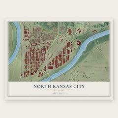
- North Kansas City 12" x 18" / Archival Matte Print $39.99
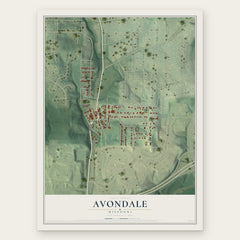
- Avondale 12" x 18" / Archival Matte Print $39.99
- Randolph 12" x 18" / Archival Matte Print $39.99

More maps nearby: Blue Summit, Northmoor, Oaks, Oakwood and Riverside.
The art of mapping a place
How This Map Was Made
Real places. Remarkable detail. Discover the layers that turn geographic data into a map of home.

The view from above
Aerial imagery reveals the character of the land: woodland, open fields, and the patterns of a place.

The shape of the land
Elevation data brings hills, valleys, and subtle changes in the landscape into view.

The details of home
Roads, waterways, and building footprints come together to make the map feel unmistakably local.

Geography becomes art
Considered color, shading, and typography bring the layers together in a map made for your wall.


Process illustrated with Mendon, Massachusetts. Aerial imagery: USDA NAIP. Terrain: USGS 3D Elevation Program. Map details and finished artwork: KNOWOL.
The Details
About This Print
Choose an archival matte print, or a black or white Ayous wood frame. The archival matte print is unframed.
Select your size and finish above to see the matching product image and price.
Materials & Craftsmanship
A contemporary map with the character of a classic atlas, printed on archival matte paper. Optional frames are made from Ayous wood.
Your printed map does not include the watermark shown in the full-map preview.
Shipping & Delivery
Free shipping within the United States. Every print is made to order in the USA.
Buying a gift? Add a note in your cart and we'll include it. We never put prices in the package.
Prints ship within 2 to 3 business days. Allow 7 to 10 days total from ordering for delivery. Timing may vary during holidays or periods of high order volume.
Read our shipping policy.
Returns and damaged prints
Each print is made to order. Change-of-mind refunds are not available after production.
If your print arrives damaged, misprinted or incorrect, contact support@knowol.com within 30 days of receiving it. Include your order number, photos and a description of the issue.
Read our full refund and replacement policy. For questions about your order, email support@knowol.com.