
Search for another town





Free U.S. delivery 7 to 10 days after you order
Key West, Florida Map Art
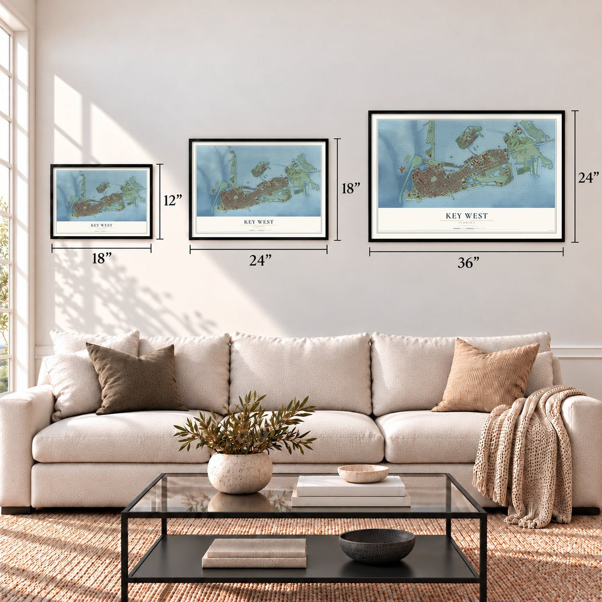
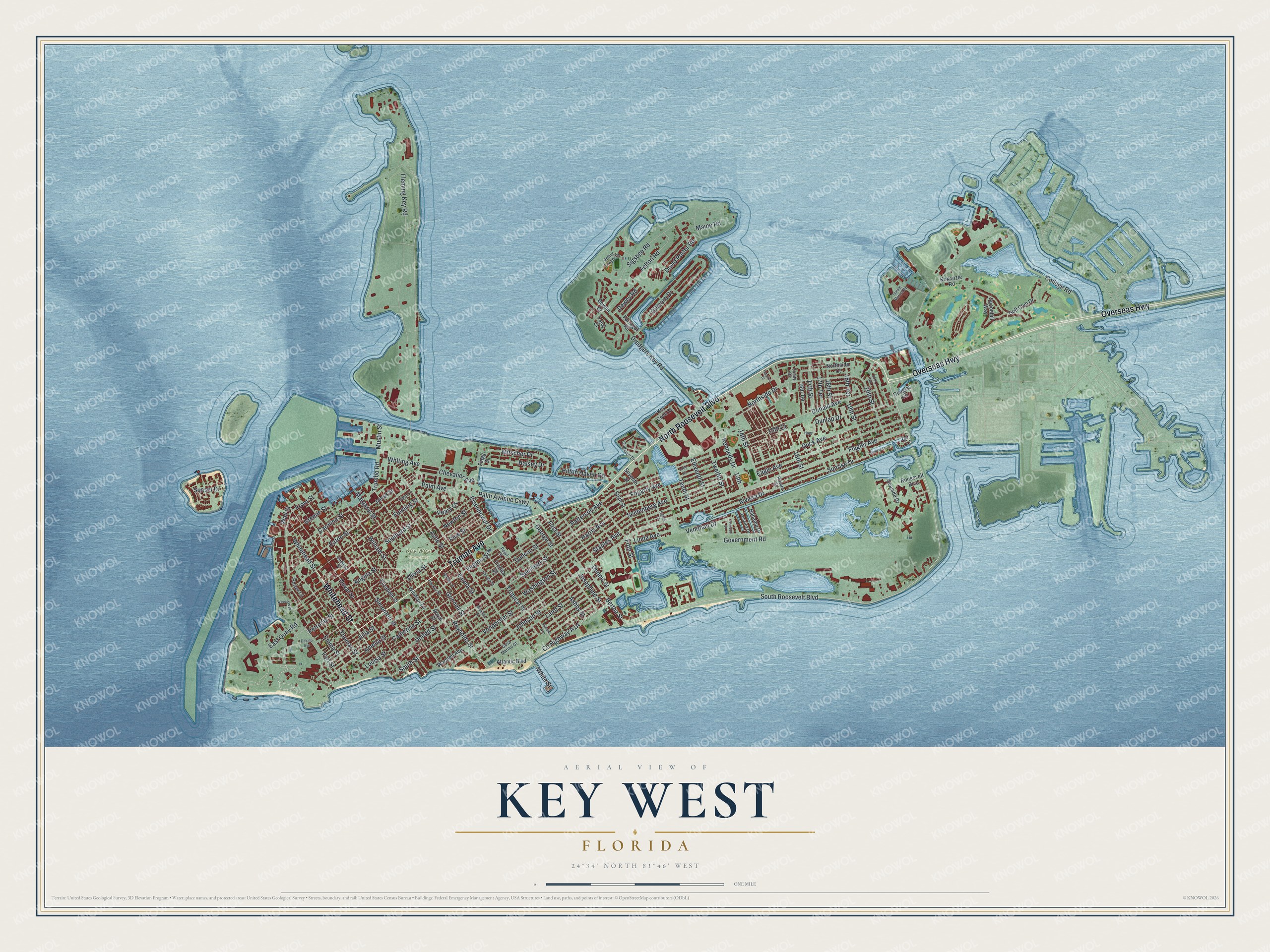
A new map of Key West, Florida, made in 2026 and printed to order on thick archival matte paper.
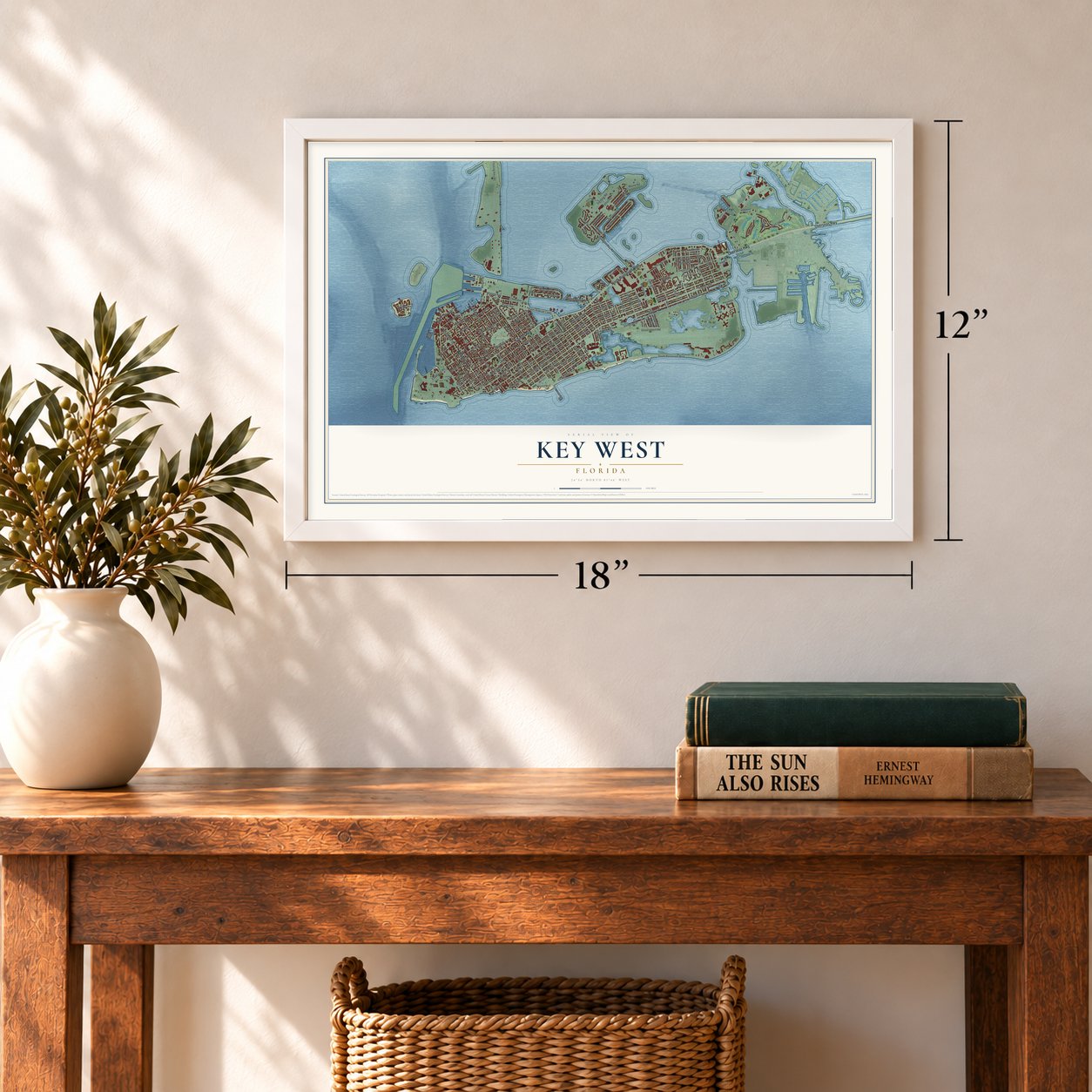
12" x 18" Archival Matte Print
A Map of Home. A Work of Art.
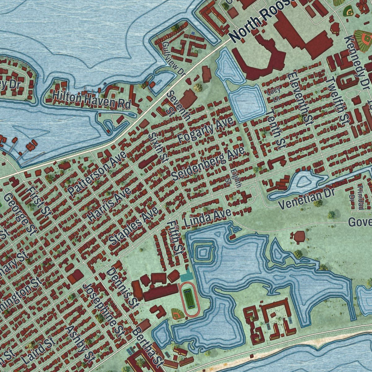
Explore Key West, Florida from a whole new perspective. Created using aerial imagery and detailed geographic data, this map captures Key West building by building, with labeled streets, familiar landmarks, and shaded topographical relief that highlights the natural contours of the landscape.
Combining modern data with the timeless character of a vintage atlas, this map is just as interesting up close as it is beautiful on the wall. Whether you grew up in Key West, spent memorable years there, or call it home today, this unique map is a great way to celebrate a place that means something to you. Zoom in on the preview to look for your street, and then order a print to put your memories on the wall.
Three ways to hang it
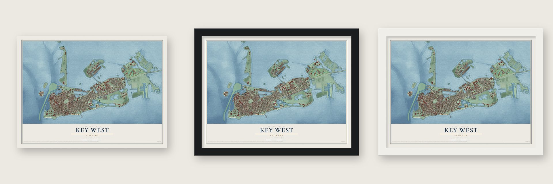
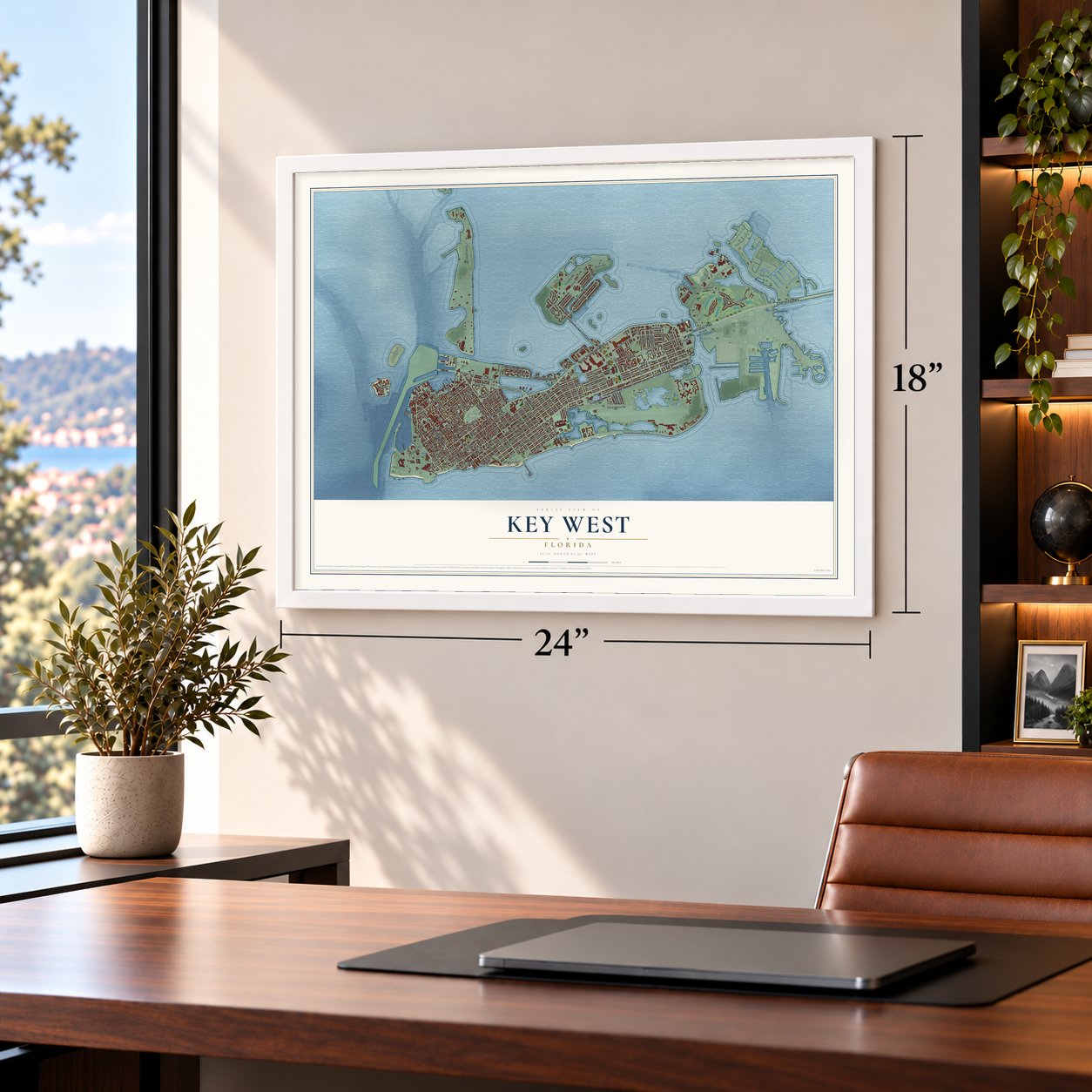
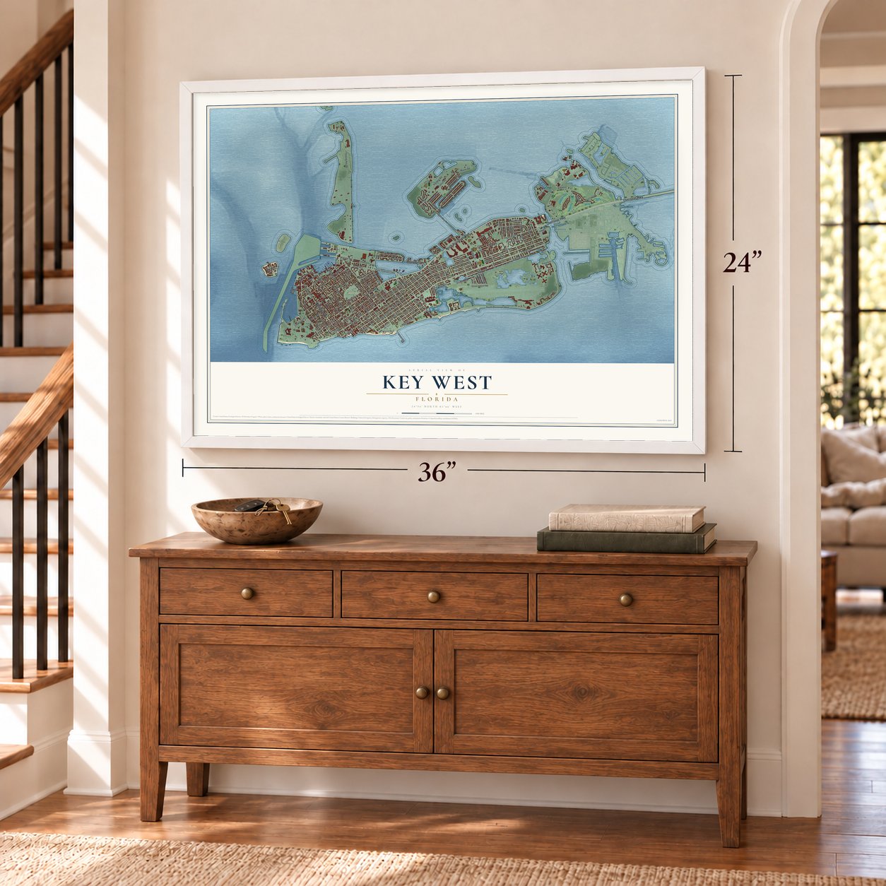
Unframed archival matte, a black wood frame or a white wood frame.
Up close
Geography Worth Displaying
This map was created using accurate cartographic data and authoritative geographic sources, including the U.S. Geological Survey (USGS) and FEMA. The map brings together terrain, waterways, roads, and building detail. The majority of the streets are labeled, houses are accurately depicted, and the topography is derived from government sources. Combining local data with carefully composed color and shading leads to this beautifully detailed Key West artwork for your wall.
Rather than simply showing street outlines, we’ve included as many of the street names as we could reasonably fit on the map while keeping their names legible. Zoom in on the high resolution preview to see exactly what’s on the map. We truly set out to create a statement piece for anyone who loves Key West. So whether it’s for you, or a gift for someone you love, we hope this map of Key West brings back fond memories.
Explore the full map of Key West, Florida and read about the local places it shows.

About Key West, Florida
Key West, the county seat of Monroe County, is a city of 26,444 people near the tip of the Florida Keys. The Spanish named the island Cayo Hueso, meaning "bone cay." Cuba's Spanish governor handed it in 1815 to Juan Pablo Salas, a navy artillery officer. Once Florida became American, Salas sold the island twice: first to John Geddes for a sloop worth $575, then to John W. Simonton at a Havana café on January 19, 1822. Simonton's friends in Washington helped him win clear title.
Simonton's friend John Whitehead had been shipwrecked on the island in 1819, and its deep harbor stayed on his mind. On March 25, 1822, Matthew C. Perry arrived on the schooner Shark and raised the American flag, and nobody protested the claim. Simonton then lobbied for a naval base, and the Navy has been here since 1823. Salvaging wrecks made the island rich. From 1830 to 1861 it was also a major source of the nation's salt, which workers took from tidal pools until a hurricane in 1876 wrecked the trade for good.
- Cigars and Cuban exilesCubans fleeing the Ten Years' War settled in Key West, and cigar factories followed them from Cuba. In 1871 exiles opened the San Carlos Institute. On April 1, 1886, a fire that began beside it destroyed 18 cigar factories and 614 houses and warehouses. Some owners rebuilt in Ybor City in Tampa instead, and the local cigar trade slowly faded. In 1892 José Martí used the institute to show that the exiles stood united for Cuban independence.
- Held by the UnionFlorida left the Union, but Key West stayed in federal hands because of its naval base. Fort Zachary Taylor, built between 1845 and 1866, was a key outpost, and in 1861 work started on East and West Martello Towers, later tied to the fort by railroad tracks for hauling munitions. Enslaved people fled to the Union garrison for protection, and 900 soldiers of the 2nd United States Colored Troops arrived early in 1864.
- Truman's Little White HousePresident Harry S. Truman came to the naval station's Little White House 11 times and spent 175 days of his presidency there. After he won the 1948 election, the city renamed Division Street as Truman Avenue. During World War I, Thomas Edison had lived in the same house, where he developed 41 underwater weapons.
- Hemingway on Whitehead StreetErnest Hemingway lived from 1931 to 1939 in an 1851 house at 907 Whitehead Street, facing the Key West Lighthouse. To Have and Have Not and Green Hills of Africa both came from his years there, and his wife Pauline added the earliest swimming pool anywhere in the Florida Keys. The Ernest Hemingway House is now on the National Register.
- The Conch Republic, 1982In 1982 the Border Patrol set up a roadblock on U.S. 1 near Florida City, and traffic in and out of the Keys jammed. In protest, the city declared itself the Conch Republic, declared war on the United States, gave up one minute later and requested a billion dollars in foreign aid. Key West still marks its independence every April 23.
Find your street
Names on the Key West map
Every name below is printed on this map. Look for your street, your school, the park where you played, or the pond down the road.
Places and landmarks1
- Key West Cemetery
Streets and roads151
- North Roosevelt Boulevard
- Truman Avenue
- Whitehead Street
- Overseas Highway
- South Roosevelt Boulevard
- Amelia Street
- Bertha Street
- Eisenhower Drive
- Halsey Drive
- Sunrise Drive
- Palm Avenue
- 17th Street
- Palm Avenue Causeway
- Donald Avenue
- East Quay Road
- Caroline Street
- Mitscher Drive
- Dredgers Key Road
- 19th Street
- Greene Street
- Chevalier Avenue
- Front Street
- Whiting Avenue
- Flagler Avenue
- College Road
- Fleming Key Road
- White Street
- Simonton Street
- United Street
- Catherine Street
Show all 151 streets
- Duval Street
- Olivia Street
- South Street
- Government Road
- Gilmore Drive
- Sigsbee Road
- Staples Avenue
- Grinnell Street
- Northside Drive
- Angela Street
- Southard Street
- Harris Avenue
- Virginia Street
- William Street
- Seidenberg Avenue
- Fogarty Avenue
- Eaton Street
- Washington Street
- Eagle Avenue
- Duck Avenue
- Patterson Avenue
- Fleming Street
- Petronia Street
- Peary Court
- Vonphister Street
- Seminary Street
- Johnson Street
- Riviera Drive
- Margaret Street
- George Street
- Thomas Street
- 14th Street
- Ashby Street
- Sunset Drive
- 13th
- Kennedy Drive
- Emma Street
- 15th Court
- Venetian Drive
- Maine Road
- Duncan Street
- Laird Street
- 20th Street
- Fifth Street
- Felton Road
- Louisa Street
- First Street
- 18th Street
- Mustin Street
- Trumbo Road
- Reynolds Street
- Eleventh Street
- Fort Street
- 17th Terrace
- Julia Street
- Hilton Haven Road
- Twelfth Street
- Dunlap Drive
- Tenth Street
- David Porter Road
- Newton Street
- Pine Street
- Dewey Road
- 18th Terrace
- Varela Street
- Ashe Street
- Josephine Street
- Tropical Street
- Linda Avenue
- Dennis Street
- Wall Street
- 16th Street
- Atlantic Boulevard
- Flagg Street
- Golf Club Drive
- Elizabeth Street
- Seaside Drive
- Florida Street
- Windsor Lane
- Seventh Street
- Douglas Circle
- 16th Terrace
- Roosevelt Boulevard
- Sixth Street
- Key Cove Drive
- Waddell Avenue
- Farragut Road
- Royal Street
- Porter Lane
- Spoonbill Way
- James Street
- Bowfin Court
- Bahama Drive
- Northside Court
- Kokenzie Road
- Tang Court
- Go Lane
- Pearl Street
- Arthur Sawyer Drive
- Packer Street
- Casa Marina Court
- Gulfview Drive
- Elgin Lane
- Bahama Street
- Jamaica Drive
- Riviera Street
- Trinity Drive
- Hoey
- Georgia Street
- Watson Street
- Sunset Marina Road
- Whalton Street
- Dekalb Avenue
- Eighth Street
- 20th Terrace
- Stevens Avenue
- Toppino Drive
- Sunrise Lane
- Weech Way
- Lucy Lane
- Trinidad Drive
Names are listed as they appear on the printed map. Zoom into the product photos to find them.
The art of mapping a place
How This Map Was Made
Real places. Remarkable detail. Discover the layers that turn geographic data into a map of home.

The view from above
Aerial imagery reveals the character of the land: woodland, open fields, and the patterns of a place.

The shape of the land
Elevation data brings hills, valleys, and subtle changes in the landscape into view.

The details of home
Roads, waterways, and building footprints come together to make the map feel unmistakably local.

Geography becomes art
Considered color, shading, and typography bring the layers together in a map made for your wall.


Process illustrated with Mendon, Massachusetts. Aerial imagery: USDA NAIP. Terrain: USGS 3D Elevation Program. Map details and finished artwork: KNOWOL.
The Details
About This Print
Choose an archival matte print, or a black or white Ayous wood frame. The archival matte print is unframed.
Select your size and finish above to see the matching product image and price.
Materials & Craftsmanship
A contemporary map with the character of a classic atlas, printed on archival matte paper. Optional frames are made from Ayous wood.
Your printed map does not include the watermark shown in the full-map preview.
Shipping & Delivery
Free shipping within the United States. Every print is made to order in the USA.
Buying a gift? Add a note in your cart and we'll include it. We never put prices in the package.
Prints ship within 2 to 3 business days. Allow 7 to 10 days total from ordering for delivery. Timing may vary during holidays or periods of high order volume.
Read our shipping policy.
Returns and damaged prints
Each print is made to order. Change-of-mind refunds are not available after production.
If your print arrives damaged, misprinted or incorrect, contact support@knowol.com within 30 days of receiving it. Include your order number, photos and a description of the issue.
Read our full refund and replacement policy. For questions about your order, email support@knowol.com.
Find your town
Looking for another city?
Find a map of home in our Florida collection, or any town in the country.
Nearby
Maps of towns near Key West
Know someone from one of these towns? Their map makes a great gift.
 Stock Island
, Florida
From $39.99See the map
 Big Coppitt Key
, Florida
From $39.99See the map
 Cudjoe Key
, Florida
From $39.99See the map
More maps nearby: Big Pine Key, Marathon, Key Colony Beach, Duck Key and Layton.