
Search for another town
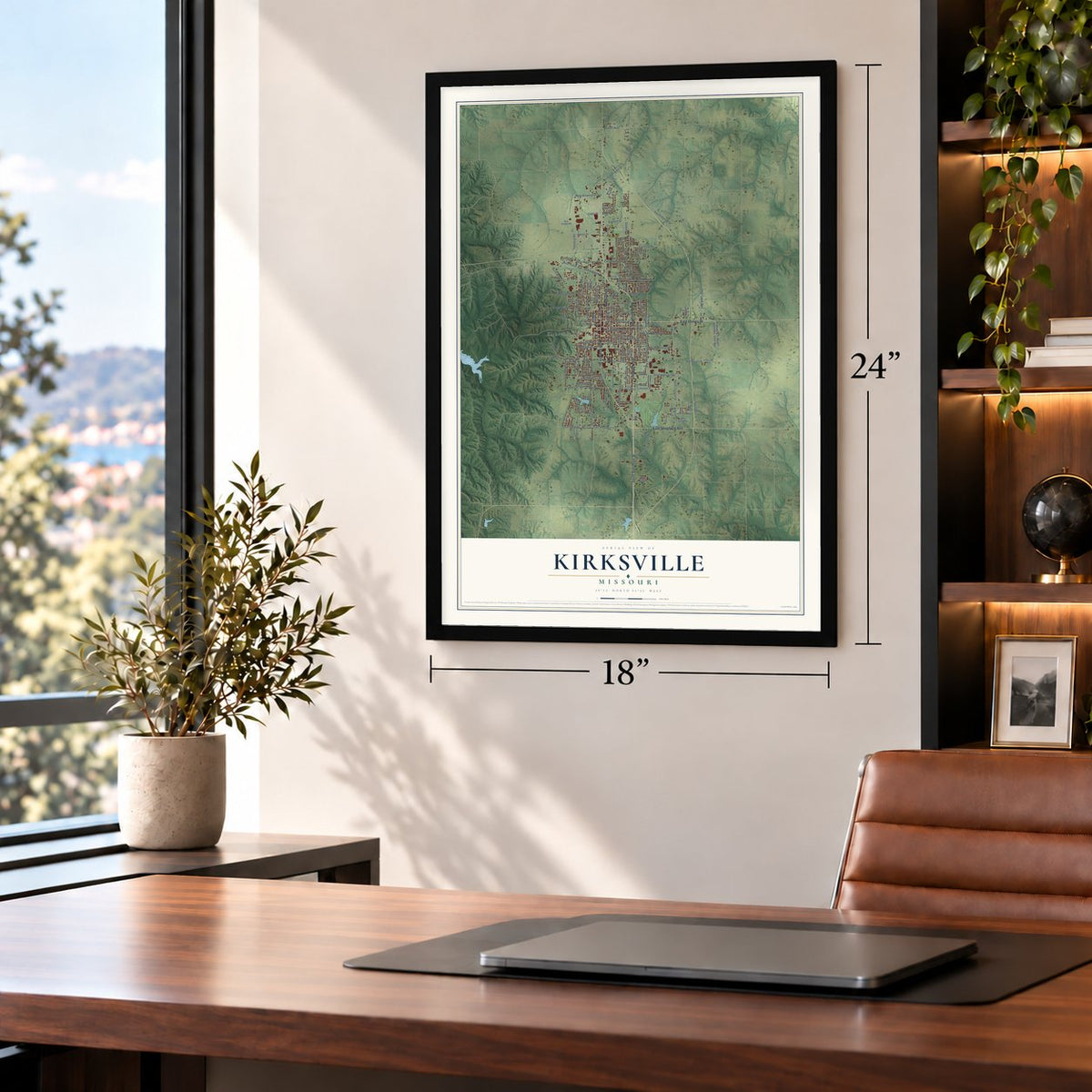
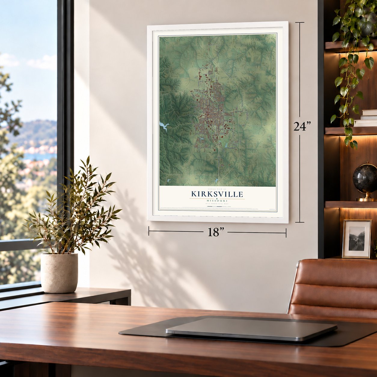
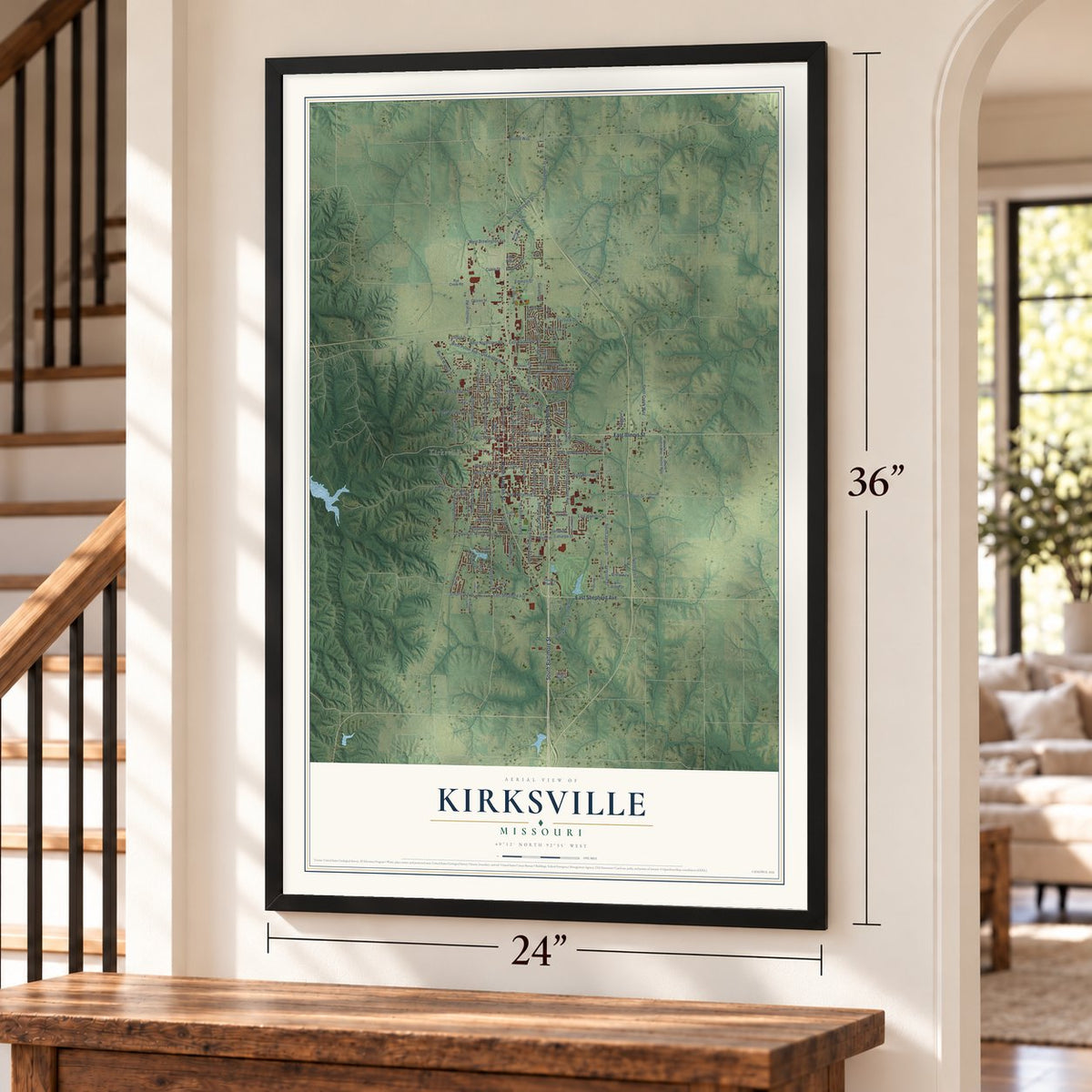
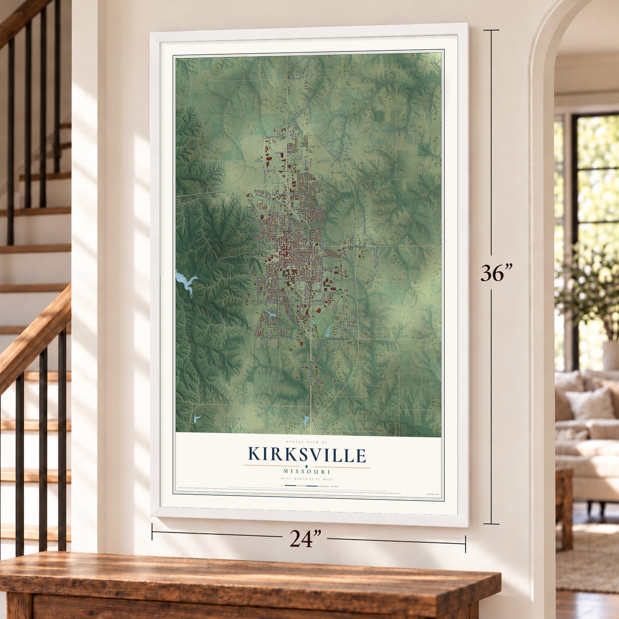

Free U.S. delivery 7 to 10 days after you order
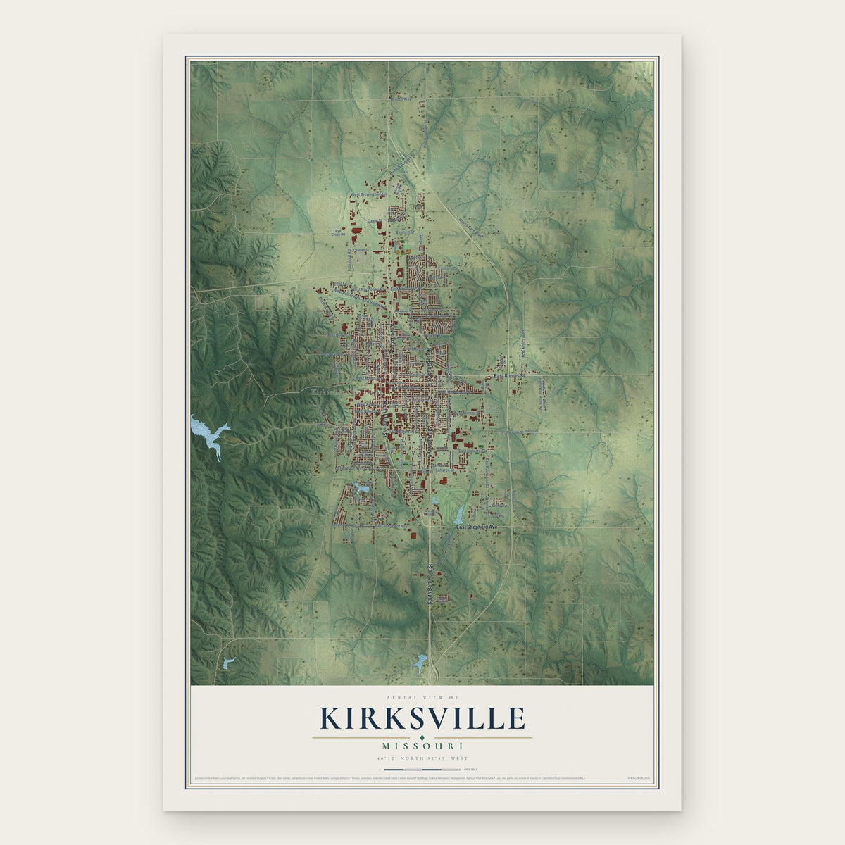
Kirksville, Missouri Map Art
Building by building, with labeled streets and shaded relief.
12" x 18" Archival Matte Print
A Map of Home. A Work of Art.
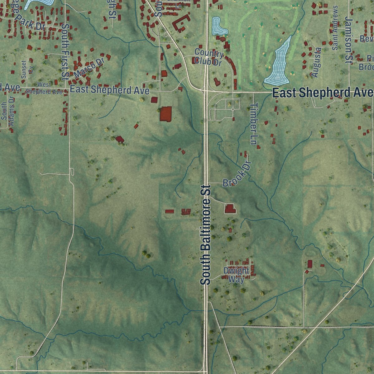
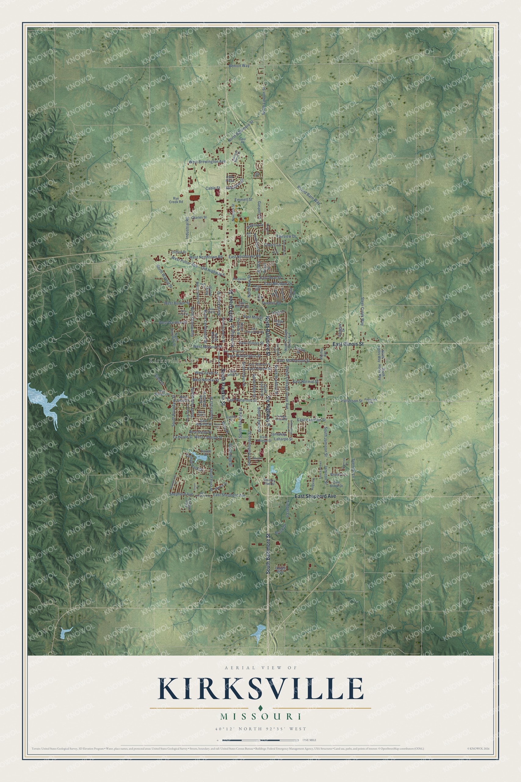
Explore Kirksville, Missouri from a whole new perspective. Created using aerial imagery and detailed geographic data, this map captures Kirksville building by building, with labeled streets, familiar landmarks, and shaded topographical relief that highlights the natural contours of the landscape.
Combining modern data with the timeless character of a vintage atlas, this map is just as interesting up close as it is beautiful on the wall. Whether you grew up in Kirksville, spent memorable years there, or call it home today, this unique map is a great way to celebrate a place that means something to you. Zoom in on the preview to look for your street, and then order a print to put your memories on the wall.
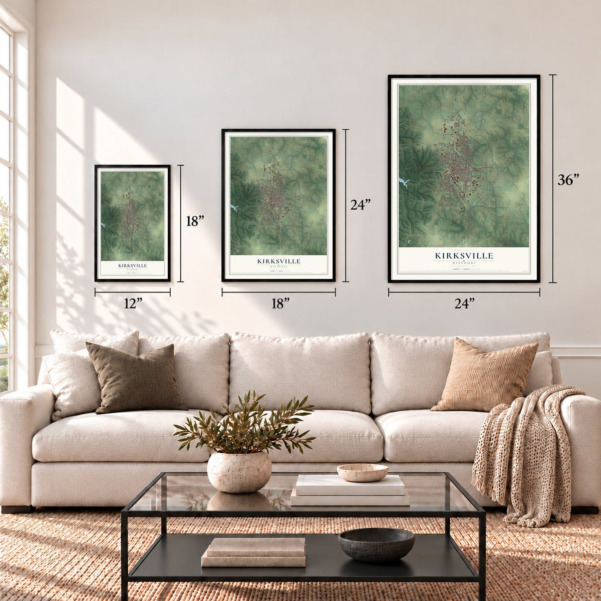
Three ways to hang it
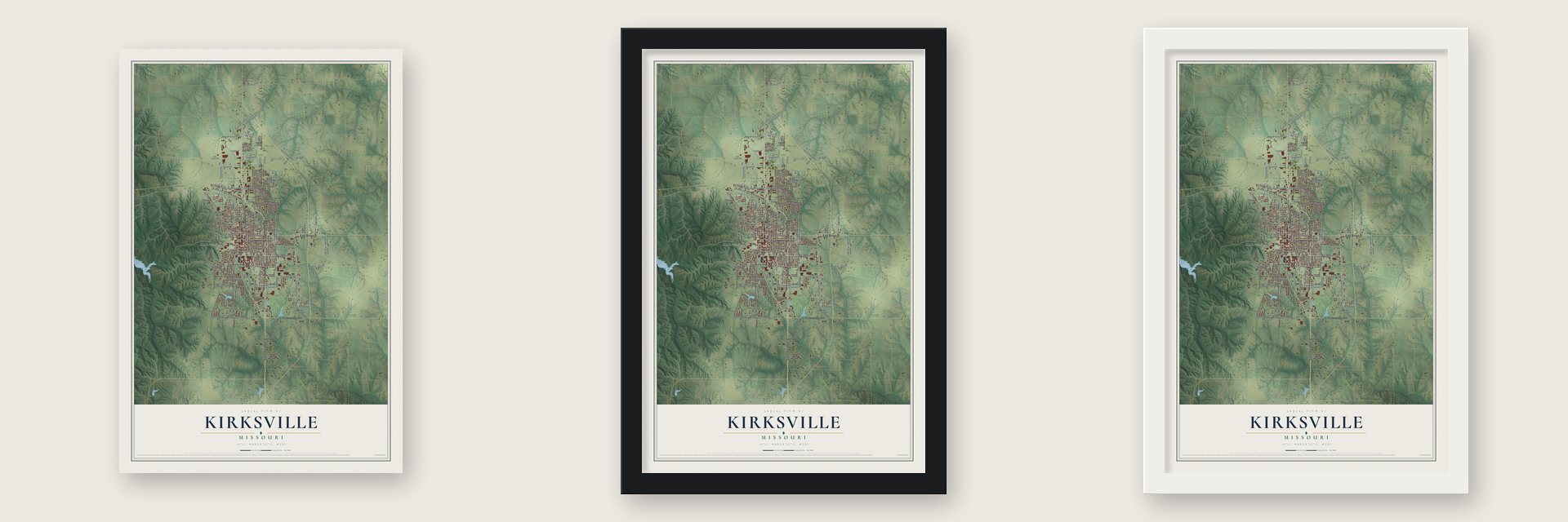
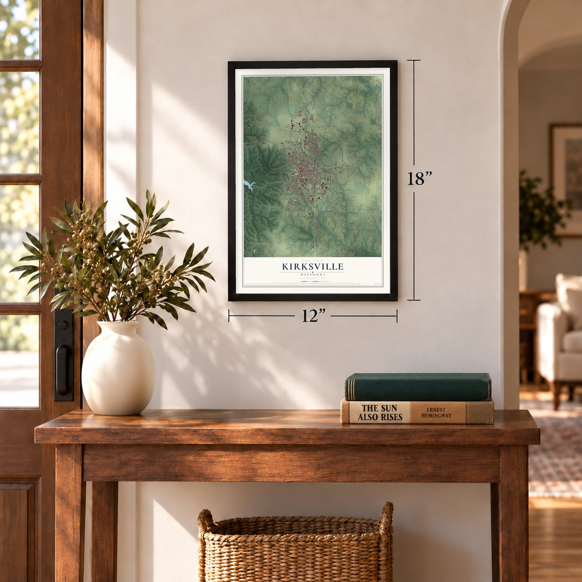
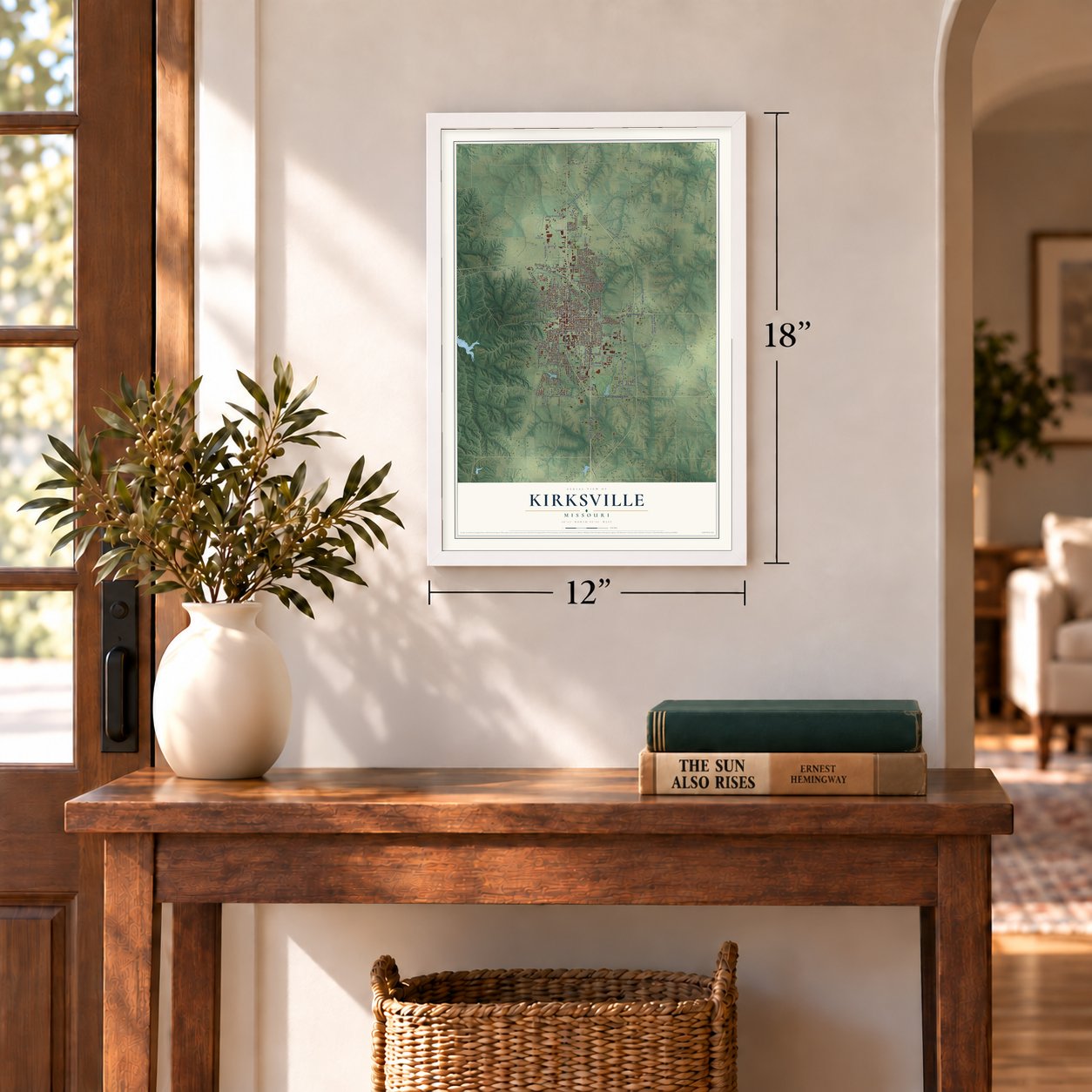
Unframed archival matte, a black wood frame or a white wood frame.
Up close
Geography Worth Displaying
This map was created using accurate cartographic data and authoritative geographic sources, including the U.S. Geological Survey and the Census Bureau. The map brings together terrain, waterways, roads, and building detail. The majority of the streets are labeled, houses are accurately depicted, and the topography is derived from government sources. Combining local data with carefully composed color and shading leads to this beautifully detailed Kirksville artwork for your wall.
Rather than simply showing street outlines, we’ve included as many of the street names as we could reasonably fit on the map while keeping their names legible. Zoom in on the high resolution preview to see exactly what’s on the map. We truly set out to create a statement piece for anyone who loves Kirksville. So whether it’s for you, or a gift for someone you love, we hope this map of Kirksville brings back fond memories.
Read the story behind this map of Kirksville, Missouri from 2026.
Find your street
Names on the Kirksville map
Every name below is printed on this map. Look for your street, your school, the park where you played, or the pond down the road.
Places and landmarks2
- Kirksville City Hall
- North Park
Streets and roads143
- Ste Highway 6
- East Illinois Street
- South Baltimore Street
- North Baltimore Street
- South Franklin Street
- North Green Street
- East Shepherd Avenue
- Old Highway 6
- North Elson Street
- Fairview Drive
- Jamison Street
- East Patterson Street
- East McPherson Street
- South Jamison Street
- Patterson Street
- North Lincoln Street
- West Potter Avenue
- West Brewington Avenue
- South First Street
- South Cottage Grove Avenue
- West Laharpe Street
- West Burton Street
- Suburban Drive
- North High Street
- South Halliburton Street
- Laharpe Street
- La Harpe Street
- North New Street
- North Osteopathy
- Industrial Road
Show all 143 streets
- East Normal Street
- Spencer Lane
- South Boundary Street
- East Washington Street
- South Lewis Street
- North Walnut Street
- West Missouri Street
- East Northtown Road
- West Gardner Street
- East Pierce Street
- South Florence Street
- Round Barn Way
- South Osteopathy
- Steer Creek Way
- South High Street
- East Hamilton Street
- East Street
- College Park Drive
- West Northtown Road
- East Dear Street
- North Centennial Street
- Benton Way
- South Bradford Street
- East Meadow Lane
- South Davis Street
- Shepherd Avenue
- South Fible Street
- Emmett Street
- Cable Street
- West Normal Street
- West Scott Street
- Janeway
- Cherry Lane
- East Mill Street
- Queens Road
- Brook Drive
- Timber Lane
- Gasperi Street
- Grim Place
- Alma Drive
- North Hollis Way
- South Hollis Way
- North Florence Street
- North Cottage Grove Avenue
- East Laharpe Street
- North Franklin Street
- North East Street
- East Scott Street
- North Luther Street
- North Main Street
- Kings Road
- West Hildreth Street
- North Boundary Street
- West Smith Street
- Country Club Drive
- Novinger Street
- West Shelby Street
- Leisure Drive
- North Don Street
- East Burton Street
- Eastgate Drive
- Park Plaza
- Beverly Lane
- Augusta
- Charles Street
- South Lincoln Street
- Rye Creek Road
- South Wabash Street
- Dogwood Drive
- Dwight Way
- Marco Drive
- Pine Brook Drive
- Queen Road
- Pfeiffer Avenue
- Oxford Drive
- Pawn Drive
- Pintail Drive
- Garrett Drive
- Center Road
- Patterson Way
- East Harrison Street
- East Jefferson Street
- West Michigan Street
- East Cottonwood Street
- Overbrook Drive
- South Baird Street
- Outer Road
- Saint Andrews
- Somerset Drive
- West Link Street
- Rosewood Drive
- South Adams Drive
- Crown Drive
- Knights Drive
- Stadium Drive
- Lakeside Manor Drive
- Cottage Lane Avenue
- Ash Lane
- Woodwind Court
- North Bradford Street
- West Shepherd Avenue
- South Elson Street
- Grim Drive
- West Mill Street
- South Cottage Grove Place
- Dawnview Drive
- Weatherstone Drive
- York Street
- Shannon Lane
- Quail Drive
- Sunset Cv
- West Locust Street
- Hope Street
Names are listed as they appear on the printed map. Zoom into the product photos to find them.
About Kirksville, Missouri
Kirksville is a city of 17,530 people and the county seat of Adair County. Before it had a plat, the spot went by Long Point and then Hopkinsville. The second name was a joke about the odd walk of David Sloan, the lame father-in-law of John Kirk. People dropped it when the village was picked as the county's seat of justice. The town was laid out on 40 acres in 1841 and first incorporated in 1857.
The Civil War reached the town from August 6 to 9, 1862. Union troops under John McNeil drove Confederate volunteers led by Joseph Porter out of Kirksville. Estimates of Confederate losses run from 150 to 200 killed, with as many as 400 wounded, while the Quincy Herald reported 8 Federal dead and 25 wounded. After the fighting, McNeil executed several prisoners who had been paroled earlier on a promise not to fight again. The act made him briefly famous across the country, and Jefferson Davis is said to have called for McNeil's execution if he were caught.
- Turkey, whiskey and a nameJesse Kirk, the first postmaster, also opened the town's first hotel and tavern. Tradition says he fed surveyors working nearby a dinner of turkey and whiskey in exchange for naming the town for him. His grandson told it differently: the name honored Kirk's son John, a local legend said to have downed two deer with one shot. It has nothing to do with John Kirk, Truman State's president from 1899 to 1925.
- The tornado of 1899An F4 tornado swept across Adair County late on April 27, 1899. Its path ran three blocks wide, and it leveled hundreds of buildings and left 34 people dead. The song "Just as the Storm Passed O'er" was written about the disaster. One Kimball piano was carried a long way by the wind and still played, and the Kimball Piano Company used that in its ads.
- A town with three collegesTruman State University opened as North Missouri Normal School and Commercial College; it later took the name Northeast Missouri State University. A.T. Still University is home to the Kirksville College of Osteopathic Medicine, the first school of osteopathic medicine. Moberly Area Community College also runs a Kirksville campus.
- The last rails, 1997The Wabash Railroad's north-south line through Kirksville joined the Norfolk and Western in October 1964 and Norfolk Southern in 1982. Its last official train ran in April 1992 before a planned abandonment, but the Midwest floods of 1993 brought trains back until 1995. Buyers failed to save the line, and in late September 1997 crews pulled up its Kirksville tracks, leaving the city with no railroad at all.
Keep exploring Missouri
Kirksville is one of 1,207 Missouri towns we've mapped. Every dot on the map is a print of its own.
The search covers every state, Missouri first.
Near Kirksville
Order 2 or more town maps and save 10%. Shown in the size and finish you picked above, so they hang as a set.
- Millard 12" x 18" / Archival Matte Print $39.99
- Novinger 12" x 18" / Archival Matte Print $39.99
- Connelsville 12" x 18" / Archival Matte Print $39.99
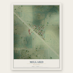
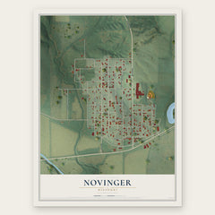
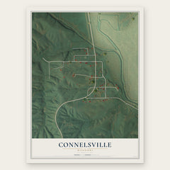
More maps nearby: Greentop, Gibbs, Brashear, La Plata and South Gifford.
The art of mapping a place
How This Map Was Made
Real places. Remarkable detail. Discover the layers that turn geographic data into a map of home.

The view from above
Aerial imagery reveals the character of the land: woodland, open fields, and the patterns of a place.

The shape of the land
Elevation data brings hills, valleys, and subtle changes in the landscape into view.

The details of home
Roads, waterways, and building footprints come together to make the map feel unmistakably local.

Geography becomes art
Considered color, shading, and typography bring the layers together in a map made for your wall.


Process illustrated with Mendon, Massachusetts. Aerial imagery: USDA NAIP. Terrain: USGS 3D Elevation Program. Map details and finished artwork: KNOWOL.
The Details
About This Print
Choose an archival matte print, or a black or white Ayous wood frame. The archival matte print is unframed.
Select your size and finish above to see the matching product image and price.
Materials & Craftsmanship
A contemporary map with the character of a classic atlas, printed on archival matte paper. Optional frames are made from Ayous wood.
Your printed map does not include the watermark shown in the full-map preview.
Shipping & Delivery
Free shipping within the United States. Every print is made to order in the USA.
Buying a gift? Add a note in your cart and we'll include it. We never put prices in the package.
Prints ship within 2 to 3 business days. Allow 7 to 10 days total from ordering for delivery. Timing may vary during holidays or periods of high order volume.
Read our shipping policy.
Returns and damaged prints
Each print is made to order. Change-of-mind refunds are not available after production.
If your print arrives damaged, misprinted or incorrect, contact support@knowol.com within 30 days of receiving it. Include your order number, photos and a description of the issue.
Read our full refund and replacement policy. For questions about your order, email support@knowol.com.