
Search for another town
Free U.S. delivery 7 to 10 days after you order
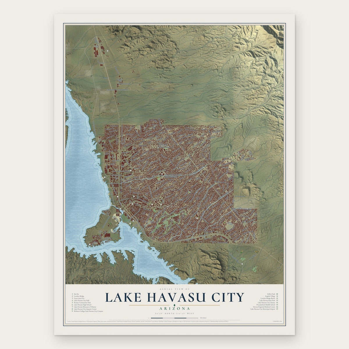
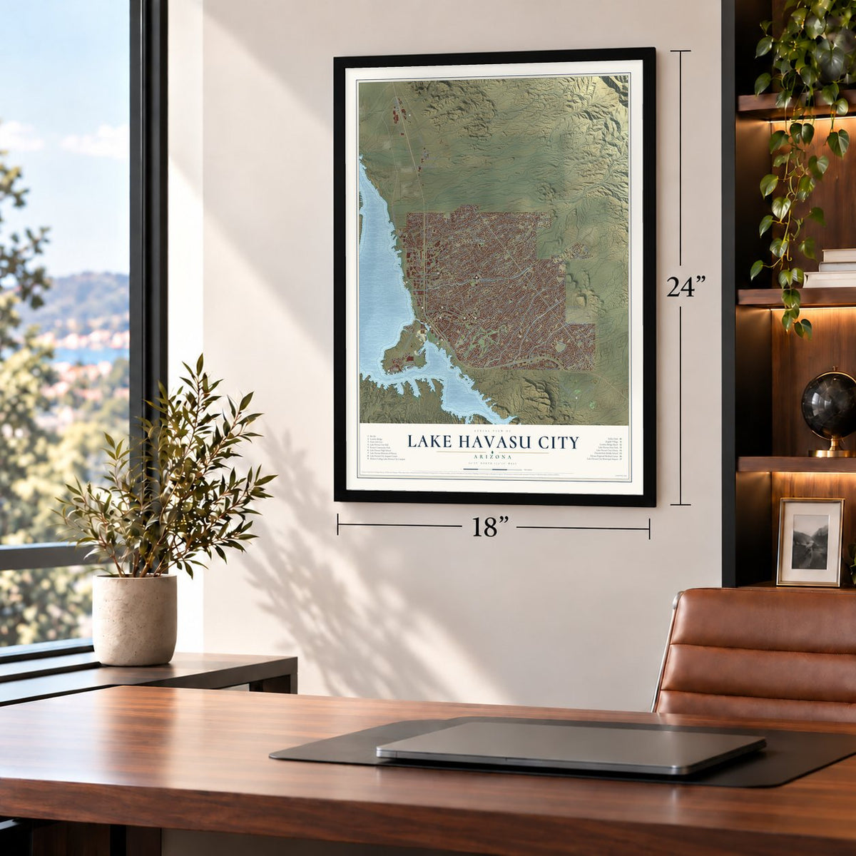
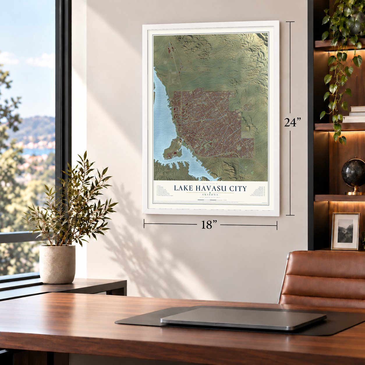
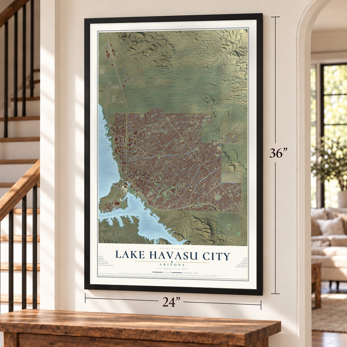
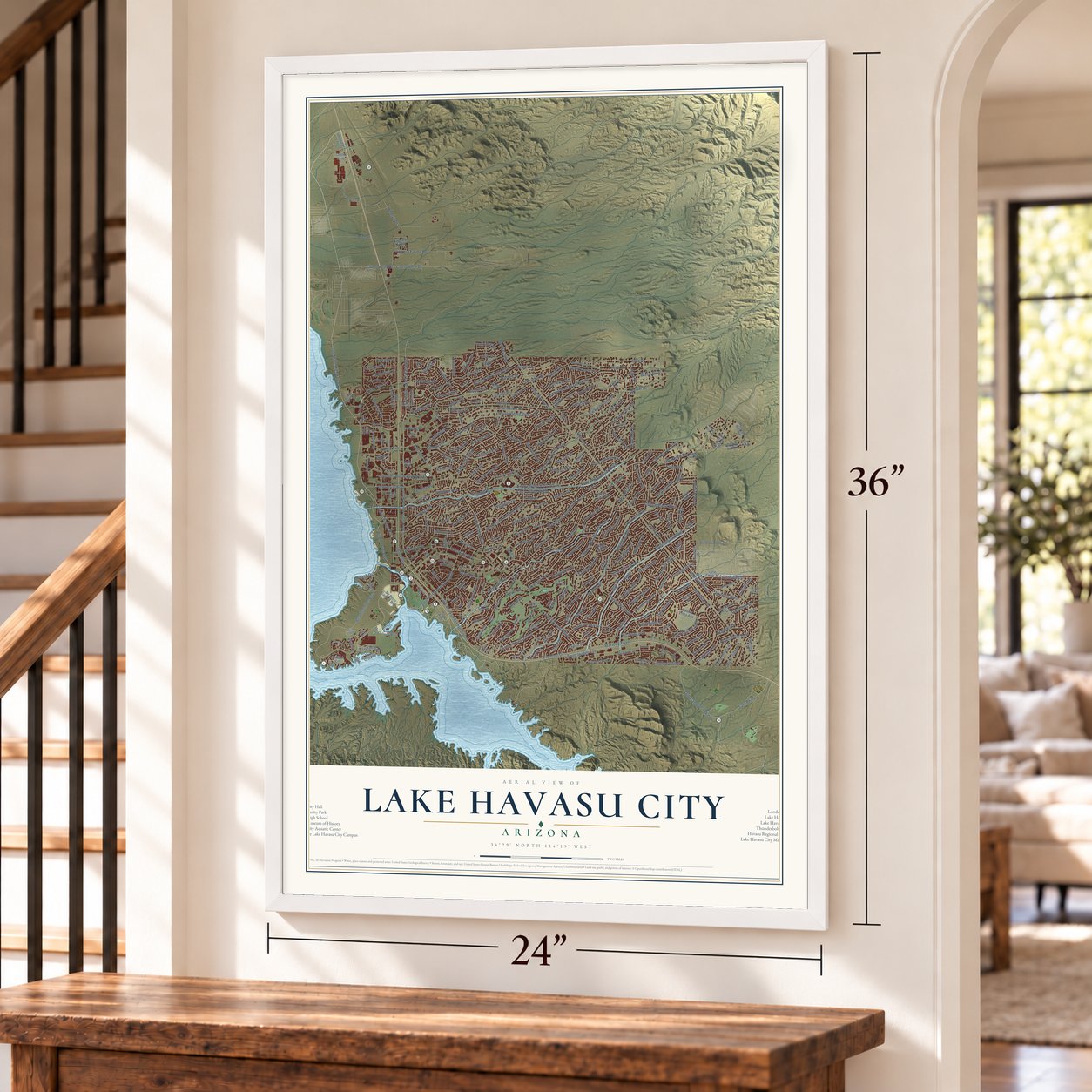
Lake Havasu City, Arizona Map Art
Building by building, with labeled streets and shaded relief.
12" x 18" Archival Matte Print
A Map of Home. A Work of Art.
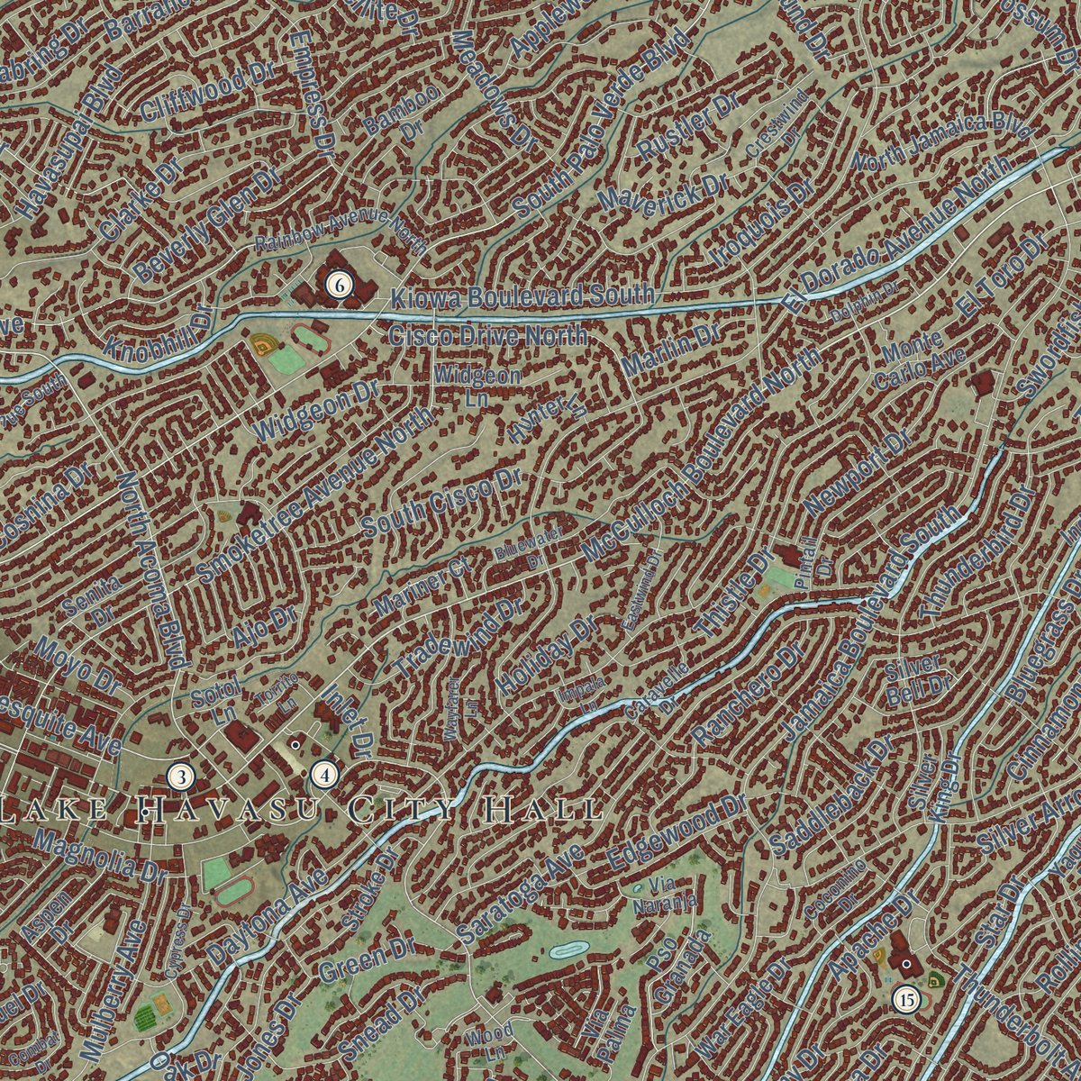
Explore Lake Havasu City, Arizona from a whole new perspective. Created using aerial imagery and detailed geographic data, this map captures Lake Havasu City building by building, with labeled streets, familiar landmarks, and shaded topographical relief that highlights the natural contours of the landscape.
Combining modern data with the timeless character of a vintage atlas, this map is just as interesting up close as it is beautiful on the wall. Whether you grew up in Lake Havasu City, spent memorable years there, or call it home today, this unique map is a great way to celebrate a place that means something to you. Zoom in on the preview to look for your street, and then order a print to put your memories on the wall.

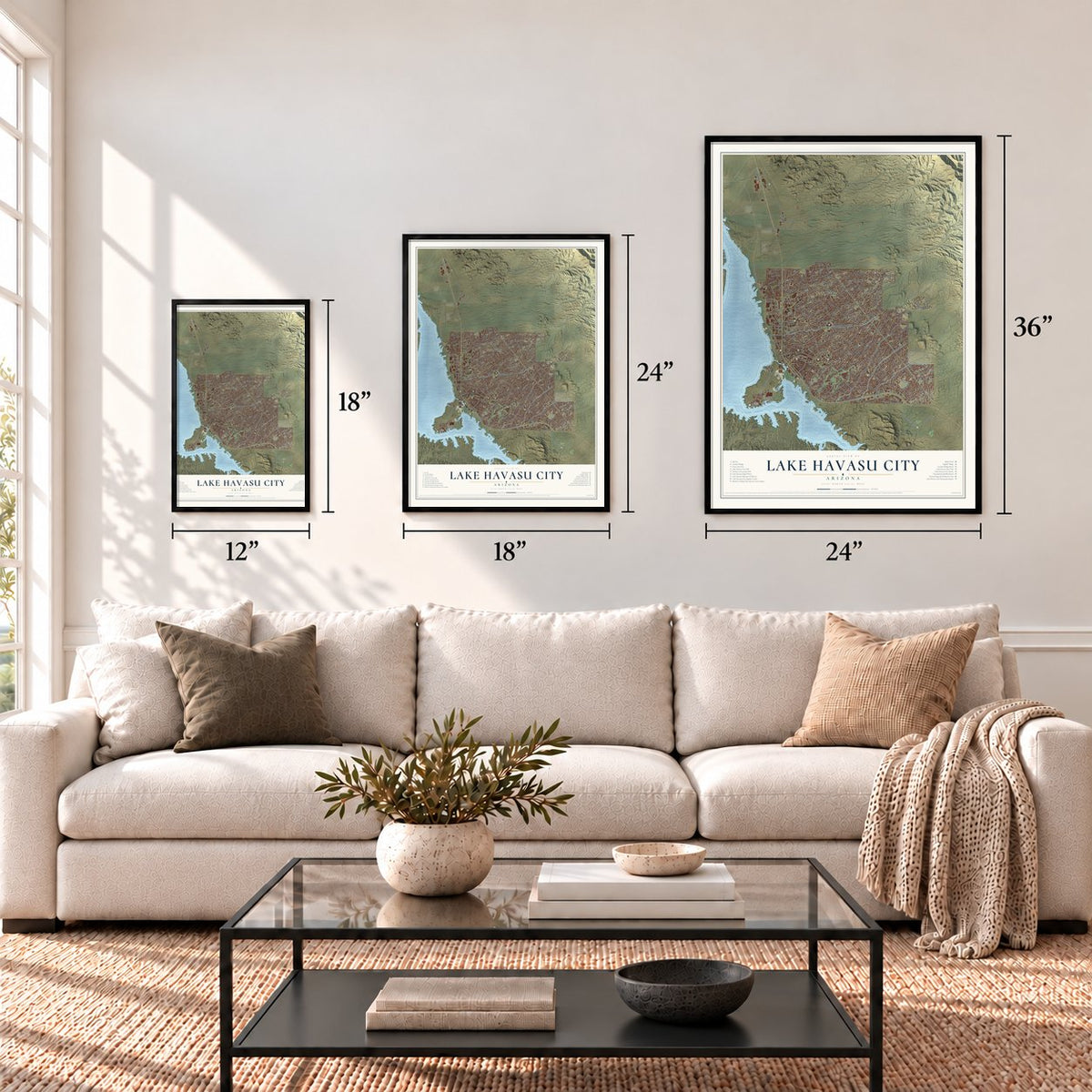
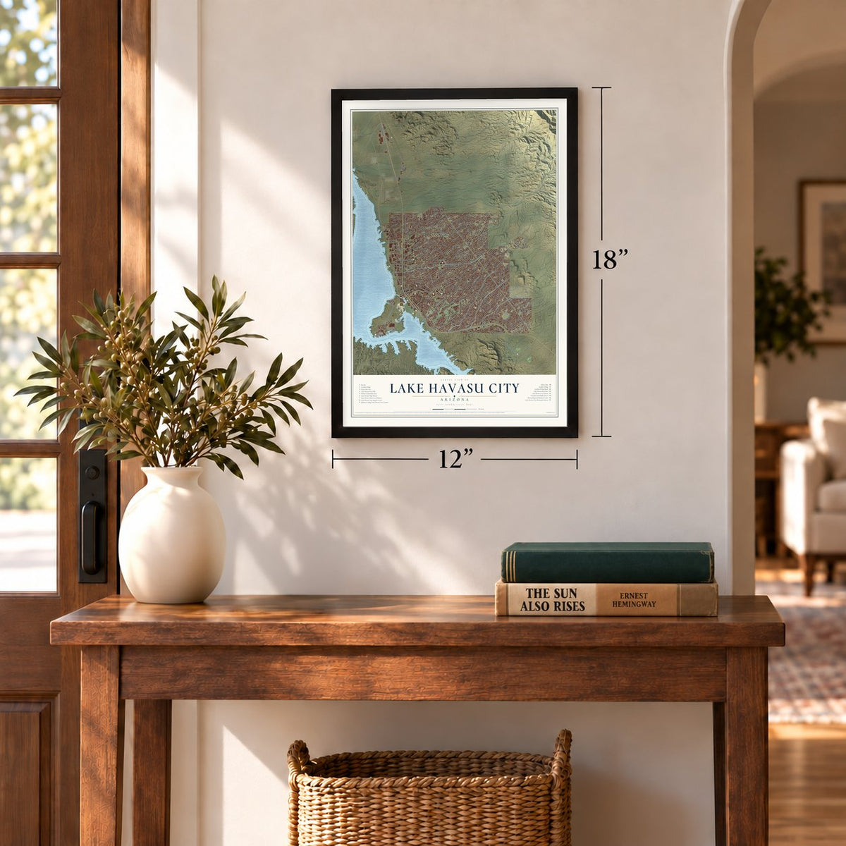
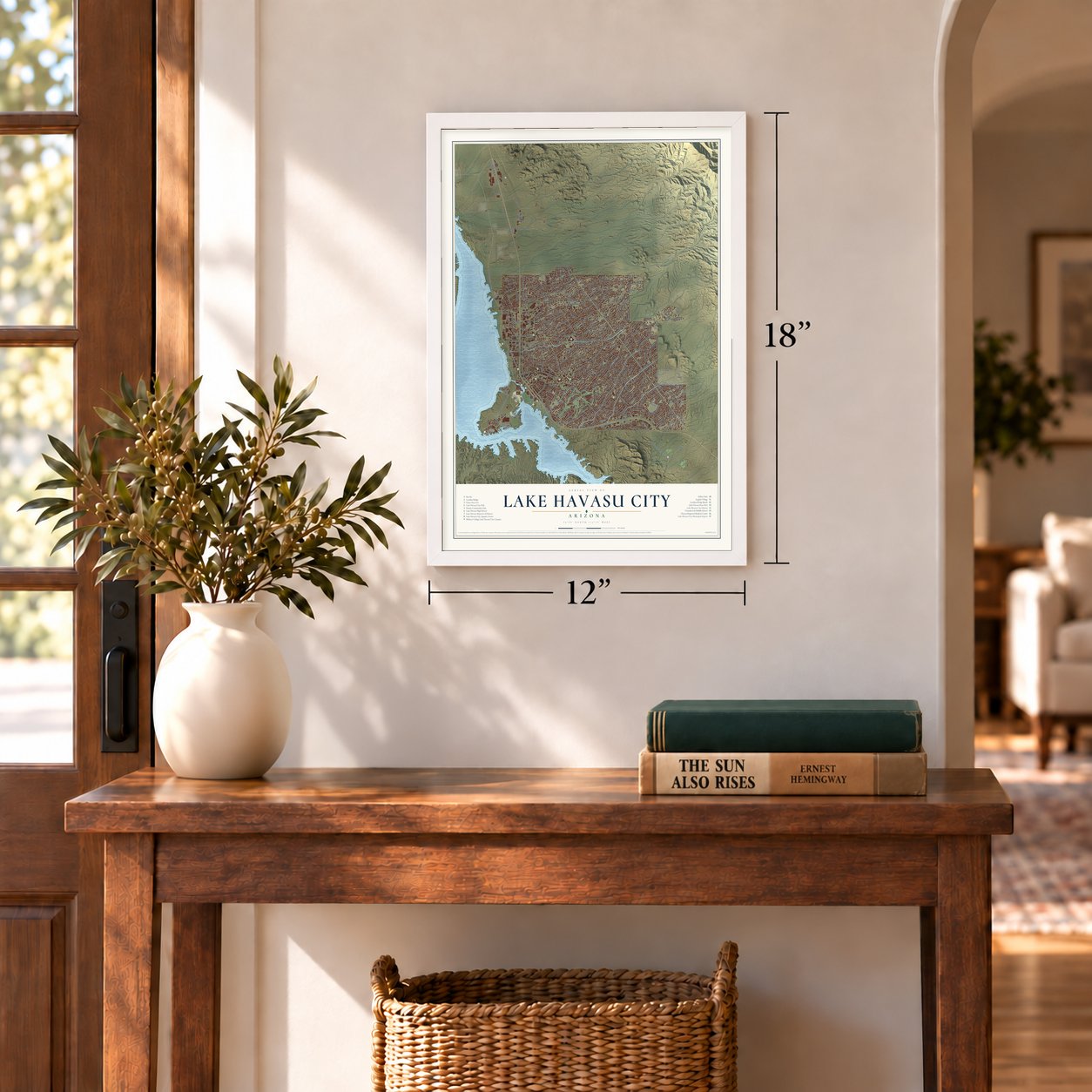
Three ways to hang it
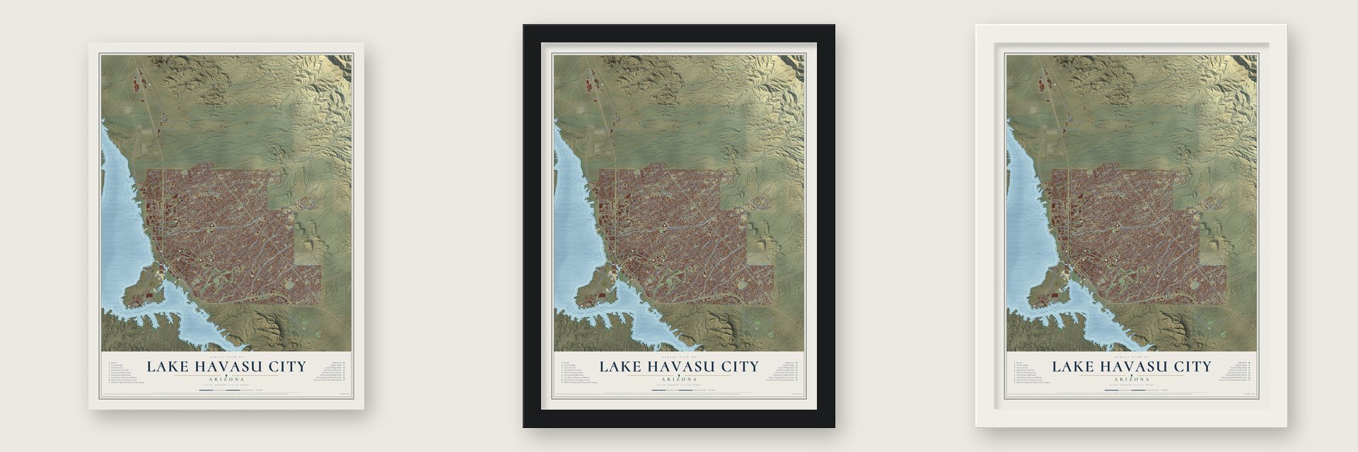
Unframed archival matte, a black wood frame or a white wood frame.
Up close
Geography Worth Displaying
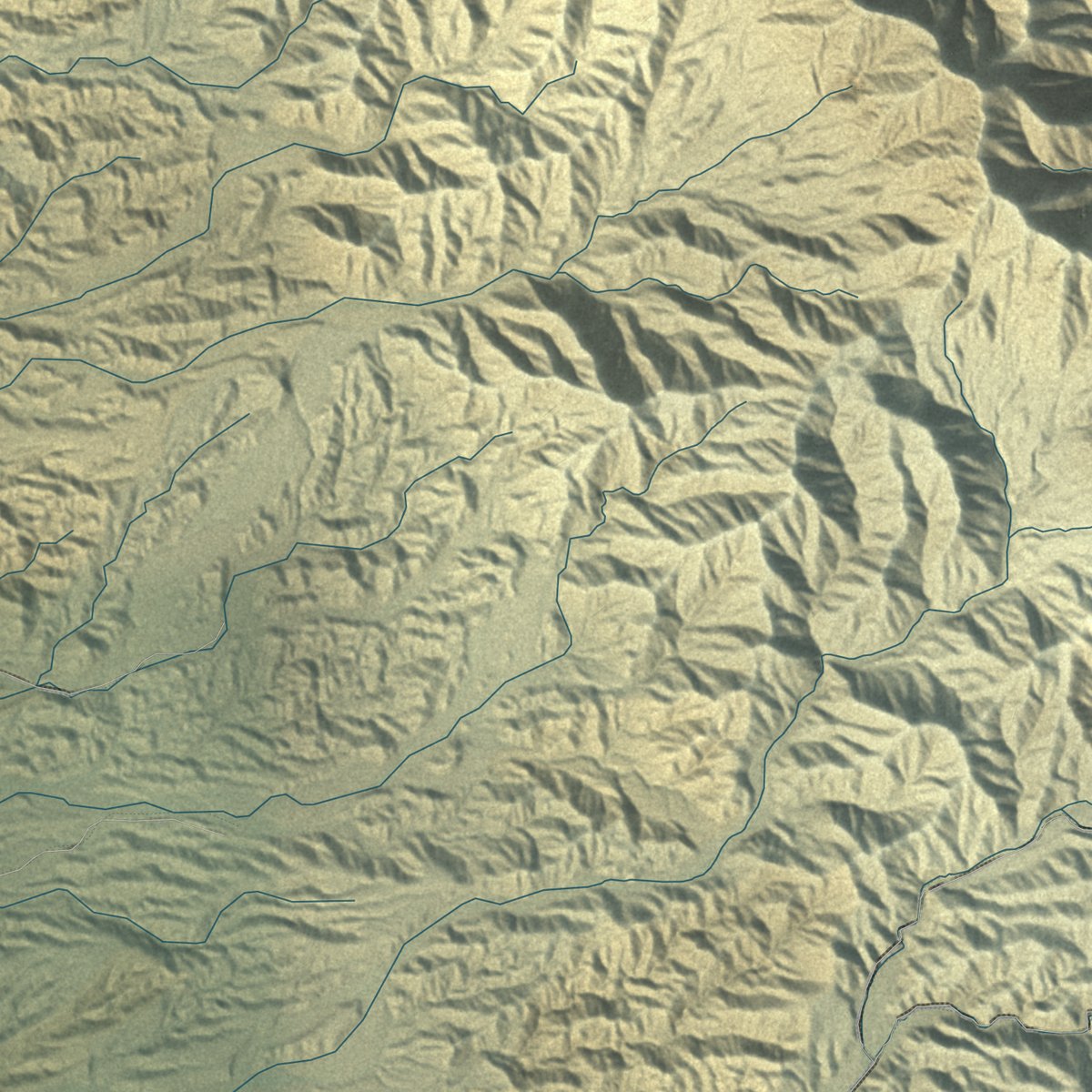
This map was created using accurate cartographic data and authoritative geographic sources, including the U.S. Geological Survey (USGS) and FEMA. The map brings together terrain, waterways, roads, and building detail. The majority of the streets are labeled, houses are accurately depicted, and the topography is derived from government sources. Combining local data with carefully composed color and shading leads to this beautifully detailed Lake Havasu City artwork for your wall.
Rather than simply showing street outlines, we’ve included as many of the street names as we could reasonably fit on the map while keeping their names legible. Zoom in on the high resolution preview to see exactly what’s on the map. We truly set out to create a statement piece for anyone who loves Lake Havasu City. So whether it’s for you, or a gift for someone you love, we hope this map of Lake Havasu City brings back fond memories.
Explore the full map of Lake Havasu City, Arizona and read about the local places it shows.
Find your street
Names on the Lake Havasu City map
Every name below is printed on this map. Look for your street, your school, the park where you played, or the pond down the road.
Places and landmarks1
- Lake Havasu City Hall
Streets and roads334
- McCulloch Boulevard North
- London Bridge Road
- Old State Highway 95
- Industrial Boulevard
- Lbsc Alley
- North Acoma Boulevard
- Mesquite Avenue
- South Jamaica Boulevard
- Lake Havasu Avenue South
- Whelan Drive
- South Acoma Boulevard
- South Palo Verde Boulevard
- Dub Campbell Parkway
- Acoma Boulevard West
- North Lake Havasu Avenue
- College Drive
- Malahini Drive
- North Palo Verde Boulevard
- Kiowa Boulevard North
- North Kiowa Boulevard
- Jamaica Boulevard South
- Beachcomber Boulevard
- Daytona Avenue
- Kiowa Boulevard South
- Saratoga Avenue
- Oro Grande Boulevard
- Mohican Drive
- Avalon Avenue
- Rainbow Avenue
- Chemehuevi Boulevard
Show all 334 streets
- Sweetwater Avenue
- Sara Parkway
- El Dorado Avenue North
- Bluegrass Drive
- Maricopa Avenue
- Pueblo Drive
- Smoketree Avenue North
- San Juan Drive
- Havasupai Boulevard
- Holly Drive
- Highlander Avenue
- Rolling Hills Drive
- Palisades Drive
- Chenoweth Drive
- Chenoweth Road
- Colt Drive
- Challenger Drive
- Saddleback Drive
- Osborn Drive
- Kearsage Drive
- Kiowa Avenue
- Amigo Drive
- Kicking Horse Drive
- Magnolia Drive
- Cherry Tree Boulevard
- Victoria Farms Road
- Thunderbolt Avenue
- Tomahawk Drive
- Mulberry Avenue
- Anita Avenue
- Barranca Drive
- Huntington Drive
- Vega Drive
- Palmer Drive
- Thistle Drive
- Southwind Avenue
- Star Drive
- Trotwood Drive
- Sombrero Drive
- Willow Avenue
- South Cisco Drive
- Chesapeake Boulevard
- Fremont Drive
- Iroquois Drive
- Maverick Drive
- Sloop Drive
- Simitan Drive
- Chip Drive
- Jones Drive
- Enduro Drive
- Smoketree Avenue South
- Cabana Drive
- Clarke Drive
- Snead Drive
- Fiesta Drive
- Desert View Drive
- Northstar Drive
- Aviation Drive
- Winston Drive
- Apache Drive
- Cosnina Drive
- Edgewood Drive
- Deer Run Drive
- Cisco Drive North
- Newport Drive
- Sandwood Drive
- Hagen Drive
- Mimosa Drive
- Bahama Avenue
- Arizona Boulevard
- Ranchero Drive
- El Toro Drive
- Coral Reef Drive
- Swordfish Drive
- Tonto Drive
- Widgeon Drive
- Hiawatha Drive
- Sponson Drive
- Bison Boulevard
- Empress Drive
- Crater Drive
- Aloha Drive
- Outpost Drive
- Beverly Glen Drive
- Tarpon Drive
- Papago Drive
- Meadows Drive
- Pony Drive
- Alibi Drive
- Viejo Drive
- Sheik Drive
- Atlantic Drive
- Candlewood Drive
- Tradewind Drive
- Sweetgrass Drive
- Kirk Drive
- Yazoo Drive
- Coral Drive
- Applewood Drive
- Cliffwood Drive
- Bombay Drive
- Cinnamon Drive
- Lost Dutchman Drive
- Canyon Cove Drive
- Thunderbird Drive
- Hillview Drive
- Green Drive
- Gold Dust Drive
- Tamarack Drive
- Felicidad Drive
- Oppossum Drive
- Angler Drive
- Moyo Drive
- Silver Arrow Drive
- Palmtree Drive
- Bentley Boulevard
- Rustler Drive
- Knobhill Drive
- Offshore Drive
- Paso Drive
- Cayman Bay
- Poppy Trail Drive
- Aqua Drive
- Yuma Drive
- Big Chief Drive
- Blackhill Drive
- Garvey Drive
- Duke Drive
- Seabring Drive
- Douglas Drive
- Ravello Drive
- Oakridge Drive
- Holiday Drive
- Hound Drive
- Brave Drive
- Satellite Drive
- Ajo Drive
- Beach Drive
- Sahara Drive
- Mandalay Drive
- Marlin Drive
- Casper Drive
- Arroyo Drive
- Lodestar Drive
- Colville Drive
- Port Drive
- Bryce Drive
- Russell Drive
- Solar Drive
- Oak Drive
- Inlet Drive
- McCulloch Boulevard South
- Windsor Beach Road
- Keel Drive
- Lake Havasu Avenue North
- Martinique Drive
- Swanson Avenue
- Holly Avenue
- Circula de Hacienda
- Park Terrace Avenue
- North Tarpon Drive
- Inverness Drive
- Shoshone Drive
- Yucca Drive
- Sir Peter Gadsen Boulevard
- War Eagle Drive
- North Jamaica Boulevard
- Bamboo Drive
- Indian Peak Drive
- Hogan Lane
- Kibbey Drive
- Diablo Drive
- Saguaro Loop
- Inca Drive
- Hillside Drive
- Demaret Drive
- Runabout Drive
- Silver Clipper Lane
- Yonder Drive
- Buena Vista Avenue
- Senita Drive
- Lakeside Drive
- Thunderhead Drive
- Flying Cloud Lane
- Stroke Drive
- Desert Garden Drive
- Window Rock Road
- Pso Granada
- Malibu Drive
- Monte Carlo Avenue
- Topaz Drive
- Cumberland Drive
- Showplace Avenue
- Mc Culloch Boulevard
- Bufford Circle
- Blackhawk Drive
- Bonanza Drive
- Peruvian Drive
- Empire Drive
- Aviendo del Sol
- Janet Drive
- Via Palma
- Widgeon Lane
- Totem Drive
- Longview Drive
- Pacific Drive
- Riviera Drive
- Tropic Boulevard
- Avienda del Sol
- Whaler Drive
- Duel Drive
- Mariner Court
- Aspen Drive
- Buoy Drive
- Osage Drive
- Silver Bell Drive
- Park Avenue
- Hunter Lane
- Silver King Drive
- Biscayne Lane
- Cardinal Drive
- Corona Drive
- Yaqui Drive
- Piper Drive
- Gemini Drive
- Saint Croix Drive
- Price Drive
- Centre Loop
- Avalon Place
- Oahu Drive
- Sotol Lane
- Pena Lane
- Erin Way
- Rainbow Avenue North
- Little Finger Road
- Arabian Drive
- Caravelle Drive
- Rainbow Avenue South
- Pintail Drive
- Wallapai Drive
- Tom Tom Drive
- Capri Lane
- Desert Rose Drive
- Carlsbad Drive
- Kiva Trail
- Walnut Drive
- Crestwind Drive
- Talley Drive
- Hacienda Drive
- Desert Sage Drive
- Saguaro Drive
- Wood Lane
- Nautilus Drive
- Cataract Drive
- Truckee Drive
- Coconino Drive
- Black Hill Place
- Anacapa Drive
- Harrah Way
- Via Naranja
- Foothill Drive
- Boulder Drive
- Casper Lane
- Kimo Circle
- Key Drive
- Cala Rosa
- Lobo Drive
- Sailing Hawks Drive
- Hagen Way
- Arapaho Drive
- Cypress Drive
- Glengarry Drive
- Bluewater Drive
- Dolphin Drive
- Retail Centre Boulevard
- Texoma Drive
- Burgundy Drive
- Avienda Tierra Vis
- Grand Island Drive
- Combat Drive
- Clearwater Drive
- Eastwind Drive
- Chandler Drive
- Porpoise Drive
- Catalina Drive
- Albacore Drive
- Centers Avenue
- Arcadia Drive
- Wayfarer Lane
- Little Drive
- Llanos Drive
- Capri Boulevard
- Desert Drive
- Bimini Lane
- Fisherman Drive
- Torrito Lane
- Brodie Drive
- Impala Lane
- Summit Lane
- Bella Vista Drive
- Corte Cabrillo
- Sunrise Drive
- Dion Drive
- Freer Court
Names are listed as they appear on the printed map. Zoom into the product photos to find them.
About Lake Havasu City, Arizona
Lake Havasu City is a city of 57,144 people in Mohave County, set along the eastern side of Lake Havasu. During World War II the Army Air Corps kept a rest camp called Site Six on its shore. In 1958 the chainsaw maker Robert P. McCulloch, searching for a place to test outboard motors, bought 3,353 acres along Pittsburgh Point, which was then a peninsula.
After four more years of planning, McCulloch Properties picked up another 13,000 acres of federal land. On September 30, 1963, the Mohave County Board of Supervisors made the new town a legal entity, the Lake Havasu Irrigation and Drainage District. McCulloch hired C. V. Wood, the designer of Disneyland, to lay out the roads. To sell lots in such a hot, remote place, his company flew buyers in for free, and by 1970 it ran its own airline. It made 2,702 flights from 1964 through 1978, the year the city incorporated.
- London Bridge comes to ArizonaSales lagged until McCulloch's agent, Robert Plumer, learned London Bridge could be bought and persuaded him to pay $2.5 million for it in 1968. John Rennie's last project, it had spanned the Thames since 1831. Its numbered granite facing stones went through the Panama Canal to Long Beach, then overland to the lake. Sundt Construction took three years and $7 million to face a new concrete bridge with them, opening it October 5, 1971.
- A bridge built on dry landLondon's Lord Mayor, Sir Gilbert Inglefield, came to the desert on September 23, 1968, to relay the bridge's foundation stone. The bridge went up over dry ground linking the city to Pittsburgh Point. Only afterward did crews dredge the Bridgewater Channel beneath it, turning the old peninsula into an island. Today traffic crosses the bridge over that channel, which joins Thompson Bay to the lake's northern reaches.
- Rent paid in a KachinaMcCulloch gave the City of London an acre of land in Lake Havasu City. When the city later wanted that acre for a visitors' center, London leased it back, asking a Hopi Kachina figure as its quit rent.
- 128 degrees in 1994On June 29, 1994, Lake Havasu City reached 128 °F, the highest temperature ever recorded in Arizona.
- Winterfest on McCulloch BoulevardRetirees from colder states and Canada spend the winter here. Most years, on the second weekend of February, the street named for the city's founder holds Winterfest, two days of food, entertainment and more than 200 vendors from across the country.
Keep exploring Arizona
Lake Havasu City is one of 528 Arizona towns we've mapped. Every dot on the map is a print of its own.
The search covers every state, Arizona first.
Near Lake Havasu City
Order 2 or more town maps and save 10%. Shown in the size and finish you picked above, so they hang as a set.
- Desert Hills 12" x 18" / Archival Matte Print $39.99
- Crystal Beach 12" x 18" / Archival Matte Print $39.99
- Topock 12" x 18" / Archival Matte Print $39.99
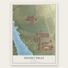

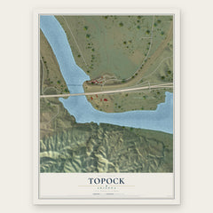
More maps nearby: Parker Strip, Cienega Springs, Golden Shores, Bluewater and Yucca.
The art of mapping a place
How This Map Was Made
Real places. Remarkable detail. Discover the layers that turn geographic data into a map of home.

The view from above
Aerial imagery reveals the character of the land: woodland, open fields, and the patterns of a place.

The shape of the land
Elevation data brings hills, valleys, and subtle changes in the landscape into view.

The details of home
Roads, waterways, and building footprints come together to make the map feel unmistakably local.

Geography becomes art
Considered color, shading, and typography bring the layers together in a map made for your wall.


Process illustrated with Mendon, Massachusetts. Aerial imagery: USDA NAIP. Terrain: USGS 3D Elevation Program. Map details and finished artwork: KNOWOL.
The Details
About This Print
Choose an archival matte print, or a black or white Ayous wood frame. The archival matte print is unframed.
Select your size and finish above to see the matching product image and price.
Materials & Craftsmanship
A contemporary map with the character of a classic atlas, printed on archival matte paper. Optional frames are made from Ayous wood.
Your printed map does not include the watermark shown in the full-map preview.
Shipping & Delivery
Free shipping within the United States. Every print is made to order in the USA.
Buying a gift? Add a note in your cart and we'll include it. We never put prices in the package.
Prints ship within 2 to 3 business days. Allow 7 to 10 days total from ordering for delivery. Timing may vary during holidays or periods of high order volume.
Read our shipping policy.
Returns and damaged prints
Each print is made to order. Change-of-mind refunds are not available after production.
If your print arrives damaged, misprinted or incorrect, contact support@knowol.com within 30 days of receiving it. Include your order number, photos and a description of the issue.
Read our full refund and replacement policy. For questions about your order, email support@knowol.com.