
Search for another town
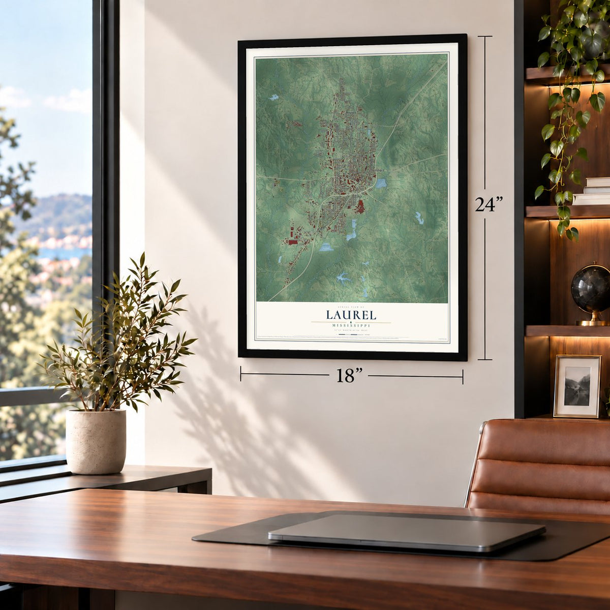
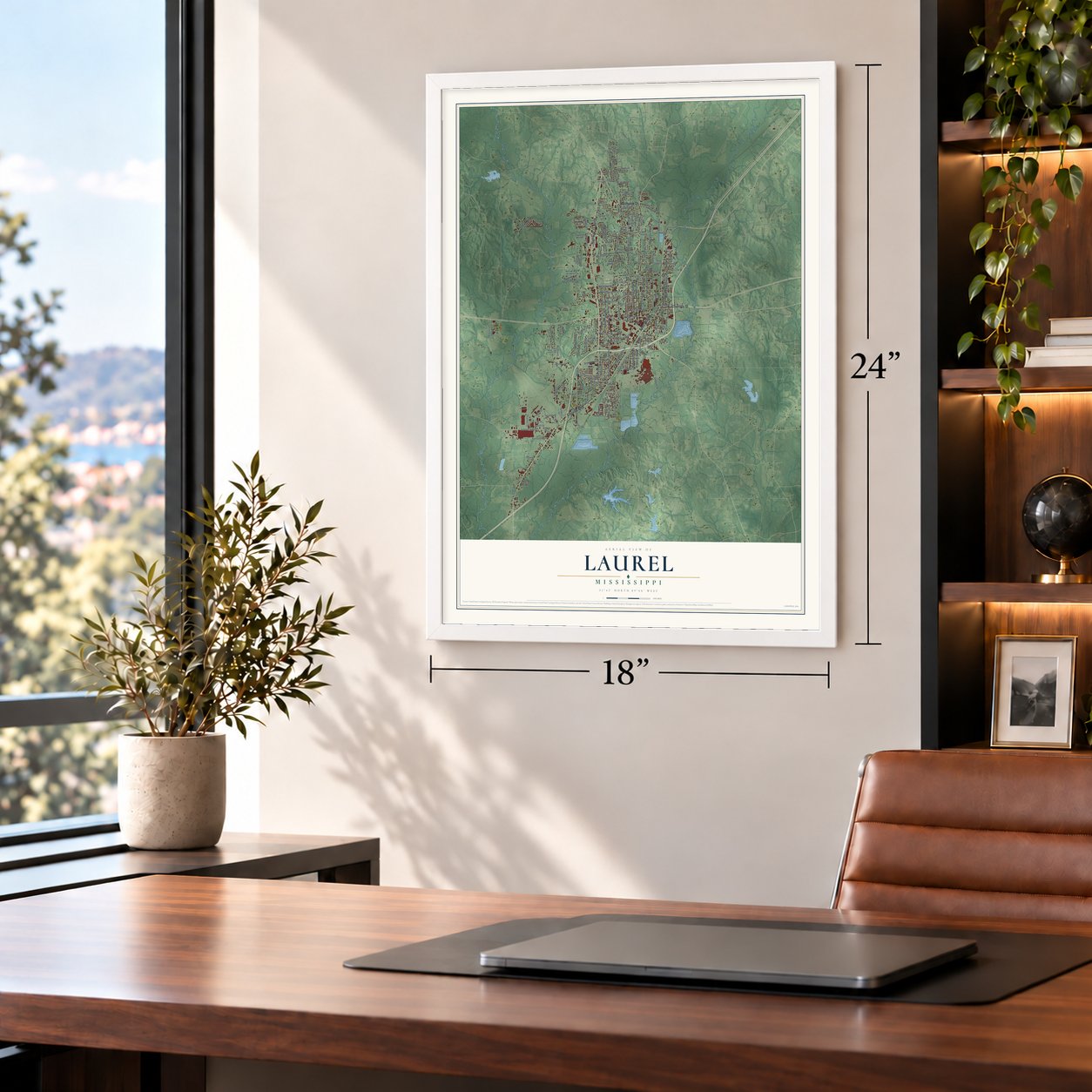
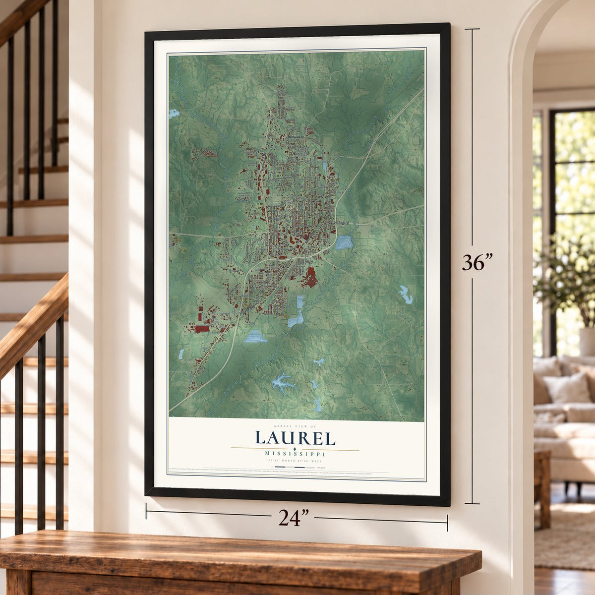
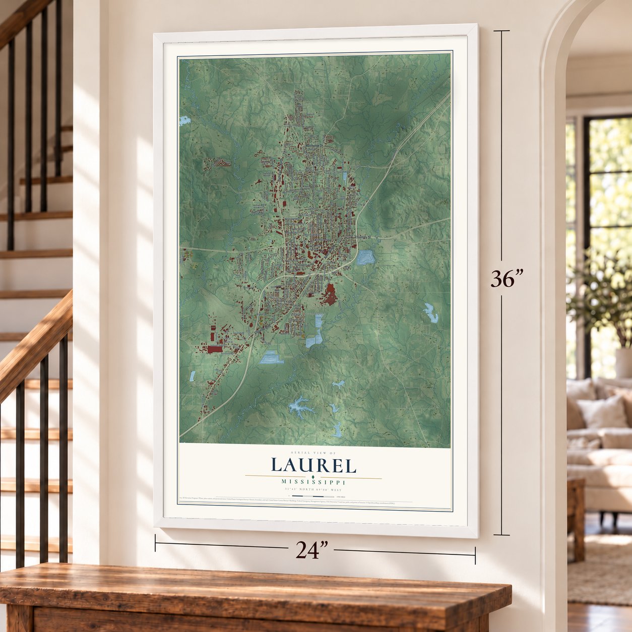
Free U.S. delivery 7 to 10 days after you order
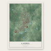
Laurel, Mississippi Map Art
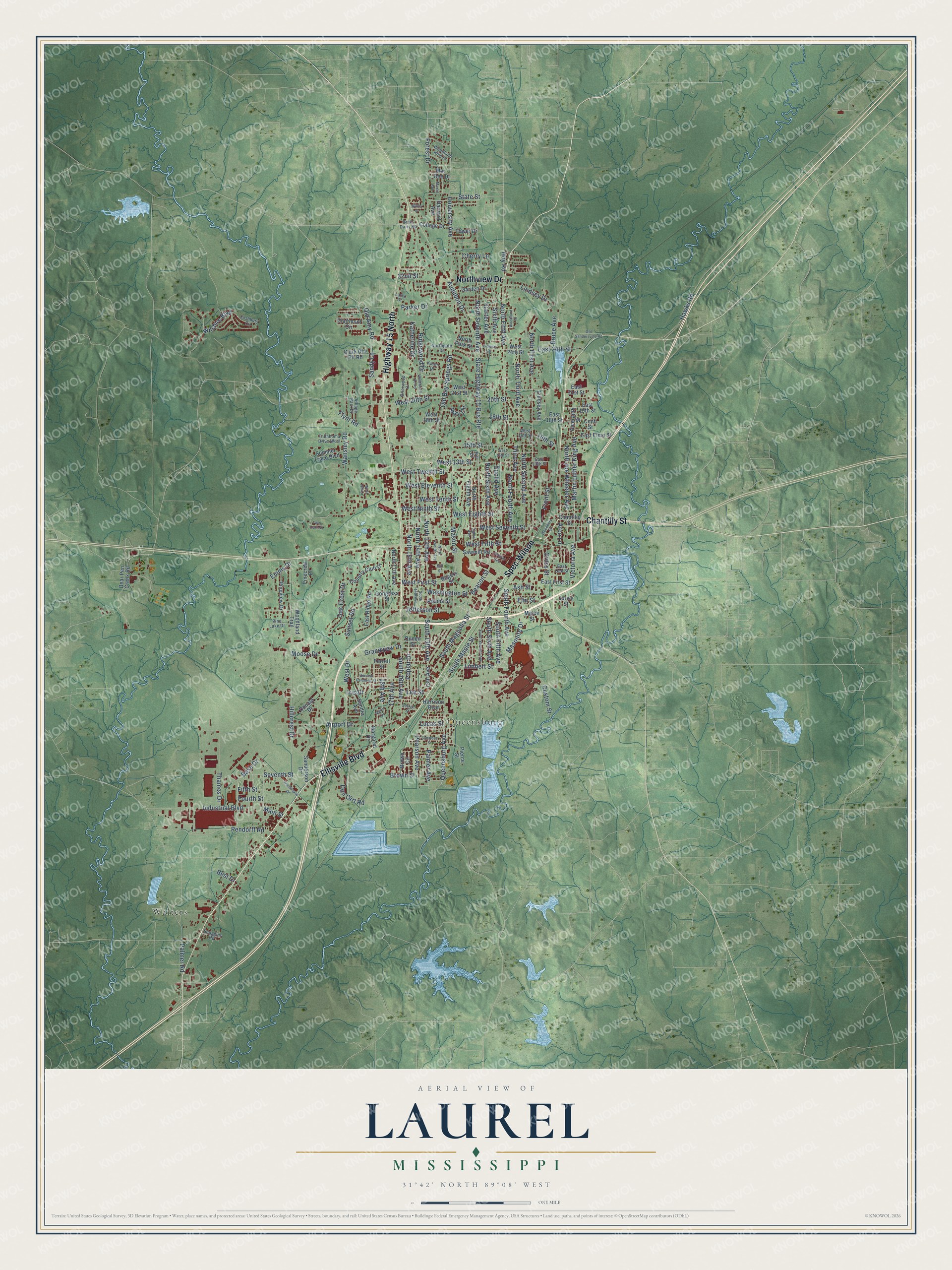
A new map of Laurel, Mississippi, made in 2026 and printed to order on thick archival matte paper.
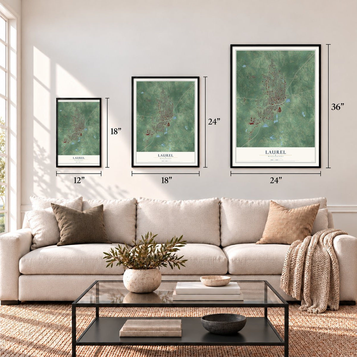
12" x 18" Archival Matte Print
A Map of Home. A Work of Art.
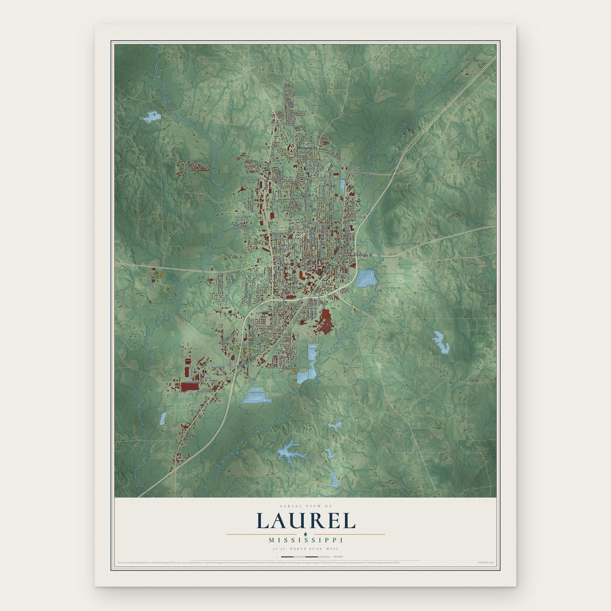
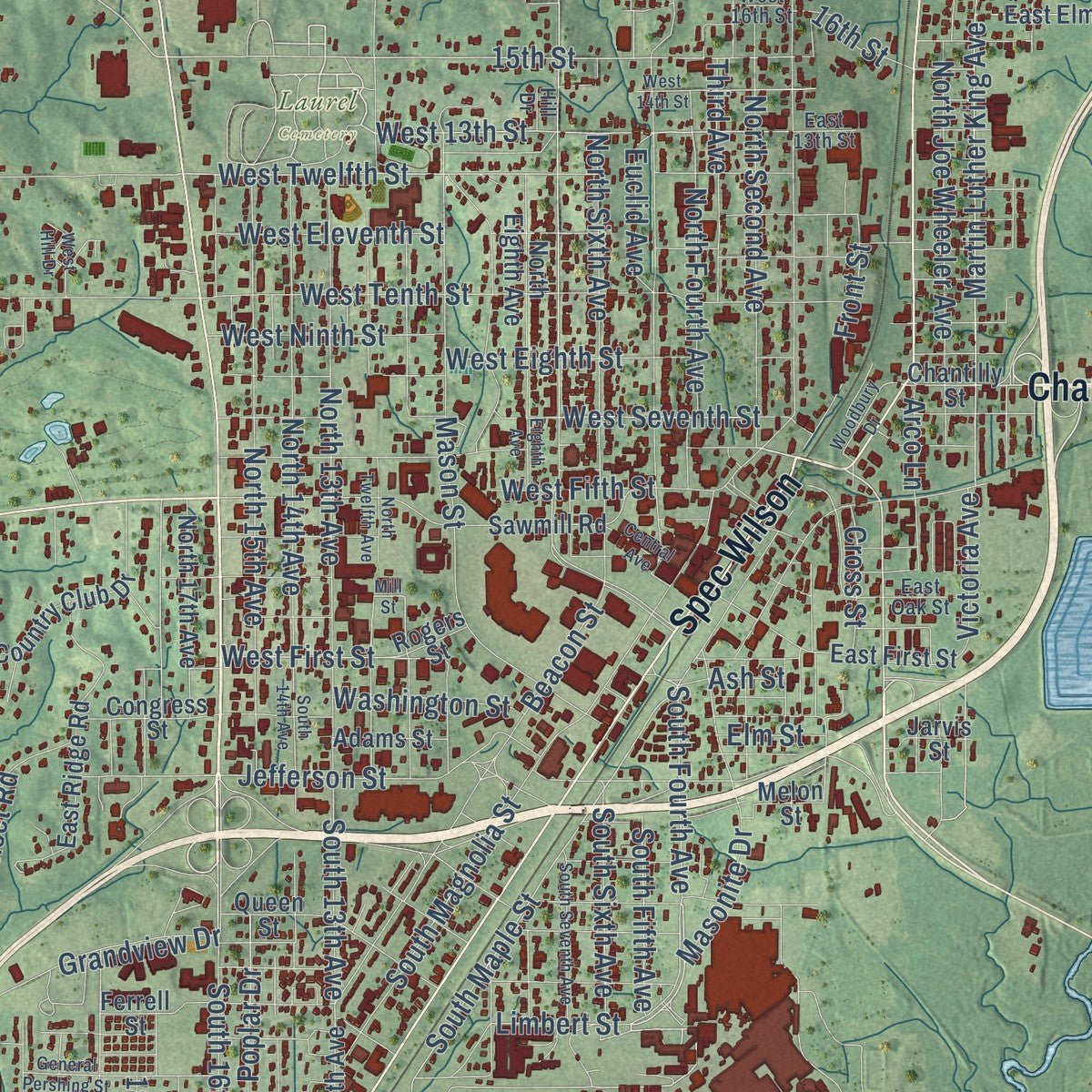
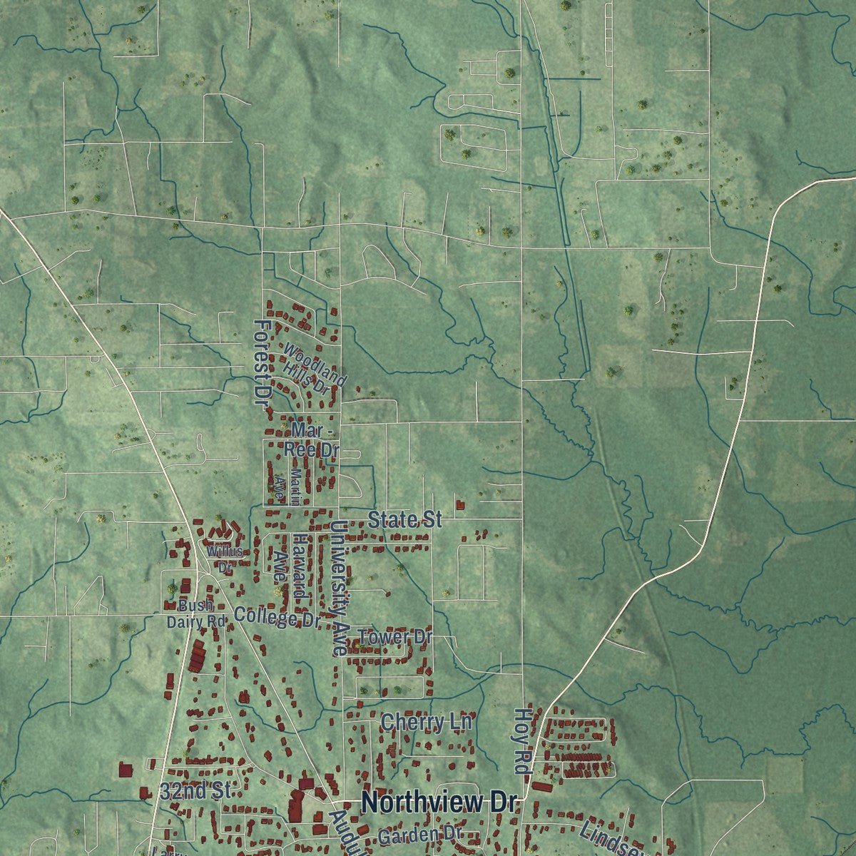
Explore Laurel, Mississippi from a whole new perspective. Created using aerial imagery and detailed geographic data, this map captures Laurel building by building, with labeled streets, familiar landmarks, and shaded topographical relief that highlights the natural contours of the landscape.
Combining modern data with the timeless character of a vintage atlas, this map is just as interesting up close as it is beautiful on the wall. Whether you grew up in Laurel, spent memorable years there, or call it home today, this unique map is a great way to celebrate a place that means something to you. Zoom in on the preview to look for your street, and then order a print to put your memories on the wall.
Three ways to hang it
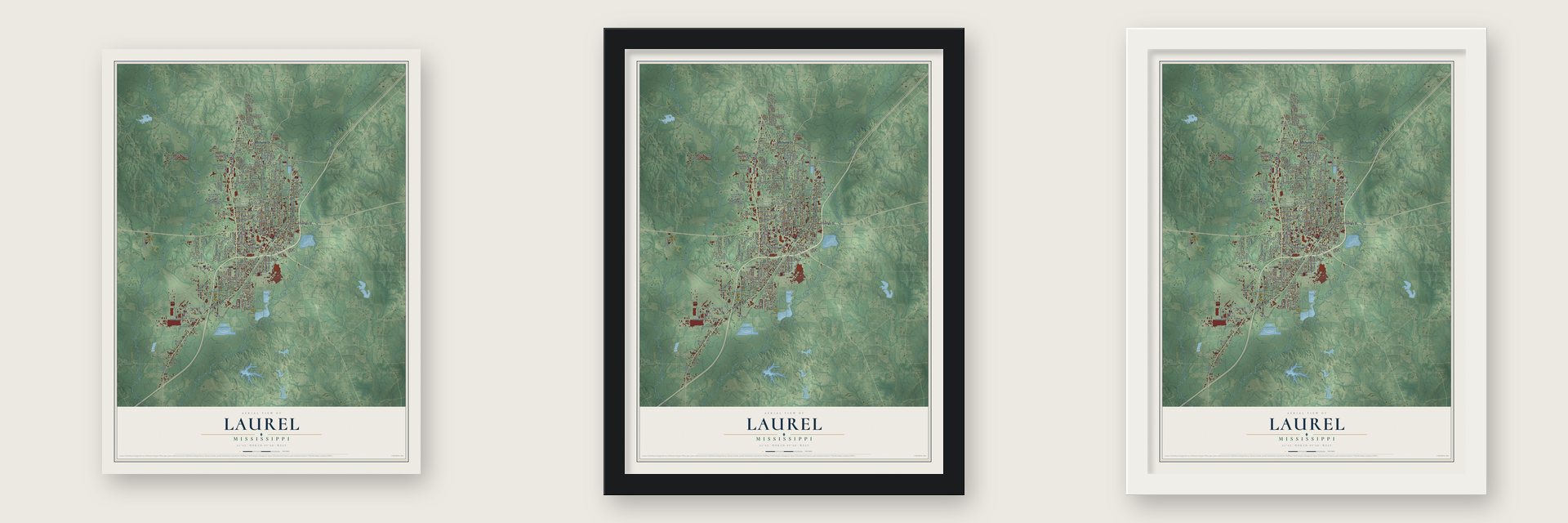
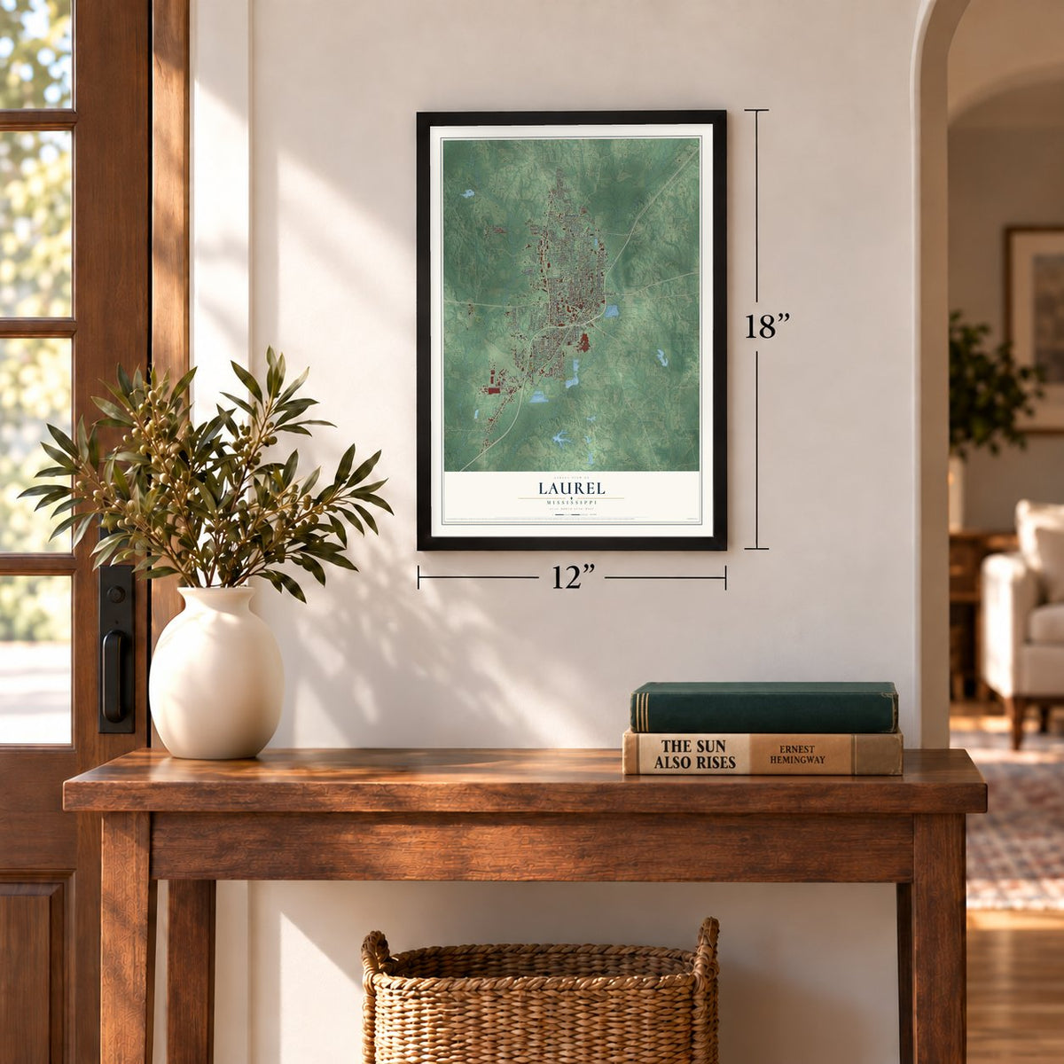
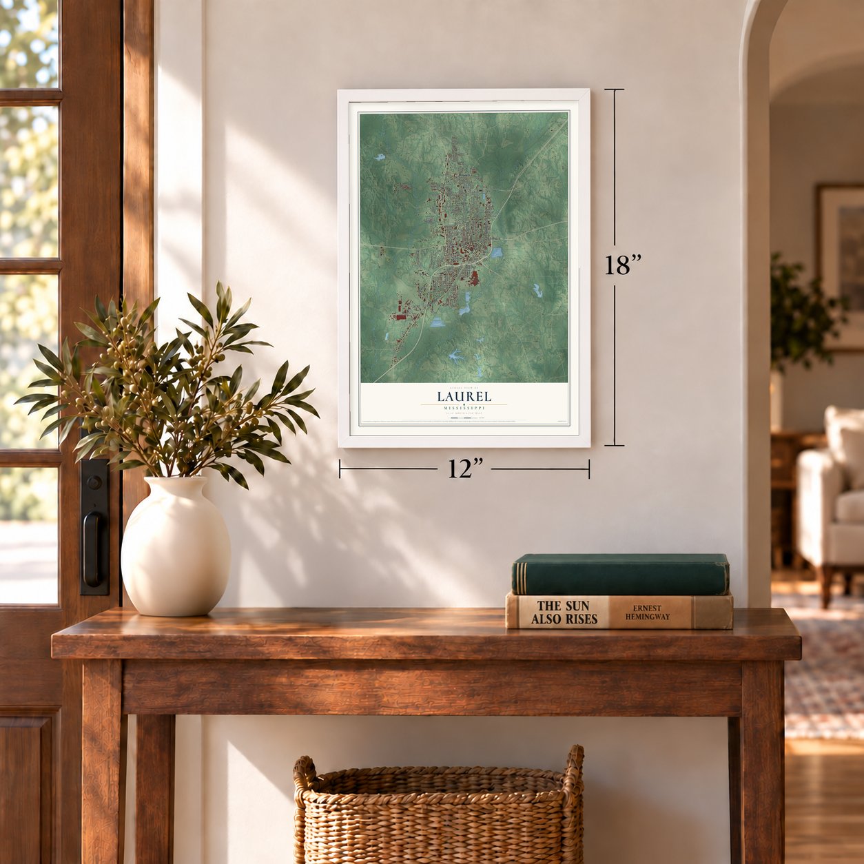
Unframed archival matte, a black wood frame or a white wood frame.
Up close
Geography Worth Displaying
This map was created using accurate cartographic data and authoritative geographic sources, including the U.S. Geological Survey and the Census Bureau. The map brings together terrain, waterways, roads, and building detail. The majority of the streets are labeled, houses are accurately depicted, and the topography is derived from government sources. Combining local data with carefully composed color and shading leads to this beautifully detailed Laurel artwork for your wall.
Rather than simply showing street outlines, we’ve included as many of the street names as we could reasonably fit on the map while keeping their names legible. Zoom in on the high resolution preview to see exactly what’s on the map. We truly set out to create a statement piece for anyone who loves Laurel. So whether it’s for you, or a gift for someone you love, we hope this map of Laurel brings back fond memories.
Read the story behind this map of Laurel, Mississippi from 2026.
About Laurel, Mississippi
Laurel is a city of 17,161 people and one of the two county seats of Jones County, in the Piney Woods of southern Mississippi. The New Orleans and Northeastern Railroad came through in 1881, and John Kamper and A.M. Lewin built a small sawmill beside its tracks, on ground that later became First Avenue. When the Post Office Department asked for a name in 1882, the partners sent in "Lawrell" for the mountain laurel growing wild on the site. Federal officials changed the spelling to Laurel, and the town was incorporated that year.
For about ten years the town was little more than a lumber camp around that mill. By 1891 Kamper was close to bankruptcy, so he sold the mill and more than 15,000 acres to Lauren Chase Eastman and the brothers George and Silas Gardiner, lumbermen from Clinton, Iowa. Their Eastman-Gardiner Company opened a large, modern mill in 1893, and the town grew fast around it, reaching 3,193 people by 1900 and at least 5,000 by 1906.
- More yellow pine than anywhereEastman-Gardiner's success drew other lumbermen. The Gilchrist-Fordney Company of Alpena, Michigan, started building a mill in Laurel in 1906, the Wausau-Southern mill from Wisconsin came in 1911, and the Marathon mill from Memphis followed in 1914. When World War I ended, no other place in the world shipped as much yellow pine lumber as Laurel's mills, and in the 1920s its four mills cut one million board feet a day.
- The home of MasoniteWilliam H. Mason developed Masonite in Laurel, a fiberboard made from young trees. Its factory jobs pulled rural families into the city, and Laurel kept growing until it hit its peak census count in 1960. The house of William H. and Marian D. Mason joined the National Register in 2017.
- Mississippi's oldest art museumThe family of Lauren Eastman Rogers founded the Lauren Rogers Museum of Art in Laurel in 1923, and it remains the oldest art museum in the state, with American, European and Japanese collections. A year earlier, Laurel teacher Ernestine Clayton Deavours had edited and published Mississippi Poets, the first major anthology of the state's writers.
- Leontyne Price, born 1927Opera singer Leontyne Price was born in Laurel in 1927 and first sang in the town's schools and churches. By the 1950s she had become one of the leading opera singers in the world, breaking many racial barriers along the way.
Find your street
Names on the Laurel map
Every name below is printed on this map. Look for your street, your school, the park where you played, or the pond down the road.
Places and landmarks3
- Laurel Cemetery
- Queensburg
- Walters
Streets and roads186
- Chantilly Street
- Spec Wilson
- Ellisville Boulevard
- Northview Drive
- Highway 15 North
- South Fourth Avenue
- West Twelfth Street
- Queensburg Avenue
- West 13th Street
- Hawks Road
- South 16th Avenue
- West Fifth Street
- West First Street
- Flynt Road
- South Maple Street
- 15th Street
- South Sixth Avenue
- Limbert Street
- State Highway 15 Bus Route
- North Fifth Avenue
- North Seventh Avenue
- Old Bay Springs Road
- Wansley Road
- Hillcrest Drive
- North First Avenue
- West Tenth Street
- Audubon Drive
- Jefferson Street
- University Avenue
- Martin Luther King Avenue
Show all 186 streets
- Airport Drive
- North Sixth Avenue
- Old Amy Road
- South Magnolia Street
- North Joe Wheeler Avenue
- Pendorff Road
- Beacon Street
- North 13th Avenue
- North 14th Avenue
- North 15th Avenue
- North Fourth Avenue
- Industrial Boulevard
- North Third Avenue
- West Eighth Street
- West Seventh Street
- North Second Avenue
- West Drive
- West Eleventh Street
- Mason Street
- Sandy Lane
- Custom Street
- Parker Drive
- South 13th Avenue
- Palmer Avenue
- West 20th Street
- Front Street
- State Street
- Moose Drive
- Oak Crest Drive
- Sixth Avenue
- 20th Street
- Brown Street
- 18th Street
- Victoria Avenue
- Lee Street
- Seventh Street
- Emmy Drive
- Grandview Drive
- Don Curt Road
- Third Avenue
- West Ninth Street
- East 24th Street
- Lindsey Drive
- Poplar Drive
- Palmer Road
- Ridgewood Drive
- Sunset Road
- Washington Street
- South Fifth Avenue
- 17th Avenue
- Carter Avenue
- Masonite Drive
- Bay Circle
- 16th Street
- Arco Lane
- Cross Street
- Katherine Drive
- Euclid Avenue
- Pearson Avenue
- Cherry Lane
- Bruce Avenue
- Wilshire Boulevard
- Thames Drive
- Forest Drive
- Base Drive
- 18th Avenue
- 32nd Street
- Hoy Road
- Lucas Street
- Fourth Street
- Fifth Street
- Best Drive
- Elm Street
- Ash Street
- Main Street
- Iris Drive
- West 24th Street
- Ameranth Street
- Bear Pen Creek Road
- Clairmont Circle
- West 21st Street
- Ferrell Street
- East Ridge Road
- Sawmill Road
- Mar - Ree Drive
- Country Club Drive
- Congress Street
- North Eighth Avenue
- Queen Street
- Lindsey Avenue
- Brown Circle
- Adams Street
- East 18th Street
- Sanderson Drive
- East Elmo Street
- Summer Trace Boulevard
- Pineview Drive
- North 17th Avenue
- Garden Drive
- East 21st Street
- Pierce Street
- East First Street
- East 19th Street
- College Drive
- Woodland Trail
- Clark Dirt Pit Road
- 13th Avenue
- Pinecrest Place
- Donald Drive
- Tower Drive
- Sandra Avenue
- Harvard Avenue
- Margaret Drive
- Melon Street
- Conti Street
- Harrison Boulevard
- North Park Street
- Jarvis Street
- Rogers Street
- West 18th Street
- East Oak Street
- Joshbury Circle
- Northgate Drive
- Karen Drive
- Briarwood Drive
- East 13th Street
- Woodland Hills Drive
- Tallahoma Drive West
- Village Park Drive
- Pine Lake Drive
- Scoggins Road
- Bush Dairy Road
- West 16th Street
- Larry Drive
- Hill Drive
- North Twelfth Avenue
- Mill Street
- South 14th Avenue
- Warehouse Drive
- Central Avenue
- West 14th Street
- General Pershing Street
- South Seventh Avenue
- Simmons Street
- Marie Drive
- Old Sandersville Road
- Westwood Acres
- Flowers Drive
- Woodbury Drive
- Woodland Drive
- Martin Avenue
- George Street
- Eighth Avenue
- West Hill Drive
- Willus Drive
- Twin Oaks Place
Names are listed as they appear on the printed map. Zoom into the product photos to find them.
The art of mapping a place
How This Map Was Made
Real places. Remarkable detail. Discover the layers that turn geographic data into a map of home.

The view from above
Aerial imagery reveals the character of the land: woodland, open fields, and the patterns of a place.

The shape of the land
Elevation data brings hills, valleys, and subtle changes in the landscape into view.

The details of home
Roads, waterways, and building footprints come together to make the map feel unmistakably local.

Geography becomes art
Considered color, shading, and typography bring the layers together in a map made for your wall.


Process illustrated with Mendon, Massachusetts. Aerial imagery: USDA NAIP. Terrain: USGS 3D Elevation Program. Map details and finished artwork: KNOWOL.
The Details
About This Print
Choose an archival matte print, or a black or white Ayous wood frame. The archival matte print is unframed.
Select your size and finish above to see the matching product image and price.
Materials & Craftsmanship
A contemporary map with the character of a classic atlas, printed on archival matte paper. Optional frames are made from Ayous wood.
Your printed map does not include the watermark shown in the full-map preview.
Shipping & Delivery
Free shipping within the United States. Every print is made to order in the USA.
Buying a gift? Add a note in your cart and we'll include it. We never put prices in the package.
Prints ship within 2 to 3 business days. Allow 7 to 10 days total from ordering for delivery. Timing may vary during holidays or periods of high order volume.
Read our shipping policy.
Returns and damaged prints
Each print is made to order. Change-of-mind refunds are not available after production.
If your print arrives damaged, misprinted or incorrect, contact support@knowol.com within 30 days of receiving it. Include your order number, photos and a description of the issue.
Read our full refund and replacement policy. For questions about your order, email support@knowol.com.
Find your town
Looking for another city?
Find a map of home in our Mississippi collection, or any town in the country.
Nearby
Maps of towns near Laurel
Know someone from one of these towns? Their map makes a great gift.
 Ellisville
, Mississippi
From $39.99See the map
 Sharon
, Mississippi
From $39.99See the map
 Soso
Soso, Mississippi
From $39.99See the map
More maps nearby: Sandersville, Moselle, Ovett, Heidelberg and Taylorsville.