
Search for another town



Free U.S. delivery 7 to 10 days after you order
Laurens, South Carolina Map Art
A new map of Laurens, South Carolina, made in 2026 and printed to order on thick archival matte paper.
12" x 18" Archival Matte Print
A Map of Home. A Work of Art.
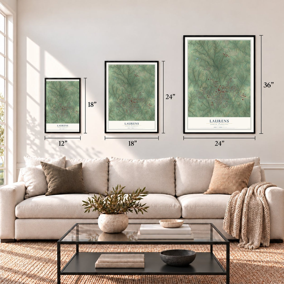
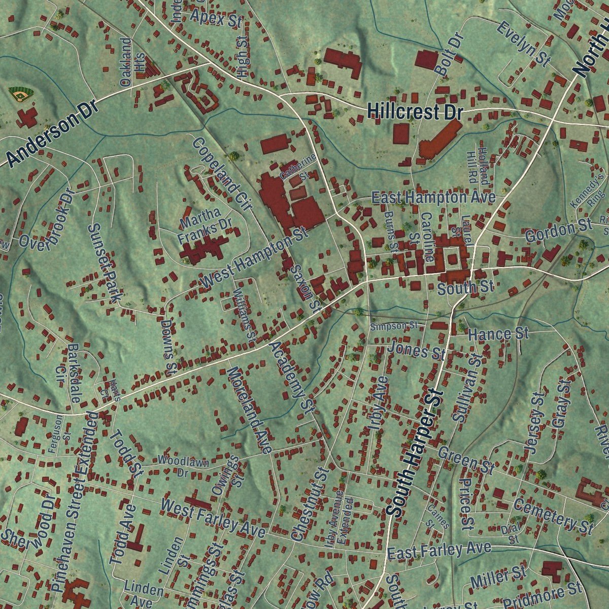
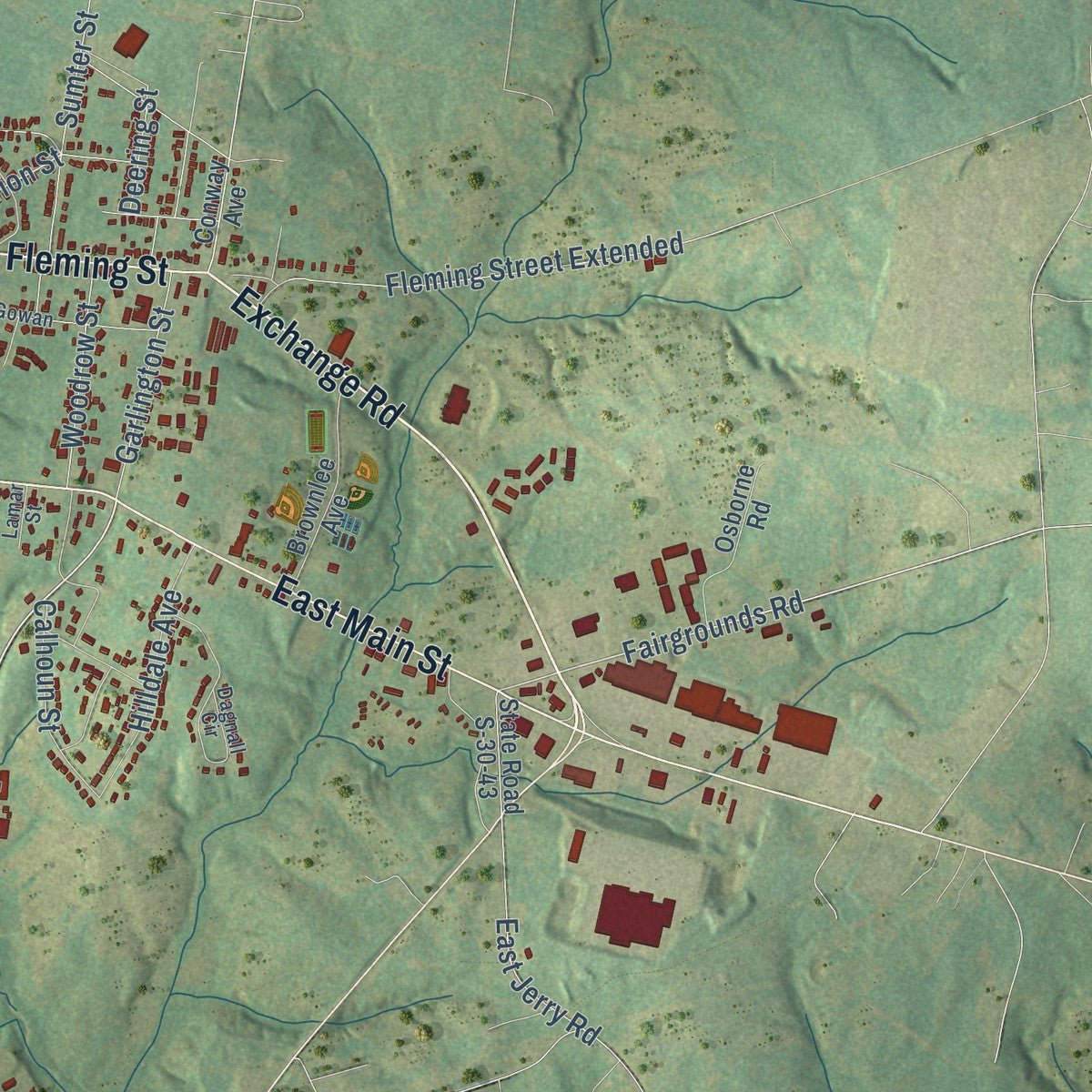
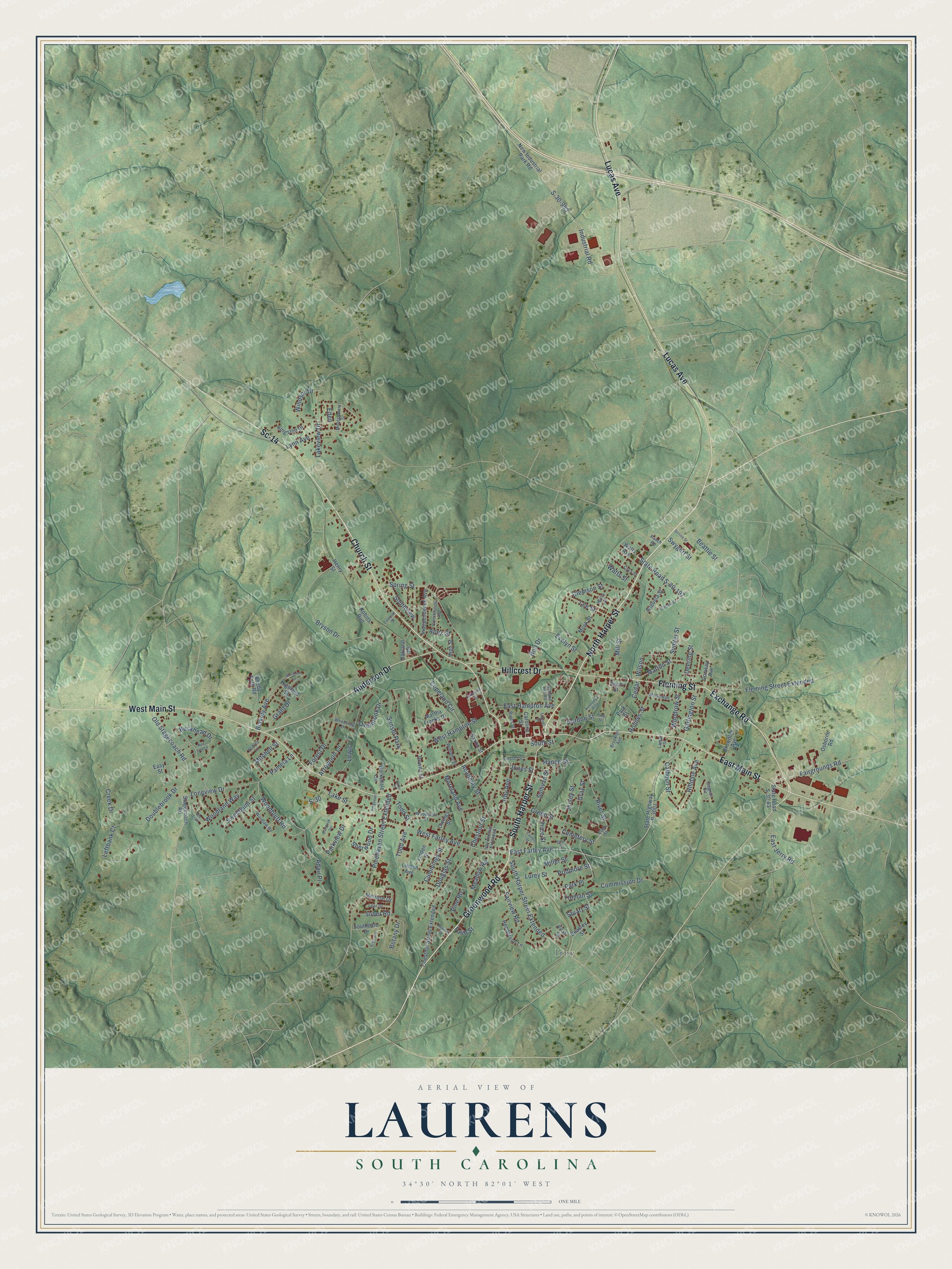
Explore Laurens, South Carolina from a whole new perspective. Created using aerial imagery and detailed geographic data, this map captures Laurens building by building, with labeled streets, familiar landmarks, and shaded topographical relief that highlights the natural contours of the landscape.
Combining modern data with the timeless character of a vintage atlas, this map is just as interesting up close as it is beautiful on the wall. Whether you grew up in Laurens, spent memorable years there, or call it home today, this unique map is a great way to celebrate a place that means something to you. Zoom in on the preview to look for your street, and then order a print to put your memories on the wall.
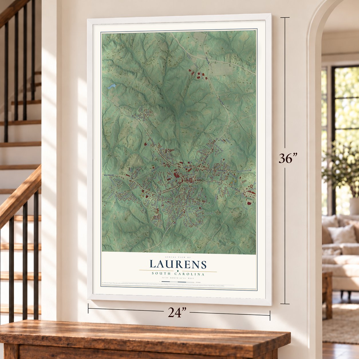
Three ways to hang it
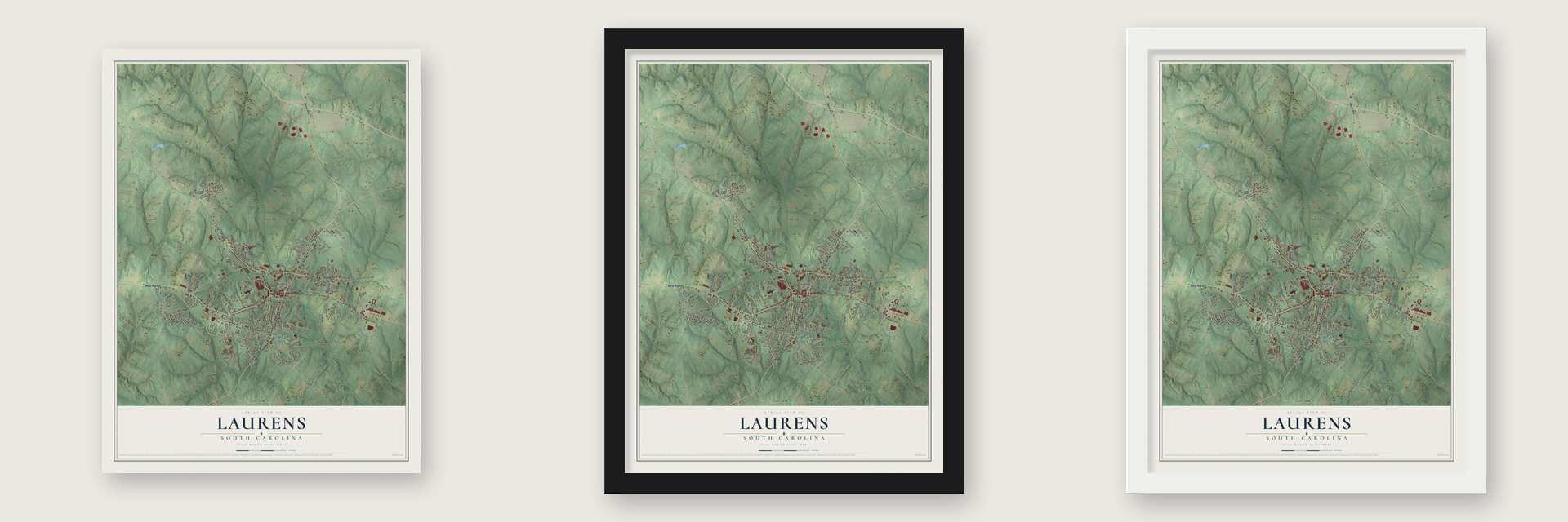
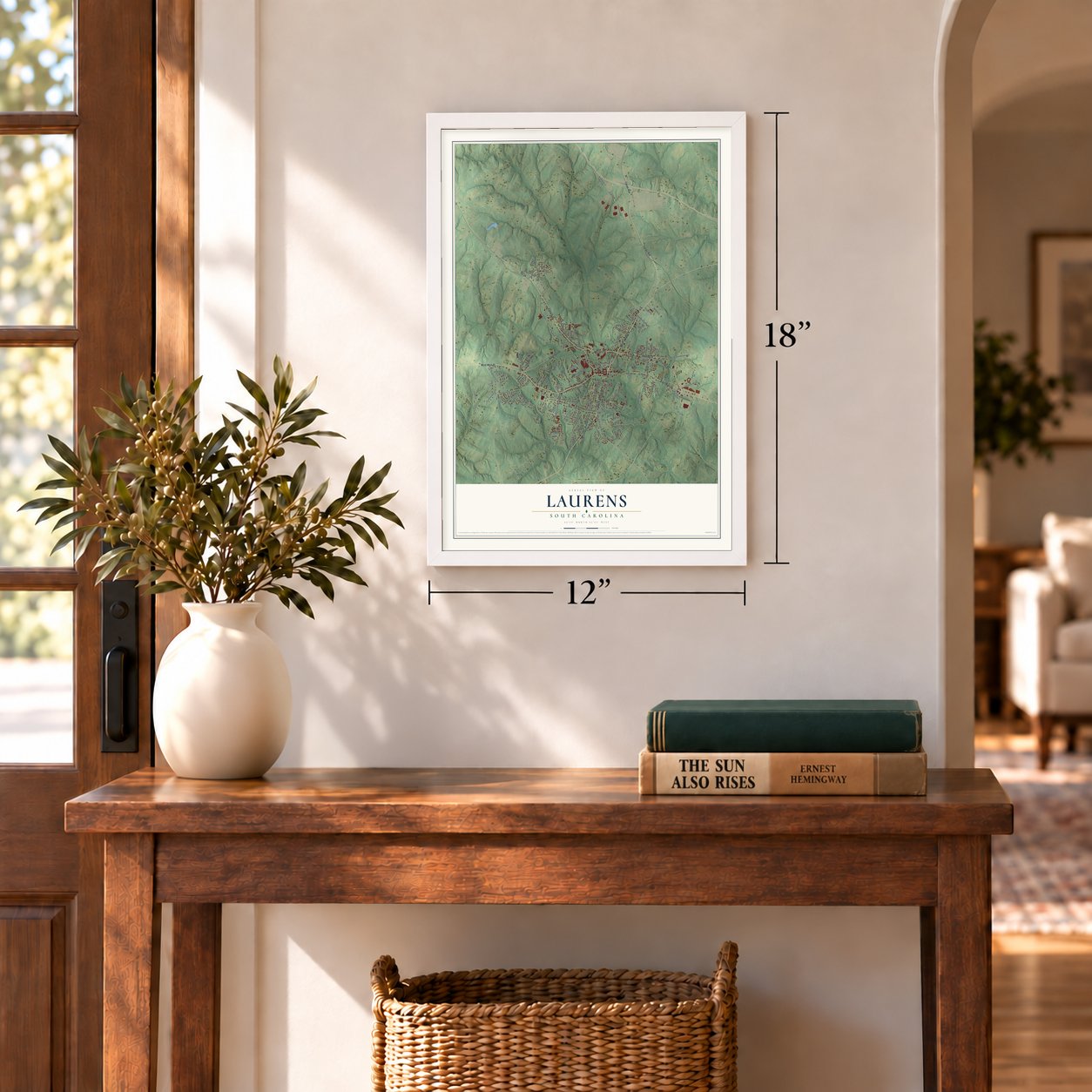
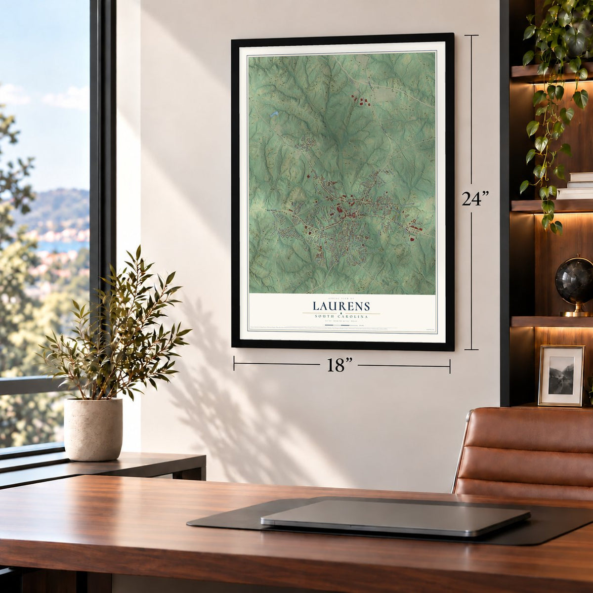
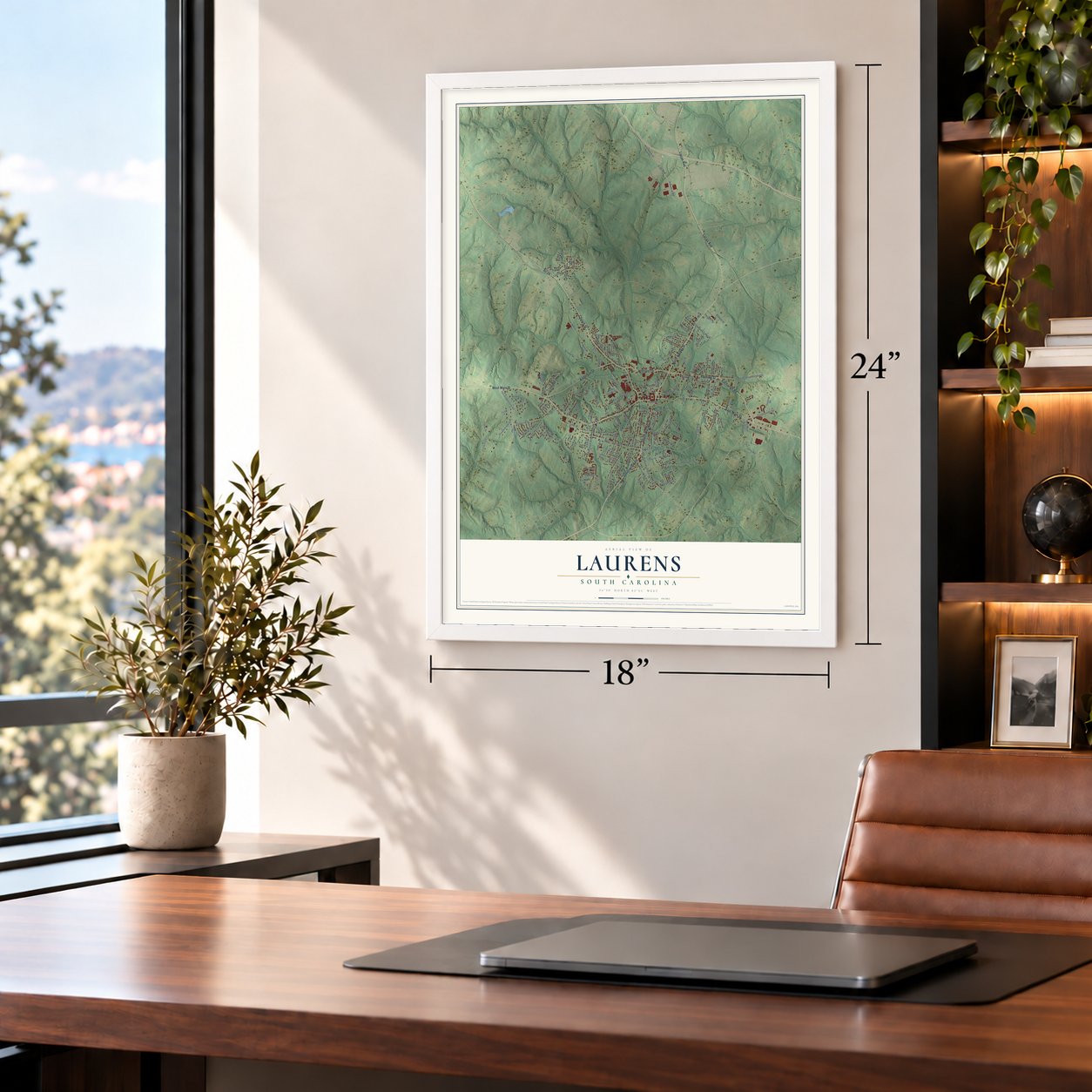
Unframed archival matte, a black wood frame or a white wood frame.
Up close
Geography Worth Displaying
This map was created using accurate cartographic data and authoritative geographic sources, including the U.S. Geological Survey and the Census Bureau. The map brings together terrain, waterways, roads, and building detail. The majority of the streets are labeled, houses are accurately depicted, and the topography is derived from government sources. Combining local data with carefully composed color and shading leads to this beautifully detailed Laurens artwork for your wall.
Rather than simply showing street outlines, we’ve included as many of the street names as we could reasonably fit on the map while keeping their names legible. Zoom in on the high resolution preview to see exactly what’s on the map. We truly set out to create a statement piece for anyone who loves Laurens. So whether it’s for you, or a gift for someone you love, we hope this map of Laurens brings back fond memories.
Read the story behind this map of Laurens, South Carolina from 2026.

About Laurens, South Carolina
Laurens is a city of 9,335 people and the seat of Laurens County, in upstate South Carolina. The General Assembly set up the county in 1785, and its town was first called Laurensville, for Henry Laurens, a merchant, rice planter and slave trader who served as president of the Continental Congress. After the Revolution, in 1790, the town was chosen as the county seat. Its 1845 charter still used the name Laurensville, and the shorter name Laurens first appeared in a charter in 1873.
Before the Civil War the town grew on cotton, raised by enslaved people on the plantations around it, and that wealth drew merchants and businessmen. Future president Andrew Johnson worked as a tailor downtown from 1824 to 1826. The war's fighting never reached Laurens, but refugees fleeing Charleston arrived, and some stayed. Afterward the town turned to industry: a cotton mill opened in 1895, Watts Mill in 1902, and the Laurens Glass Company in 1910, which ranked among the Southeast's largest glass plants for over 80 years.
- Two guineas for the squareThe four acres of Courthouse Square were bought in 1792 for two guineas. The first courthouse there was built of wood and also served as a church and a school, and a brick one replaced it. Dr. John Wells Simpson built the third, the one that stands today, in 1838. The Laurens County Courthouse joined the National Register in 1972.
- Churches by Columbus WhiteColumbus White, a builder who had been enslaved, designed Bethel AME Church on Caroline Street in 1910, replacing the congregation's first building from 1868. In 1912 he built its neighbor, Saint Paul First Baptist, a Gothic Revival church that housed the county's first public school for African American children until 1937. Bethel AME was torn down in the mid-2010s, but Saint Paul still stands.
- An eight-sided homeReverend Zelotes Lee Holmes, a Presbyterian minister and teacher in Laurens, built the Octagon House sometime between 1850 and 1859, working from a design credited to his brother, an engineer. It is one of only two octagonal buildings in South Carolina, and it joined the National Register in 1973.
- A governor's Greek Revival houseChristopher Garlington, from one of the town's first families, built a Greek Revival house in 1839. Major Adam Eichelberger bought it from the Garlingtons and some years later sold it to W.D. Simpson, a former governor of South Carolina. The William Dunlap Simpson House joined the National Register in 1974.
Find your street
Names on the Laurens map
Every name below is printed on this map. Look for your street, your school, the park where you played, or the pond down the road.
Places and landmarks2
- Irby
- Sunset Park
Streets and roads177
- Lucas Avenue
- North Harper Street
- Greenwood Road
- South Harper Street
- Exchange Road
- Sc-14
- Church Street
- West Main Street
- East Main Street
- Fleming Street
- Anderson Drive
- Hillcrest Drive
- East Farley Avenue
- Parkview Drive
- Woodbluff Road
- Fairgrounds Road
- State Road S-30-197
- River Street
- S-30-953
- Beattie Street
- Chestnut Street
- West Hampton Street
- Cemetery Street
- Pridmore Street
- Wilson
- Todd Avenue
- Bryson Drive
- Park Place
- Marion Street
- Spring Street
Show all 177 streets
- Pinehaven Street Extended
- West Farley Avenue
- Clemson Street
- Copeland Circle
- Green Street
- Mill Street
- South Harper Street Extended
- Fleming Street Extended
- Sullivan Street
- Academy Street
- Leftbank Court
- Old Stagecoach Road
- Adair Place
- Fairview Road
- Doublebrook Drive
- Jersey Street
- Cummings Street
- Sherwood Drive
- Longview Drive
- Forest Drive
- Lakeview Drive
- Moreland Avenue
- Commission Drive
- Calhoun Street
- Industrial Road
- East Hampton Avenue
- Sumter Street
- East Jerry Road
- Overbrook Drive
- Lake Street
- Meadow Road
- Lynn Avenue
- Hilldale Avenue
- Blakely Avenue
- Woodland Way
- Windsor Drive
- Evelyn Street
- Miller Street
- Buckhead Drive
- Gordon Street
- Southview
- Lurey Street
- Holmes Street
- Mitchell Street
- Garlington Street
- Irby Avenue
- Sweetgum Street
- Woodrow Street
- Douglas Street
- Swygert Street
- Lee Street
- Creek Drive
- Price Street
- Grant Drive
- S-30
- Hance Street
- Pamela Lane
- Todd Street
- Arrowood Lane
- Truman Street
- Lewis
- Suber Road
- Stuart Street
- Faith Street
- Bolt Drive
- Pine Road
- Watts Street
- Jones Street
- Cedar
- Botany Drive
- South Street
- Deering Street
- Gray Street
- Apex Street
- Eden
- State Highway P-3001
- New Industrial Park Road
- Conway Avenue
- Linden Avenue
- Chestnut Street Extended
- Watts Avenue
- State Road S-30-43
- Caroline Street
- Owings Street
- Independence Avenue
- Reedy Fork Road
- Brownlee Avenue
- Kingston Drive
- Henderson Lane
- Henry Street
- Barksdale Circle
- Osborne Road
- Stagecoach Road
- Oakland Heights
- Augusta Street
- Robins Run
- Martha Franks Drive
- Linden Street
- Southdale Drive
- Saxon Street
- Melrose Drive
- Mock Street
- Highland Street
- Downs Street
- Beasley Street
- High Street
- Scott Street
- Easy Street
- First Street
- Park Street
- Dagnall Circle
- Woodview Drive
- McGowan
- Woodlawn Drive
- Clark Street
- Wardlaw Road
- Williams Street
- Irby Avenue Extended
- Cora Street
- Constitution Avenue
- Montgomery Street
- Ashley Lane
- Willis Street
- Lear Drive
- Burns Street
- Holland Hill Road
- Laurel Street
- Brooklyn Avenue
- Ranch Road
- Dial Street
- Lamar Street
- Kennedy's Ring
- Sunshine Lane
- Garrett Street
- Sirrine Street
- Ring Street
- Catherine Street
- Overlook Terrace
- Fox Trail
- S-30-475
- Simpson Street
- Reames Drive
- Coleman Street
- Ferguson Street
- Harts Court
- Red Fox Lane
- Caines Street
Names are listed as they appear on the printed map. Zoom into the product photos to find them.
The art of mapping a place
How This Map Was Made
Real places. Remarkable detail. Discover the layers that turn geographic data into a map of home.

The view from above
Aerial imagery reveals the character of the land: woodland, open fields, and the patterns of a place.

The shape of the land
Elevation data brings hills, valleys, and subtle changes in the landscape into view.

The details of home
Roads, waterways, and building footprints come together to make the map feel unmistakably local.

Geography becomes art
Considered color, shading, and typography bring the layers together in a map made for your wall.


Process illustrated with Mendon, Massachusetts. Aerial imagery: USDA NAIP. Terrain: USGS 3D Elevation Program. Map details and finished artwork: KNOWOL.
The Details
About This Print
Choose an archival matte print, or a black or white Ayous wood frame. The archival matte print is unframed.
Select your size and finish above to see the matching product image and price.
Materials & Craftsmanship
A contemporary map with the character of a classic atlas, printed on archival matte paper. Optional frames are made from Ayous wood.
Your printed map does not include the watermark shown in the full-map preview.
Shipping & Delivery
Free shipping within the United States. Every print is made to order in the USA.
Buying a gift? Add a note in your cart and we'll include it. We never put prices in the package.
Prints ship within 2 to 3 business days. Allow 7 to 10 days total from ordering for delivery. Timing may vary during holidays or periods of high order volume.
Read our shipping policy.
Returns and damaged prints
Each print is made to order. Change-of-mind refunds are not available after production.
If your print arrives damaged, misprinted or incorrect, contact support@knowol.com within 30 days of receiving it. Include your order number, photos and a description of the issue.
Read our full refund and replacement policy. For questions about your order, email support@knowol.com.
Find your town
Looking for another city?
Find a map of home in our South Carolina collection, or any town in the country.
Nearby
Maps of towns near Laurens
Know someone from one of these towns? Their map makes a great gift.
 Watts Mills
, South Carolina
From $39.99See the map
 Gray Court
, South Carolina
From $39.99See the map
 Mountville
, South Carolina
From $39.99See the map
More maps nearby: Clinton, Waterloo, Enoree, Cross Anchor and Cross Hill.