
Search for another town



Free U.S. delivery 7 to 10 days after you order
Lebanon, Missouri Map Art
Building by building, with labeled streets and shaded relief.
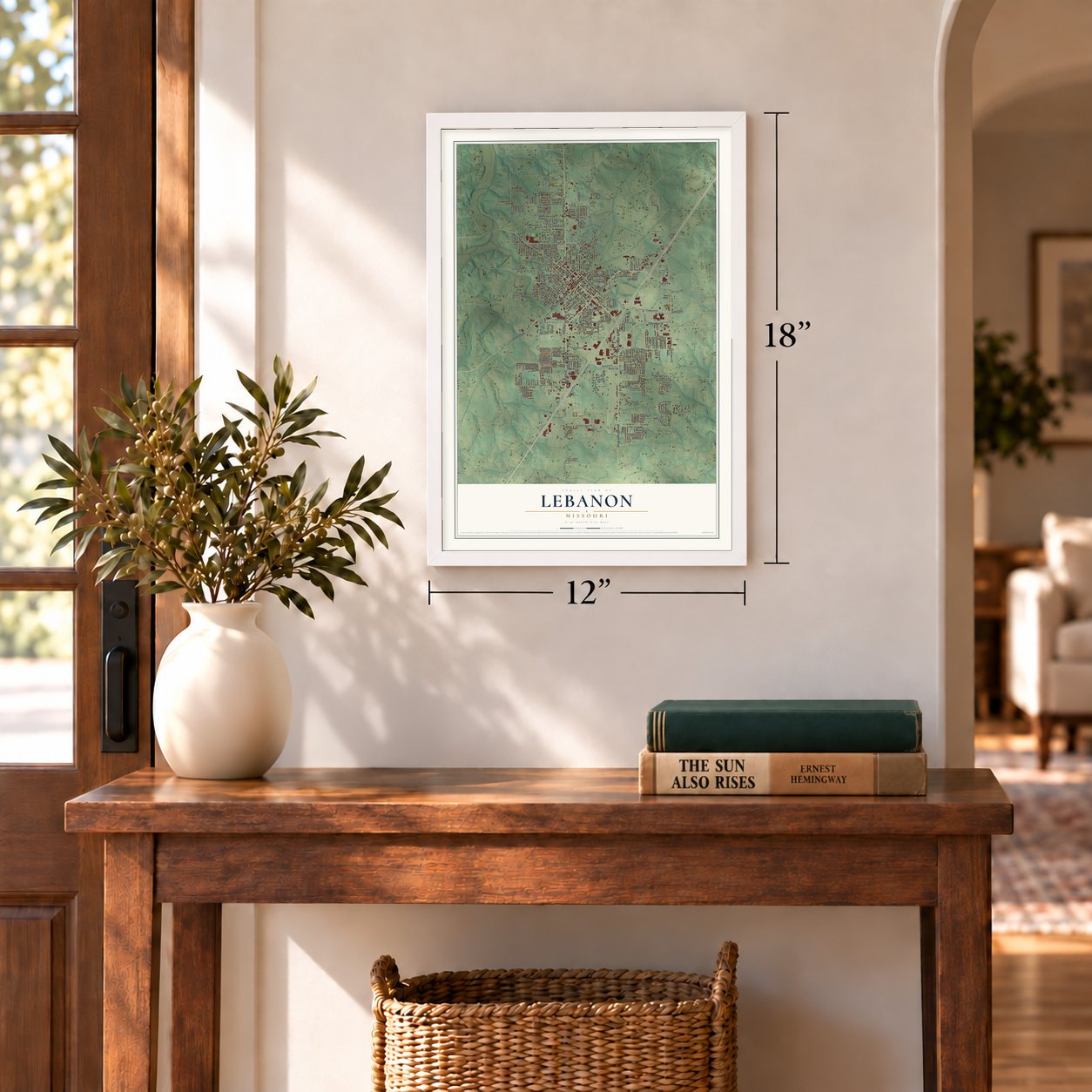
12" x 18" Archival Matte Print
A Map of Home. A Work of Art.
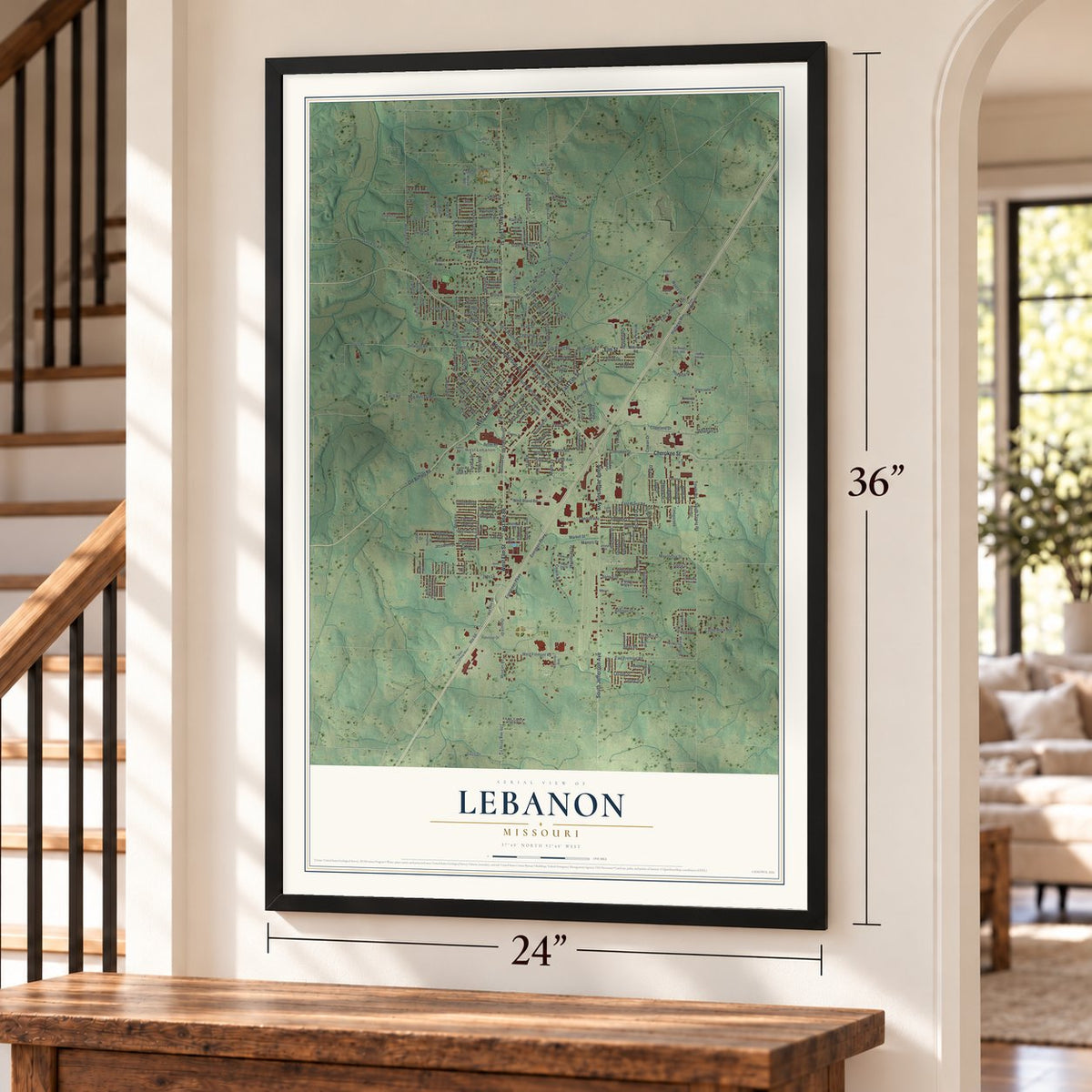
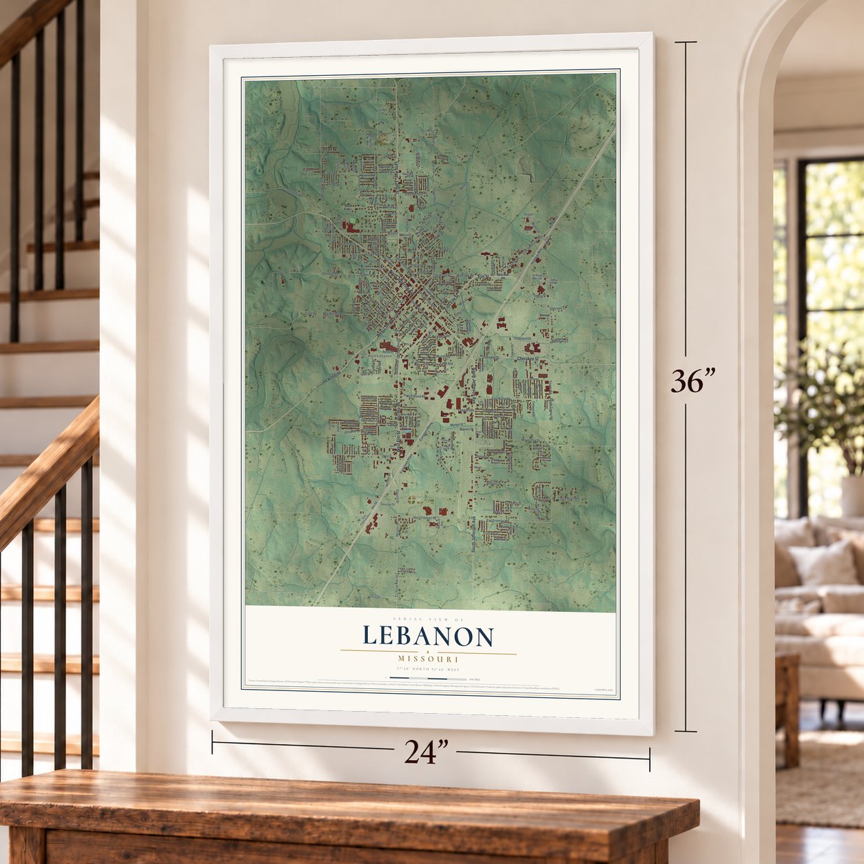
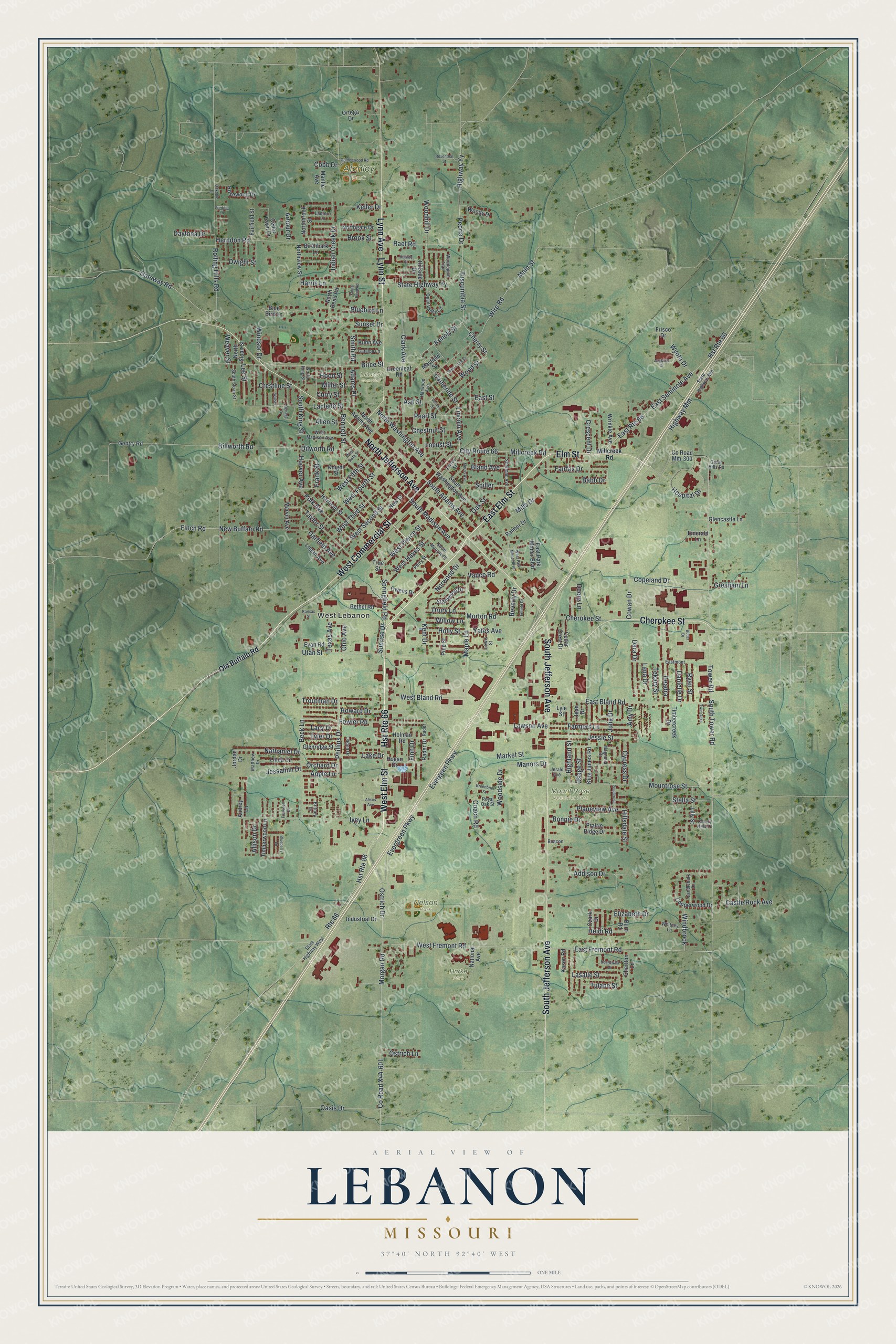
Explore Lebanon, Missouri from a whole new perspective. Created using aerial imagery and detailed geographic data, this map captures Lebanon building by building, with labeled streets, familiar landmarks, and shaded topographical relief that highlights the natural contours of the landscape.
Combining modern data with the timeless character of a vintage atlas, this map is just as interesting up close as it is beautiful on the wall. Whether you grew up in Lebanon, spent memorable years there, or call it home today, this unique map is a great way to celebrate a place that means something to you. Zoom in on the preview to look for your street, and then order a print to put your memories on the wall.
Three ways to hang it
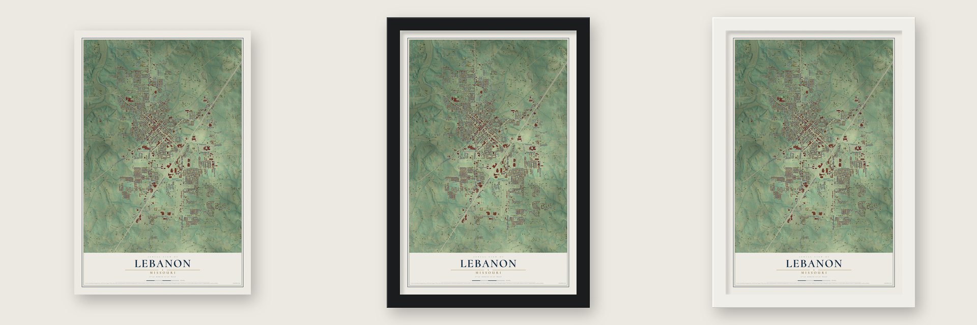
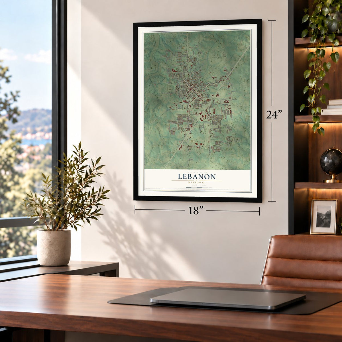
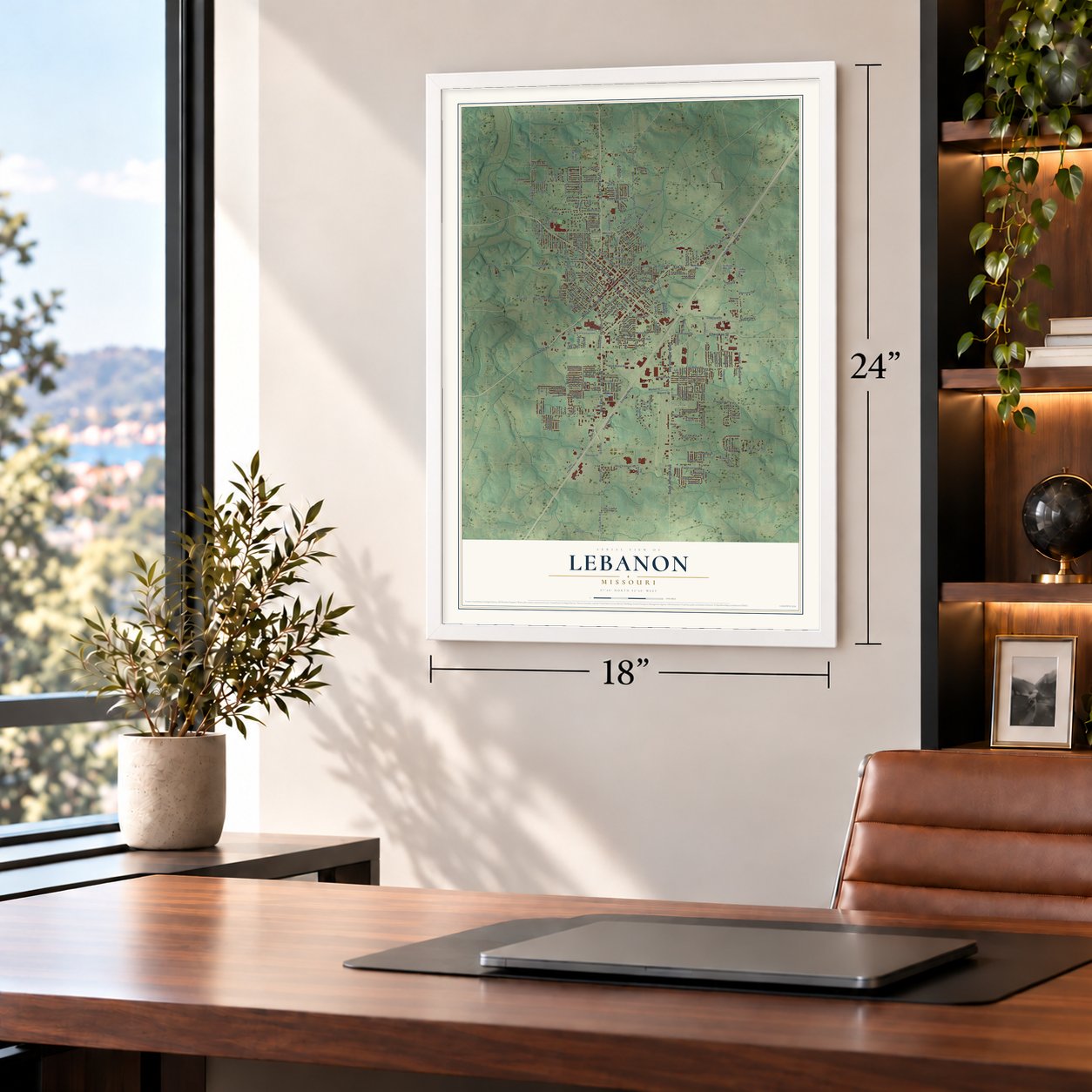
Unframed archival matte, a black wood frame or a white wood frame.
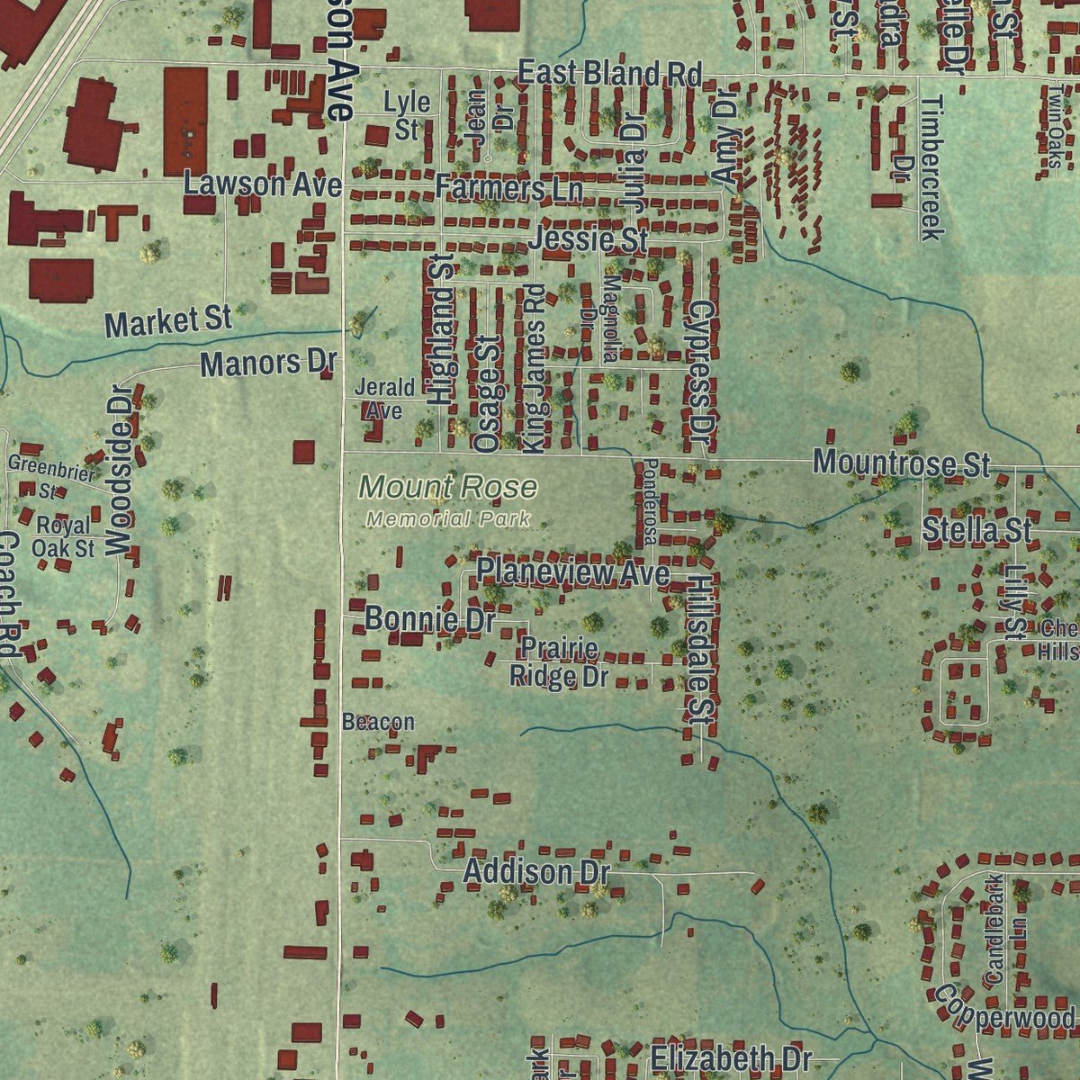
Up close
Geography Worth Displaying
This map was created using accurate cartographic data and authoritative geographic sources, including the U.S. Geological Survey and the Census Bureau. The map brings together terrain, waterways, roads, and building detail. The majority of the streets are labeled, houses are accurately depicted, and the topography is derived from government sources. Combining local data with carefully composed color and shading leads to this beautifully detailed Lebanon artwork for your wall.
Rather than simply showing street outlines, we’ve included as many of the street names as we could reasonably fit on the map while keeping their names legible. Zoom in on the high resolution preview to see exactly what’s on the map. We truly set out to create a statement piece for anyone who loves Lebanon. So whether it’s for you, or a gift for someone you love, we hope this map of Lebanon brings back fond memories.
Read the story behind this map of Lebanon, Missouri from 2026.

Find your street
Names on the Lebanon map
Every name below is printed on this map. Look for your street, your school, the park where you played, or the pond down the road.
Places and landmarks6
- West Lebanon
- Atchley Park
- Harke Park
- Lebanon Cemetery
- Mount Rose Memorial Park
- Nelson Park
Streets and roads280
- West Elm Street
- East Elm Street
- Elm Street
- West Commercial Street
- Hst Route 66
- Cherokee Street
- South Jefferson Avenue
- North Jefferson Avenue
- Lynn Avenue
- Lynn Street
- Millcreek Road
- City Route 66
- Catherine Street
- Kenoly Street
- Lincoln Avenue
- Cherry Street
- Wood Street
- Ostrich Drive
- County Road X44-601
- West Fremont Road
- East Fremont Road
- Morgan Road
- Tower Road
- Evergreen Parkway
- Frank Street
- Evergeen Parkway
- Dilworth Road
- Hoover Avenue
- Norwood Drive
- New Buffalo Road
Show all 280 streets
- Dillworth Road
- East Route 66
- East Seminole Avenue
- South Adams Avenue
- South Tower Road
- West Bland Road
- North Washington Avenue
- Finch Road
- Maple Lane
- West Third Street
- South Madison Avenue
- Laclede Street
- Polk Avenue
- Adams Place
- Beck Lane
- Highway Yy
- State Highway Yy
- Cowan Drive
- Main Street
- Brice Street
- Route 66
- Rolling Hills Road
- Mountrose Street
- East Bland Road
- Ivey Lane
- Clark Avenue
- Hst Route 86
- Utah Street
- Fowler Road
- West Second Street
- Bluebird Lane
- Wire Road
- Sunset Drive
- Howard Drive
- West Fourth Street
- Pearl Street
- Highway Mm
- Fairfax Drive
- Springfield Road
- Addison Drive
- Hospital Drive
- Peoria Drive
- West Hayes Street
- Kent Drive
- Indian Creek Drive
- West Fifth Street
- Oasis Drive
- Phillips Drive
- Bennett Street
- Herndon Road
- Lake Drive
- Jessie Street
- Highland Street
- Deadra
- Harris Lane
- Crescent Drive
- Farmers Lane
- Castle Rock Avenue
- Raef Road
- Copeland Drive
- Woodhill Drive
- West Pierce Street
- Coach Road
- Lawson Avenue
- Brook Street
- Taylor Street
- Troutman Drive
- Smith Road
- Nathaniel Drive
- Morton Road
- Keller Drive
- Mills Drive
- Planeview Avenue
- Dara Drive
- Bland Avenue
- Chestnut Street
- Drury Lane
- Market Street
- Elizabeth Drive
- Lee Street
- Tuscumbia Street
- Woodside Drive
- Spiller
- Vance Road
- Miller Street
- Heidi Road
- Wyota Drive
- Lasalle Street
- Cypress Drive
- Windbrook
- Ohio Avenue
- South King Street
- Gateway Road
- Garfield Avenue
- Manors Drive
- Willow Lane
- Finn Drive
- Ryan Street
- Daytona Drive
- Holly Street
- Hillsdale Street
- Danielle Drive
- Dwight Street
- Jessalinn Drive
- Bonnie Drive
- Stella Street
- Lana Drive
- Gresham Lane
- Ostrich Lane
- Texas Avenue
- Sunrise Drive
- Curry Street
- Osage Street
- Tyler Drive
- Lacy Drive
- Windsor Drive
- Hood Street
- Orchard Drive
- Apple Lane
- Tulane Street
- Julia Drive
- Yates Avenue
- Locust Street
- Tekary Street
- Crestline Street
- Allison Drive
- Amy Drive
- Deere Lane
- Allen Street
- Beverly Drive
- Weaver Street
- Cobb Drive
- Babb Drive
- Arbour Drive
- Oak Street
- Ash Street
- East Street
- Old Buffalo Road
- Knight Street
- South Washington Avenue
- North Adams Avenue
- Rader Drive
- Copperwood Drive
- King James Road
- National Avenue
- County Road Mm-300
- Glenridge Street
- Palmer Drive
- Harrison Street
- Industrial Drive
- Rosewood Drive
- Stanwood Drive
- New Street
- Northview Street
- Prairie Ridge Drive
- Hogan Drive
- Audrey Lane
- Holman Road
- Woody Drive
- Linda Circle
- Timberwood Lane
- Northgate Drive
- Bethel Road
- Lilly Street
- Timbercreek Drive
- Mayfield Street
- North Bend Road
- Pine Street
- Logan Avenue
- Glencastle Lane
- Birchbark Lane
- Northbrook Street
- Owens Drive
- Greenleaf Road
- Cedar Lawn Drive
- Blue Bird Lane
- Cedar Crest Drive
- Fairfield Street
- Marvin Avenue
- Wrinkle Avenue
- Emerald Lane
- Kuhn Avenue
- East Park Manor Boulevard
- Evan Road
- Charlton Lane
- Kasen Road
- Gentry Road
- Hillside Drive
- North Sloan Street
- Jean Drive
- Mantle Avenue
- Ortega Drive
- Ozark Drive
- Jordan Drive
- Lyle Street
- Frisco Drive
- Burd Road
- True Street
- Woodspice Trail
- State Highway West
- State Highway Mm
- Harwood Avenue
- West Madison Avenue
- Quail Valley Circle
- Magnolia Drive
- Sherman Avenue
- Britney Drive
- South Sloan Street
- South Monroe Street
- Frisco Street
- Candlebark Lane
- Catalpa Lane
- Cherry Hills Lane
- Whitney Lane
- Lantern Lane
- Eastmont
- Jaden Drive
- Matthew Drive
- Jerald Avenue
- Lewis Street
- Royal Oak Street
- Perry Street
- North King Street
- Green Hills Road
- Beacon
- Rader
- West Sixth Street
- West Park Manor Boulevard
- Saint Louis Street
- Kansas Street
- Goldenwood Road
- Benage Drive
- South Bend Road
- Boardwalk Drive
- Walser
- Ponderosa
- Auglaize Drive
- Rosenthal Street
- Greenbrier Street
- Morris Avenue
- Twin Oaks
- Blueberry Lane
- Vernon Street
- Butler Drive
- Hillside Court
- Alexis Avenue
- Enfield Drive
- Foxwood Court
- Oakdale Drive
- Freddie Lane
Names are listed as they appear on the printed map. Zoom into the product photos to find them.
About Lebanon, Missouri
Lebanon is a city in Laclede County, Missouri, and the 2020 census recorded 15,013 residents.
- 15,013 peopleThe 2020 census recorded 15,013 residents in Lebanon.
- Laclede CountyLebanon is a city in Laclede County, Missouri.
- The nameLebanon took its name from the original Native Americans that settled in the area.
- Established in 1849The community was established in 1849.
- 14.72 square milesThe Census Bureau reports a total area of 14.72 square miles.
Keep exploring Missouri
Lebanon is one of 1,207 Missouri towns we've mapped. Every dot on the map is a print of its own.
The search covers every state, Missouri first.
Near Lebanon
Order 2 or more town maps and save 10%. Shown in the size and finish you picked above, so they hang as a set.
- Evergreen 12" x 18" / Archival Matte Print $39.99
- Phillipsburg 12" x 18" / Archival Matte Print $39.99
- Bennett Springs 12" x 18" / Archival Matte Print $39.99
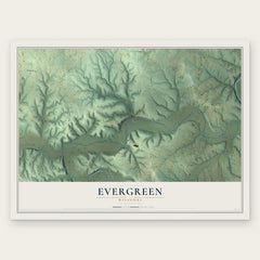
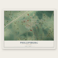
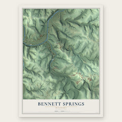
More maps nearby: Stoutland, Conway, Grovespring, Richland and Laquey.
The art of mapping a place
How This Map Was Made
Real places. Remarkable detail. Discover the layers that turn geographic data into a map of home.

The view from above
Aerial imagery reveals the character of the land: woodland, open fields, and the patterns of a place.

The shape of the land
Elevation data brings hills, valleys, and subtle changes in the landscape into view.

The details of home
Roads, waterways, and building footprints come together to make the map feel unmistakably local.

Geography becomes art
Considered color, shading, and typography bring the layers together in a map made for your wall.


Process illustrated with Mendon, Massachusetts. Aerial imagery: USDA NAIP. Terrain: USGS 3D Elevation Program. Map details and finished artwork: KNOWOL.
The Details
About This Print
Choose an archival matte print, or a black or white Ayous wood frame. The archival matte print is unframed.
Select your size and finish above to see the matching product image and price.
Materials & Craftsmanship
A contemporary map with the character of a classic atlas, printed on archival matte paper. Optional frames are made from Ayous wood.
Your printed map does not include the watermark shown in the full-map preview.
Shipping & Delivery
Free shipping within the United States. Every print is made to order in the USA.
Buying a gift? Add a note in your cart and we'll include it. We never put prices in the package.
Prints ship within 2 to 3 business days. Allow 7 to 10 days total from ordering for delivery. Timing may vary during holidays or periods of high order volume.
Read our shipping policy.
Returns and damaged prints
Each print is made to order. Change-of-mind refunds are not available after production.
If your print arrives damaged, misprinted or incorrect, contact support@knowol.com within 30 days of receiving it. Include your order number, photos and a description of the issue.
Read our full refund and replacement policy. For questions about your order, email support@knowol.com.