
Search for another town



Free U.S. delivery 7 to 10 days after you order
Liberal, Kansas Map Art
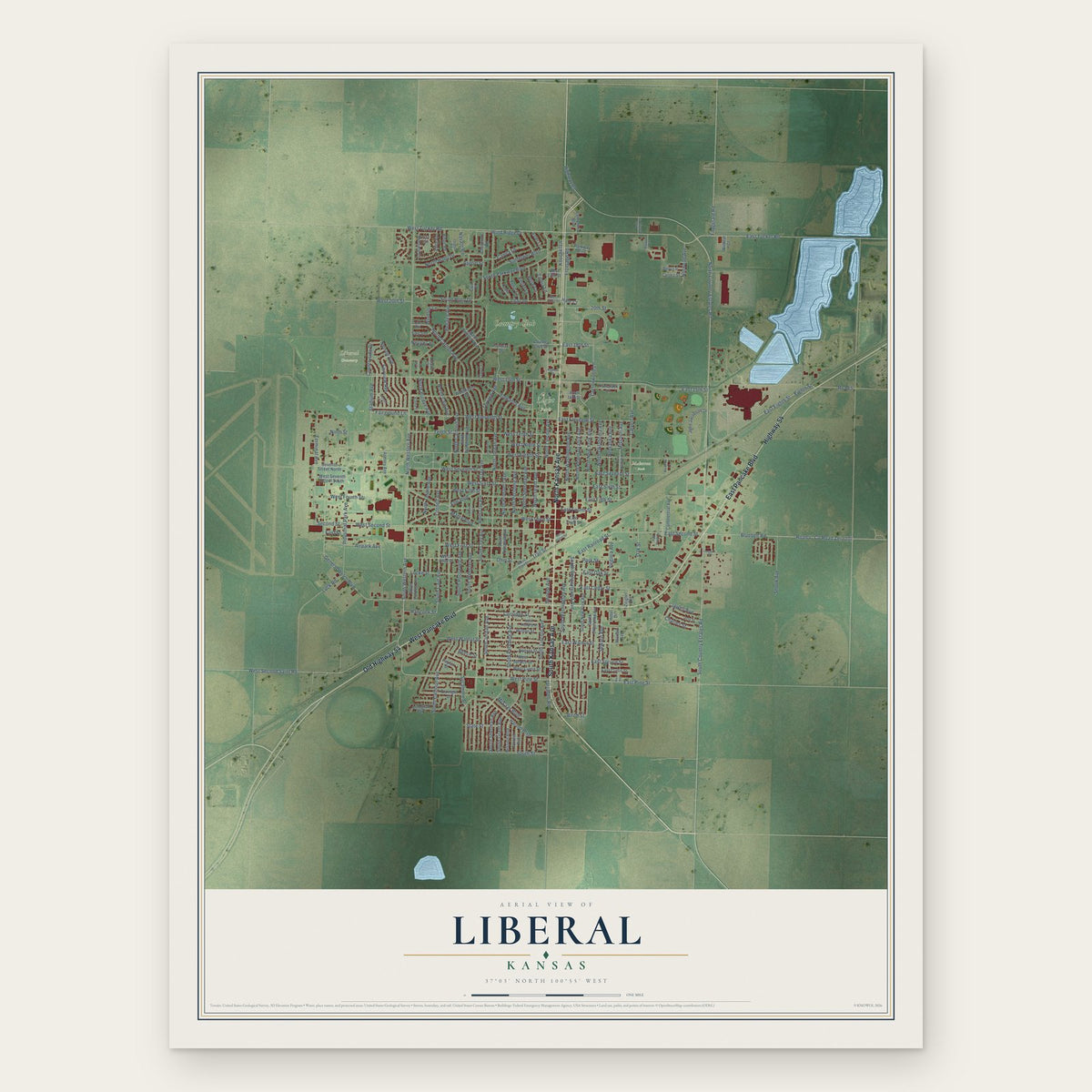
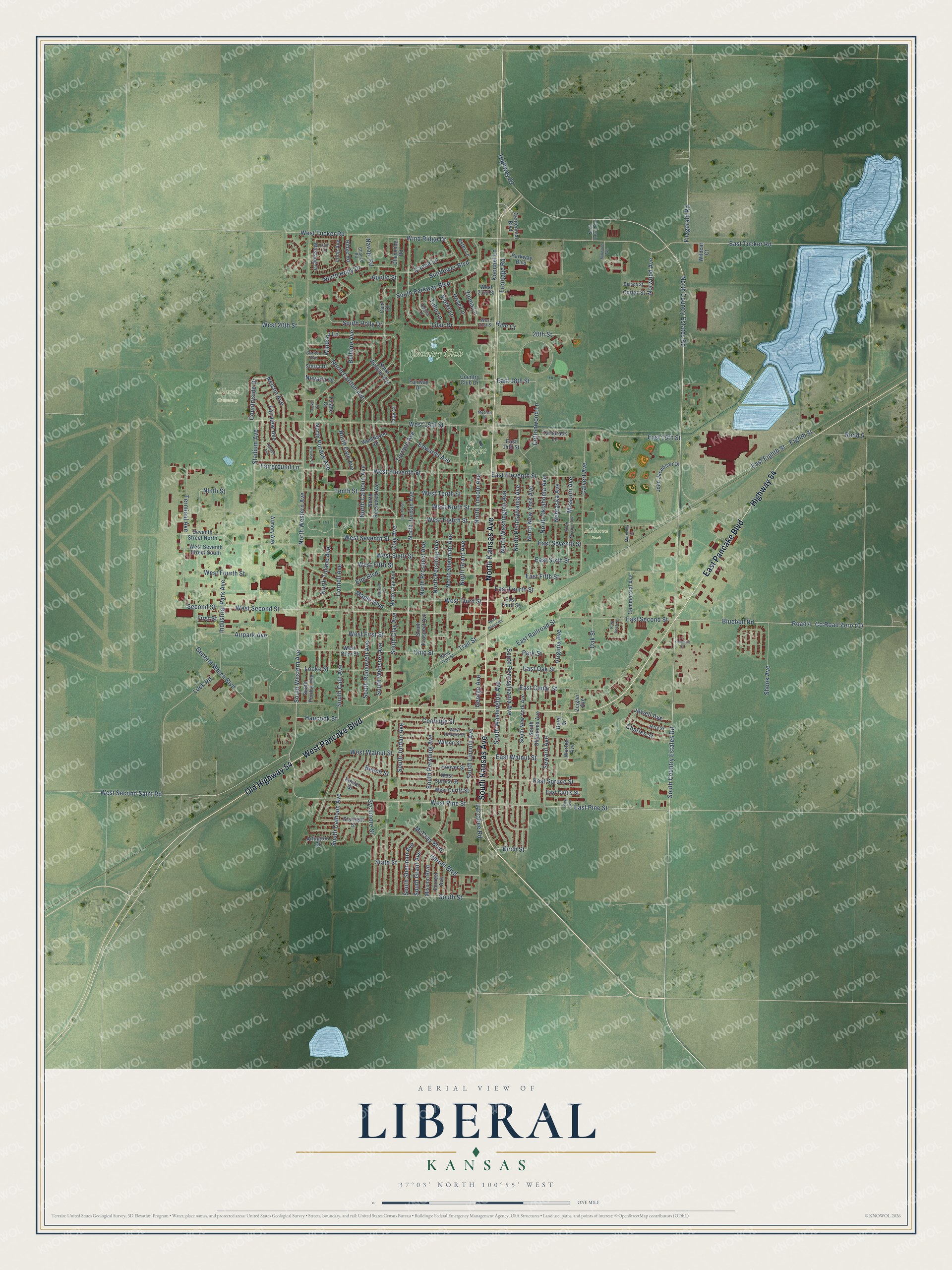
A new map of Liberal, Kansas, made in 2026 and printed to order on thick archival matte paper.
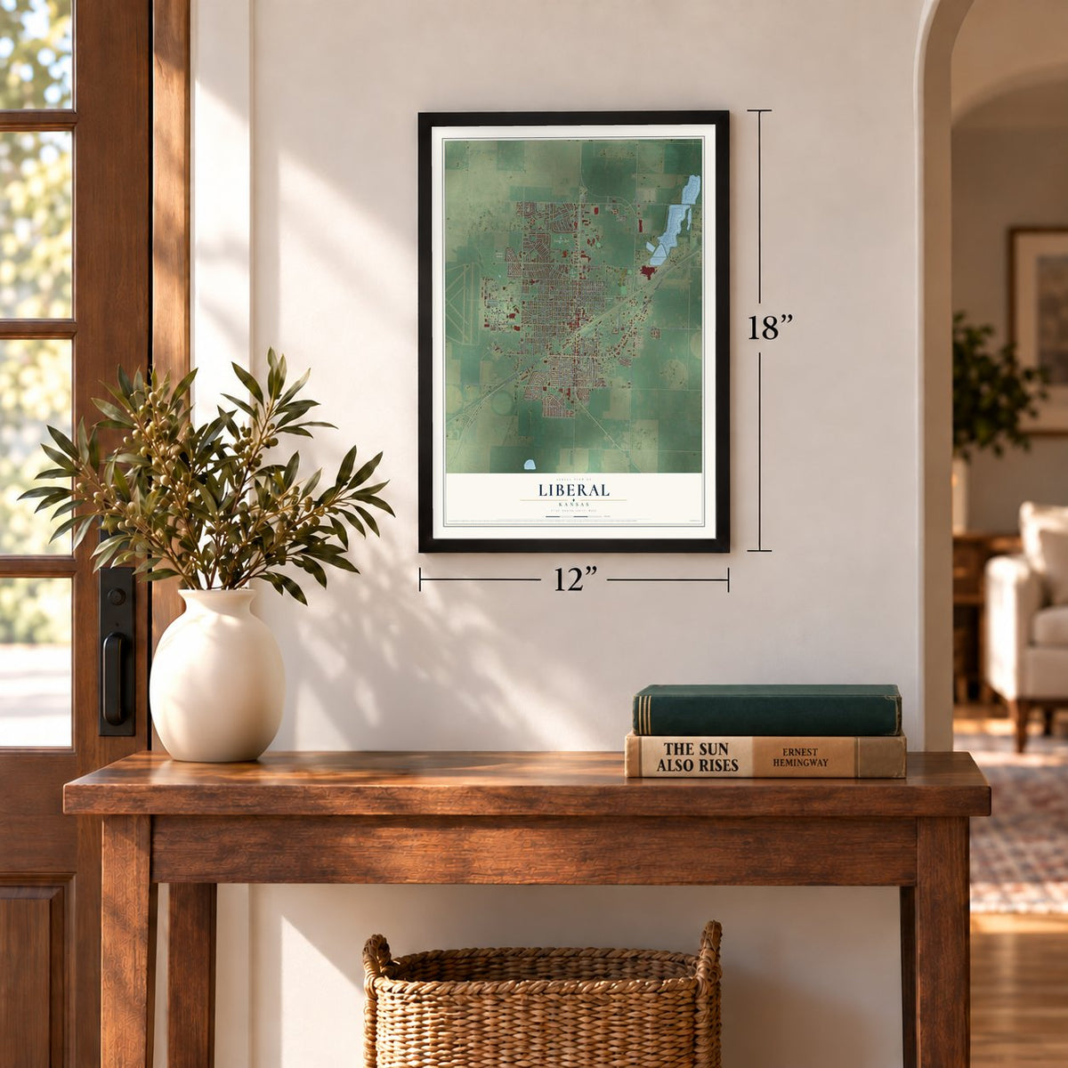
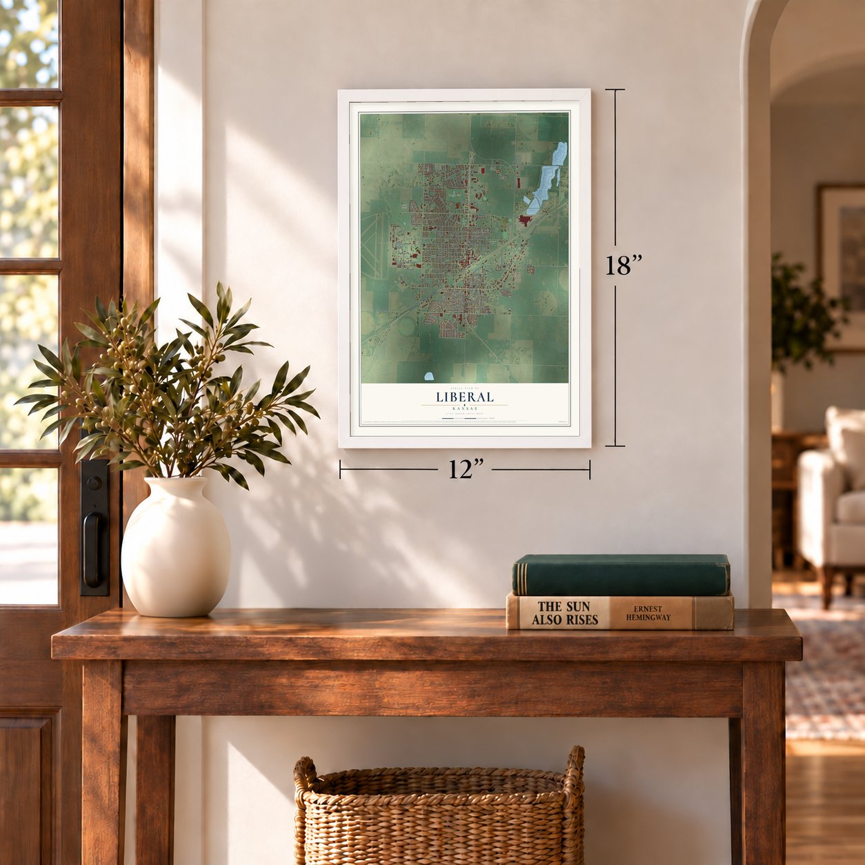
12" x 18" Archival Matte Print
A Map of Home. A Work of Art.
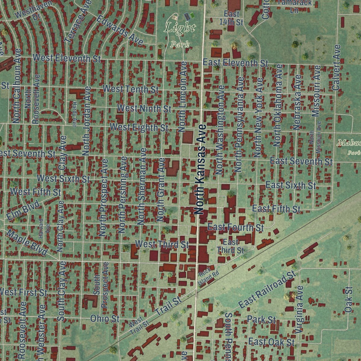
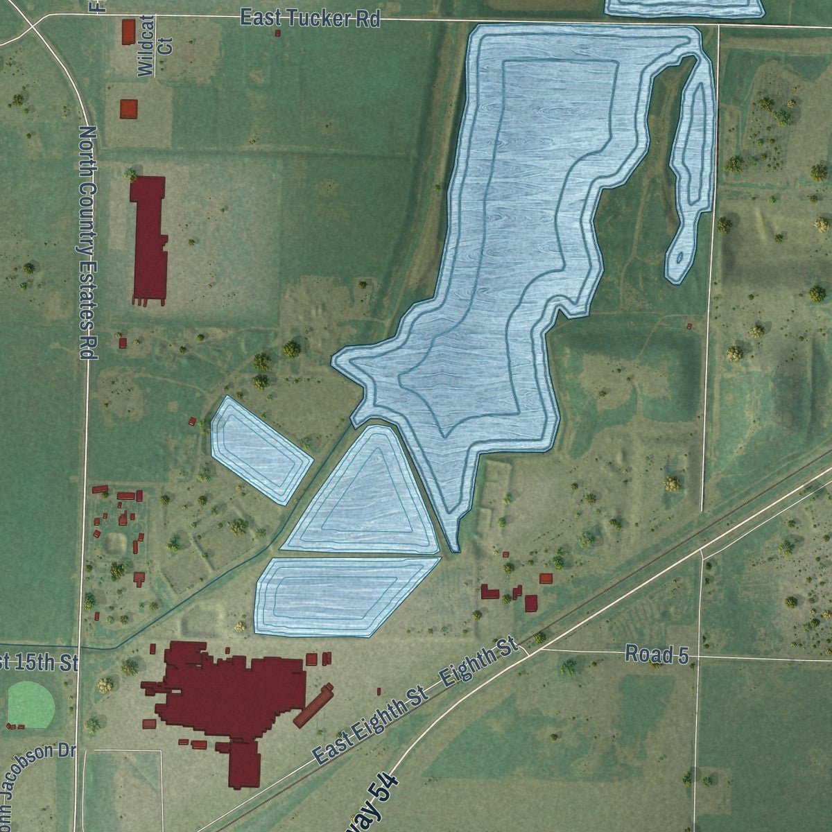
Explore Liberal, Kansas from a whole new perspective. Created using aerial imagery and detailed geographic data, this map captures Liberal building by building, with labeled streets, familiar landmarks, and shaded topographical relief that highlights the natural contours of the landscape.
Combining modern data with the timeless character of a vintage atlas, this map is just as interesting up close as it is beautiful on the wall. Whether you grew up in Liberal, spent memorable years there, or call it home today, this unique map is a great way to celebrate a place that means something to you. Zoom in on the preview to look for your street, and then order a print to put your memories on the wall.
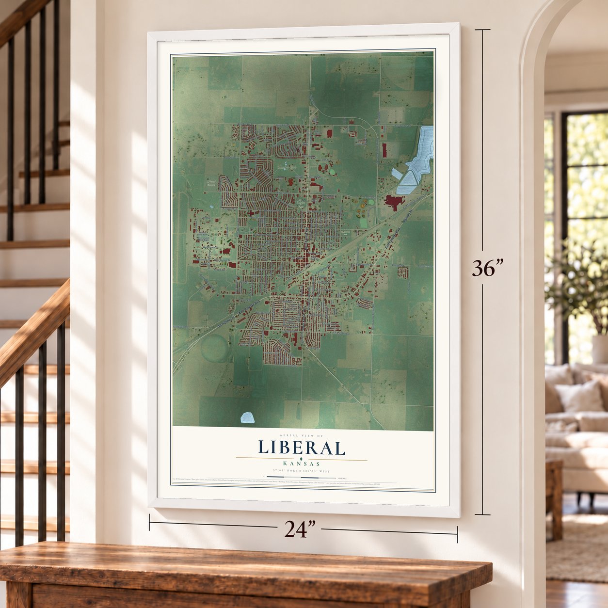
Three ways to hang it
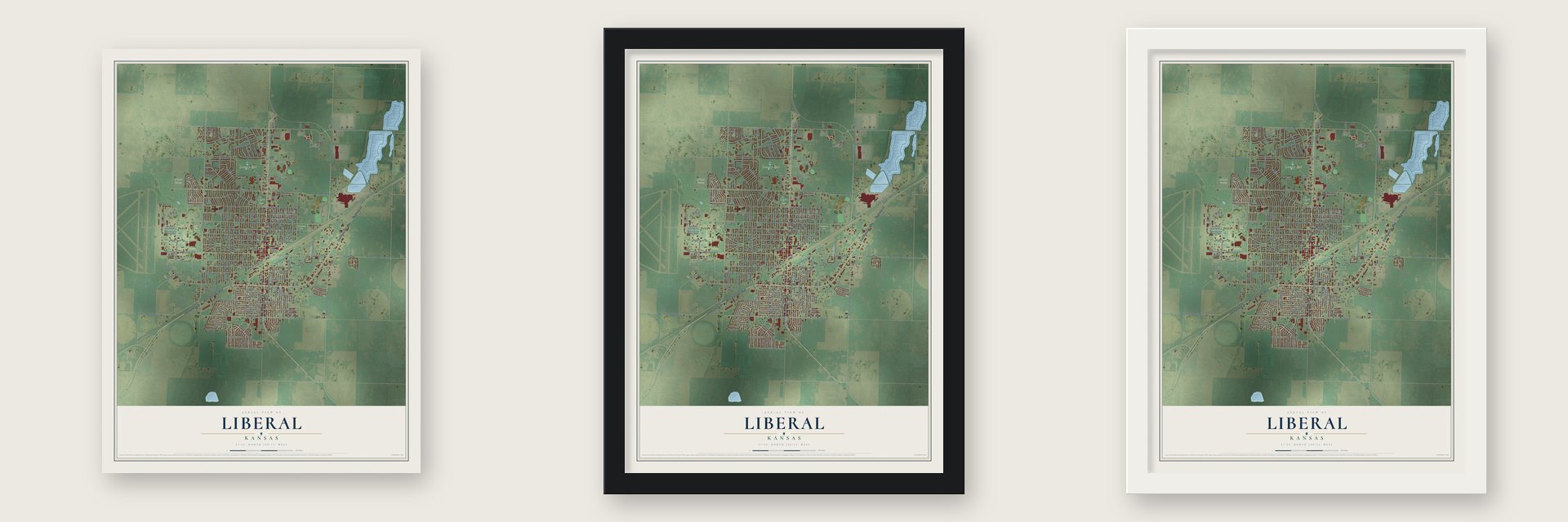
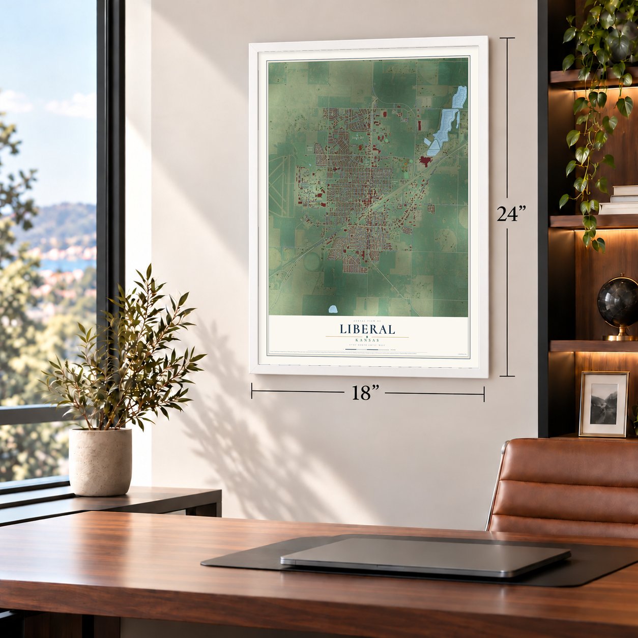
Unframed archival matte, a black wood frame or a white wood frame.
Up close
Geography Worth Displaying
This map was created using accurate cartographic data and authoritative geographic sources, including the U.S. Geological Survey and the Census Bureau. The map brings together terrain, waterways, roads, and building detail. The majority of the streets are labeled, houses are accurately depicted, and the topography is derived from government sources. Combining local data with carefully composed color and shading leads to this beautifully detailed Liberal artwork for your wall.
Rather than simply showing street outlines, we’ve included as many of the street names as we could reasonably fit on the map while keeping their names legible. Zoom in on the high resolution preview to see exactly what’s on the map. We truly set out to create a statement piece for anyone who loves Liberal. So whether it’s for you, or a gift for someone you love, we hope this map of Liberal brings back fond memories.
Read the story behind this map of Liberal, Kansas from 2026.
About Liberal, Kansas
Liberal is a city of 19,825 people and the county seat of Seward County, in southwestern Kansas near the Oklahoma line. Seymour S. Rogers, the first homesteader here, built the first house in 1872. He became known across the region for his kindness to thirsty travelers. The story goes that the town's name came from their usual reply: "That's very liberal of you."
In 1885 Rogers opened a general store that also held a U.S. post office, and he gave the post office the name Liberal. A railroad was built close by, so a town site was planned in 1888, and a year later about 800 people lived there. Drought drove some farmers away, and others left for cheap land when nearby Indian Territory opened to settlers. Natural gas was found west of town in 1920, in what became the Panhandle-Hugoton Gas Field. Oil turned up southwest of town in 1951, and in 1963 National Helium opened the world's largest helium plant here.
“Outside of the Cimarron River water was very scarce in southwestern Kansas and there was usually a charge for even a small amount. Mr. Rogers always gave away his water freely to passing travelers.”
- The Pancake Day raceEvery year Liberal runs its Pancake Day race in competition with Olney, in the United Kingdom, and the two towns compare times to see which one ran faster.
- Dorothy's house in KansasThe Land of Oz exhibit recreates Dorothy Gale's house and the Yellow Brick Road. Some of its donated bricks bear famous names: Liza Minnelli, Judy Garland's daughter, is there, along with Bob Dole and the Reagans, Ronald and Nancy. Linda Windler built the exhibit for Topeka in 1981 and moved it to Liberal eleven years later.
- More than one hundred aircraftGeneral Tom Welch Jr. gave fifty planes to start the Mid-America Air Museum. It now holds more than one hundred aircraft, the country's fifth largest collection of military and civilian planes.
- Coronado came through in 1541The Coronado Museum keeps objects left by the Native Americans who lived in the area and from Francisco Vásquez de Coronado's expedition of 1541. It also tells the story of farming and ranching in the county.
- The Liberal Bee JaysThe town's semi-professional baseball team has won five national championships and 13 state titles. Three major league managers have coached the Bee Jays, and 165 of their players have gone on to the major leagues.
Find your street
Names on the Liberal map
Every name below is printed on this map. Look for your street, your school, the park where you played, or the pond down the road.
Places and landmarks4
- Liberal Cemetery
- Light Park
- Mahuron Park
- Country Club
Streets and roads211
- North Kansas Avenue
- South Kansas Avenue
- East Pancake Boulevard
- West Pancake Boulevard
- Highway 54
- Old Highway 54
- West Second Street
- South Country Estates Road
- East Pine Street
- West Pine Street
- South Western Avenue
- Terminal Avenue
- East Second Street
- North Country Estates Road
- East 18th Street
- Highway 83
- Bluebell Road
- North Western Avenue
- Second Street
- North Grant Avenue
- North Jordan Avenue
- Maple Boulevard
- East Walnut Street
- East Tucker Road
- North Lincoln Avenue
- North Pershing Avenue
- Frontage Road
- General Welch Boulevard
- East Fifth Street
- North Tulane Avenue
Show all 211 streets
- West Second Saint Road
- Countryside Drive
- East Fourth Street
- 20th Street
- East Eighth Street
- South Pershing Avenue
- North Calhoun Avenue
- West 15th Street
- South Clay Avenue
- West Eighth Street
- West Seventh Street
- West Eleventh Street
- West Tucker Road
- West Fourth Street
- North New York Avenue
- East Cedar Street
- South Washington Avenue
- West First Street
- South Calhoun Avenue
- North Prospect Avenue
- North Carlton Avenue
- South Cain Avenue
- East 15th Street
- South Pennsylvania Avenue
- West Tenth Street
- West Fifth Street
- West Sixth Street
- Luck Road
- East Seventh Street
- Stadium Avenue
- West Third Street
- East Oak Street
- Lilac Drive
- North Cain Avenue
- South Holly Drive
- Ohio Street
- Virginia Avenue
- West Walnut Street
- Industrial Park Avenue
- North Purdue Avenue
- Calvert Avenue
- North Sherman Avenue
- North Washington Avenue
- Clay Avenue
- Sycamore Street
- South Jordan Avenue
- South Grant Avenue
- Airpark Avenue
- Harold Boulevard
- South Roosevelt Avenue
- North Pennsylvania Avenue
- North Oklahoma Avenue
- Nebraska Avenue
- South Webster Avenue
- South Lincoln Avenue
- Road 4
- South Street
- West Ninth Street
- Bellaire Avenue
- Missouri Avenue
- South Sherman Avenue
- East Spruce Street
- Coolidge Street
- Locke Street
- Seward Avenue
- Larrabee Road
- East Eleventh Street
- East Sixth Street
- Nelson Avenue
- North Holly Drive
- South Parkway Boulevard
- Road 5
- East Railroad Street
- Elm Boulevard
- Terrace Avenue
- Eighth Street
- Cottonwood Lane
- Fitzgerald Road
- Fairview Avenue
- Sunflower Boulevard
- Koochel Lane
- Zinnia Lane
- Shook Avenue
- Violet Lane
- Edwards Avenue
- Trail Street
- Jewell Avenue
- Canna Lane
- Wind Ridge Drive
- Norwood Avenue
- Oak Street
- Fairground Lane
- Charles Street
- Cornell Avenue
- Park Street
- Rose Lane
- West 20th Street
- Windsor Lane
- McCray Boulevard
- State Street
- Hancock Street
- Tenth Street
- Apollo Street
- Ninth Street
- Tulip Lane
- George Avenue
- Birch Street
- Nevada Drive
- Navajo Road
- First Street
- Beech Street
- Hale Court
- Seventh Street North
- West Seventh Street South
- Warren Avenue
- North Roosevelt Avenue
- South New York Avenue
- North Webster Avenue
- North Clay Avenue
- Westhaven Drive
- South Oklahoma Avenue
- West Ohio Street
- Sierra Drive
- West Spruce Street
- John Jacobson Drive
- West Curtis Street
- Wilson Street
- Hoover Street
- Parkway Boulevard
- Long Avenue
- Starlight Drive
- Commercial Avenue
- Centennial Boulevard
- Mission Boulevard
- South Prospect Avenue
- East Curtis Street
- Country Club Drive
- Ridge Road
- South Purdue Avenue
- Forrest Avenue
- Tamarack Lane
- Arlington Drive
- Mustang Drive
- Cheyenne Road
- Poplar Street
- Armory Avenue
- Cortez Street
- East 14th Street
- Aster Lane
- East Third Street
- West 23rd Street
- Tulane Court
- Zeigler Avenue
- Fairway Drive
- Cain Court
- Wildcat Court
- Clay Court
- Hotel Drive
- West 21st Street
- West Hickory Street
- West Trail Street
- Carlton Avenue
- Jerry Street
- Dahlia Lane
- Balboa Street
- Lisa Lane
- Chance Road
- North Missouri Avenue
- Sunset Avenue
- Palo Verde Drive
- Harvard Avenue
- Krause Court
- Hardy Avenue
- North Calvert Avenue
- Rock Island Road
- Millwood Avenue
- Marcellus Lane
- Medical Drive
- Freeman Street
- Nick Avenue
- Tucker Court
Names are listed as they appear on the printed map. Zoom into the product photos to find them.
The art of mapping a place
How This Map Was Made
Real places. Remarkable detail. Discover the layers that turn geographic data into a map of home.

The view from above
Aerial imagery reveals the character of the land: woodland, open fields, and the patterns of a place.

The shape of the land
Elevation data brings hills, valleys, and subtle changes in the landscape into view.

The details of home
Roads, waterways, and building footprints come together to make the map feel unmistakably local.

Geography becomes art
Considered color, shading, and typography bring the layers together in a map made for your wall.


Process illustrated with Mendon, Massachusetts. Aerial imagery: USDA NAIP. Terrain: USGS 3D Elevation Program. Map details and finished artwork: KNOWOL.
The Details
About This Print
Choose an archival matte print, or a black or white Ayous wood frame. The archival matte print is unframed.
Select your size and finish above to see the matching product image and price.
Materials & Craftsmanship
A contemporary map with the character of a classic atlas, printed on archival matte paper. Optional frames are made from Ayous wood.
Your printed map does not include the watermark shown in the full-map preview.
Shipping & Delivery
Free shipping within the United States. Every print is made to order in the USA.
Buying a gift? Add a note in your cart and we'll include it. We never put prices in the package.
Prints ship within 2 to 3 business days. Allow 7 to 10 days total from ordering for delivery. Timing may vary during holidays or periods of high order volume.
Read our shipping policy.
Returns and damaged prints
Each print is made to order. Change-of-mind refunds are not available after production.
If your print arrives damaged, misprinted or incorrect, contact support@knowol.com within 30 days of receiving it. Include your order number, photos and a description of the issue.
Read our full refund and replacement policy. For questions about your order, email support@knowol.com.
Find your town
Looking for another city?
Find a map of home in our Kansas collection, or any town in the country.
Nearby
Maps of towns near Liberal
Know someone from one of these towns? Their map makes a great gift.
 Kismet
, Kansas
From $39.99See the map
 Plains
, Kansas
From $39.99See the map
 Hugoton
, Kansas
From $39.99See the map
More maps nearby: Moscow, Satanta, Sublette, Meade and Copeland.