
Search for another town





Free U.S. delivery 7 to 10 days after you order
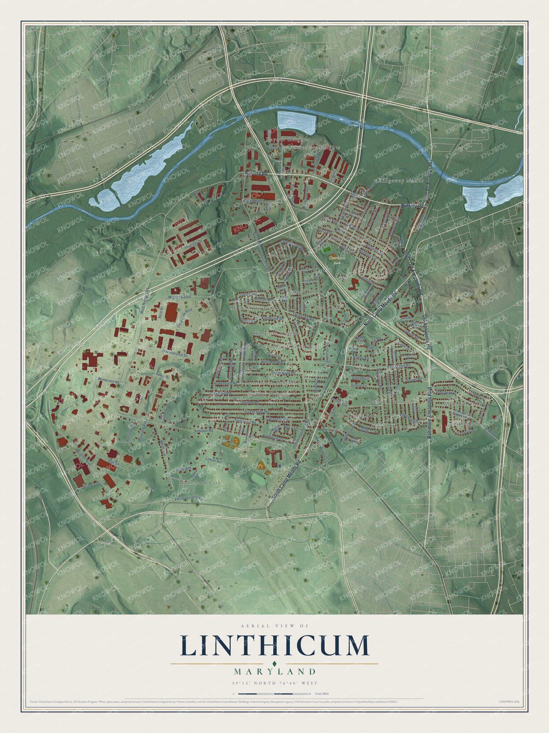
Linthicum, Maryland Map Art
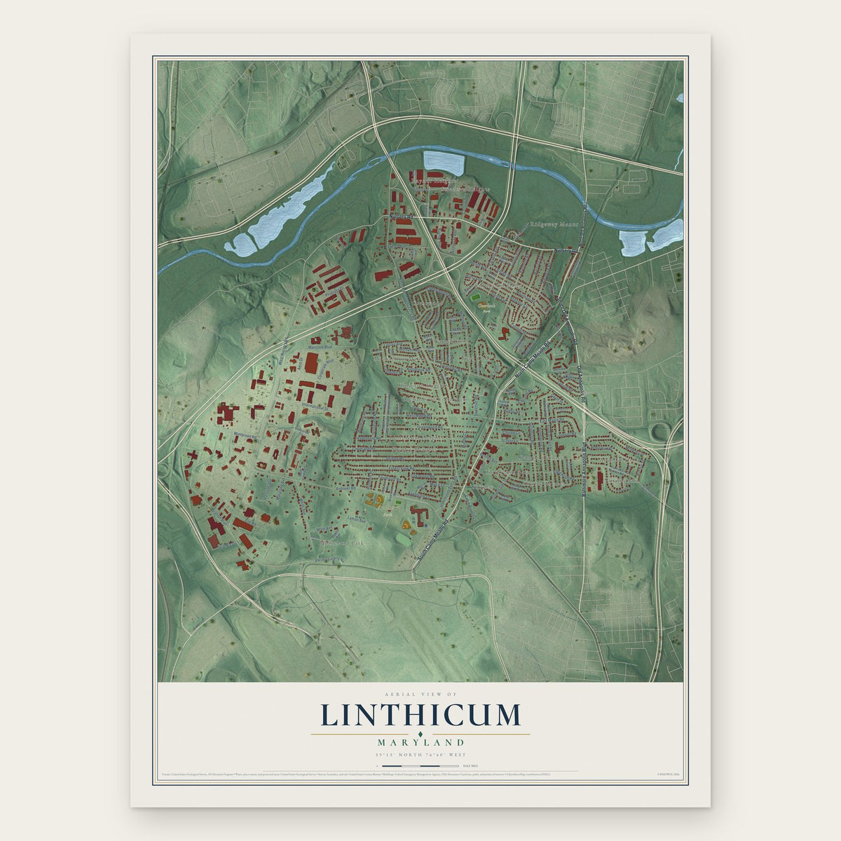
Building by building, with labeled streets and shaded relief.
12" x 18" Archival Matte Print
A Map of Home. A Work of Art.
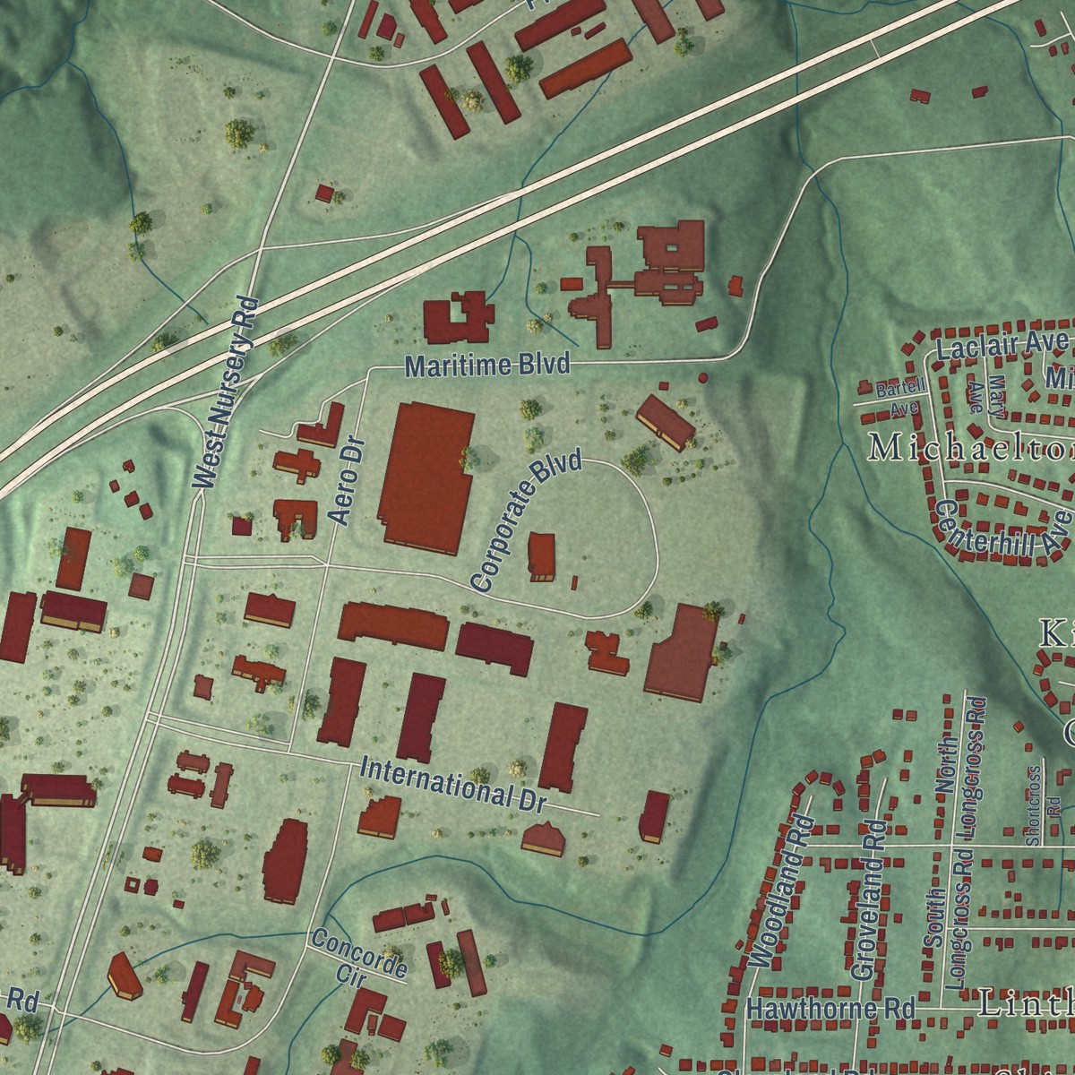
Explore Linthicum, Maryland from a whole new perspective. Created using aerial imagery and detailed geographic data, this map captures Linthicum building by building, with labeled streets, familiar landmarks, and shaded topographical relief that highlights the natural contours of the landscape.
Combining modern data with the timeless character of a vintage atlas, this map is just as interesting up close as it is beautiful on the wall. Whether you grew up in Linthicum, spent memorable years there, or call it home today, this unique map is a great way to celebrate a place that means something to you. Zoom in on the preview to look for your street, and then order a print to put your memories on the wall.
Three ways to hang it
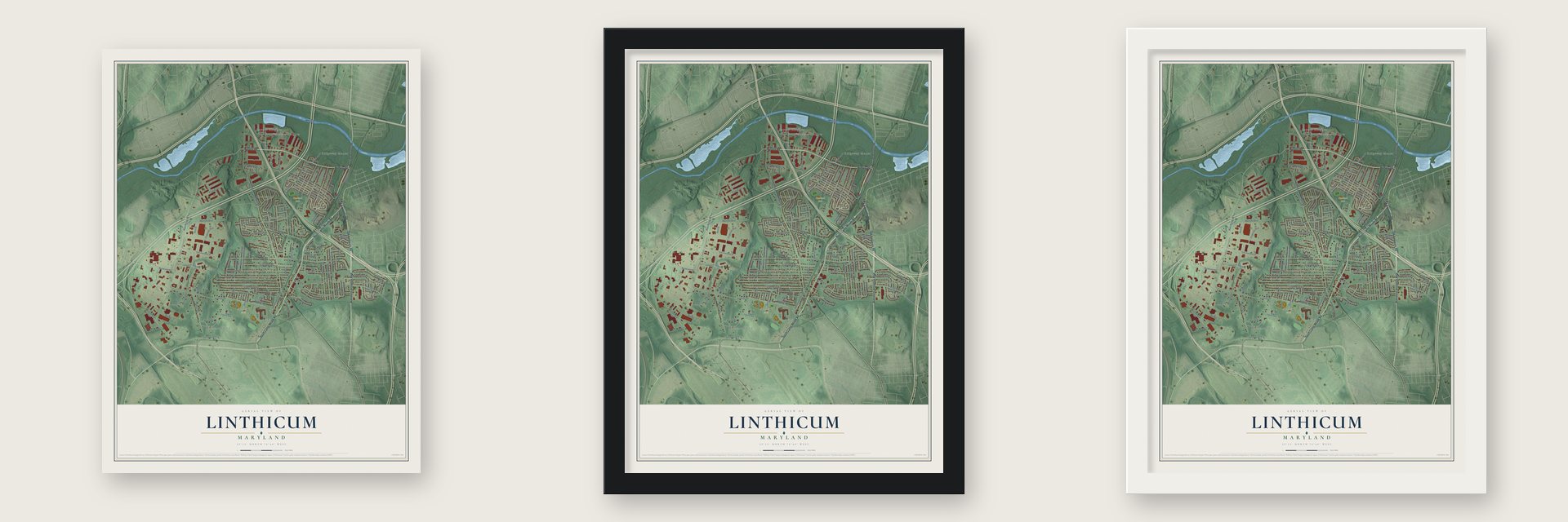
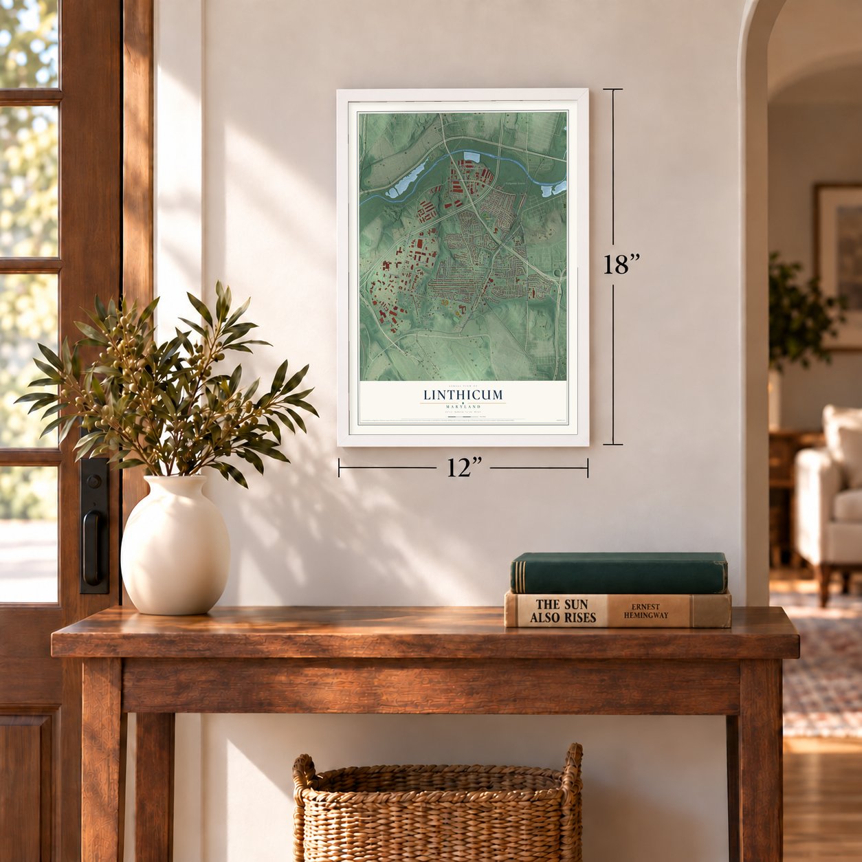
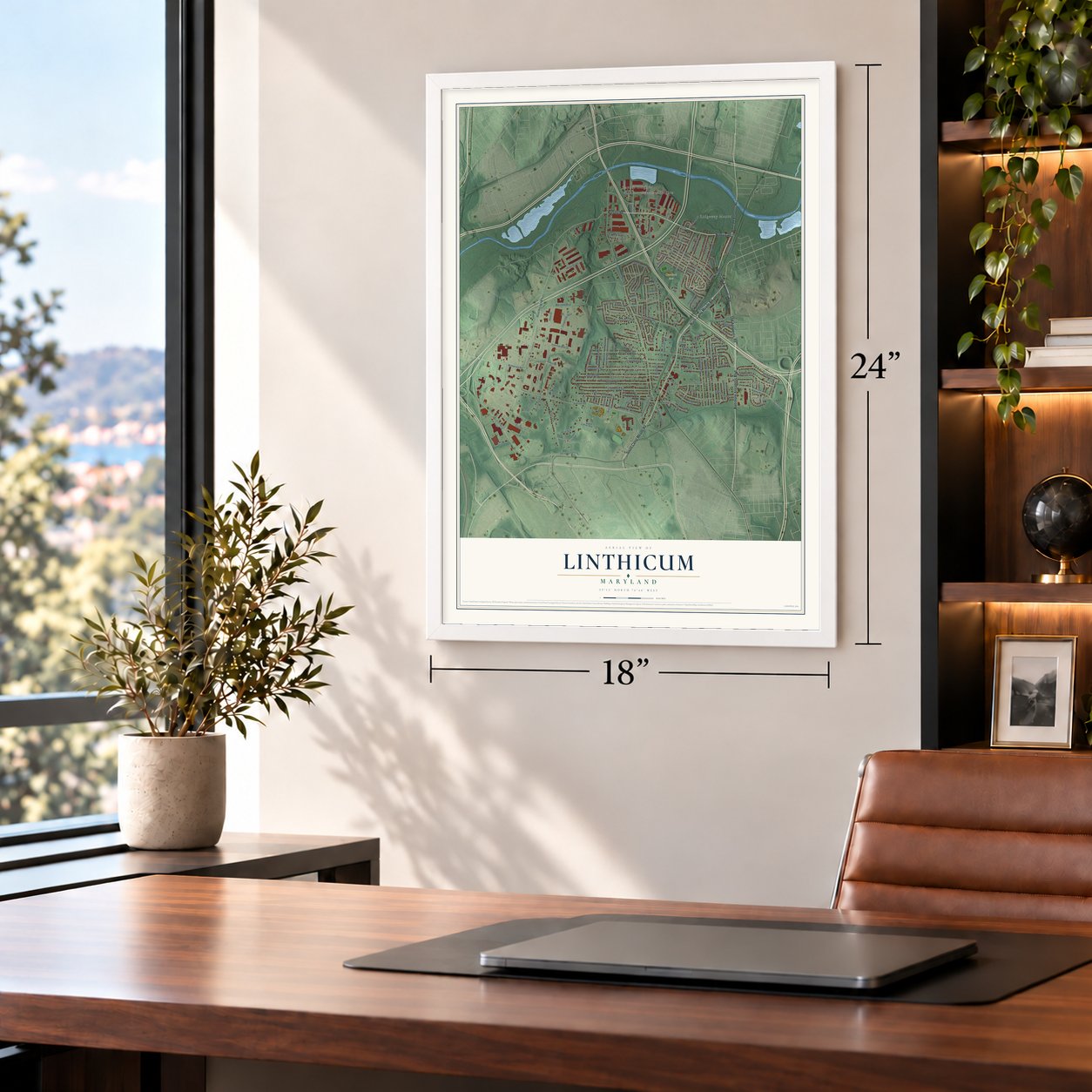
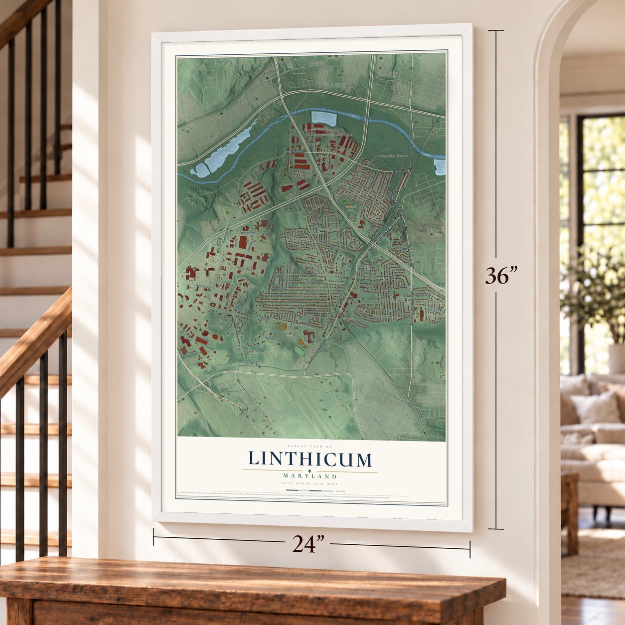
Unframed archival matte, a black wood frame or a white wood frame.
Up close
Geography Worth Displaying
This map was created using accurate cartographic data and authoritative geographic sources, including the U.S. Geological Survey and the Census Bureau. The map brings together terrain, waterways, roads, and building detail. The majority of the streets are labeled, houses are accurately depicted, and the topography is derived from government sources. Combining local data with carefully composed color and shading leads to this beautifully detailed Linthicum artwork for your wall.
Rather than simply showing street outlines, we’ve included as many of the street names as we could reasonably fit on the map while keeping their names legible. Zoom in on the high resolution preview to see exactly what’s on the map. We truly set out to create a statement piece for anyone who loves Linthicum. So whether it’s for you, or a gift for someone you love, we hope this map of Linthicum brings back fond memories.
Read the story behind this map of Linthicum, Maryland from 2026.

Find your street
Names on the Linthicum map
Every name below is printed on this map. Look for your street, your school, the park where you played, or the pond down the road.
Places and landmarks21
- Andover Park
- Overlook Park
- Shirley Estates
- Sweetser Heights
- Michaelton Manor
- Arundel Hills
- Shipley Heights
- Homeland Park
- Twin Oaks
- Crestwood
- Orchards of Linthicum
- Ridgeway Manor
Show all 21 places
- Shipley
- Nottingham
- Kingston Heights
- Linthicum Hills
- Raynor Heights
- Benton Terrace
- Linthicum Oaks
- Gapgalleon
- Linthicum Heights
Streets and roads138
- Baltimore Annapolis Boulevard
- Nursery Road
- North Camp Meade Road
- Old Annapolis Road
- South Old Annapolis Road
- South Camp Meade Road
- West Nursery Road
- East Maple Road
- Andover Road
- Aviation Boulevard
- Eleanor Avenue
- North Hammonds Ferry Road
- Maritime Boulevard
- Winterson Road
- Corporate Boulevard
- Hammonds Ferry Road
- West Maple Road
- Shipley Road
- Hawthorne Road
- Cleveland Road
- Forest View Road
- Medora Road
- Homewood Road
- Greenwood Road
- Hampton Road
- International Drive
- Mansion Road
- Twin Oaks Road
- Main Avenue
- Charles Road
Show all 138 streets
- Sycamore Road
- Cheddington Road
- McHenry Drive
- Edgewood Road
- Regency Circle
- White Avenue
- Armistead Street
- School Lane
- Colonial Drive
- Fairmount Road
- Progress Drive
- Benton Avenue
- Patapsco Road
- Aero Drive
- Music Lane
- Groveland Road
- Oak Grove Road
- Woodland Road
- Coronet Drive
- Kingbrook Road
- Golden Oak Drive
- Koch Road
- Evelyn Avenue
- Mountain Road
- Lynvue Road
- Applegate Court
- Linda Avenue
- Church Circle
- Elm Road
- Laclair Avenue
- Harrison Avenue
- Wedeman Avenue
- Cabin Branch Lane
- Raynor Avenue
- Chestnut Road
- Sweetser Road
- Michael Avenue
- Gayle Drive
- Hilltop Road
- Central Avenue
- Centerhill Avenue
- Science Drive
- Ritchie Street
- Terrace Road
- Maryland Avenue
- Matilda Lane
- Lyman Avenue
- Heath Avenue
- Middle Court
- Juniper Road
- North Old Annapolis Road
- Elkridge Landing Road
- Oregon Avenue
- Furnace Branch Road
- South Orchard Road
- Sudbury Road
- Brentwood Road
- Nancy Avenue
- Fairview Avenue
- Hillview Drive
- Darlene Avenue
- Madingley Road
- Silky Oak Court
- Tulip Oak Court
- John Avenue
- Lake Front Drive
- North Orchard Road
- First Avenue
- South Longcross Road
- Buck Cavey Lane
- Wooddale Road
- Downs Avenue
- North Longcross Road
- Torquay Reach
- Laura Avenue
- Grove Ridge Court
- Susan Court
- Oak Twin Court
- Edward Avenue
- Murray Road
- Helen Avenue
- Concorde Circle
- Laurel Road
- Valley Road
- George Avenue
- Sarah Avenue
- Babet Way
- West Furnace Branch Road
- Linthicum Lane
- Saint Phillips Road
- Pampano Drive
- Hance Avenue
- Dogwood Road
- Bank Street
- Jerlyn Avenue
- Viewing Avenue
- Greentree Road
- Barkwood Court
- Mary Avenue
- Chestnut Oak Lane
- Jerome Avenue
- Boulevard Place
- Warren Avenue
- Englewood Road
- Elkins Street
- Shortcross Road
- Bartell Avenue
- Agnes Lane
Names are listed as they appear on the printed map. Zoom into the product photos to find them.
About Linthicum, Maryland
Linthicum is a community of 11,190 people in Anne Arundel County, just north of the Baltimore and Washington airport. It takes its name from the Linthicum family, which became the area's main landowner after Abner Linthicum bought land here in 1801. The area began as truck farming country, and by 1889 a station called Linthicum stood on the Annapolis and Baltimore Short Line, a railroad opened in 1887.
Sweetser Linthicum Sr. died in 1905, and several of his sons decided to turn part of the land they inherited into home sites for commuters. In June 1908 they organized the Linthicum Heights Realty Company and put up a small sales office at the northwest corner of Maple and Catalpa Roads. They laid out the first lots on a hill east of the tracks, above Old Annapolis Road, where every passing train could see them.
- A church on Abner's landAbner Linthicum donated three quarters of an acre in 1831, and on it his neighbors built the Associated Methodist Church of Holly Run. Before that, local families had held services in private homes or traveled several miles to reach other churches.
- Two stations, 100 feet apartThe company painted the words Linthicum Heights in large white letters across the side of its office roof that faced the tracks. Buyers soon had two fast electric interurban lines with stations less than 100 feet apart, and no other suburb south of Baltimore could offer commuters that. Baltimore and Annapolis trains served the town from 1887 until February 1950.
- Split by the Beltway in 1957When the Baltimore Beltway was built through in 1957, it divided the community in two. Linthicum and North Linthicum each kept a community association and an identity of its own, and both had grown up beside the Short Line tracks that first brought commuters to the farms.
Keep exploring Maryland
Linthicum is one of 874 Maryland towns we've mapped. Every dot on the map is a print of its own.
The search covers every state, Maryland first.
Near Linthicum
Order 2 or more town maps and save 10%. Shown in the size and finish you picked above, so they hang as a set.
- Lansdowne 12" x 18" / Archival Matte Print $39.99
- Arundel Gardens 12" x 18" / Archival Matte Print $39.99
- Ferndale 12" x 18" / Archival Matte Print $39.99


More maps nearby: Brooklyn Park, Arbutus, Lakeland, Cherry Hill and Brooklyn.
The art of mapping a place
How This Map Was Made
Real places. Remarkable detail. Discover the layers that turn geographic data into a map of home.

The view from above
Aerial imagery reveals the character of the land: woodland, open fields, and the patterns of a place.

The shape of the land
Elevation data brings hills, valleys, and subtle changes in the landscape into view.

The details of home
Roads, waterways, and building footprints come together to make the map feel unmistakably local.

Geography becomes art
Considered color, shading, and typography bring the layers together in a map made for your wall.


Process illustrated with Mendon, Massachusetts. Aerial imagery: USDA NAIP. Terrain: USGS 3D Elevation Program. Map details and finished artwork: KNOWOL.
The Details
About This Print
Choose an archival matte print, or a black or white Ayous wood frame. The archival matte print is unframed.
Select your size and finish above to see the matching product image and price.
Materials & Craftsmanship
A contemporary map with the character of a classic atlas, printed on archival matte paper. Optional frames are made from Ayous wood.
Your printed map does not include the watermark shown in the full-map preview.
Shipping & Delivery
Free shipping within the United States. Every print is made to order in the USA.
Buying a gift? Add a note in your cart and we'll include it. We never put prices in the package.
Prints ship within 2 to 3 business days. Allow 7 to 10 days total from ordering for delivery. Timing may vary during holidays or periods of high order volume.
Read our shipping policy.
Returns and damaged prints
Each print is made to order. Change-of-mind refunds are not available after production.
If your print arrives damaged, misprinted or incorrect, contact support@knowol.com within 30 days of receiving it. Include your order number, photos and a description of the issue.
Read our full refund and replacement policy. For questions about your order, email support@knowol.com.