
Search for another town




Free U.S. delivery 7 to 10 days after you order
Livingston, Alabama Map Art
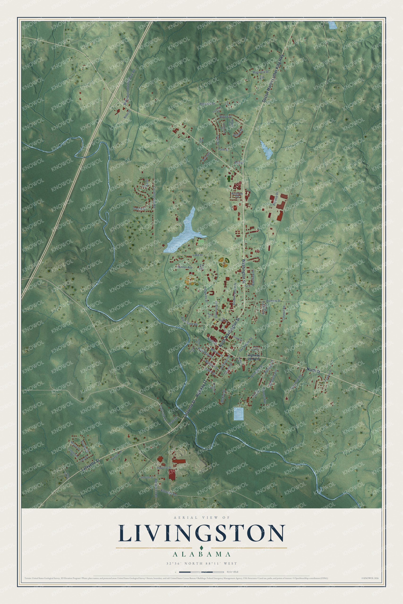
A new map of Livingston, Alabama, made in 2026 and printed to order on thick archival matte paper.
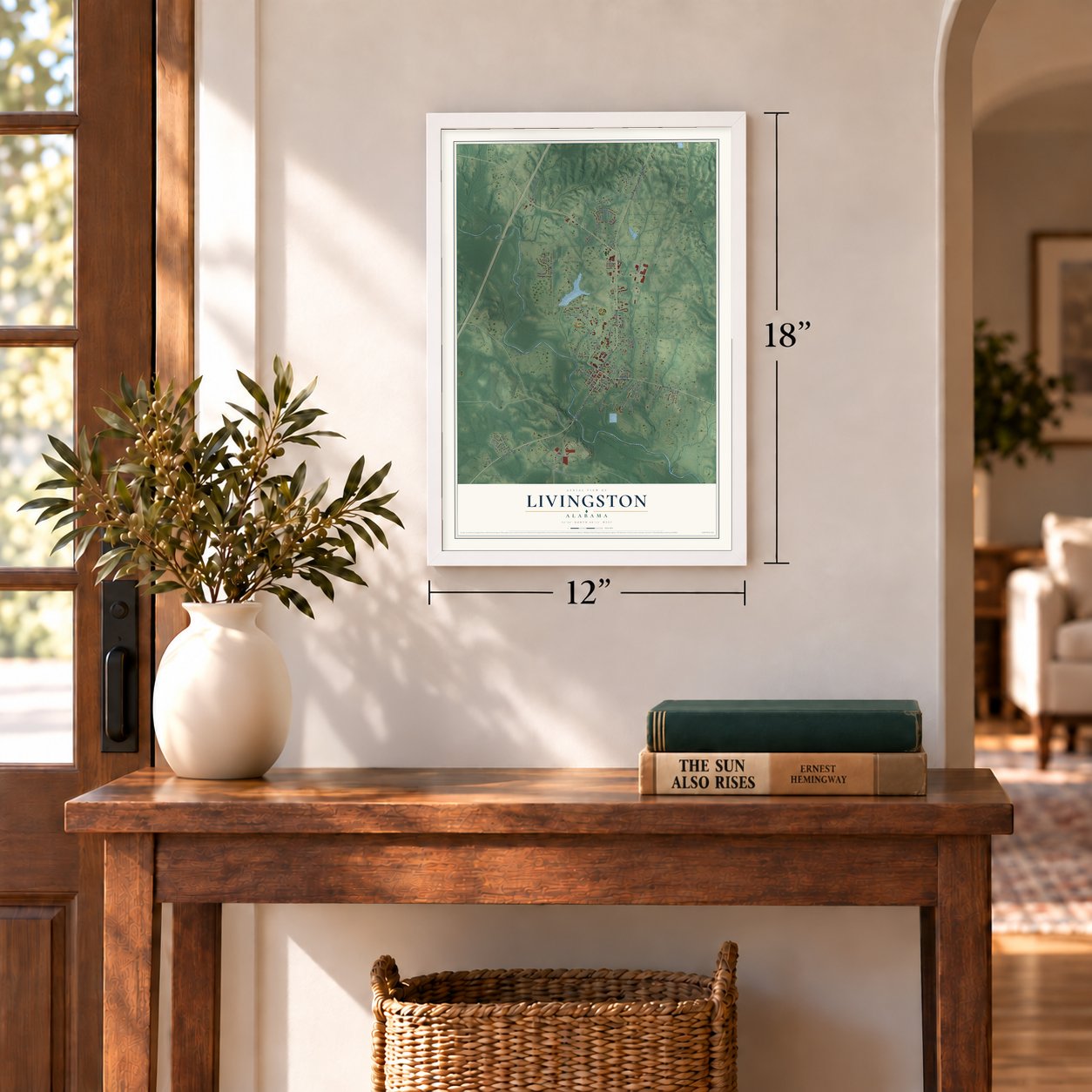
12" x 18" Archival Matte Print
A Map of Home. A Work of Art.
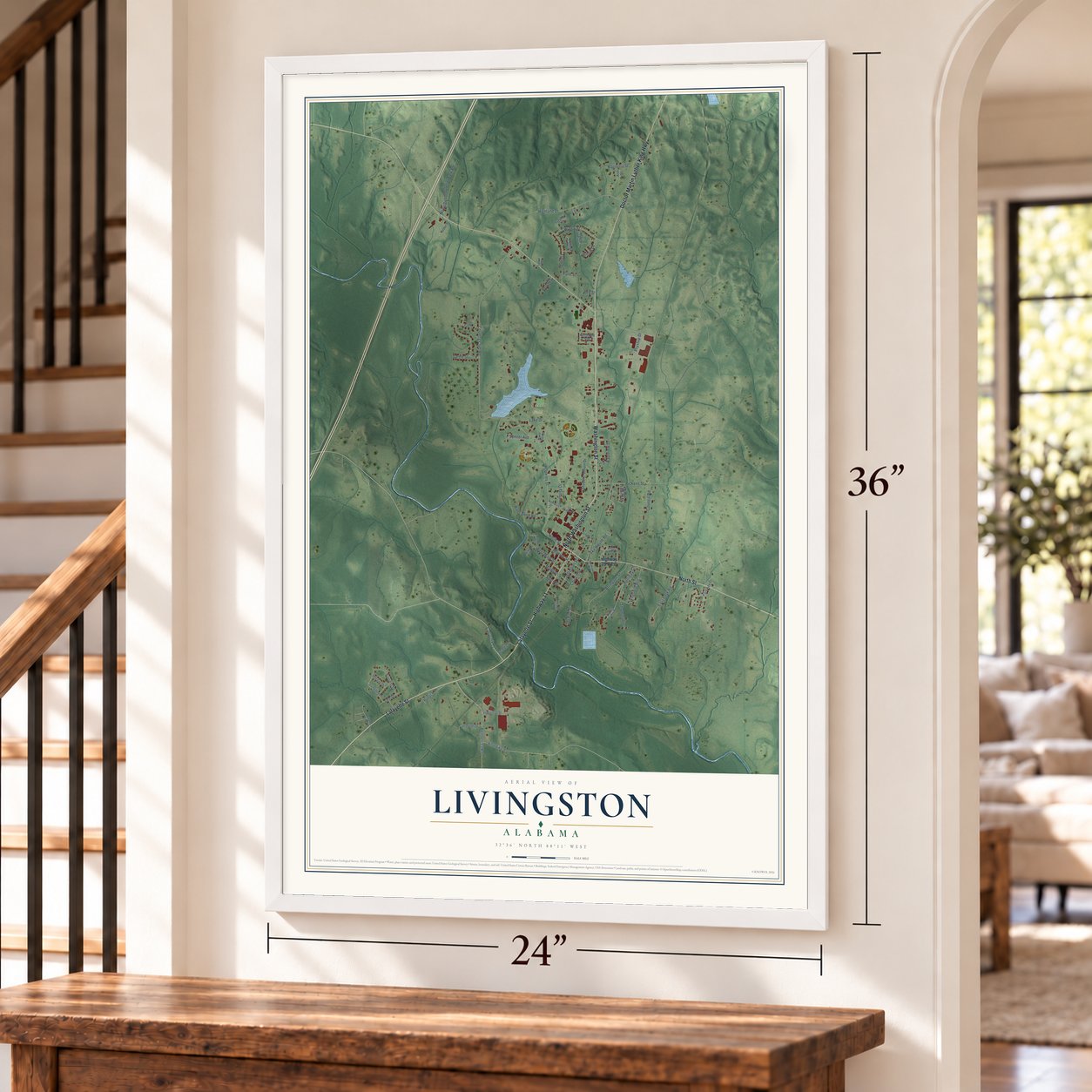
Explore Livingston, Alabama from a whole new perspective. Created using aerial imagery and detailed geographic data, this map captures Livingston building by building, with labeled streets, familiar landmarks, and shaded topographical relief that highlights the natural contours of the landscape.
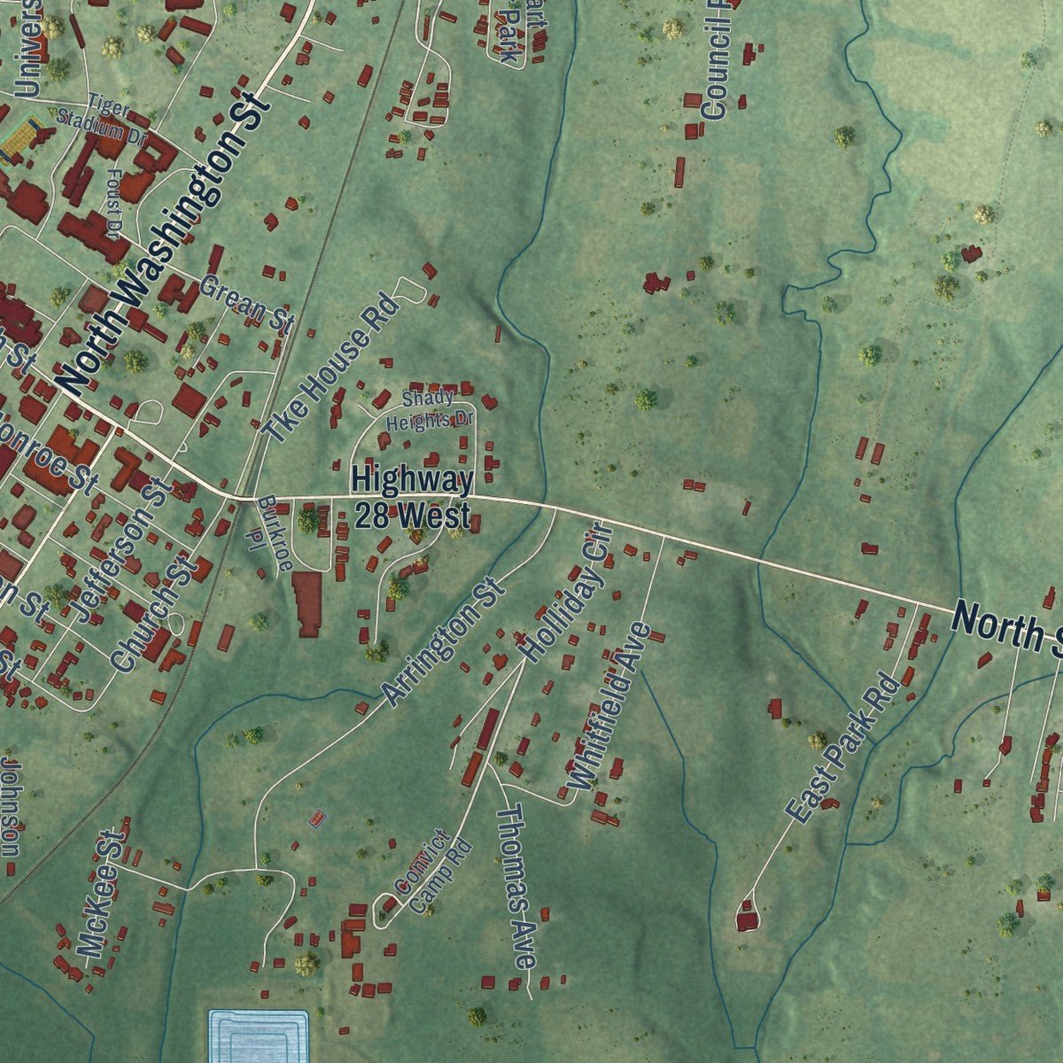
Combining modern data with the timeless character of a vintage atlas, this map is just as interesting up close as it is beautiful on the wall. Whether you grew up in Livingston, spent memorable years there, or call it home today, this unique map is a great way to celebrate a place that means something to you. Zoom in on the preview to look for your street, and then order a print to put your memories on the wall.
Three ways to hang it
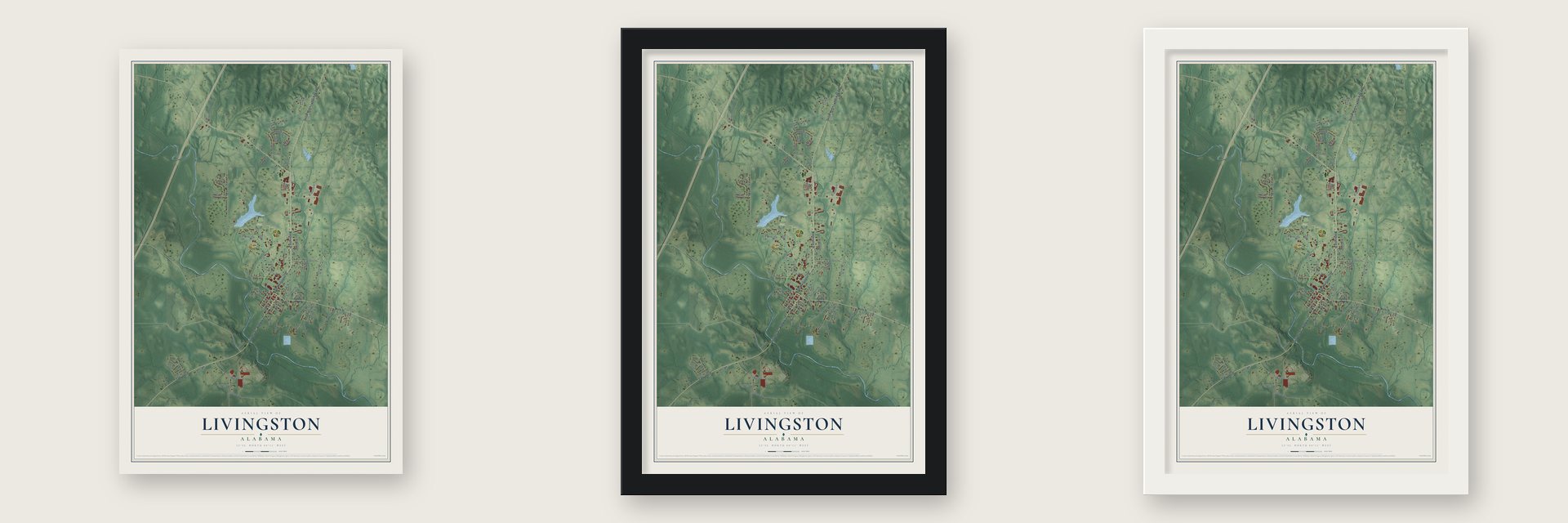
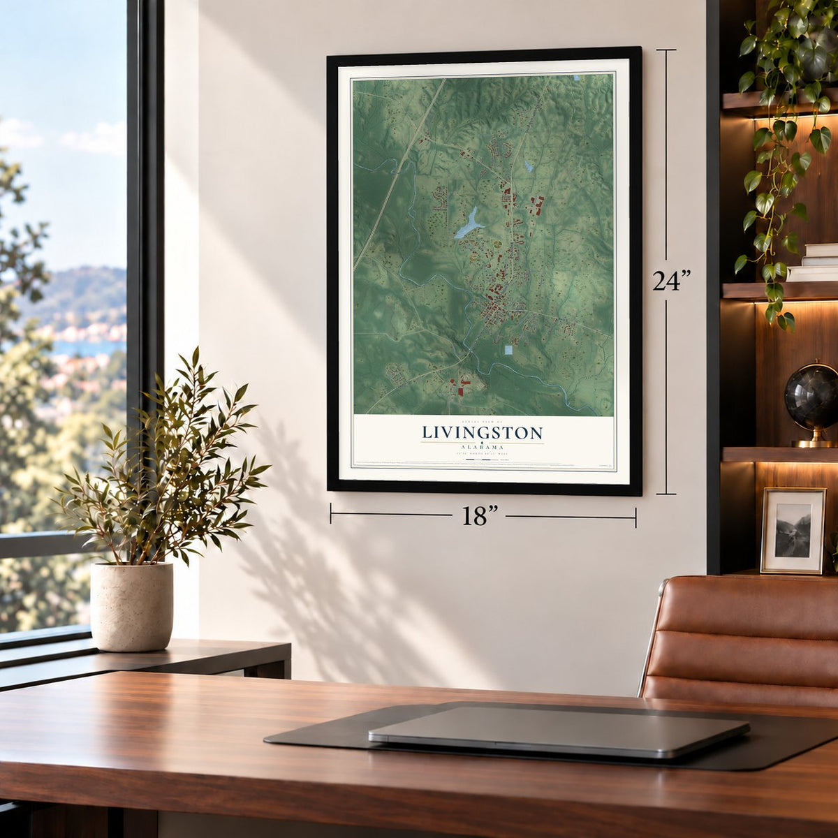
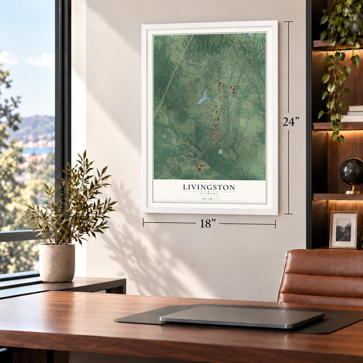
Unframed archival matte, a black wood frame or a white wood frame.
Up close
Geography Worth Displaying
This map was created using accurate cartographic data and authoritative geographic sources, including the U.S. Geological Survey and the Census Bureau. The map brings together terrain, waterways, roads, and building detail. The majority of the streets are labeled, houses are accurately depicted, and the topography is derived from government sources. Combining local data with carefully composed color and shading leads to this beautifully detailed Livingston artwork for your wall.
Rather than simply showing street outlines, we’ve included as many of the street names as we could reasonably fit on the map while keeping their names legible. Zoom in on the high resolution preview to see exactly what’s on the map. We truly set out to create a statement piece for anyone who loves Livingston. So whether it’s for you, or a gift for someone you love, we hope this map of Livingston brings back fond memories.
Read the story behind this map of Livingston, Alabama from 2026.

About Livingston, Alabama
Livingston is a city of 3,436 people and the seat of Sumter County, in west-central Alabama on the Sucarnoochee River. This was Choctaw land until September 27, 1830, when it passed to the United States under the Dancing Rabbit Creek treaty, and settlers soon moved in, most of them from North Carolina. In 1833 a commission organized Sumter County and picked Livingston as its seat. The town was named for the statesman and jurist Edward Livingston.
Water decided where the first families lived. With no supply close at hand, most of them built near the natural springs along what is now Spring Street, until an artesian well on Courthouse Square, the Bored Well, gave the town water of its own. For much of the late nineteenth century, visitors came to drink from it for their health, and promoters raised a Chinese-styled pagoda over it. In 1924 the pagoda gave way to the forerunner of today's pavilion.
“This well was bored by an old blind mule that pulled an auger around until an artesian aquifer was reached in 1857.”
- A courthouse rebuilt in 1902Sumter County's first courthouse was a log building at Spring and Chapman Streets, now West Main. A frame courthouse replaced it in 1839 and stood until fire destroyed it in 1901. Only the probate judge's office came through, and it now holds the county commission office. The foundation of the present building was laid on July 9, 1902, and the Sumter County Courthouse joined the National Register in 1972.
- Julia Tutwiler's schoolLivingston Female Academy opened on July 4, 1835. Julia S. Tutwiler, an educator, prison reformer and champion of schooling for women, became assistant president in 1881 and renamed it Livingston Normal School in 1886, when it trained teachers for Alabama's public schools. She lived at Lakewood, an 1840 mansion, while she led the school, and retired as president emeritus in 1910. The school grew into the University of West Alabama.
- Sam Houston came callingMatthew C. Houston, one of the town's founders and among its first storekeepers, built a house here around 1835 with a rare Anglo-Palladian front split into window, door and window. His cousin Sam Houston visited in 1845. Adolph Brown, who opened Livingston's first bank with his brother, later lived in it, and Charles C. Bailey owned it from the 1940s until 1975. A marker at 100 North Washington Street shows where it stood.
- A covered bridge from 1861In 1861 a covered bridge went up over the Sucarnoochee River, and in 1969 it was moved to the university campus. Cedarwood, a rare wood-framed house from 1818, was brought there from Greensboro. Every year the Sucarnochee Folklife Festival fills the town with pottery and quilting, storytelling and live music, a 5K run and a cornbread cook-off.
- All American finalist in 1972By the early 1960s Livingston was a quiet county seat that was losing people, so residents set out to revive it around its historic buildings and main street. The population nearly doubled within ten years as new industry and businesses arrived, and in 1972 The Saturday Evening Post's All American Cities Competition named Livingston a finalist.
Find your street
Names on the Livingston map
Every name below is printed on this map. Look for your street, your school, the park where you played, or the pond down the road.
Places and landmarks3
- Jaycee Park
- Tartt Field
- Stuart Trailer Park
Streets and roads75
- North Washington Street
- North Street
- Lafayette Street
- Doctor Martin Luther King Highway
- Washington Street
- Highway 11
- Holliday Circle
- Carl Turk 12
- Eastview Drive
- Hopkins Street
- University Drive
- Country Club Road
- Pickens Street
- Student Union Drive
- Arrington Street
- Bennett 13 Road
- Lake Drive
- Prystup Drive
- Highland Drive
- Daryle Street
- McDowell Industrial Park Road
- Tulip Street
- Jefferson Street
- River Bend Road
- Whitfield Avenue
- Willow Street
- Klondike Road
- East Park Road
- Monroe Street
- Forrest Drive
Show all 75 streets
- Magnolia Street
- South Street
- Madison Street
- West Main Street
- Church Street
- Tke House Road
- Thomas Avenue
- Council Road
- Lee Street
- Sumter Avenue
- Seale Drive
- Puzack Lane
- McKee Street
- Bell Avenue
- Willow Drive
- Palm Street
- Bell Street
- Highway 28 West
- Grean Street
- Northside Vlg
- Parkway Drive
- Morgan Drive
- Maple Circle
- Johnson Street
- Jemison Street
- Longstreet Drive
- Industrial Street
- Tucker Drive
- Nobel Street
- Ash Street
- Convict Camp Road
- Dogwood Street
- Astrid Street
- Upson Street
- Sycamore Street
- Tuxedo Street
- Burkroe Place
- North Hill Street
- Tower Road
- Tiger Stadium Drive
- Shady Heights Drive
- Pratt Street
- Yellow Creek Road
- Foust Drive
- Wood Circle
Names are listed as they appear on the printed map. Zoom into the product photos to find them.
The art of mapping a place
How This Map Was Made
Real places. Remarkable detail. Discover the layers that turn geographic data into a map of home.

The view from above
Aerial imagery reveals the character of the land: woodland, open fields, and the patterns of a place.

The shape of the land
Elevation data brings hills, valleys, and subtle changes in the landscape into view.

The details of home
Roads, waterways, and building footprints come together to make the map feel unmistakably local.

Geography becomes art
Considered color, shading, and typography bring the layers together in a map made for your wall.


Process illustrated with Mendon, Massachusetts. Aerial imagery: USDA NAIP. Terrain: USGS 3D Elevation Program. Map details and finished artwork: KNOWOL.
The Details
About This Print
Choose an archival matte print, or a black or white Ayous wood frame. The archival matte print is unframed.
Select your size and finish above to see the matching product image and price.
Materials & Craftsmanship
A contemporary map with the character of a classic atlas, printed on archival matte paper. Optional frames are made from Ayous wood.
Your printed map does not include the watermark shown in the full-map preview.
Shipping & Delivery
Free shipping within the United States. Every print is made to order in the USA.
Buying a gift? Add a note in your cart and we'll include it. We never put prices in the package.
Prints ship within 2 to 3 business days. Allow 7 to 10 days total from ordering for delivery. Timing may vary during holidays or periods of high order volume.
Read our shipping policy.
Returns and damaged prints
Each print is made to order. Change-of-mind refunds are not available after production.
If your print arrives damaged, misprinted or incorrect, contact support@knowol.com within 30 days of receiving it. Include your order number, photos and a description of the issue.
Read our full refund and replacement policy. For questions about your order, email support@knowol.com.
Find your town
Looking for another city?
Find a map of home in our Alabama collection, or any town in the country.
Nearby
Maps of towns near Livingston
Know someone from one of these towns? Their map makes a great gift.
 Epes
Epes, Alabama
From $39.99See the map
 York
York, Alabama
From $39.99See the map
 Bellamy
, Alabama
From $39.99See the map
More maps nearby: Emelle, Boligee, Gainesville, Cuba and Forkland.