
Search for another town



Free U.S. delivery 7 to 10 days after you order
Lyndhurst, Ohio Map Art
Building by building, with labeled streets and shaded relief.
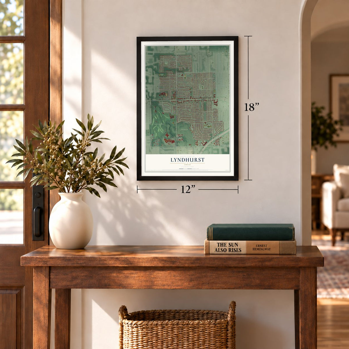
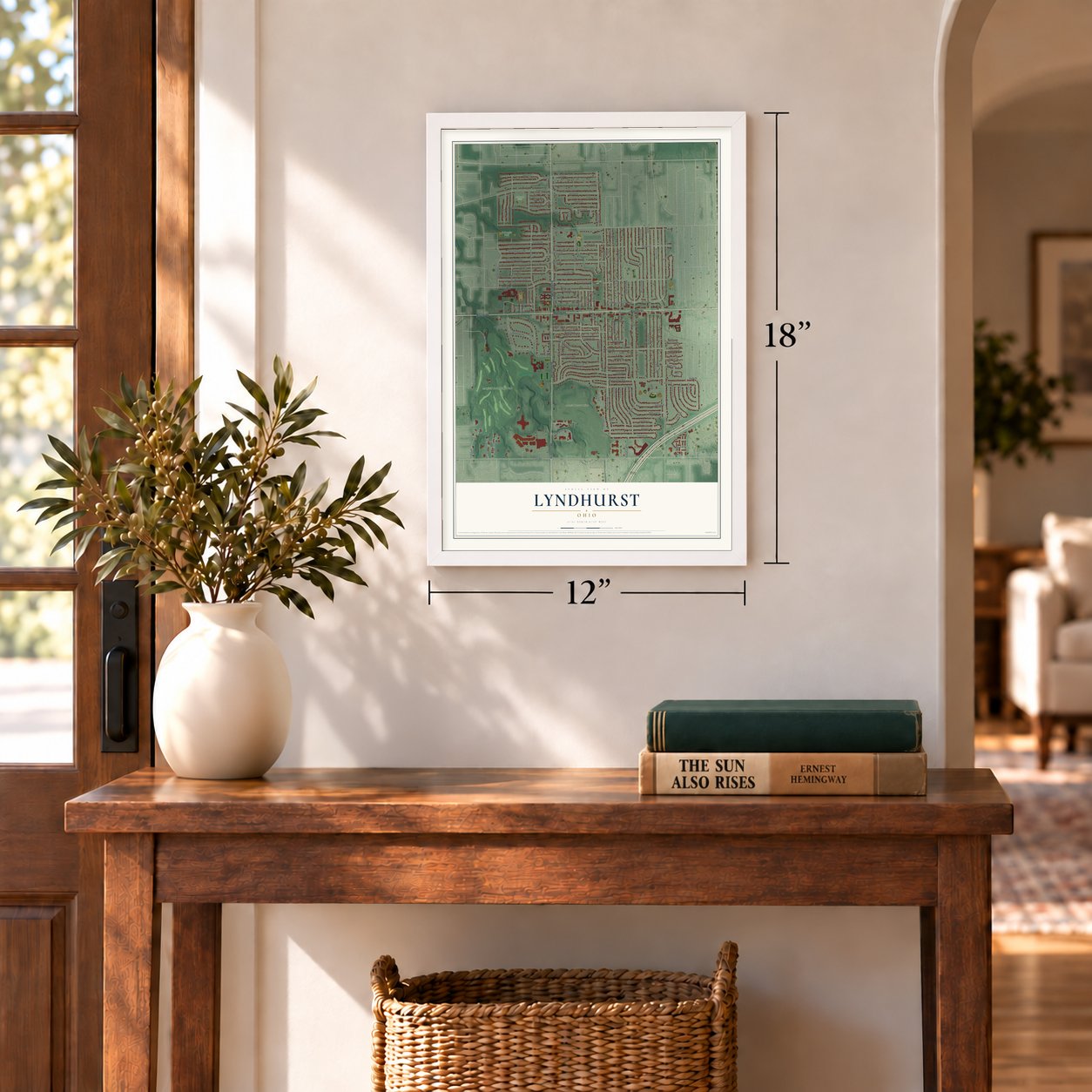
12" x 18" Archival Matte Print
A Map of Home. A Work of Art.
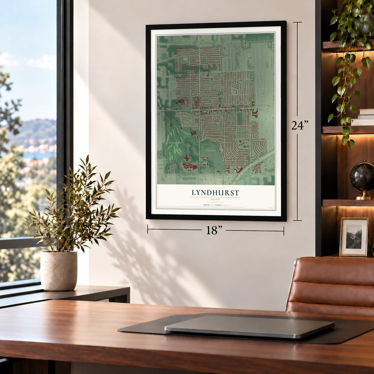
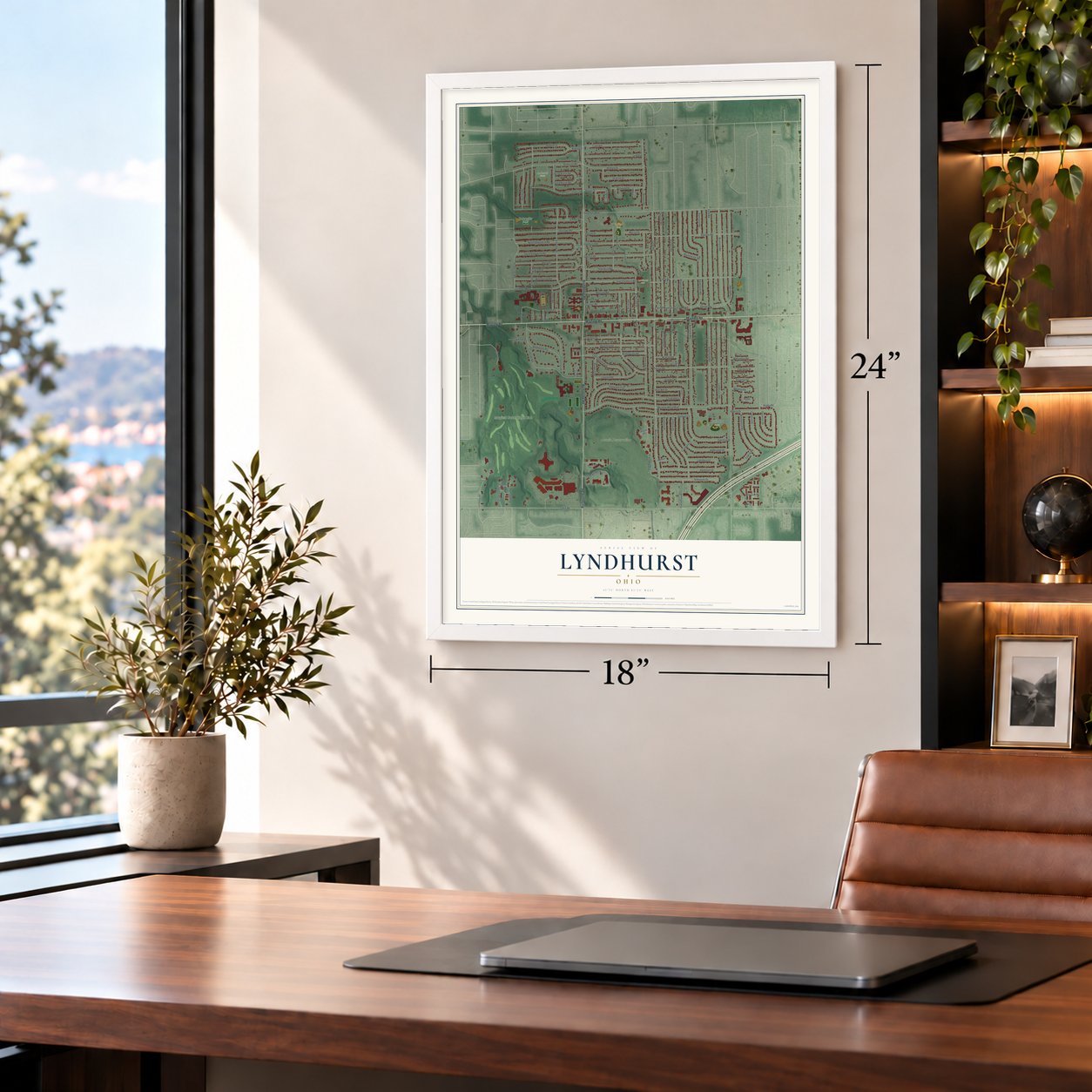
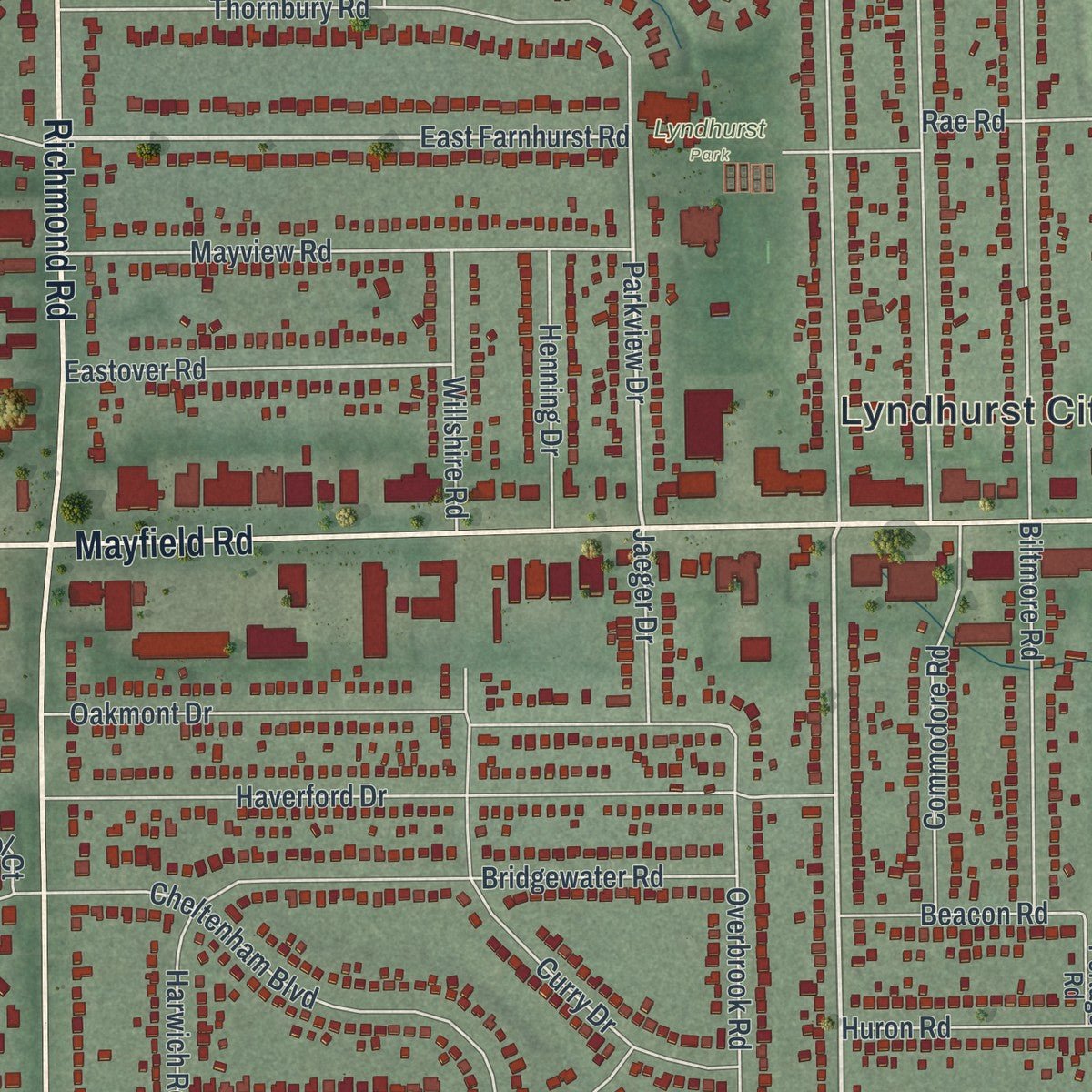
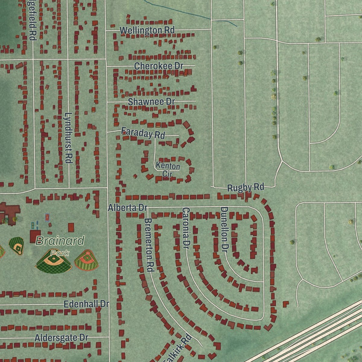
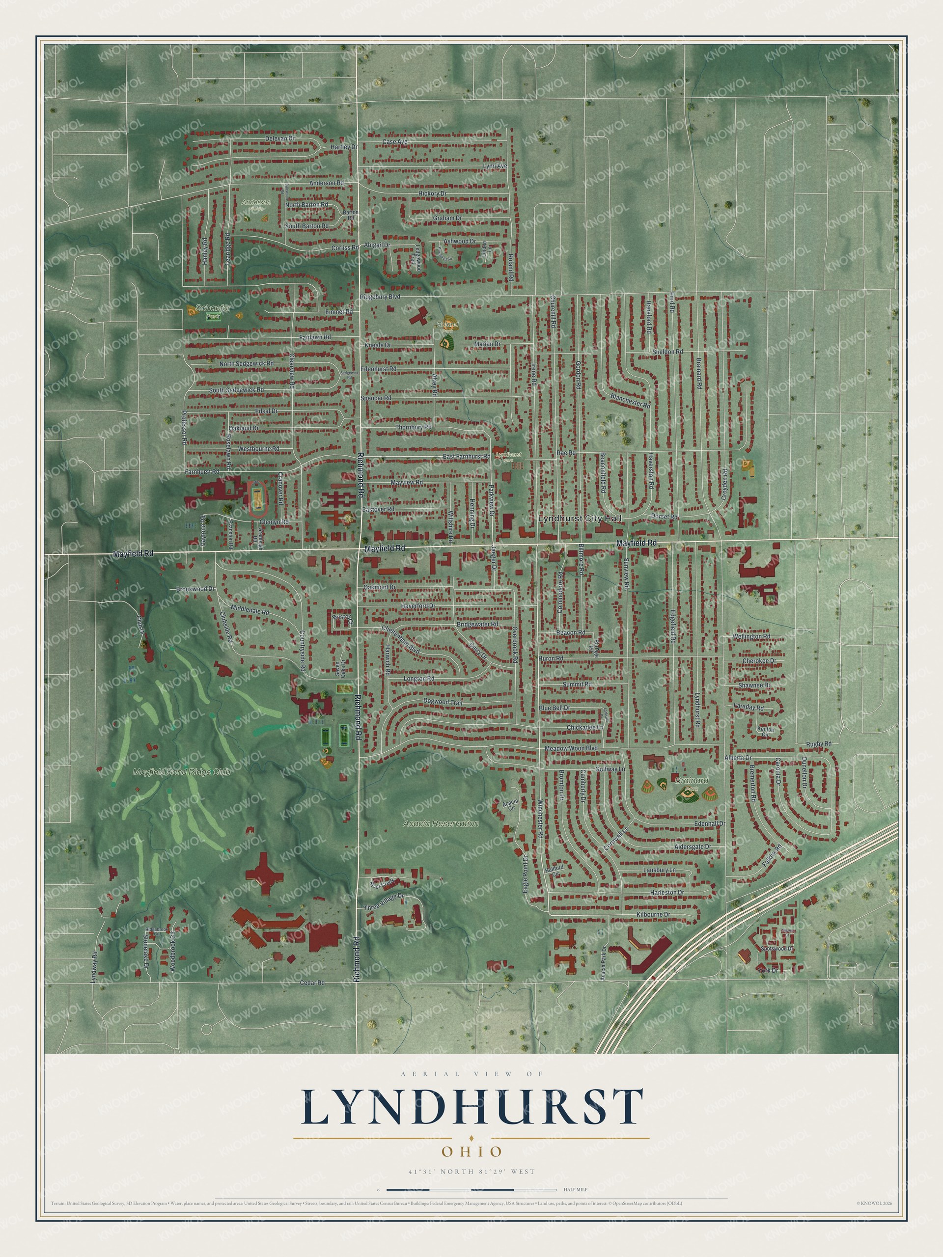
Explore Lyndhurst, Ohio from a whole new perspective. Created using aerial imagery and detailed geographic data, this map captures Lyndhurst building by building, with labeled streets, familiar landmarks, and shaded topographical relief that highlights the natural contours of the landscape.
Combining modern data with the timeless character of a vintage atlas, this map is just as interesting up close as it is beautiful on the wall. Whether you grew up in Lyndhurst, spent memorable years there, or call it home today, this unique map is a great way to celebrate a place that means something to you. Zoom in on the preview to look for your street, and then order a print to put your memories on the wall.
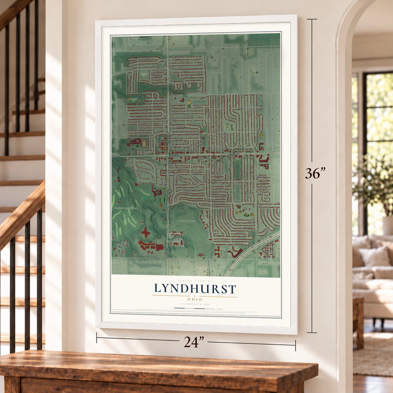
Three ways to hang it
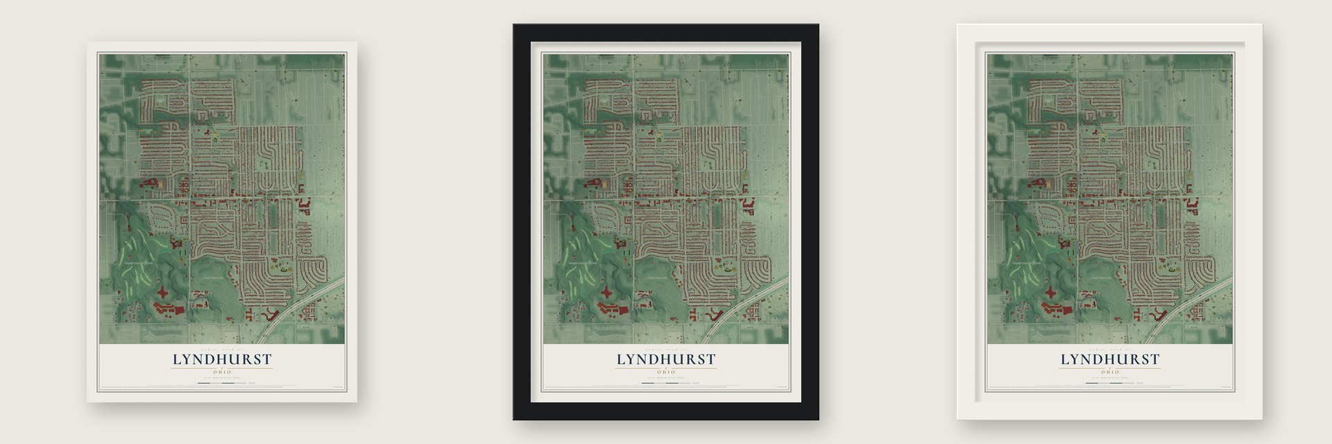
Unframed archival matte, a black wood frame or a white wood frame.
Up close
Geography Worth Displaying
This map was created using accurate cartographic data and authoritative geographic sources, including the U.S. Geological Survey and the Census Bureau. The map brings together terrain, waterways, roads, and building detail. The majority of the streets are labeled, houses are accurately depicted, and the topography is derived from government sources. Combining local data with carefully composed color and shading leads to this beautifully detailed Lyndhurst artwork for your wall.
Rather than simply showing street outlines, we’ve included as many of the street names as we could reasonably fit on the map while keeping their names legible. Zoom in on the high resolution preview to see exactly what’s on the map. We truly set out to create a statement piece for anyone who loves Lyndhurst. So whether it’s for you, or a gift for someone you love, we hope this map of Lyndhurst brings back fond memories.
Read the story behind this map of Lyndhurst, Ohio from 2026.

Find your street
Names on the Lyndhurst map
Every name below is printed on this map. Look for your street, your school, the park where you played, or the pond down the road.
Places and landmarks8
- Lyndhurst City Hall
- Acacia Reservation
- Brainard Park
- Lyndhurst Park
- Schaefer Park
- Anderson Fields
- Roland Park
- Mayfield Sand Ridge Club
Streets and roads130
- Richmond Road
- Mayfield Road
- Winchester Road
- East Farnhurst Road
- Parkview Drive
- Abigail Drive
- Cedar Road
- Brainard Road
- Ridgebury Boulevard
- Meadow Wood Boulevard
- Sunview Road
- Rae Road
- Clearview Road
- Professor Road
- Haverston Road
- Ford Road
- Irene Road
- Churchill Road
- Gordon Road
- Roland Road
- Clubside Road
- Croyden Road
- Chickadee Lane
- Lyndhurst Road
- Edgefield Road
- Sheldon Road
- Huron Road
- Farnhurst Road
- Haverford Drive
- Aldersgate Drive
Show all 130 streets
- Anderson Road
- Fairlawn Road
- Alberta Drive
- Spencer Road
- Dogwood Trail
- Countryside Road
- Hartley Drive
- Edsal Drive
- Edenhall Drive
- Harleston Drive
- South Sedgewick Road
- North Sedgewick Road
- Camberly Drive
- Hickory Drive
- Thornbury Road
- Oakmont Drive
- Golfway Lane
- Edenhurst Road
- Eagle Point Drive
- Lynd Avenue
- Case Avenue
- Learidge Road
- Blanchester Road
- Overbrook Road
- Oakland Drive
- Corliss Road
- Bromton Drive
- Delevan Drive
- Mayview Road
- Curry Drive
- Cheltenham Boulevard
- Graham Drive
- Bridgewater Road
- Three Village Drive
- Kilbourne Drive
- Caronia Drive
- Lyndway Road
- Longton Road
- Westbourne Road
- Bremerton Road
- Middledale Road
- Alvey Road
- Hanley Road
- Emmet Road
- Glenlyn Road
- Lansbury Lane
- Commodore Road
- Summit Road
- Biltmore Road
- Eastover Road
- Ashwood Drive
- Beaconfield Road
- Harwich Road
- Kneale Drive
- Marian Drive
- Roselawn Road
- Dunellon Drive
- Falkirk Road
- Dorset Road
- Willshire Road
- Club Drive
- Henning Drive
- North Barton Road
- South Barton Road
- Bristol Court
- Wellington Road
- Blue Bell Drive
- Shawnee Drive
- Cherokee Drive
- Hansford Road
- Stonelake Drive
- Beacon Road
- Cranover Road
- Faraday Road
- Brookwood Drive
- Jaeger Drive
- Cornwall Lane
- Woodbrook Circle
- Daytona Road
- York Drive
- Rugby Road
- River Creek
- Acacia Park Drive
- Kenton Circle
- Spotswood Drive
- Evanston Road
- Grenleigh Road
- Seven Oaks Drive
- Ledgewood Trail
- Portage Road
- Hallford Circle
- Linden Lane
- Acacia Circle
- Barton Road
- Ridgebrook Circle
- Dalewood Road
- Larkspur Drive
- Pinewood Circle
- Sedgewick Road
- Tiffany Court
Names are listed as they appear on the printed map. Zoom into the product photos to find them.
About Lyndhurst, Ohio
Lyndhurst is a city of 14,050 people in Cuyahoga County, an eastern suburb of Cleveland. Its land was part of the Connecticut Western Reserve, which the Connecticut Land Company gained by treaty with the Iroquois in 1796. A year later Moses Cleaveland gave the country east of the Cuyahoga River the name Euclid, after the Greek mathematician whom surveyors claimed as their patron saint, and Euclid Township was formed in 1809.
Native Americans made up most of the people here until after the War of 1812, and farming was the first work of the settlers who followed. The farm district grew into a village, incorporated in 1917 as Euclidville. A contest at the high school picked a new name, Lyndhurst, in honor of Lyndhurst, New Jersey. The village took that name in 1920 and became a city in 1951.
- District four in 1828In 1828 Euclid Township was split into nine districts, and the ground that is now Lyndhurst became district four. The Old Euclid District 4 Schoolhouse carries that old district number, and it joined the National Register in 1980.
- Mayfield Road since 1877Since 1877 Mayfield Road, now U.S. Route 322, has been the main route through Lyndhurst. It started out as a toll road laid with wooden planks, and today stores and restaurants line it.
- Eggshelland, from 1957Starting in 1957, a Lyndhurst resident filled the front lawn each year with Easter egg mosaics. The display, called Eggshelland, stayed at that home until 2013 and became the subject of a documentary film. In 2014 a different party took over its upkeep and moved it to sites in and around Lyndhurst, and in 2022 it moved to nearby Chester Township.
- A postwar boomGrowth slowed during the Great Depression, then soared after the war, driven by the baby boom and by white flight from Cleveland. The population peaked in the 1970s. By 1980 the city had run short of open land, families were moving farther out, and the count began to fall. In 2010 Lyndhurst had 29% fewer people than at its peak.
Keep exploring Ohio
Lyndhurst is one of 1,389 Ohio towns we've mapped. Every dot on the map is a print of its own.
The search covers every state, Ohio first.
Near Lyndhurst
Order 2 or more town maps and save 10%. Shown in the size and finish you picked above, so they hang as a set.
- South Euclid 12" x 18" / Archival Matte Print $39.99
- Mayfield Heights 12" x 18" / Archival Matte Print $39.99
- University Heights 12" x 18" / Archival Matte Print $39.99
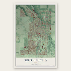

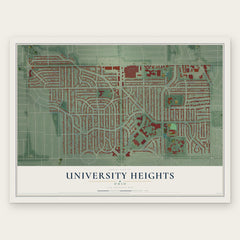
More maps nearby: Highland Heights, Beachwood, Richmond Heights, Pepper Pike and Cleveland Heights.
The art of mapping a place
How This Map Was Made
Real places. Remarkable detail. Discover the layers that turn geographic data into a map of home.

The view from above
Aerial imagery reveals the character of the land: woodland, open fields, and the patterns of a place.

The shape of the land
Elevation data brings hills, valleys, and subtle changes in the landscape into view.

The details of home
Roads, waterways, and building footprints come together to make the map feel unmistakably local.

Geography becomes art
Considered color, shading, and typography bring the layers together in a map made for your wall.


Process illustrated with Mendon, Massachusetts. Aerial imagery: USDA NAIP. Terrain: USGS 3D Elevation Program. Map details and finished artwork: KNOWOL.
The Details
About This Print
Choose an archival matte print, or a black or white Ayous wood frame. The archival matte print is unframed.
Select your size and finish above to see the matching product image and price.
Materials & Craftsmanship
A contemporary map with the character of a classic atlas, printed on archival matte paper. Optional frames are made from Ayous wood.
Your printed map does not include the watermark shown in the full-map preview.
Shipping & Delivery
Free shipping within the United States. Every print is made to order in the USA.
Buying a gift? Add a note in your cart and we'll include it. We never put prices in the package.
Prints ship within 2 to 3 business days. Allow 7 to 10 days total from ordering for delivery. Timing may vary during holidays or periods of high order volume.
Read our shipping policy.
Returns and damaged prints
Each print is made to order. Change-of-mind refunds are not available after production.
If your print arrives damaged, misprinted or incorrect, contact support@knowol.com within 30 days of receiving it. Include your order number, photos and a description of the issue.
Read our full refund and replacement policy. For questions about your order, email support@knowol.com.