
Drag to look around. The digital watermark does not appear on printed maps.


Free U.S. delivery 7 to 10 days after you order
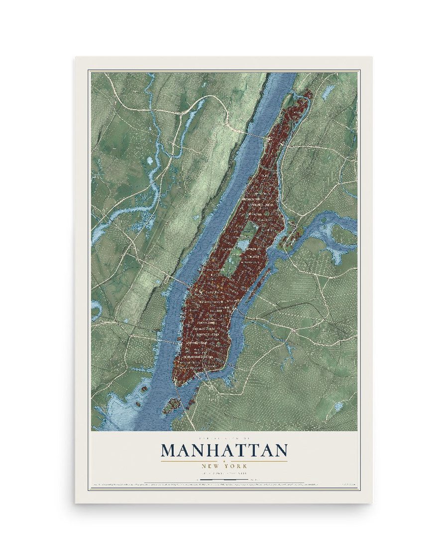
Manhattan, New York Map Art
A new map of Manhattan, New York, made in 2026 and printed to order on thick archival matte paper.
12" x 18" Archival Matte Print
A Map of Home. A Work of Art.
Bring a piece of Manhattan home. Whether it’s where you grew up, your current home, or simply a moment in your life, this Manhattan, New York map print brings those memories to your wall. Antique-inspired styling and modern geographic detail combine to create artwork that’s beautiful from across the room, with plenty to study and explore when you get up close.

Real geography. Art worth displaying.
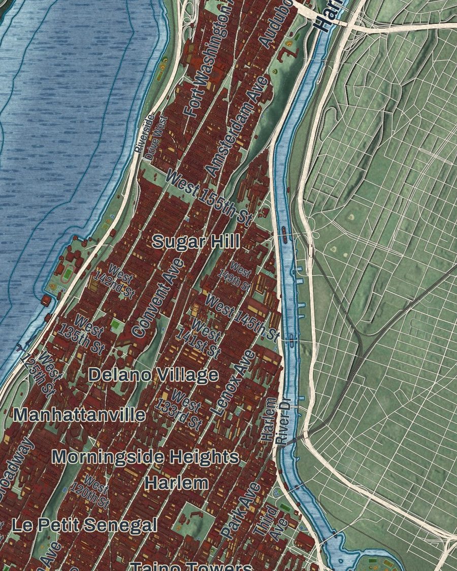
This map was created using accurate cartographic data and authoritative geographic sources, including the U.S. Geological Survey (USGS) and FEMA. The map brings together terrain, waterways, roads, and building detail. The majority of the streets are labeled, houses are accurately depicted, and the topography is derived from government sources. Combining local data with carefully composed color and shading leads to this beautifully detailed Manhattan artwork for your wall.
Rather than simply showing street outlines, we’ve included as many of the street names as we could reasonably fit on the map while keeping their names legible. Zoom in on the high resolution preview to see exactly what’s on the map. We truly set out to create a statement piece for anyone who loves Manhattan. So whether it’s for you, or a gift for someone you love, we hope this map of Manhattan brings back fond memories.
Explore the full map of Manhattan, New York and read about the local places it shows.

About Manhattan, New York
Manhattan is the most densely populated and geographically smallest of the five boroughs of New York City. European settlement began with the establishment of a trading post by Dutch colonists in 1624 on Manhattan Island; the post was named "New Amsterdam" in 1626.
- The nameEuropean settlement began with the establishment of a trading post by Dutch colonists in 1624 on Manhattan Island; the post was named "New Amsterdam" in 1626.
- The nameThe territory came under English control in 1664 and was renamed "New York" after King Charles II of England granted the lands to his brother, the Duke of York.
- Incorporated in 1653New Amsterdam was formally incorporated as a city on February 2, 1653.
- The nameIn 1664, English forces conquered New Netherland and renamed it "New York" after the English Duke of York and Albany, the future King James II.
- 1,694,250 peopleManhattan is one of the most densely populated locations in the world, with a 2020 census population of 1,694,250 living in a land area of 22.66 square miles (58.
Find your street
Names on the Manhattan Borough map
Every name below is printed on this map. Look for your street, your school, the park where you played, or the pond down the road.
Places and landmarks39
- Central Park
- Amalgamated Dwellings
- Battery Park City
- Carnegie Hill
- Chelsea
- Chinatown
- Clinton
- Delano Village
- East Harlem
- East Village
- Flatiron District
- Gashouse District
Show all 39 places
- Gracie Square
- Grammercy Park
- Greenwich Village
- Harbor View Terrace
- Harlem
- Hell's Kitchen
- Inwood
- Kips Bay
- Le Petit Senegal
- Little Italy
- Loisaida
- Manhattan
- Manhattanville
- Morningside Heights
- Murray Hill
- Park West Village
- Penn Station South
- Rose Hill
- San Juan Hill
- Soho
- Sugar Hill
- Taino Towers
- Tribeca
- Tudor City
- University Village
- Upper West Side
- Yorkville
Streets and roads126
- Broadway
- Twelfth Avenue
- Harlem River Drive
- Lincoln Highway
- West Street
- Williamsburg Bridge
- Riverside Drive
- First Avenue
- Cabrini Boulevard
- Fort Washington Avenue
- Eleventh Avenue
- York Avenue
- Hudson Street
- Columbus Avenue
- East 102nd Street
- East 53rd Street
- Amsterdam Avenue
- Fifth Avenue
- Second Avenue
- Park Avenue
- Lexington Avenue
- Eighth Avenue
- Seventh Avenue
- Sixth Avenue
- Tenth Avenue
- West Drive
- Main Street
- West End Avenue
- South Street
- Lenox Avenue
Show all 126 streets
- Canal Street
- West Road
- Audubon Avenue
- East 14th Street
- Convent Avenue
- East Houston Street
- Madison Street
- West 29th Street
- Manhattan Avenue
- West 49th Street
- West 36th Street
- East 20th Street
- East 76th Street
- East 117th Street
- East 57th Street
- Dyckman Street
- West 155th Street
- East 49th Street
- Seaman Avenue
- Craig Road North
- East 97th Street
- West 86th Street
- William Street
- Manhattan Bridge
- Brooklyn Bridge
- Ninth Avenue
- West 135th Street
- East 25th Street
- Third Avenue
- East Drive
- West 125th Street
- East Road
- Pearl Street
- Allen Street
- West 145th Street
- Cathedral Parkway
- West 141st Street
- East Sixth Street
- East 90th Street
- East 73rd Street
- Hell Gate Circle
- Mott Street
- West 133rd Street
- West Twelfth Street
- East 59th Street
- East 106th Street
- West 70th Street
- West 90th Street
- Craig Road South
- Riverside Boulevard
- West 65th Street
- West 218th Street
- Carder Road
- Trinity Place
- Barry Road
- River Terrace
- Triborough Bridge
- Central Park West
- West 39th Street
- West 34th Street
- West 42nd Street
- West 26th Street
- Bleecker Street
- West 120th Street
- West 142nd Street
- East 82nd Street
- East 70th Street
- East 120th Street
- East 61st Street
- East 28th Street
- East 42nd Street
- East 37th Street
- West 181st Street
- East Fifth Street
- Center Drive
- Battery Place
- Marble Hill Avenue
- Margaret Corbin Drive
- Bronx Shore Road
- Riverside Drive West
- West 57th Street
- West 46th Street
- West 25th Street
- Water Street
- West 18th Street
- West 111th Street
- East 91st Street
- East 110th Street
- Nagle Avenue
- East 112th Street
- East 45th Street
- West 149th Street
- West 190th Street
- West Third Street
- Albany Street
- Ellwood Street
Names are listed as they appear on the printed map. Zoom into the product photos to find them.
The art of mapping a place
How This Map Was Made
Real places. Remarkable detail. Discover the layers that turn geographic data into a map of home.

The view from above
Aerial imagery reveals the character of the land: woodland, open fields, and the patterns of a place.

The shape of the land
Elevation data brings hills, valleys, and subtle changes in the landscape into view.

The details of home
Roads, waterways, and building footprints come together to make the map feel unmistakably local.

Geography becomes art
Considered color, shading, and typography bring the layers together in a map made for your wall.


Process illustrated with Mendon, Massachusetts. Aerial imagery: USDA NAIP. Terrain: USGS 3D Elevation Program. Map details and finished artwork: KNOWOL.
The Details
About This Print
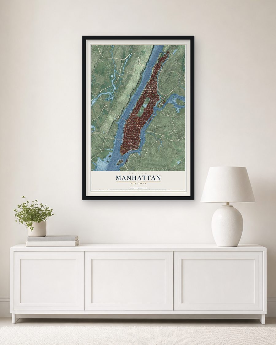
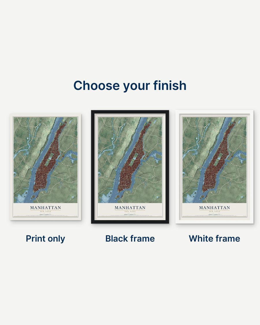
Choose an archival matte print, or a black or white Ayous wood frame. The archival matte print is unframed.
Select your size and finish above to see the matching product image and price.
Materials & Craftsmanship
A contemporary map with the character of a classic atlas, printed on archival matte paper. Optional frames are made from Ayous wood.
Your printed map does not include the watermark shown in the full-map preview.
Shipping & Delivery
Free shipping within the United States. Every print is made to order in the USA.
Buying a gift? Add a note in your cart and we'll include it. We never put prices in the package.
Prints ship within 2 to 3 business days. Allow 7 to 10 days total from ordering for delivery. Timing may vary during holidays or periods of high order volume.
Read our shipping policy.
Returns and damaged prints
Each print is made to order. Change-of-mind refunds are not available after production.
If your print arrives damaged, misprinted or incorrect, contact support@knowol.com within 30 days of receiving it. Include your order number, photos and a description of the issue.
Read our full refund and replacement policy. For questions about your order, email support@knowol.com.
Find your town
Looking for another city?
Find a map of home in our New York collection.
Nearby
Maps of towns near Manhattan
Know someone from one of these towns? Their map makes a great gift.


