
Search for another town




Free U.S. delivery 7 to 10 days after you order
Manning, South Carolina Map Art
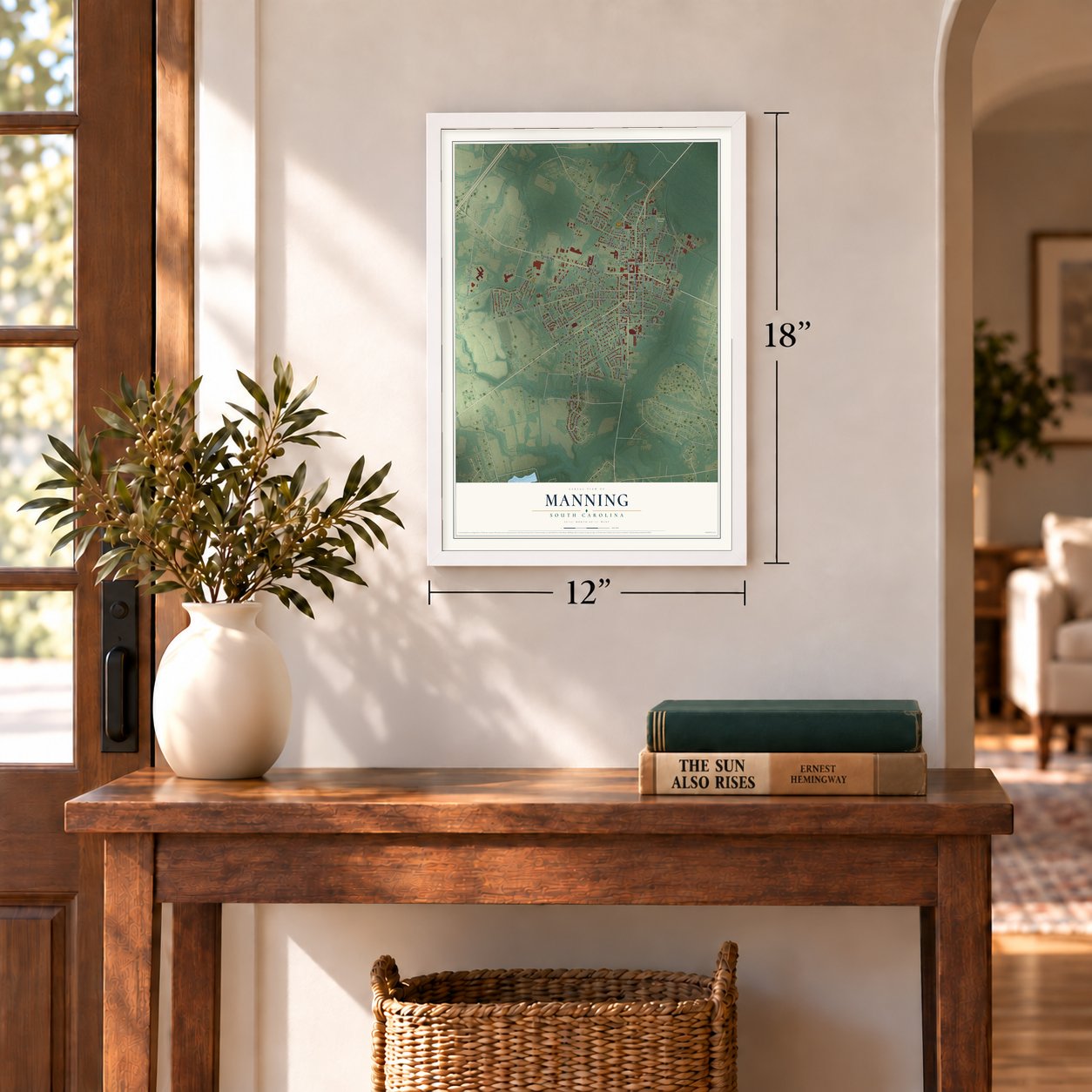
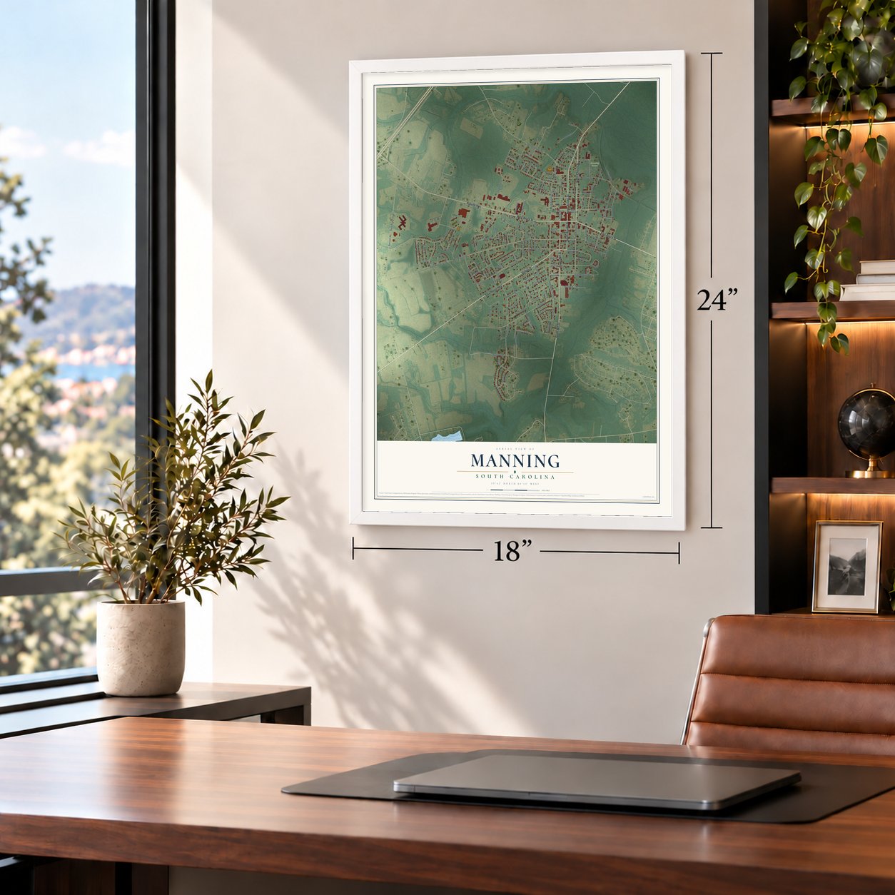
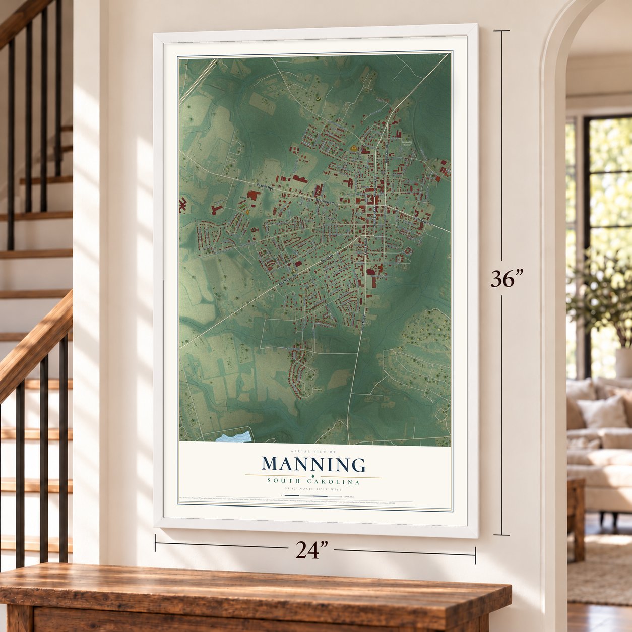
A new map of Manning, South Carolina, made in 2026 and printed to order on thick archival matte paper.
12" x 18" Archival Matte Print
A Map of Home. A Work of Art.
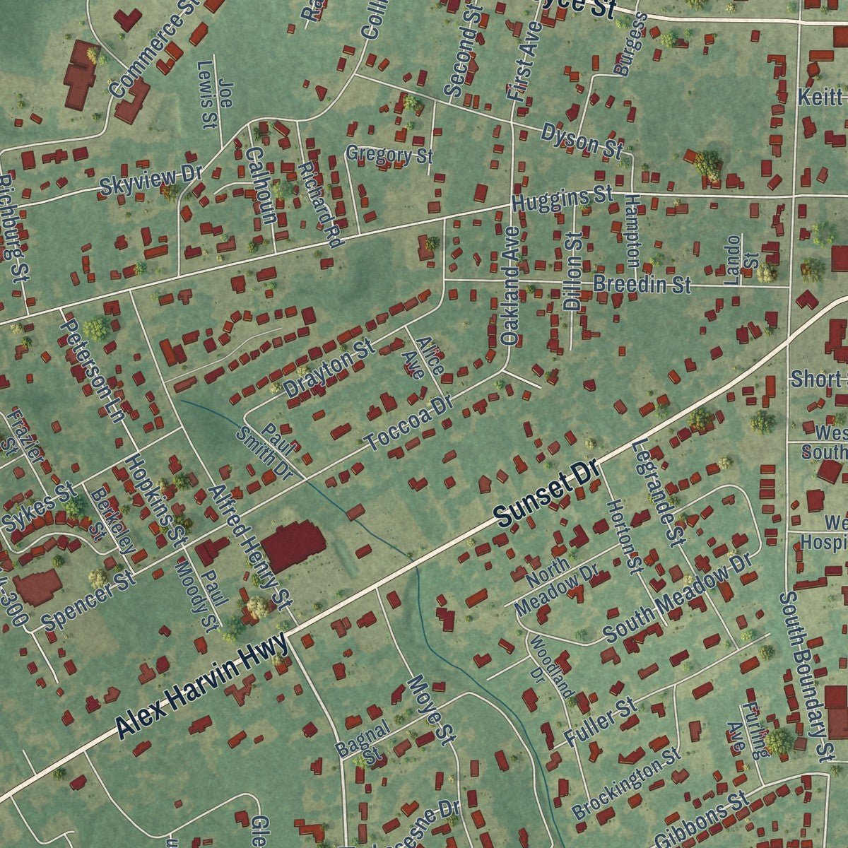
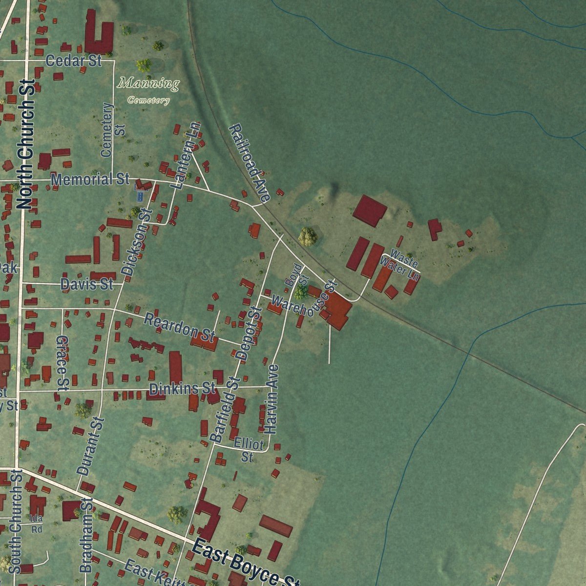
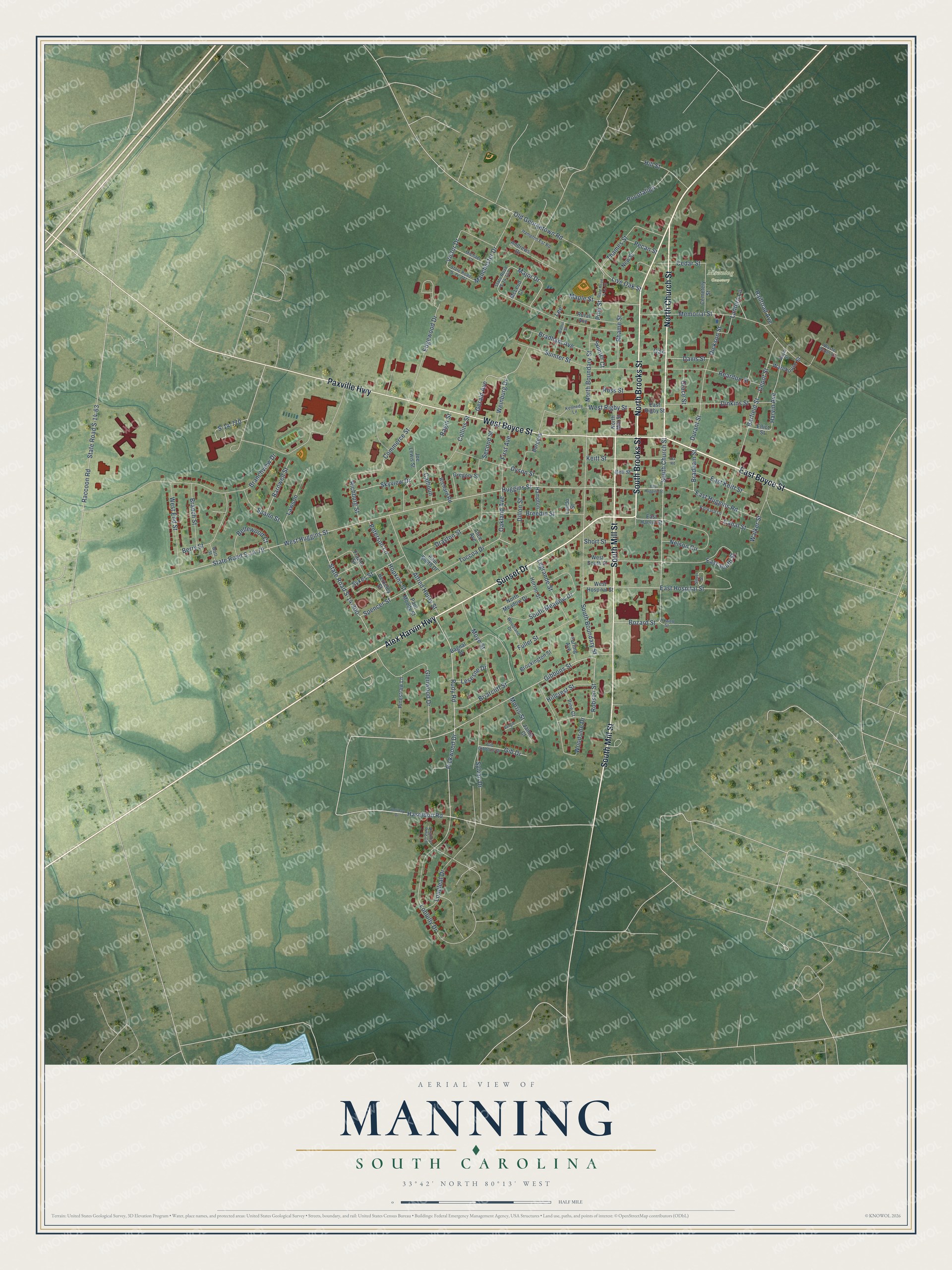
Explore Manning, South Carolina from a whole new perspective. Created using aerial imagery and detailed geographic data, this map captures Manning building by building, with labeled streets, familiar landmarks, and shaded topographical relief that highlights the natural contours of the landscape.
Combining modern data with the timeless character of a vintage atlas, this map is just as interesting up close as it is beautiful on the wall. Whether you grew up in Manning, spent memorable years there, or call it home today, this unique map is a great way to celebrate a place that means something to you. Zoom in on the preview to look for your street, and then order a print to put your memories on the wall.
Three ways to hang it
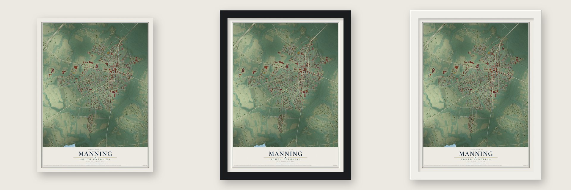
Unframed archival matte, a black wood frame or a white wood frame.
Up close
Geography Worth Displaying
This map was created using accurate cartographic data and authoritative geographic sources, including the U.S. Geological Survey and the Census Bureau. The map brings together terrain, waterways, roads, and building detail. The majority of the streets are labeled, houses are accurately depicted, and the topography is derived from government sources. Combining local data with carefully composed color and shading leads to this beautifully detailed Manning artwork for your wall.
Rather than simply showing street outlines, we’ve included as many of the street names as we could reasonably fit on the map while keeping their names legible. Zoom in on the high resolution preview to see exactly what’s on the map. We truly set out to create a statement piece for anyone who loves Manning. So whether it’s for you, or a gift for someone you love, we hope this map of Manning brings back fond memories.
Read the story behind this map of Manning, South Carolina from 2026.

About Manning, South Carolina
Manning is a city of 3,878 people and the county seat of Clarendon County. When the new county split off from Sumter in 1855, the South Carolina Legislature chose thirteen commissioners to find and buy between 6 and 60 acres for a courthouse village. Captain Joseph Copley Burgess gave the state the site, and a state grant of $18,000, along with money from selling lots, paid for the courthouse and jail. The village was named for John Lawrence Manning, who had been governor from 1852 to 1854, and its post office opened in 1856 with Thomas S. Coogler as postmaster.
Union troops burned much of the town, the courthouse among it, during Potter's Raid in 1865, only days before Lee surrendered at Appomattox. A downtown fire followed in 1895 and a tornado in 1915, but railroads, timber and many kinds of farming kept Manning growing. In 1933 Highway 4 became U.S. Route 301, and with help from local resident W. P. Legg, the road through Manning became a favorite for drivers heading from Washington to Florida.
“the Legislature (had) granted a bill of divorce between Clarendon and Claremont (Sumter).”
- A library for their motherMoses and Hannah Levi's children paid for the town's first library, adding money from the sale of the Moses Levi Institute. The Hannah Levi Memorial Library, finished in 1910 and later renamed the Manning Library, was long Clarendon's sole public library. The county took it over in 1976, and it closed in 1984, after the new Harvin Clarendon County Library opened. Listed on the National Register in 1979, it now holds the Clarendon County Archives and History Center.
- Sit-ins as early as 1960Manning was among the Southern towns where Black residents held peaceful sit-ins and demonstrations as early as 1960. They passed without serious trouble, and they undercut local newspapers' claims that Black Carolinians were content with segregation. In 1970 a court order merged Manning Training School, the Black school, with the all-white Manning High School, and the old Training School became Manning Middle School and later Manning Elementary.
- Mayor from 1970 to 1996Pansy Ridgeway won the mayor's race in 1969, the first woman ever elected to lead Manning, and she held the office from 1970 to 1996. She was the third woman elected mayor anywhere in South Carolina, and she became the first woman to serve as president of the South Carolina Municipal Association.
- George Allen Huggins, first intendantManning's town government began with an intendant, the old title for its mayor, and George Allen Huggins was the first to hold it. On the second Monday of the October after the village was laid out, voters chose new district officers, and Clarendon began governing itself apart from Sumter, with Manning as its seat.
Find your street
Names on the Manning map
Every name below is printed on this map. Look for your street, your school, the park where you played, or the pond down the road.
Places and landmarks1
- Manning Cemetery
Streets and roads163
- Alex Harvin Highway
- East Boyce Street
- South Mill Street
- Sunset Drive
- South Brooks Street
- West Boyce Street
- North Brooks Street
- North Church Street
- Paxville Highway
- Gibbons Street
- Rudy Road
- Haseldon Road
- Pickwood Drive
- South Church Street
- Robson Street
- Loblolly Drive
- Huggins Street
- East Hospital Street
- Old Georgetown Road
- West Huggins Street
- Toccoa Drive
- Spencer Street
- South Boundary Street
- S-14-770
- Commerce Street
- Oakland Avenue
- East South Street
- Harvin Avenue
- State Road S-14-79
- Memorial Street
Show all 163 streets
- Major Drive
- Branchview Drive
- Manchester Drive
- Barfield Street
- Collins Street
- Woodside Drive
- Briarcliff Street
- Raccoon Road
- State Road S-14-63
- Glenwood Drive
- Sumter Street
- Alfred Henry Street
- North Boundary Street
- Dinkins Street
- Nelson Circle
- Breedin Street
- Edgewood Drive
- Berry Street
- Reardon Street
- South Meadow Drive
- Dyson Street
- Moye Street
- Dickson Street
- Drayton Street
- Bradham Avenue
- West End Street
- Weinburg Drive
- Sylvan Drive
- Thames Street
- State Road S-14-300
- Keitt Street
- Maple Street
- Pocotaligo
- Spann Street
- Fuller Street
- East Huggins Road
- Longleaf Drive
- Sykes Street
- Legrande Street
- Bellewood Court
- Gerald Avenue
- Rhame Street
- Branch Street
- Lawson
- Walker Street
- Skyview Drive
- Barnwell Street
- East Keitt Street
- Lantern Lane
- Bradham Street
- Live Oak Street
- Hillcrest Street
- Cedar Street
- West Rigby Street
- Gib Drive
- Ross Street
- Richburg Street
- Peterson Lane
- Pine Street
- Dillon Street
- Hill Street
- Bozard Street
- Durant Street
- Davis Street
- Railroad Avenue
- Canal Street
- Depot Street
- Calhoun
- First Avenue
- Second Street
- Lesesne Drive
- Pecan Street
- Grace Street
- Victor Drive
- Sumter Court
- Morris Street
- Hopkins Street
- Short Street
- Ragin Street
- Oak
- Lee
- East Harvin Street
- North Meadow Drive
- Gregory Street
- Brockington Street
- Frazier Street
- Cemetery Street
- Horton Street
- Burgess
- Rural Avenue
- Bagnal Street
- Warehouse Street
- Richard Road
- Pinestraw Lane
- Berkeley Street
- West South Street
- West Hospital Street
- North Mill Street
- McLeod Court
- Joe Lewis Street
- Paul Smith Drive
- Pine Court
- New Street
- East Rigby Street
- Hampton
- Paul Moody Street
- Alice Avenue
- Furling Avenue
- Andrews Drive
- Elliot Street
- Bell Street
- Jamie Court
- Lando Street
- State Road S-14-147
- Kennedy Lane
- Woodland Drive
- Gib Gibbons Drive
- Michael Court
- Silver Street
- State Road S-14-217
- Hampton Est Road
- Packard Lane
- Virginia Pine Court
- Watt Street
- Waste Water Lane
- Boyd Street
- Howell Street
- Holliday Drive
- East Huggins Street
- State Road S-14-75
- Walnut Street
- Vangie Court
- Ida Road
Names are listed as they appear on the printed map. Zoom into the product photos to find them.
The art of mapping a place
How This Map Was Made
Real places. Remarkable detail. Discover the layers that turn geographic data into a map of home.

The view from above
Aerial imagery reveals the character of the land: woodland, open fields, and the patterns of a place.

The shape of the land
Elevation data brings hills, valleys, and subtle changes in the landscape into view.

The details of home
Roads, waterways, and building footprints come together to make the map feel unmistakably local.

Geography becomes art
Considered color, shading, and typography bring the layers together in a map made for your wall.


Process illustrated with Mendon, Massachusetts. Aerial imagery: USDA NAIP. Terrain: USGS 3D Elevation Program. Map details and finished artwork: KNOWOL.
The Details
About This Print
Choose an archival matte print, or a black or white Ayous wood frame. The archival matte print is unframed.
Select your size and finish above to see the matching product image and price.
Materials & Craftsmanship
A contemporary map with the character of a classic atlas, printed on archival matte paper. Optional frames are made from Ayous wood.
Your printed map does not include the watermark shown in the full-map preview.
Shipping & Delivery
Free shipping within the United States. Every print is made to order in the USA.
Buying a gift? Add a note in your cart and we'll include it. We never put prices in the package.
Prints ship within 2 to 3 business days. Allow 7 to 10 days total from ordering for delivery. Timing may vary during holidays or periods of high order volume.
Read our shipping policy.
Returns and damaged prints
Each print is made to order. Change-of-mind refunds are not available after production.
If your print arrives damaged, misprinted or incorrect, contact support@knowol.com within 30 days of receiving it. Include your order number, photos and a description of the issue.
Read our full refund and replacement policy. For questions about your order, email support@knowol.com.
Find your town
Looking for another city?
Find a map of home in our South Carolina collection, or any town in the country.
Nearby
Maps of towns near Manning
Know someone from one of these towns? Their map makes a great gift.
 Alcolu
, South Carolina
From $39.99See the map
 Paxville
, South Carolina
From $39.99See the map
 Wyboo
Wyboo, South Carolina
From $39.99See the map
More maps nearby: Foreston, Summerton, Lakewood, Privateer and Pinewood.