
Search for another town




Free U.S. delivery 7 to 10 days after you order
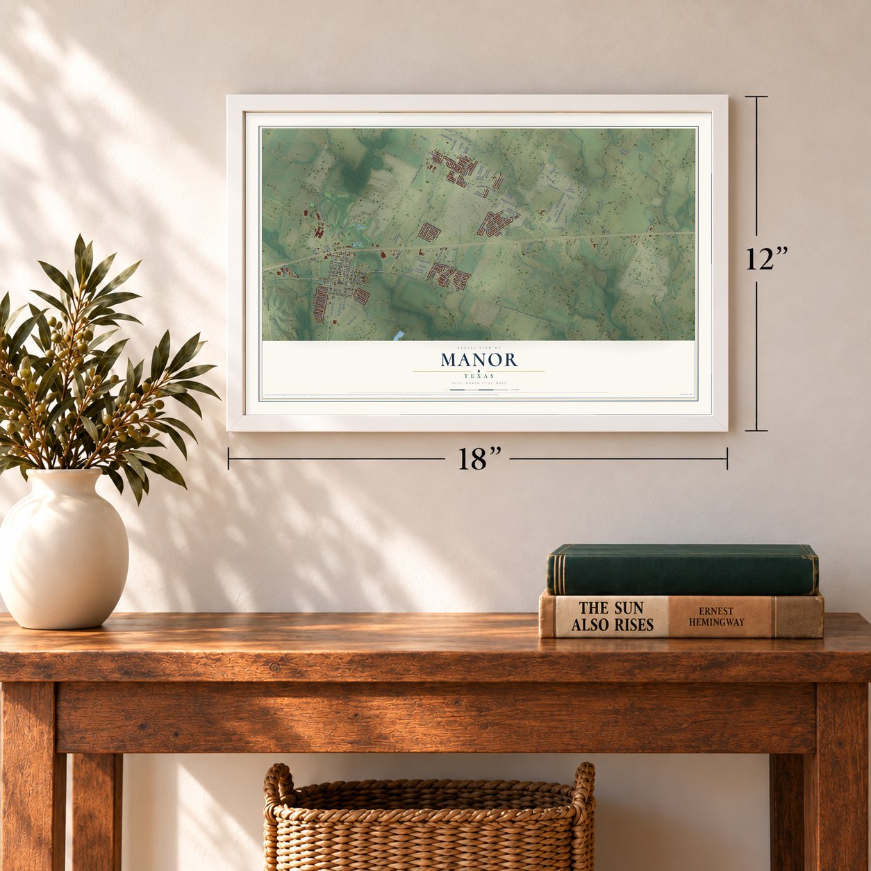
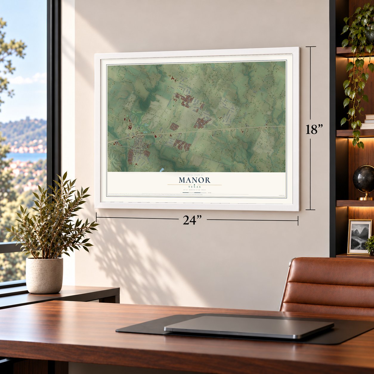
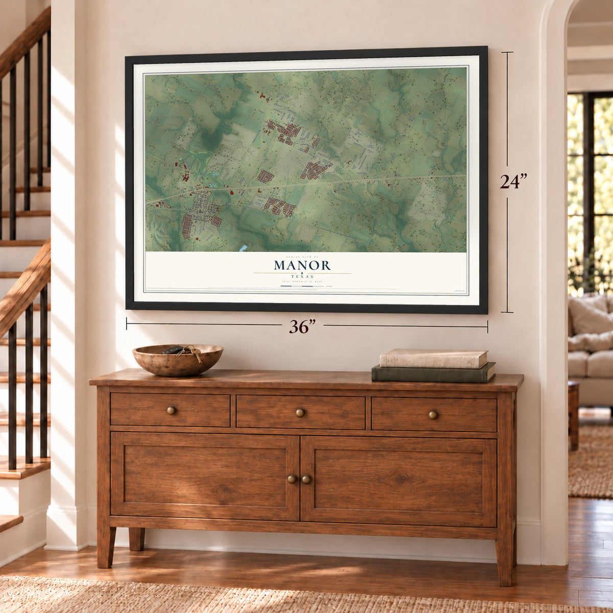
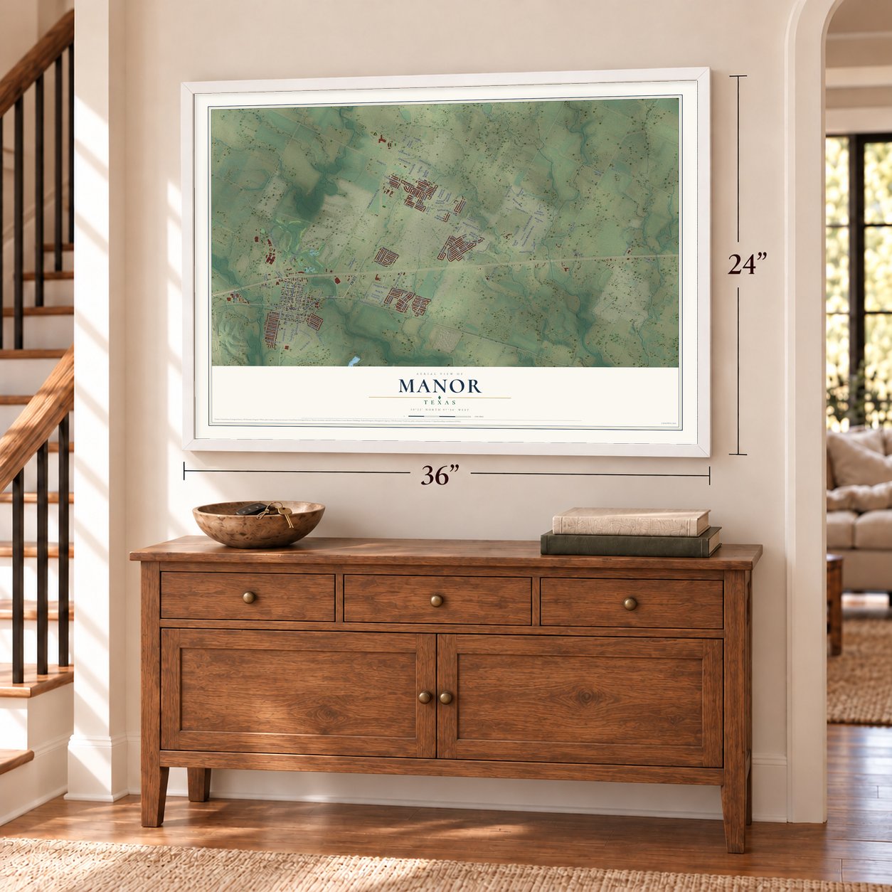
Manor, Texas Map Art
Building by building, with labeled streets and shaded relief.
12" x 18" Archival Matte Print
A Map of Home. A Work of Art.
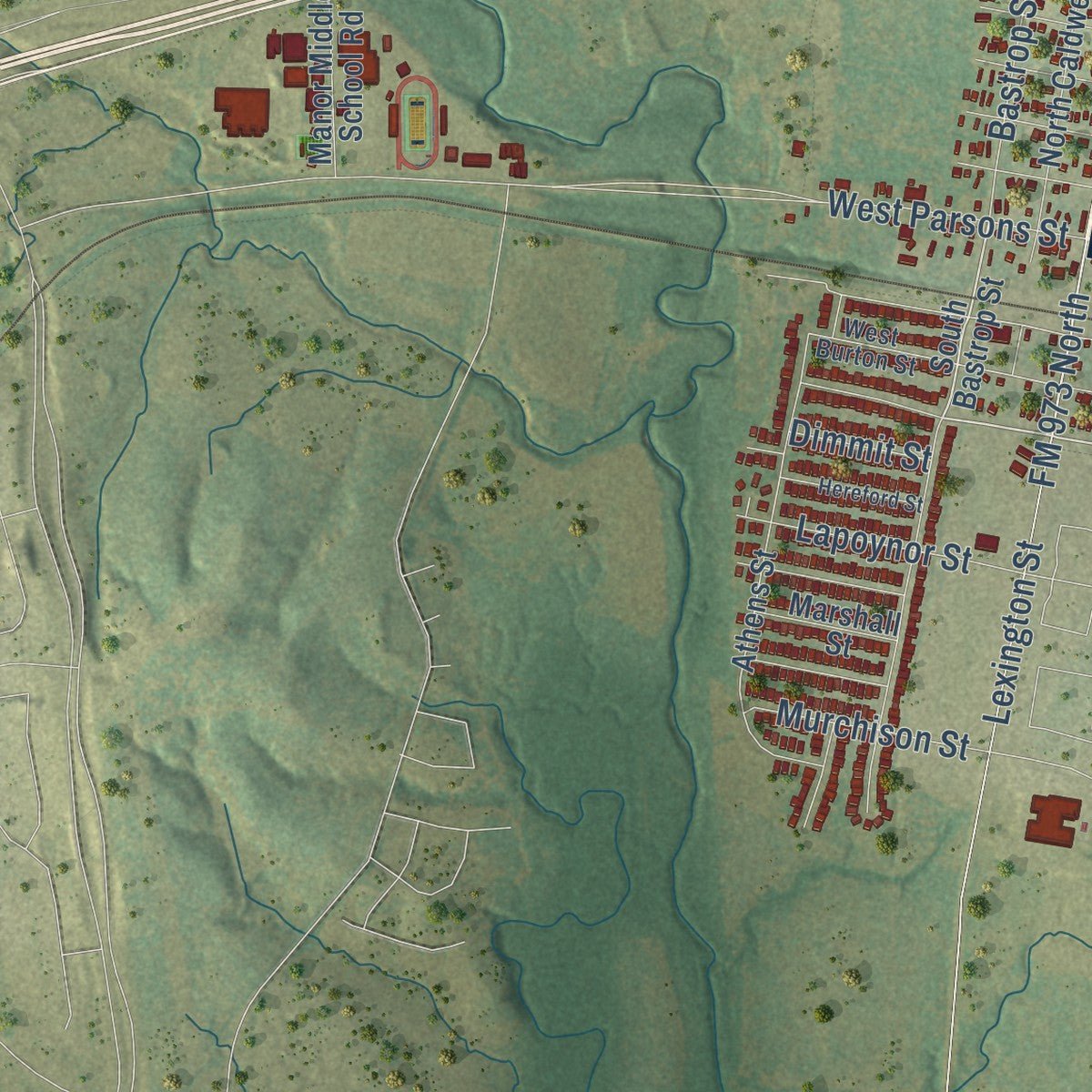
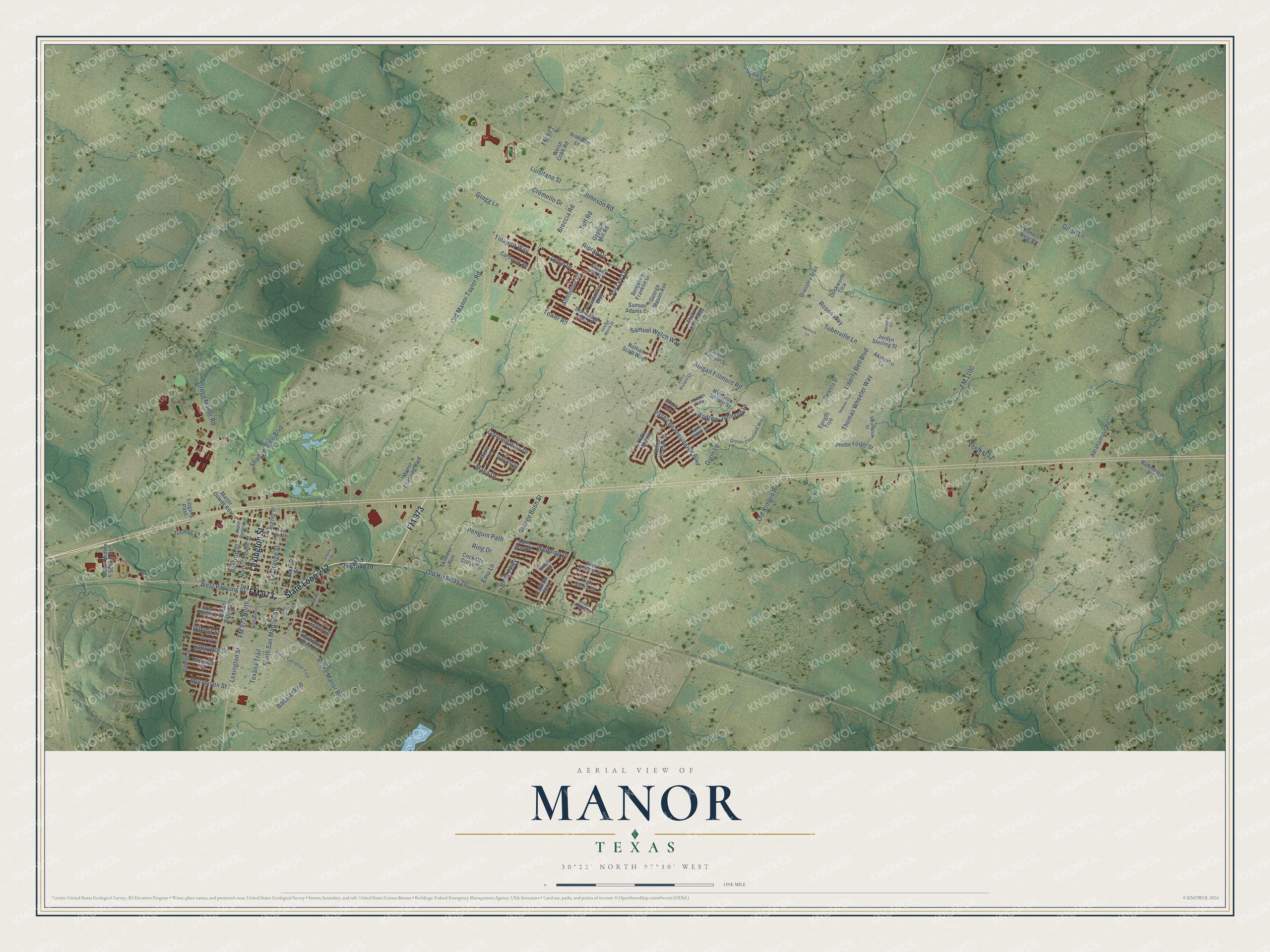
Explore Manor, Texas from a whole new perspective. Created using aerial imagery and detailed geographic data, this map captures Manor building by building, with labeled streets, familiar landmarks, and shaded topographical relief that highlights the natural contours of the landscape.
Combining modern data with the timeless character of a vintage atlas, this map is just as interesting up close as it is beautiful on the wall. Whether you grew up in Manor, spent memorable years there, or call it home today, this unique map is a great way to celebrate a place that means something to you. Zoom in on the preview to look for your street, and then order a print to put your memories on the wall.
Three ways to hang it
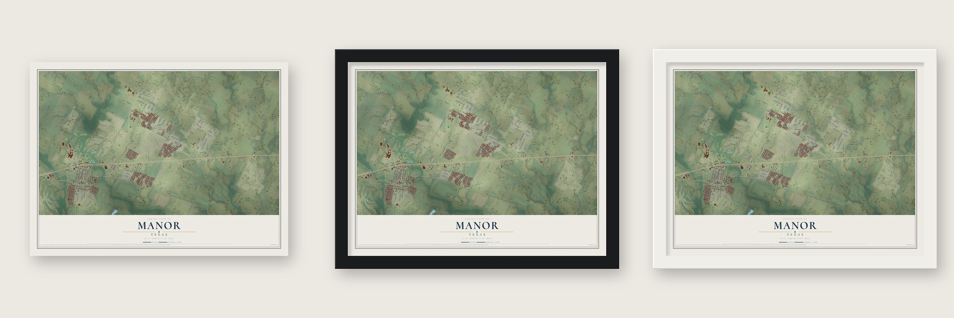
Unframed archival matte, a black wood frame or a white wood frame.
Up close
Geography Worth Displaying
This map was created using accurate cartographic data and authoritative geographic sources, including the U.S. Geological Survey and the Census Bureau. The map brings together terrain, waterways, roads, and building detail. The majority of the streets are labeled, houses are accurately depicted, and the topography is derived from government sources. Combining local data with carefully composed color and shading leads to this beautifully detailed Manor artwork for your wall.
Rather than simply showing street outlines, we’ve included as many of the street names as we could reasonably fit on the map while keeping their names legible. Zoom in on the high resolution preview to see exactly what’s on the map. We truly set out to create a statement piece for anyone who loves Manor. So whether it’s for you, or a gift for someone you love, we hope this map of Manor brings back fond memories.
Find your street
Names on the Manor map
Every name below is printed on this map. Look for your street, your school, the park where you played, or the pond down the road.
Streets and roads120
- State Loop 212
- Lexington Street
- FM 973
- Blake Manor Road
- La Grange Street
- Abigail Fillmore Road
- Breccia Road
- Old Highway 20
- Johnson Road
- Samuel Welch Way
- FM 973 North
- FM 1100
- Ring Drive
- Old Kimbro Road
- Gregg Manor Road
- Tower Road
- Bastrop Street
- Lapoynor Street
- Liberty Bell Boulevard
- Voelker Lane
- Shadow Glen Boulevard
- Jamie Drive
- South San Marcos Street
- Murchison Street
- Tinajero Way
- Paseo de Presidente Boulevard
- Rosen Way
- Andrew Johnson Drive
- Constellation Drive
- Thomas Wheeler Way
Show all 120 streets
- Maxa Drive
- Old Manor Taylor Road
- Gregg Lane
- Giese Lane
- Riprap Drive
- Emu Lane
- Tuberville Lane
- West Parsons Street
- Luisitano Street
- George Bush Street
- Tuff Road
- Jaron Drive
- Penguin Path
- Wedding Drive
- Bella Parkway
- Texana Trail
- Bacalar Bnd
- Almodine Road
- Joy Lee Lane
- Cremello Drive
- Gunn Lane
- Dimmit Street
- Manor Downs Road
- South Bastrop Street
- Saint Marydr
- Akinosho Lane
- Stoneridge Gap Lane
- Celesta Street
- Sherri Berry Way
- Grassley Trail
- Hamilton Point Circle
- Athens Street
- Burnet Street
- North Caldwell Street
- Nelson Houser Street
- Woodrow Wilson Street
- George Mason Avenue
- Carillon Way
- Clara Martin
- Welsh Cobb Road
- Manor Crossing Boulevard
- Abrahamson Road
- Samuel Adams Drive
- Manor Middle School Road
- Phebe Foster Street
- Arnhamn Lane
- Tillgang Pass
- Ballerstedt Road
- Timber Arch Lane
- Sparks Road
- Duckworth Trce
- Marie Lane
- Cummins Way
- Skimmer Run
- Lockhart Street
- Carbrook Road
- Cockatto Crossing
- Jordyn Sterling Street
- Pine Needle Street
- Kimbro West Road
- Nathan Scott Way
- High Sierra Street
- Tur Weg Lane
- Benjamin Franklin Drive
- Marshall Street
- Snow Lane
- Gallant Street
- Epright Trce
- Gypsum Mill Road
- Ellary Lane
- West Burton Street
- Cerro Castellan Trce
- James Manor Street
- Grover Cleveland Way
- North Bastrop Street
- Smithwick Street
- Caroline Harrison Street
- Llano Street
- South Burnet Street
- Heinrich Lane
- Howser Trce
- Perlange Pass
- East Lane Avenue
- Hereford Street
- Indian Oak Bend
- Henry Wallace Lane
- Jessie Road
- George Norris Drive
- Moroney Cv
- Smith Street
Names are listed as they appear on the printed map. Zoom into the product photos to find them.
About Manor, Texas
Manor is a city of 13,652 people in Travis County, twelve miles northeast of Austin along U.S. Highway 290. Its name honors James B. Manor, an early settler whose land lay on Gilleland Creek, west of what is now downtown. A post office named Grassdale opened in his home in 1859 with him as postmaster, but it closed in 1860.
In late 1871 the Houston and Texas Central Railway was building the first rail line to the Texas capital, and James Manor gave it right-of-way across his land. That gift brought the tracks through the spot where the town now stands, and the first train reached Austin on Christmas Day 1871. A post office called Gregg opened that year, and the next year it was renamed Manor to honor him as the new town was laid out and named.
- Cotton town on the railroadThe railroad gave farmers an easy way to reach markets, and Manor shipped cotton, cottonseed and grain. By the mid-1880s it had 125 people, a district school, three churches and six general stores. Estimates reached 500 by 1892, 900 by 1914 and 1,000 in the late 1920s. Then the Great Depression, the boll weevil and two fires that burned most of the business district kept Manor small for most of the twentieth century.
- Schools before the townManor had schools before it had a name. A school for boys opened in 1854 northwest of the present Manor High School complex, and a school for girls followed in 1858 near the present Manor Elementary School. A mercantile store went up in 1868 at the present cemetery, and a second store followed in 1869.
- Gilbert Grape's water towerParts of What's Eating Gilbert Grape, with Johnny Depp and Leonardo DiCaprio, were filmed in and around Manor. In the story, DiCaprio's character keeps climbing the town's old water tower. The tank no longer holds water, but it still stands as a downtown landmark. Several episodes of Fear the Walking Dead were filmed in Manor too.
- The airport that went southPlanners first looked at Manor as the place to build a new international airport that would replace the crowded Robert Mueller Municipal Airport. Environmental lawsuits from the Sierra Club and others slowed the plan until Bergstrom Air Force Base closed. The base was rebuilt as Austin-Bergstrom International Airport, which opened in 1999.
- Two firsts at city hallManor became the first government agency in the country to launch QR codes for residents and visitors, mounting 24 signs on city landmarks. In 2013 voters elected Rita Jonse, the city's first female Hispanic mayor, and in 2019 they chose Larry Wallace Jr., its first African-American mayor.
Keep exploring Texas
Manor is one of 2,049 Texas towns we've mapped. Every dot on the map is a print of its own.
The search covers every state, Texas first.
Near Manor
Order 2 or more town maps and save 10%. Shown in the size and finish you picked above, so they hang as a set.
- Cele 12" x 18" / Archival Matte Print $39.99
- Pflugerville 12" x 18" / Archival Matte Print $39.99
- Dunlap 12" x 18" / Archival Matte Print $39.99

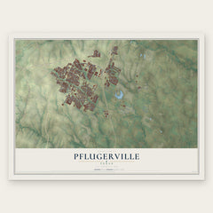
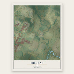
More maps nearby: Hornsby Bend, Windsor Park, St. Johns, Mueller and Webberville.
The art of mapping a place
How This Map Was Made
Real places. Remarkable detail. Discover the layers that turn geographic data into a map of home.

The view from above
Aerial imagery reveals the character of the land: woodland, open fields, and the patterns of a place.

The shape of the land
Elevation data brings hills, valleys, and subtle changes in the landscape into view.

The details of home
Roads, waterways, and building footprints come together to make the map feel unmistakably local.

Geography becomes art
Considered color, shading, and typography bring the layers together in a map made for your wall.


Process illustrated with Mendon, Massachusetts. Aerial imagery: USDA NAIP. Terrain: USGS 3D Elevation Program. Map details and finished artwork: KNOWOL.
The Details
About This Print
Choose an archival matte print, or a black or white Ayous wood frame. The archival matte print is unframed.
Select your size and finish above to see the matching product image and price.
Materials & Craftsmanship
A contemporary map with the character of a classic atlas, printed on archival matte paper. Optional frames are made from Ayous wood.
Your printed map does not include the watermark shown in the full-map preview.
Shipping & Delivery
Free shipping within the United States. Every print is made to order in the USA.
Buying a gift? Add a note in your cart and we'll include it. We never put prices in the package.
Prints ship within 2 to 3 business days. Allow 7 to 10 days total from ordering for delivery. Timing may vary during holidays or periods of high order volume.
Read our shipping policy.
Returns and damaged prints
Each print is made to order. Change-of-mind refunds are not available after production.
If your print arrives damaged, misprinted or incorrect, contact support@knowol.com within 30 days of receiving it. Include your order number, photos and a description of the issue.
Read our full refund and replacement policy. For questions about your order, email support@knowol.com.