
Search for another town

Free U.S. delivery 7 to 10 days after you order
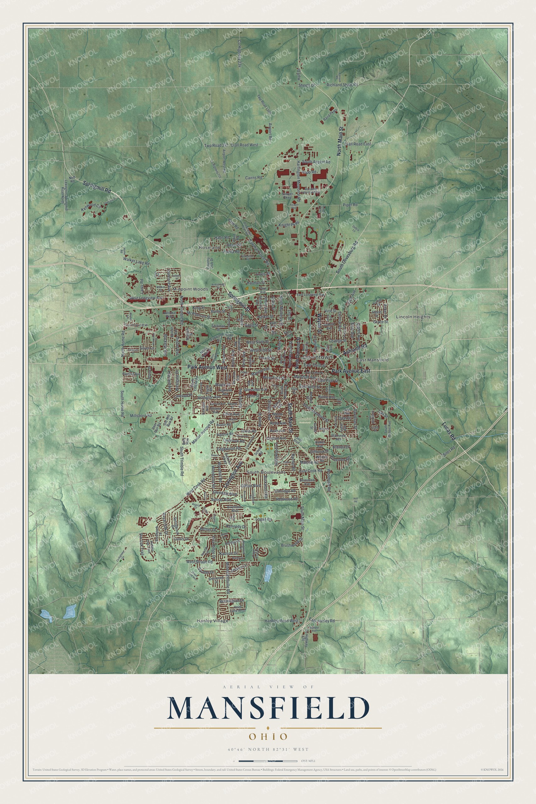
Mansfield, Ohio Map Art
Building by building, with labeled streets and shaded relief.
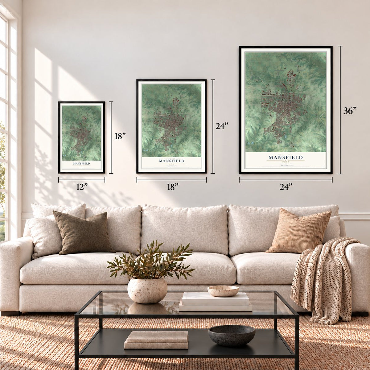
12" x 18" Archival Matte Print
A Map of Home. A Work of Art.
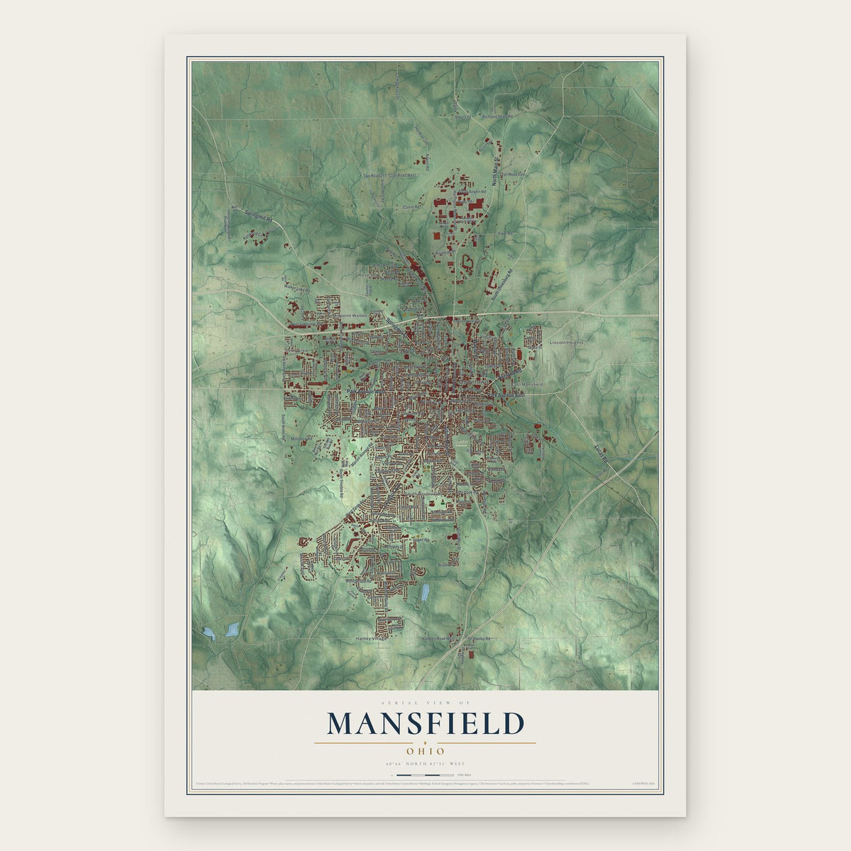
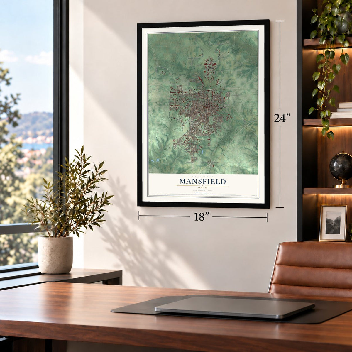
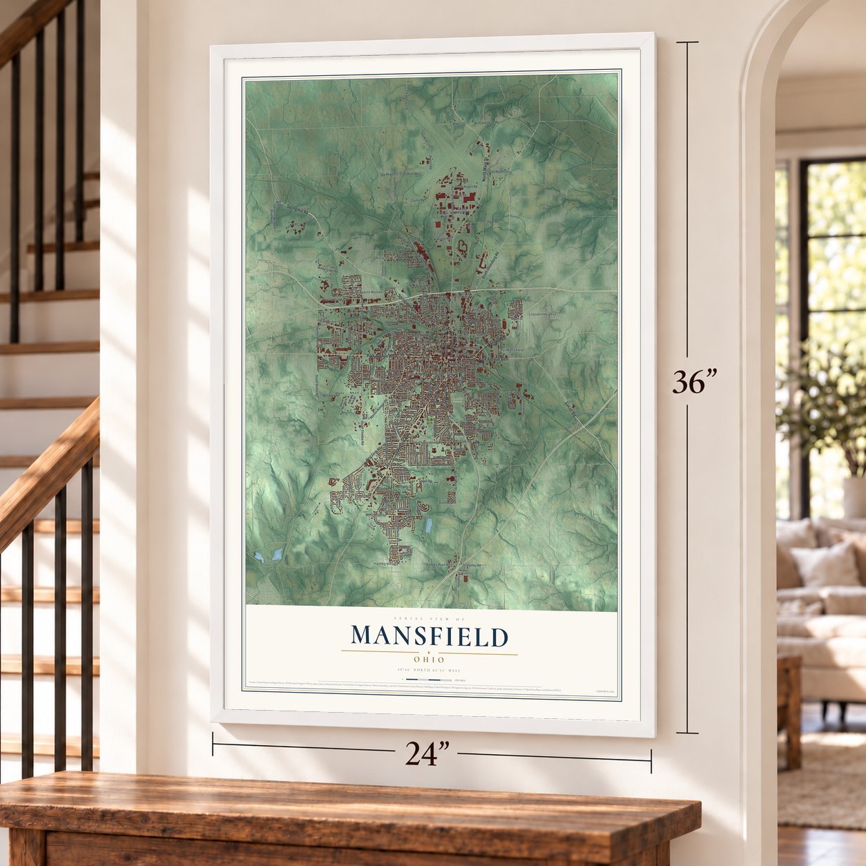
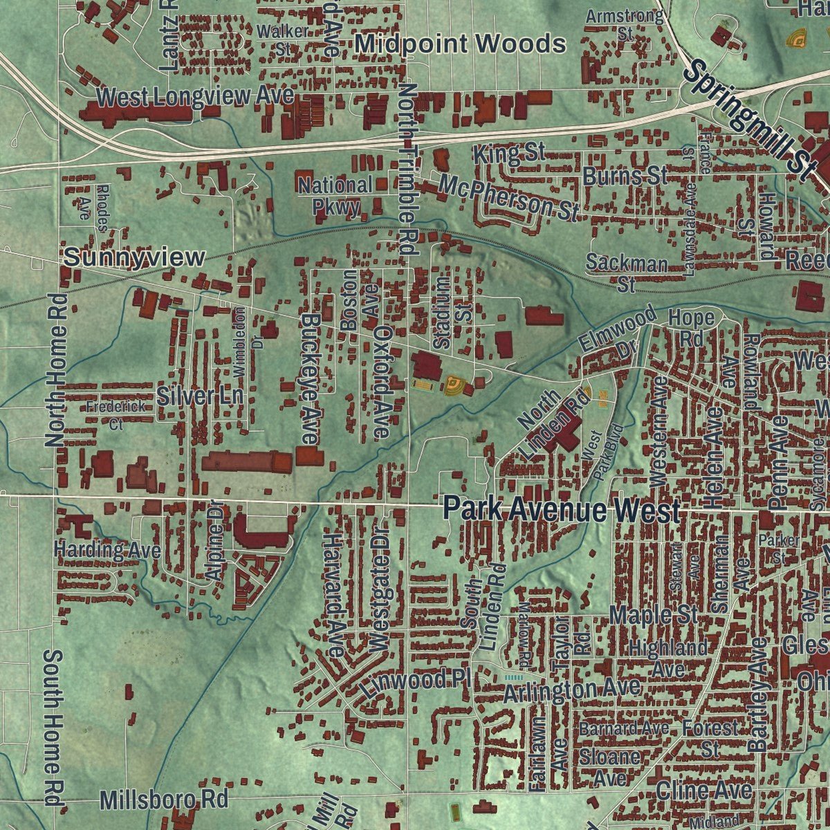
Explore Mansfield, Ohio from a whole new perspective. Created using aerial imagery and detailed geographic data, this map captures Mansfield building by building, with labeled streets, familiar landmarks, and shaded topographical relief that highlights the natural contours of the landscape.
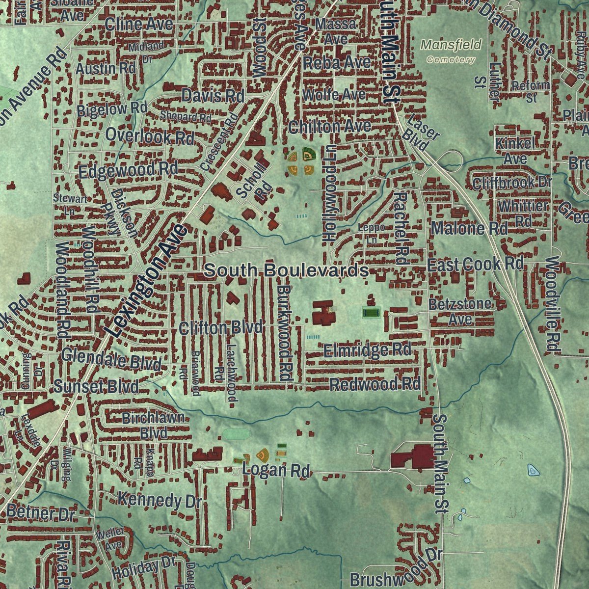
Combining modern data with the timeless character of a vintage atlas, this map is just as interesting up close as it is beautiful on the wall. Whether you grew up in Mansfield, spent memorable years there, or call it home today, this unique map is a great way to celebrate a place that means something to you. Zoom in on the preview to look for your street, and then order a print to put your memories on the wall.
Three ways to hang it
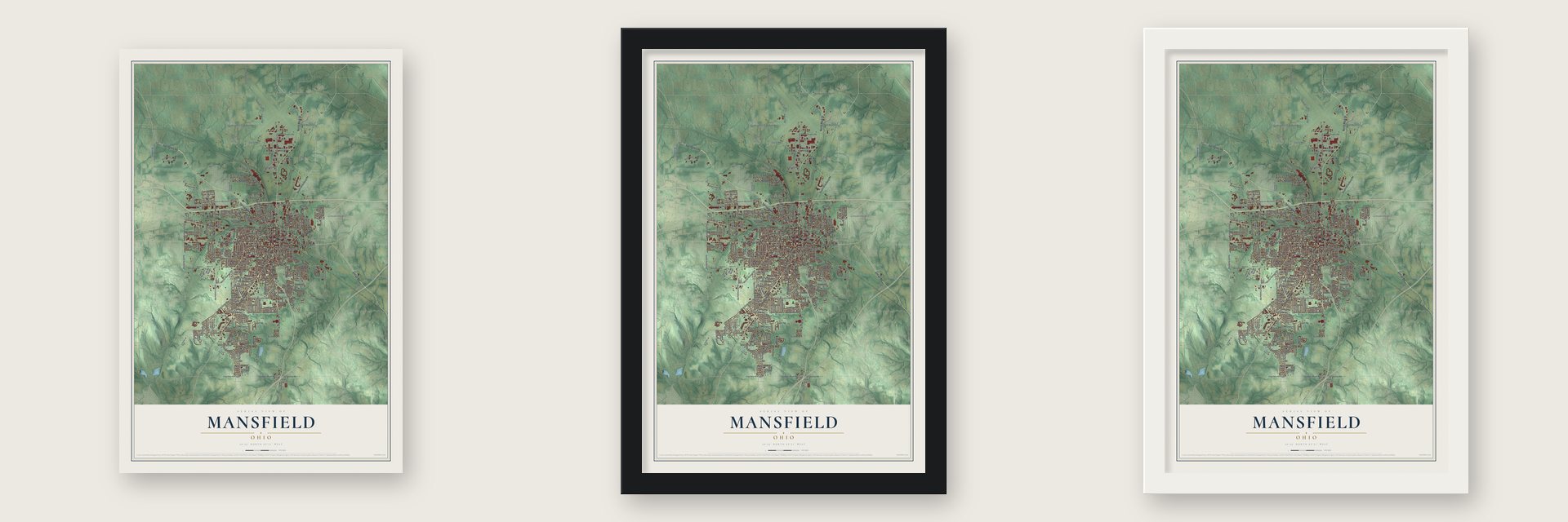
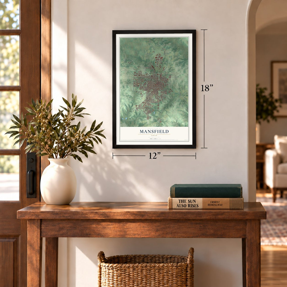
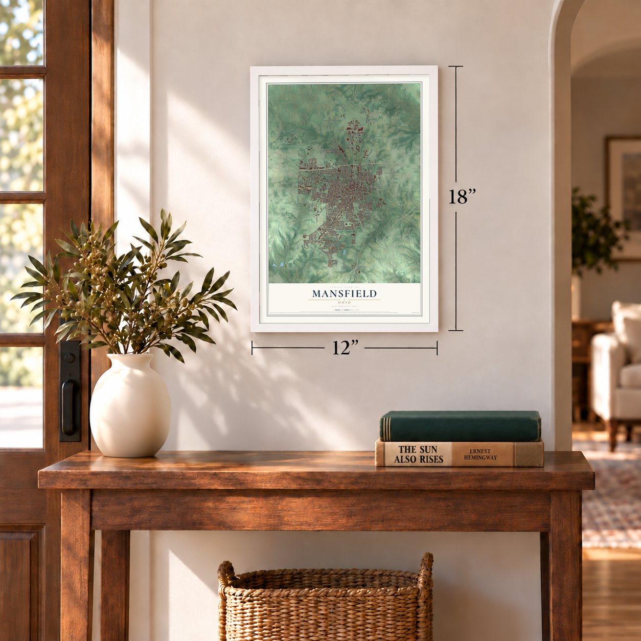
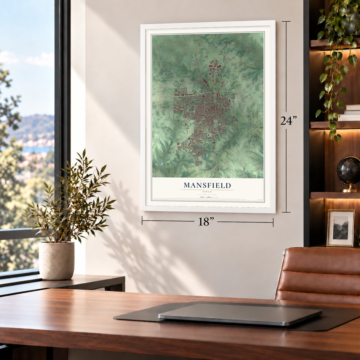
Unframed archival matte, a black wood frame or a white wood frame.
Up close
Geography Worth Displaying
This map was created using accurate cartographic data and authoritative geographic sources, including the U.S. Geological Survey and the Census Bureau. The map brings together terrain, waterways, roads, and building detail. The majority of the streets are labeled, houses are accurately depicted, and the topography is derived from government sources. Combining local data with carefully composed color and shading leads to this beautifully detailed Mansfield artwork for your wall.
Rather than simply showing street outlines, we’ve included as many of the street names as we could reasonably fit on the map while keeping their names legible. Zoom in on the high resolution preview to see exactly what’s on the map. We truly set out to create a statement piece for anyone who loves Mansfield. So whether it’s for you, or a gift for someone you love, we hope this map of Mansfield brings back fond memories.
Read the story behind this map of Mansfield, Ohio from 2026.
Find your street
Names on the Mansfield map
Every name below is printed on this map. Look for your street, your school, the park where you played, or the pond down the road.
Places and landmarks9
- Downtown
- Mansfield Cemetery
- East Mansfield
- Hanley Village
- Lincoln Heights
- Midpoint Woods
- Roseland
- South Boulevards
- Sunnyview
Streets and roads260
- Springmill Street
- Lucas Road
- Springmill Road
- South Main Street
- Lexington Avenue
- North Main Street
- Park Avenue West
- Ashland Road
- Park Avenue East
- Wayne Street
- North Mulberry Street
- Hanbley Road West
- West Longview Avenue
- East Hanley Road
- Bowman Street Road
- West Cook Road
- Fourth Street
- South Trimble Road
- Marion Avenue
- Middle Bellville Road
- North Home Road
- West Straub Road
- Woodville Road
- North Trimble Road
- Millsboro Road
- Logan Road
- Marion Avenue Road
- Harrington Memorial Road
- South Diamond Street
- Cairns Road
Show all 260 streets
- Oak Street
- Woodland Road
- South Home Road
- McPherson Street
- Fifth Avenue
- Grace Street
- Woodhill Road
- Clifton Boulevard
- Crall Road West
- Twp Road 247
- Sunset Boulevard
- West Sixth Street
- Airport Road
- East Cook Road
- Piper Road
- Orange Street
- Glessner Avenue
- Wood Street
- Cline Avenue
- Burns Street
- Redwood Road
- Bartley Avenue
- Sturges Avenue
- King Street
- Reed Street
- Kenwood Circle
- County Highway 234
- Bennington Drive
- Hanna Road
- Glendale Boulevard
- East Arch Street
- Marshall Avenue
- Central Avenue
- Richland Shale Road
- Concord Avenue
- Home Avenue
- Walker Lake Road
- West Fifth Street
- Maple Street
- Poth Road
- Edgewood Road
- Overlook Road
- Westgate Drive
- Ohio Street
- South Airport Road
- Harker Street
- Arlington Avenue
- Silver Lane
- Royal Oak Drive
- East Third Street
- Lantz Road
- Oxford Avenue
- Dean Road
- Davidson Street
- Greenlee Road
- West First Street
- Crall Road East
- Helen Avenue
- Sheets Drive
- Davis Road
- Malone Road
- Elmridge Road
- Buckeye Avenue
- Burkwood Road
- Linwood Place
- Harvard Avenue
- North Walnut Street
- Chilton Avenue
- East First Street
- Harmon Street
- Vine Street
- Riva Ridge Drive
- Sixth Avenue
- Hollywood Lane
- Brushwood Drive
- Penn Avenue
- Hahn Road
- Kennedy Drive
- Eighth Avenue
- Karlson Drive
- Pin Oak Trail
- Johns Avenue
- Opal Drive
- Sautter Drive
- Knight Parkway
- Rachel Road
- Brenda Drive
- Hoff Drive
- Grant Street
- Acker Drive
- Louis Street
- Curtis Drive
- Betner Drive
- Miller Street
- Reba Avenue
- Rupp Road
- Sites Road
- Lily Street
- South Olivesburg Road
- North Diamond Street
- North Linden Road
- Elmwood Drive
- Hope Road
- Lexington Springmill Road North
- Twp Road 1300
- South Linden Road
- Newman Street
- Springbrook Drive
- Dickson Parkway
- South Illinois Avenue
- Brookpark Drive
- Country Club Drive
- Airport West Road
- Fairlawn Avenue
- Sequoia Lane
- Highland Avenue
- Stocking Avenue
- Rowland Avenue
- Taylor Road
- Sherwood Drive
- Auburn Avenue
- Boston Avenue
- Hedges Street
- East Longview Avenue
- Deer Run Road
- First Avenue
- South Mulberry Street
- Scholl Road
- Betzstone Avenue
- Lind Avenue
- Surry Road
- Western Avenue
- Birchlawn Boulevard
- Topaz Avenue
- Sloane Avenue
- Luther Street
- Old Mill Run Road
- Cliffbrook Drive
- Wolfe Avenue
- Forest Drive
- Baird Parkway
- Hidden Oak Trail
- Abbott Drive
- National Parkway
- Alpine Drive
- Plainview Avenue
- Harding Avenue
- County Highway 320
- Vale Avenue
- Holiday Drive
- Sawyer Parkway
- Sackman Street
- Cape Cod Drive
- Sherman Avenue
- Bigelow Road
- Wilmar Avenue
- Heidi Lane West
- Austin Road
- Flint Street
- Stadium Street
- Howard Street
- Whittier Road
- Kinkel Avenue
- Forest Street
- Gem Avenue
- Massa Avenue
- Pond Road
- Neff Road
- Laser Boulevard
- Fern Avenue
- Bally Row
- Greenfield Drive
- Larchwood Road
- Fourth Avenue
- Sycamore Street
- Red Oak Trail
- Old Bowman State Road
- North Adams Street
- East Luther Place
- Mansfield Industrial Parkway
- Walker Street
- Bowers Avenue
- Pomerene Road
- Crescent Road
- Diane Drive
- County Highway 215
- Barnard Avenue
- Bailey Drive
- Weldon Avenue North
- Dougwood Drive
- Reform Street
- Stander Avenue
- Armstrong Street
- Ruby Avenue
- Conard Road
- Home Road
- High Street
- Debra Lane
- Aspira Court
- Bell Street
- University Drive
- Dale Avenue
- Stewart Lane
- Briarwood Road
- West Park Boulevard
- Caldwell Street
- Stewart Avenue
- Shepard Road
- Straub Road West
- Wimbledon Drive
- Dewey Avenue
- Frederick Court
- Lawnsdale Avenue
- Leppo Lane
- Rhodes Avenue
- County Highway 134
- Marlow Road
- Midland Drive
- Weller Avenue
- Lexdale Lane
- Spruce Street
- Cunning Drive
- France Street
- Paragon Parkway
- Wilging Drive
- Pollock Parkway
- Knapp Road
- Parker Street
- Delph Avenue
- Hull Road
Names are listed as they appear on the printed map. Zoom into the product photos to find them.
About Mansfield, Ohio
Mansfield is the seat of Richland County, a city of 47,534 people on a fork of the Mohican River. James Hedges, Joseph Larwell and Jacob Newman laid it out in June 1808 around a public square, today's Central Park, and named it for Colonel Jared Mansfield, the U.S. Surveyor General who directed the planning. That year Samuel Martin built the town's only house, a log cabin on lot 97. He fled after selling whiskey to Indians against the law, and James Cunningham moved into the cabin in 1809.
When the War of 1812 came, settlers raised two blockhouses on the square in a single night. One of them later held the county's first courthouse and jail until 1816. Mansfield became a village in 1828 and a city in 1857, when it had 5,121 people. Railroads reached it in 1846, 1849 and 1863, and by the late 1880s four lines had turned it into a busy place of factories and trade. By 1890 the city had grown to 13,473 people.
- Johnny Appleseed's night runJohn Chapman, known as Johnny Appleseed, came in the summer of 1809 as the first town lots went on sale and paid 120 dollars for lot 265. After shopkeeper Levi Jones was killed and rumors spread, he is believed to have left the square on the evening of August 9, 1813, riding all night to Clinton and Mount Vernon for more men. He sold the lot in 1818 for 100 dollars.
- The blockhouse in South ParkAfter serving as courthouse and jail, one of the 1812 blockhouses became a school, with Eliza Wolf as its teacher. At the town's 100th birthday celebration in 1908 it stood as a symbol of Mansfield's past, and in 1929 it was moved to South Park, where it still stands.
- Ohio Brass, born 1888In 1888 the city's largest employer was the cigar maker Hautzenroeder & Company, with 285 workers. That same year Frank B. Black borrowed $5,000 from relatives and started Ohio Brass Company, a foundry that turned out brass and bronze castings and electric railway supplies. Decades later, in the Rust Belt years, it was among the Mansfield plants that were bought out, moved or closed.
- Mansfield tires, 1912 to 1979The Mansfield Tire and Rubber Company began making automobile tires here in 1912. In the 1920s and 1930s its brand stood alongside Goodyear, Goodrich, Firestone and Uniroyal, and the company kept growing through the 1950s and 1960s. Production fell off in the 1970s, and when the plant closed in 1979, 1,721 workers lost their jobs. The company went bankrupt in the early 1980s.
- Bromfield's Oak Hill CottageOak Hill Cottage, a brick house in the Gothic Revival style, went up in 1847 for John Robinson, who ran the local railroad line to Sandusky and Newark as its superintendent. Mansfield native Louis Bromfield made the house the setting of his first novel, The Green Bay Tree, published in 1924.
Keep exploring Ohio
Mansfield is one of 1,389 Ohio towns we've mapped. Every dot on the map is a print of its own.
The search covers every state, Ohio first.
Near Mansfield
Order 2 or more town maps and save 10%. Shown in the size and finish you picked above, so they hang as a set.
- Roseland 12" x 18" / Archival Matte Print $39.99
- Ontario 12" x 18" / Archival Matte Print $39.99
- Lexington 12" x 18" / Archival Matte Print $39.99
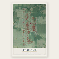
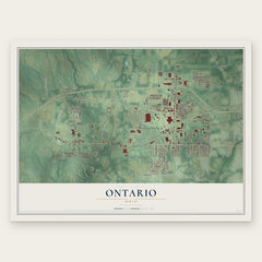
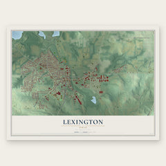
More maps nearby: Lucas, Mifflin, Bellville, Shelby and Crestline.
The art of mapping a place
How This Map Was Made
Real places. Remarkable detail. Discover the layers that turn geographic data into a map of home.

The view from above
Aerial imagery reveals the character of the land: woodland, open fields, and the patterns of a place.

The shape of the land
Elevation data brings hills, valleys, and subtle changes in the landscape into view.

The details of home
Roads, waterways, and building footprints come together to make the map feel unmistakably local.

Geography becomes art
Considered color, shading, and typography bring the layers together in a map made for your wall.


Process illustrated with Mendon, Massachusetts. Aerial imagery: USDA NAIP. Terrain: USGS 3D Elevation Program. Map details and finished artwork: KNOWOL.
The Details
About This Print
Choose an archival matte print, or a black or white Ayous wood frame. The archival matte print is unframed.
Select your size and finish above to see the matching product image and price.
Materials & Craftsmanship
A contemporary map with the character of a classic atlas, printed on archival matte paper. Optional frames are made from Ayous wood.
Your printed map does not include the watermark shown in the full-map preview.
Shipping & Delivery
Free shipping within the United States. Every print is made to order in the USA.
Buying a gift? Add a note in your cart and we'll include it. We never put prices in the package.
Prints ship within 2 to 3 business days. Allow 7 to 10 days total from ordering for delivery. Timing may vary during holidays or periods of high order volume.
Read our shipping policy.
Returns and damaged prints
Each print is made to order. Change-of-mind refunds are not available after production.
If your print arrives damaged, misprinted or incorrect, contact support@knowol.com within 30 days of receiving it. Include your order number, photos and a description of the issue.
Read our full refund and replacement policy. For questions about your order, email support@knowol.com.