
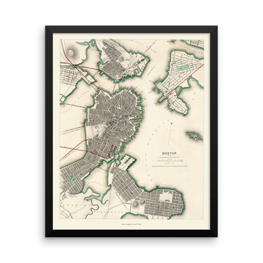
MAP OF BOSTON, CHARLESTOWN AND ROXBURY, MA FROM 1853
Beautifully designed. Printed on archival paper for modern walls.
Make a statement in any room with this framed reproduction printed on thick, durable, museum quality paper. The matte black frame adds an extra touch of class.
• Black Frame
• .75” thick
• Acrylite front protector
• Lightweight
• Hanging hardware included
HEIGHT: 20"
WIDTH: 16"
Printed in the United States. Please allow 10-14 business days for delivery.
Aerial map of Boston, Charlestown and Roxbury, Massachusetts in 1853: see the history behind this piece in the KNOWOL library, with old photographs and the story of the town.
The Details
About This Print
A physical reproduction of the artwork shown. Choose the available size and format above. The product description provides the subject and edition details.
A frame is included only when the product or selected option is described as framed.
Materials & Craftsmanship
This reproduction is printed on archival paper. Framing materials for framed editions are listed in the product description. Decorative room props shown in display photographs are not included.
Shipping & Delivery
Free shipping within the United States. Every print is made to order in the USA.
Buying a gift? Add a note in your cart and we'll include it. We never put prices in the package.
Prints ship within 2 to 3 business days. Allow 7 to 10 days total from ordering for delivery. Timing may vary during holidays or periods of high order volume.
Read our shipping policy.
Returns & Quality Guarantee
Each print is made to order. Change-of-mind refunds are not available after production.
If your print arrives damaged, misprinted or incorrect, contact support@knowol.com within 30 days of receiving it. Include your order number, photos and a description of the issue.
Read our full refund and replacement policy. For questions about your order, email support@knowol.com.