
Search for another town





Free U.S. delivery 7 to 10 days after you order
Marianna, Florida Map Art
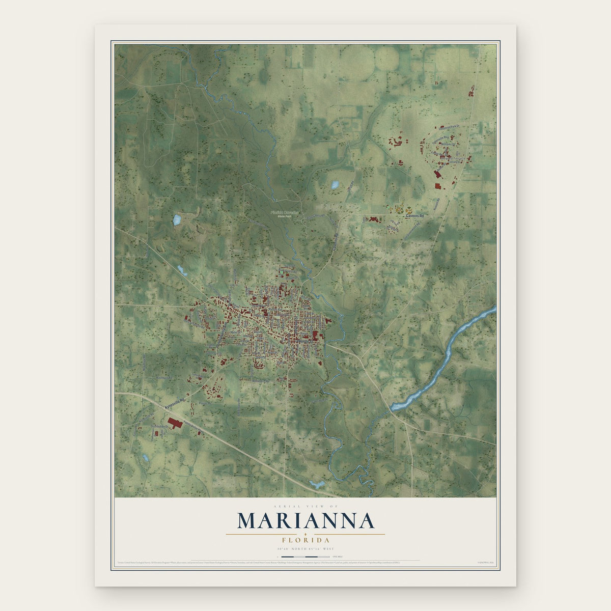
A new map of Marianna, Florida, made in 2026 and printed to order on thick archival matte paper.
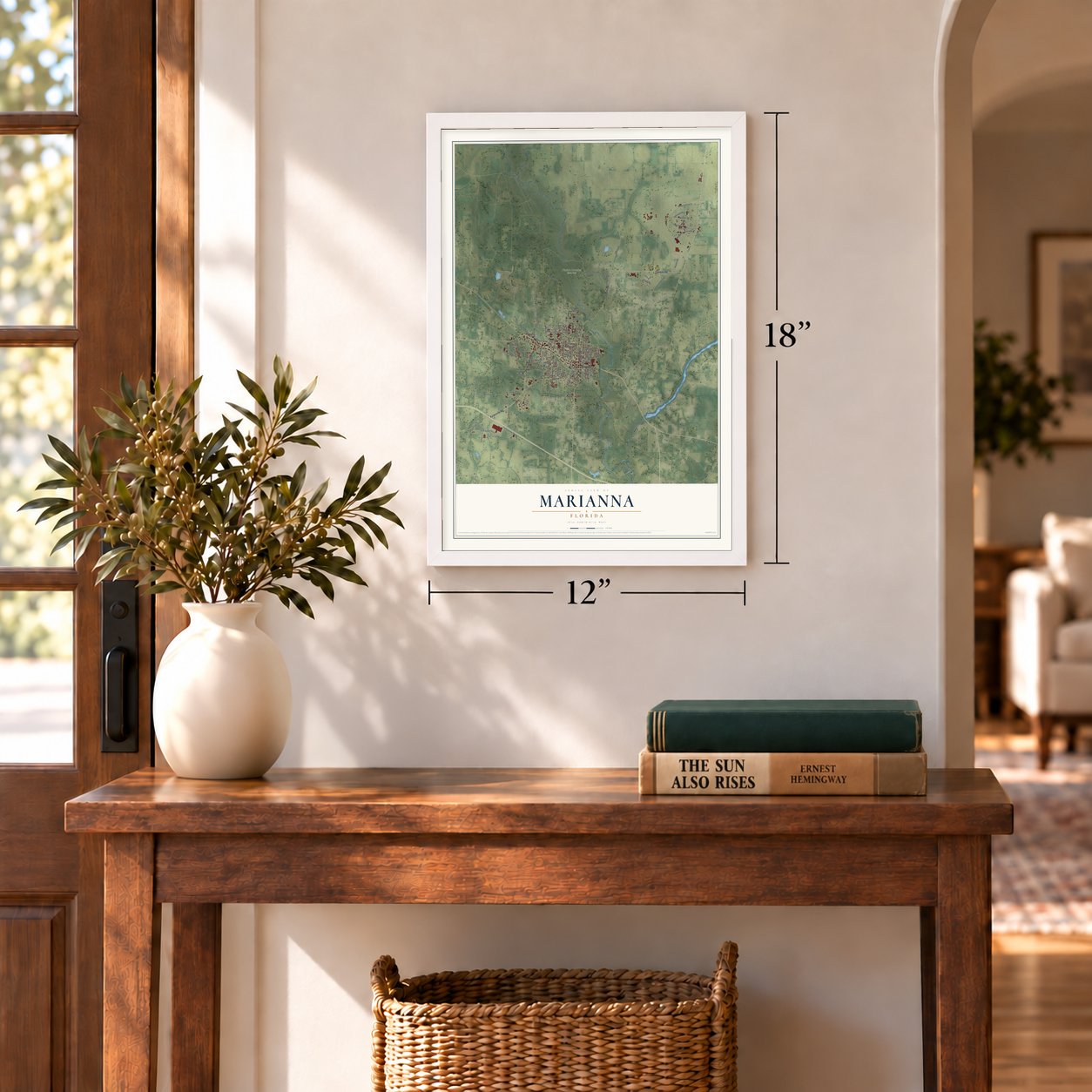
12" x 18" Archival Matte Print
A Map of Home. A Work of Art.
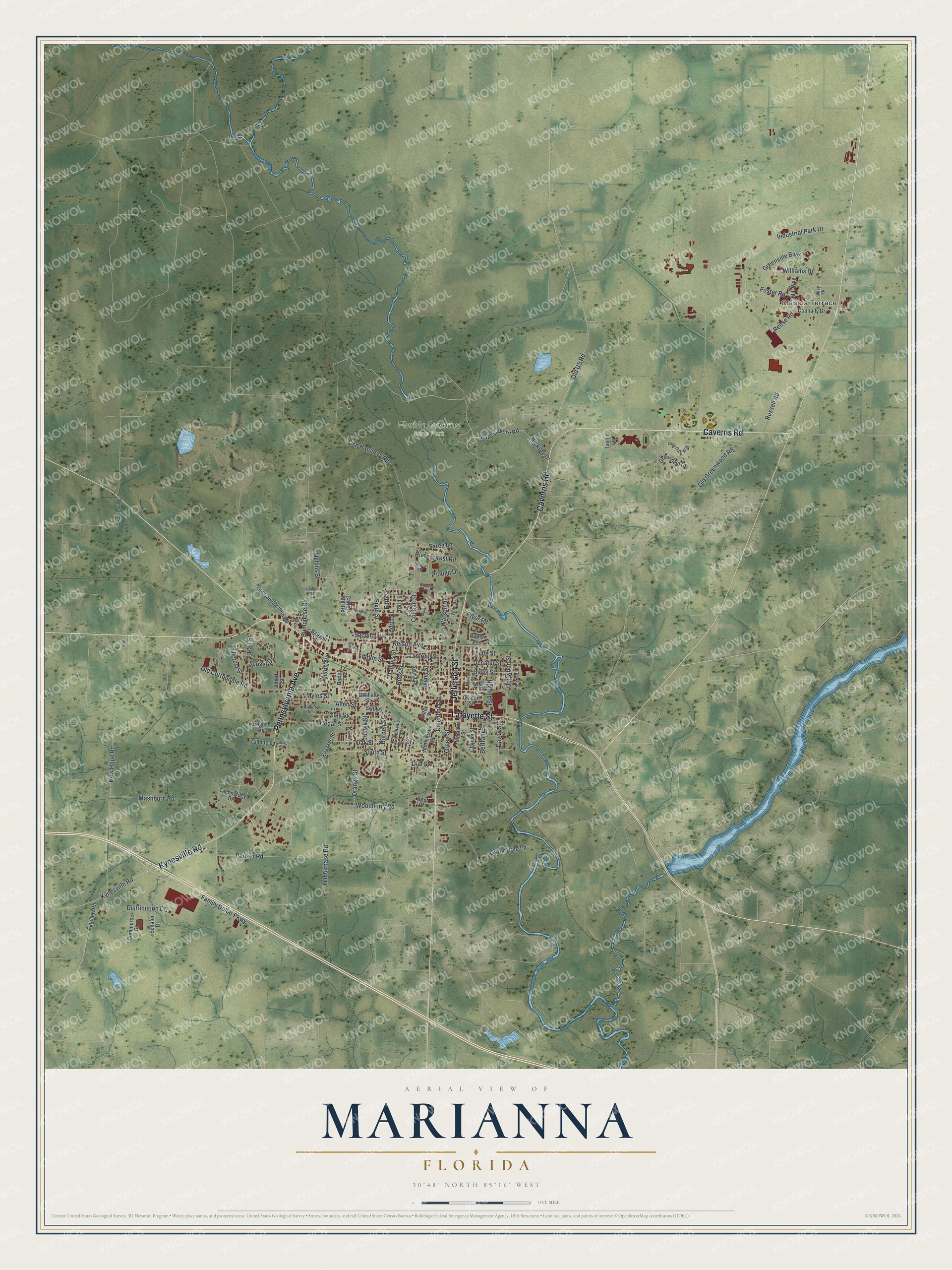
Explore Marianna, Florida from a whole new perspective. Created using aerial imagery and detailed geographic data, this map captures Marianna building by building, with labeled streets, familiar landmarks, and shaded topographical relief that highlights the natural contours of the landscape.
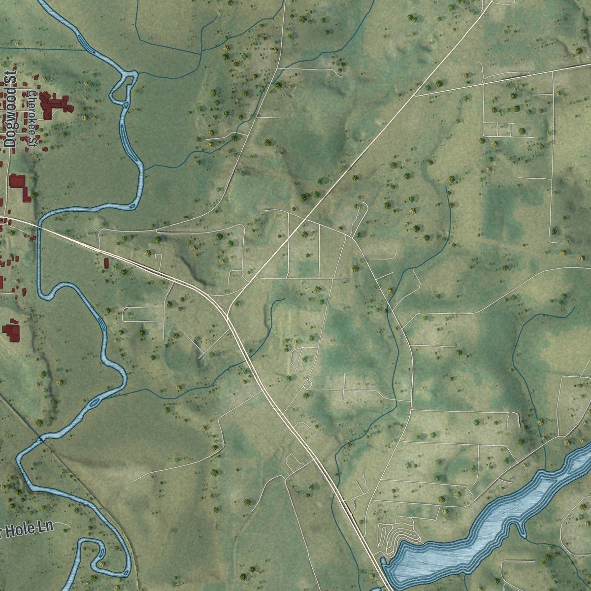
Combining modern data with the timeless character of a vintage atlas, this map is just as interesting up close as it is beautiful on the wall. Whether you grew up in Marianna, spent memorable years there, or call it home today, this unique map is a great way to celebrate a place that means something to you. Zoom in on the preview to look for your street, and then order a print to put your memories on the wall.
Three ways to hang it
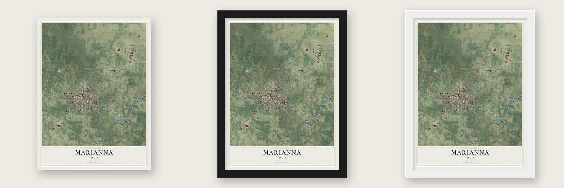
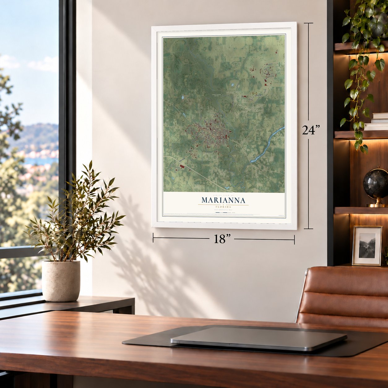
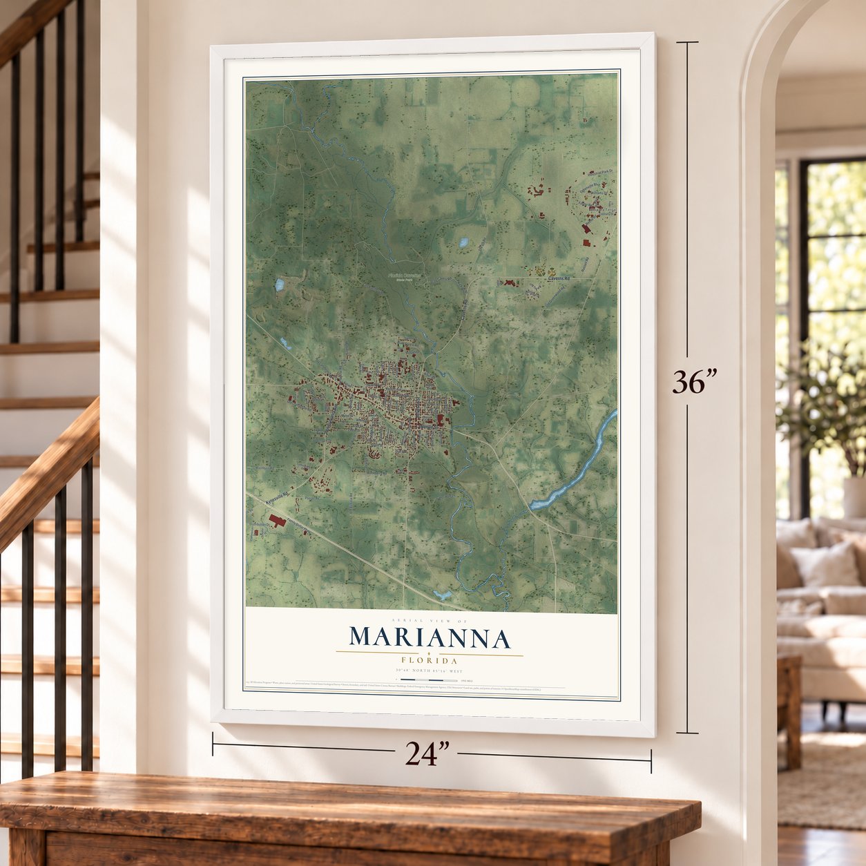
Unframed archival matte, a black wood frame or a white wood frame.
Up close
Geography Worth Displaying
This map was created using accurate cartographic data and authoritative geographic sources, including the U.S. Geological Survey (USGS) and FEMA. The map brings together terrain, waterways, roads, and building detail. The majority of the streets are labeled, houses are accurately depicted, and the topography is derived from government sources. Combining local data with carefully composed color and shading leads to this beautifully detailed Marianna artwork for your wall.
Rather than simply showing street outlines, we’ve included as many of the street names as we could reasonably fit on the map while keeping their names legible. Zoom in on the high resolution preview to see exactly what’s on the map. We truly set out to create a statement piece for anyone who loves Marianna. So whether it’s for you, or a gift for someone you love, we hope this map of Marianna brings back fond memories.
Explore the full map of Marianna, Florida and read about the local places it shows.
About Marianna, Florida
Marianna is a city of 6,245 people and the county seat of Jackson County, in the Florida Panhandle. Scott Beveridge, a Scottish businessman, founded the town in 1828 on the banks of the Chipola River and named it for his daughters, Mary and Anna.
A year later Marianna became the seat of Jackson County, and merchants left the old seat at Webbville, which soon disappeared. Planters from North Carolina arrived next, drawn by the rich soil. Their new plantations depended on enslaved African Americans, who had been brought from the Upper South and were forced to work the land.
- The Battle of Marianna, 1864In 1864 roughly 700 Federal troops faced a much smaller home guard in Marianna, about 150 wounded soldiers, older men and boys. The grounds of St. Luke's Episcopal Church are state landmarks today for the part they played in that battle.
- A governor in St. Luke's churchyardGovernor John Milton, a Marianna planter who led Florida through the Civil War, is buried in the churchyard at St. Luke's. He was found shot dead at his Sylvania Plantation on April 1, 1865. The New York Times called it suicide, while the West Florida News reported a hunting accident.
- T. Thomas Fortune, born 1856Timothy Thomas Fortune was born enslaved in Marianna on October 3, 1856. After the war he studied at a school run by Union troops and the Freedmen's Bureau and learned printing at the Marianna Courier, while his father, Emanuel, helped write the state's 1868 constitution and won a seat in the Florida House. Mob violence forced the family out to Jacksonville in 1869. Around 1880 Fortune moved to New York, where he became managing editor of The New York Age.
- Caves dug by hand in 1938Andrew Jackson's army used a natural bridge to cross the Chipola just north of town in 1818. A Civilian Conservation Corps company arrived there in 1938 to open the caves, digging mostly with picks and shovels, and their chisel marks still show. The caverns welcomed visitors in 1941, and Florida Caverns State Park opened in 1942. It is the only Florida state park with guided tours of a dry cave system.
- Hurricane Michael in 2018On October 10, 2018, Hurricane Michael struck Marianna as a Category 5 storm. Several historic downtown buildings collapsed and blocked Lafayette Street, the city went three weeks without power, and more than 80% of its homes and businesses were heavily damaged or destroyed. It was the worst natural disaster in Marianna's history, worse than the F-3 tornado that Hurricane Ivan spun off in September 2004.
Find your street
Names on the Marianna map
Every name below is printed on this map. Look for your street, your school, the park where you played, or the pond down the road.
Places and landmarks2
- Chipola Terrace
- Florida Caverns State Park
Streets and roads114
- Pennsylvania Avenue
- Caverns Road
- Lafayette Street
- Jefferson Street
- Kynesville Road
- Foster Road
- Reese Road
- Old Greenwood Road
- Russell Road
- College Street
- Industrial Park Drive
- Mashburn Road
- Pooser Road
- South Street
- Old Cottondale Road
- Kelson Avenue
- Fish Hatchery Road
- Williams Drive
- Family Dollar Parkway
- Greenville Boulevard
- Wynn Street
- Caledonia Street
- Old Airbase Road
- Orange Street
- Gator Hole Lane
- Old US Road
- Noland Street
- Green Street
- Cedar Street
- Clay Street
Show all 114 streets
- Hickory Drive
- State Cavern Road
- Bumpnose Road
- Watson Drive
- Distribution Drive
- Davis Street
- Bertram Street
- Borden Street
- Woodberry Road
- River Forest Road
- Dogwood Street
- Deering Street
- Sarea Lane
- Fourth Street
- Sunset Drive
- Hall Street
- Second Avenue
- Decatur Street
- Pearl Street
- Davey Street
- Sixth Street
- Milton Avenue
- New Hope Road
- Oak Street
- Russ Street
- Fifth Street
- Daniels Street
- Hawk Street
- Hillcrest Street
- Liddon Street
- Prough Drive
- Lime Street
- Mullins Street
- River Road
- Allen Street
- Dial Street
- Myles Street
- Connally Drive
- Carters Mill Road
- Madison Street
- Eva Mae Street
- Clinton Street
- Old Campbellton Road
- Greenfield Drive
- Technology Circle
- Park Street
- Fairview Road
- Third Street
- Chipola Street
- McPherson Street
- Mill Way
- Kent Drive
- Commerce Drive
- Sylvia Drive
- Baltzell Street
- Schafer Drive
- Skyview Road
- English Road
- Gillette Lane
- Swilley Street
- Graham Street
- Taylor Lane
- Butler Avenue
- Albert Street
- Harley Drive
- Estes Street
- Wiley Drive
- Grey Oak Way
- Second Street
- Hickory Lane
- Miltonia Avenue
- Cherokee Street
- Walnut Lane
- Success Lane
- Long Street
- Hoop Drive
- Lee Street
- Hospital Drive
- Indian Circle
- Spring Street
- Gilmore Road
- Sunrise Drive
- Kenny Street
- Oates Street
Names are listed as they appear on the printed map. Zoom into the product photos to find them.
The art of mapping a place
How This Map Was Made
Real places. Remarkable detail. Discover the layers that turn geographic data into a map of home.

The view from above
Aerial imagery reveals the character of the land: woodland, open fields, and the patterns of a place.

The shape of the land
Elevation data brings hills, valleys, and subtle changes in the landscape into view.

The details of home
Roads, waterways, and building footprints come together to make the map feel unmistakably local.

Geography becomes art
Considered color, shading, and typography bring the layers together in a map made for your wall.


Process illustrated with Mendon, Massachusetts. Aerial imagery: USDA NAIP. Terrain: USGS 3D Elevation Program. Map details and finished artwork: KNOWOL.
The Details
About This Print
Choose an archival matte print, or a black or white Ayous wood frame. The archival matte print is unframed.
Select your size and finish above to see the matching product image and price.
Materials & Craftsmanship
A contemporary map with the character of a classic atlas, printed on archival matte paper. Optional frames are made from Ayous wood.
Your printed map does not include the watermark shown in the full-map preview.
Shipping & Delivery
Free shipping within the United States. Every print is made to order in the USA.
Buying a gift? Add a note in your cart and we'll include it. We never put prices in the package.
Prints ship within 2 to 3 business days. Allow 7 to 10 days total from ordering for delivery. Timing may vary during holidays or periods of high order volume.
Read our shipping policy.
Returns and damaged prints
Each print is made to order. Change-of-mind refunds are not available after production.
If your print arrives damaged, misprinted or incorrect, contact support@knowol.com within 30 days of receiving it. Include your order number, photos and a description of the issue.
Read our full refund and replacement policy. For questions about your order, email support@knowol.com.
Find your town
Looking for another city?
Find a map of home in our Florida collection, or any town in the country.
Nearby
Maps of towns near Marianna
Know someone from one of these towns? Their map makes a great gift.
 Greenwood
, Florida
From $39.99See the map
 Cottondale
, Florida
From $39.99See the map
 Bascom
, Florida
From $39.99See the map
More maps nearby: Alford, Malone, Jacob City, Grand Ridge and Campbellton.