
Search for another town


Free U.S. delivery 7 to 10 days after you order
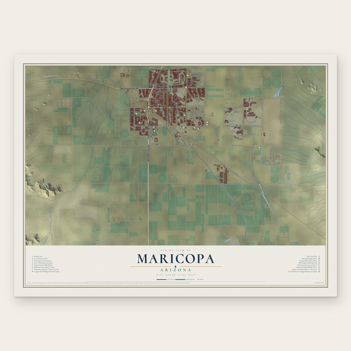
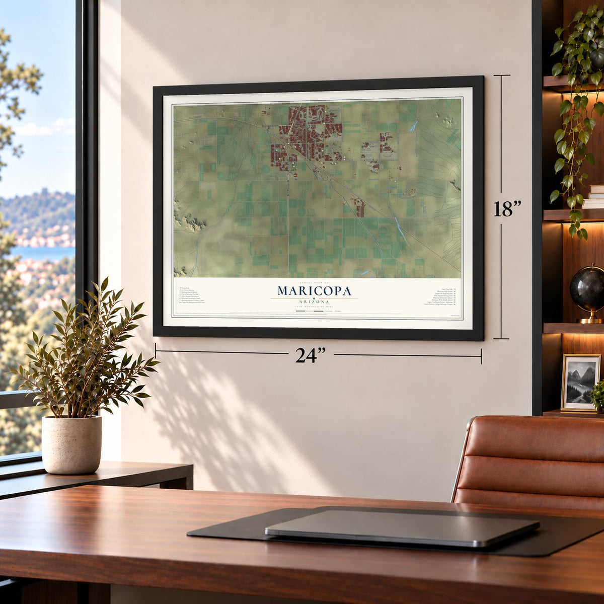
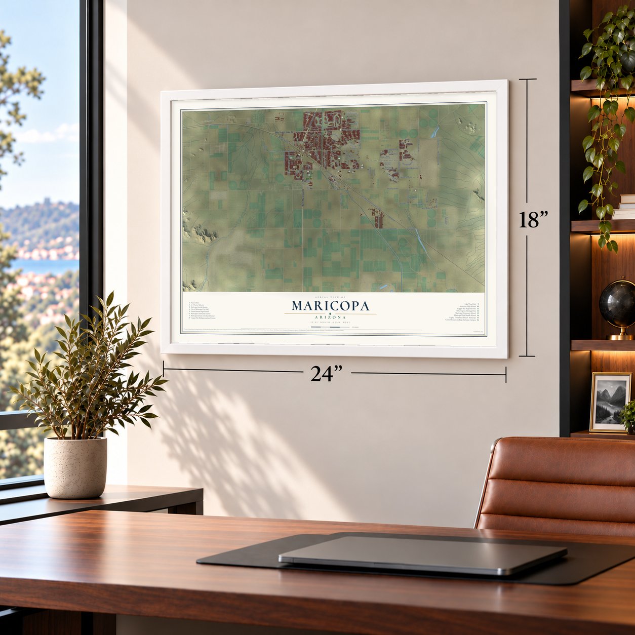
Maricopa, Arizona Map Art
Building by building, with labeled streets and shaded relief.
12" x 18" Archival Matte Print
A Map of Home. A Work of Art.
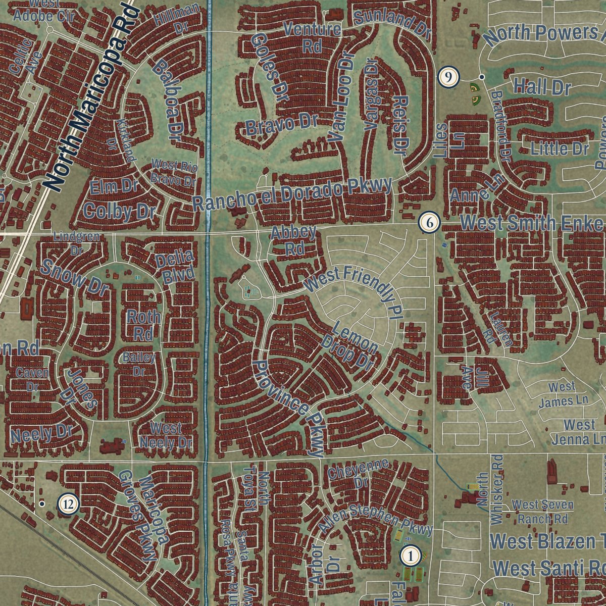
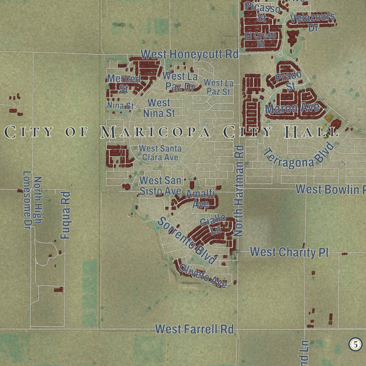
Explore Maricopa, Arizona from a whole new perspective. Created using aerial imagery and detailed geographic data, this map captures Maricopa building by building, with labeled streets, familiar landmarks, and shaded topographical relief that highlights the natural contours of the landscape.
Combining modern data with the timeless character of a vintage atlas, this map is just as interesting up close as it is beautiful on the wall. Whether you grew up in Maricopa, spent memorable years there, or call it home today, this unique map is a great way to celebrate a place that means something to you. Zoom in on the preview to look for your street, and then order a print to put your memories on the wall.

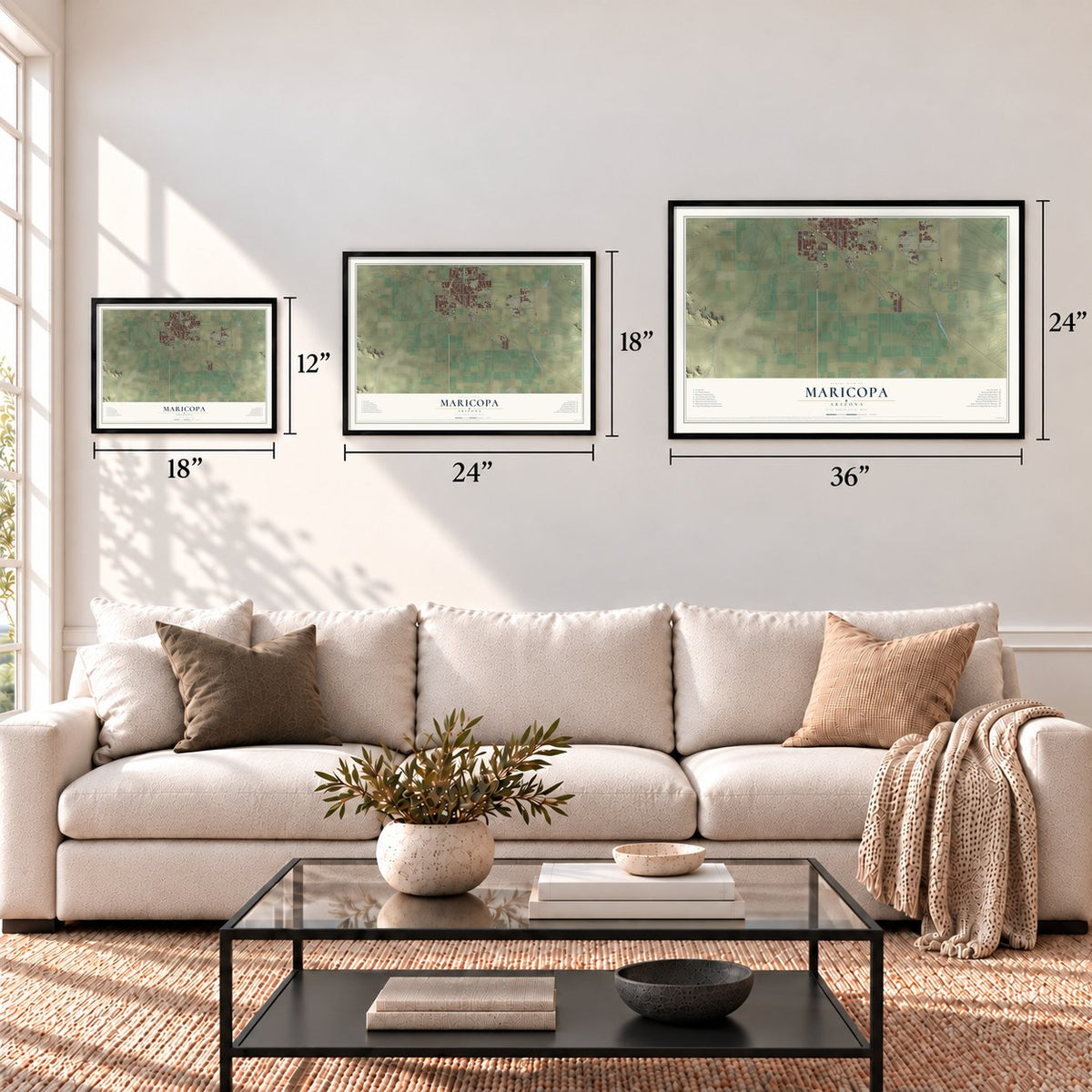
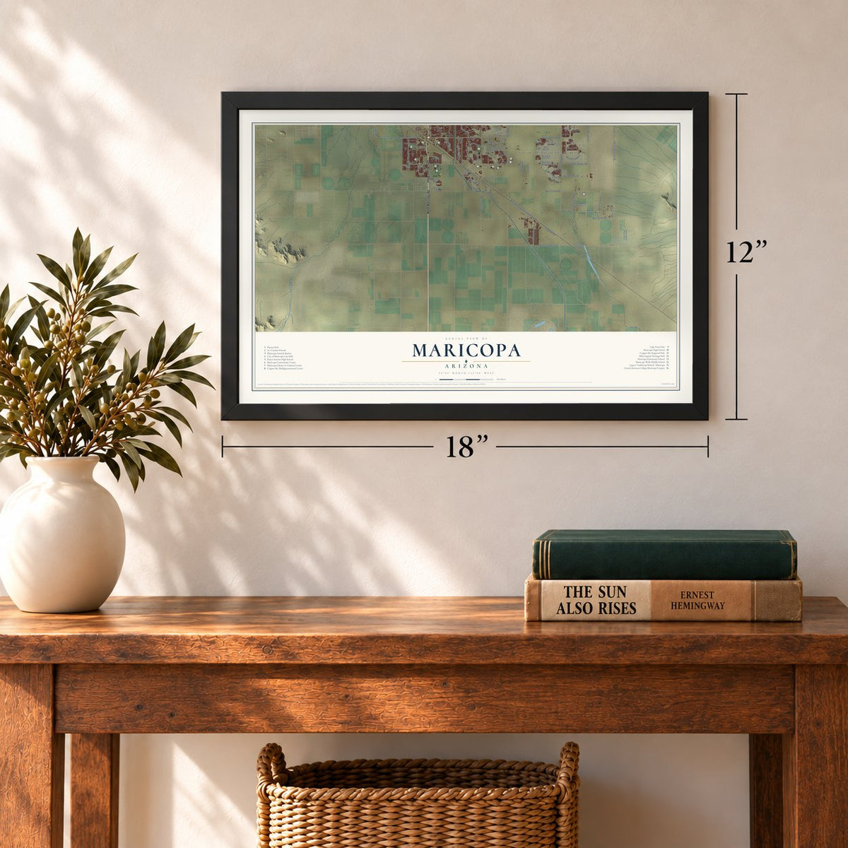
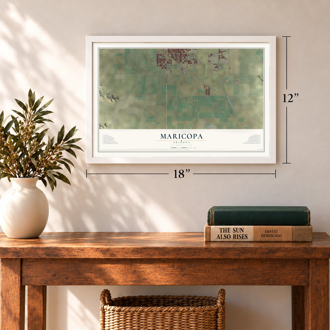
Three ways to hang it
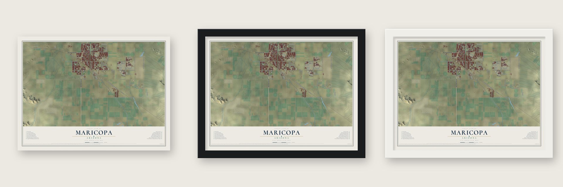
Unframed archival matte, a black wood frame or a white wood frame.
Up close
Geography Worth Displaying
This map was created using accurate cartographic data and authoritative geographic sources, including the U.S. Geological Survey (USGS) and FEMA. The map brings together terrain, waterways, roads, and building detail. The majority of the streets are labeled, houses are accurately depicted, and the topography is derived from government sources. Combining local data with carefully composed color and shading leads to this beautifully detailed Maricopa artwork for your wall.
Rather than simply showing street outlines, we’ve included as many of the street names as we could reasonably fit on the map while keeping their names legible. Zoom in on the high resolution preview to see exactly what’s on the map. We truly set out to create a statement piece for anyone who loves Maricopa. So whether it’s for you, or a gift for someone you love, we hope this map of Maricopa brings back fond memories.
Explore the full map of Maricopa, Arizona and read about the local places it shows.
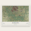
Find your street
Names on the Maricopa map
Every name below is printed on this map. Look for your street, your school, the park where you played, or the pond down the road.
Places and landmarks2
- City of Maricopa City Hall
- Heaton
Streets and roads141
- North Maricopa Road
- John Wayne Parkway
- West Smith Enke Road
- North Porter Road
- Hogenes Boulevard
- West Bowlin Road
- West Blazen Trail
- Snow Drive
- West Farrell Road
- Indian Route 97
- West Peters and Nall Road
- West Garvey Avenue
- Goles Drive
- West Maricopa-Casa Grande Highway
- West Honeycutt Road
- North White and Parker Road
- North Murphy Road
- North Hartman Road
- Cowtown Road
- Rancho el Dorado Parkway
- West Steen Road
- North Anderson Road
- West Cowtown Road
- Province Parkway
- North Freeland Lane
- West Edwards McDavid Road
- North Green Road
- West Edison Road
- Terragona Boulevard
- Colby Drive
Show all 141 streets
- North Pala Road
- West Charity Place
- La Brea Road
- West Prancer Road
- Van Loo Drive
- North Fuqua Road
- North Powers Parkway
- Sorrento Boulevard
- Balboa Drive
- Bravo Drive
- Santa Rosa Drive
- West Santi Road
- Fuqua Road
- Hall Drive
- Reis Drive
- Maron Avenue
- Lococo Street
- Teel Road
- Mescal Street
- Merced Street
- West Nina Street
- Anne Lane
- Anderson Road
- West Palo Nuez Street
- Amalfi Avenue
- Dirk Street
- Falcon Lane
- Madrid Avenue
- North High Lonesome Drive
- Powers Parkway
- Alterra Parkway
- West San Sisto Avenue
- West Friendly Place
- Sunland Drive
- West La Brea Road
- North Santa Rosa Avenue
- Miller Way
- Little Drive
- Sunset Drive
- Venture Road
- Velazours Drive
- Peters and Nall Road
- Maricopa Groves Parkway
- Roth Road
- Elm Drive
- North Ralston Road
- High Desert Trail
- Zion Road
- North Rachael Road
- Dutchman Drive
- Oliveto Avenue
- Lemon Drop Drive
- Rosa Drive
- Sky Lane
- West La Paz Drive
- Jones Drive
- Vargas Drive
- Giallo Lane
- Neely Drive
- Picasso Street
- Abbey Road
- Cielo Lane
- Arbor Drive
- Delia Boulevard
- Rio Drive
- Prado Street
- Liles Lane
- Allen Stephen Parkway
- North Toya Street
- West Honeycutt Avenue
- West Santa Clara Avenue
- West Jenna Lane
- Hillman Drive
- North Santa Rosa Parkway
- North Whisker Road
- Bradford Drive
- Celtic Avenue
- West Palo Cedro Road
- West Adobe Circle
- North Rosa Drive
- West La Paz Street
- Cheyenne Drive
- Nina Street
- North White Road
- El Creco Street
- West Neely Drive
- Holly Drive
- Mary Lou Drive
- Jill Avenue
- West Lucera Lane
- Lindgren Drive
- Bailey Drive
- Santa Rosa Parkway
- West McDavid Road
- North Roosevelt Avenue
- West Applegate Road
- Caven Drive
- West James Lane
- West Seven Ranch Road
- Windmill Drive
- Paraiso Lane
- North Warren Road
- Cypress Lane
- Sage Brush Drive
- North Arbor Drive
- West Helen Court
- Barbara Lane
- North Jericho Road
- West Rio Bravo Drive
- Kirkland Drive
- Lauren Road
Names are listed as they appear on the printed map. Zoom into the product photos to find them.
About Maricopa, Arizona
Maricopa is a city of 58,125 people in Pinal County, in the Gila River Valley. The town has stood in three spots under three earlier names. It started at Maricopa Wells, a cluster of watering holes about eight miles north of the present city and a mile west of Pima Butte, where four rivers, the Santa Cruz, the Gila, the Santa Rosa and the Vekol, kept water flowing in the desert. Pima and Maricopa farmers who worked fields nearby sold food and supplies to the travelers who stopped there.
In 1879 the Southern Pacific was laying track from Yuma to Tucson, and Maricopaville grew up south and west of the wells, where a branch line to Phoenix was supposed to begin. Tempe wanted the railroad too and won over the territorial government, so the branch never left Maricopaville. Early in that decade the settlement moved three miles east and took the name Maricopa Junction, and on July 4, 1887, the first train left for Phoenix on the Maricopa and Phoenix Railroad.
“With the railroad, Maricopaville took on the appearance of a gold rush boom town, as men worked day and night building hotels, saloons, warehouses, restaurants, theaters, and other facilities.”
- A stop on the Butterfield mailMaricopa Wells was a relay station on two mail routes: first the San Antonio-San Diego Mail Line, later the Butterfield Overland Mail. For a time it was also the chief military telegraph post for all of Arizona Territory. The wells did their best business in the 1870s, when proprietor James A. Moore built roads north to Phoenix and other towns.
- Everyone changed trains hereOnce the line to Phoenix opened, every rail passenger crossing east or west had to stop at Maricopa, and anyone bound north switched to the Maricopa and Phoenix Railroad. A newer station eventually took the place of the original two-story depot, built in 1887, and that later building was hauled to Scottsdale's McCormick-Stillman Railroad Park.
- Arizona's 88th city, 2003Maricopa incorporated on October 15, 2003, and became Arizona's 88th incorporated municipality. It had 1,040 people in 2000 and 43,482 in 2010. The 2020 census counted 58,125, moving it past Casa Grande as the most populous incorporated place in Pinal County.
- Passenger trains return in 2001The Maricopa Amtrak Station opened in 2001 as the nearest stop to Phoenix for the Sunset Limited and the Texas Eagle. Its first office was The Silver Horizon, a rebuilt dome car from the California Zephyr, which stayed on view at the station until 2019. The platform runs just over 110 feet, so crews may stop the train as many as four times to board everyone.
Keep exploring Arizona
Maricopa is one of 528 Arizona towns we've mapped. Every dot on the map is a print of its own.
The search covers every state, Arizona first.
Near Maricopa
Order 2 or more town maps and save 10%. Shown in the size and finish you picked above, so they hang as a set.
- Ak-Chin Indian Community 12" x 18" / Archival Matte Print $39.99
- Ak-Chin Village 12" x 18" / Archival Matte Print $39.99
- Sacate Village 12" x 18" / Archival Matte Print $39.99
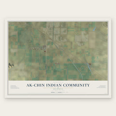

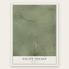
More maps nearby: Casa Blanca, Wet Camp Village, Gila River Indian Community, Sweet Water Village and Stanfield.
The art of mapping a place
How This Map Was Made
Real places. Remarkable detail. Discover the layers that turn geographic data into a map of home.

The view from above
Aerial imagery reveals the character of the land: woodland, open fields, and the patterns of a place.

The shape of the land
Elevation data brings hills, valleys, and subtle changes in the landscape into view.

The details of home
Roads, waterways, and building footprints come together to make the map feel unmistakably local.

Geography becomes art
Considered color, shading, and typography bring the layers together in a map made for your wall.


Process illustrated with Mendon, Massachusetts. Aerial imagery: USDA NAIP. Terrain: USGS 3D Elevation Program. Map details and finished artwork: KNOWOL.
The Details
About This Print
Choose an archival matte print, or a black or white Ayous wood frame. The archival matte print is unframed.
Select your size and finish above to see the matching product image and price.
Materials & Craftsmanship
A contemporary map with the character of a classic atlas, printed on archival matte paper. Optional frames are made from Ayous wood.
Your printed map does not include the watermark shown in the full-map preview.
Shipping & Delivery
Free shipping within the United States. Every print is made to order in the USA.
Buying a gift? Add a note in your cart and we'll include it. We never put prices in the package.
Prints ship within 2 to 3 business days. Allow 7 to 10 days total from ordering for delivery. Timing may vary during holidays or periods of high order volume.
Read our shipping policy.
Returns and damaged prints
Each print is made to order. Change-of-mind refunds are not available after production.
If your print arrives damaged, misprinted or incorrect, contact support@knowol.com within 30 days of receiving it. Include your order number, photos and a description of the issue.
Read our full refund and replacement policy. For questions about your order, email support@knowol.com.