
Search for another town





Free U.S. delivery 7 to 10 days after you order
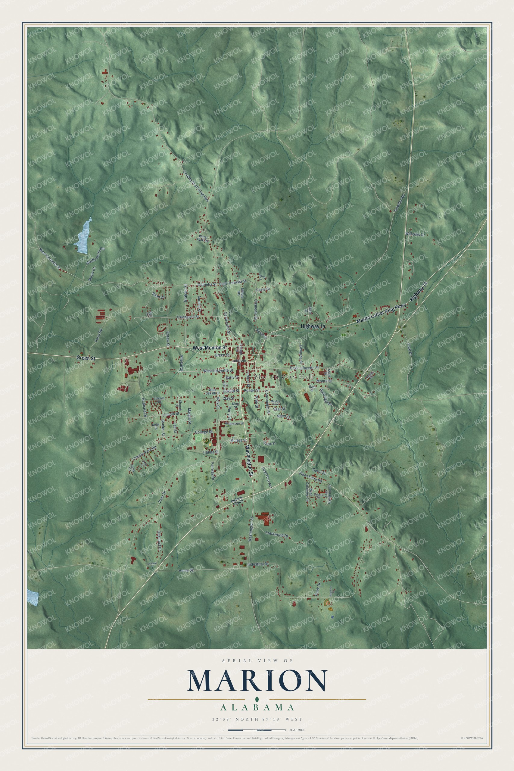
Marion, Alabama Map Art
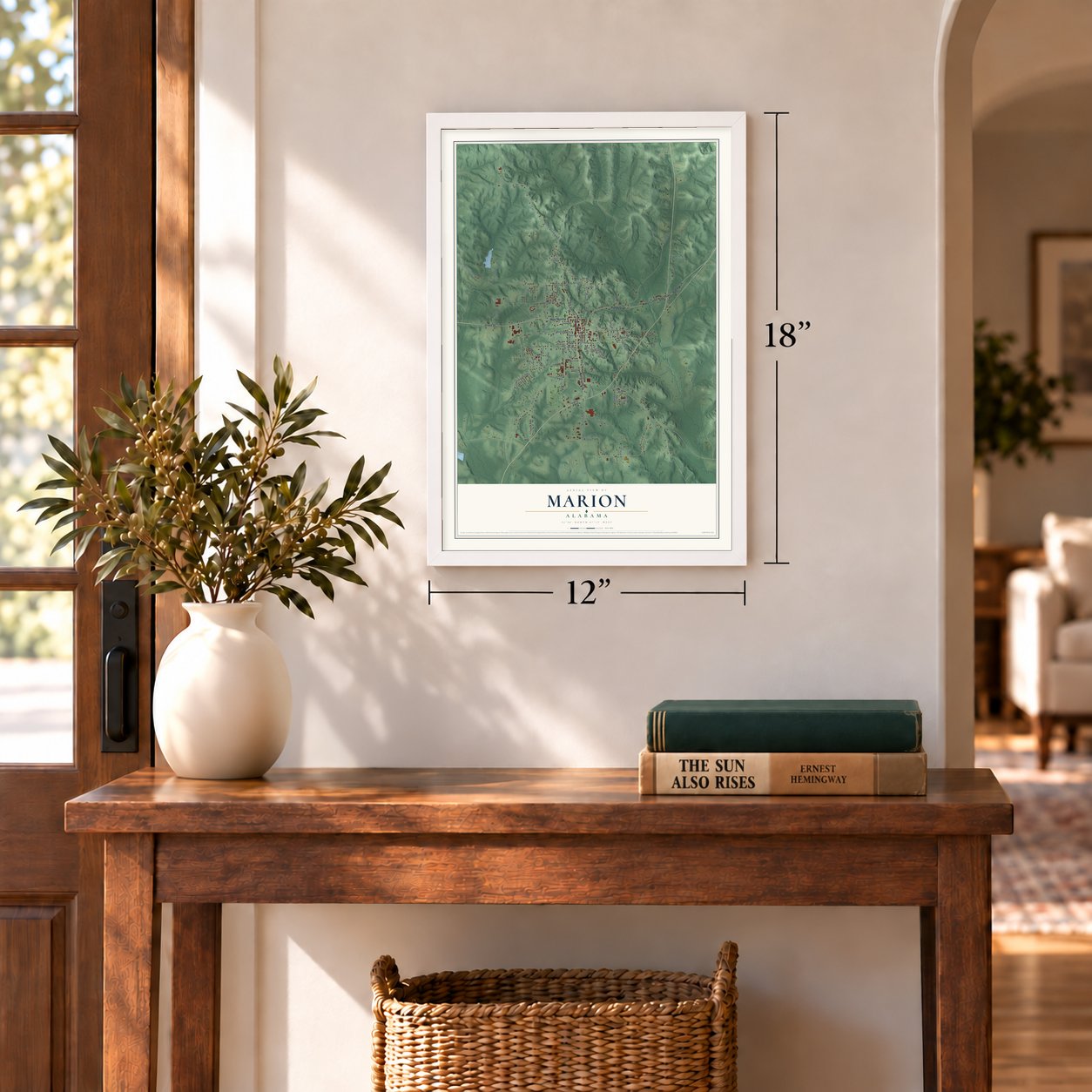
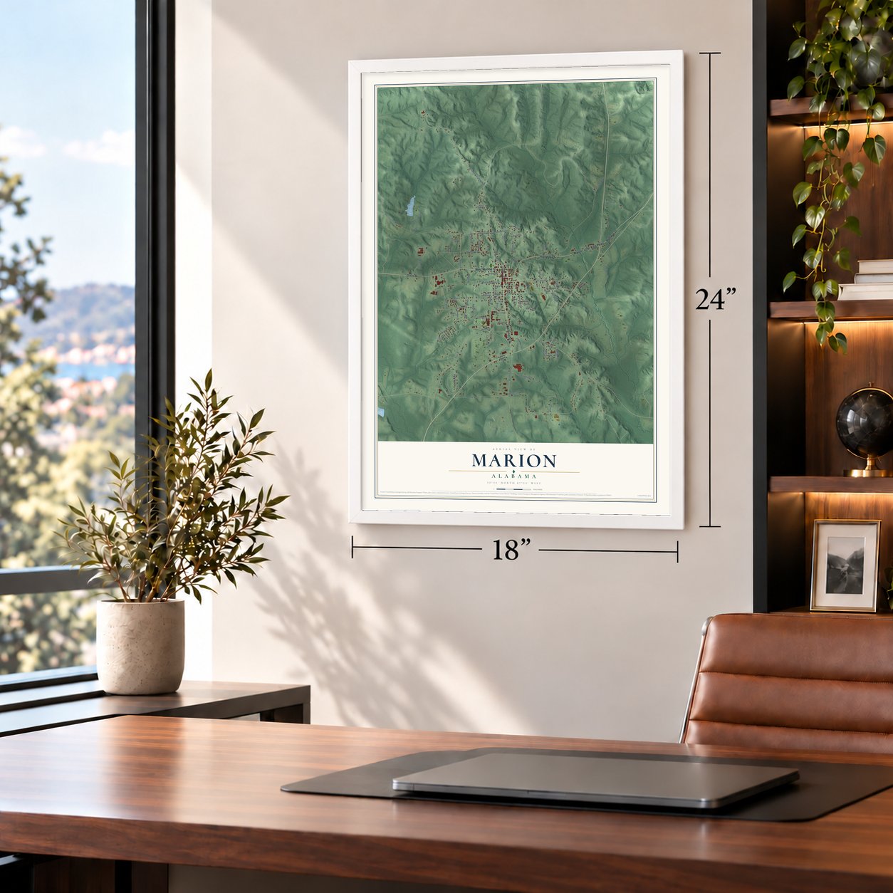
A new map of Marion, Alabama, made in 2026 and printed to order on thick archival matte paper.
12" x 18" Archival Matte Print
A Map of Home. A Work of Art.
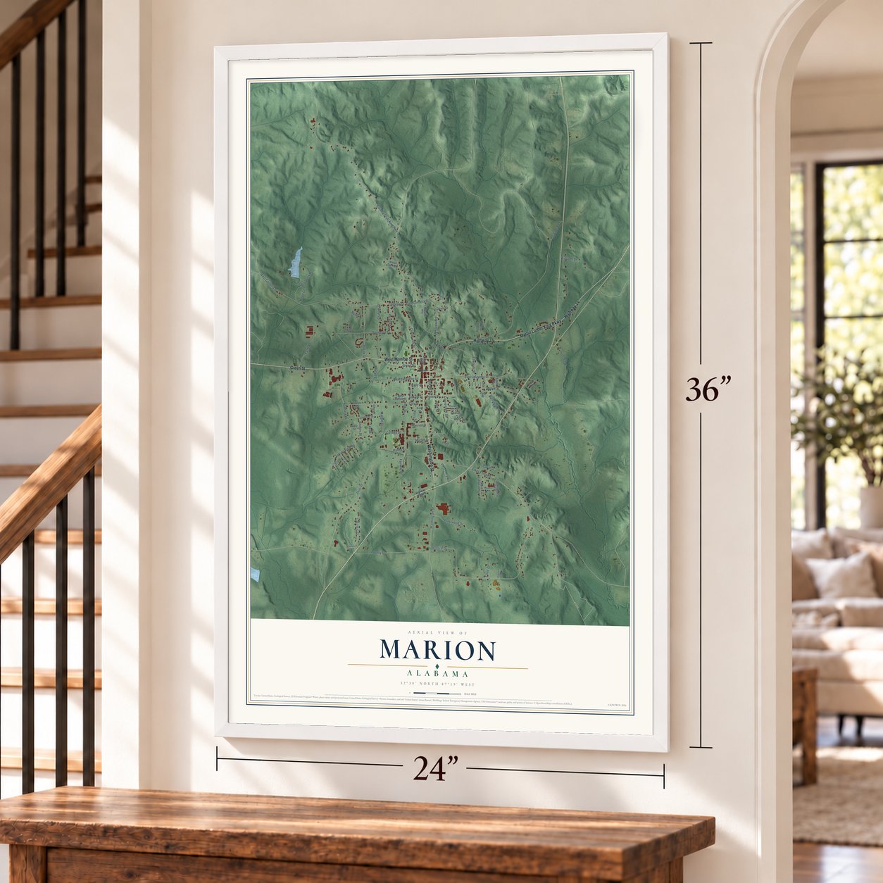
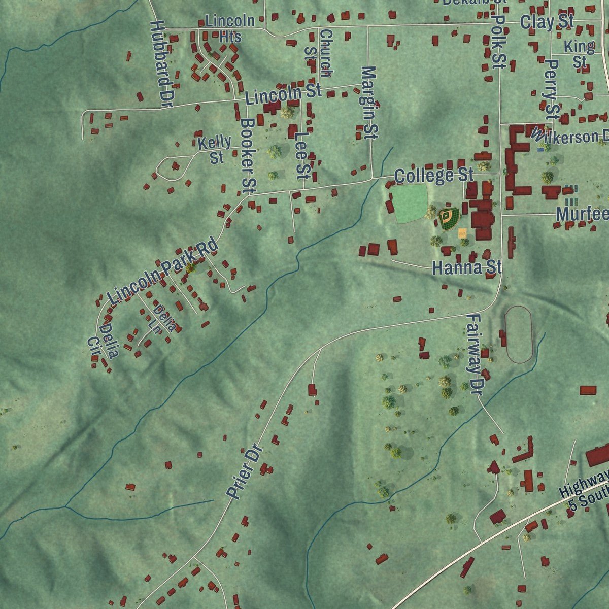
Explore Marion, Alabama from a whole new perspective. Created using aerial imagery and detailed geographic data, this map captures Marion building by building, with labeled streets, familiar landmarks, and shaded topographical relief that highlights the natural contours of the landscape.
Combining modern data with the timeless character of a vintage atlas, this map is just as interesting up close as it is beautiful on the wall. Whether you grew up in Marion, spent memorable years there, or call it home today, this unique map is a great way to celebrate a place that means something to you. Zoom in on the preview to look for your street, and then order a print to put your memories on the wall.
Three ways to hang it
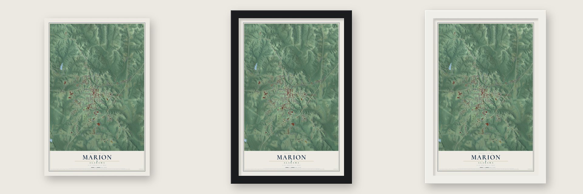
Unframed archival matte, a black wood frame or a white wood frame.
Up close
Geography Worth Displaying
This map was created using accurate cartographic data and authoritative geographic sources, including the U.S. Geological Survey and the Census Bureau. The map brings together terrain, waterways, roads, and building detail. The majority of the streets are labeled, houses are accurately depicted, and the topography is derived from government sources. Combining local data with carefully composed color and shading leads to this beautifully detailed Marion artwork for your wall.
Rather than simply showing street outlines, we’ve included as many of the street names as we could reasonably fit on the map while keeping their names legible. Zoom in on the high resolution preview to see exactly what’s on the map. We truly set out to create a statement piece for anyone who loves Marion. So whether it’s for you, or a gift for someone you love, we hope this map of Marion brings back fond memories.
Read the story behind this map of Marion, Alabama from 2026.

About Marion, Alabama
Marion is a city of 3,176 people and the county seat of Perry County, in west-central Alabama. In 1817 Michael McElroy, whom settlers called Michael Muckle, cleared an acre here and put up a cabin, so the place was first called Muckle Ridge. As more families arrived, he let the cabin go in 1818 to Anderson and Cecelia West, its new owners, and left for Mississippi. In 1820 Anderson West and his nephew Solomon opened A. West & Co., the town's first store. Anne Smith came from North Carolina in 1822 and opened the first hotel in the county, and that same year the town took the name of Francis Marion, the Revolutionary hero known as the Swamp Fox.
Marion soon became known as the College City. Educator Milo P. Jewett founded the Judson Female Institute in 1838, years before he went on to establish Vassar College. Howard College moved here from Greensboro in 1841 and stayed until 1887, when it left for Birmingham and later became Samford University. Its president, James T. Murfee, stayed behind and turned the campus into Marion Military Institute, which he patterned on his own school, Virginia Military Institute.
- The Stars and Bars, 1861Nicola Marschall, a German-American artist, taught at the Marion Female Seminary. In February 1861 Mary Clay Lockett and her daughter Fannie Lockett Moore, wife of a son of Governor Andrew B. Moore, asked him to design a flag for the new Confederacy. One of his three designs became the Stars and Bars, first raised in Montgomery on March 4, 1861. He is also credited with the grey Confederate uniform. The seminary's 1850 building joined the National Register in 1973.
- Coretta Scott King's hometownIn 1867 nine people who had been enslaved in Perry County opened the Lincoln School to teach African American children. Coretta Scott was born in Marion in 1927, grew up here and graduated from the Lincoln Normal School as valedictorian in 1945. In 1953 she married Martin Luther King Jr. outdoors on the lawn in front of her mother's house, north of town. The Lincoln School closed in May 1970 as Marion's schools were integrated.
- Jimmie Lee Jackson, 1965Jailing Rev. James Orange in the Perry County Jail sparked a night march on February 18, 1965. State trooper James Bonard Fowler shot Marion resident Jimmie Lee Jackson, who died on February 26. King preached at his funeral on March 3. Jackson's death moved James Bevel to call for a march from Selma to Montgomery, the first one, on March 7. Fowler, indicted in 2007, pleaded guilty to manslaughter in 2010. The jail joined the National Register in 1996.
- Sam Houston's wedding, 1840Sam Houston came to Marion in 1840, between his first and second terms as president of the Republic of Texas, and married Margaret Lea, a local woman, in the city.
Find your street
Names on the Marion map
Every name below is printed on this map. Look for your street, your school, the park where you played, or the pond down the road.
Places and landmarks2
- Marion City Hall
- Mayfair Park
Streets and roads86
- Green Street
- West Monroe Street
- Washington Street
- Highway 14
- Martin Luther King Parkway
- Dekalb Street
- Fikes Ferry Road
- Possie Street
- College Street
- Thompson Street
- Convenient Street
- Lincoln Park Road
- Cornelia Street
- Industrial Drive
- Coretta Scott King Highway
- Tutwiler Road
- Prier Drive
- Centreville Street
- East Lafayette Street
- Clements Street
- Davis Street
- West Lafayette Street
- Henry Street
- Mattie Perry Road
- Ford Drive
- Moore Street
- Clay Street
- Lincoln Street
- Hubbard Drive
- Polk Street
Show all 86 streets
- Graham Street
- Crestwood Drive
- Eutaw Street
- Edwards Street
- Oakcrest Drive
- Farm Road
- West Cornelia Street
- Bibb Street
- East Cornelia Street
- Murfee Street
- Margin Street
- Perry Street
- Aurelia Street
- Early Street
- Rutledge Drive
- Fairway Drive
- Hanna Street
- Phelan Street
- Seal Street
- Carol Street
- Cook Drive
- Lee Street
- Booker Street
- Miree Court
- Williams Drive
- Ryan Drive
- Reed Street
- West Dekalb Street
- Grove Street
- College City
- Lincoln Heights
- West Catherine Circle
- Pickens Street
- West Street
- East Street
- Fikes Ferry Acc
- East Catherine Circle
- South Street
- Mihato Heights
- Wilkerson Drive
- Sprott Street
- Church Street
- Water Tank Road
- King Street
- Delia Circle
- Kelly Street
- Bell Drive
- Smith Street
- Shivers Terrace
- Delia Lane
- Cahaba Heights
- North Drive
- Jefferson Street
- Highway 5 South
- Lakeview Drive
- Magnolia Drive
Names are listed as they appear on the printed map. Zoom into the product photos to find them.
The art of mapping a place
How This Map Was Made
Real places. Remarkable detail. Discover the layers that turn geographic data into a map of home.

The view from above
Aerial imagery reveals the character of the land: woodland, open fields, and the patterns of a place.

The shape of the land
Elevation data brings hills, valleys, and subtle changes in the landscape into view.

The details of home
Roads, waterways, and building footprints come together to make the map feel unmistakably local.

Geography becomes art
Considered color, shading, and typography bring the layers together in a map made for your wall.


Process illustrated with Mendon, Massachusetts. Aerial imagery: USDA NAIP. Terrain: USGS 3D Elevation Program. Map details and finished artwork: KNOWOL.
The Details
About This Print
Choose an archival matte print, or a black or white Ayous wood frame. The archival matte print is unframed.
Select your size and finish above to see the matching product image and price.
Materials & Craftsmanship
A contemporary map with the character of a classic atlas, printed on archival matte paper. Optional frames are made from Ayous wood.
Your printed map does not include the watermark shown in the full-map preview.
Shipping & Delivery
Free shipping within the United States. Every print is made to order in the USA.
Buying a gift? Add a note in your cart and we'll include it. We never put prices in the package.
Prints ship within 2 to 3 business days. Allow 7 to 10 days total from ordering for delivery. Timing may vary during holidays or periods of high order volume.
Read our shipping policy.
Returns and damaged prints
Each print is made to order. Change-of-mind refunds are not available after production.
If your print arrives damaged, misprinted or incorrect, contact support@knowol.com within 30 days of receiving it. Include your order number, photos and a description of the issue.
Read our full refund and replacement policy. For questions about your order, email support@knowol.com.
Find your town
Looking for another city?
Find a map of home in our Alabama collection, or any town in the country.
Nearby
Maps of towns near Marion
Know someone from one of these towns? Their map makes a great gift.
 Newbern
, Alabama
From $39.99See the map
 Uniontown
, Alabama
From $39.99See the map
 Greensboro
, Alabama
From $39.99See the map
More maps nearby: Valley Grande, Faunsdale, Selma, Orrville and Brent.