
Search for another town

Free U.S. delivery 7 to 10 days after you order
Marion, Illinois Map Art
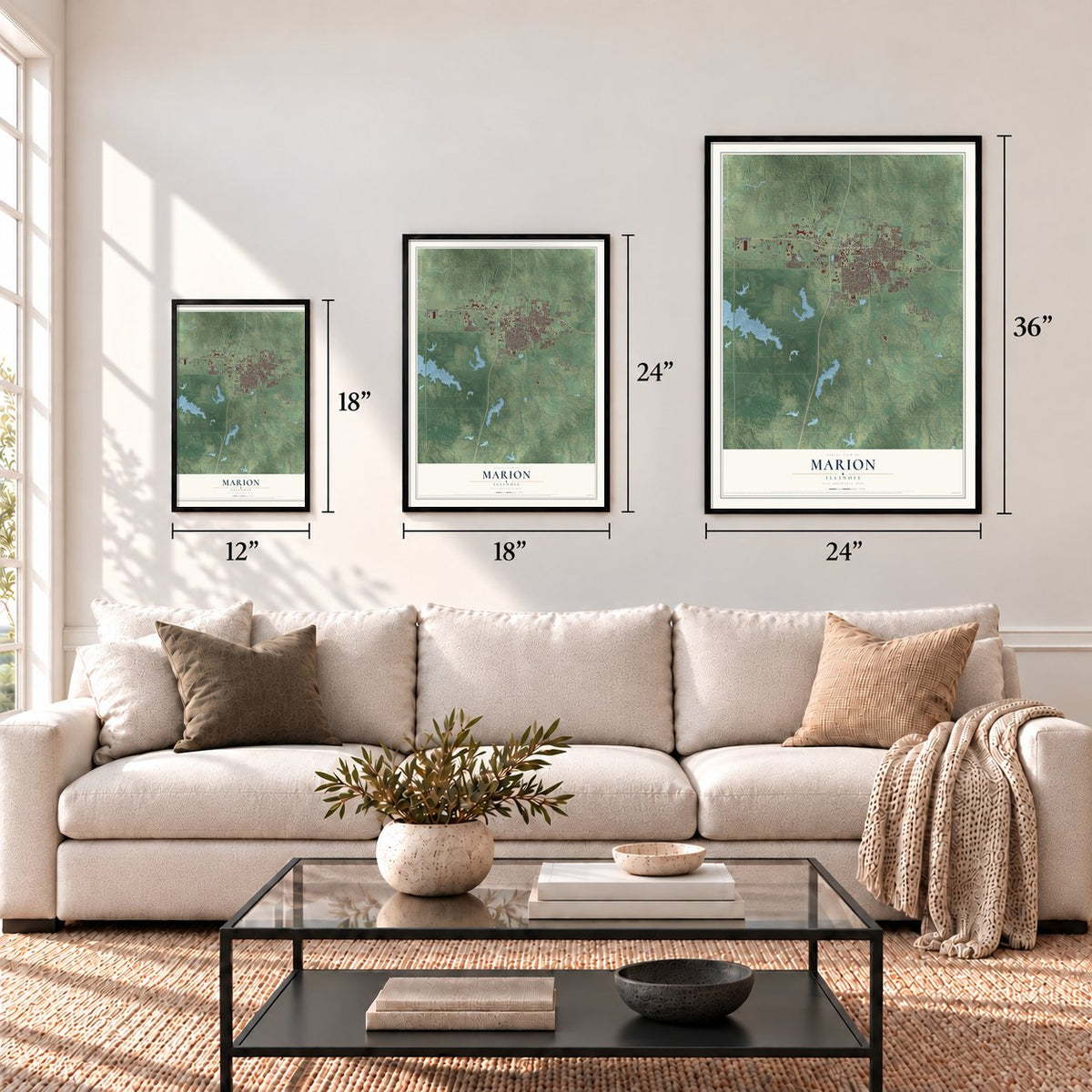
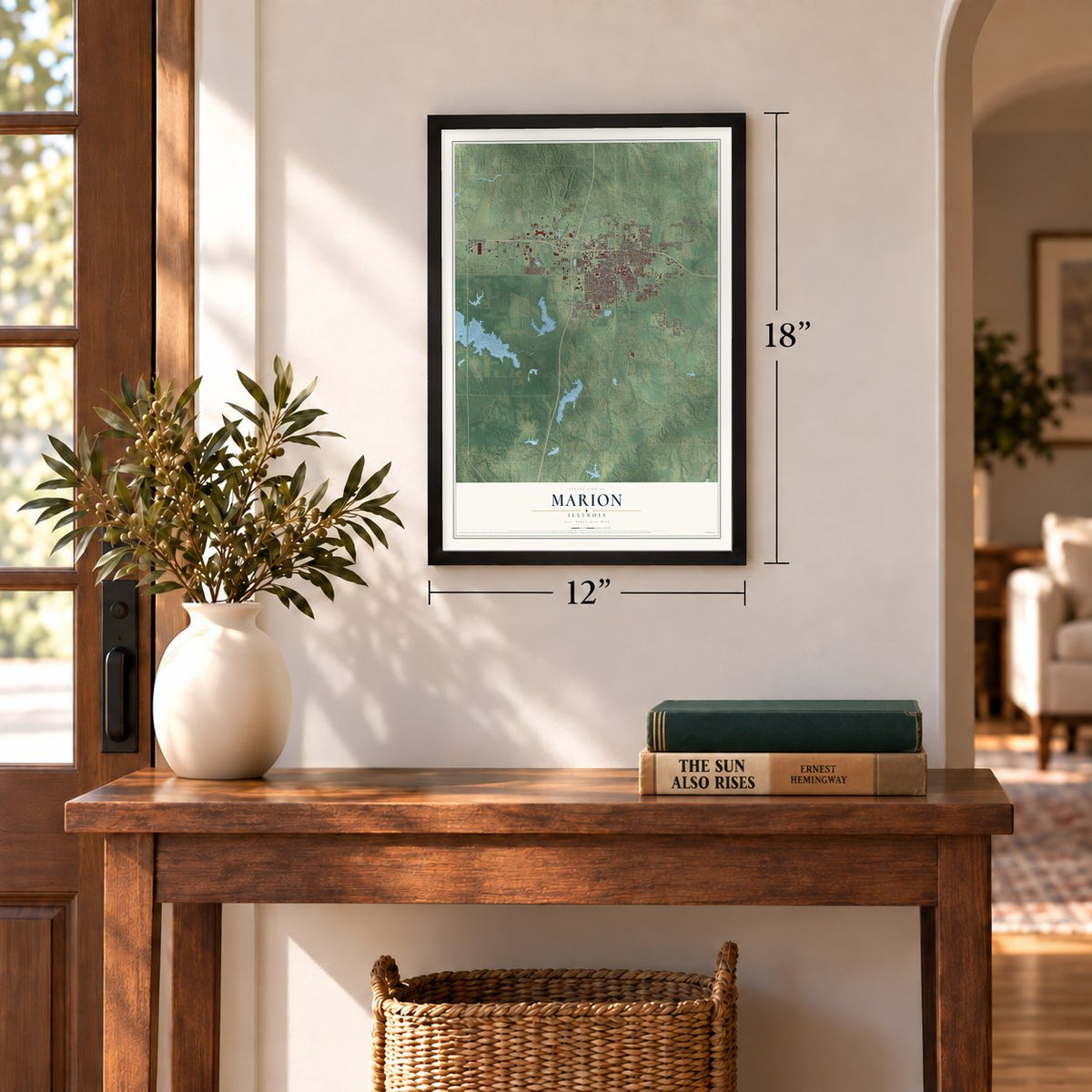
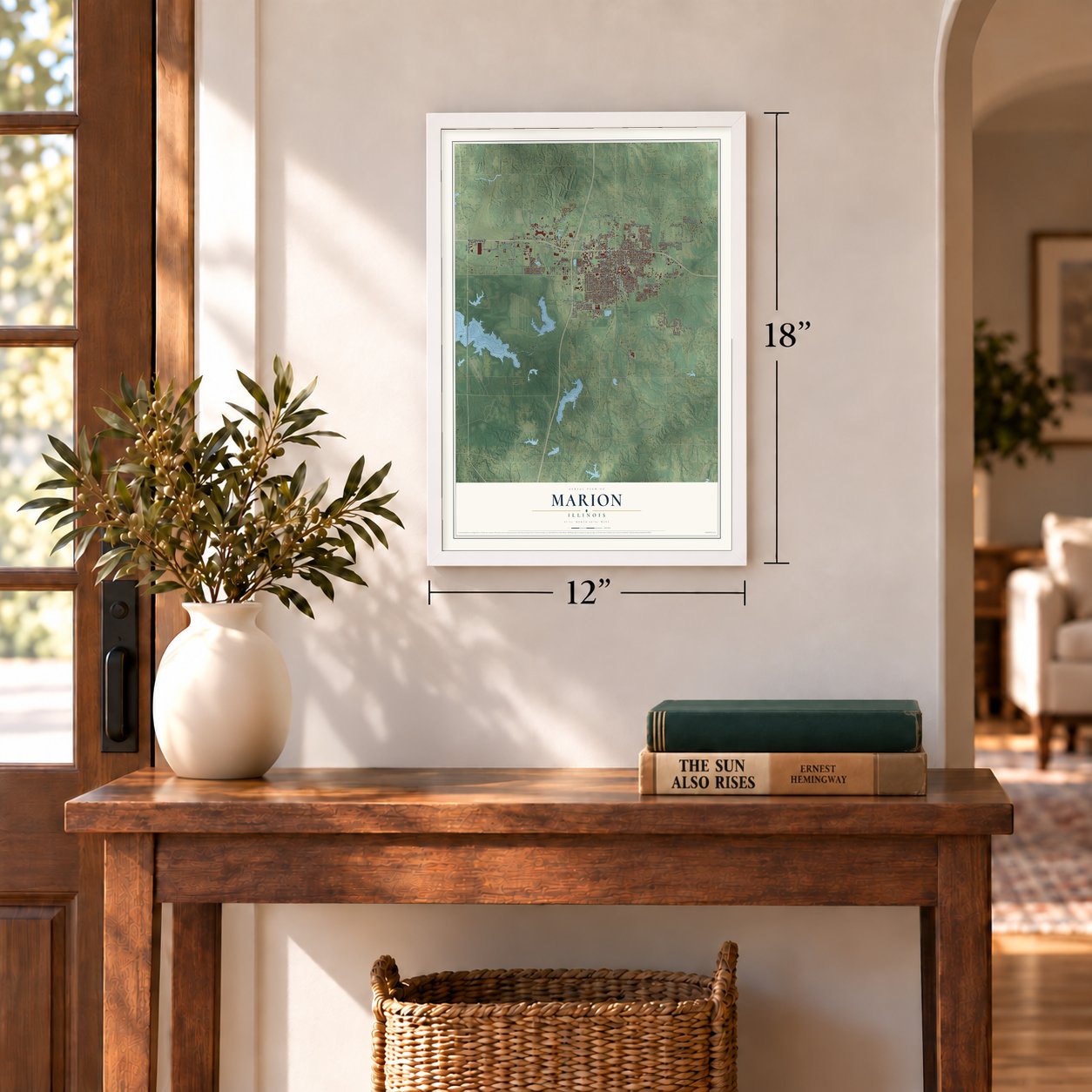
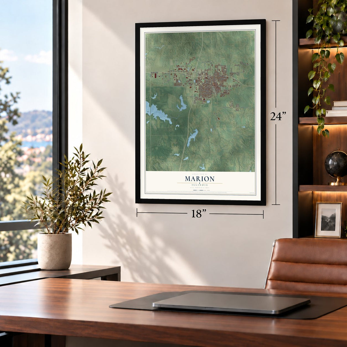
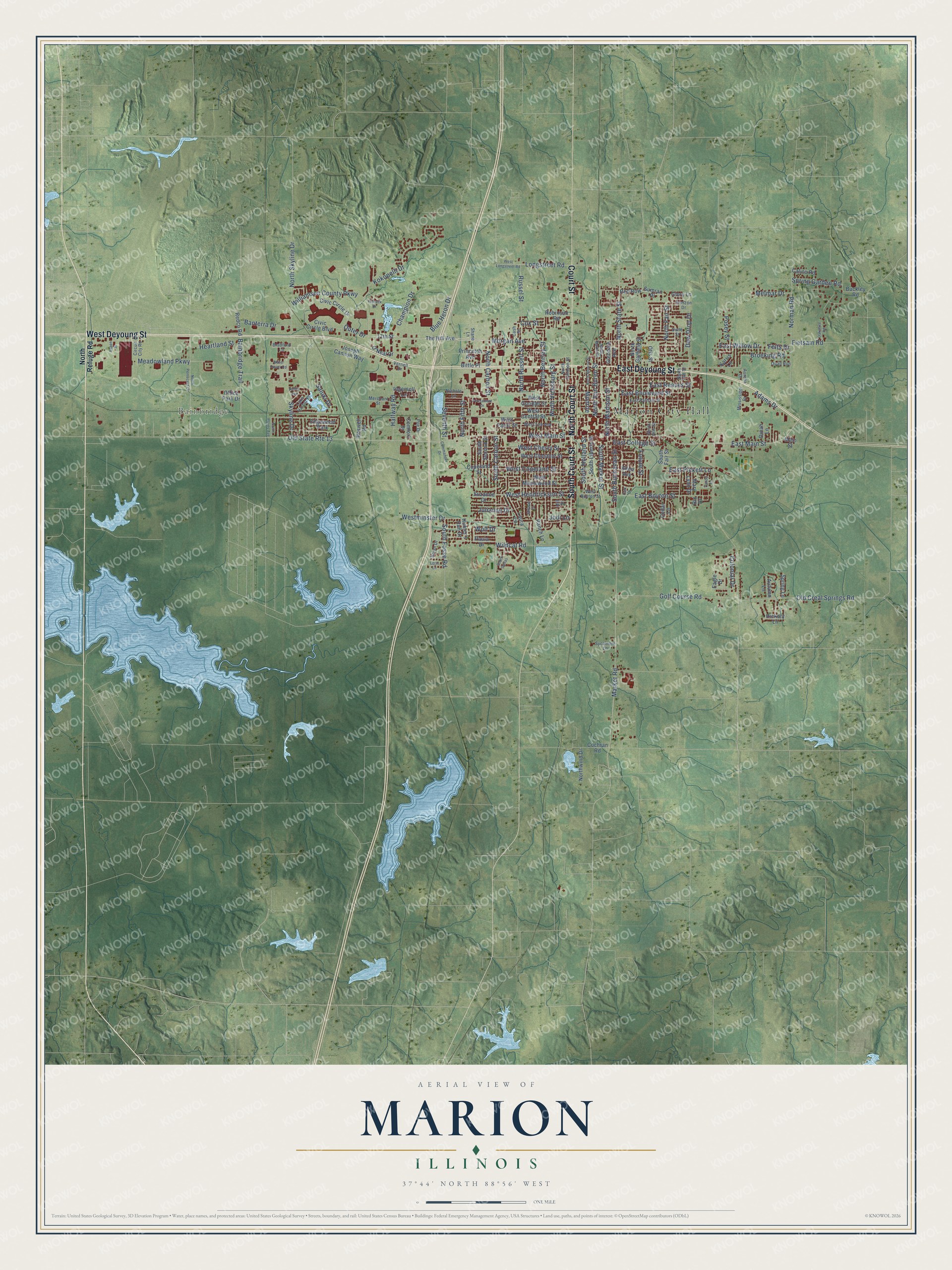
A new map of Marion, Illinois, made in 2026 and printed to order on thick archival matte paper.
12" x 18" Archival Matte Print
A Map of Home. A Work of Art.
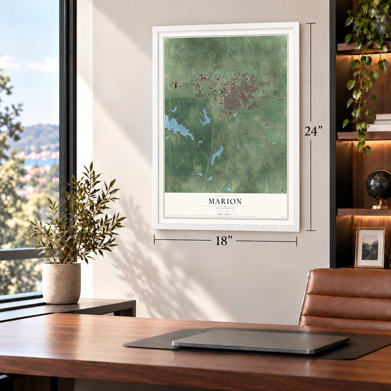
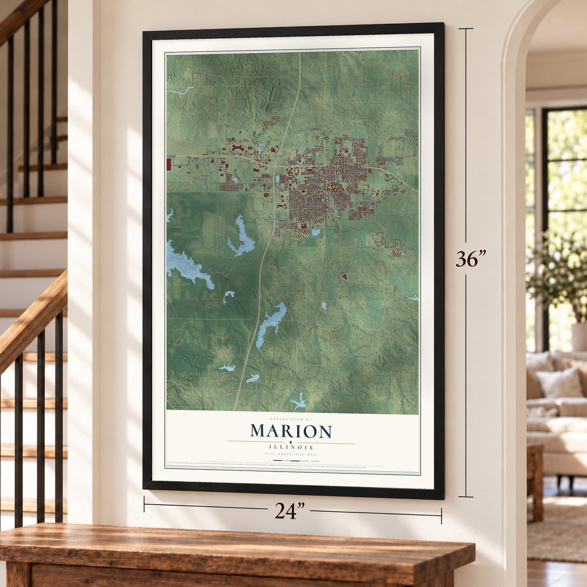
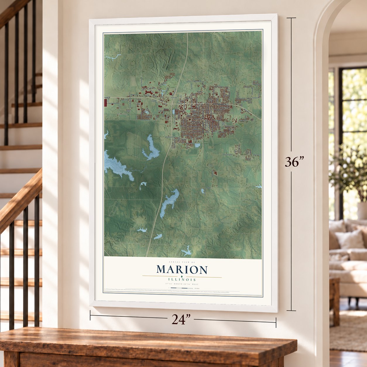
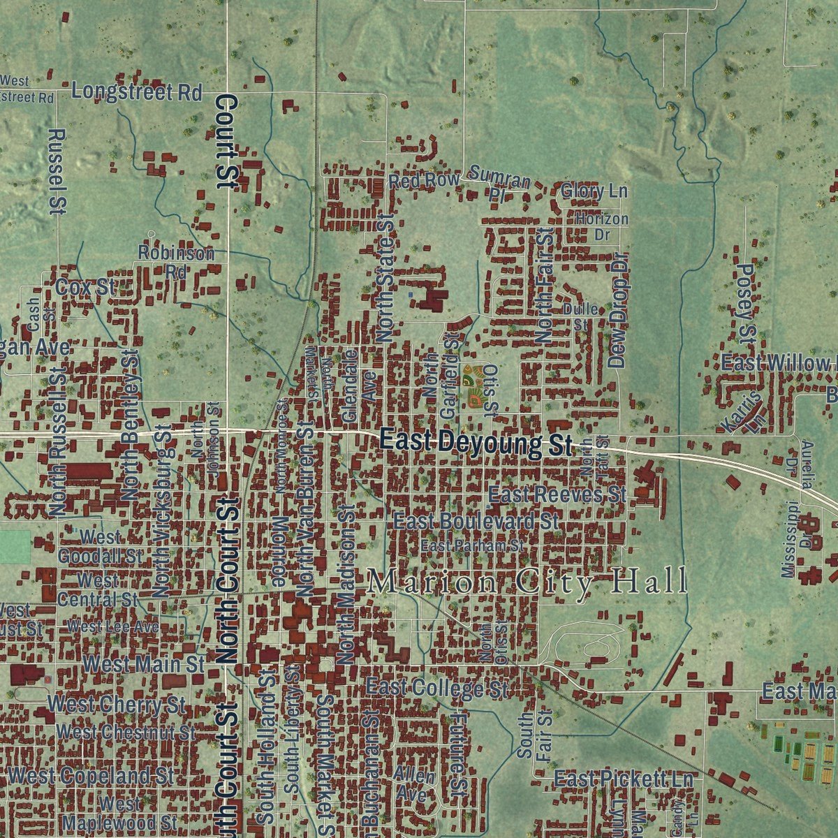
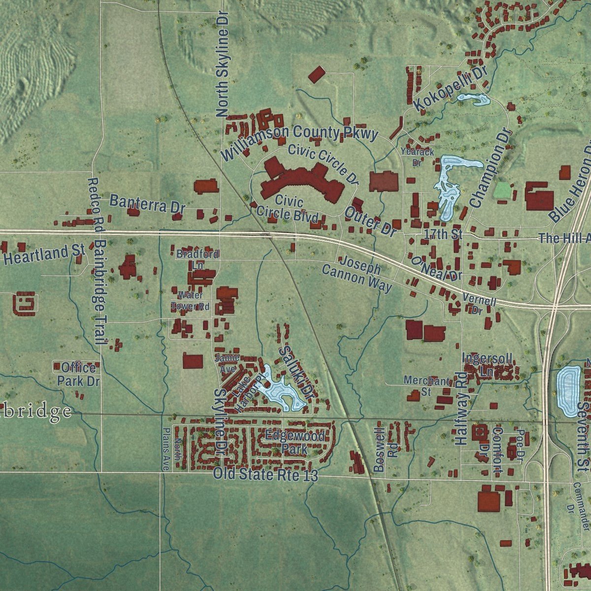
Explore Marion, Illinois from a whole new perspective. Created using aerial imagery and detailed geographic data, this map captures Marion building by building, with labeled streets, familiar landmarks, and shaded topographical relief that highlights the natural contours of the landscape.
Combining modern data with the timeless character of a vintage atlas, this map is just as interesting up close as it is beautiful on the wall. Whether you grew up in Marion, spent memorable years there, or call it home today, this unique map is a great way to celebrate a place that means something to you. Zoom in on the preview to look for your street, and then order a print to put your memories on the wall.
Three ways to hang it
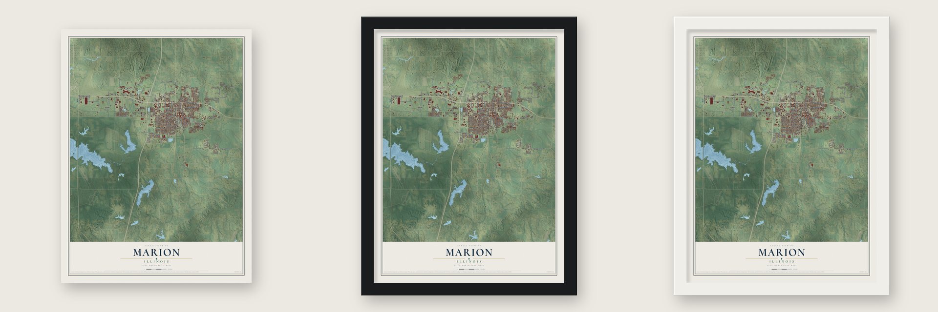
Unframed archival matte, a black wood frame or a white wood frame.
Up close
Geography Worth Displaying
This map was created using accurate cartographic data and authoritative geographic sources, including the U.S. Geological Survey and the Census Bureau. The map brings together terrain, waterways, roads, and building detail. The majority of the streets are labeled, houses are accurately depicted, and the topography is derived from government sources. Combining local data with carefully composed color and shading leads to this beautifully detailed Marion artwork for your wall.
Rather than simply showing street outlines, we’ve included as many of the street names as we could reasonably fit on the map while keeping their names legible. Zoom in on the high resolution preview to see exactly what’s on the map. We truly set out to create a statement piece for anyone who loves Marion. So whether it’s for you, or a gift for someone you love, we hope this map of Marion brings back fond memories.
Read the story behind this map of Marion, Illinois from 2026.
About Marion, Illinois
Marion is a city of 16,855 people and the county seat of Williamson County. The Illinois General Assembly formed the county from the south half of Franklin County, and on August 19, 1839, three commissioners met at Bainbridge to choose a county seat as near the center as they could. On August 20 they platted a town of 20 acres around a public square, set on a low rise 448 feet above sea level in a small grassland called Poor Prairie. They named it for Gen. Francis "Swamp Fox" Marion, the Revolutionary War hero.
The land already belonged to William and Bethany Benson, who had entered it on September 8, 1838. Benson had lived in the county since at least 1817, and when the town was laid out, his corn and wheat were growing on the spot that became the square. The county court first met in the Benson log cabin on October 7, 1839, and the crowd was so large that some people sat on pumpkins. A post office opened on January 30, 1840, and the legislature made Marion a city on February 24, 1841.
- A log fort west of townBefore Marion existed, early settlers joined with families from down on the Cache to build a block-house on the John Davis place, west of the future town. It was made of hewed logs, twenty feet square, with a roof of slabs and port-holes set eight feet above the ground. The settlers all slept inside it at night for safety.
- The Orpheum on the squareThe Orpheum Theatre opened on January 2, 1922, in the southwest corner of the downtown square. It led a chain of vaudeville and movie houses built on the money that farming and coal mining brought to Southern Illinois, and it seated over 900 under gold leaf, fancy plaster and a colored terra-cotta front. Television cut into its business, so it showed only films from the mid-1950s and closed in 1971.
- Saved from a parking lotThe city bought the Orpheum in 1973 to tear it down for parking, but residents wanted the theater restored, and the mayor and council changed course. The old theater then served as the Civic Center until a fire gutted it early on March 10, 1997.
- Rebuilt behind the old facadeWorkers saved the Orpheum's old facade after the 1997 fire, and in 2000 the city chose to build anew on the site. The 35,000-square-foot Cultural and Civic Center, by White and Borgognoni Architects, was finished in June 2004 and won a Frank Lloyd Wright Award from the Illinois chapter of the American Institute of Architects.
- The tornado of 1982On May 29, 1982, an F4 tornado cut a 17-mile path across Marion and Williamson County. It killed ten people, hurt 181, flattened the Shawnee Village apartments and caused between $85 million and $100 million in damage. The city later put up a memorial to the ten victims on the south side of Tower Square Plaza.
Find your street
Names on the Marion map
Every name below is printed on this map. Look for your street, your school, the park where you played, or the pond down the road.
Places and landmarks3
- Marion City Hall
- Bainbridge
- Edgewood Park
Streets and roads159
- West Deyoung Street
- East Deyoung Street
- South Court Street
- North Court Street
- Court Street
- Morgan Avenue
- East Main Street
- North Van Buren Street
- West Main Street
- East College Street
- North Carbon Street
- East Boyton Street
- South Buchanan Street
- Market Road
- Bainbridge Trail
- Champion Drive
- North Vicksburg Street
- Old Creal Springs Road
- South Market Street
- Old State Route 13
- Norman Road
- Kokopelli Drive
- Meadowland Parkway
- South Carbon Street
- Skyline Drive
- North Russell Street
- North Fair Street
- Williamson County Parkway
- North Skyline Drive
- Broeking Road
Show all 159 streets
- North State Street
- Golf Course Road
- Halfway Road
- West Cherry Street
- West Copeland Street
- Westminster Drive
- North Madison Street
- North Bentley Street
- East Boulevard Street
- Monroe
- Wildcat Road
- Longstreet Road
- Blue Heron Drive
- West Hendrickson Street
- East Reeves Street
- Dew Drop Drive
- Julianne Drive
- South Fosse Road
- Heartland Street
- South Holland Street
- East Pickett Lane
- Spring Garden Road
- Banterra Drive
- Future Street
- Adams Drive
- North Fifth Street
- East Willow Drive
- Colonial Drive
- Fietsam Road
- Saluki Drive
- Posey Street
- Russel Street
- Melmar Drive
- Seventh Street
- Cox Street
- Outer Drive
- Felts Drive
- Jodi Lane
- Wolf Drive
- North Refuge Road
- The Hill Avenue
- 17th Street
- Comfort Drive
- South Fair Street
- Redco Road
- O'Neal Drive
- Civic Circle Boulevard
- North Garfield Street
- West Chestnut Street
- Calico Road
- West Goodall Street
- West Maplewood Street
- Joseph Cannon Way
- South Liberty Street
- West Central Street
- Princeton Avenue
- Red Row
- Civic Circle Drive
- Buckley Road
- Copeland Street
- Allen Avenue
- Northwind Drive
- Laura Lane
- Cedar Lane
- Ranch Lane
- Glendale Avenue
- Cochran Road
- Robinson Road
- Bittle Place
- Mary Lynn Drive
- West Faust Street
- Ingersoll Lane
- South Second Street
- Hunter's Run Drive
- Otis Street
- Spring Lane
- Autumn Lane
- Paula Drive
- Suzanne Drive
- Boswell Road
- Sumran Place
- Hickory Lane
- Glory Lane
- Office Park Drive
- Dinah Lane
- Eagle Drive
- Main Street
- Karris Lane
- Rix Drive
- West Boyton Street
- East Parham Street
- North Otis Street
- North Johnson Street
- Horizon Drive
- North Taft Street
- Lake Harbor Place
- Bryan Drive
- West Lee Avenue
- Merchant Street
- Hill Street
- Circuit City Road
- Sycamore Lane
- Mississippi Drive
- Dulle Street
- Cash Street
- Vernell Drive
- Quail Run
- Bradford Lane
- Nichole Lane
- Aurelia Drive
- Shane Lane
- Poe Drive
- North Market Street
- North Monroe Street
- West Longstreet Road
- North Pentecost Drive
- Midway Court
- Commander Drive
- Jamie Avenue
- Park Drive
- Permatreat Drive
- Oakshire Road
- North Plains Avenue
- Aspen Street
- Water Tower Road
- Yearack Drive
- Candy Lane
- Lerin Lane
- South Dallas
Names are listed as they appear on the printed map. Zoom into the product photos to find them.
The art of mapping a place
How This Map Was Made
Real places. Remarkable detail. Discover the layers that turn geographic data into a map of home.

The view from above
Aerial imagery reveals the character of the land: woodland, open fields, and the patterns of a place.

The shape of the land
Elevation data brings hills, valleys, and subtle changes in the landscape into view.

The details of home
Roads, waterways, and building footprints come together to make the map feel unmistakably local.

Geography becomes art
Considered color, shading, and typography bring the layers together in a map made for your wall.


Process illustrated with Mendon, Massachusetts. Aerial imagery: USDA NAIP. Terrain: USGS 3D Elevation Program. Map details and finished artwork: KNOWOL.
The Details
About This Print
Choose an archival matte print, or a black or white Ayous wood frame. The archival matte print is unframed.
Select your size and finish above to see the matching product image and price.
Materials & Craftsmanship
A contemporary map with the character of a classic atlas, printed on archival matte paper. Optional frames are made from Ayous wood.
Your printed map does not include the watermark shown in the full-map preview.
Shipping & Delivery
Free shipping within the United States. Every print is made to order in the USA.
Buying a gift? Add a note in your cart and we'll include it. We never put prices in the package.
Prints ship within 2 to 3 business days. Allow 7 to 10 days total from ordering for delivery. Timing may vary during holidays or periods of high order volume.
Read our shipping policy.
Returns and damaged prints
Each print is made to order. Change-of-mind refunds are not available after production.
If your print arrives damaged, misprinted or incorrect, contact support@knowol.com within 30 days of receiving it. Include your order number, photos and a description of the issue.
Read our full refund and replacement policy. For questions about your order, email support@knowol.com.
Find your town
Looking for another city?
Find a map of home in our Illinois collection, or any town in the country.
Nearby
Maps of towns near Marion
Know someone from one of these towns? Their map makes a great gift.
 Spillertown
, Illinois
From $39.99See the map
 Whiteash
, Illinois
From $39.99See the map
 Energy
, Illinois
From $39.99See the map
More maps nearby: Pittsburg, Johnston City, Crainville, Herrin and Crab Orchard.