
Search for another town


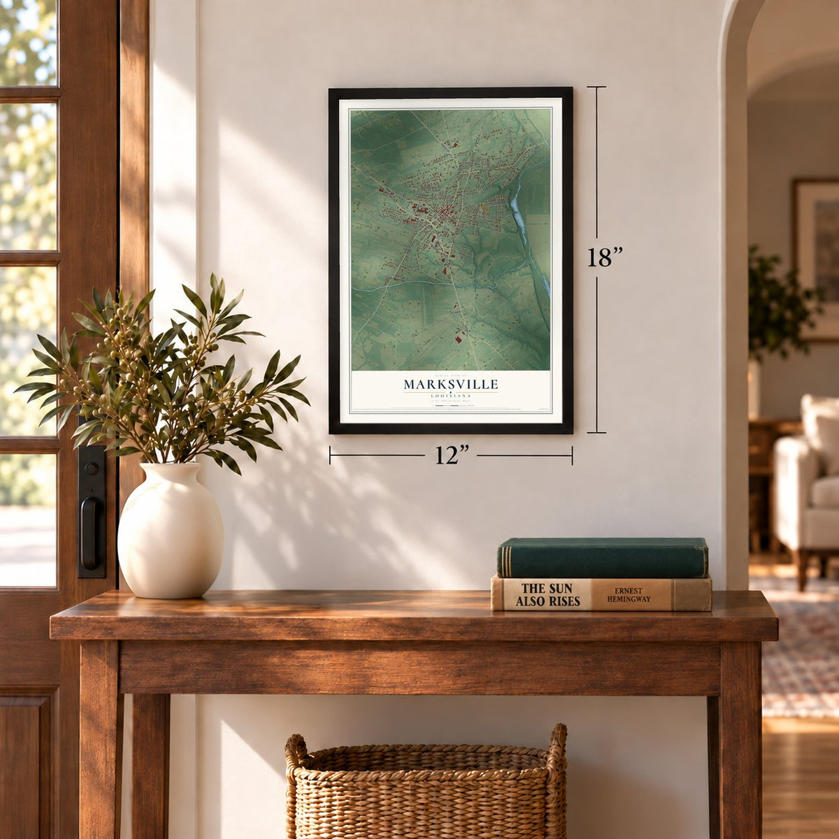
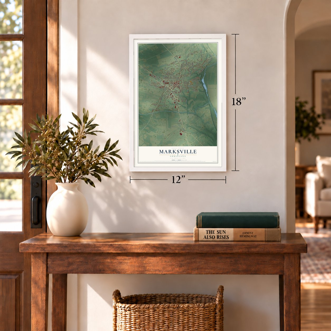

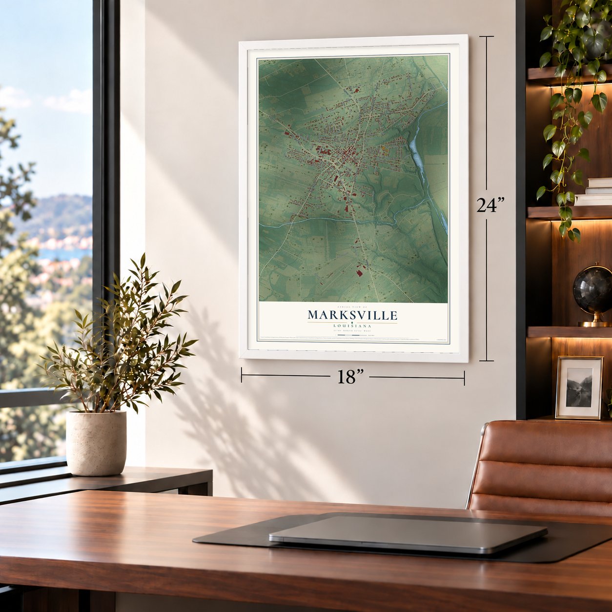
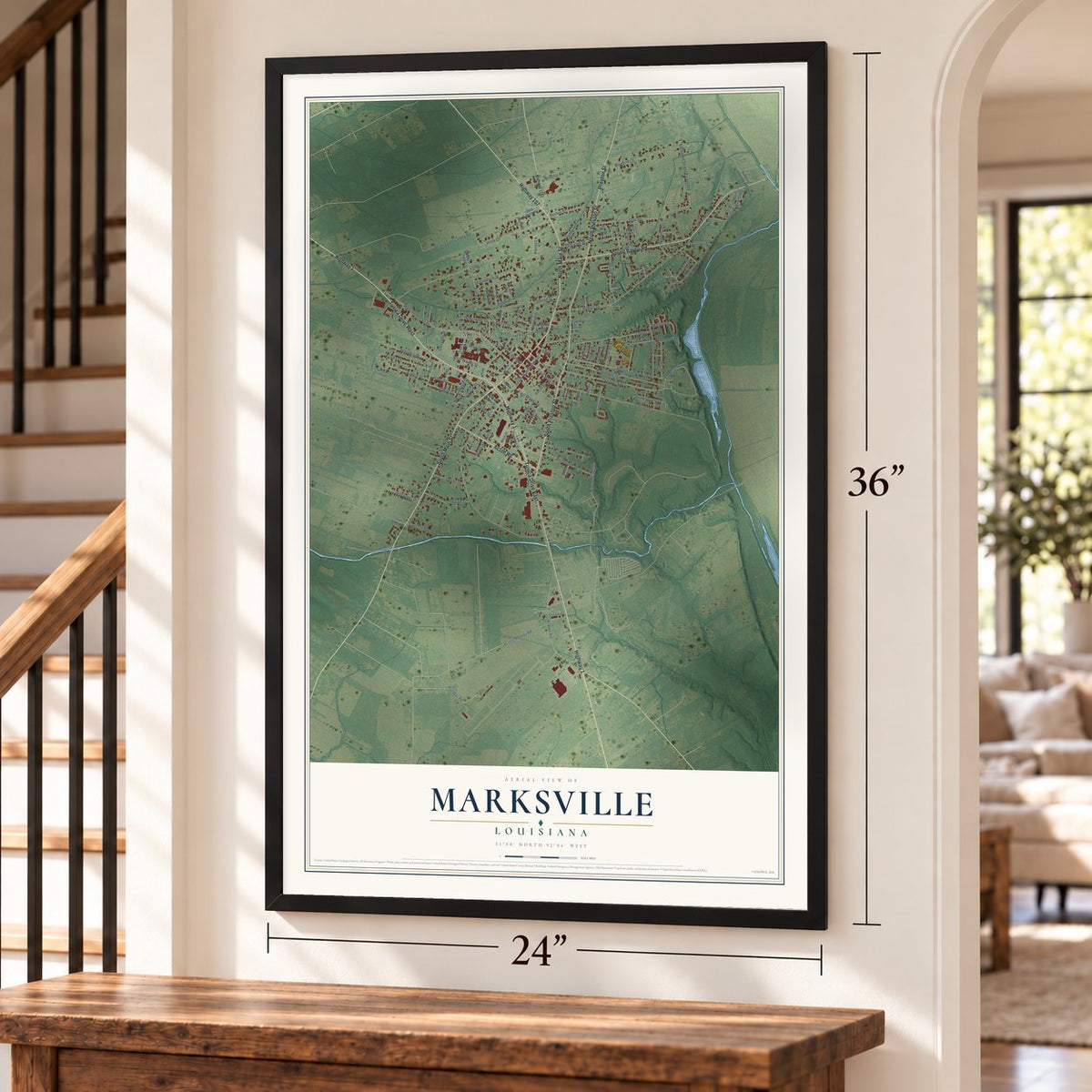

Free U.S. delivery 7 to 10 days after you order
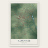
Marksville, Louisiana Map Art
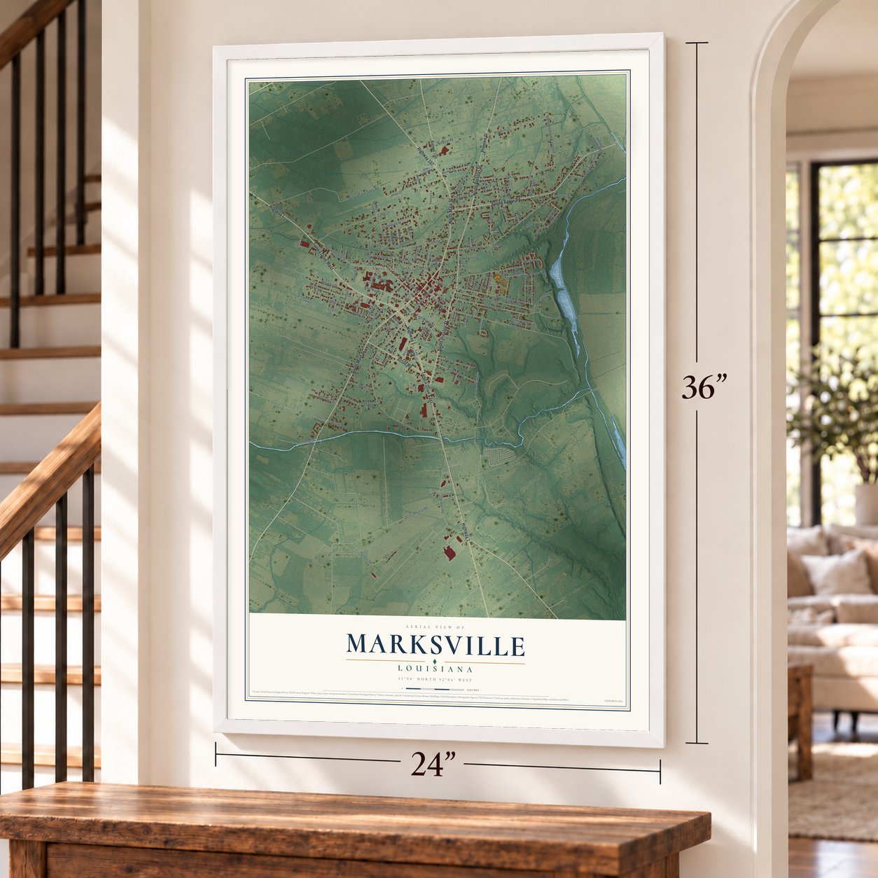
A new map of Marksville, Louisiana, made in 2026 and printed to order on thick archival matte paper.
12" x 18" Archival Matte Print
A Map of Home. A Work of Art.
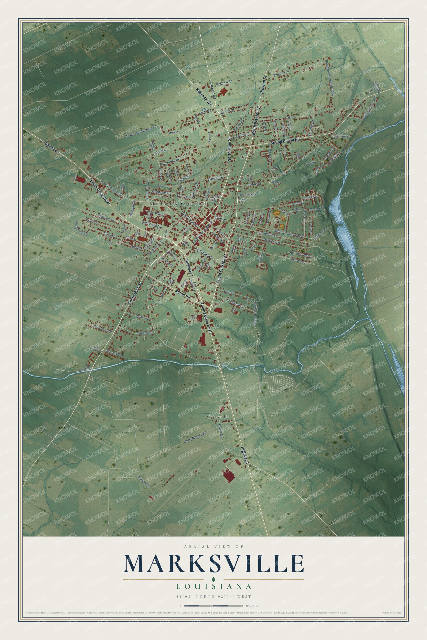
Explore Marksville, Louisiana from a whole new perspective. Created using aerial imagery and detailed geographic data, this map captures Marksville building by building, with labeled streets, familiar landmarks, and shaded topographical relief that highlights the natural contours of the landscape.
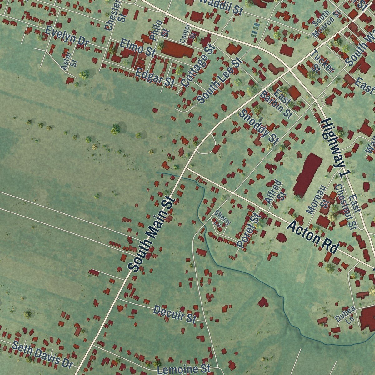
Combining modern data with the timeless character of a vintage atlas, this map is just as interesting up close as it is beautiful on the wall. Whether you grew up in Marksville, spent memorable years there, or call it home today, this unique map is a great way to celebrate a place that means something to you. Zoom in on the preview to look for your street, and then order a print to put your memories on the wall.
Three ways to hang it
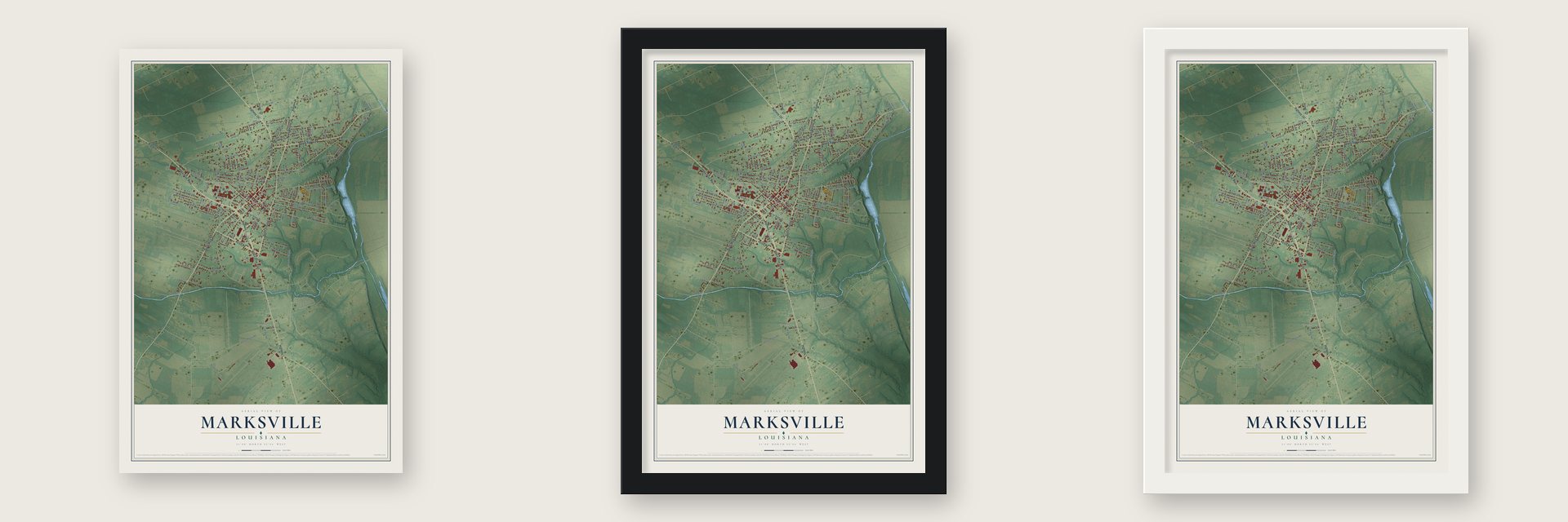
Unframed archival matte, a black wood frame or a white wood frame.
Up close
Geography Worth Displaying
This map was created using accurate cartographic data and authoritative geographic sources, including the U.S. Geological Survey and the Census Bureau. The map brings together terrain, waterways, roads, and building detail. The majority of the streets are labeled, houses are accurately depicted, and the topography is derived from government sources. Combining local data with carefully composed color and shading leads to this beautifully detailed Marksville artwork for your wall.
Rather than simply showing street outlines, we’ve included as many of the street names as we could reasonably fit on the map while keeping their names legible. Zoom in on the high resolution preview to see exactly what’s on the map. We truly set out to create a statement piece for anyone who loves Marksville. So whether it’s for you, or a gift for someone you love, we hope this map of Marksville brings back fond memories.
Read the story behind this map of Marksville, Louisiana from 2026.
About Marksville, Louisiana
Marksville is a city of 5,065 people and the seat of Avoyelles Parish. It takes its name from Marc Eliche, a Sephardic Jewish trader thought to have come from Venice, who stopped here when his wagon broke down. He stayed and opened a trading post around 1794. Spanish priests wrote his name as Marco Litche, while French priests wrote Marc Eliche.
The Louisiana Purchase of 1803 brought the territory into the United States, and the settlement was showing up on Louisiana maps by 1809. Eliche later gave the land that became Courthouse Square, the heart of town. Marksville grew into the trading center for the cotton plantations that spread across the countryside around it.
“Prior to archaeological investigations in the 1920s, local legend had it that the Marksville site, with its C-shaped enclosure and six earthen mounds, was the work of the Hernando de Soto expedition, which traversed the southeastern United States between 1539 and 1543.”
- Solomon Northup set freeSolomon Northup lived as a free man in Saratoga Springs, New York, until kidnappers sold him into slavery. He spent nearly 12 years on Avoyelles Parish plantations before officials from Marksville and New York helped win his release in 1853. Back home, he wrote a memoir of his ordeal, and it became the basis of the 2013 film 12 Years A Slave.
- Fish from the sky, 1947Between seven and eight in the morning on October 23, 1947, hundreds of fish dropped out of the sky onto Marksville's streets and yards. All were local freshwater kinds, two to nine inches long: largemouth black bass, goggle-eye, hickory shad and several species of minnows.
- Louisiana's first land-based casinoThe Tunica-Biloxi Indian Tribe, whose reservation lies in the parish, opened Paragon Casino Resort in Marksville in June 1994. It was the first casino in Louisiana built on land rather than on the water, and the federally recognized tribe still operates it.
- A culture named for MarksvilleArchaeologists named the Marksville culture after the Marksville site. Its people took up ideas from the Hopewell tradition, such as mound burial and ceremonial centers. Marksville potters were the first to mix temper like sand, shell or moss into their clay so it would fire more thoroughly.
Find your street
Names on the Marksville map
Every name below is printed on this map. Look for your street, your school, the park where you played, or the pond down the road.
Places and landmarks2
- Marksville City Hall
- Cocoville
Streets and roads138
- Tunica Drive West
- Highway 1
- South Preston Street
- North Main Street
- South Main Street
- North Preston Street
- Tunica Drive East
- Preston Street
- Highway 107
- Spring Bayou Road
- Acton Road
- West Bontemps Street
- East Mark Street
- Pierite Street
- Ridge Street
- Borrel Street
- Bluebird Lane
- West Cappel Street
- South Washington Street
- Beauregard Landry Road
- Cedar Lane
- Andrus Street
- Curry Moreau Road
- Laurel Street
- Legion Drive
- Airport Road
- Overton Avenue
- Brouillette Street
- Martin Luther King Drive
- Tarleton Street
Show all 138 streets
- Hilda Lane
- Bordelon Street
- Ferdinand Street
- Benjamin Drive
- West Waddil Street
- Oak Street
- South Lee Street
- East Waddil Street
- Bordelon Street Extended
- Runway Road
- Spring Bayou Loop
- Shanewood Drive
- Azalea Lane
- North Lee Street
- Deanna Drive
- Felix Street
- Lemoine Street
- Cannon Street
- Roy Street
- Foster Drive
- Frank Street
- Morock Road
- Evelyn Drive
- Richelieu Parkway
- Cottage Street
- Bernes Street
- Taensas Street
- Seth Davis Drive
- Lewis Street
- Hospital Road
- Decuir Street
- Elmo Street
- North Fair Street
- Debellevue Drive
- Saucier Street
- Edgar Street
- Addison Street
- Elm Street
- Willow Street
- Scallan Street
- Live Oak Boulevard
- Sunny Avenue
- Green Street
- Couvillion Street
- Tine Street
- Glenda Drive
- Desselle Street
- Wall Street
- Eagle Street
- Snoddy Street
- Poret Street
- Penny Lane
- Edith Lane
- John Landry Road
- North Monroe Street
- Leviege Street
- Nicole Drive
- Moreau Street
- Saint Romain Lane
- Anthony Grundy Road
- Chester Street
- South Fair Street
- Patton Street
- Juneau Avenue
- Woodside Avenue
- East Chestnut Street
- Philo Street
- Walton Street
- Widdie Street
- Joffrion Avenue
- La Colline Lane
- Charles Street
- East Barbin Street
- Vettas Street
- Deanna Street
- Marion Street
- Florence Drive
- Rudy's Pocket
- Henry Street
- Barton Drive
- Beryl Street
- Jeanette Street
- Martin Street
- Tucker Street
- Alfred Street
- Brady Drive
- Lorio Street
- Denux Street
- Kirby Drive
- Highway 1192
- East Ogden Street
- South Hillside Drive
- Captains Cove Lane
- South Monroe Street
- Aster Street
- Saint John
- Aymond Street
- Michel Drive
- Dubea Lane
- Garan Lane
- Shanewood Street
- Race Street Extended
- Center Street
- Little California Road
- Sherry Lane
- Albert Street
- Riddle Drive
- Lane Street
Names are listed as they appear on the printed map. Zoom into the product photos to find them.
The art of mapping a place
How This Map Was Made
Real places. Remarkable detail. Discover the layers that turn geographic data into a map of home.

The view from above
Aerial imagery reveals the character of the land: woodland, open fields, and the patterns of a place.

The shape of the land
Elevation data brings hills, valleys, and subtle changes in the landscape into view.

The details of home
Roads, waterways, and building footprints come together to make the map feel unmistakably local.

Geography becomes art
Considered color, shading, and typography bring the layers together in a map made for your wall.


Process illustrated with Mendon, Massachusetts. Aerial imagery: USDA NAIP. Terrain: USGS 3D Elevation Program. Map details and finished artwork: KNOWOL.
The Details
About This Print
Choose an archival matte print, or a black or white Ayous wood frame. The archival matte print is unframed.
Select your size and finish above to see the matching product image and price.
Materials & Craftsmanship
A contemporary map with the character of a classic atlas, printed on archival matte paper. Optional frames are made from Ayous wood.
Your printed map does not include the watermark shown in the full-map preview.
Shipping & Delivery
Free shipping within the United States. Every print is made to order in the USA.
Buying a gift? Add a note in your cart and we'll include it. We never put prices in the package.
Prints ship within 2 to 3 business days. Allow 7 to 10 days total from ordering for delivery. Timing may vary during holidays or periods of high order volume.
Read our shipping policy.
Returns and damaged prints
Each print is made to order. Change-of-mind refunds are not available after production.
If your print arrives damaged, misprinted or incorrect, contact support@knowol.com within 30 days of receiving it. Include your order number, photos and a description of the issue.
Read our full refund and replacement policy. For questions about your order, email support@knowol.com.
Find your town
Looking for another city?
Find a map of home in our Louisiana collection, or any town in the country.
Nearby
Maps of towns near Marksville
Know someone from one of these towns? Their map makes a great gift.
 Mansura
, Louisiana
From $39.99See the map
 Fifth Ward
, Louisiana
From $39.99See the map
 Hessmer
, Louisiana
From $39.99See the map
More maps nearby: Moreauville, Cottonport, Bordelonville, Echo and Plaucheville.