
Search for another town




Free U.S. delivery 7 to 10 days after you order
McKenzie, Tennessee Map Art
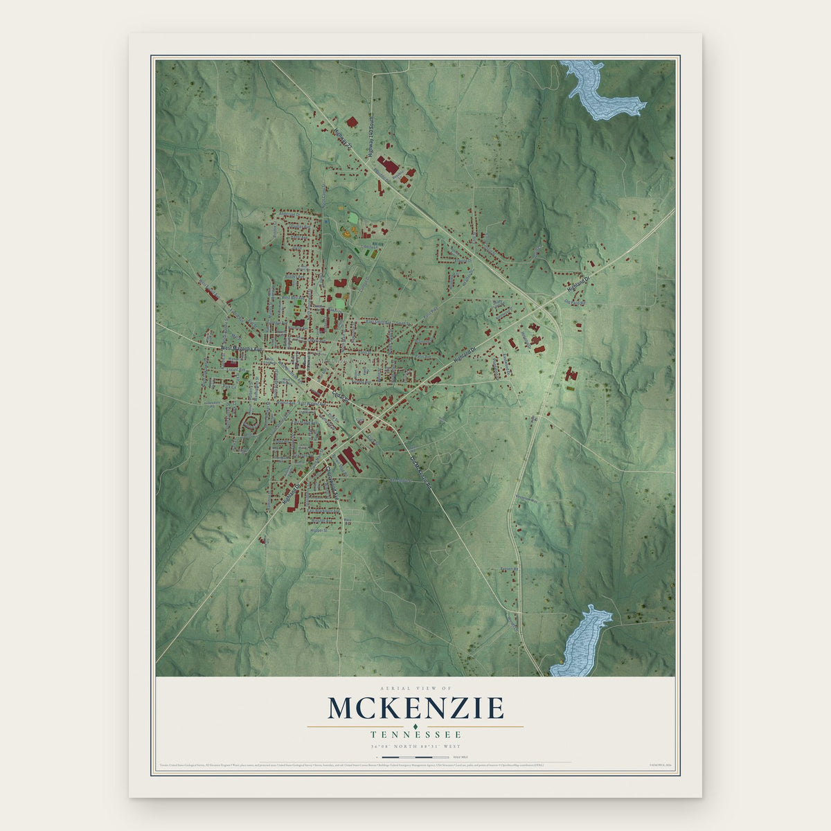
A new map of McKenzie, Tennessee, made in 2026 and printed to order on thick archival matte paper.
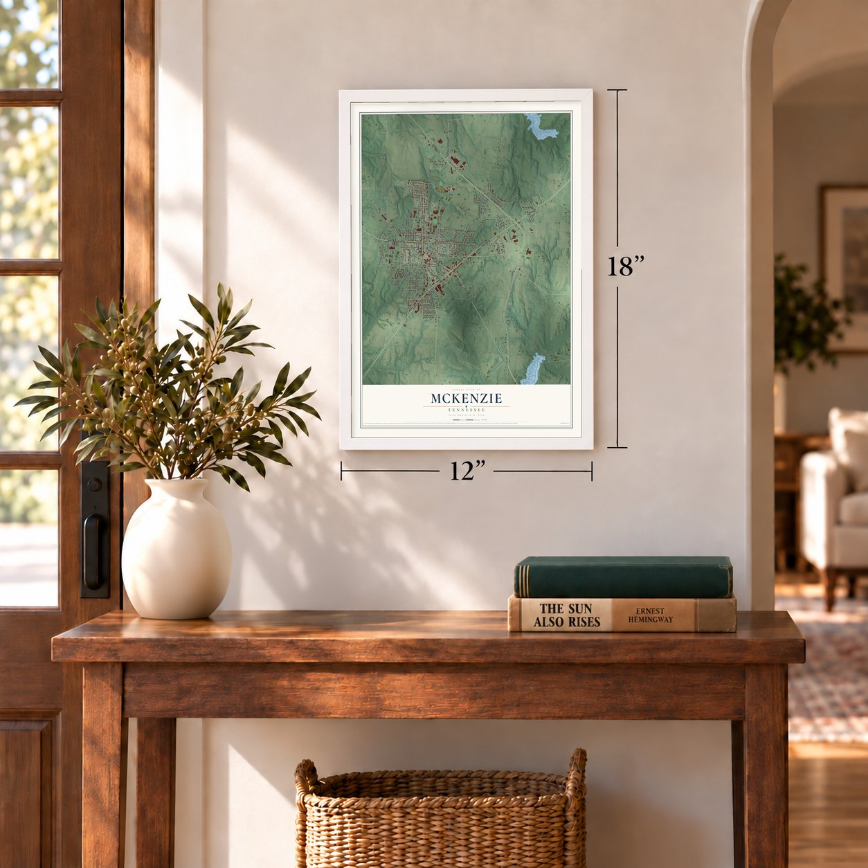
12" x 18" Archival Matte Print
A Map of Home. A Work of Art.
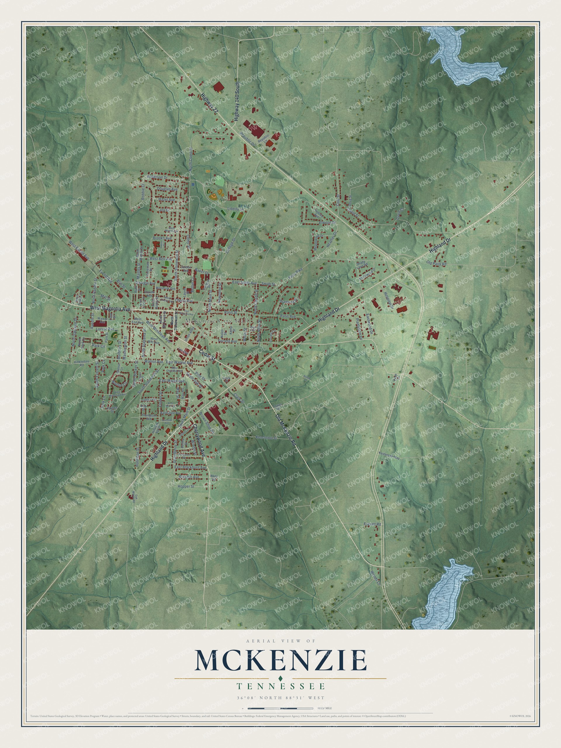
Explore McKenzie, Tennessee from a whole new perspective. Created using aerial imagery and detailed geographic data, this map captures McKenzie building by building, with labeled streets, familiar landmarks, and shaded topographical relief that highlights the natural contours of the landscape.
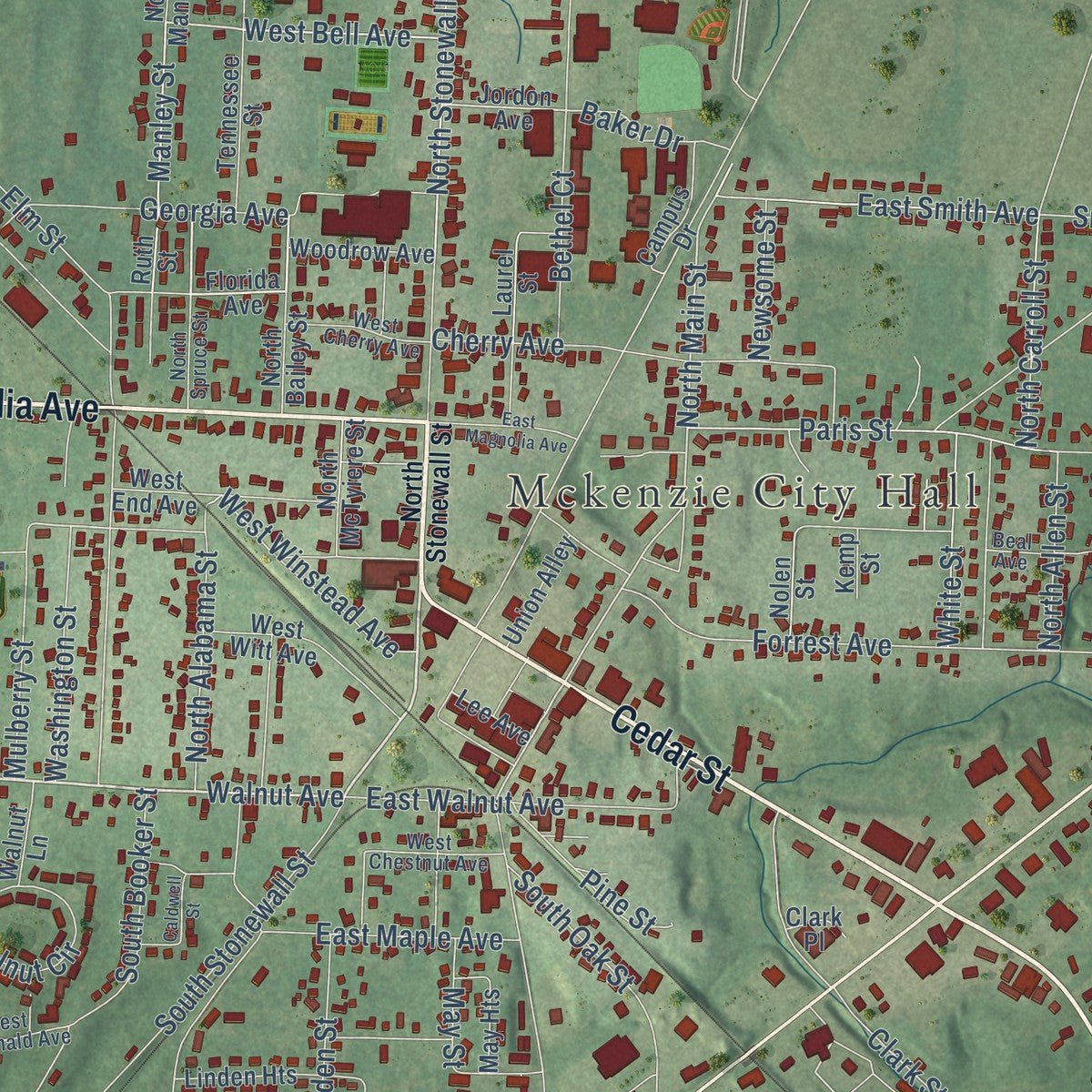
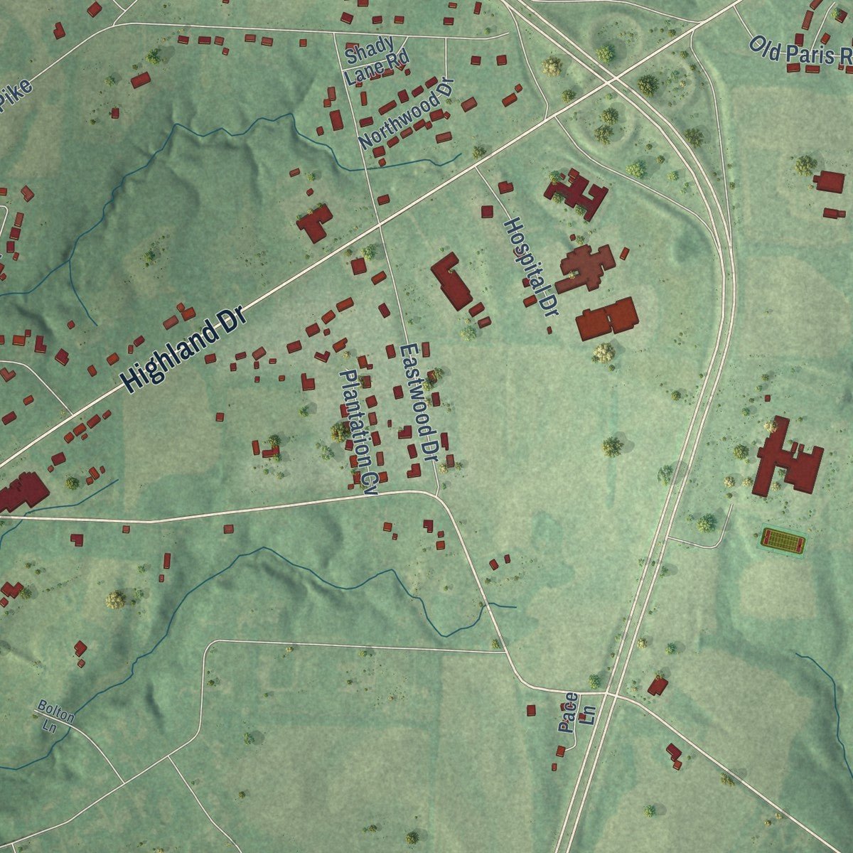
Combining modern data with the timeless character of a vintage atlas, this map is just as interesting up close as it is beautiful on the wall. Whether you grew up in McKenzie, spent memorable years there, or call it home today, this unique map is a great way to celebrate a place that means something to you. Zoom in on the preview to look for your street, and then order a print to put your memories on the wall.
Three ways to hang it
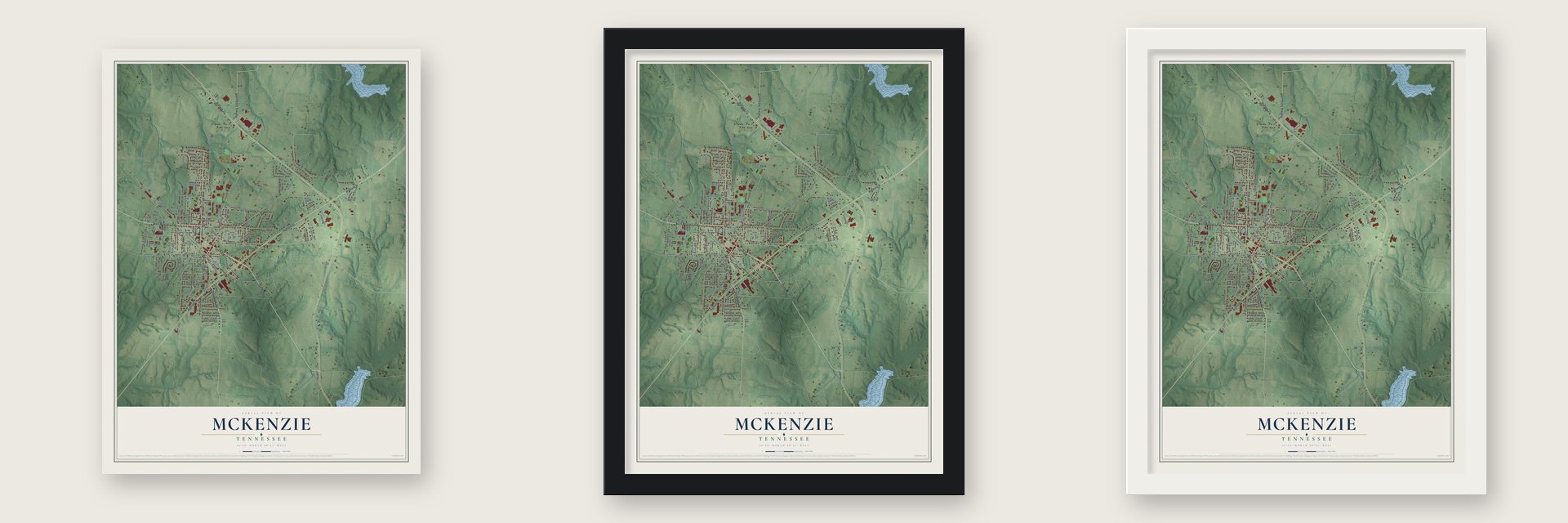
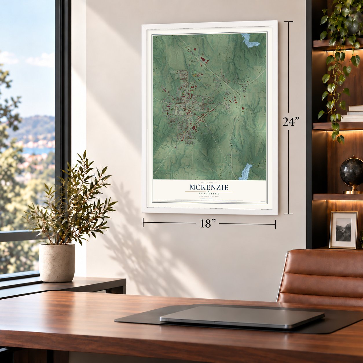
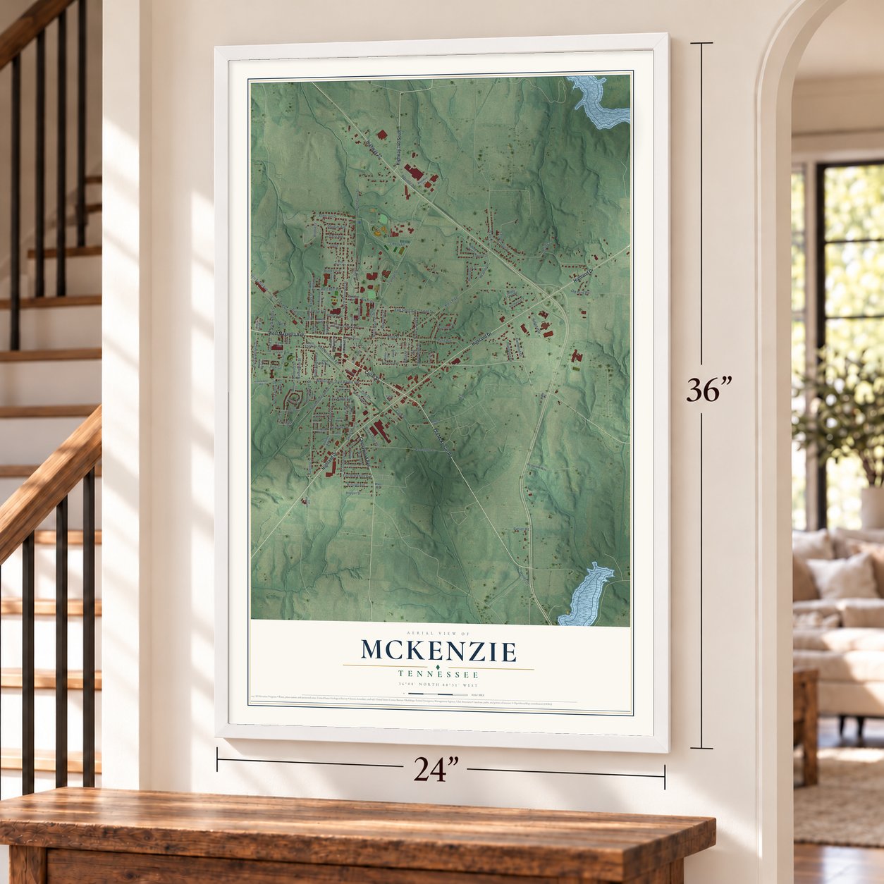
Unframed archival matte, a black wood frame or a white wood frame.
Up close
Geography Worth Displaying
This map was created using accurate cartographic data and authoritative geographic sources, including the U.S. Geological Survey and the Census Bureau. The map brings together terrain, waterways, roads, and building detail. The majority of the streets are labeled, houses are accurately depicted, and the topography is derived from government sources. Combining local data with carefully composed color and shading leads to this beautifully detailed McKenzie artwork for your wall.
Rather than simply showing street outlines, we’ve included as many of the street names as we could reasonably fit on the map while keeping their names legible. Zoom in on the high resolution preview to see exactly what’s on the map. We truly set out to create a statement piece for anyone who loves McKenzie. So whether it’s for you, or a gift for someone you love, we hope this map of McKenzie brings back fond memories.
Read the story behind this map of McKenzie, Tennessee from 2026.

About McKenzie, Tennessee
McKenzie is a city of 5,529 people in Carroll County, and small parts of it reach north into Henry County and west into Weakley County. The town began in 1865, when surveyors laid out lots on land owned by James M. McKenzie at the spot where the Nashville & Northwestern Railroad crossed the Louisville & Memphis Railroad. A stop called McKenzie Station went up at the crossing, and buildings started rising around it right away.
A. G. Gilbert opened the first store, and the firms of McKenzie & McClintoch and Mebane, Elbow & Covington came next. The state incorporated the town on January 22, 1869. A later county history counted about 1,000 people, two railroad depots, four steam cotton gins, a flour mill, a planing mill, two sawmills and two hotels, the McKenzie House and the Briant House.
“McKenzie is a classic example of a West Tennessee railroad town.”
- A president's overnight stopPresident Grover Cleveland came to McKenzie on October 15, 1887, and spent the night at the McKenzie Hotel, which stood beside the depot. The McKenzie Depot joined the National Register in 1996.
- Bethel's home since 1872Bethel College moved to McKenzie in 1872 and settled into three new buildings on the north side of town, where it has stayed ever since. Now Bethel University, the Cumberland Presbyterian school grants bachelor's and master's degrees and runs branch campuses in Jackson and Paris. After the Civil War the Methodist Church also backed a school here, the McTyeire Preparatory School.
- Shade trees from the old woodsMcKenzie was built on land that had never been cleared, so its founders spared many of the forest trees to shade the streets. By the time of the county history the town had a weekly paper, the Tri-County News, which H. C. Lawhon started in 1882, along with Methodist, Cumberland Presbyterian and Baptist churches.
- The Webb School, 1927 to 1966The all-Black Webb School served students from across West Tennessee from 1927 to 1966. Its alumni museum keeps that story in McKenzie, and the Gordon Browning Museum and Genealogical Library honors the former Tennessee governor.
Find your street
Names on the McKenzie map
Every name below is printed on this map. Look for your street, your school, the park where you played, or the pond down the road.
Places and landmarks1
- Mckenzie City Hall
Streets and roads142
- Cedar Street
- West Magnolia Avenue
- Cherrywood Avenue
- Highland Drive
- Old McKenzie Road
- Highway 22
- Highway 140 South
- North Stonewall Street
- Walnut Avenue
- North Randle Street
- Randle Street
- Park Circle
- Hopper Street
- West Bell Avenue
- Manley Street
- Cole Street
- East Smith Avenue
- North Main Street
- North Como Street
- Locust Avenue
- West Euclid Avenue
- Paris Street
- College Drive
- Paris Pike
- David Street
- Paris Avenue
- Forrest Avenue
- Hamilton Street
- Elm Street
- Kencindot Street
Show all 142 streets
- Eastwood Drive
- Clark Street
- North Carroll Street
- Como Street
- Joy Drive
- Liberty Lane
- South Main Street
- Diamond Drive
- Elwood Drive
- Cherry Avenue
- South Stonewall Street
- Smith Street
- North Oaklawn Drive
- Bethel Court
- East Walnut Avenue
- Walnut Circle
- Anderson Drive
- South Booker Street
- Euclid Avenue
- Heather Drive
- Grandberry Street
- Linden Street
- South Oak Street
- Robbie Court
- South Everett Street
- Georgia Avenue
- North Alabama Street
- Old Paris Road
- East Maple Avenue
- Winston Avenue
- West Winstead Avenue
- Washington Street
- Mulberry Street
- East Blackburn Avenue
- Republic Drive
- Hospital Drive
- Pine Street
- White Street
- Brown Shoe Road
- Brooks Avenue
- North Allen Street
- Woods Lane
- Douglas Avenue
- Hazel Avenue
- Baker Drive
- Windol Street
- Plantation Cv
- Newsome Street
- Park Lane
- Everett Road
- May Street
- Park Cv
- Mill Street
- David Court
- Florida Avenue
- Jordon Avenue
- Ruth Street
- Haynes Street
- Kay Street
- Park Street
- North Manley Street
- Tennessee Street
- Meadowood Drive
- Hays Trailer Court
- Hillview Apt Drive
- West Witt Avenue
- West End Avenue
- Forrest Circle
- Aubrey Avenue
- Linden Heights
- Barksdale Avenue
- North Bailey Street
- Northwood Drive
- Bertha Street
- Kesterson Way
- Campus Drive
- Thompson Avenue
- Woodrow Avenue
- Republic Lane
- North McTyiere Street
- Hinkledale Road
- Union Alley
- May Heights
- Field Street
- Nolen Street
- Walker Avenue
- Laurel Street
- Doug Street
- Walnut Lane
- Shady Lane Road
- Lee Avenue
- North Park Circle
- Pace Lane
- Kemp Street
- Tower Road
- Clark Place
- Wkta Road
- West McDonald Avenue
- North Spruce Street
- Shaver Lane
- West Chestnut Avenue
- West Cherry Avenue
- Oak Manor Road
- West Moore Avenue
- Beal Avenue
- Southside Avenue
- Richardson Avenue
- East Magnolia Avenue
- Owens Street
- Caldwell Street
- West Morris Street
- Bolton Lane
Names are listed as they appear on the printed map. Zoom into the product photos to find them.
The art of mapping a place
How This Map Was Made
Real places. Remarkable detail. Discover the layers that turn geographic data into a map of home.

The view from above
Aerial imagery reveals the character of the land: woodland, open fields, and the patterns of a place.

The shape of the land
Elevation data brings hills, valleys, and subtle changes in the landscape into view.

The details of home
Roads, waterways, and building footprints come together to make the map feel unmistakably local.

Geography becomes art
Considered color, shading, and typography bring the layers together in a map made for your wall.


Process illustrated with Mendon, Massachusetts. Aerial imagery: USDA NAIP. Terrain: USGS 3D Elevation Program. Map details and finished artwork: KNOWOL.
The Details
About This Print
Choose an archival matte print, or a black or white Ayous wood frame. The archival matte print is unframed.
Select your size and finish above to see the matching product image and price.
Materials & Craftsmanship
A contemporary map with the character of a classic atlas, printed on archival matte paper. Optional frames are made from Ayous wood.
Your printed map does not include the watermark shown in the full-map preview.
Shipping & Delivery
Free shipping within the United States. Every print is made to order in the USA.
Buying a gift? Add a note in your cart and we'll include it. We never put prices in the package.
Prints ship within 2 to 3 business days. Allow 7 to 10 days total from ordering for delivery. Timing may vary during holidays or periods of high order volume.
Read our shipping policy.
Returns and damaged prints
Each print is made to order. Change-of-mind refunds are not available after production.
If your print arrives damaged, misprinted or incorrect, contact support@knowol.com within 30 days of receiving it. Include your order number, photos and a description of the issue.
Read our full refund and replacement policy. For questions about your order, email support@knowol.com.
Find your town
Looking for another city?
Find a map of home in our Tennessee collection, or any town in the country.
Nearby
Maps of towns near McKenzie
Know someone from one of these towns? Their map makes a great gift.
 Henry
Henry, Tennessee
From $39.99See the map
 Gleason
, Tennessee
From $39.99See the map
 Huntingdon
, Tennessee
From $39.99See the map
More maps nearby: Trezevant, McLemoresville, Atwood, Dresden and Hollow Rock.