
Search for another town

Free U.S. delivery 7 to 10 days after you order
Medina, Ohio Map Art
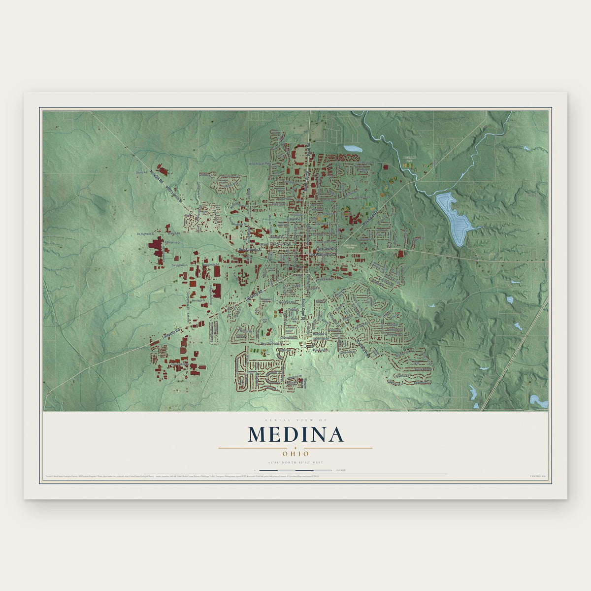
Building by building, with labeled streets and shaded relief.
12" x 18" Archival Matte Print
A Map of Home. A Work of Art.
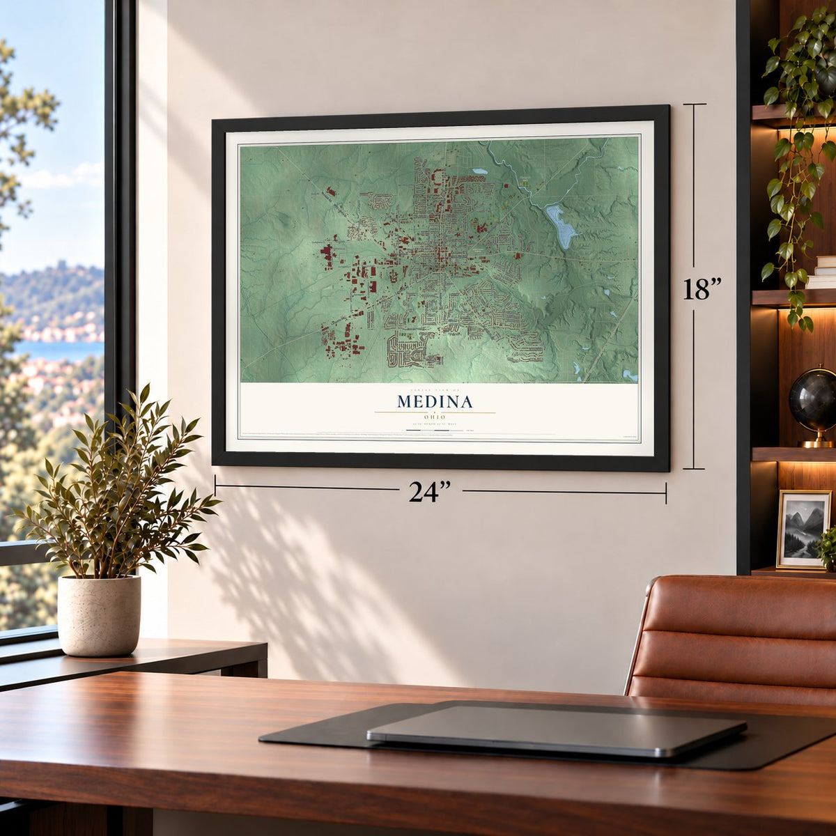
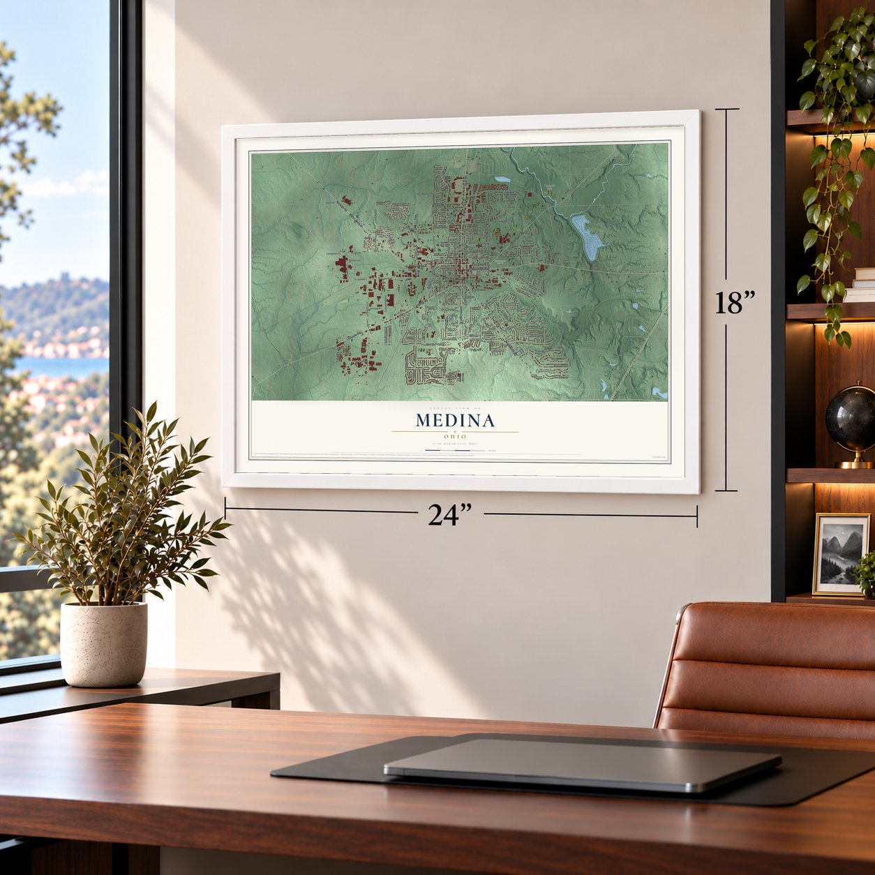
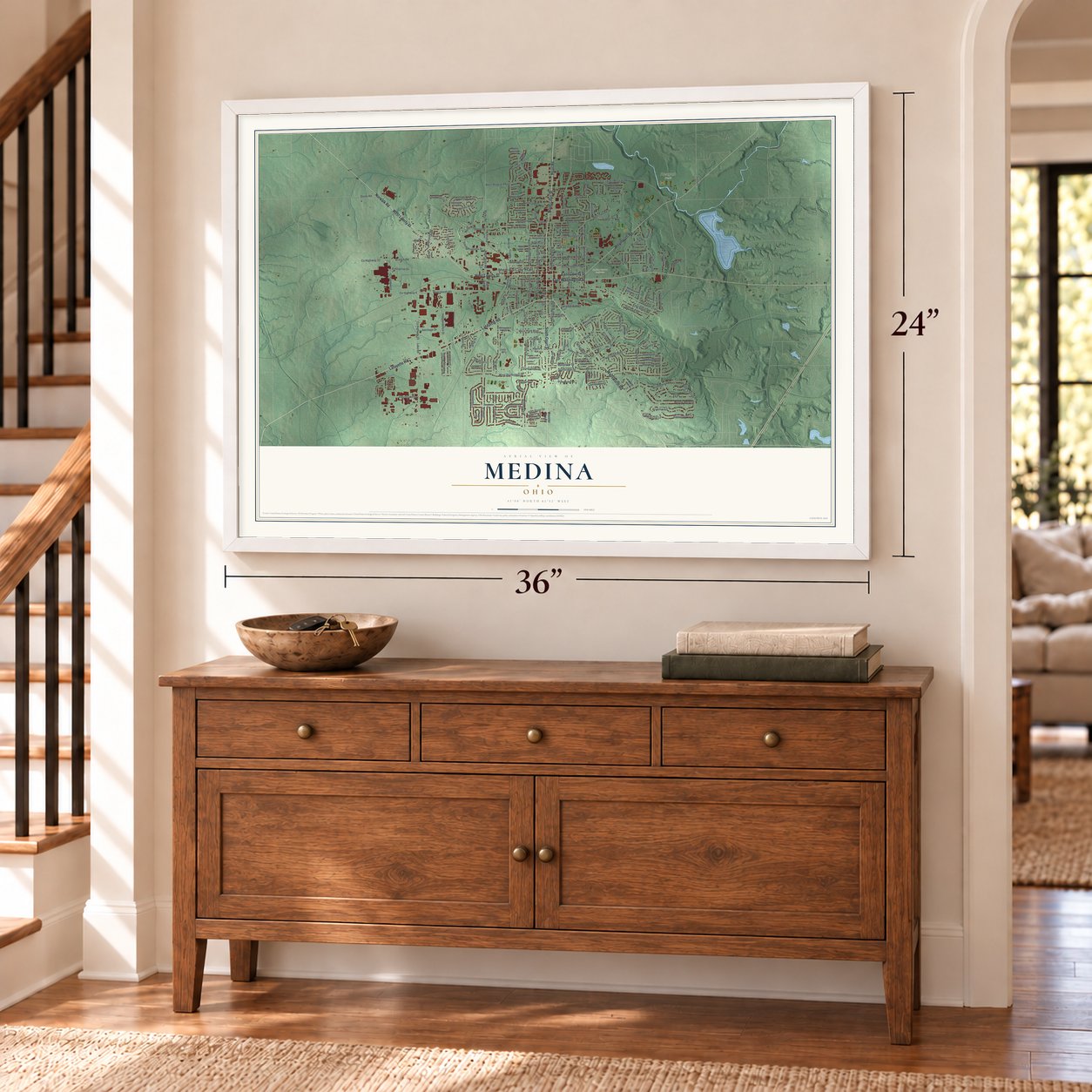
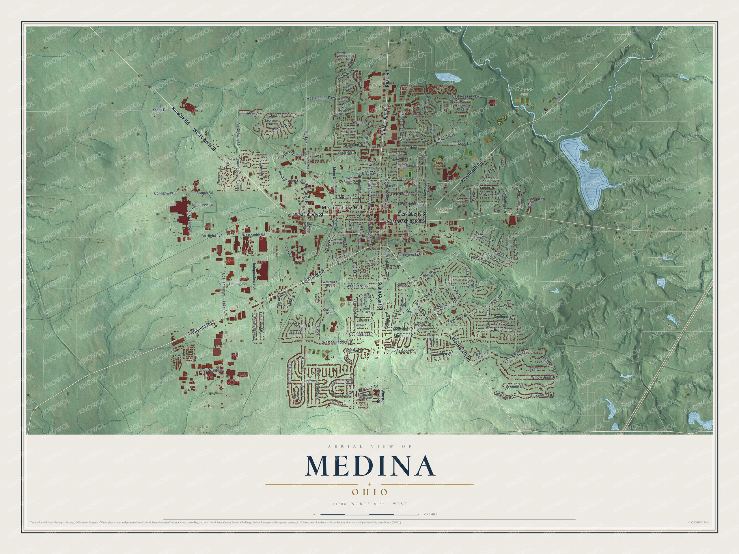
Explore Medina, Ohio from a whole new perspective. Created using aerial imagery and detailed geographic data, this map captures Medina building by building, with labeled streets, familiar landmarks, and shaded topographical relief that highlights the natural contours of the landscape.
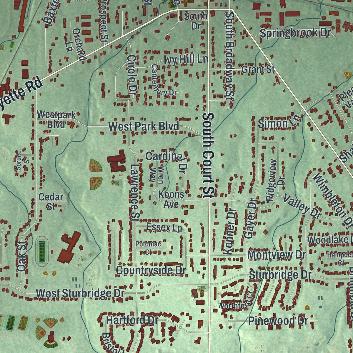
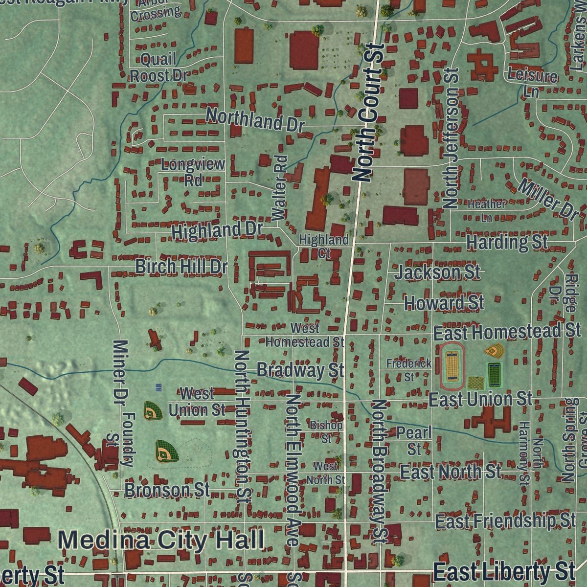
Combining modern data with the timeless character of a vintage atlas, this map is just as interesting up close as it is beautiful on the wall. Whether you grew up in Medina, spent memorable years there, or call it home today, this unique map is a great way to celebrate a place that means something to you. Zoom in on the preview to look for your street, and then order a print to put your memories on the wall.
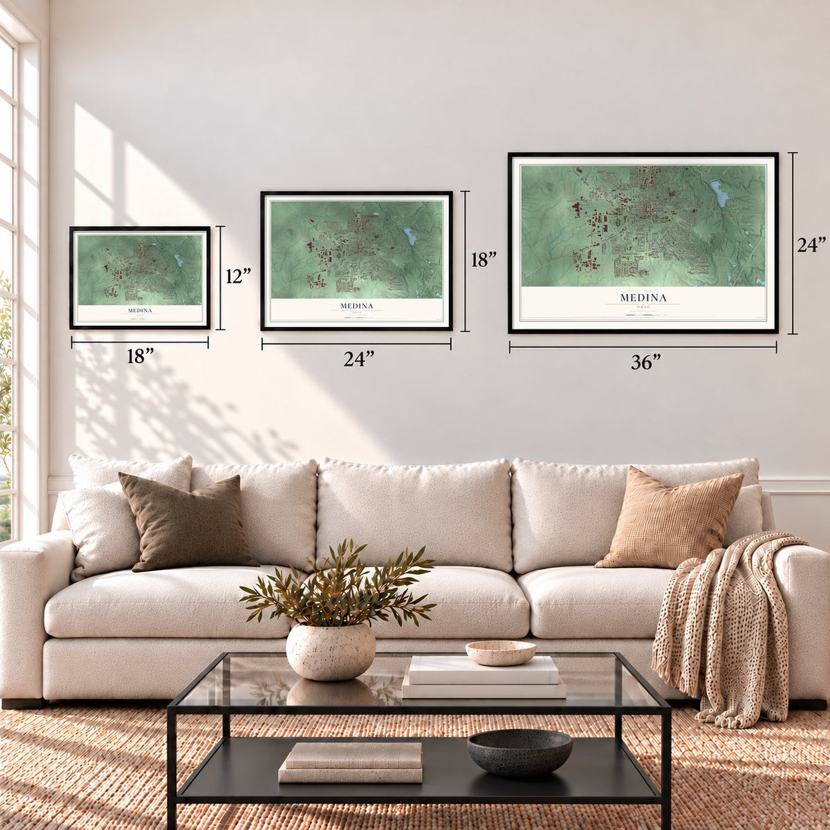
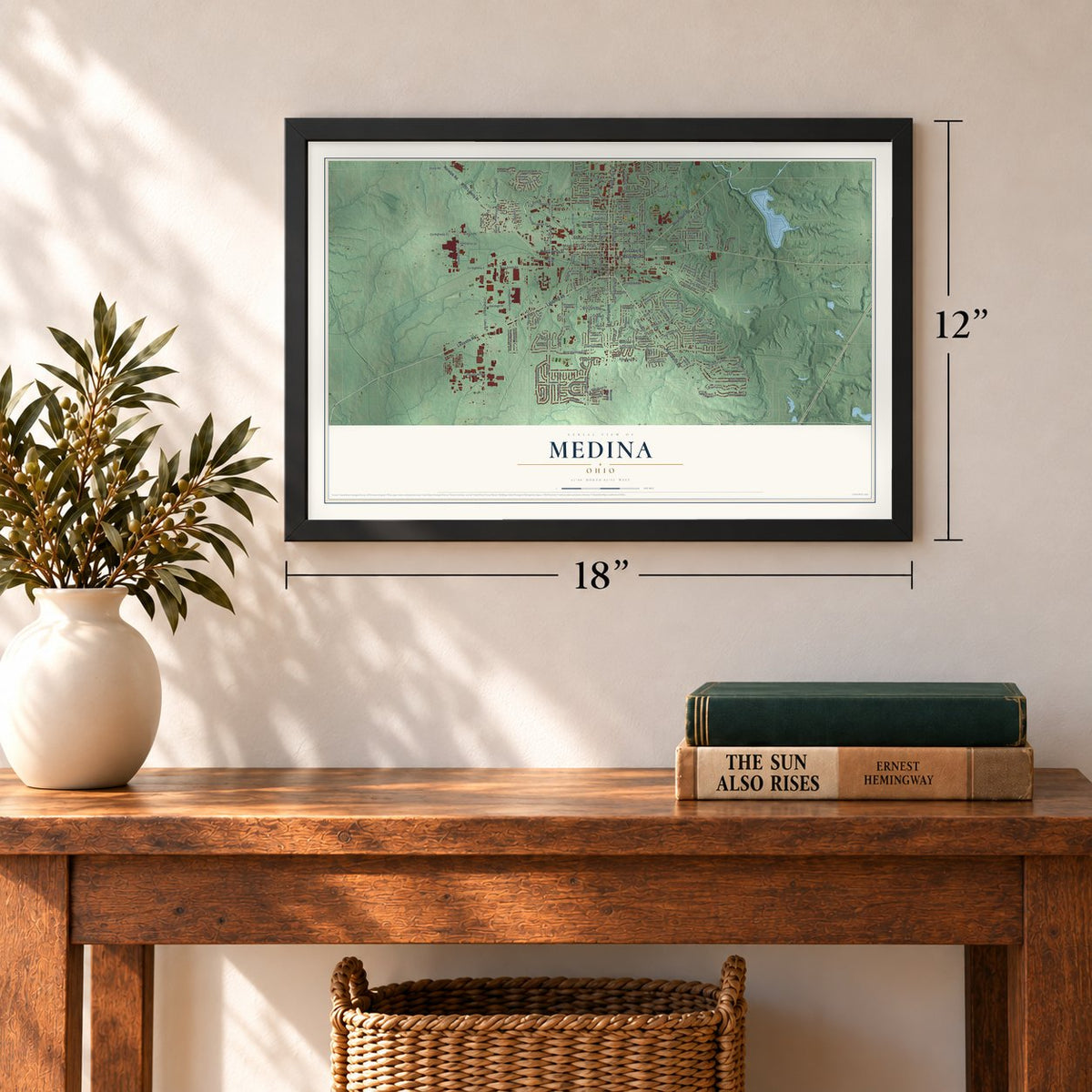
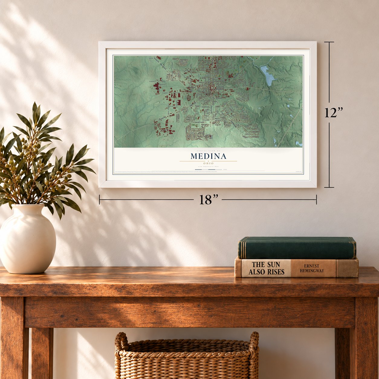
Three ways to hang it
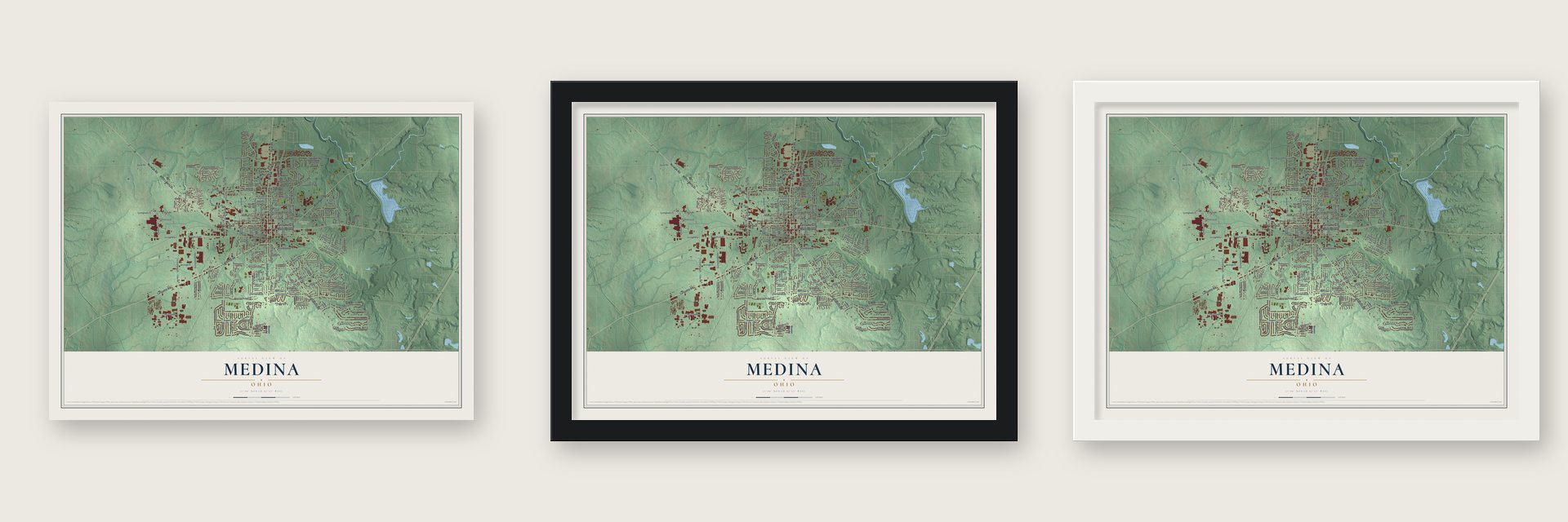
Unframed archival matte, a black wood frame or a white wood frame.
Up close
Geography Worth Displaying
This map was created using accurate cartographic data and authoritative geographic sources, including the U.S. Geological Survey and the Census Bureau. The map brings together terrain, waterways, roads, and building detail. The majority of the streets are labeled, houses are accurately depicted, and the topography is derived from government sources. Combining local data with carefully composed color and shading leads to this beautifully detailed Medina artwork for your wall.
Rather than simply showing street outlines, we’ve included as many of the street names as we could reasonably fit on the map while keeping their names legible. Zoom in on the high resolution preview to see exactly what’s on the map. We truly set out to create a statement piece for anyone who loves Medina. So whether it’s for you, or a gift for someone you love, we hope this map of Medina brings back fond memories.
Find your street
Names on the Medina map
Every name below is printed on this map. Look for your street, your school, the park where you played, or the pond down the road.
Places and landmarks3
- Medina City Hall
- Reagan Park
- Spring Grove Cemetery
Streets and roads204
- Lafayette Road
- Wadsworth Road
- South Court Street
- North Court Street
- Pearl Road
- East Liberty Street
- West Liberty Street
- East Washington Street
- Weymouth Road
- Norwalk Road
- North Broadway Street
- South Broadway Street
- Hartford Drive
- West Smith Road
- East Reagan Parkway
- Old Farm Trail
- North State Road
- High Point Drive
- Wimbleton Drive
- East Smith Road
- West Sturbridge Drive
- East Union Street
- Patriots Way
- Highland Drive
- Marks Road
- Lake Road
- North Huntington Street
- Sturbridge Drive
- Guilford Boulevard
- Branch Road
Show all 204 streets
- North Jefferson Street
- Dover Drive
- Dover Street
- Abbeyville Road
- West Reagan Parkway
- Ty Drive
- Brandywine Drive
- Lawrence Street
- County Highway 19
- Beechwood Drive
- Hillview Way
- Oak Street
- Willow Bend Drive
- Woodland Drive
- Continental Drive
- West Park Boulevard
- East Friendship Street
- Waterbury Drive
- Halifax Lane
- Alexandria Lane
- Sunhaven Drive
- County Highway 33
- Gold Crest Drive
- Roshon Drive
- Gayer Drive
- Industrial Parkway
- Fair Road
- Damon Drive
- Birch Hill Drive
- Ryan Road
- North Elmwood Avenue
- East Homestead Street
- Concord Drive
- Harding Street
- Circle Drive
- Savannah Trail
- Commerce Drive
- South Elmwood Avenue
- Southport Drive
- Vineyard Drive
- Andrews Road
- County Highway 47
- Brynmar Lane
- Northland Drive
- Oakbrooke Drive
- Falling Oaks Drive
- Brookpoint Drive
- Berkshire Drive
- Yorktown Drive
- Independence Drive
- Montview Drive
- Yesterday Lane
- East North Street
- Countryside Drive
- North Progress Drive
- Baxter Street
- South Huntington Street
- Pinewood Drive
- South Progress Drive
- Valley Drive
- Shaker Drive
- Lindenwood Lane
- Brimfield Drive
- Glenshire Lane
- Heritage Drive
- Grandview Lane
- Springbrook Drive
- Lancaster Drive
- Cardinal Drive
- Twin Oaks Boulevard
- Miner Drive
- County Highway 4
- Bronson Street
- Ivy Hill Lane
- Gloucester Drive
- Sugarhouse Lane
- Stone Road
- Enterprise Drive
- Miller Drive
- Grove Lane
- Gentry Drive
- Chadwick Lane
- Cambridge Drive
- Bradway Street
- Howard Street
- Soverign Lane
- Eden Lane
- Jackson Street
- Kenner Drive
- Seeley Drive
- Simon Lane
- Blanot Street
- Wooster Pike Road
- Leisure Lane
- Smokerise Drive
- Westpark Boulevard
- South Prospect Street
- Ridgeview Drive
- Laurel Glens Drive
- Longview Road
- Timber Trail
- West Union Street
- Norwegian Wood Drive
- North Spring Grove Street
- Stratton Drive
- Westwood Drive
- Yorkshire Drive
- Nantucket Colony Circle
- Essex Lane
- Ridge Drive
- Broken Fence Drive
- Pleasant Valley Drive
- Grant Street
- South Medina Street
- Cloverdale Avenue
- Larkens Way
- Saratoga Trail
- South State Road
- Quail Roost Drive
- Koons Avenue
- Woodlake Drive
- Meadow Gateway
- Jasper Lane
- Sandy Lane
- Bristol Lane
- Foundry Street
- Joshua Way
- Mallet Hill Court
- South Vine Street
- Squires Court
- Walter Road
- Lipke Court
- Shagbark Trail
- Orchard Lane
- Bella Rosa Court
- Curtis Street
- Walnut Drive
- Pearl Street
- Cedar Street
- Mill Street
- South Drive
- North Harmony Street
- County Highway 22
- Bridgehampton Drive
- Northford Court
- West Homestead Street
- South East Street
- Chapman Lane
- Canterbury Drive
- Wren Way
- Huffman Road
- West Mill Street
- Highland Court
- Dawn Court
- Arbor Crossing
- Millbury Drive
- York Road
- Alber Drive
- Shorewood Drive
- West North Street
- Westgrove Court
- Heather Lane
- Hampden Court
- Richard Drive
- Fairfax Drive
- Cedarwood Lane
- Spruce Street
- La Salle Street
- West Branch Drive
- Frederick Street
- Bishop Street
- Potomac Court
- Warwick Court
- Cornell Court
Names are listed as they appear on the printed map. Zoom into the product photos to find them.
About Medina, Ohio
Medina is a city of 26,094 people and the seat of Medina County, about 33 miles south of Cleveland. Its founders laid it out on November 30, 1818, in the Connecticut Western Reserve and called it Mecca. Another Ohio community already used that name, so they chose Medina instead, which, like Mecca, is a holy city of Islam in Arabia.
Most of the first residents farmed, and the Ohio and Erie Canal, finished in the 1830s, gave their crops a route to market. Medina became a village and the county seat on January 31, 1835, and by 1855 its quarries were turning out more than $200,000 worth of stone a year. The town passed 5,000 residents by 1950 and received its city charter on May 6, 1952.
- The fires of 1848 and 1870In 1848 a fire burned for four hours and took the entire business district while residents fought it with buckets. Nobody died, but the village still set no money aside for equipment. In 1870 a blaze that began in a barbershop's wooden building destroyed 45 buildings, leaving only two blocks of downtown standing. After repeated warnings, the council finally approved $3,000 in bonds for a fire engine in 1877.
- A Victorian squareHarrison Gray Blake, a banker, onetime mayor and owner of the Phoenix Building, oversaw the rebuilding of the square after 1870, including the Town Hall and Engine House. The work took almost ten years, so the new buildings share one Victorian style. Medina Square is now a historic district of nine blocks around Uptown Park, and Blake's own house joined the National Register in 1982.
- Beehives made in MedinaAmos Ives Root founded the A. I. Root Company in 1869 to make beehives and beekeeping equipment, and Medina grew into a center of the trade. By 1886 the company had 97 workers, more than any other employer in town. In 1879 Root built a house at 662 West Liberty Street, where his family stayed until 1953. The Root Homestead joined the National Register in 1975.
- A false charge in 1835In 1835 two enslaved women arrived in Medina by stagecoach with two Native Americans. One was the daughter of Julia Chinn and Richard Mentor Johnson, then a vice presidential candidate. The next day Johnson's nephew came, claimed both women and accused them of stealing a $1,000 bank check. Three local attorneys offered to defend them, yet the court handed them to the nephew for trial in Kentucky. The theft charge later proved a lie meant to return them.
Keep exploring Ohio
Medina is one of 1,389 Ohio towns we've mapped. Every dot on the map is a print of its own.
The search covers every state, Ohio first.
Near Medina
Order 2 or more town maps and save 10%. Shown in the size and finish you picked above, so they hang as a set.
- Chippewa Lake 12" x 18" / Archival Matte Print $39.99
- Gloria Glens Park 12" x 18" / Archival Matte Print $39.99
- Granger 12" x 18" / Archival Matte Print $39.99
More maps nearby: Sharon Center, Valley City, Seville, Westfield Center and Brunswick.
The art of mapping a place
How This Map Was Made
Real places. Remarkable detail. Discover the layers that turn geographic data into a map of home.

The view from above
Aerial imagery reveals the character of the land: woodland, open fields, and the patterns of a place.

The shape of the land
Elevation data brings hills, valleys, and subtle changes in the landscape into view.

The details of home
Roads, waterways, and building footprints come together to make the map feel unmistakably local.

Geography becomes art
Considered color, shading, and typography bring the layers together in a map made for your wall.


Process illustrated with Mendon, Massachusetts. Aerial imagery: USDA NAIP. Terrain: USGS 3D Elevation Program. Map details and finished artwork: KNOWOL.
The Details
About This Print
Choose an archival matte print, or a black or white Ayous wood frame. The archival matte print is unframed.
Select your size and finish above to see the matching product image and price.
Materials & Craftsmanship
A contemporary map with the character of a classic atlas, printed on archival matte paper. Optional frames are made from Ayous wood.
Your printed map does not include the watermark shown in the full-map preview.
Shipping & Delivery
Free shipping within the United States. Every print is made to order in the USA.
Buying a gift? Add a note in your cart and we'll include it. We never put prices in the package.
Prints ship within 2 to 3 business days. Allow 7 to 10 days total from ordering for delivery. Timing may vary during holidays or periods of high order volume.
Read our shipping policy.
Returns and damaged prints
Each print is made to order. Change-of-mind refunds are not available after production.
If your print arrives damaged, misprinted or incorrect, contact support@knowol.com within 30 days of receiving it. Include your order number, photos and a description of the issue.
Read our full refund and replacement policy. For questions about your order, email support@knowol.com.