
Search for another town



Free U.S. delivery 7 to 10 days after you order
Meridian, Mississippi Map Art
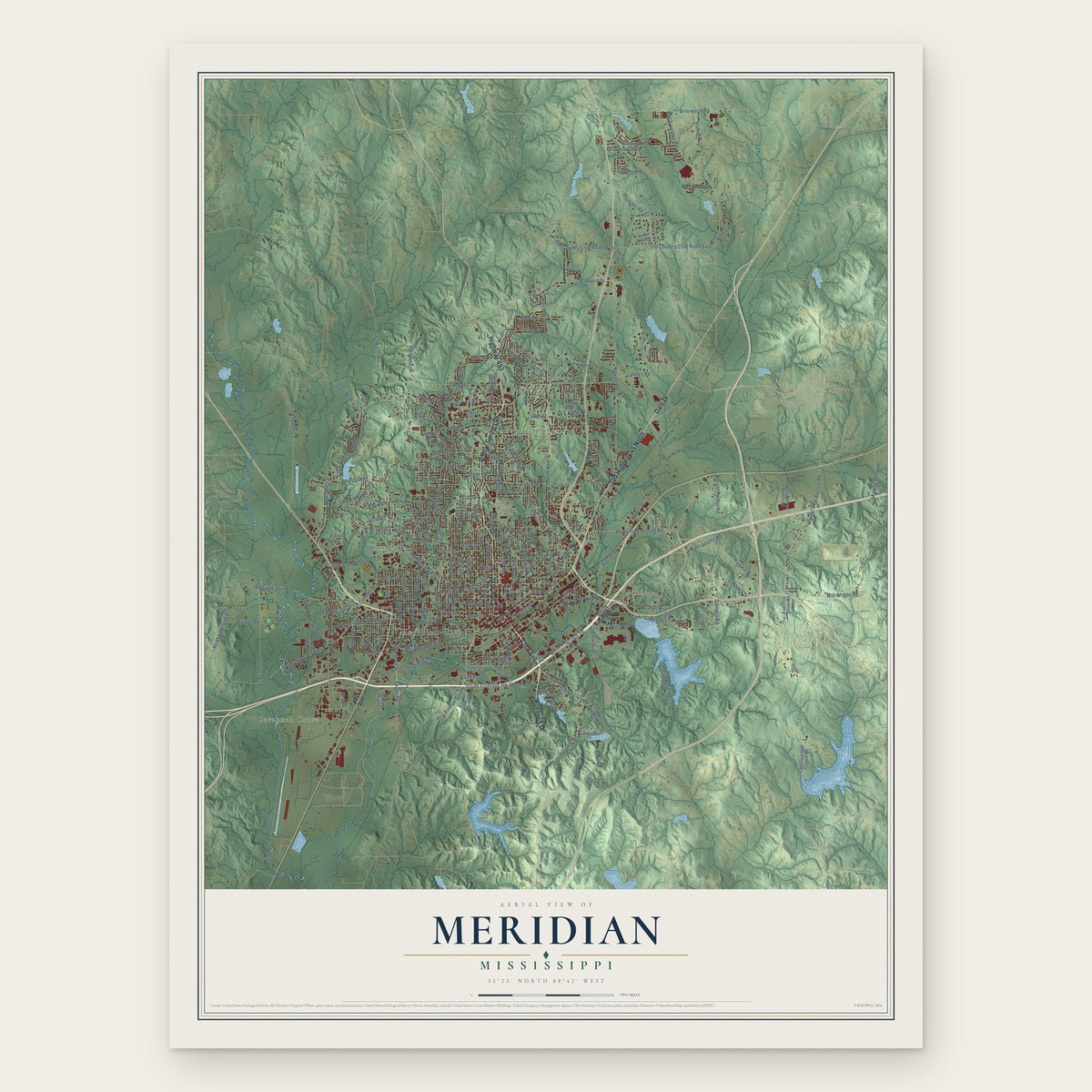
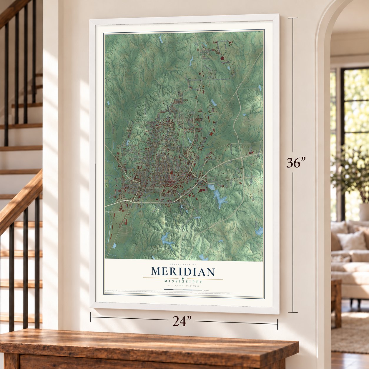
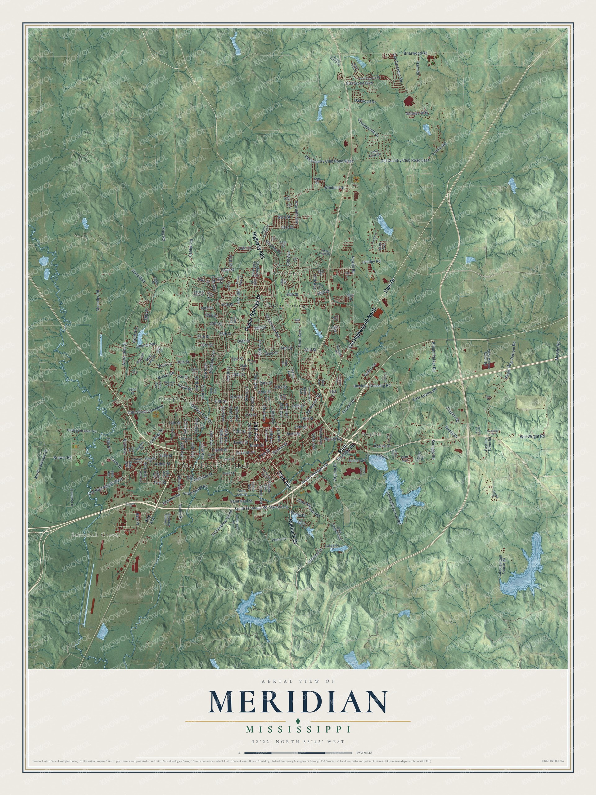
A new map of Meridian, Mississippi, made in 2026 and printed to order on thick archival matte paper.
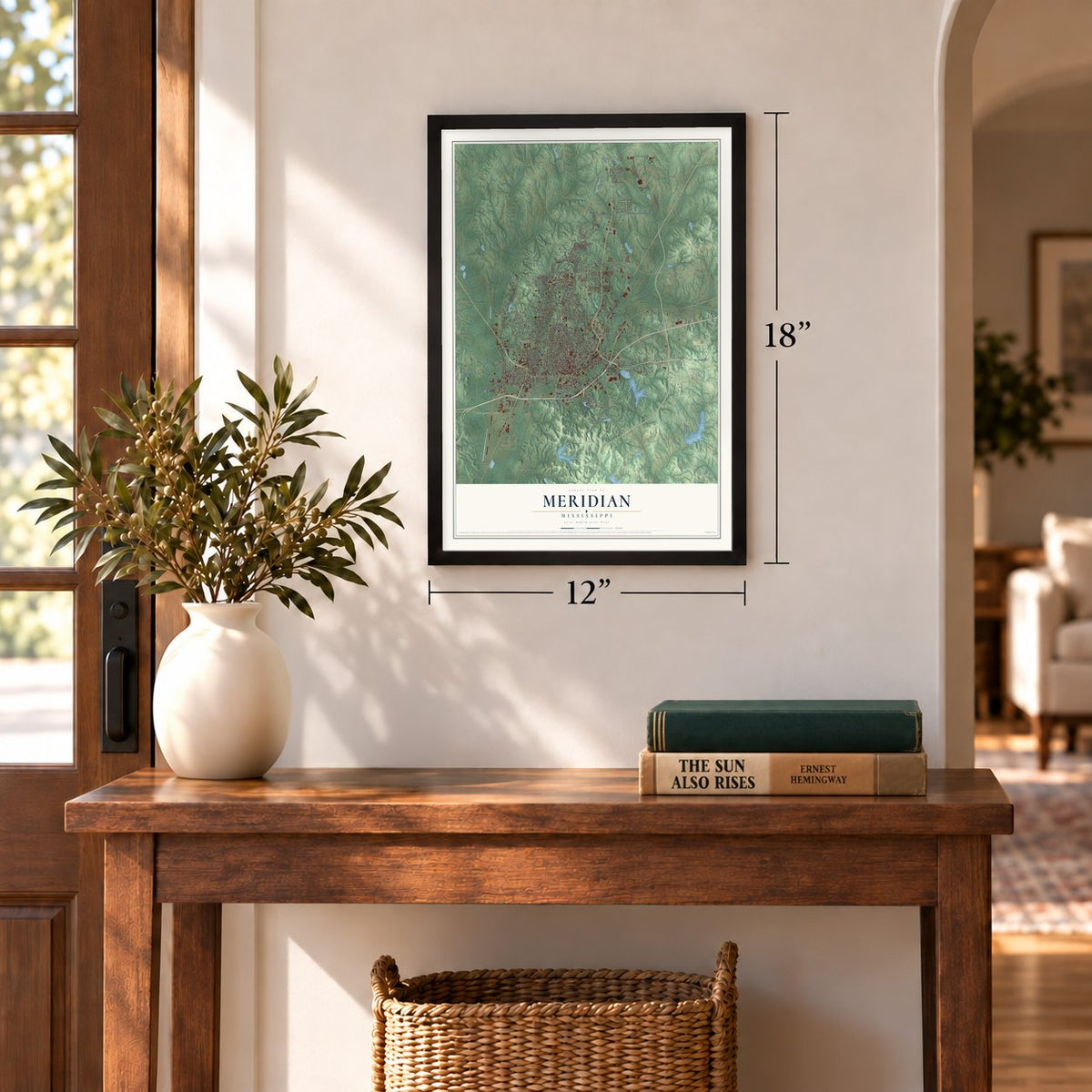
12" x 18" Archival Matte Print
A Map of Home. A Work of Art.
Explore Meridian, Mississippi from a whole new perspective. Created using aerial imagery and detailed geographic data, this map captures Meridian building by building, with labeled streets, familiar landmarks, and shaded topographical relief that highlights the natural contours of the landscape.
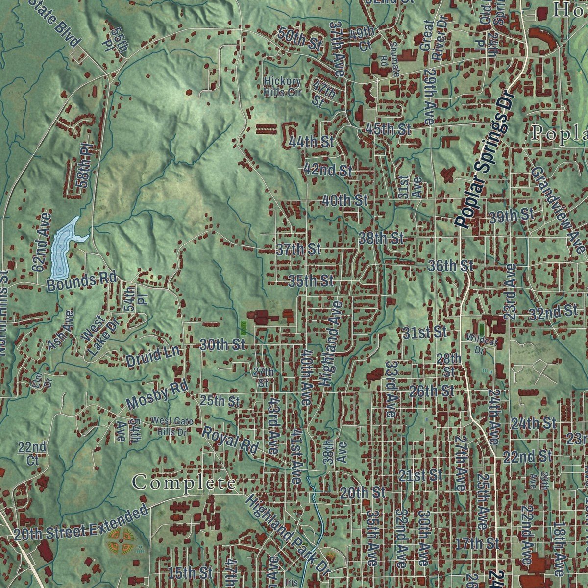
Combining modern data with the timeless character of a vintage atlas, this map is just as interesting up close as it is beautiful on the wall. Whether you grew up in Meridian, spent memorable years there, or call it home today, this unique map is a great way to celebrate a place that means something to you. Zoom in on the preview to look for your street, and then order a print to put your memories on the wall.
Three ways to hang it
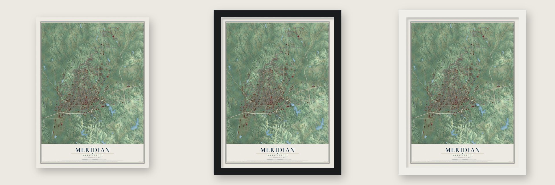
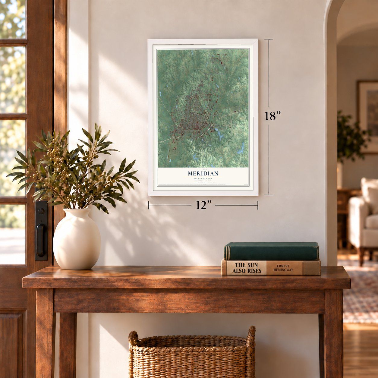
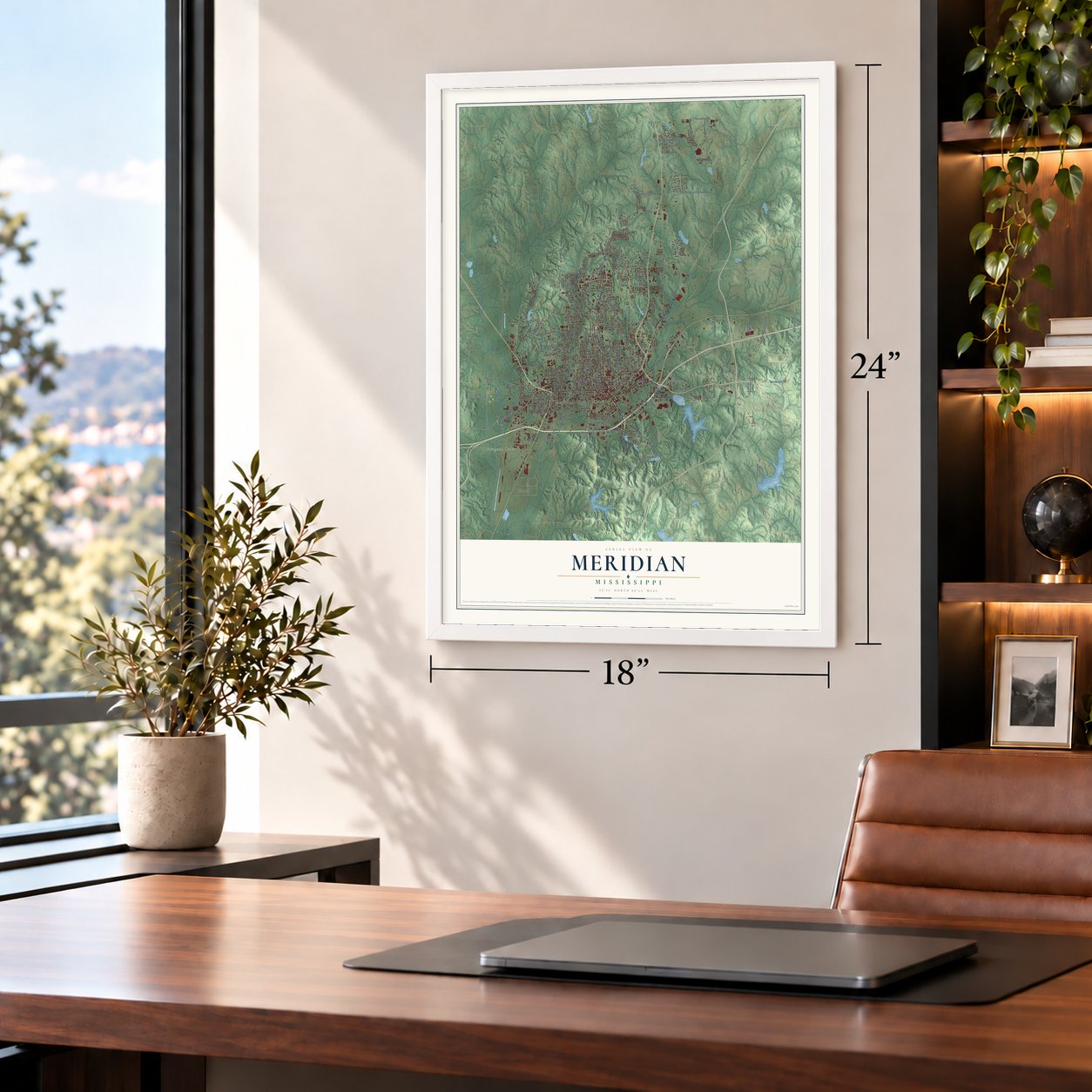
Unframed archival matte, a black wood frame or a white wood frame.
Up close
Geography Worth Displaying
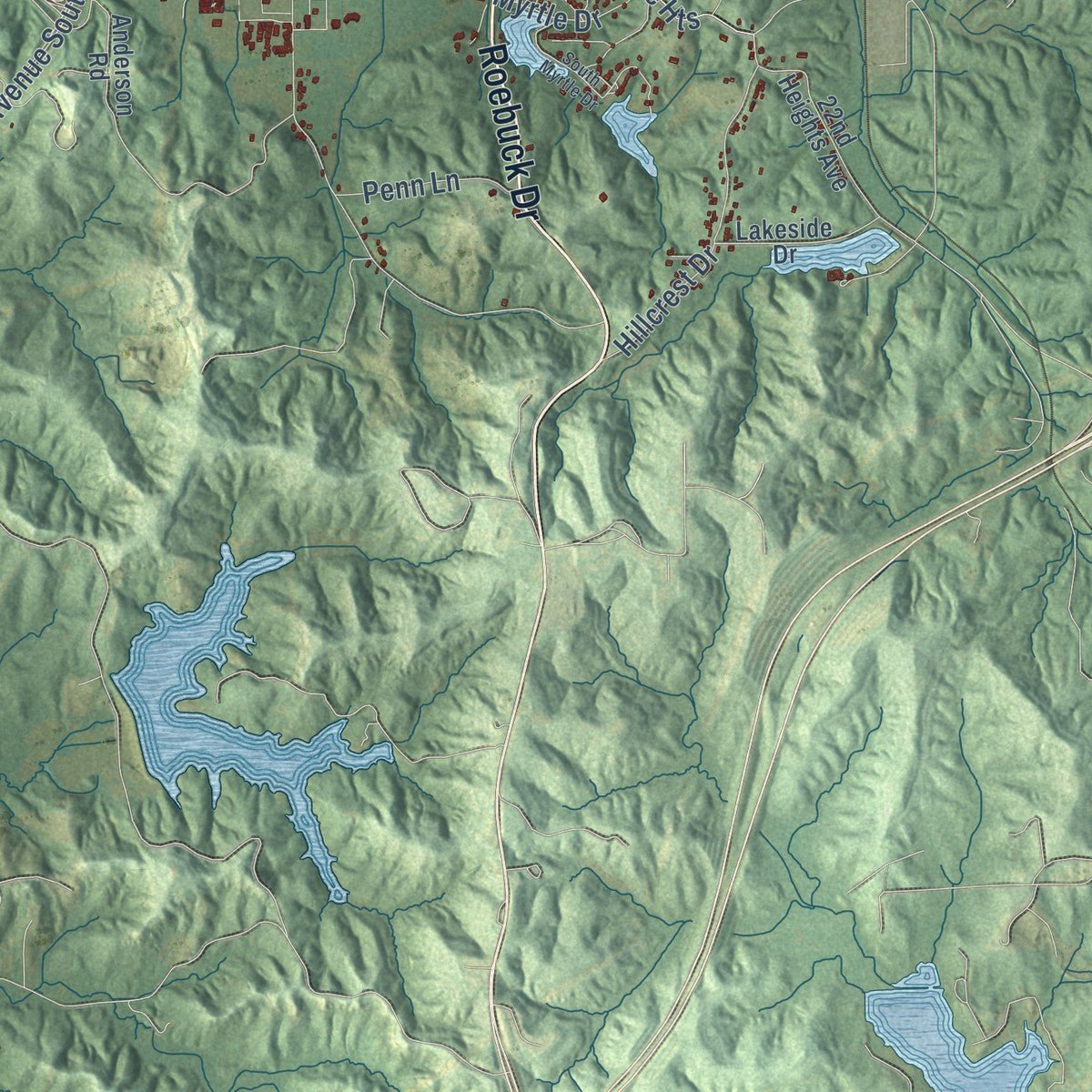
This map was created using accurate cartographic data and authoritative geographic sources, including the U.S. Geological Survey and the Census Bureau. The map brings together terrain, waterways, roads, and building detail. The majority of the streets are labeled, houses are accurately depicted, and the topography is derived from government sources. Combining local data with carefully composed color and shading leads to this beautifully detailed Meridian artwork for your wall.
Rather than simply showing street outlines, we’ve included as many of the street names as we could reasonably fit on the map while keeping their names legible. Zoom in on the high resolution preview to see exactly what’s on the map. We truly set out to create a statement piece for anyone who loves Meridian. So whether it’s for you, or a gift for someone you love, we hope this map of Meridian brings back fond memories.
Read the story behind this map of Meridian, Mississippi from 2026.

About Meridian, Mississippi
Meridian is a city of 35,052 people and the seat of Lauderdale County, in eastern Mississippi near the Alabama line. The Choctaw lived here until the 1830 Treaty of Dancing Rabbit Creek gave the land to the United States. Richard McLemore, the first settler, held a federal grant of about 2,000 acres and gave land away to draw newcomers. In 1853 Lewis A. Ragsdale, a lawyer from Alabama, bought most of it, and John T. Ball, a Kemper County merchant, bought the last 80 acres.
Both men began laying out lots, and they quarreled over a name. Ragsdale wanted Ragsdale City, the farmers liked Sowashee, a Choctaw word for "mad river" taken from a nearby creek, and Ball and the town's industrial residents backed Meridian. Ball put up a depot beside the Mobile and Ohio tracks, and its sign switched between Meridian and Sowashee from one day to the next. Railroad workers poured in and settled the fight, and the town was chartered as Meridian in 1860.
“Meridian, with its depots, store-houses, arsenal, hospitals, offices, hotels, and cantonments no longer exists.”
- Back on track in 26 daysThe rail junction made Meridian valuable to the Confederates, who built military posts here during the Civil War. In February 1864 General William Tecumseh Sherman's troops tore up the tracks leading out of town, wrecked the arsenal and storehouses, and burned many buildings. Crews worked fast, and the lines were running again 26 working days after the battle.
- Mississippi's largest cityAfter the war the railroads brought factories and people, and Meridian's Golden Age ran from 1880 to 1910. From 1890 to 1930 it was the largest city in Mississippi. That wealth built the Grand Opera House, which opened in 1890. The Wechsler School followed in 1894, and the Threefoot Building, still the tallest in town, went up in 1929. In 2006 the opera house reopened as the Riley Center, run by Mississippi State University.
- The Singing BrakemanJimmie Rodgers was born in Meridian in 1897 to a railroad worker. He worked on trains before he sang about them, which gave him his first nickname, and he became known as the Father of Country Music. A museum in Highland Park shows his memorabilia next to railroad equipment from the age of steam.
- Mississippi's first airportIn 1935 the brothers Al and Fred Key set a world endurance flight record, and their stunt led the city to build Key Field, the first airport in the state. Four years later the Mississippi National Guard formed an air squadron there, the army trained pilots on the field during World War II, and today it is home to the 186th Air Refueling Wing.
- A verdict in MeridianIn 1963 James Chaney, a Meridian activist, helped Michael and Rita Schwerner set up community centers there. In June 1964 Chaney, Michael Schwerner and Andrew Goodman were murdered in Neshoba County. At the trial in Meridian's federal courthouse in 1966 and 1967, an all-white jury convicted seven Klansmen, including a deputy sheriff. No white jury had ever before found a white official guilty in a civil rights killing. The city later renamed part of 49th Avenue for Chaney.
Find your street
Names on the Meridian map
Every name below is printed on this map. Look for your street, your school, the park where you played, or the pond down the road.
Places and landmarks6
- Meridian City Hall
- Savannah Grove
- Bonita
- Complete
- Houston
- Poplar Springs
Streets and roads249
- 22nd Avenue
- 24th Avenue
- Roebuck Drive
- Poplar Springs Drive
- Dale Drive
- Old Highway 45 North
- Highway 493
- North Frontage Road
- Eighth Street
- Sixth Street
- Lindley Road
- 39th Avenue
- Sweet Gum Bottom Road
- Second Street
- Russell Drive
- Fifth Street
- 61st Place
- 17th Avenue
- 20th Street Extended
- Tenth Street
- 14th Avenue
- 47th Avenue
- Railroad Street
- North Hills Street
- Bonita Reservoir Road
- Tenth Avenue
- 29th Avenue
- Newell Road
- State Boulevard
- 18th Avenue
Show all 249 streets
- South Frontage Road
- 35th Avenue
- 36th Avenue
- 14th Street
- Old Highway 80 West
- 23rd Avenue
- King Road
- 19th Street
- 20th Street
- 26th Street
- 23rd Street
- 15th Street
- 30th Avenue
- 33rd Avenue
- 16th Street
- 34th Avenue
- 16th Avenue
- 44th Avenue
- 21st Street
- 40th Avenue
- 65th Avenue
- Old Marion Road
- Van Zyverden Road
- Bonita Drive
- Eleventh Avenue
- 13th Street
- 17th Street
- Grand Avenue
- Briarwood Road
- 22nd Street
- 24th Street
- Murphy Road
- 25th Avenue
- 45th Avenue
- 37th Avenue
- 49th Avenue
- 32nd Avenue
- Hawkins Crossing Road
- North Lakeland Drive
- Grandview Avenue
- 26th Avenue
- 13th Avenue
- 36th Street
- 43rd Avenue
- 27th Avenue
- Old Country Club Road East
- 32nd Street
- 34th Street
- 40th Street
- Mosby Road
- Lovers Lane
- 31st Street
- Ninth Street
- 38th Street
- 48th Avenue
- 45th Street
- 41st Avenue
- Virginia Drive
- 42nd Avenue
- Fifth Avenue
- 19th Avenue
- 37th Street
- First Street
- Interchange Road
- Bounds Road
- Confederate Drive
- Highland Avenue
- 33rd Street
- Lake Drive
- Windmill Drive
- Old Country Club Road West
- Chandler Road
- Seventh Street
- Sixth Avenue
- 30th Street
- Arthur Street
- Knight Parker Road
- Hillcrest Drive
- Royal Road
- East Adams Road
- 52nd Street
- Will Wright Road
- Galilee Road
- 46th Street
- 22nd Avenue Heights
- College Drive
- 31st Avenue South
- 44th Street
- 39th Street
- Saint Paul Street
- Azalea Drive
- 56th Court
- Valley Road
- 62nd Avenue
- 42nd Street
- 63rd Street
- Scruggs Road
- Vally Street
- Pippins Road
- Sellers Drive
- 61st Court
- Highland Park Drive
- 35th Street
- Brewer Road
- Briarwood Boulevard
- Laure Drive
- Ham Road
- Penn Lane
- 59th Avenue
- 50th Street
- Druid Lane
- Myrtle Drive
- Arundel Road
- Lizelia Road
- Natures Way
- Oakwood Drive
- Bonita Road
- 31st Place
- 58th Place
- 46th Court
- 70th Place
- Key Avenue
- 69th Court
- 28th Street
- Old Eighth Saint Road
- Twelfth Avenue
- 25th Street
- Lakeview Golf Course Road
- 38th Avenue
- Tommy Webb Drive
- Ninth Avenue
- Fourth Avenue
- Third Street
- 15th Avenue
- West Malone Ranch Road
- 13th Place
- 64th Avenue
- Bonita Lakes Drive
- Saint John Street
- 21st Avenue
- Anderson Road
- Rubush Avenue
- 53rd Avenue
- Third Avenue
- 69th Avenue
- 54th Avenue
- 56th Avenue
- Old Poplar Springs Drive
- 15th Place
- 22nd Heights Avenue
- East Fire Tower Road
- Tanner Circle
- 31st Avenue
- 49th Court
- Cherokee Road
- Great River Drive
- Lakeside Drive
- Sowashee Street
- Lake Cove Drive
- 45th Court
- 55th Place
- 38th Court
- 14th Place
- 47th Street
- 24th Place
- 57th Court
- West Lake Drive
- North Avenue
- Ash Avenue
- Fulton Avenue
- 51st Street
- Deer Run
- 21st Court
- 54th Place
- 22nd Court
- Eleventh Street
- 46th Avenue
- 27th Street
- Davis Street
- Manning Street
- Grand Cypress Drive
- Timber Ridge Road
- Hickory Hills Circle
- Harvey Cut Off Road
- 63rd Avenue
- Meridale Road
- 60th Avenue
- Perimeter Drive
- Watters Road
- 40th Court
- First Place
- 20th Avenue
- Valley Street
- Seventh Avenue
- West Gate Hills Drive
- Shumate Road
- Eagle Pointe Drive
- Bonita Lakes Circle
- East Gardens Drive
- 48th Court
- South Myrtle Drive
- Willow Ridge Drive
- Oak Grove Drive
- Oakland Park Street
- Sandflat Road
- 26th Avenue South
- Thornberry Place
- Woodville Drive
- Harpers Drive
- 18th Place
- Rencher Street
- 54th Street
- South Cook Road
- Wildcat Drive
- 50th Court
- Clark Road
- 66th Street
- Elm Drive
- Iris Street
Names are listed as they appear on the printed map. Zoom into the product photos to find them.
The art of mapping a place
How This Map Was Made
Real places. Remarkable detail. Discover the layers that turn geographic data into a map of home.

The view from above
Aerial imagery reveals the character of the land: woodland, open fields, and the patterns of a place.

The shape of the land
Elevation data brings hills, valleys, and subtle changes in the landscape into view.

The details of home
Roads, waterways, and building footprints come together to make the map feel unmistakably local.

Geography becomes art
Considered color, shading, and typography bring the layers together in a map made for your wall.


Process illustrated with Mendon, Massachusetts. Aerial imagery: USDA NAIP. Terrain: USGS 3D Elevation Program. Map details and finished artwork: KNOWOL.
The Details
About This Print
Choose an archival matte print, or a black or white Ayous wood frame. The archival matte print is unframed.
Select your size and finish above to see the matching product image and price.
Materials & Craftsmanship
A contemporary map with the character of a classic atlas, printed on archival matte paper. Optional frames are made from Ayous wood.
Your printed map does not include the watermark shown in the full-map preview.
Shipping & Delivery
Free shipping within the United States. Every print is made to order in the USA.
Buying a gift? Add a note in your cart and we'll include it. We never put prices in the package.
Prints ship within 2 to 3 business days. Allow 7 to 10 days total from ordering for delivery. Timing may vary during holidays or periods of high order volume.
Read our shipping policy.
Returns and damaged prints
Each print is made to order. Change-of-mind refunds are not available after production.
If your print arrives damaged, misprinted or incorrect, contact support@knowol.com within 30 days of receiving it. Include your order number, photos and a description of the issue.
Read our full refund and replacement policy. For questions about your order, email support@knowol.com.
Find your town
Looking for another city?
Find a map of home in our Mississippi collection, or any town in the country.
Nearby
Maps of towns near Meridian
Know someone from one of these towns? Their map makes a great gift.
 Marion
, Mississippi
From $39.99See the map
 Nellieburg
, Mississippi
From $39.99See the map
 Toomsuba
, Mississippi
From $39.99See the map
More maps nearby: Collinsville, Meridian Station, Lauderdale, Chunky and Enterprise.