
Search for another town




Free U.S. delivery 7 to 10 days after you order
Midvale, Utah Map Art
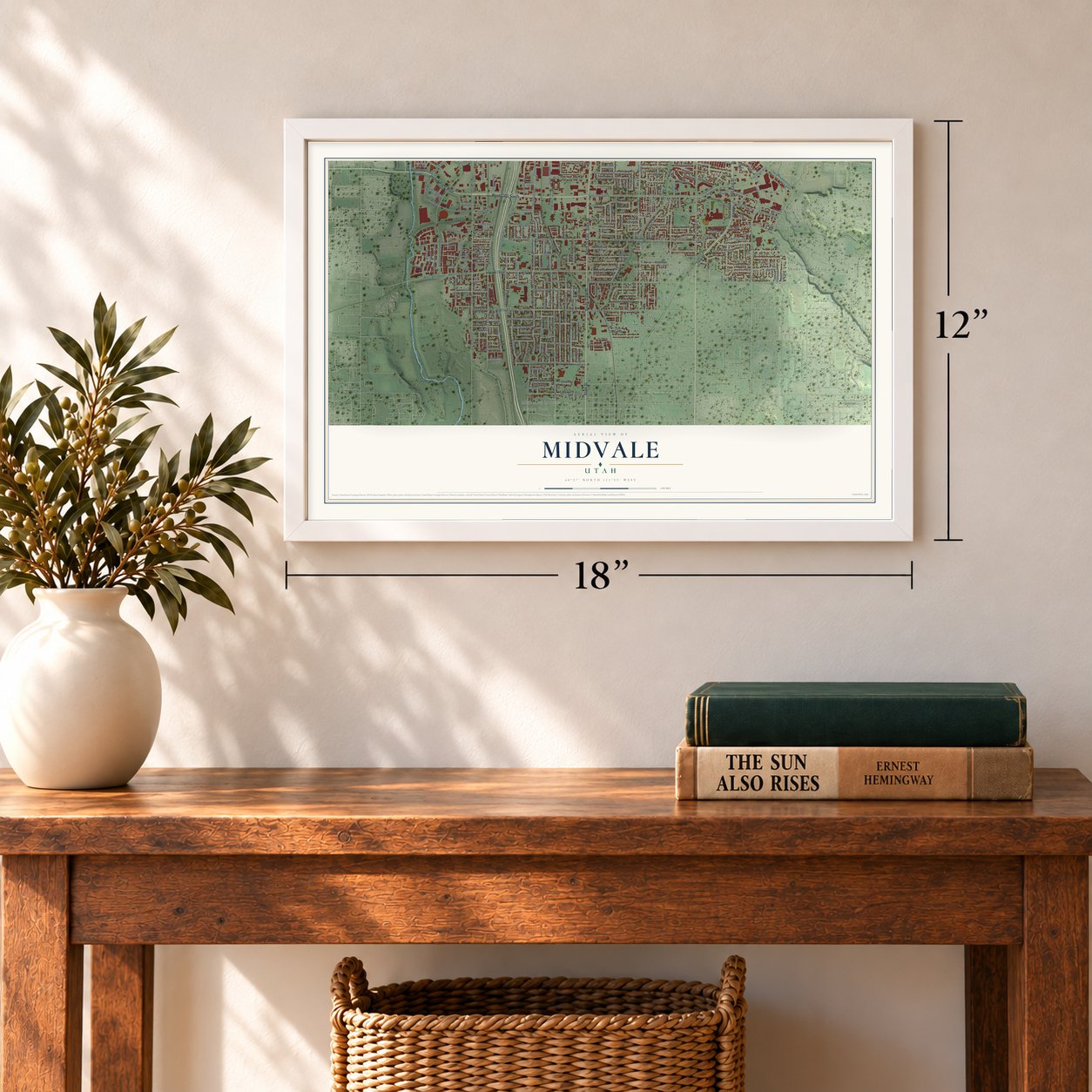
A new map of Midvale, Utah, made in 2026 and printed to order on thick archival matte paper.
12" x 18" Archival Matte Print
A Map of Home. A Work of Art.
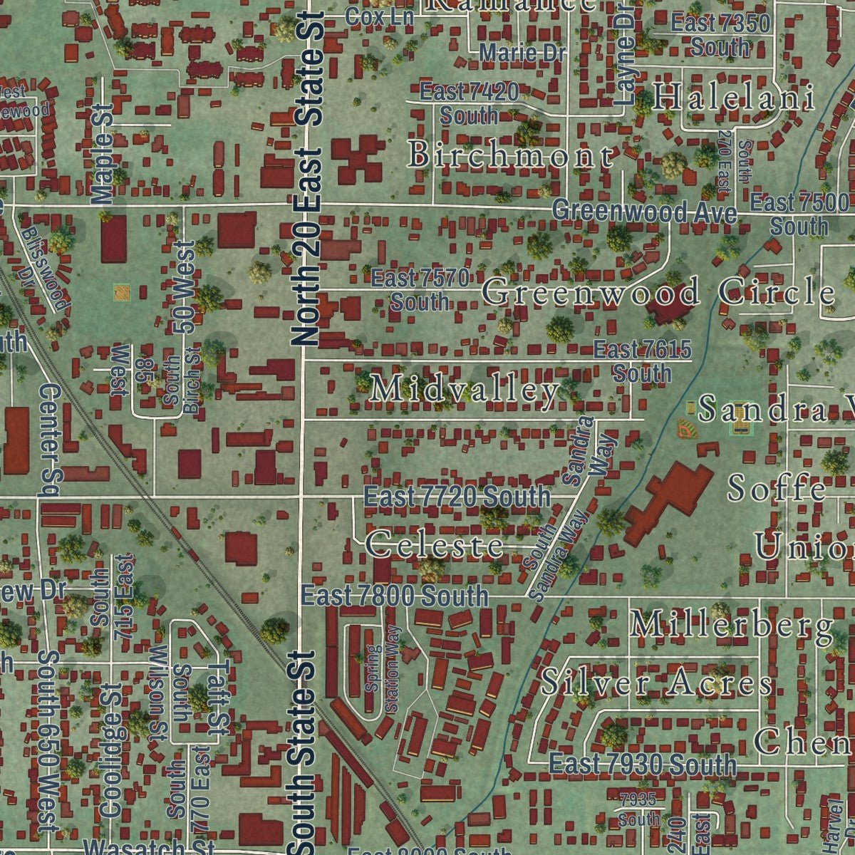
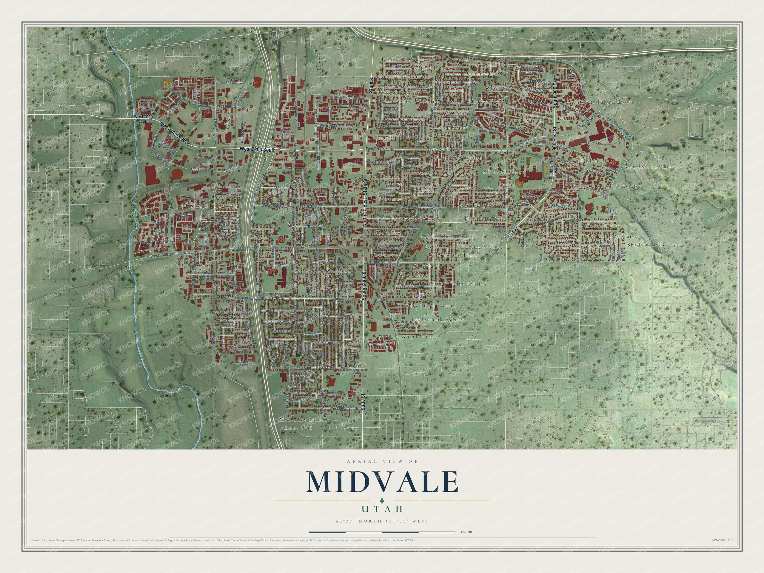
This beautifully detailed map of Midvale, Utah was created in 2026 using aerial imagery combined with modern topographical, census, street and landmark data. It's a modern aerial view of Midvale in Salt Lake County, Utah, that combines modern data with a vintage aesthetic. Zoom in on the preview and look for your block.
Three ways to hang it
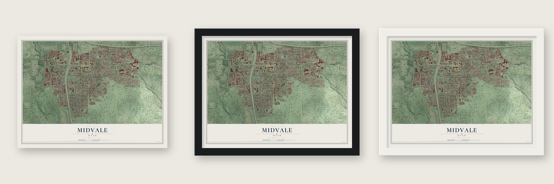
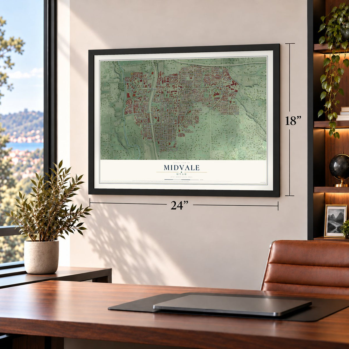
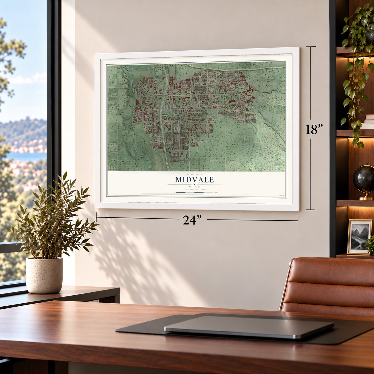
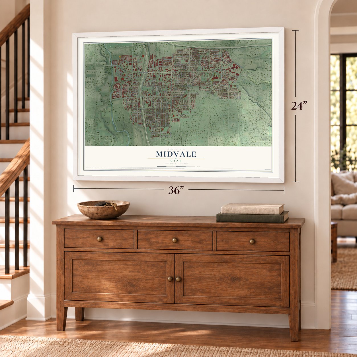
Unframed archival matte, a black wood frame or a white wood frame.
Up close
Real geography. Art worth displaying.
This map was created using accurate cartographic data and authoritative geographic sources, including the U.S. Geological Survey and the Census Bureau. The map brings together terrain, waterways, roads, and building detail. The majority of the streets are labeled, houses are accurately depicted, and the topography is derived from government sources. Combining local data with carefully composed color and shading leads to this beautifully detailed Midvale artwork for your wall.
Rather than simply showing street outlines, we’ve included as many of the street names as we could reasonably fit on the map while keeping their names legible. Zoom in on the high resolution preview to see exactly what’s on the map. We truly set out to create a statement piece for anyone who loves Midvale. So whether it’s for you, or a gift for someone you love, we hope this map of Midvale brings back fond memories.

Find your street
Names on the Midvale map
Every name below is printed on this map. Look for your street, your school, the park where you played, or the pond down the road.
Places and landmarks55
- Midvale City Hall
- Alamo Park
- Angel Street
- Baker
- Bali Hai
- Betty Heights
- Birchmont
- Boggess Meadow Estates
- Bonneville Terrace
- Carmel Cove
- Celeste
- Centennial Estates
Show all 55 places
- Cheny Ridge Estates
- Country Squire Acres
- Coventry at Fairmeadows
- Creekside Estates
- Diamond Acres
- Eaglebrook Estates
- Gardner Gardens
- Golden Acres
- Greenwood Circle
- Halelani
- Halelea
- Hidden Village
- Hillcrest Heights
- Landon Village
- Lois
- Midvale Terrace
- Midvalley
- Midvalley Manors
- Millerberg
- Pepperidge
- Perry
- Pleasure Acres
- Ponderosa Estates
- Prestige Estates
- Ramanee
- Sandra Way
- Selma
- Shadow Hills East
- Silver Acres
- Silver Shadows
- Soffe
- Summerfield
- Sunrise
- Tamlee Village
- Tara Estates
- Terrell
- Twin Peaks
- Union
- Union Plat
- Unionwood Place
- Wanda Kay Estates
- Warranty
- Wilson
Streets and roads289
- West 7200 South
- Jordan River Boulevard
- South State Street
- State Street
- North 20 East
- South 900 East
- 900 East Street
- West Center Street
- East Center Street
- North Catalpa Road
- South Catalpa Road
- West Marquette Drive
- La Salle Drive
- East 7720 South
- 7385 South
- Center Street
- South 250 West
- South 400 West
- Main Street
- South 700 West
- 700 West
- West Wasatch Street
- East 7200 South
- South Holden Street
- Greenwood Avenue
- Pioneer Street
- 310 West
- Wasatch Street
- 8000 South
- South Main Street
Show all 289 streets
- East 260 South
- East 650 South
- East 8375 South
- South 460 East
- South 650 West
- Holden Street
- Wilson Street
- South Oak Street
- 90 West
- South 700 East
- West 7500 South
- West Sixth Avenue
- South 150 West
- Hillcrest High Drive
- East 385 South
- Chad Street
- Fort Union Boulevard
- East 7800 South
- Bingham Junction Boulevard
- South 600 West
- Cottonwood Street
- Roosevelt Street
- 115 East
- South Allen Street
- South Monroe Street
- Coolidge Street
- South 265 West
- Harrison Street
- Grant Street
- West Inglenook Drive
- East 6850 South
- South 150 East
- East 7575 South
- West 8600 South
- Wood Street
- Adams Street
- East 7220 South
- West 7800 South
- North 125 East
- Cornell Drive
- East 135 South
- Ramanee Drive
- Carlson Avenue
- East 7020 South
- Nicoletti Drive
- Enchanted Drive
- South 185 West
- Layne Drive
- Villager Lane
- Coliseum Way
- Alta View Drive
- Hoover Street
- Casa Roja Street
- 8510 South
- East 6815 South
- Euro Drive
- South Summit Peak Drive
- Locust Street
- 7065 South
- Jefferson Street
- Lincoln Street
- East 7930 South
- 7615 South
- Maple Street
- East Ridge Hill Lane
- East 7060 South
- East 6930 South
- East 6925 South
- Bourdeaux Drive
- West 8420 South
- West 6960 South
- Fern Drive
- Olympus Street
- 300 West
- East 6825 South
- Balboa Drive
- Cobblestone Drive
- Ivy Drive
- Fl Smidth Drive
- East 6875 South
- Glover Lane
- 50 West
- East Durham Street
- 8560 South
- Hayes Street
- North Stagg Street
- 7300 South
- Seventh Avenue
- 620 West
- 105 North
- Eighth Avenue
- Gable Street
- Center Square
- First Avenue
- 180 North
- 140 North
- Kittridge Drive
- Lance Street
- West 7065
- Taft Street
- 180 West
- 30 West
- Chapel Street
- Elm Street
- 990 East
- Soho Drive
- South 900 East Street
- West 7000 South
- 700 East
- South 55 West
- North 477 East
- South 745 West
- South 300 East
- East 7100 South
- South 230 East
- Oak Street
- South Wilson Street
- East 7500 South
- East 6980 South
- South 505 East
- 185 West
- South 1000 East
- East 7570 South
- Midvale Middle Acc
- South Union Park Avenue
- East 8000 South
- West Princeton Drive
- South 1300 East
- Larchwood Drive
- East South Union Avenue
- Twin Peaks Street
- Acoma Road
- Halelani Drive
- East 7615 South
- Lennox Street
- San Savino Way
- Union Park Avenue
- Baker Drive
- South 715 East
- West Plumtree Lane
- South 500 East
- North 465 East
- 1050 East
- North Grant Street
- East 6740 South
- East 7350 South
- South Rope Key Drive
- Connie Drive
- South 540 East
- East Fern Drive
- South River Gate Drive
- East 7670 South
- 400 West
- West Ivy Drive
- South 530 West
- South 1130 East
- East 7700 South
- South 100 East
- West River Gate Drive
- South 345 East
- East 7420 South
- West 6825 South
- South 770 East
- 6955 South
- Mellaniel Way
- South 145 East
- South 1200 East
- West Legacy Center Way
- North 120 East
- 380 East
- Cox Lane
- Free Land Avenue
- Junction View Drive
- North 500 East
- 600 West
- Settlement Circle
- North 585 East
- East 7145 South
- West 8360 South
- South 477 East
- Downing Street
- Pine Street
- Spruce Street
- 550 South
- Marla Way
- West Blue Vista Lane
- 1000 East
- Fern Circle
- South 195 West
- Howe Cv
- Marie Drive
- 50 South
- Judy Drive
- Terrell Circle
- 7075 South
- 85 West
- 240 East
- Devin Place
- Kerr Drive
- East 7260 South
- South 605 East
- East North Union Avenue
- South Grant Street
- East 8075 South
- East Resaca Drive
- Columbia Drive
- Perrine Drive
- Harvel Drive
- East 7130 South
- Chapel Hill Drive
- South Birch Street
- South Sandra Way
- Van Buren Street
- North Cypress Street
- South Presidio Drive
- East Creekhill Lane
- South 475 East
- South 260 East
- East Lennox Street
- Founder Point Lane
- East 7440 South
- East 8200 South
- South Chapel Street
- Blisswood Drive
- 8155 South
- West Jordan Walk Way
- East Shelby View Drive
- South 580 East
- Cooper Street
- Orchard Vista Court
- Darin Street
- Union Mill Court
- 7440 South
- South Inglenook Cv
- South 1035 East
- High Tech Drive
- West Applewood
- Park Street
- East Well Spring Road
- Spring Station Way
- South 325 West
- Gardenia Drive
- Casa Negra Circle
- West Village Bend Lane
- South 420 East
- West 7250 South
- West Francesco Way
- West Park Reserve Way
- South 270 East
- South High Tech Drive
- 190 West
- 950 East
- North Allen Street
- Vantana Court
- Le Page Street
- 7955 South
- Rustic Pine Cv
- 480 East
- 7935 South
Names are listed as they appear on the printed map. Zoom into the product photos to find them.
The art of mapping a place
How This Map Was Made
Real places. Remarkable detail. Discover the layers that turn geographic data into a map of home.

The view from above
Aerial imagery reveals the character of the land: woodland, open fields, and the patterns of a place.

The shape of the land
Elevation data brings hills, valleys, and subtle changes in the landscape into view.

The details of home
Roads, waterways, and building footprints come together to make the map feel unmistakably local.

Geography becomes art
Considered color, shading, and typography bring the layers together in a map made for your wall.


Process illustrated with Mendon, Massachusetts. Aerial imagery: USDA NAIP. Terrain: USGS 3D Elevation Program. Map details and finished artwork: KNOWOL.
The Details
About This Print
Choose an archival matte print, or a black or white Ayous wood frame. The archival matte print is unframed.
Select your size and finish above to see the matching product image and price.
Materials & Craftsmanship
A contemporary map with the character of a classic atlas, printed on archival matte paper. Optional frames are made from Ayous wood.
Your printed map does not include the watermark shown in the full-map preview.
Shipping & Delivery
Free shipping within the United States. Every print is made to order in the USA.
Buying a gift? Add a note in your cart and we'll include it. We never put prices in the package.
Prints ship within 2 to 3 business days. Allow 7 to 10 days total from ordering for delivery. Timing may vary during holidays or periods of high order volume.
Read our shipping policy.
Returns and damaged prints
Each print is made to order. Change-of-mind refunds are not available after production.
If your print arrives damaged, misprinted or incorrect, contact support@knowol.com within 30 days of receiving it. Include your order number, photos and a description of the issue.
Read our full refund and replacement policy. For questions about your order, email support@knowol.com.
Find your town
Looking for another city?
Find a map of home in our Utah collection.
Nearby
Maps of towns near Midvale
Know someone from one of these towns? Their map makes a great gift.
 Murray
, Utah
From $39.99See the map
 White City
, Utah
From $39.99See the map
 Sandy
Sandy, Utah
From $39.99See the map
More maps nearby: Cottonwood Heights, Taylorsville, Holladay, West Jordan and Granite.