
Search for another town
Free U.S. delivery 7 to 10 days after you order
Monroeville, Pennsylvania Map Art
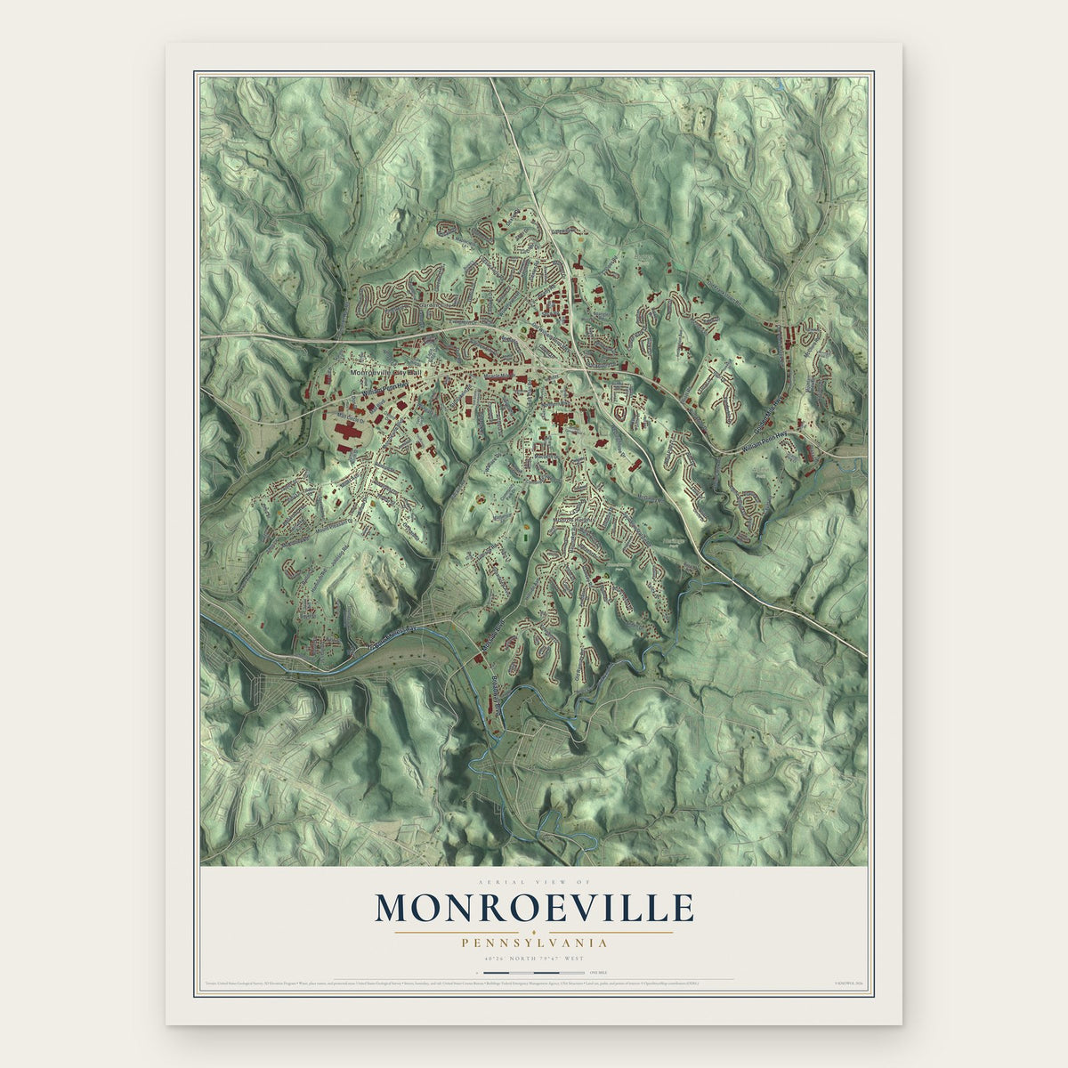
Building by building, with labeled streets and shaded relief.
12" x 18" Archival Matte Print
A Map of Home. A Work of Art.
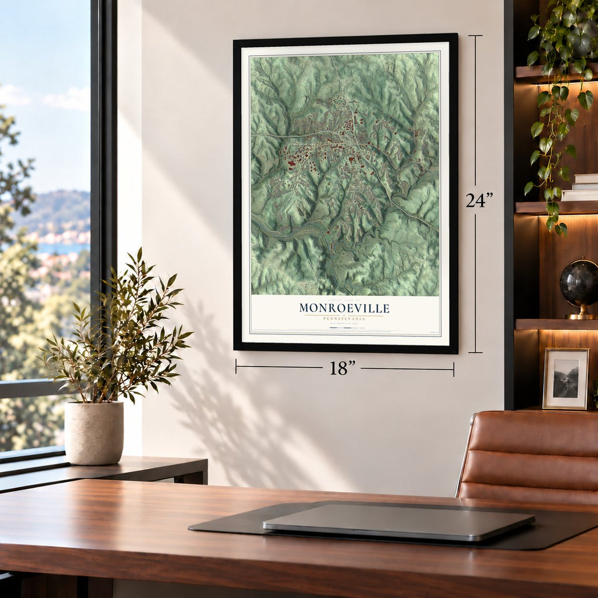
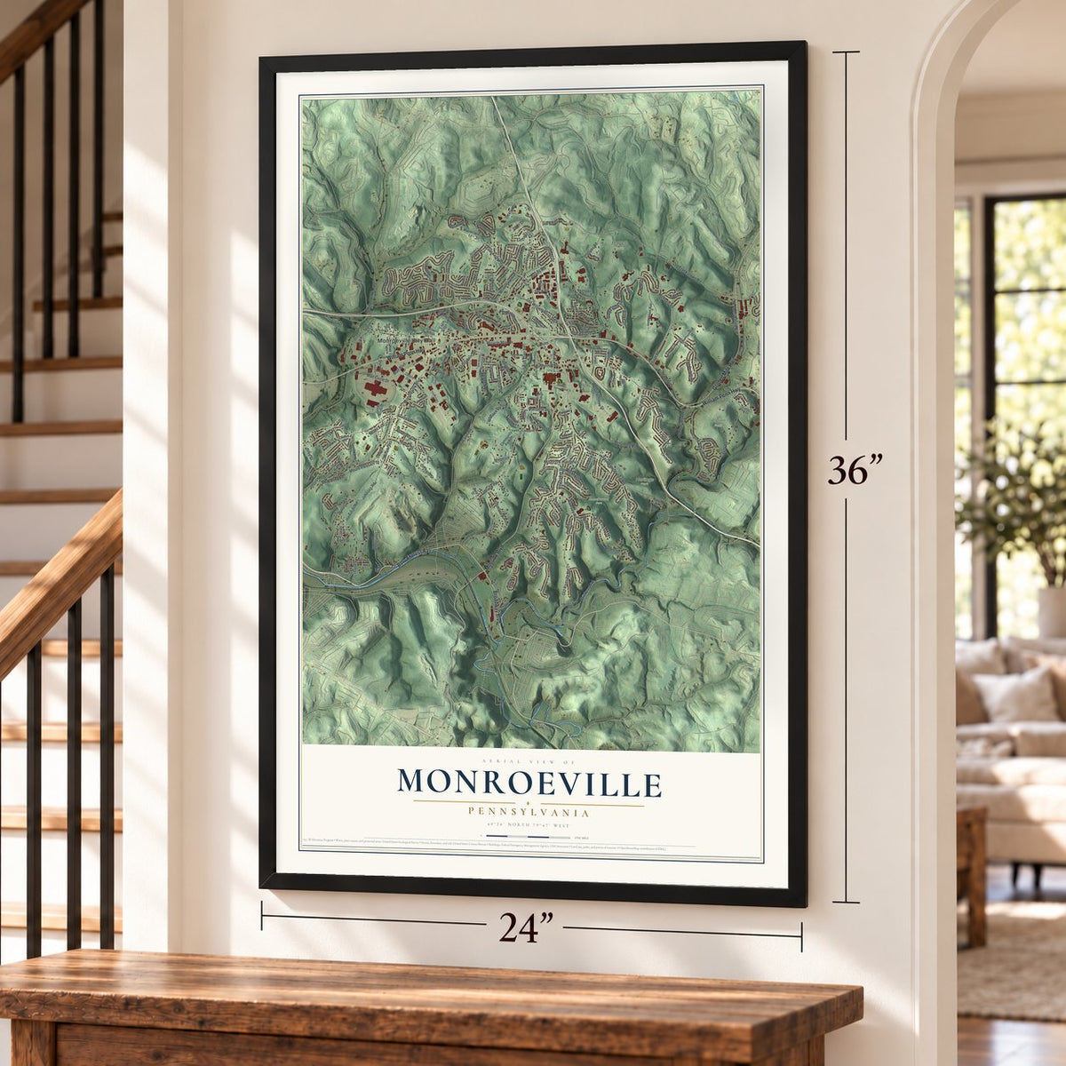
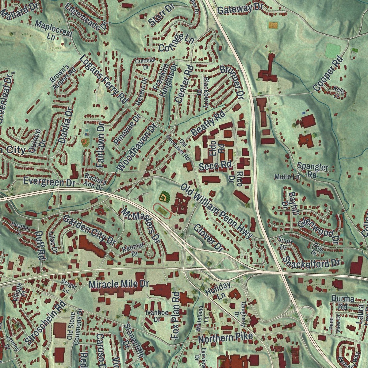
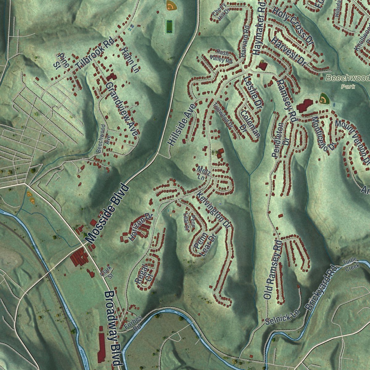
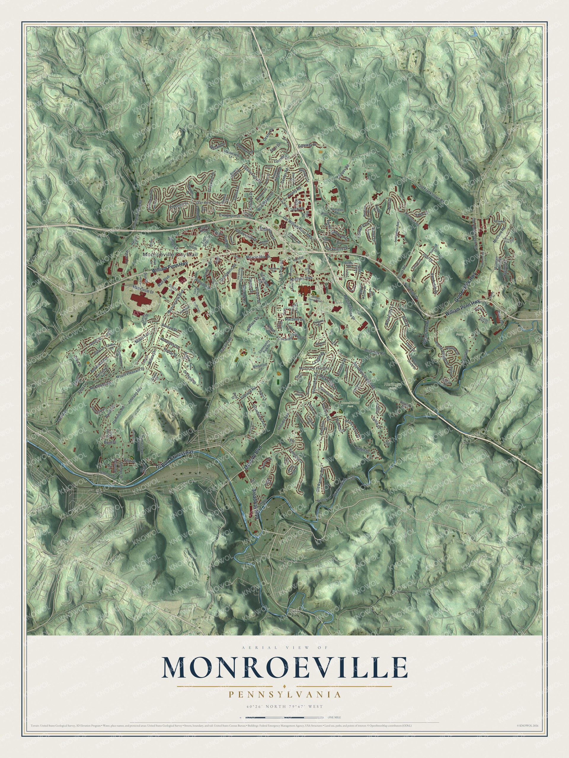
Explore Monroeville municipality, Pennsylvania from a whole new perspective. Created using aerial imagery and detailed geographic data, this map captures Monroeville municipality building by building, with labeled streets, familiar landmarks, and shaded topographical relief that highlights the natural contours of the landscape.
Combining modern data with the timeless character of a vintage atlas, this map is just as interesting up close as it is beautiful on the wall. Whether you grew up in Monroeville municipality, spent memorable years there, or call it home today, this unique map is a great way to celebrate a place that means something to you. Zoom in on the preview to look for your street, and then order a print to put your memories on the wall.
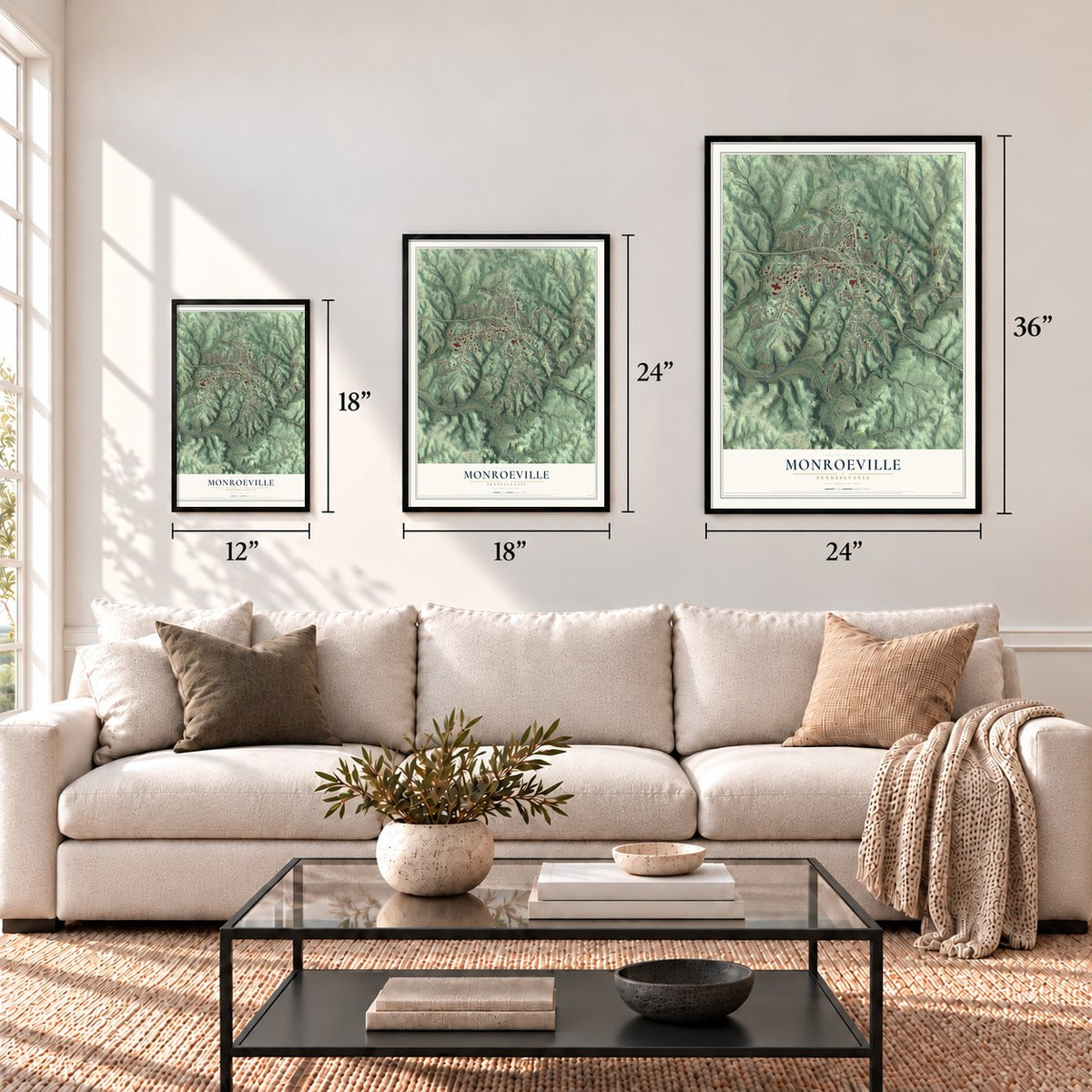
Three ways to hang it
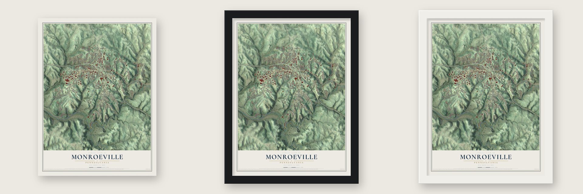
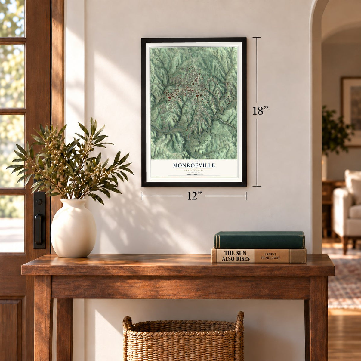
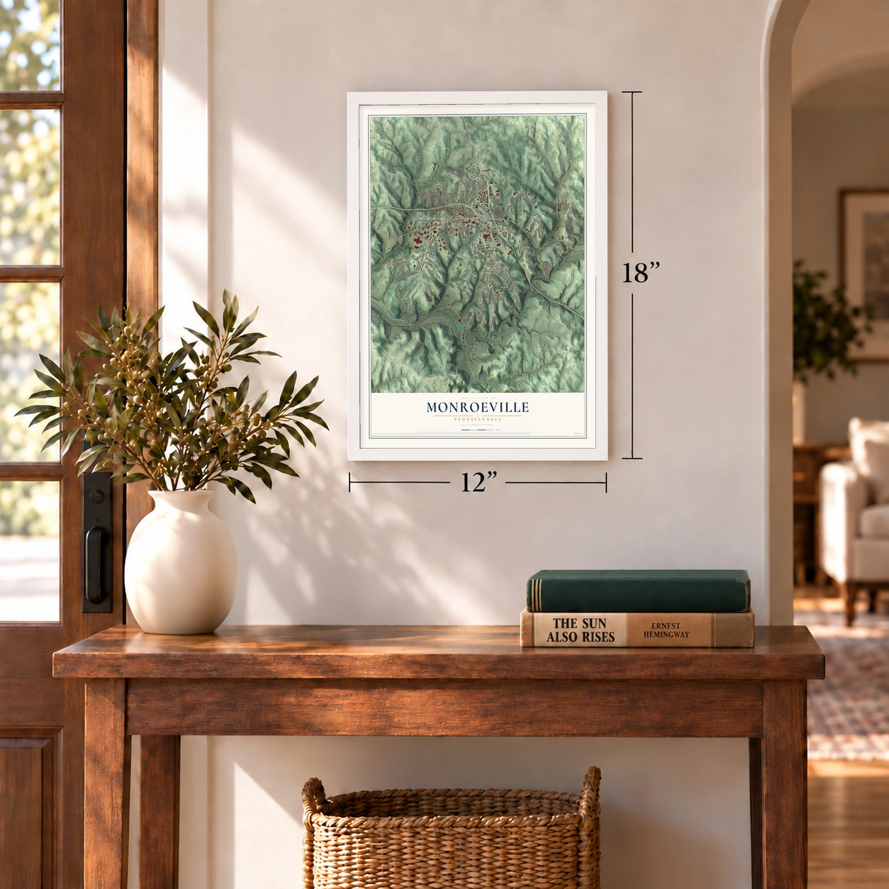
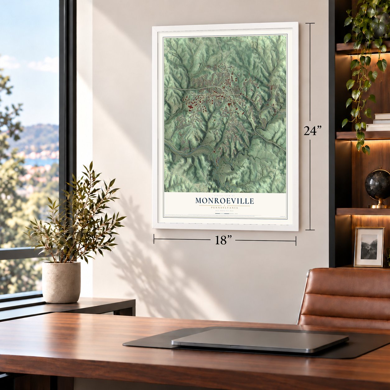
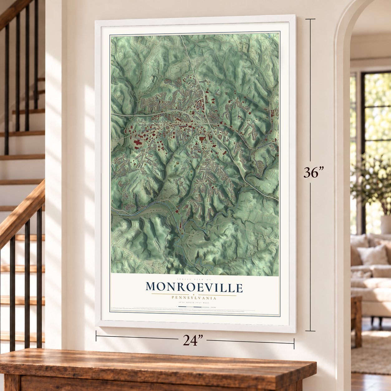
Unframed archival matte, a black wood frame or a white wood frame.
Up close
Geography Worth Displaying
This map was created using accurate cartographic data and authoritative geographic sources, including the U.S. Geological Survey and the Census Bureau. The map brings together terrain, waterways, roads, and building detail. The majority of the streets are labeled, houses are accurately depicted, and the topography is derived from government sources. Combining local data with carefully composed color and shading leads to this beautifully detailed Monroeville artwork for your wall.
Rather than simply showing street outlines, we’ve included as many of the street names as we could reasonably fit on the map while keeping their names legible. Zoom in on the high resolution preview to see exactly what’s on the map. We truly set out to create a statement piece for anyone who loves Monroeville. So whether it’s for you, or a gift for someone you love, we hope this map of Monroeville brings back fond memories.
Read the story behind this map of Monroeville municipality, Pennsylvania from 2026.

Find your street
Names on the Monroeville map
Every name below is printed on this map. Look for your street, your school, the park where you played, or the pond down the road.
Places and landmarks7
- Monroeville City Hall
- Alpine Park
- Beechwood Park
- Boyce Park
- Heritage Park
- Garden City
- Monroe Heights
Streets and roads233
- Tri Boro Expressway
- Broadway Boulevard
- William Penn Highway
- Mosside Boulevard
- Golden Mile Highway
- Thompson Run Road
- Lynn Avenue
- Northern Pike
- Old Frankstown Road
- Haymaker Road
- Old William Penn Highway
- Garden City Drive
- Monroeville Boulevard
- Center Road
- Beatty Road
- Tilbrook Road
- Cavitt Road
- Saunders Station Road
- Abers Creek Road
- Pitcairn Road
- Patton Street
- James Street
- Mall Circle Drive
- Rosecrest Drive
- Thomas Street
- McClure Road
- Johnson Road
- Old Ramsey Road
- Stroschein Road
- College Park Drive
Show all 233 streets
- McGinley Road
- Logans Ferry Road
- Alpine Village Drive
- Evergreen Drive
- Illini Drive
- Westinghouse Drive
- Grandview Avenue
- Ramsey Road
- Urick Lane
- Brickyard Road
- Mount Pleasant Drive
- Arden Drive
- Greenleaf Drive
- Lolly Drive
- Bert Drive
- Brookside Drive
- Wallace Drive
- Cooper Road
- Noel Drive
- Elliott Road
- Mall Boulevard
- Glenwood Drive
- Willow Drive
- Hillside Avenue
- Don Drive
- Orchard Street
- Plaza Drive
- Laurel Drive
- Cottage Lane
- Harvest Drive
- Woodhaven Drive
- Hamilton Road
- Old Abers Creek Road
- Macbeth Drive
- Bellwood Avenue
- Mallard Drive
- McKinney Road
- Poplar Street
- Wyngate Drive
- McMasters Drive
- Ohio Street
- Miracle Mile Drive
- Vanderbilt Drive
- Holy Cross Drive
- Seco Road
- Pace Drive
- West Patty Lane
- Shackelford Drive
- Gateway Drive
- Fox Plan Road
- Dahlia Drive
- La Salle Drive
- Victoria Drive
- Fifth Street
- Starr Drive
- Brunner Drive
- Red Oak Court
- Leslie Drive
- Burke Drive
- Vensel Lane
- Duff Road
- Caruso Drive
- Pagoda Drive
- Pinefrost Drive
- Brinton Street
- Eden Drive
- Miller Avenue
- Boyd Street
- Fairlawn Drive
- Dexter Drive
- Foxboro Drive
- Clover Drive
- Judy Lane
- Routh Street
- Hochberg Road
- King Lear Drive
- Innovation Avenue
- Thomas Street Extended
- Cottonwood Drive
- Mountain View Drive
- Kelvington Drive
- Monticello Drive
- Eagle Ridge Drive
- Jamison Lane
- Edgemeade Drive
- Stonecliffe Drive
- Penn Lear Drive
- Fieldstone Drive
- Eagles Nest Lane
- Pinevue Drive
- Cambridge Square Drive
- Regal Court
- Speelman Lane
- Colgate Drive
- Coleman Drive
- Kentucky Avenue
- Community Park Drive
- Selnick Lane
- Jefferson Street
- Mount Vernon Drive
- Franklin Heights Drive
- Lincoln Avenue
- Oxford Drive
- Holt Lane
- Altaview Drive
- Pendleton Drive
- Spartan Drive
- Tartan Drive
- Maplecrest Lane
- Horizon Drive
- Fox Hill Drive
- Point Circle Drive
- Bayhill Drive
- James North Street
- Hahn Lane
- Oak Pointe Drive
- Madjerich Lane
- Laura Lee Drive
- Andora Drive
- Smith Lane
- Gregory Drive
- Burma Road
- Spangler Road
- Lavale Drive
- Quarry Road
- Pinoak Drive
- Drexel Drive
- Harper Lane
- Eldo Road
- Holiday Lane
- Griffin Road
- Belaire Drive
- Oliver Drive
- Quince Drive
- Daniel Lane
- Tyrolia Drive
- Pine Street
- Rico Drive
- Harvard Road
- Foxwood Drive
- Shady Ridge Drive
- Old Stone Commons Drive
- Knollwood Drive
- Tech One Drive
- Fitzsimmons Lane
- Forbes Road
- Kenmar Drive
- Ivanhoe Drive
- Verlinden Drive
- Lilac Drive
- Brown's Airport Road
- Scarlet View Court
- Hawkeye Drive
- Scott Drive
- Asbury Court
- Dolomite Drive
- Spring Run Drive
- Blackberry Drive
- Revere Drive
- Trefoil Court
- Bucknell Drive
- Barbara Ann Drive
- Muiro Lane
- Holly Drive
- Village Place
- Queen Drive
- Keibler Lane
- Urick Court
- Metz Lane
- Gateway Campus Boulevard
- Old Haymaker Road
- Hillsdale Drive
- Colonial Drive
- Technology Drive
- Shumaker Drive
- Beechwood Avenue
- Berkeley Way
- Maple Drive
- Hamlet Court
- Reservoir Road
- Heartwood Drive
- Donley Drive
- Trotwood Drive
- Mark Drive
- Heather Drive
- Whitehead Lane
- Daugherty Drive
- Third Street
- Penn View Drive
- Mountain View Court
- Rush Valley Road
- Fairview Drive
- Kelly Court
- Rowley Road
- Penn Lear Court
- Jeremy Drive
- Apple Street
- Cherry Hill Drive
- Berger Lane
- Volpe Drive
- Roth Drive
- Turtle Creek
- Clark Street
Names are listed as they appear on the printed map. Zoom into the product photos to find them.
About Monroeville municipality, Pennsylvania
Monroeville municipality is an Allegheny County community with 28,640 residents counted in 2020.
- 2020 PopulationThe Census Bureau recorded 28,640 people in Monroeville municipality in 2020.
- County SettingMonroeville municipality is located within Allegheny County, Pennsylvania.
- Local ParksAlpine Park, Beechwood Park, Boyce Park, and Heritage Park are among the community's named green spaces.
- Major RoadsBroadway Boulevard, Mosside Boulevard, Golden Mile Highway, and William Penn Highway serve the area.
Keep exploring Pennsylvania
Monroeville is one of 3,725 Pennsylvania towns we've mapped. Every dot on the map is a print of its own.
The search covers every state, Pennsylvania first.
Near Monroeville
Order 2 or more town maps and save 10%. Shown in the size and finish you picked above, so they hang as a set.
- Pitcairn 12" x 18" / Archival Matte Print $39.99
- Wall 12" x 18" / Archival Matte Print $39.99
- Trafford 12" x 18" / Archival Matte Print $39.99
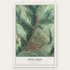
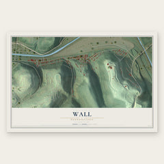
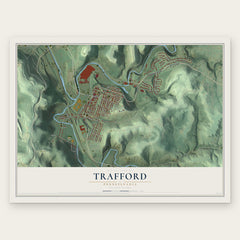
More maps nearby: Wilkins, Level Green, Wilmerding, Turtle Creek and East McKeesport.
The art of mapping a place
How This Map Was Made
Real places. Remarkable detail. Discover the layers that turn geographic data into a map of home.

The view from above
Aerial imagery reveals the character of the land: woodland, open fields, and the patterns of a place.

The shape of the land
Elevation data brings hills, valleys, and subtle changes in the landscape into view.

The details of home
Roads, waterways, and building footprints come together to make the map feel unmistakably local.

Geography becomes art
Considered color, shading, and typography bring the layers together in a map made for your wall.


Process illustrated with Mendon, Massachusetts. Aerial imagery: USDA NAIP. Terrain: USGS 3D Elevation Program. Map details and finished artwork: KNOWOL.
The Details
About This Print
Choose an archival matte print, or a black or white Ayous wood frame. The archival matte print is unframed.
Select your size and finish above to see the matching product image and price.
Materials & Craftsmanship
A contemporary map with the character of a classic atlas, printed on archival matte paper. Optional frames are made from Ayous wood.
Your printed map does not include the watermark shown in the full-map preview.
Shipping & Delivery
Free shipping within the United States. Every print is made to order in the USA.
Buying a gift? Add a note in your cart and we'll include it. We never put prices in the package.
Prints ship within 2 to 3 business days. Allow 7 to 10 days total from ordering for delivery. Timing may vary during holidays or periods of high order volume.
Read our shipping policy.
Returns and damaged prints
Each print is made to order. Change-of-mind refunds are not available after production.
If your print arrives damaged, misprinted or incorrect, contact support@knowol.com within 30 days of receiving it. Include your order number, photos and a description of the issue.
Read our full refund and replacement policy. For questions about your order, email support@knowol.com.