
Search for another town




Free U.S. delivery 7 to 10 days after you order
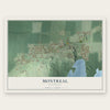
Montreal, Wisconsin Map Art
Building by building, with labeled streets and shaded relief.
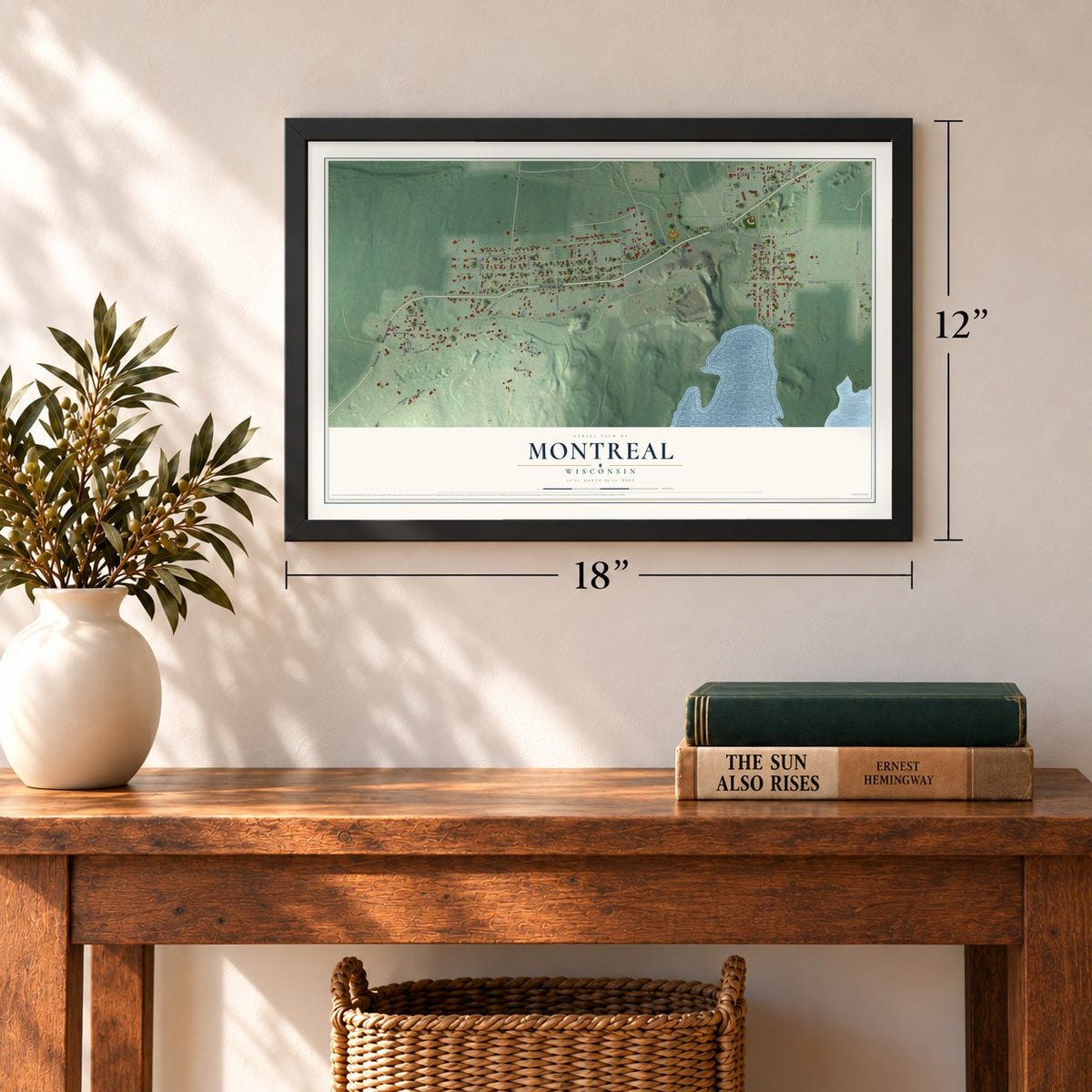
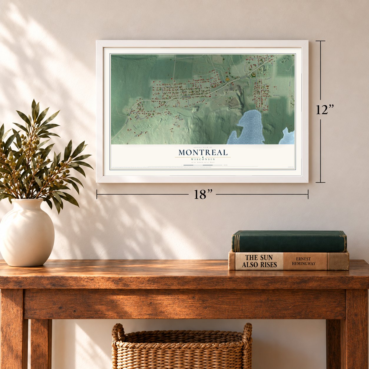
12" x 18" Archival Matte Print
A Map of Home. A Work of Art.
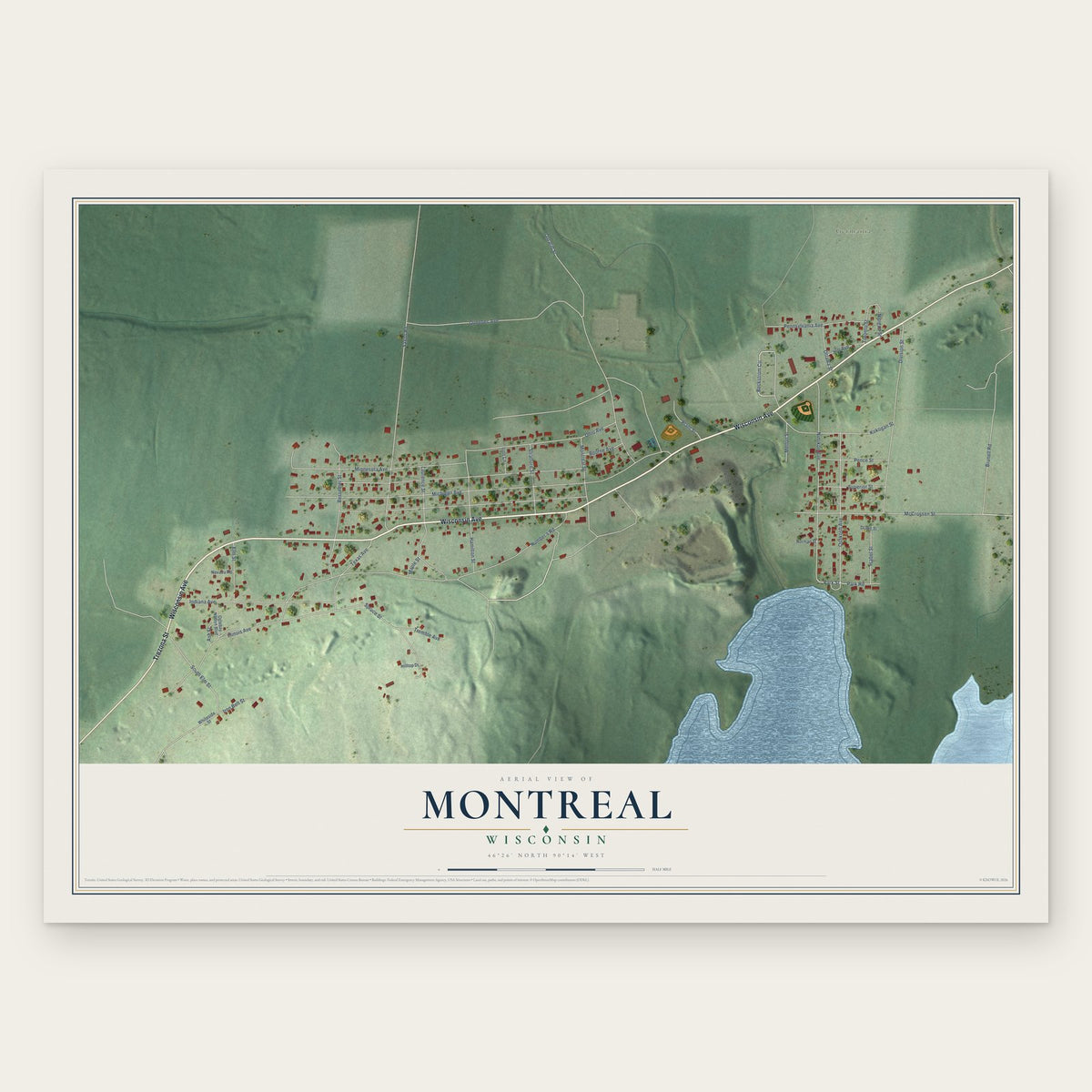
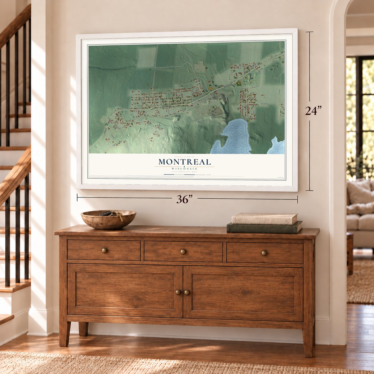
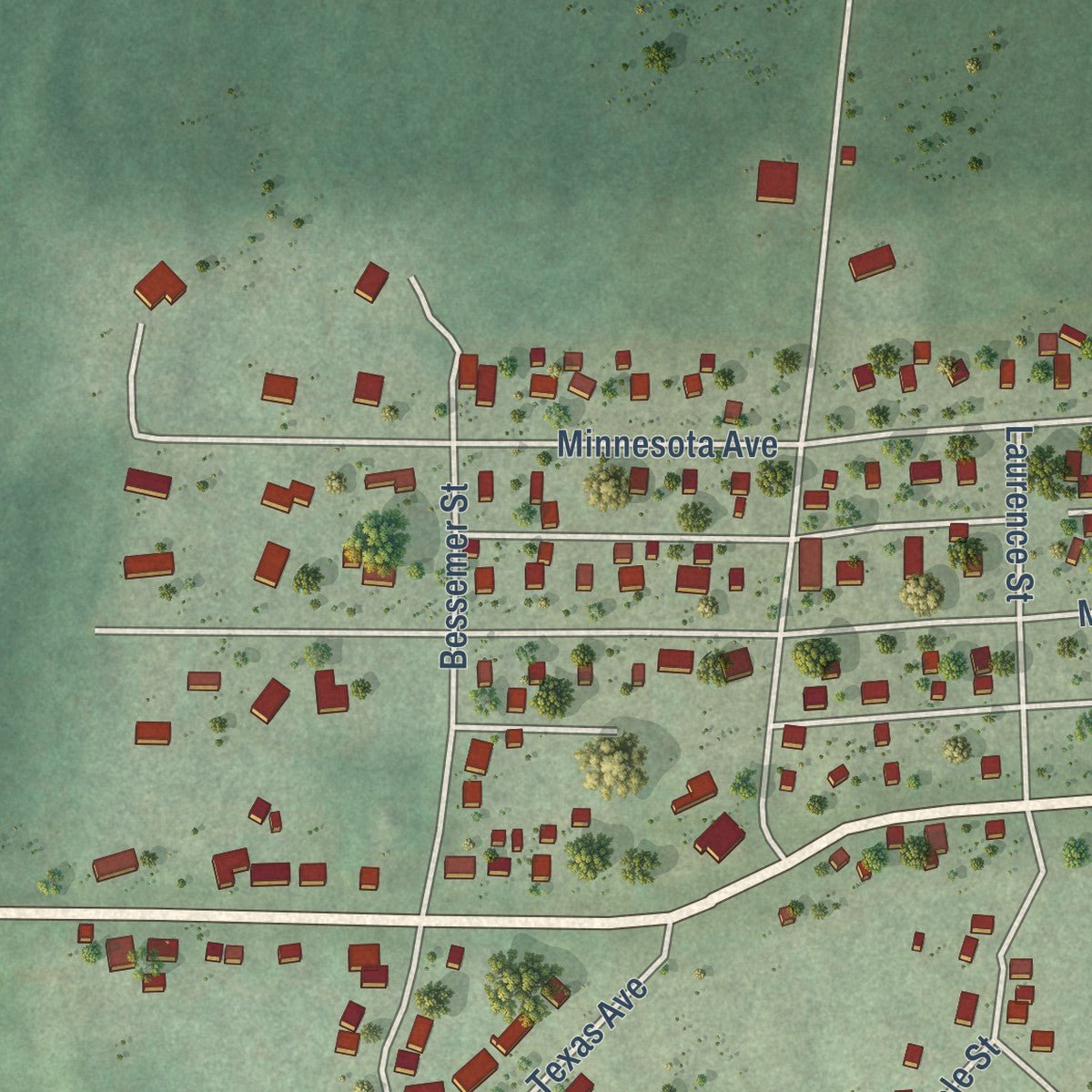
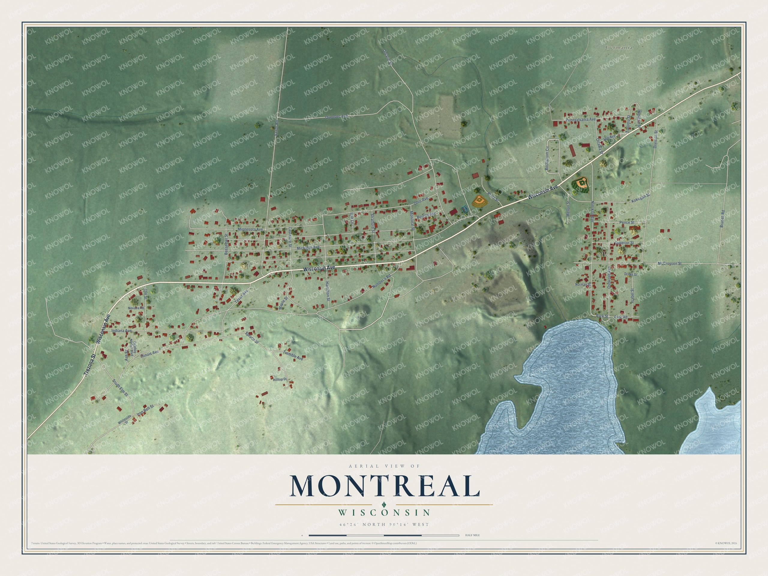
Explore Montreal, Wisconsin from a whole new perspective. Created using aerial imagery and detailed geographic data, this map captures Montreal building by building, with labeled streets, familiar landmarks, and shaded topographical relief that highlights the natural contours of the landscape.
Combining modern data with the timeless character of a vintage atlas, this map is just as interesting up close as it is beautiful on the wall. Whether you grew up in Montreal, spent memorable years there, or call it home today, this unique map is a great way to celebrate a place that means something to you. Zoom in on the preview to look for your street, and then order a print to put your memories on the wall.
Three ways to hang it
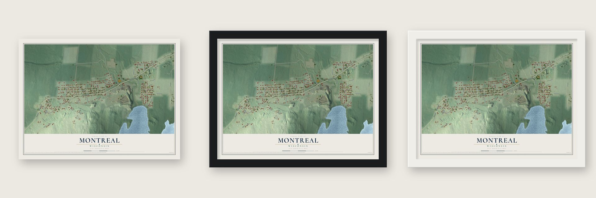
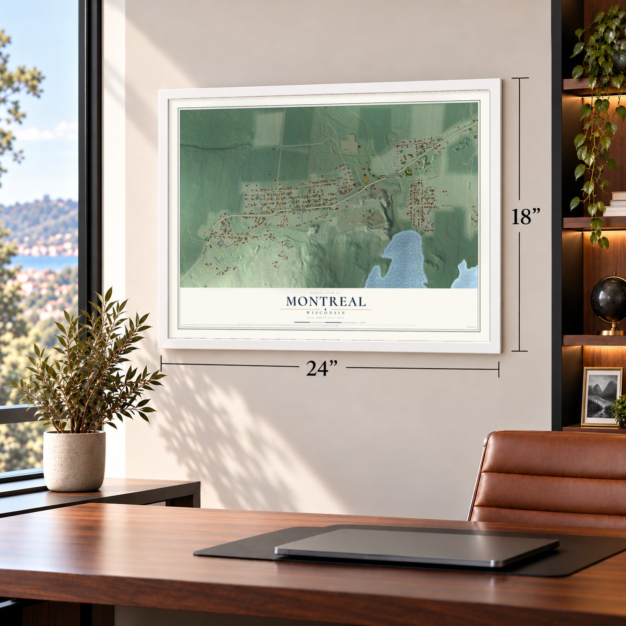
Unframed archival matte, a black wood frame or a white wood frame.
Up close
Geography Worth Displaying
This map was created using accurate cartographic data and authoritative geographic sources, including the U.S. Geological Survey and the Census Bureau. The map brings together terrain, waterways, roads, and building detail. The majority of the streets are labeled, houses are accurately depicted, and the topography is derived from government sources. Combining local data with carefully composed color and shading leads to this beautifully detailed Montreal artwork for your wall.
Rather than simply showing street outlines, we’ve included as many of the street names as we could reasonably fit on the map while keeping their names legible. Zoom in on the high resolution preview to see exactly what’s on the map. We truly set out to create a statement piece for anyone who loves Montreal. So whether it’s for you, or a gift for someone you love, we hope this map of Montreal brings back fond memories.
Read the story behind this map of Montreal, Wisconsin from 2026.
Find your street
Names on the Montreal map
Every name below is printed on this map. Look for your street, your school, the park where you played, or the pond down the road.
Places and landmarks2
- Germania
- Gile
Streets and roads51
- Wisconsin Avenue
- Trezona Street
- Beckstrom Circle
- Park Street
- Michigan Avenue
- Ontario Street
- Number 4 Road
- Illinois Avenue
- Saxon Road
- Nimikon Avenue
- Minnesota Avenue
- Division Street
- McCrossen Street
- Bessemer Street
- Queebec Avenue
- Indiana Avenue
- Ohio Avenue
- Oshkosh Avenue
- Texas Avenue
- Laurence Street
- Kokogan Street
- Hamilton Street
- Montreal Street
- Brunell Road
- Spruce Street
- Pennsylvania Avenue
- South Elm Street
- Stratford Street
- Pence Street
- Superior Street
Show all 51 streets
- Elm Street
- Isabel Street
- Plant Street
- Tremble Avenue
- Ottawa Street
- Toronto Street
- Iron Belt Street
- Bourne Avenue
- Park Road
- Mellon Street
- Nipigon Street
- Hill Avenue
- Ash Street
- Iron Lane
- Maple Street
- Oglebay Norton Boulevard
- Whiteside Street
- Nevada Road
- Norman Street
- Hilltop Drive
- Drake Street
Names are listed as they appear on the printed map. Zoom into the product photos to find them.
About Montreal, Wisconsin
Montreal is an Iron County city shaped by iron mining and company housing. First incorporated around 1917 as the Village of Hamilton, it became the city of Montreal on April 1, 1924, taking its name from the Montreal Mining Company. The 2020 census recorded 801 residents.
- Company HousingBeginning in 1918, the mining company rented prefabricated homes to miners, and several survive within the Montreal Company Location Historic District.
- National RecognitionThe Montreal Company Location Historic District joined the National Register of Historic Places in 1980 as a national example of industrial community planning.
- Deepest Iron MineWhen it closed in 1962, an area mine operated by Oglebay Norton Corporation reached 4,335 feet vertically and was then the world's deepest iron mine.
- Two NeighborhoodsGile, once a sawmill village, and Germania, formerly a railroad depot community, are now neighborhoods within Montreal.
Keep exploring Wisconsin
Montreal is one of 2,021 Wisconsin towns we've mapped. Every dot on the map is a print of its own.
The search covers every state, Wisconsin first.
Near Montreal
Order 2 or more town maps and save 10%. Shown in the size and finish you picked above, so they hang as a set.
- Hurley 12" x 18" / Archival Matte Print $39.99
- Kimball 12" x 18" / Archival Matte Print $39.99
- Iron Belt 12" x 18" / Archival Matte Print $39.99


The art of mapping a place
How This Map Was Made
Real places. Remarkable detail. Discover the layers that turn geographic data into a map of home.

The view from above
Aerial imagery reveals the character of the land: woodland, open fields, and the patterns of a place.

The shape of the land
Elevation data brings hills, valleys, and subtle changes in the landscape into view.

The details of home
Roads, waterways, and building footprints come together to make the map feel unmistakably local.

Geography becomes art
Considered color, shading, and typography bring the layers together in a map made for your wall.


Process illustrated with Mendon, Massachusetts. Aerial imagery: USDA NAIP. Terrain: USGS 3D Elevation Program. Map details and finished artwork: KNOWOL.
The Details
About This Print
Choose an archival matte print, or a black or white Ayous wood frame. The archival matte print is unframed.
Select your size and finish above to see the matching product image and price.
Materials & Craftsmanship
A contemporary map with the character of a classic atlas, printed on archival matte paper. Optional frames are made from Ayous wood.
Your printed map does not include the watermark shown in the full-map preview.
Shipping & Delivery
Free shipping within the United States. Every print is made to order in the USA.
Buying a gift? Add a note in your cart and we'll include it. We never put prices in the package.
Prints ship within 2 to 3 business days. Allow 7 to 10 days total from ordering for delivery. Timing may vary during holidays or periods of high order volume.
Read our shipping policy.
Returns and damaged prints
Each print is made to order. Change-of-mind refunds are not available after production.
If your print arrives damaged, misprinted or incorrect, contact support@knowol.com within 30 days of receiving it. Include your order number, photos and a description of the issue.
Read our full refund and replacement policy. For questions about your order, email support@knowol.com.