
Search for another town
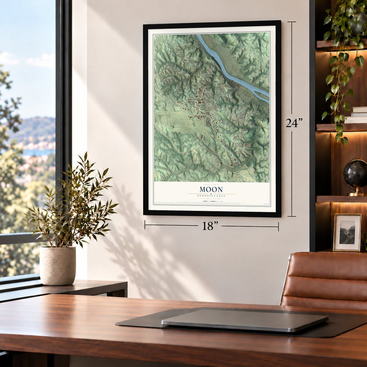
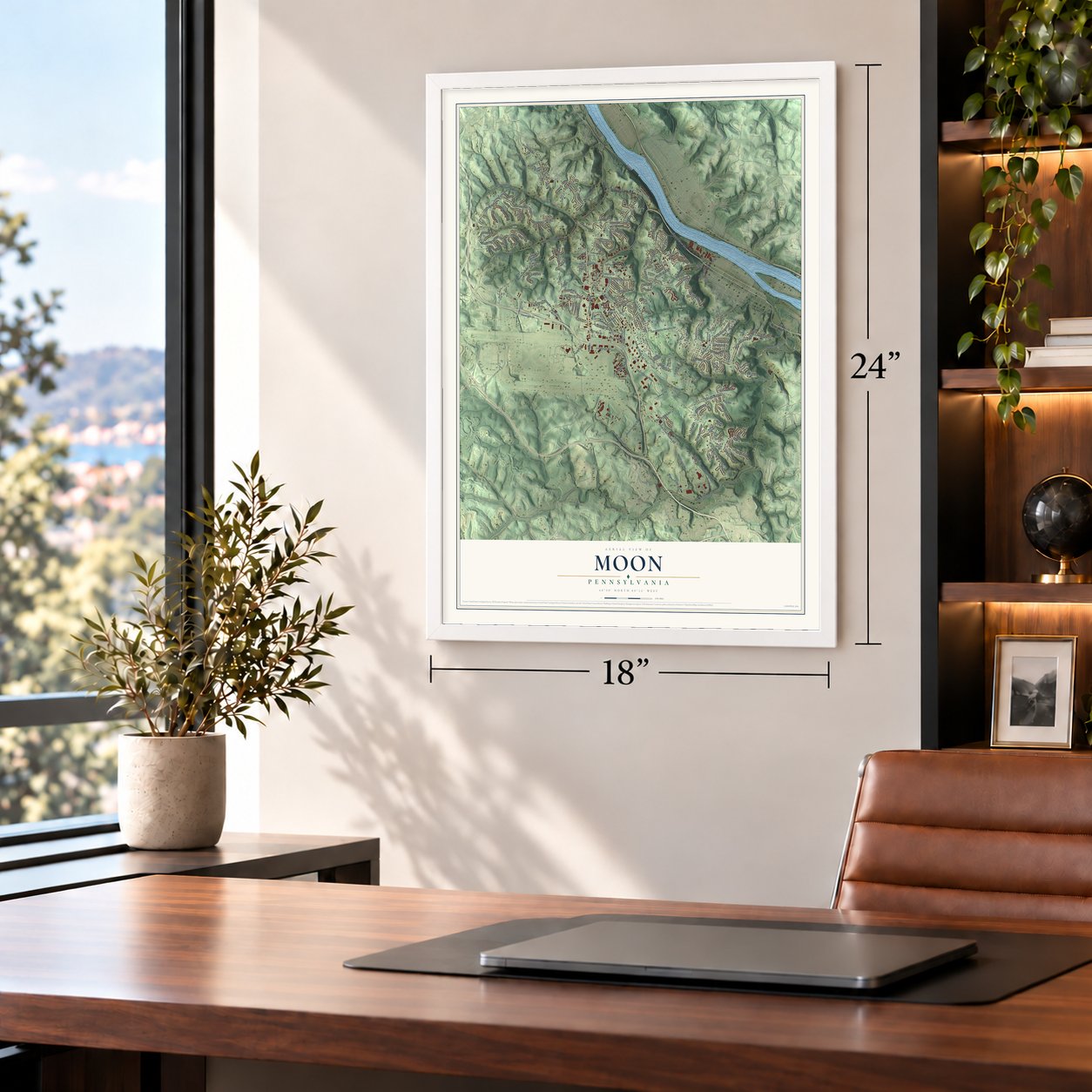
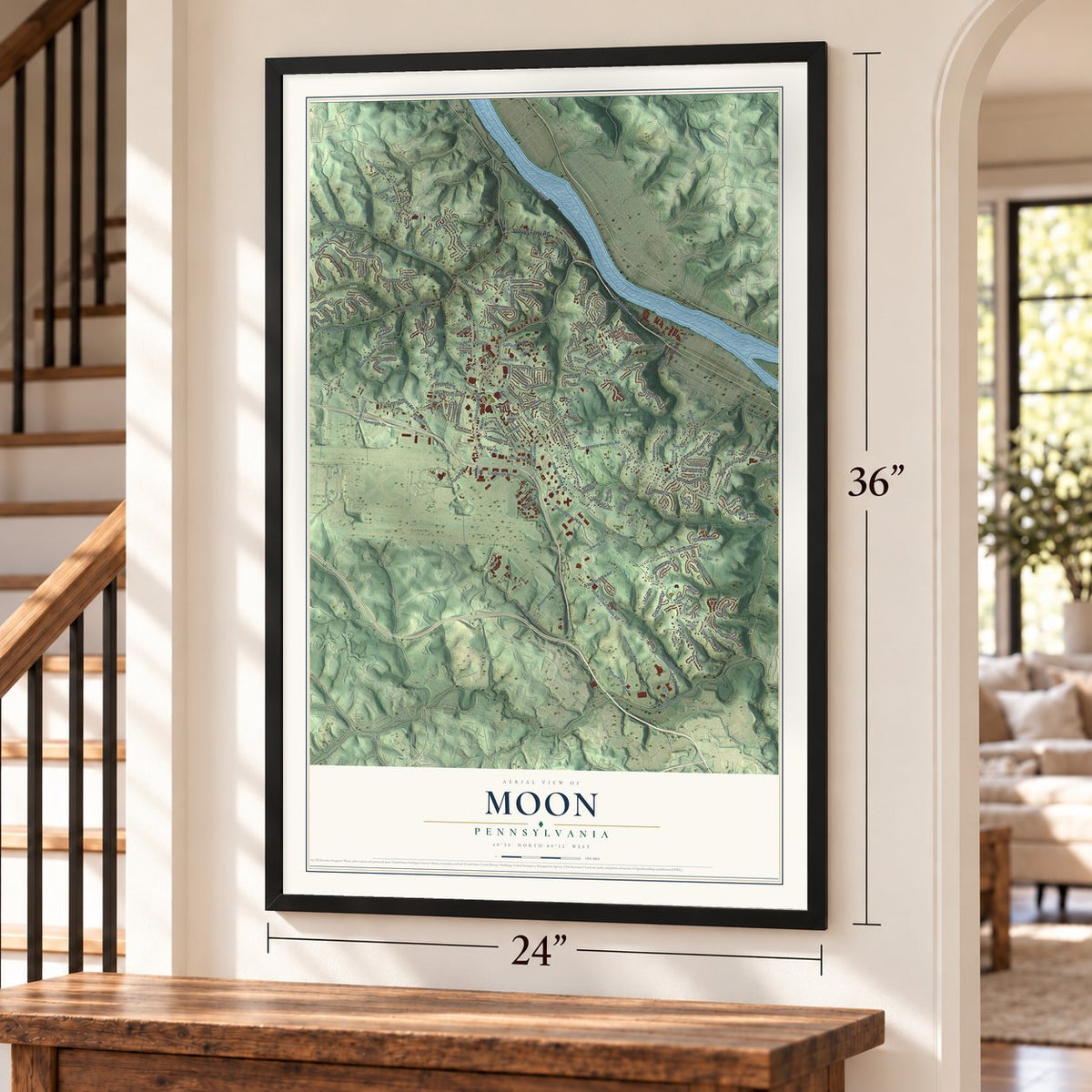
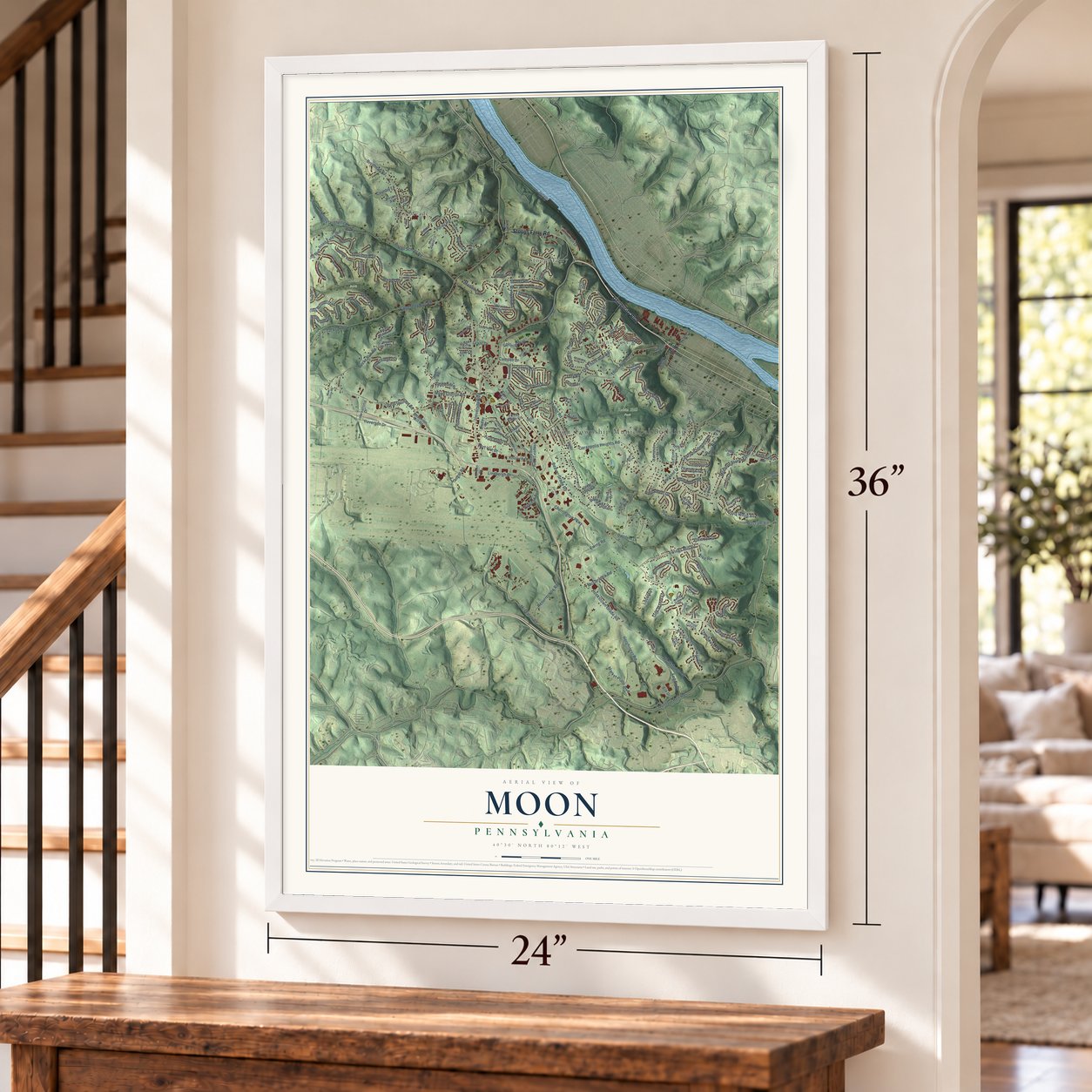
Free U.S. delivery 7 to 10 days after you order
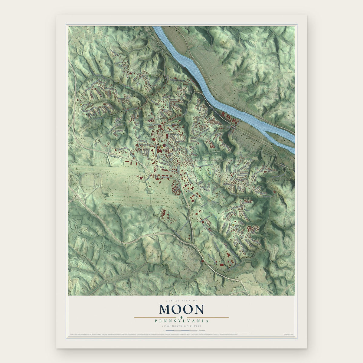
Moon, Pennsylvania Map Art
Building by building, with labeled streets and shaded relief.
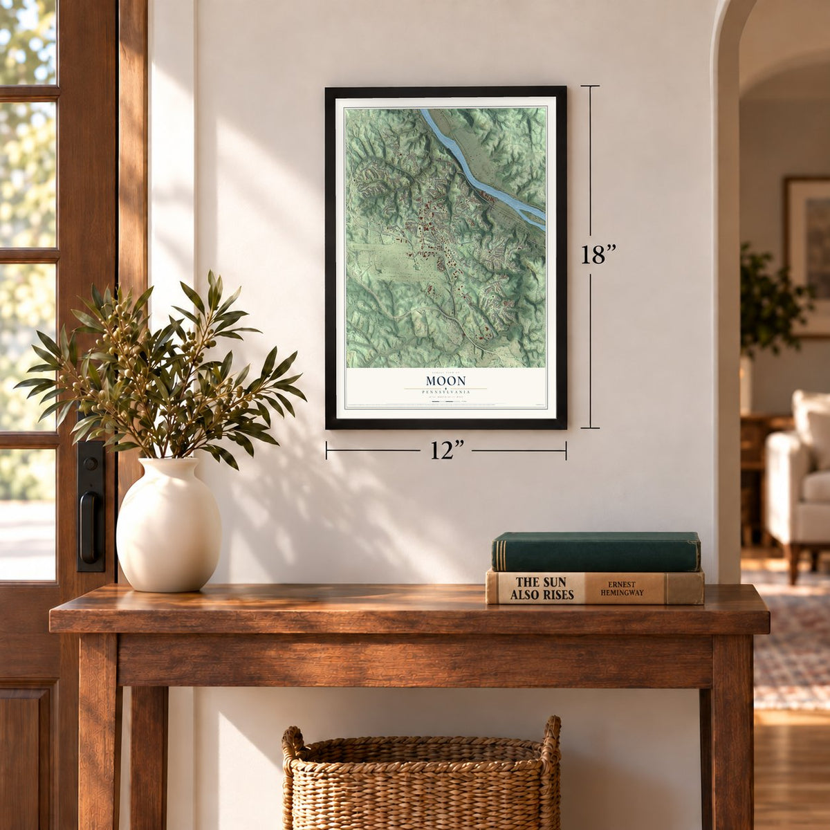
12" x 18" Archival Matte Print
A Map of Home. A Work of Art.
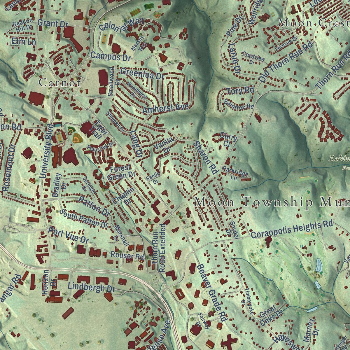
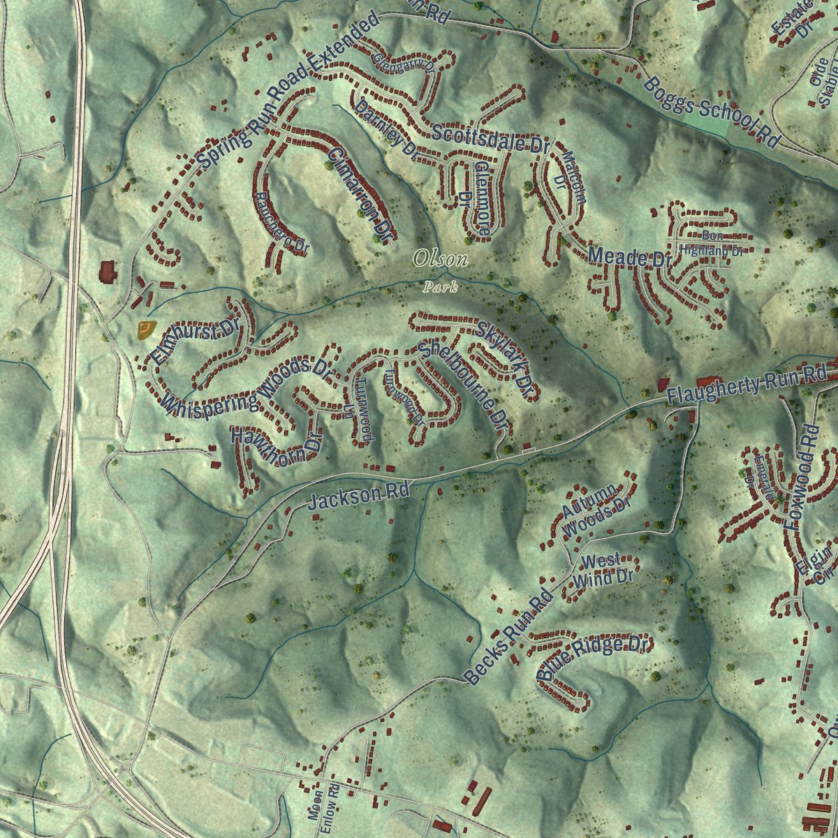
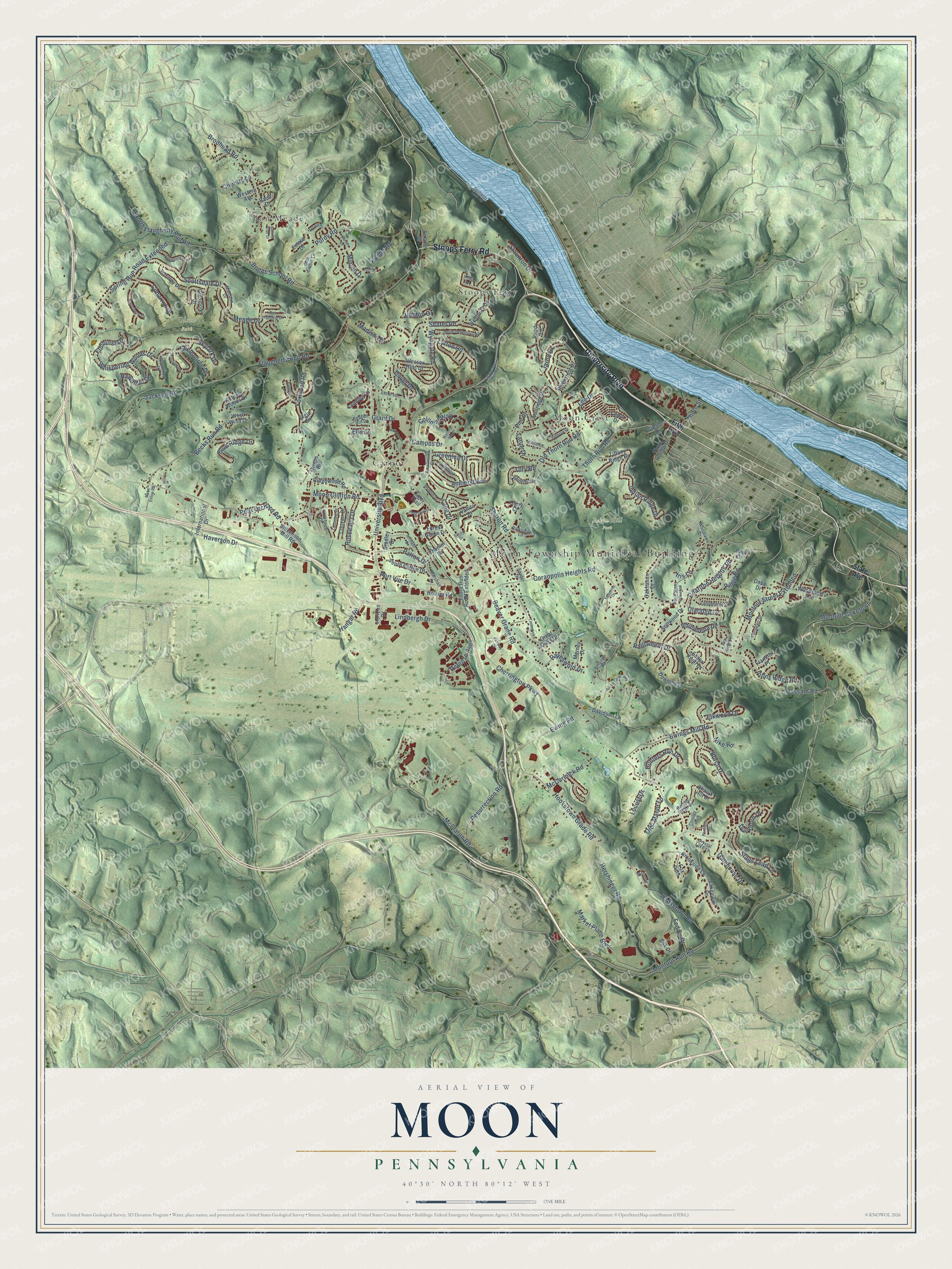
Explore Moon, Pennsylvania from a whole new perspective. Created using aerial imagery and detailed geographic data, this map captures Moon building by building, with labeled streets, familiar landmarks, and shaded topographical relief that highlights the natural contours of the landscape.
Combining modern data with the timeless character of a vintage atlas, this map is just as interesting up close as it is beautiful on the wall. Whether you grew up in Moon, spent memorable years there, or call it home today, this unique map is a great way to celebrate a place that means something to you. Zoom in on the preview to look for your street, and then order a print to put your memories on the wall.
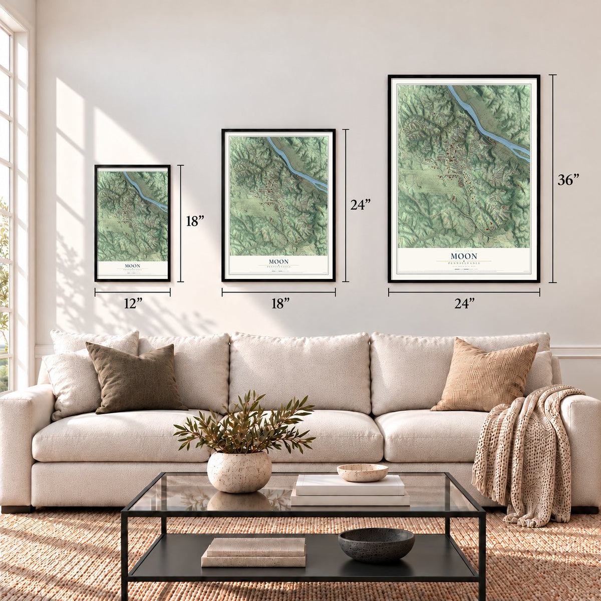
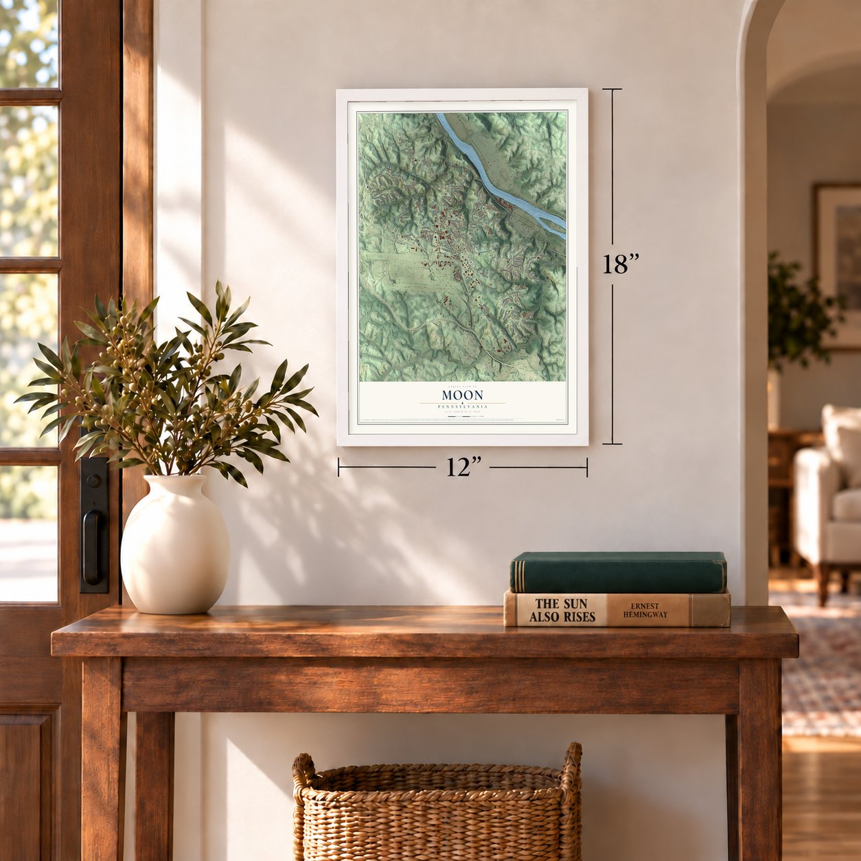
Three ways to hang it
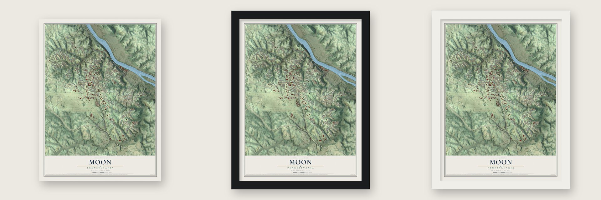
Unframed archival matte, a black wood frame or a white wood frame.
Up close
Geography Worth Displaying
This map was created using accurate cartographic data and authoritative geographic sources, including the U.S. Geological Survey and the Census Bureau. The map brings together terrain, waterways, roads, and building detail. The majority of the streets are labeled, houses are accurately depicted, and the topography is derived from government sources. Combining local data with carefully composed color and shading leads to this beautifully detailed Moon artwork for your wall.
Rather than simply showing street outlines, we’ve included as many of the street names as we could reasonably fit on the map while keeping their names legible. Zoom in on the high resolution preview to see exactly what’s on the map. We truly set out to create a statement piece for anyone who loves Moon. So whether it’s for you, or a gift for someone you love, we hope this map of Moon brings back fond memories.
Read the story behind this map of Moon, Pennsylvania from 2026.
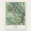
Find your street
Names on the Moon map
Every name below is printed on this map. Look for your street, your school, the park where you played, or the pond down the road.
Places and landmarks8
- Moon Township Municipal Building
- Moon Park
- Olson Park
- Robin Hill Park
- Stoops Ferry
- Bon Meade
- Moon Crest
- Carnot
Streets and roads192
- University Boulevard
- Stoops Ferry Road
- Hangar Road
- Montour Run Road
- McClaren Road
- Resurrection Road
- Beaver Grade Road
- Brodhead Road
- Flaugherty Run Road
- Moon Clinton Road
- Thorn Run Road
- Coraopolis Heights Road
- Spring Run Road Extended
- Shafer Road
- Ewing Road
- Hassam Road
- Becks Run Road
- Foxwood Road
- Cherrington Parkway
- Hookstown Road
- Hershinger Road
- Sharon Road
- Hookstown Grade Road
- Charlton Heights Road
- Ewings Mill Road
- Market Place Boulevard
- Montour Street Extended
- Meade Drive
- Duckhorn Drive
- Old Thorn Run Road
Show all 192 streets
- Wyngate Road
- Scottsdale Drive
- Rosemont Drive
- Montour Coketown
- Boggs School Road
- Amherst Avenue
- North Flaugherty Run Road
- Madison Drive
- Purdy Road
- McCormick Road
- Jackson Road
- Fed Ex Drive
- Whispering Woods Drive
- Patton Drive
- Claridge Drive
- Greenlea Drive
- Stags Leap Lane
- Colonial Way
- Campus Drive
- Burch Drive
- Lindbergh Drive
- Parliament Drive
- Thorn Street
- Haverson Drive
- Larue Drive
- Shelbourne Drive
- Cimarron Drive
- Country Lane
- Hunters Run Drive
- Staunton Drive
- Lytton Road
- Defense Avenue
- Pear Orchard Road
- Minton Drive
- Gatehouse Drive
- Hayeswold Drive
- Indian Ridge Drive
- Lee Drive
- Dover Drive
- Locust Drive
- Blue Ridge Drive
- Skylark Drive
- Johns Ridge Road
- Grant Drive
- Heldon Drive
- Olde Manor Lane
- Hawthorn Drive
- Elkwood Drive
- Elmhurst Drive
- Tory Road
- Philomena Drive
- Jarod Drive
- Konter Road
- Nike Road
- Port Vue Drive
- Elm Lane
- Lang Drive
- Ridge Road
- Iris Lane
- State Avenue
- Fifth Avenue
- Horizon Drive
- Rivercrest Drive
- Rouser Road
- Westbury Drive
- Randy Lane
- Thorn Run Road Extended
- Downing Drive
- Landing Lane
- Glenmore Drive
- Stillwood Drive
- Ridgewood Road
- Essex Knoll Drive
- Pine Drive
- Cedar Drive
- Oakhaven Drive
- South Patton Drive
- Gsk Drive
- Wallridge Drive
- Convair Drive
- Thorn Hollow Drive
- Darnley Drive
- Wessex Hills Drive
- Autumn Woods Drive
- Woodcrest Avenue
- Tiffany Ridge Drive
- Stevenson Mill Road
- Tiger Trail
- Davidson Lane
- International Drive
- Forest Green Drive
- Brookside Lane
- Lakeview Drive
- Marney Drive
- Western Avenue
- Chaplin Drive
- Fox Path
- Gibson Drive
- Franklin Place
- Estate Drive
- Park Drive
- Great Oaks Drive
- Owens Road
- Chaulk Hill Drive
- West Wind Drive
- Bradley Drive
- Vanita Drive
- Airlane Drive
- Baun Drive
- Curry Court
- Elgin Circle
- Dobe Drive
- Lansdowne Drive
- Lockheed Drive
- Snyder Drive
- Beacon Hill Drive
- Pococen Drive
- Ranchero Drive
- Malcolm Drive
- Marshall Drive
- Turnwood Lane
- Bertley Ridge Drive
- Smallwood Drive
- Baintree Road
- Parkridge Lane
- Olde Stable Lane
- Woodlawn Drive
- Crystal Lake Lane
- Maple Street Extended
- Massey Way
- North Jamestown Road
- Joe Denardo Way
- Timberyoke Drive
- Wyndhurst Drive
- Glengarry Drive
- Old Narrows Run Road
- Beitsinger Road
- Springer Drive
- Chimney Rock
- Valentine Drive
- Shippen Drive
- Crestview Drive
- Lycoming Drive
- Emerald Drive
- Turnwood Drive
- Polo Club Drive
- Harvest Court
- Bon Highland Drive
- Bonnie Brae Drive
- Fernvue Drive
- Key Garden Drive
- Emma Lane
- Penfolds Place
- Evergreen Lane
- Kris Drive
- Dashields Lock Road
- Montclair
- Barnes Drive
- Moon Enlow Road
- Arthur Drive
- Fairway Drive
- Sanlin Drive
Names are listed as they appear on the printed map. Zoom into the product photos to find them.
About Moon, Pennsylvania
Moon Township lies in Allegheny County beside the Ohio River, about 12 miles northwest of Pittsburgh. Established in 1788, the community later developed strong connections to aviation, wartime industry, and higher education.
- 2020 PopulationThe Census Bureau counted 27,240 people in Moon in 2020.
- Original TownshipMoon was created in 1788 as one of the original townships of the newly formed Allegheny County.
- Wartime MooncrestThe federal government built Mooncrest in 1943 to house defense workers producing armor plate, munitions, and ships during World War II.
- Airport ConnectionPittsburgh International Airport arrived in Moon in 1951, and much of its runways and facilities remain within the township.
- University CampusRobert Morris University's main campus is in Moon, where the university enrolls nearly 5,000 students.
Keep exploring Pennsylvania
Moon is one of 3,725 Pennsylvania towns we've mapped. Every dot on the map is a print of its own.
The search covers every state, Pennsylvania first.
Near Moon
Order 2 or more town maps and save 10%. Shown in the size and finish you picked above, so they hang as a set.
- Carnot-Moon 12" x 18" / Archival Matte Print $39.99
- Coraopolis 12" x 18" / Archival Matte Print $39.99
- Glen Osborne 12" x 18" / Archival Matte Print $39.99
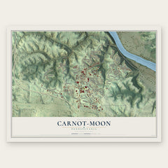
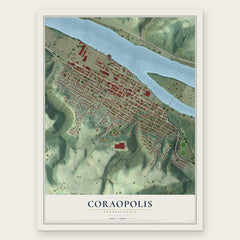
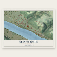
More maps nearby: Sewickley, Bon Meade, Haysville, Edgeworth and Crescent.
The art of mapping a place
How This Map Was Made
Real places. Remarkable detail. Discover the layers that turn geographic data into a map of home.

The view from above
Aerial imagery reveals the character of the land: woodland, open fields, and the patterns of a place.

The shape of the land
Elevation data brings hills, valleys, and subtle changes in the landscape into view.

The details of home
Roads, waterways, and building footprints come together to make the map feel unmistakably local.

Geography becomes art
Considered color, shading, and typography bring the layers together in a map made for your wall.


Process illustrated with Mendon, Massachusetts. Aerial imagery: USDA NAIP. Terrain: USGS 3D Elevation Program. Map details and finished artwork: KNOWOL.
The Details
About This Print
Choose an archival matte print, or a black or white Ayous wood frame. The archival matte print is unframed.
Select your size and finish above to see the matching product image and price.
Materials & Craftsmanship
A contemporary map with the character of a classic atlas, printed on archival matte paper. Optional frames are made from Ayous wood.
Your printed map does not include the watermark shown in the full-map preview.
Shipping & Delivery
Free shipping within the United States. Every print is made to order in the USA.
Buying a gift? Add a note in your cart and we'll include it. We never put prices in the package.
Prints ship within 2 to 3 business days. Allow 7 to 10 days total from ordering for delivery. Timing may vary during holidays or periods of high order volume.
Read our shipping policy.
Returns and damaged prints
Each print is made to order. Change-of-mind refunds are not available after production.
If your print arrives damaged, misprinted or incorrect, contact support@knowol.com within 30 days of receiving it. Include your order number, photos and a description of the issue.
Read our full refund and replacement policy. For questions about your order, email support@knowol.com.