
Search for another town



Free U.S. delivery 7 to 10 days after you order
Morganton, North Carolina Map Art
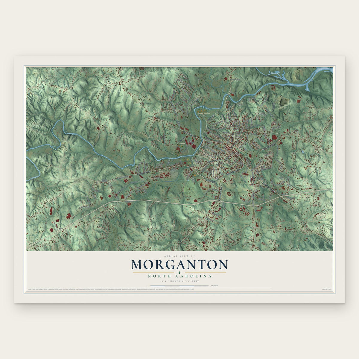
Building by building, with labeled streets and shaded relief.
12" x 18" Archival Matte Print
A Map of Home. A Work of Art.
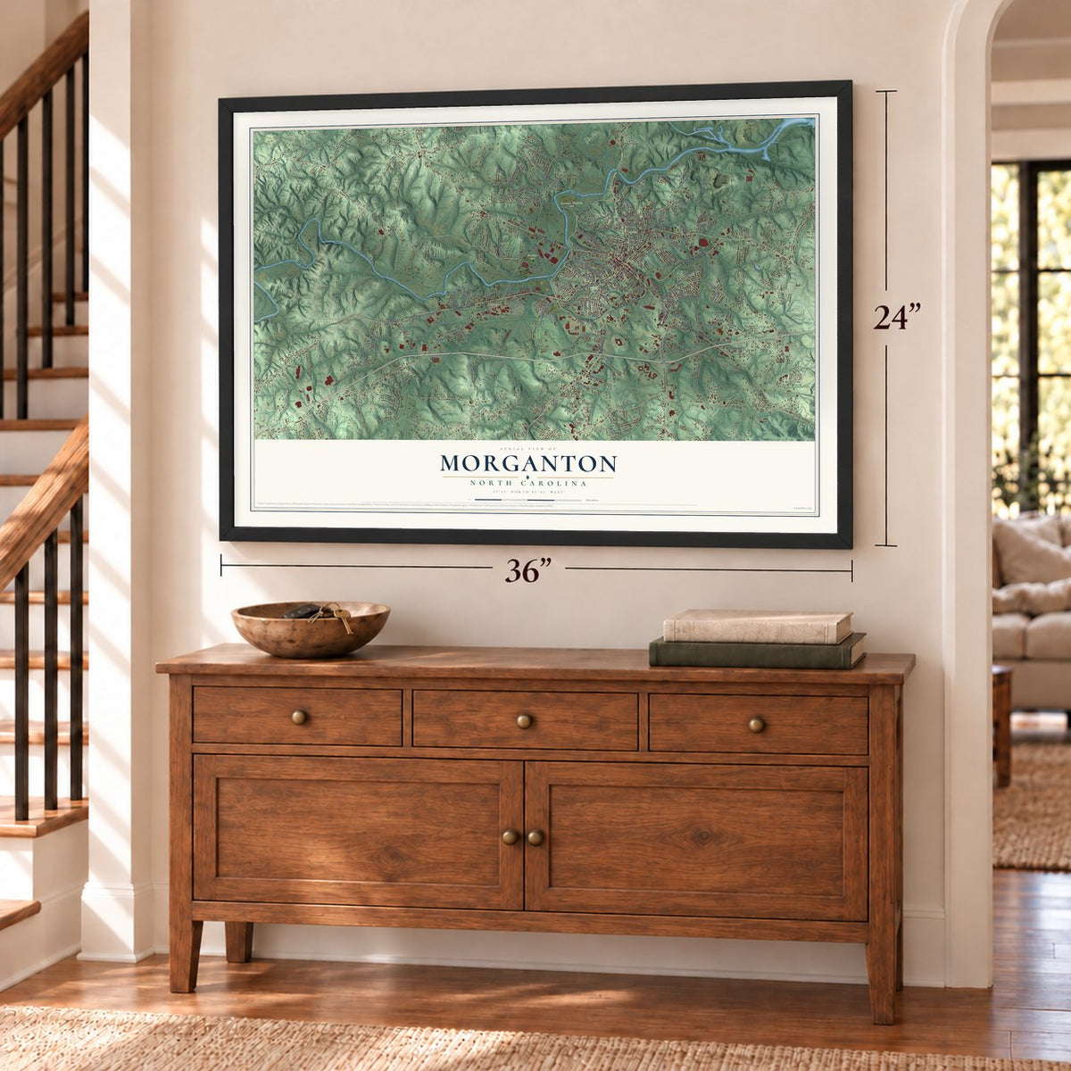
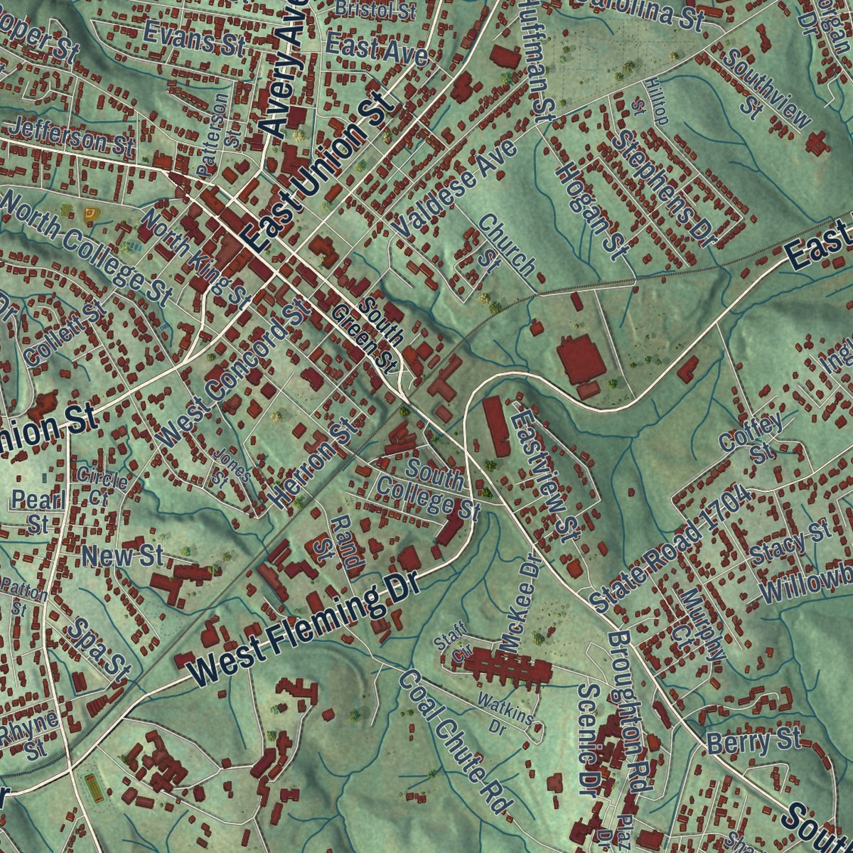
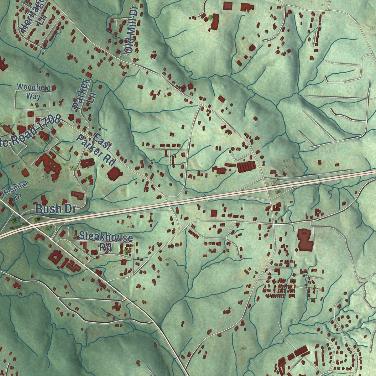
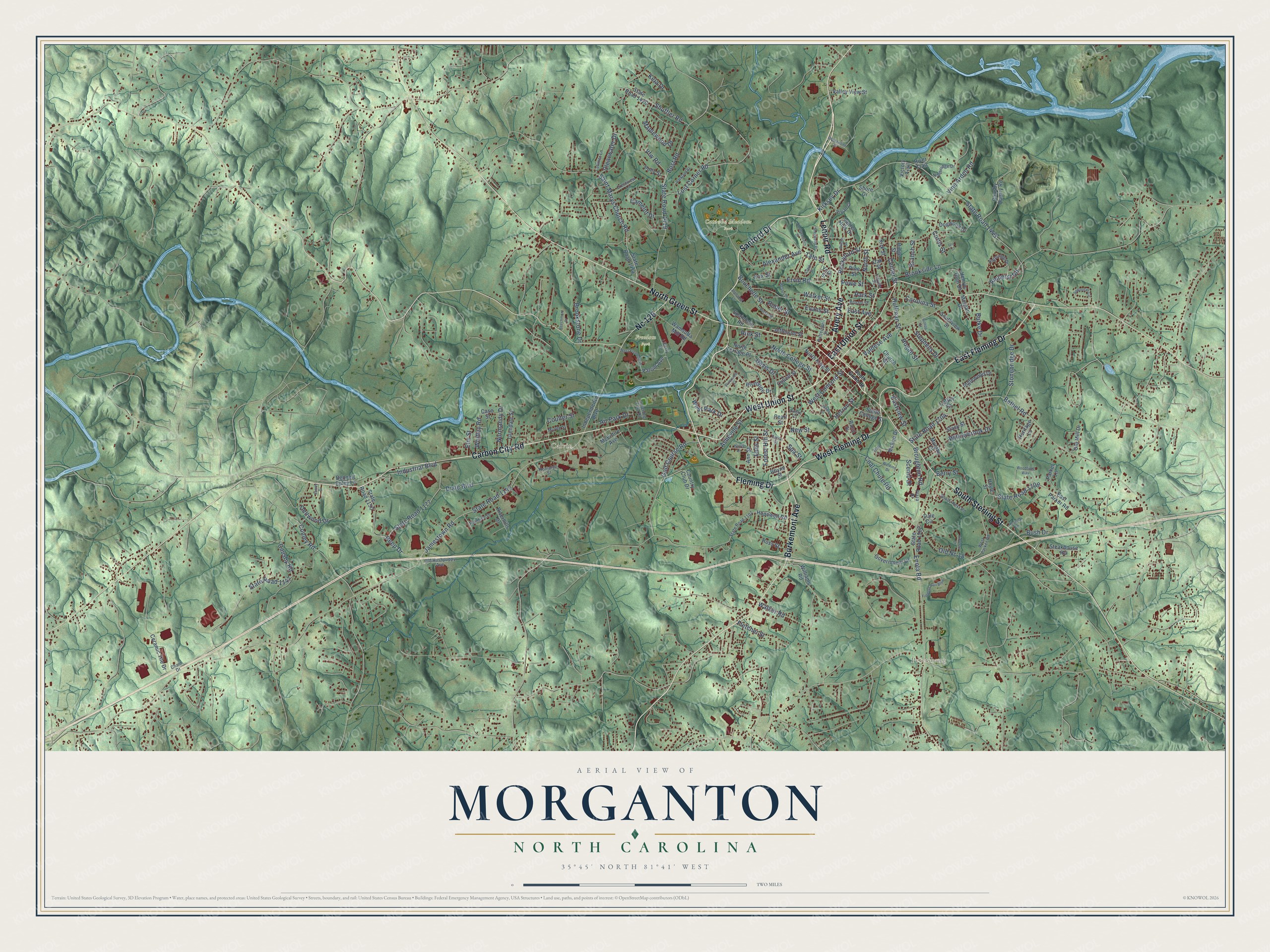
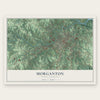
Explore Morganton, North Carolina from a whole new perspective. Created using aerial imagery and detailed geographic data, this map captures Morganton building by building, with labeled streets, familiar landmarks, and shaded topographical relief that highlights the natural contours of the landscape.
Combining modern data with the timeless character of a vintage atlas, this map is just as interesting up close as it is beautiful on the wall. Whether you grew up in Morganton, spent memorable years there, or call it home today, this unique map is a great way to celebrate a place that means something to you. Zoom in on the preview to look for your street, and then order a print to put your memories on the wall.
Three ways to hang it

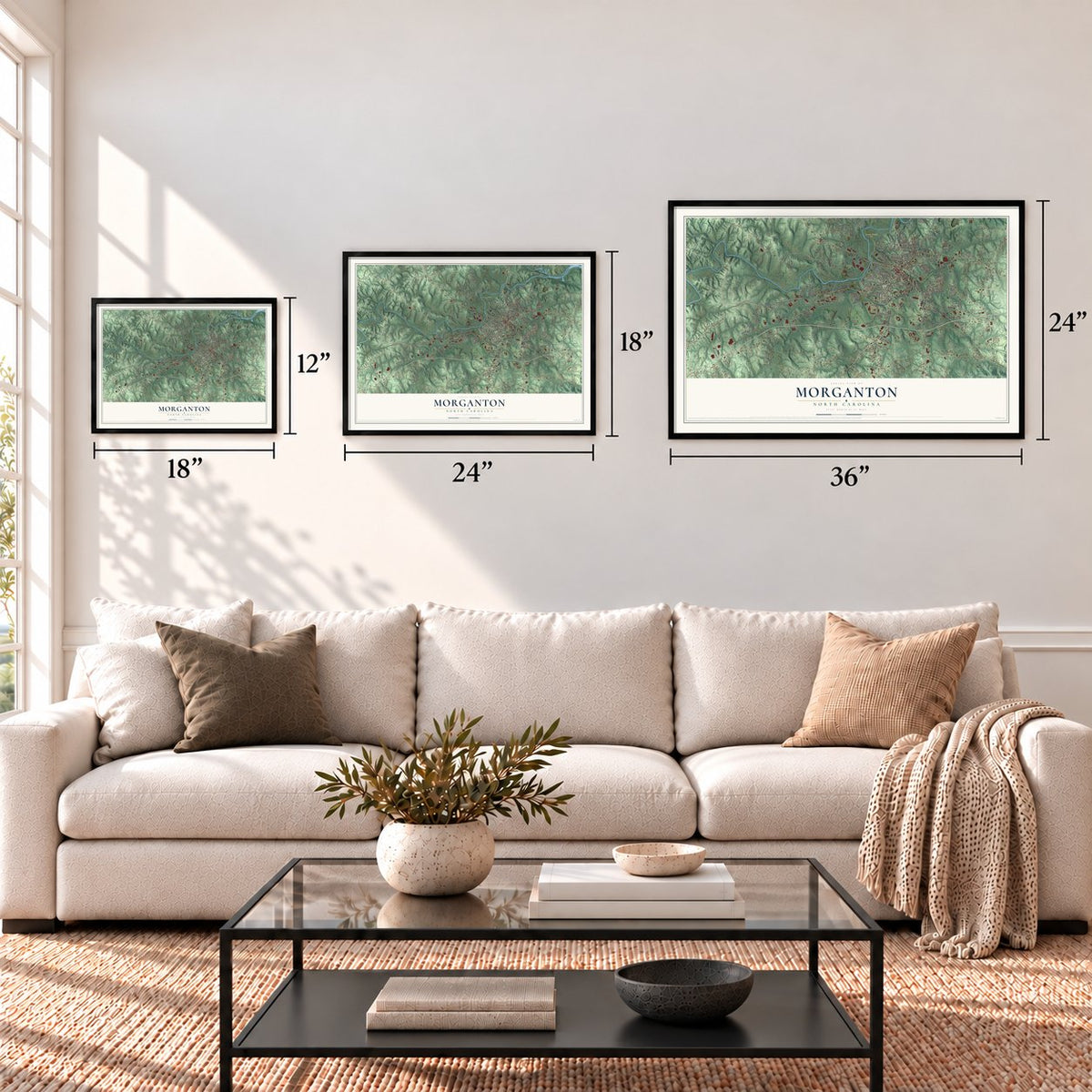
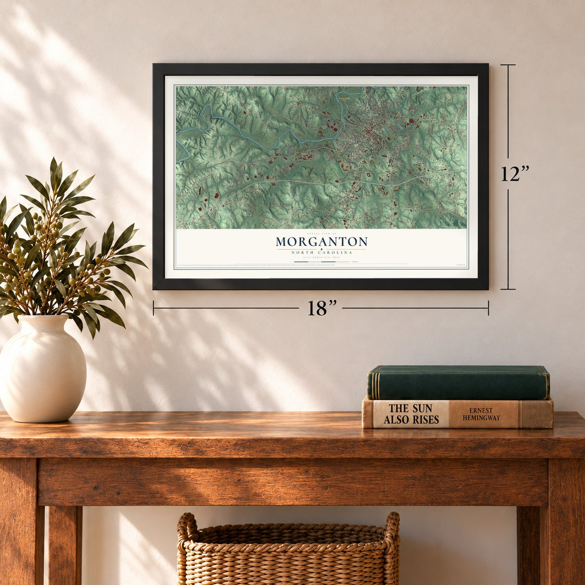
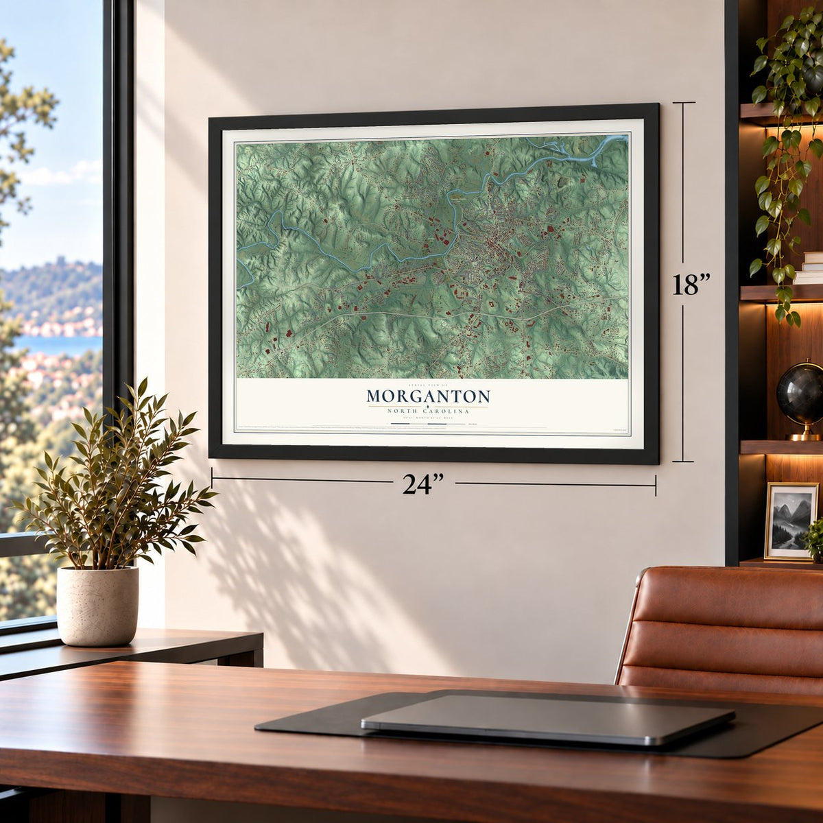
Unframed archival matte, a black wood frame or a white wood frame.
Up close
Geography Worth Displaying
This map was created using accurate cartographic data and authoritative geographic sources, including the U.S. Geological Survey and the Census Bureau. The map brings together terrain, waterways, roads, and building detail. The majority of the streets are labeled, houses are accurately depicted, and the topography is derived from government sources. Combining local data with carefully composed color and shading leads to this beautifully detailed Morganton artwork for your wall.
Rather than simply showing street outlines, we’ve included as many of the street names as we could reasonably fit on the map while keeping their names legible. Zoom in on the high resolution preview to see exactly what’s on the map. We truly set out to create a statement piece for anyone who loves Morganton. So whether it’s for you, or a gift for someone you love, we hope this map of Morganton brings back fond memories.
Read the story behind this map of Morganton, North Carolina from 2026.
Find your street
Names on the Morganton map
Every name below is printed on this map. Look for your street, your school, the park where you played, or the pond down the road.
Places and landmarks4
- Calvin
- Catawba Meadows Park
- Freedom Park
- Petersburg
Streets and roads197
- Carbon City Road
- Lenoir Road
- West Union Street
- East Union Street
- North Green Street
- South Sterling Street
- Sanford Drive
- Fleming Drive
- Burkemont Avenue
- East Fleming Drive
- West Fleming Drive
- Avery Avenue
- Nc 126
- Rockyford Street
- West Concord Street
- Alexander Avenue
- Broughton Road
- Kirksey Drive
- State Road 1443
- State Road 1708
- Vine Arden Road
- Jamestown Road
- State Road 1142
- Bost Road
- State Road 1419
- Bethel Road
- Dixie Boulevard
- State Road 1177
- Bouchelle Street
- Old Nc 18
Show all 197 streets
- Saint Marys Church Road
- Causby Road
- State Road 1147
- Valdese Avenue
- Vfw Road
- Industrial Boulevard
- Coal Chute Road
- Reep Drive
- Asheville Street
- Ervin Road
- Willowbrook Drive
- Hogan Street
- North College Street
- Tate Street
- Shuffler Road
- Lost Corner Road
- Camelot Drive
- Enola Road
- State Road 1704
- Brookside Lane
- Evans Street
- Maplewood Drive
- Amherst Road
- Stonebridge Drive
- Walker Road
- Eastview Street
- Davis Drive
- Burke Drive
- Golf Course Road
- Center Street
- Air Park Drive
- North Street
- Normandy Drive
- West Park Drive
- Forest Hill Street
- Clearwater Drive
- Huffman Street
- Bush Drive
- Walker Street
- Herron Street
- Brookstone Drive
- Stephens Drive
- Fletcher Street
- Carolina Street
- Dellwood Drive
- Whitley Road
- Powe Street
- Falls Street
- Roper Street
- Elm Street
- Scenic Drive
- Branch Street
- East Avenue
- New Street
- Fox Street
- Conley Road
- Coulter Street
- Curtis Street
- Kela Drive
- Spa Street
- Park Street
- Berry Street
- Rink Street
- Patriot Avenue
- State Road 1414
- East Parker Road
- Hopewell Road
- Riverside Drive
- State Road 1150
- Ceramic Tile Drive
- Causby Quarry Road
- South College Street
- Wamsutta Mill Road
- Inglewood Drive
- State Road 1420
- North King Street
- State Road 1922
- Collett Street
- McKee Drive
- North Terrace Place
- Government Drive
- Church Street
- Country Club Drive
- Shore Drive
- Steakhouse Road
- Pine Street
- Laurel Hills Drive
- Independence Boulevard
- Polly Street
- Oak Street
- Valley View Street
- Glendale Street
- Coffey Street
- Dogwood Drive
- Riverhills Drive
- Rand Street
- Stacy Street
- Old Mill Drive
- Dale Circle
- Jefferson Street
- Henrys Glen Drive
- Parker Lane
- Southview Street
- Williams Road
- Ann Street
- Ross Street
- Kirk Street
- Spainhour Road
- McEntire Avenue
- Heritage Lane
- Victory Trail
- Bennett Epley Lane
- River Trail
- Morgan Drive
- Murphy Court
- York Street
- Case Street
- Hoyle Street
- Ridge Street
- Rhyne Street
- Pearl Street
- State Road 1107
- Highridge Drive
- West Parker Road
- Liberty Drive
- Shady Rest Road
- Plaza Drive
- Latimer Lane
- Old Hushpuppy Avenue
- Romarco Street
- First Street
- Northridge Drive
- Raintree Drive
- Crestview Lane
- Myrtle Street
- Patterson Street
- Linville Street
- Bristol Street
- Greenlee Ford Road
- Vivian Court
- Chain Drive
- Circle Court
- South Green Street
- Sequoyah Circle
- Woodfield Way
- Patton Street
- Watkins Drive
- Parkland Street
- Hilltop Street
- Staff Circle
- Clark Street
- Wilson Street
- West Freedom Drive
- Northwestern Drive
- Sherwood Place
- Fiddlers Run Boulevard
- Alphabet Lane
- Jones Street
- Riverside Court
- Shadowline Drive
- Beechmont Drive
- Wesley Drive
- Fiddlers Court
- Harris Drive
- Hospital Drive
- Ula Street
- Surrey Drive
Names are listed as they appear on the printed map. Zoom into the product photos to find them.
About Morganton, North Carolina
Morganton is a city of 17,474 people and the county seat of Burke County, in the Catawba River valley at the foot of the Blue Ridge Mountains. As more and more European settlers crossed the mountains, the town received its charter in 1784, the first town in western North Carolina to be chartered.
Late in the 19th century, the state legislature authorized public institutions here, among them the Western North Carolina Insane Asylum and the North Carolina School for the Deaf. Textile mills arrived in the early 20th century as industry left the union-dominated Northeast, but over the following decades those jobs moved overseas. Later, poultry plants grew up around the county's big poultry farms, and the work drew new families from Central America.
“Gillem marched toward a supply depot in Morganton but first encountered Confederate resistance at a bridge crossing the Catawba River.”
- A skirmish in April 1865Stoneman's raid through North Carolina reached Morganton in the last weeks of the Civil War. On April 17, 1865, Union and Confederate troops fought a small skirmish in the town.
- Senator Sam ErvinSam Ervin of Morganton represented North Carolina in the U.S. Senate for twenty years, from 1954 to 1974. He became known across the country for his part in two famous inquiries, the Joseph McCarthy hearings and, later, the Watergate hearings.
- The courthouse squareThe Burke County Courthouse, which joined the National Register in 1970, stands at the center of the old square. A bronze Confederate soldier, 9 feet tall, has stood on a stone base there since 1918, and each summer the square hosts concerts by local and regional performers.
- A festival after Labor DayThe Morganton Festival fills the weekend after Labor Day with local vendors and live music. In the first week of November, Saint Charles Borromeo Catholic Church holds its yearly Parish Food Festival.
Keep exploring North Carolina
Morganton is one of 952 North Carolina towns we've mapped. Every dot on the map is a print of its own.
The search covers every state, North Carolina first.
Near Morganton
Order 2 or more town maps and save 10%. Shown in the size and finish you picked above, so they hang as a set.
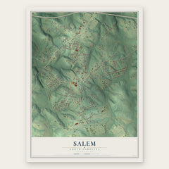
- Salem 12" x 18" / Archival Matte Print $39.99
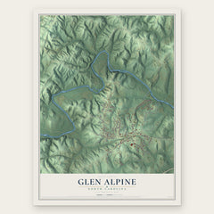
- Glen Alpine 12" x 18" / Archival Matte Print $39.99
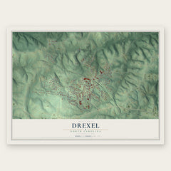
- Drexel 12" x 18" / Archival Matte Print $39.99
More maps nearby: Oak Hill, Valdese, Rutherford College, Baton and Gamewell.
The art of mapping a place
How This Map Was Made
Real places. Remarkable detail. Discover the layers that turn geographic data into a map of home.

The view from above
Aerial imagery reveals the character of the land: woodland, open fields, and the patterns of a place.

The shape of the land
Elevation data brings hills, valleys, and subtle changes in the landscape into view.

The details of home
Roads, waterways, and building footprints come together to make the map feel unmistakably local.

Geography becomes art
Considered color, shading, and typography bring the layers together in a map made for your wall.


Process illustrated with Mendon, Massachusetts. Aerial imagery: USDA NAIP. Terrain: USGS 3D Elevation Program. Map details and finished artwork: KNOWOL.
The Details
About This Print
Choose an archival matte print, or a black or white Ayous wood frame. The archival matte print is unframed.
Select your size and finish above to see the matching product image and price.
Materials & Craftsmanship
A contemporary map with the character of a classic atlas, printed on archival matte paper. Optional frames are made from Ayous wood.
Your printed map does not include the watermark shown in the full-map preview.
Shipping & Delivery
Free shipping within the United States. Every print is made to order in the USA.
Buying a gift? Add a note in your cart and we'll include it. We never put prices in the package.
Prints ship within 2 to 3 business days. Allow 7 to 10 days total from ordering for delivery. Timing may vary during holidays or periods of high order volume.
Read our shipping policy.
Returns and damaged prints
Each print is made to order. Change-of-mind refunds are not available after production.
If your print arrives damaged, misprinted or incorrect, contact support@knowol.com within 30 days of receiving it. Include your order number, photos and a description of the issue.
Read our full refund and replacement policy. For questions about your order, email support@knowol.com.