
Search for another town

Free U.S. delivery 7 to 10 days after you order
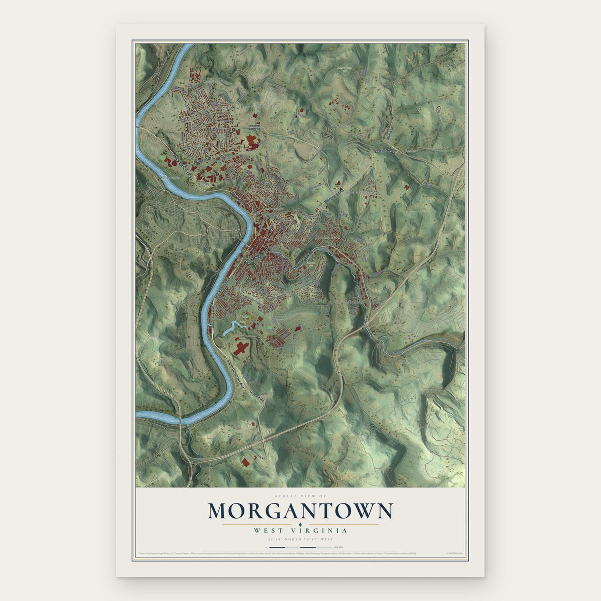
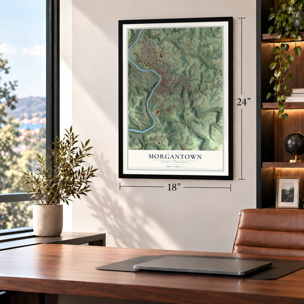
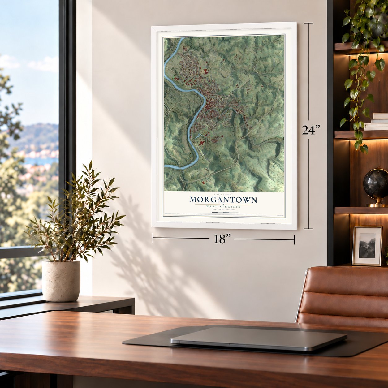
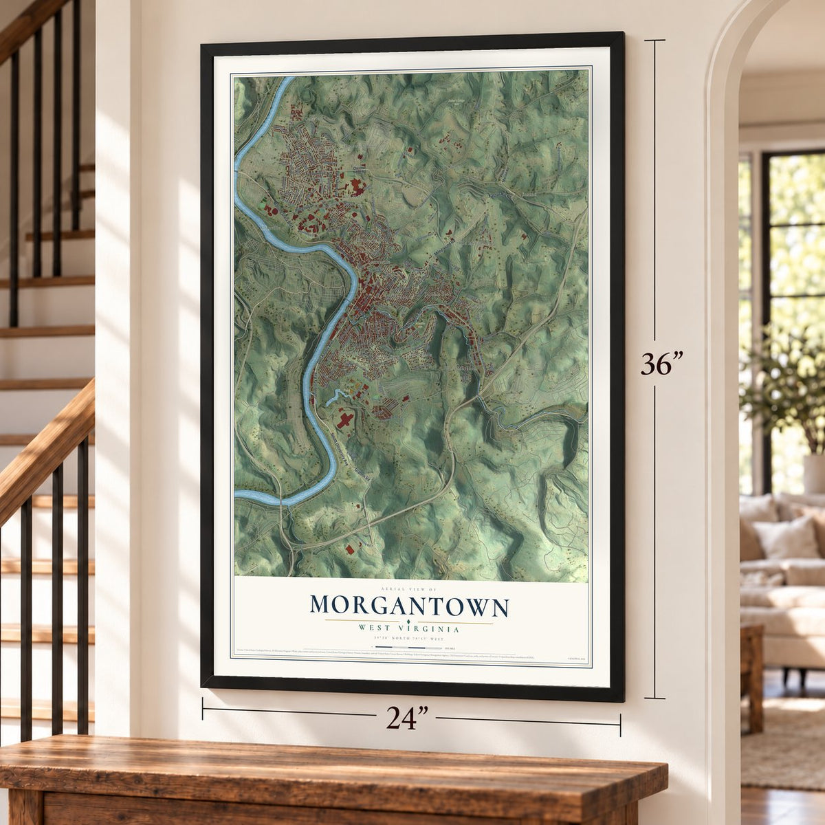
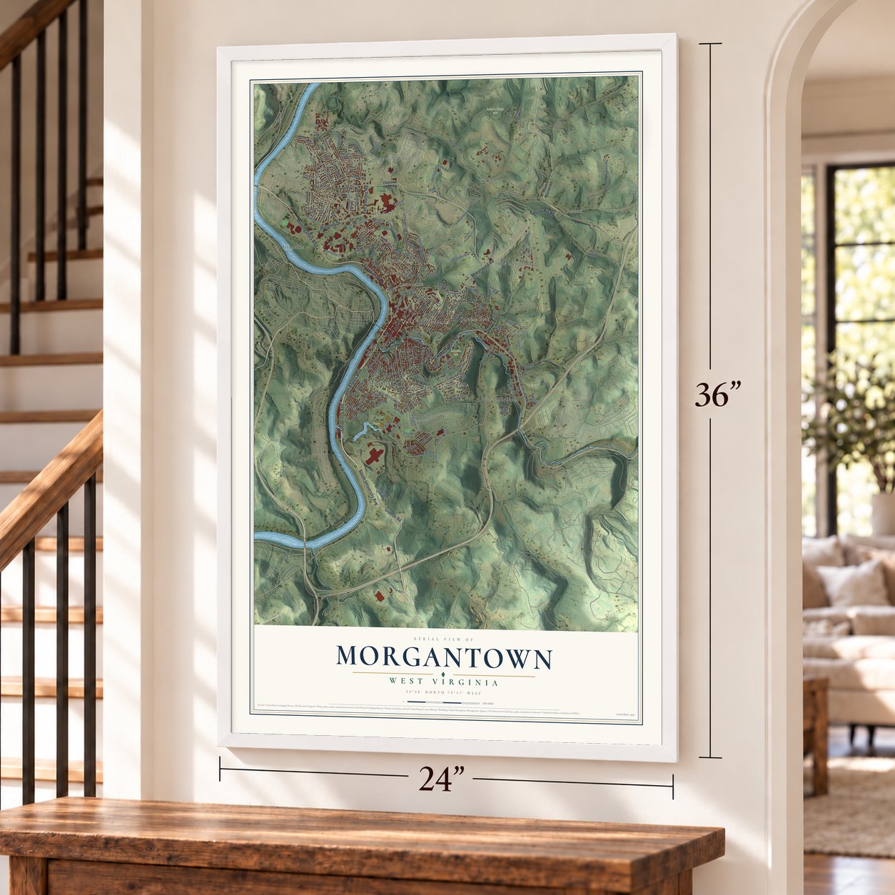
Morgantown, West Virginia Map Art
Building by building, with labeled streets and shaded relief.
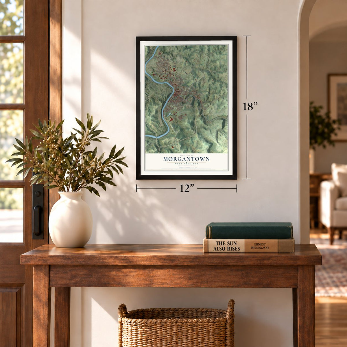
12" x 18" Archival Matte Print
A Map of Home. A Work of Art.
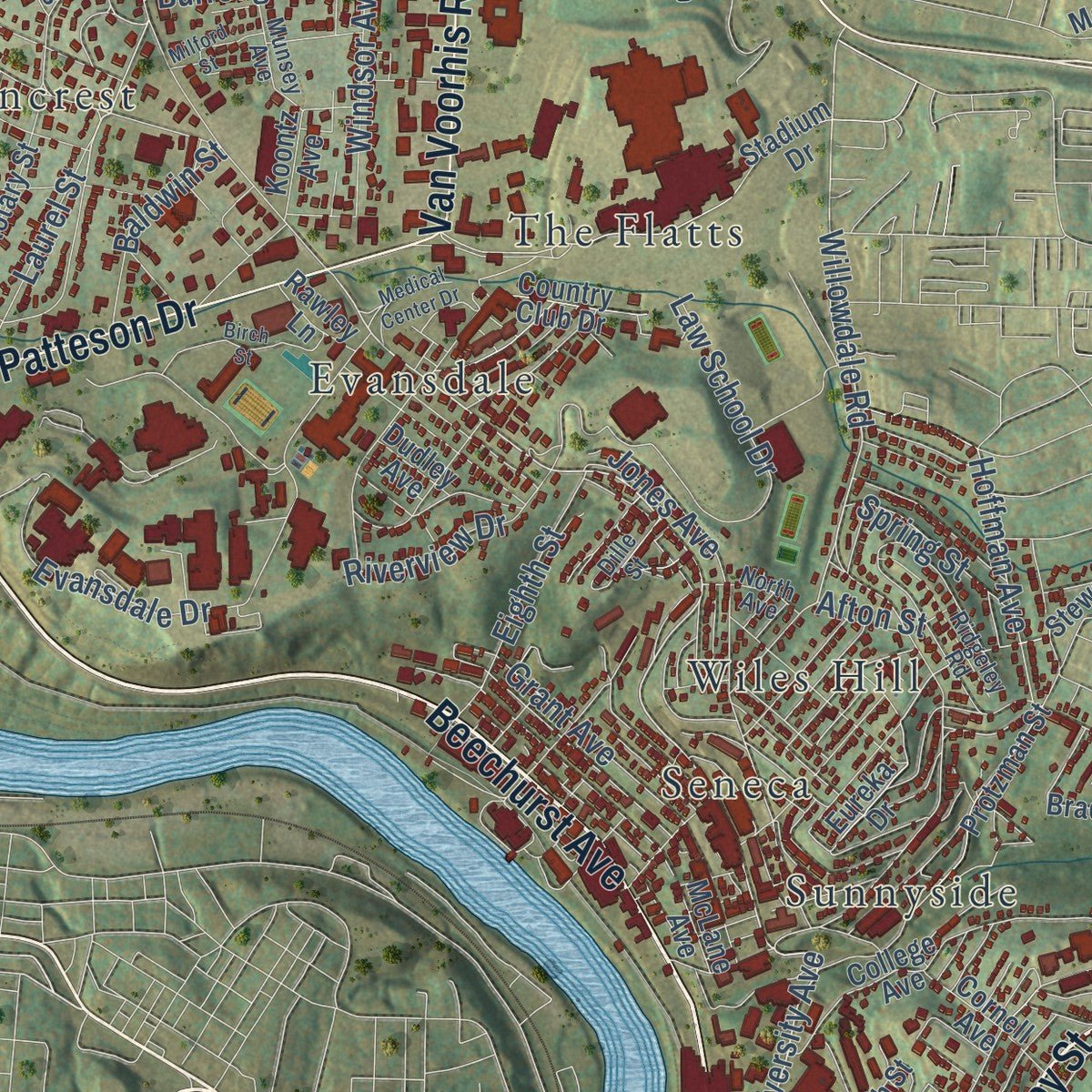
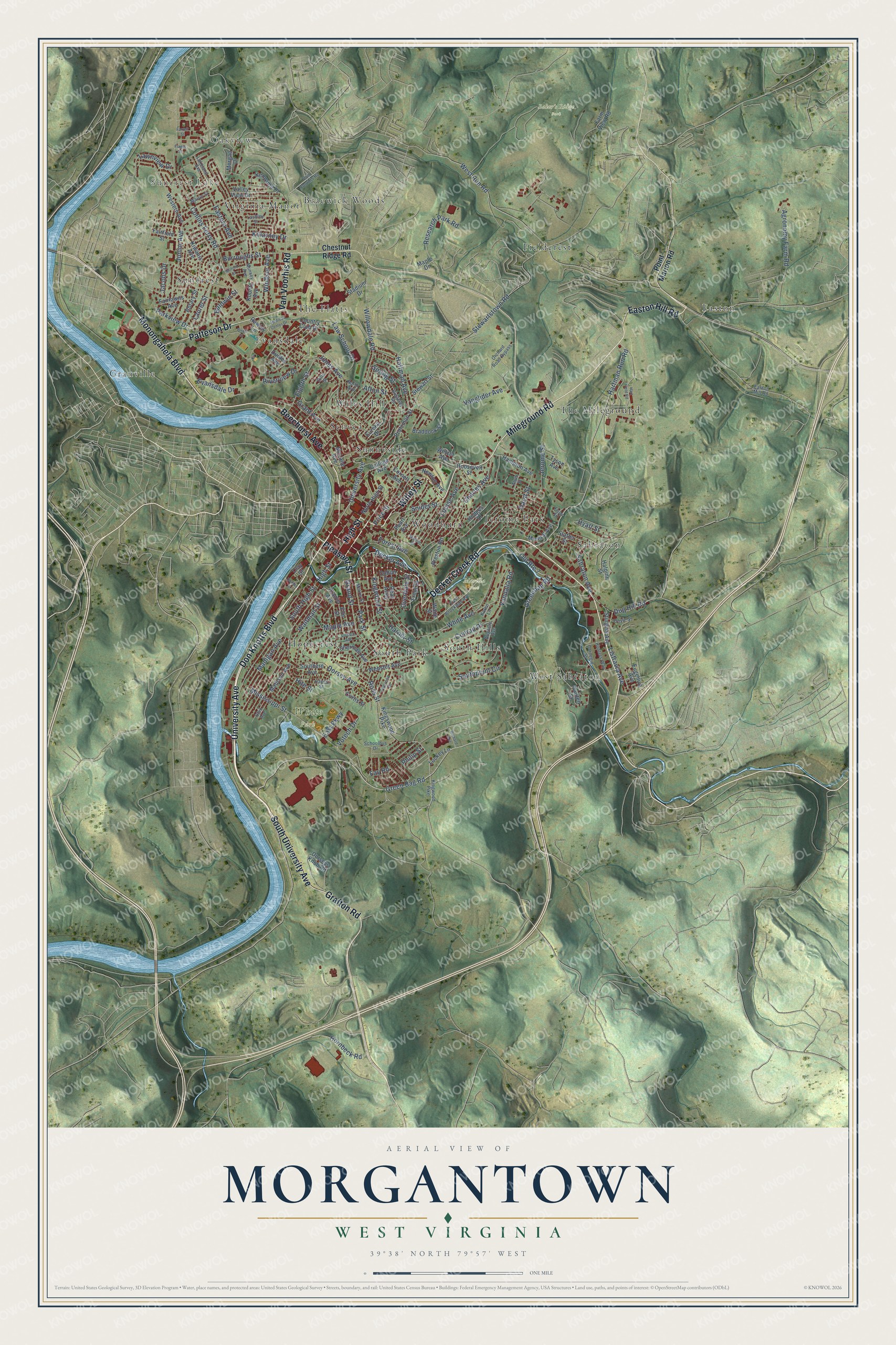
Explore Morgantown, West Virginia from a whole new perspective. Created using aerial imagery and detailed geographic data, this map captures Morgantown building by building, with labeled streets, familiar landmarks, and shaded topographical relief that highlights the natural contours of the landscape.
Combining modern data with the timeless character of a vintage atlas, this map is just as interesting up close as it is beautiful on the wall. Whether you grew up in Morgantown, spent memorable years there, or call it home today, this unique map is a great way to celebrate a place that means something to you. Zoom in on the preview to look for your street, and then order a print to put your memories on the wall.
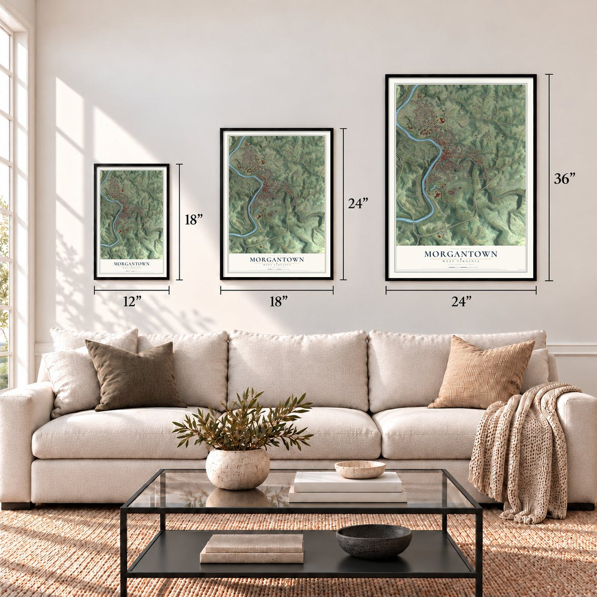
Three ways to hang it
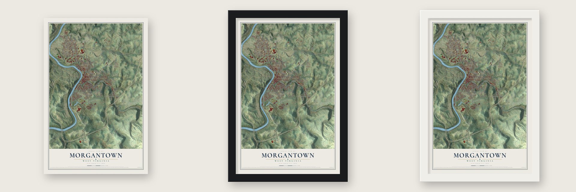
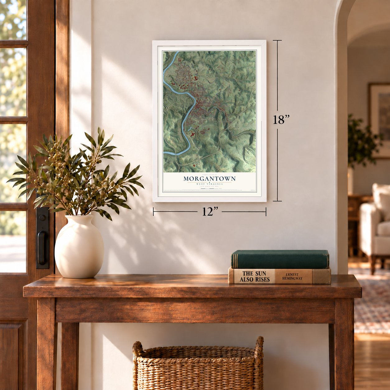
Unframed archival matte, a black wood frame or a white wood frame.
Up close
Geography Worth Displaying
This map was created using accurate cartographic data and authoritative geographic sources, including the U.S. Geological Survey and the Census Bureau. The map brings together terrain, waterways, roads, and building detail. The majority of the streets are labeled, houses are accurately depicted, and the topography is derived from government sources. Combining local data with carefully composed color and shading leads to this beautifully detailed Morgantown artwork for your wall.
Rather than simply showing street outlines, we’ve included as many of the street names as we could reasonably fit on the map while keeping their names legible. Zoom in on the high resolution preview to see exactly what’s on the map. We truly set out to create a statement piece for anyone who loves Morgantown. So whether it’s for you, or a gift for someone you love, we hope this map of Morgantown brings back fond memories.
Read the story behind this map of Morgantown, West Virginia from 2026.
Find your street
Names on the Morgantown map
Every name below is printed on this map. Look for your street, your school, the park where you played, or the pond down the road.
Places and landmarks24
- Oakview
- Suncrest Lake
- Baker's Ridge Park
- Marilla Park
- White Park
- Braewick Woods
- Easton
- Evansdale
- Fieldcrest
- Granville
- Hopecrest
- Jerome Park
Show all 24 places
- Sabraton
- Seneca
- South Hills
- South Park
- Suncrest
- Sunnyside
- The Flatts
- The Mileground
- Virginia Manor
- West Sabraton
- Wiles Hill
- Woodburn
Streets and roads165
- University Avenue
- Don Knotts Boulevard
- South University Avenue
- Decker Creek Road
- Pleasant Street
- Grafton Road
- Willey Street
- Beechurst Avenue
- High Street
- Monongahela Boulevard
- Mileground Road
- Patteson Drive
- Easton Hill Road
- Van Voorhis Road
- Dorsey Avenue
- Green Bag Road
- Old Route 7
- Laurel Street
- Greenbag Road
- Kingwood Street
- Ross Street
- Hartman Run Road
- Snider Street
- Willowdale Road
- Grand Street
- Harner Street
- Charles Avenue
- Maple Avenue
- Hoffman Avenue
- Darst Street
Show all 165 streets
- Vanglider Avenue
- Decker Avenue
- Stewartstown Road
- Collins Ferry Road
- Sabraton Avenue
- White Avenue
- West Run Road
- Mississippi Street
- Southpoint Circle
- Evansdale Drive
- Vandalia Road
- Law School Drive
- Jones Avenue
- Eastern Avenue
- Grant Avenue
- Louise Avenue
- Agronomy Farm Road
- Listravia Avenue
- Park Street
- Hite Street
- Research Park Road
- Madigan Avenue
- Price Street
- Burroughs Street
- Forest Avenue
- Killarney Drive
- Eighth Street
- Lawnview Drive
- Parkview Drive
- Riverview Drive
- South High Street
- Jerome Street
- Windsor Avenue
- Baldwin Street
- Waitman Street
- Votech Drive
- Conrad Place
- Junior Avenue
- Spring Street
- Hornbeck Road
- Jacobs Drive
- Hyatt Street
- Overdale Street
- Dug Hill Road
- Afton Street
- East Parkway
- Philip Street
- Fay Road
- Point Marion Road
- Chestnut Ridge Road
- Kingswood Pike
- Cobun Avenue
- Hampton Avenue
- Eureka Drive
- Front Street
- Stewart Street
- College Avenue
- Dorseys Knob Road
- Rotary Street
- Western Avenue
- Farm View Road
- Webster Avenue
- McLane Avenue
- Rawley Lane
- Madison Avenue
- Stadium Drive
- Preston Road
- Mineral Avenue
- Fairlawns Avenue
- Halpine Street
- Koontz Avenue
- Morgan Drive
- Prairie Avenue
- Protzman Street
- North High Street
- Newton Avenue
- Southern Avenue
- Kiwanis Avenue
- Sherman Avenue
- Sturgiss Avenue
- Hodges Street
- Puriten Street
- Dudley Avenue
- Braddock Street
- Cornell Avenue
- Country Club Drive
- Roosevelt Street
- Statler Street
- Kenwood Place
- Fairfield Street
- Luckey Lane
- Elm Street
- Valley View Drive
- Reay Alley
- Pearl Avenue
- Eugeniva Avenue
- Curtis Street
- Tyson Avenue
- Maple Drive
- Wetzel Avenue
- Wade Street
- Clay Street
- East Brockway Avenue
- Kingwood Pike
- Carnegie Street
- Augusta Avenue
- Orchard Road Bypass
- Easton Mill Road
- Munsey Avenue
- Ridgeley Road
- Lakeland Avenue
- Dille Street
- Hunters Way
- Lashley Street
- Hayes Street
- Alum Street
- Schoolbus Drive
- North Avenue
- Morris Street
- Theresa Drive
- Ohio Avenue
- Martin Street
- Doyle Street
- Karen Lane
- Frum Street
- Hart Field Road
- Medical Center Drive
- Birch Street
- Lincoln Avenue
- Donley Street
- Milford Street
- Marion Street
- Richard Avenue
- Farrell Street
- Flagel Street
Names are listed as they appear on the printed map. Zoom into the product photos to find them.
About Morgantown, West Virginia
Morgantown is a city of 30,347 people and the seat of Monongalia County, on the Monongahela River near the Pennsylvania line. Brothers Zackquill and David Morgan, sons of Morgan Morgan, came into this part of Virginia around 1767. In 1772 they built Fort Morgan where downtown stands today, and Zackquill made his home near what is now Fayette Street and University Avenue.
Zackquill Morgan fought in the French and Indian War and the Revolution and rose to the rank of colonel. By 1783 he had Major William Haymond lay out his land in streets and lots, and in October 1785 the Virginia General Assembly set aside fifty acres for Morgan's Town. The Assembly chartered it as Morgantown, Virginia, on February 3, 1838, when about 700 people lived there. On June 20, 1863, it became part of the new state of West Virginia.
- The Old Stone House, 1795Jacob Nuce built the Old Stone House in 1795 on Long Alley, the street now called Chestnut Street. It is one of the town's early buildings still standing, and it joined the National Register in 1972.
- Schools that built a universityFormal schooling began here in July 1803 with a one-story tuition school for boys and girls. Monongalia Academy, chartered in 1814 and paid for with surveyors' fees, drew students from 14 states at its peak under the Reverend James Robertson Moore. The Morgantown Female Academy and Woodburn Female Seminary both closed around the Civil War, and their assets went toward founding West Virginia University. It opened as an agricultural college in 1867 and took its present name in 1868.
- Welsh tinsmiths in WoodburnAt the start of the twentieth century, tinsmiths from Wales settled in Woodburn, once farmland on the hills east of downtown. They came for jobs at the Sabraton tinplate mill, which Sterling Faucet later took over as its plant. They worshiped at the Methodist church at High and Willey streets, held picnics in Whitemoore Park and kept up a yearly eisteddfod. Welsh could still be heard on Woodburn's streets in the 1930s.
- Driverless cars since 1975Federal transportation officials picked Morgantown as the test site for an experimental driverless transit system, because its seasons swing widely and its hills are steep. The Morgantown Personal Rapid Transit has carried riders since 1975, and students use it to travel between the university's campuses.
Keep exploring West Virginia
Morgantown is one of 514 West Virginia towns we've mapped. Every dot on the map is a print of its own.
The search covers every state, West Virginia first.
Near Morgantown
Order 2 or more town maps and save 10%. Shown in the size and finish you picked above, so they hang as a set.
- Westover 12" x 18" / Archival Matte Print $39.99
- Star City 12" x 18" / Archival Matte Print $39.99
- Granville 12" x 18" / Archival Matte Print $39.99
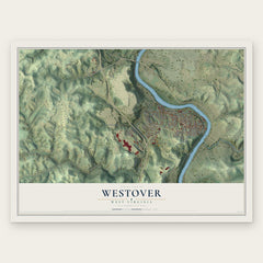
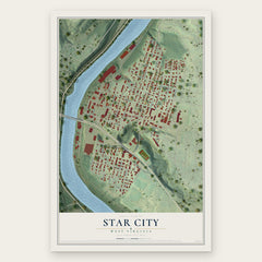
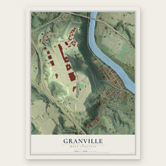
More maps nearby: Osage, Brookhaven, Booth, Cheat Lake and Cassville.
The art of mapping a place
How This Map Was Made
Real places. Remarkable detail. Discover the layers that turn geographic data into a map of home.

The view from above
Aerial imagery reveals the character of the land: woodland, open fields, and the patterns of a place.

The shape of the land
Elevation data brings hills, valleys, and subtle changes in the landscape into view.

The details of home
Roads, waterways, and building footprints come together to make the map feel unmistakably local.

Geography becomes art
Considered color, shading, and typography bring the layers together in a map made for your wall.


Process illustrated with Mendon, Massachusetts. Aerial imagery: USDA NAIP. Terrain: USGS 3D Elevation Program. Map details and finished artwork: KNOWOL.
The Details
About This Print
Choose an archival matte print, or a black or white Ayous wood frame. The archival matte print is unframed.
Select your size and finish above to see the matching product image and price.
Materials & Craftsmanship
A contemporary map with the character of a classic atlas, printed on archival matte paper. Optional frames are made from Ayous wood.
Your printed map does not include the watermark shown in the full-map preview.
Shipping & Delivery
Free shipping within the United States. Every print is made to order in the USA.
Buying a gift? Add a note in your cart and we'll include it. We never put prices in the package.
Prints ship within 2 to 3 business days. Allow 7 to 10 days total from ordering for delivery. Timing may vary during holidays or periods of high order volume.
Read our shipping policy.
Returns and damaged prints
Each print is made to order. Change-of-mind refunds are not available after production.
If your print arrives damaged, misprinted or incorrect, contact support@knowol.com within 30 days of receiving it. Include your order number, photos and a description of the issue.
Read our full refund and replacement policy. For questions about your order, email support@knowol.com.